The best running trails around Area G (Forster Creek/Mount Assiniboine)
4.5
(2)
78
runners
6
runs
Jogging routes around Area G (Forster Creek/Mount Assiniboine) traverse a magnificent alpine environment within Mount Assiniboine Provincial Park, a UNESCO World Heritage site. The region is characterized by glacier-clad mountains, towering peaks, and vast wildflower meadows, providing a dramatic backdrop for running. Trails range from gentle paths through larch forests and open meadows to more demanding routes with significant elevation gain. The remote nature of the park ensures a pristine backcountry experience for runners.
Best jogging routes around Area G…
Last updated: July 24, 2026
18
runners
19.9km
02:30
820m
820m
Hard run. Very good fitness required. Mostly paved surfaces. Suitable for all skill levels.
16
runners
25.0km
03:35
1,040m
1,040m
Hard run. Very good fitness required. Mostly paved surfaces. Suitable for all skill levels.

Sign up for free
9
runners
4.94km
00:35
90m
90m
Easy run. Great for any fitness level. Mostly paved surfaces. Suitable for all skill levels.
5.0
(1)
5
runners
6.85km
00:54
210m
220m
Moderate run. Good fitness required. Mostly paved surfaces. Suitable for all skill levels.
4.0
(1)
4
runners
6.23km
00:40
80m
80m
Moderate run. Good fitness required. Mostly paved surfaces. Suitable for all skill levels.
Our route recommendations are based on thousands of hikes, rides, and runs completed by other people on komoot.
Start today with a free account
Your next adventure awaits.
Login or Signup
Popular around Area G (Forster Creek/Mount Assiniboine)
Tips from the Community


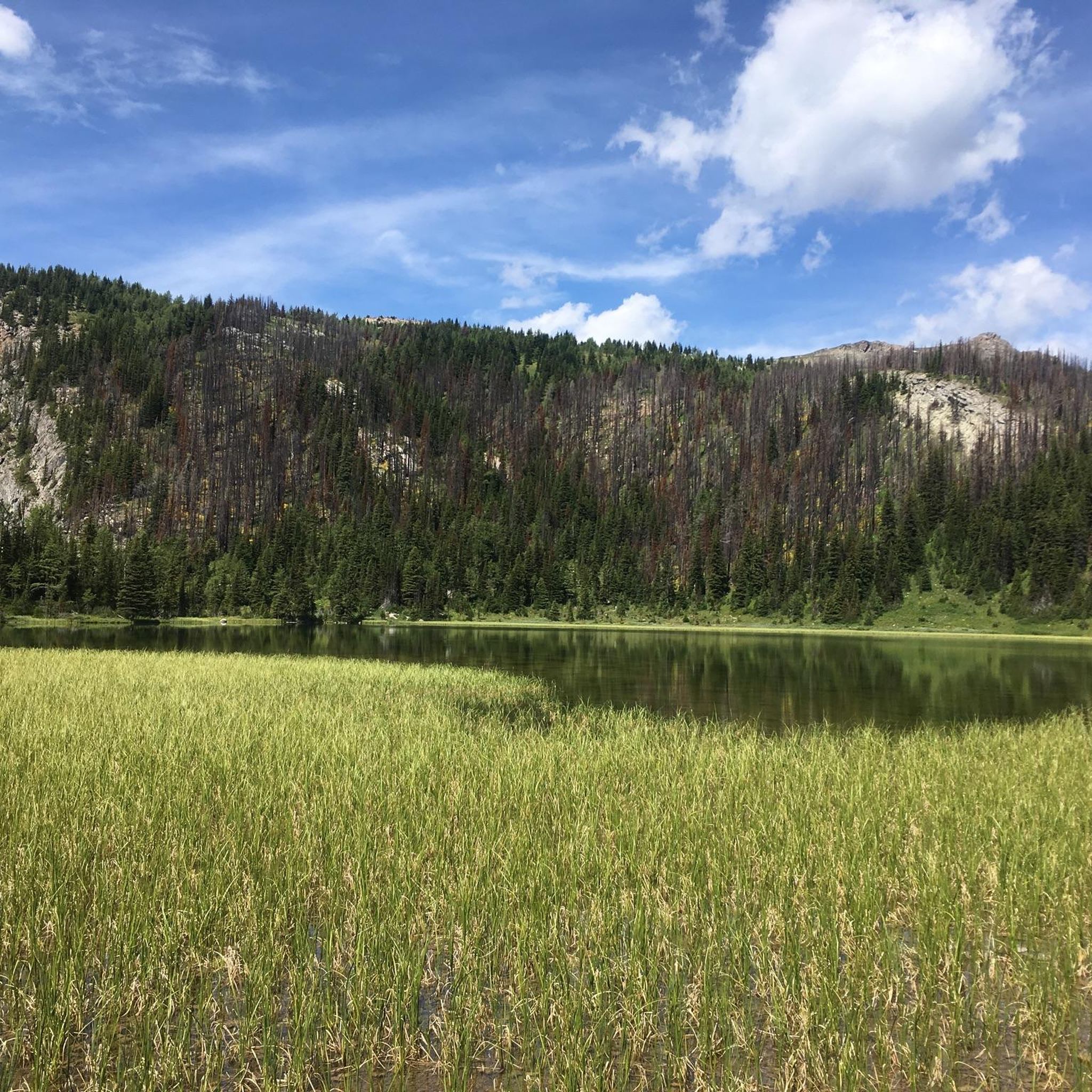
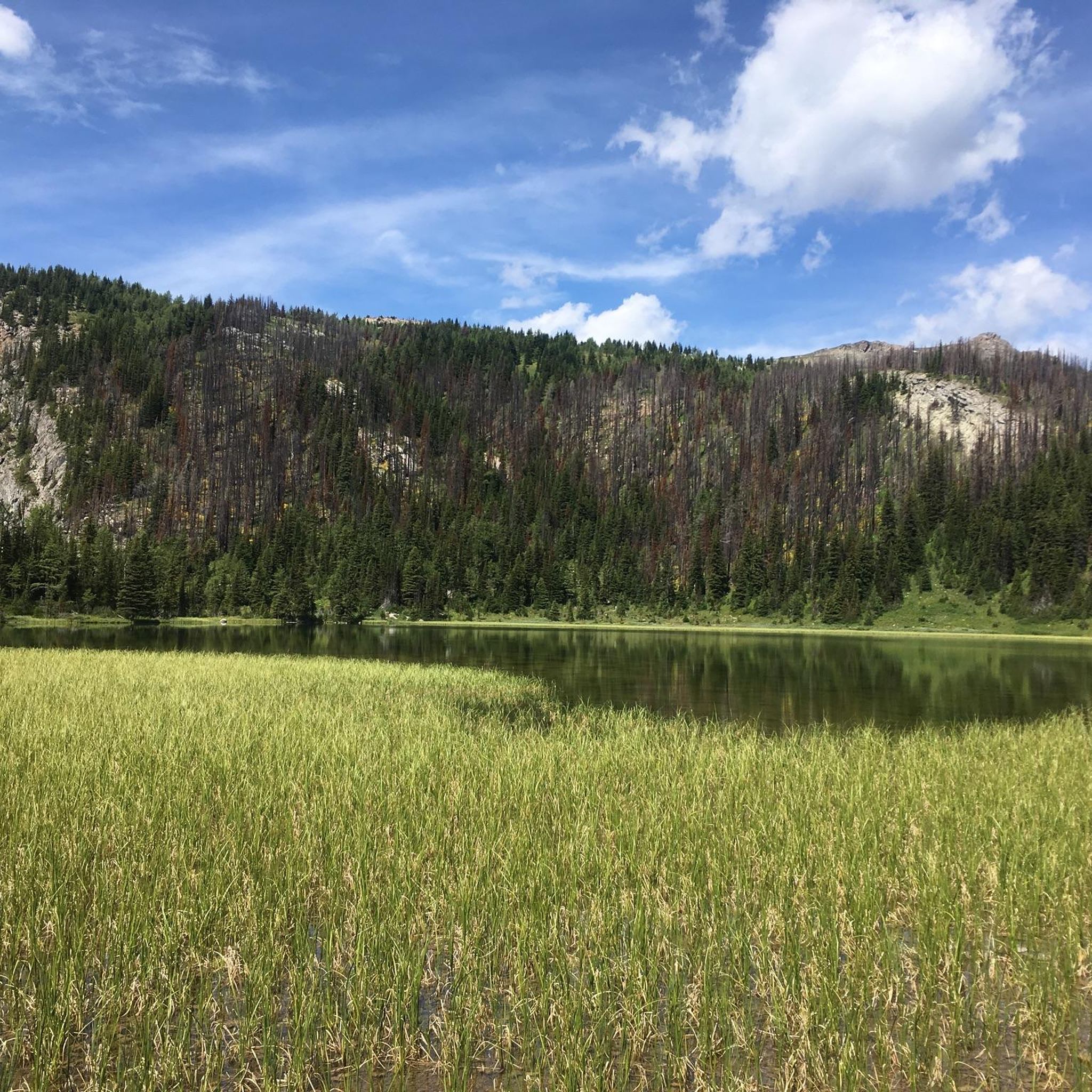
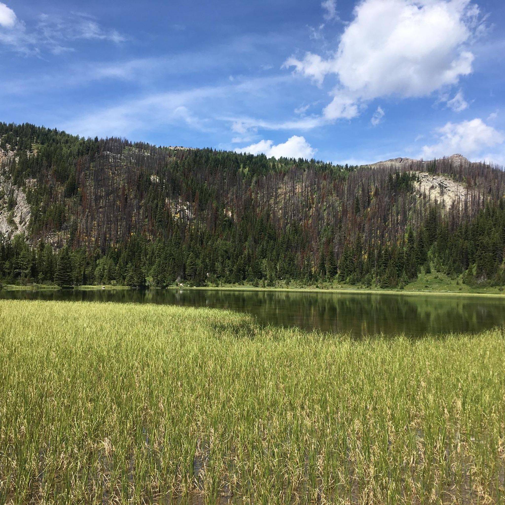
One of three lakes in the Sunshine Meadows with crystal clear water against a magnificent mountain backdrop. This one has a small island in the middle.
3
0
Frequently Asked Questions
What types of running trails can I find in Area G (Forster Creek/Mount Assiniboine)?
Area G offers a diverse range of running trails, from easy, shorter loops suitable for beginners to challenging, long-distance routes with significant elevation gain. You'll find paths through alpine meadows, larch forests, and demanding mountain passes, all set against a backdrop of glacier-clad mountains and towering peaks.
Are there any easy jogging routes suitable for beginners or a quick run?
Yes, for an easier run, consider the Running loop from Panorama Mountain Village, which is about 4.9 km with minimal elevation gain. Another similar option is the Running loop from Panorama Mountain Village, approximately 4.5 km. These are great for a relaxed jog or a warm-up.
What are some challenging long-distance running trails in the Mount Assiniboine area?
For experienced trail runners seeking a challenge, the Floe Lake loop from Floe Lake / Ball Pass Trailhead is a difficult 19.9 km route with over 800 meters of ascent. Another demanding option is the Healy Pass loop from Goat's Eye Lake, a 25.0 km path featuring over 1000 meters of elevation gain through high mountain passes.
Can I find moderate running trails in Area G?
Absolutely. A popular moderate option is the Rock Isle Lake loop from Mount Standish. This 6.8 km route offers a good workout with over 200 meters of elevation gain, providing a balance between challenge and accessibility.
What kind of natural features or landmarks can I expect to see while running in this region?
The region is renowned for its stunning natural beauty. You can expect to see iconic peaks like Mount Assiniboine, often called the 'Matterhorn of the Canadian Rockies.' Trails often pass by shimmering alpine lakes such as Moraine Lake, and through vibrant wildflower meadows, especially in areas like Sunshine Meadows. Don't miss the unique Paint Pots, cold mineral springs with colorful pools.
Are there any viewpoints or scenic spots along the running routes?
Many trails offer incredible panoramas. For instance, routes leading to Wonder Pass provide stunning views through larch forests and open meadows, including vistas of Marvel Lake. You might also encounter viewpoints like View of Lake Louise from the Big Beehive or Sentinel Pass, offering breathtaking mountain scenery.
What do other runners say about the jogging routes in Area G (Forster Creek/Mount Assiniboine)?
The running routes in Area G are highly regarded by the komoot community, holding an average score of 5.0 stars. Runners frequently praise the pristine backcountry experience, the dramatic mountain backdrops, and the variety of trails catering to different fitness levels.
What is the best time of year for trail running in Mount Assiniboine Provincial Park?
The best time for trail running in Mount Assiniboine Provincial Park is typically during the summer and early autumn months (July to September). During this period, trails are generally snow-free, wildflowers are in bloom, and the weather is most favorable for outdoor activities. However, always check current conditions as alpine weather can change rapidly.
Is public transport available to access the trailheads in Mount Assiniboine Provincial Park?
Mount Assiniboine Provincial Park is quite remote with no direct road access. Land access is primarily via hiking, cross-country skiing, or helicopter. This ensures a pristine backcountry experience, but means you'll need to plan your approach carefully, often involving a significant hike or shuttle service to reach the park's boundaries before starting your run.
Are permits or reservations required to run in Mount Assiniboine Provincial Park?
Yes, due to its location within Mount Assiniboine Provincial Park, permits are often required for overnight stays and sometimes for day use in certain areas, especially during peak season. It's crucial to check the official park regulations and make any necessary reservations well in advance. For detailed information on park access and regulations, you can visit Wikivoyage's guide to Mount Assiniboine Provincial Park.
Are there any circular running routes in the area?
Yes, many of the trails in Area G are designed as loops, offering a continuous running experience without retracing your steps. Examples include the Floe Lake loop and the Healy Pass loop, which are popular for their scenic circular paths through the alpine landscape.
What should I be aware of regarding wildlife while running in Area G?
Area G is home to diverse wildlife, including bears, elk, and various smaller mammals. It's essential to be bear-aware, carry bear spray, and know how to use it. Make noise while running, especially in dense vegetation, and never approach wildlife. Always store food securely and pack out all your trash to minimize human-wildlife conflict.
Most popular routes around Area G (Forster Creek/Mount Assiniboine)
Most popular attractions around Area G (Forster Creek/Mount Assiniboine)

Get inspired with the komoot mobile app


Explore more
Browse the best Running Trails & Routes in other regions.
