The best cycling routes around Area G (Forster Creek/Mount Assiniboine)
5.0
(8)
162
riders
9
rides
Touring cycling around Area G (Forster Creek/Mount Assiniboine) offers a diverse landscape for cyclists. The region is characterized by its proximity to mountainous areas, including Mount Assiniboine, alongside river valleys and provincial parks. Cyclists can expect routes that traverse varied terrain, from park trails to paths near significant water bodies like Moraine Lake and Forster Creek. The area provides a mix of elevations, suitable for different levels of touring cycling experience.
Best touring cycling routes around Area G (Forster Creek/Mount…
Last updated: November 1, 2026
30
riders
42.2km
02:41
530m
530m
Hard bike ride. Very good fitness required. Mostly paved surfaces.
5.0
(1)
22
riders
78.1km
04:57
910m
910m
Hard bike ride. Very good fitness required. Mostly paved surfaces.

4.7
(3)
23
riders
19.6km
01:19
260m
260m
Moderate bike ride. Good fitness required. Mostly paved surfaces.
5.0
(1)
14
riders
Moderate bike ride. Good fitness required. Mostly paved surfaces.
8
riders
13.4km
01:17
140m
140m
Easy bike ride. Mostly paved surfaces.
Get access to more routes and recommendations from other explorers.
Already have an account?
Our route recommendations are based on thousands of hikes, rides, and runs completed by other people on komoot.
Start today with a free account
Your next adventure awaits.
Popular around Area G (Forster Creek/Mount Assiniboine)
Tips from the Community

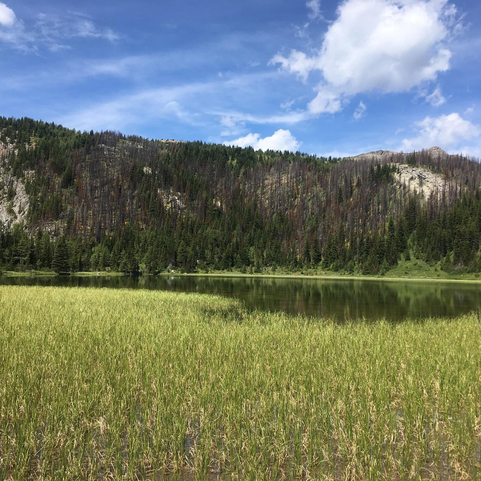
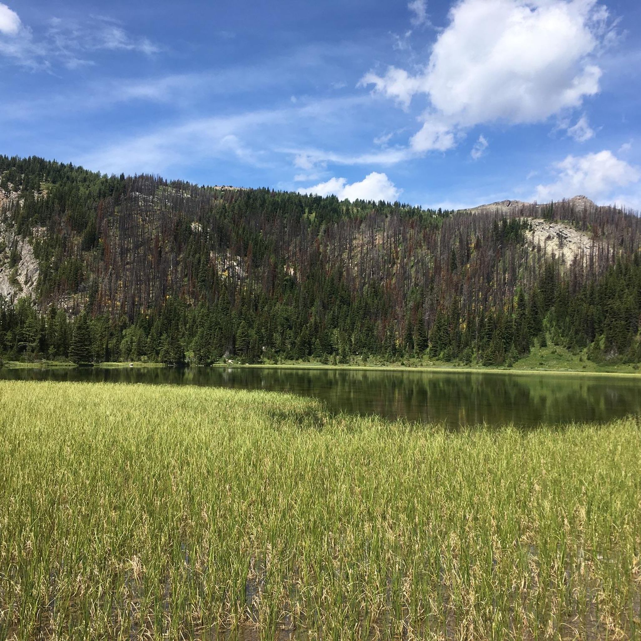
A very beautiful lake. By far more beautiful than Lake Louise
1
0

The Markin-MacPhail Westside Legacy Trail is a 25 kilometer multi-use trail linking the towns of Invemere and Fairmont. The trail is dotted with a number of picnic area, viewpoint, benches, and information kiosks making it a great place for the family to get out and enjoy the scenery.
0
0
This multi-use trail traces the ledges overlooking the Columbia River Valley. You'll have great views along the way but keep an eye out for mountain bikers as well, especially around blind corners.
0
0
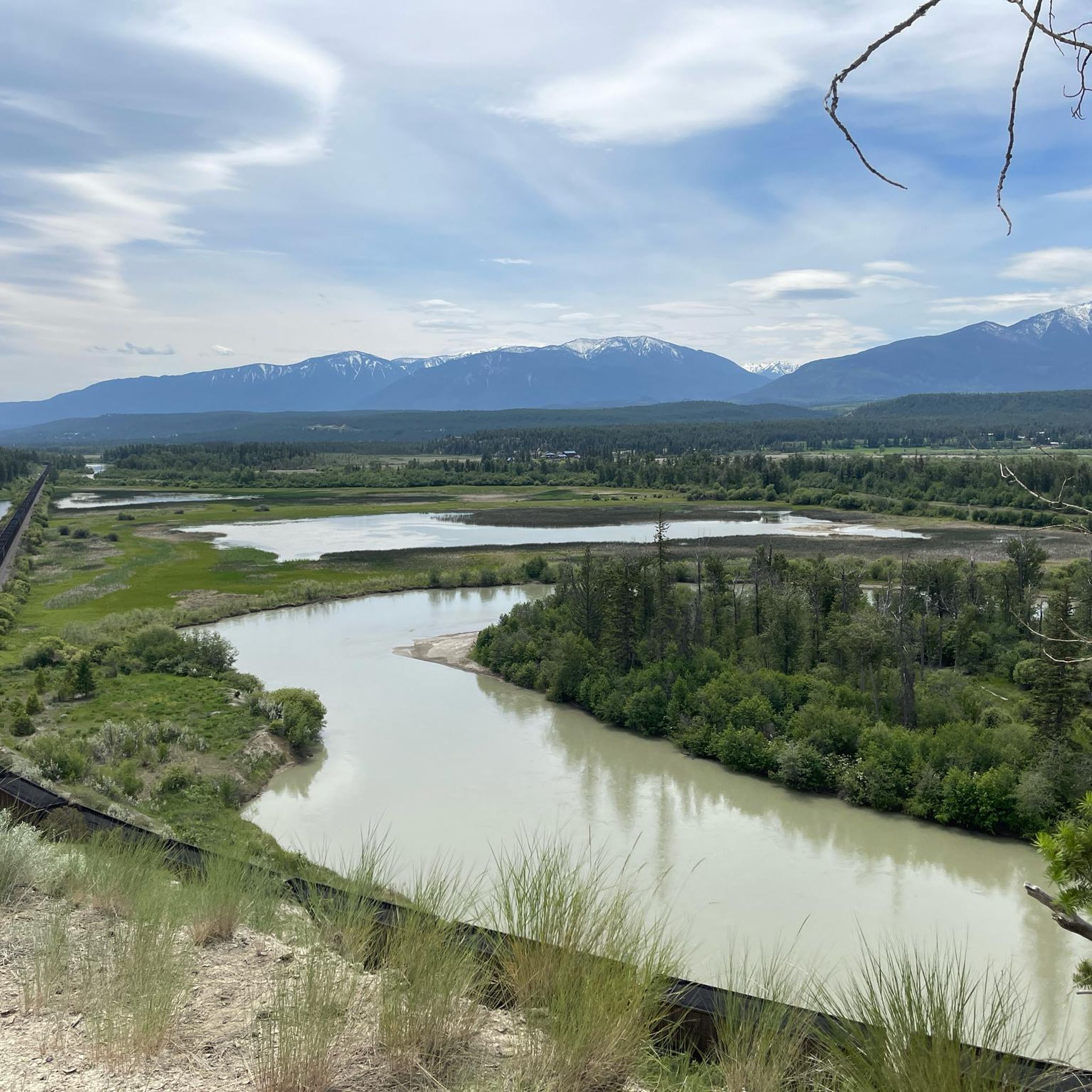
On a trail with many great viewpoints, this is one of the best. If the weather is clear you'll have a wide open look across the river and valley to the mountains on the other side.
0
0

It really feels like a fairy tale here.
4
0

This easy out-and-back trail leads to a viewpoint overlooking the expansive Columbia Wetlands — one of North America’s largest intact wetlands. Along the route you’ll pass forested sections and open ridge spots where you can pause and watch for birds, wildlife and sweeping valley views.
0
0
Lake Louise Village offers amenities like restaurants, grocery stores, and lodging. It's also just a short ride to the shoreline of the iconic Lake Louise.
0
0

This road is going to Moraine lake only open for Tourist Bus & cyclists. (Information from tourist center) For more tips & tricks join our adventure on YouTube & Instagram @lebruitdugravier.
0
0
Frequently Asked Questions
How many touring cycling routes are available in Area G (Forster Creek/Mount Assiniboine)?
There are over 10 touring cycling routes in Area G (Forster Creek/Mount Assiniboine), offering a variety of experiences for different skill levels. The region features routes through provincial parks, along river valleys, and with mountainous backdrops.
Are there easy touring cycling routes suitable for beginners or families in Area G?
Yes, Area G offers easy touring cycling routes perfect for beginners or families. For instance, the River's Edge View loop from Yearling Creek is an easy 8.3-mile (13.4 km) path with minimal elevation gain, providing a pleasant ride through the landscape.
What kind of challenging touring cycling routes can I find near Mount Assiniboine?
For experienced touring cyclists seeking a challenge, Area G provides several difficult routes. The Moraine Lake Road – Moraine Lake loop from Danger is a demanding 48.5-mile (78.1 km) route with significant elevation gain, offering stunning views around Moraine Lake.
Are there circular touring cycling routes in Area G (Forster Creek/Mount Assiniboine)?
Yes, many touring cycling routes in Area G are circular, allowing you to start and end at the same point. An example is the Bike loop from James Chabot Provincial Park, a moderate 12.2-mile (19.6 km) trail through parkland.
What are some notable landmarks or attractions I can see while cycling in Area G?
While cycling in Area G, you can explore various natural and historical landmarks. Highlights include the iconic Moraine Lake, known for its vibrant blue waters, and the unique Paint Pots, a natural monument. You might also encounter scenic viewpoints like View of Lake Louise from the Big Beehive.
What is the best time of year to go touring cycling in Area G (Forster Creek/Mount Assiniboine)?
The best time for touring cycling in Area G is typically from late spring to early autumn (May to October). During these months, the weather is generally milder, and most trails are free of snow, offering optimal conditions for exploring the mountainous backdrops and lake views.
What kind of wildlife might I encounter on the touring cycling trails?
Area G (Forster Creek/Mount Assiniboine) is rich in wildlife. Cyclists might spot various bird species, deer, and smaller mammals. In more remote areas, there's a possibility of seeing larger animals like elk or even bears, so it's always advisable to be aware of your surroundings and carry bear spray if venturing into wilderness areas.
Are there places to park my car near the touring cycling routes?
Yes, many touring cycling routes in Area G (Forster Creek/Mount Assiniboine) have designated parking areas, especially near provincial parks like James Chabot Provincial Park and Dry Gulch Provincial Park, which serve as common starting points for tours.
Are permits required for touring cycling on trails around Mount Assiniboine?
While many trails in Area G (Forster Creek/Mount Assiniboine) do not require specific cycling permits, some areas, particularly within national parks or protected zones, might have entry fees or require backcountry permits. It's always recommended to check with the local park authorities for the most current regulations before your trip.
What do other touring cyclists enjoy most about cycling in Area G?
The komoot community highly rates touring cycling in Area G (Forster Creek/Mount Assiniboine), with an average score of 5.0 stars. Reviewers often praise the diverse landscapes, from challenging mountain ascents to serene parkland trails, and the stunning views of lakes and river valleys.
Are there any moderate touring cycling routes in Area G?
Yes, Area G offers several moderate touring cycling routes that provide a good balance of challenge and accessibility. The Deja View Trail – View of Columbia Valley loop from Dry Gulch Provincial Park is a moderate 7.7-mile (12.5 km) route, offering scenic views without extreme difficulty.
Can I find cafes or pubs near the touring cycling trails in Area G?
While Area G (Forster Creek/Mount Assiniboine) is known for its natural beauty, you can find amenities in nearby towns and communities. Many routes start or pass close to areas where cafes, pubs, and restaurants are available for refreshments and meals after your ride.
Most popular routes around Area G (Forster Creek/Mount Assiniboine)
Most popular attractions around Area G (Forster Creek/Mount Assiniboine)

Get inspired with the komoot mobile app


Explore more
Browse the best Cycling routes in other regions.
