The best mountain hikes around Entraunes
5.0
(4)
14
hikers
3
hikes
Mountaineering around Entraunes offers access to the mountain landscapes of the Mercantour National Park, characterized by rugged peaks, high-altitude lakes, and Alpine meadows. The region features significant mountain passes like the Col de la Cayolle and the Col de la Bonette. The source of the Var river and numerous icy torrents wind through larch groves, contributing to the diverse environment for mountaineering.
Best mountaineering routes around Entraunes
- The most popular mountaineering route is Lac d'Allos Refuge – Lake Allos loop from Lac d'Allos, a 4.6 miles (7.3 km) trail that takes 2 hours 10 minutes to complete, offering views of the high-altitude Lac d'Allos.
- Another top favourite among local mountaineers is Lake Allos – Lac d'Allos Refuge loop from Parking de La Chaup, a moderate 8.8 miles (14.2 km) path. This route traverses varied terrain around the iconic Lake Allos.
- Local mountaineers also love the Col de la Petite Cayolle – Lake Allos loop from Lac d'Allos, a 7.9 miles (12.7 km) trail leading through mountain passes and high-altitude scenery, often completed in about 4 hours 42 minutes.
- Mountaineering around Entraunes is defined by rugged peaks, high-altitude lakes, and Alpine meadows. The network offers options for different ability levels, from moderate ascents to more difficult, longer routes.
- The routes in Entraunes are highly rated by the komoot community with an average score of 5.0 stars from over 4 reviews. More than 10 mountaineers have used komoot to explore Entraunes's varied terrain.
Last updated: May 13, 2026
5.0
(4)
7
hikers
7.34km
02:10
210m
210m
Moderate mountaineering route. Good fitness required. Easily-accessible paths. Suitable for all skill levels.
4
hikers
14.2km
04:32
590m
590m
Moderate mountaineering route. Good fitness required. Easily-accessible paths. Suitable for all skill levels.

Sign up for free
3
hikers
12.8km
04:43
700m
700m
Hard mountaineering route. Good fitness required. Sure-footedness, sturdy shoes and alpine experience required.
Our route recommendations are based on thousands of hikes, rides, and runs completed by other people on komoot.
Start today with a free account
Your next adventure awaits.
Login or Signup
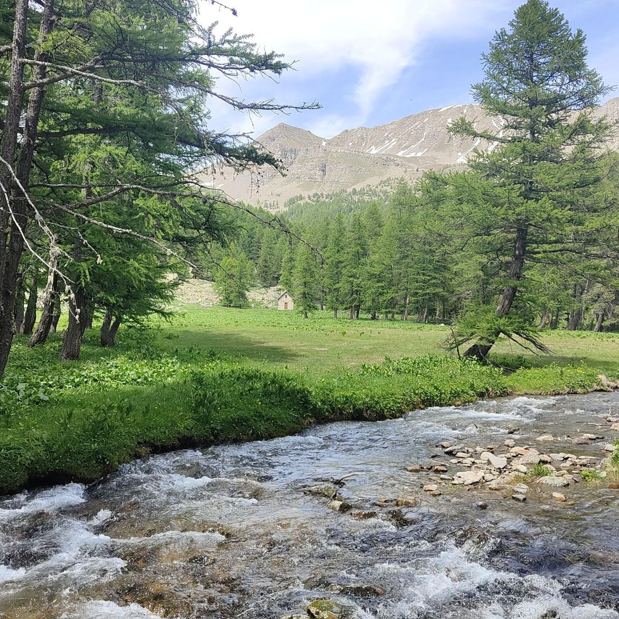
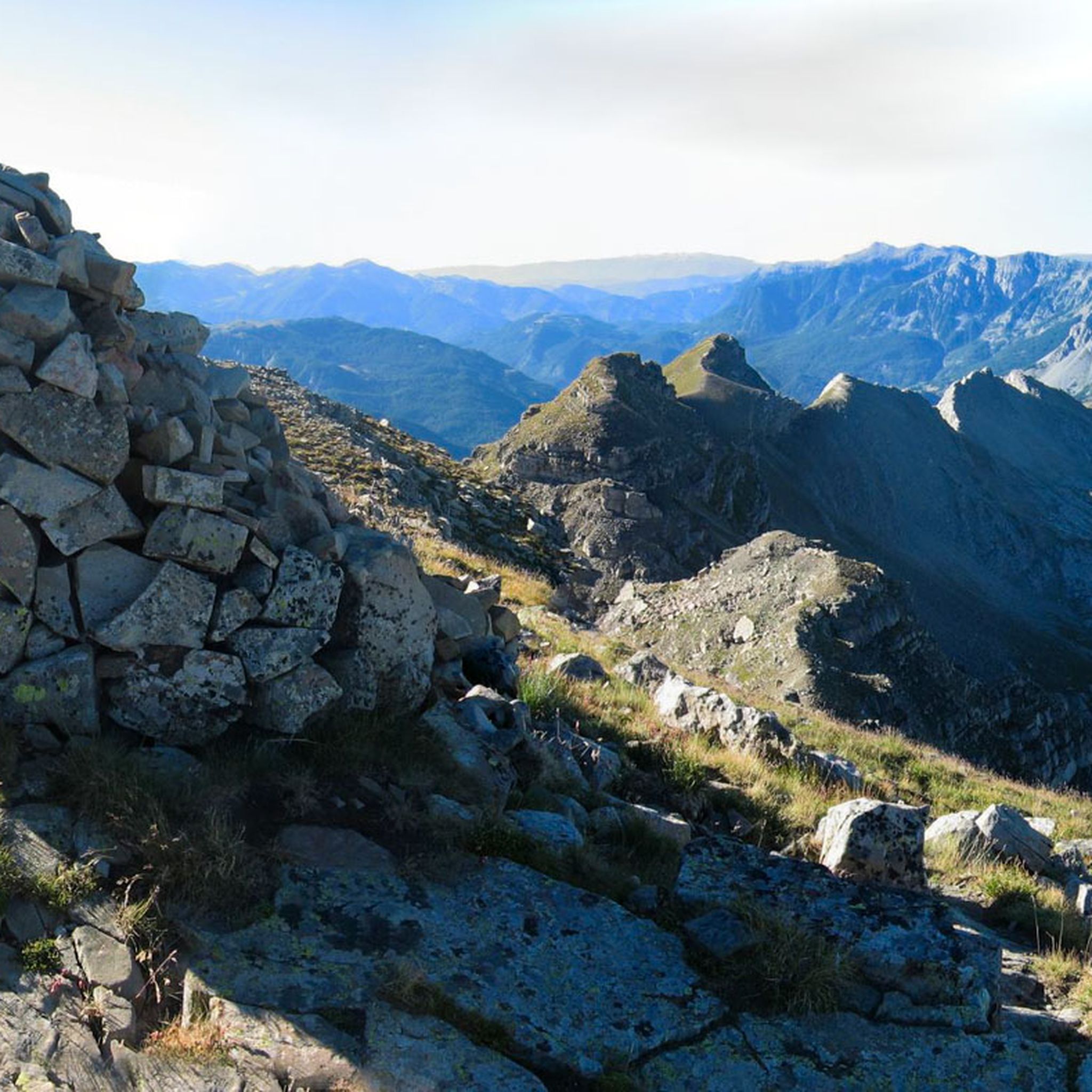
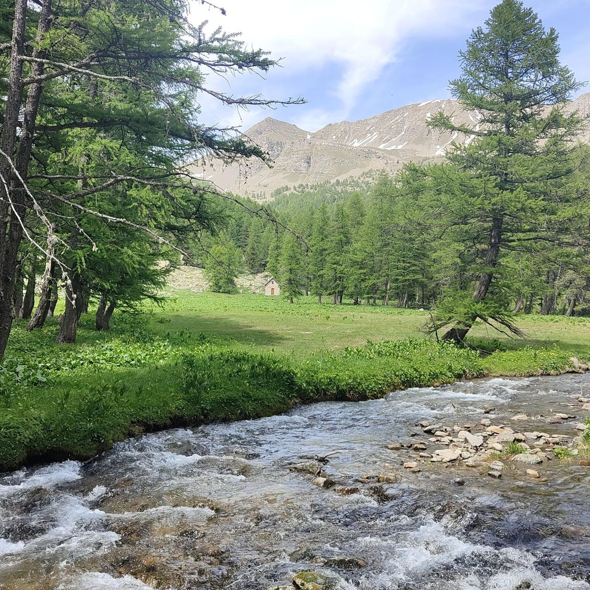
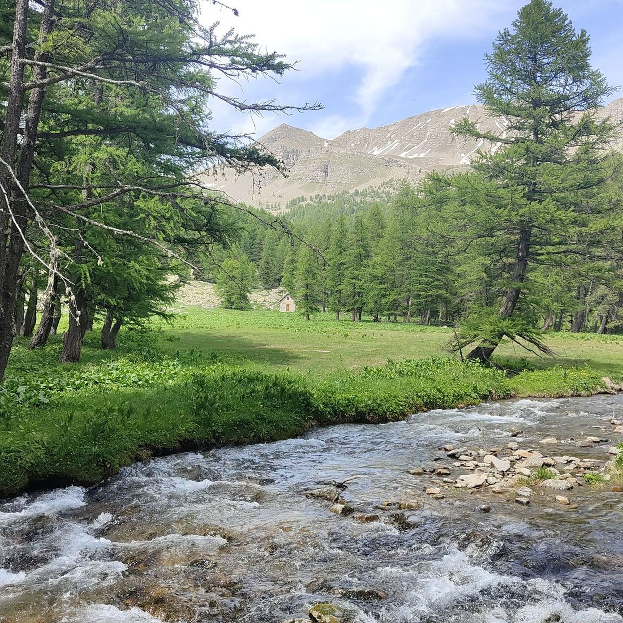


Tips from the Community

Lovely place to eat, drink or spend the night.
1
0

The refuge offers a single dish at lunchtime, from 12:00 to 1:30 p.m. Moreover, its drinks menu is quite extensive and its blueberry tarts are delicious. The staff is very pleasant. Be careful, the refuge closes on September 15 and does not offer the possibility of taking refuge there in winter even without guarding…
1
0

Passage with a magnificent view of Lake Allos and arrival at the top of Pas du Lausson at 2602 m to enjoy a stunning view of the massifs. Continue towards the Col de la Petite Cayole or under a ravine (somewhat narrow and high road) you will successively discover two lakes with transparent and green water. Descent towards Lake Allos.
1
0
Surrounded by a rocky cirque, the lake offers a sumptuous panorama. The route ascends to 2,675 meters of altitude. Although it does not present major difficulties, it is essential to be well equipped and check the weather forecast.
1
0
Surrounded by a rocky cirque, the lake offers a sumptuous panorama. The route ascends to 2,675 meters of altitude. Although it does not present major difficulties, it is essential to be well equipped and check the weather forecast.
1
0

On a great circular route from Col der la Cayole you will pass this lake
1
0
The area around the Lac d'Alos is terrific
2
0
Frequently Asked Questions
How challenging are the mountaineering routes around Entraunes?
Mountaineering around Entraunes offers a range of difficulties. You'll find routes like the Lac d'Allos Refuge – Lake Allos loop from Lac d'Allos, which is considered moderate, covering 4.6 miles (7.3 km). For those seeking a more demanding experience, the Col de la Petite Cayolle – Lake Allos loop from Lac d'Allos is rated as difficult, spanning 7.9 miles (12.7 km) with significant elevation gain.
Are there any circular mountaineering routes in the Entraunes area?
Yes, several circular routes are available, allowing you to start and finish at the same point. Examples include the Lac d'Allos Refuge – Lake Allos loop from Lac d'Allos and the Lake Allos – Lac d'Allos Refuge loop from Parking de La Chaup. These routes offer varied terrain and stunning views as you complete your circuit.
What kind of wildlife can I expect to see while mountaineering in Entraunes?
The Entraunes region, being part of the Mercantour National Park, is rich in biodiversity. Keep an eye out for chamois, ibex, and marmots in the higher altitudes. Birdwatchers might spot golden eagles or bearded vultures soaring above the peaks. The Alpine meadows also host a variety of unique flora.
Are there any specific permits required for mountaineering in the Mercantour National Park?
Generally, no specific permits are required for hiking or mountaineering on marked trails within the Mercantour National Park. However, it's crucial to respect park regulations, which include rules against wild camping, lighting fires, and disturbing wildlife. Always check the official Mercantour National Park website for the most current regulations before your trip.
When is the best time of year for mountaineering around Entraunes?
The best time for mountaineering in Entraunes is typically from late spring to early autumn (June to September). During these months, the snow has usually melted from the higher passes, and the weather is generally more stable. Alpine meadows are in full bloom in summer, offering spectacular scenery. Always check local weather forecasts before heading out.
What notable landmarks or attractions can I see along the mountaineering routes?
The routes often lead to or pass by significant natural and historical landmarks. You can explore the iconic Lake Allos, one of Europe's largest natural high-altitude lakes. Other points of interest include the Cayolle Pass and the Bonette Summit, offering panoramic views. The Camp des Fourches military camp also provides a glimpse into the region's history.
Are there options for family-friendly mountaineering in Entraunes?
While many routes involve significant elevation, some sections or shorter loops can be suitable for families with older children who are accustomed to hiking. The Lac d'Allos Refuge – Lake Allos loop from Lac d'Allos, for example, is a moderate 4.6-mile trail that offers beautiful scenery without extreme difficulty, making it a good option for a family outing.
What do other mountaineers enjoy most about the routes in Entraunes?
The mountaineering routes in Entraunes are highly rated by the komoot community, with an average score of 5.0 stars. Reviewers often praise the stunning high-altitude lakes, the rugged beauty of the Mercantour National Park, and the sense of wilderness. The diverse terrain, from Alpine meadows to rocky passes, is also frequently highlighted.
Is parking available near the trailheads for mountaineering routes?
Yes, for popular starting points like the routes around Lake Allos, there are designated parking areas. For instance, the Lake Allos – Lac d'Allos Refuge loop specifically mentions starting from 'Parking de La Chaup', indicating availability. It's always advisable to arrive early during peak season as spaces can fill up.
Can I find facilities like cafes or refuges along the mountaineering trails?
Yes, particularly around popular areas like Lake Allos. The Lac d'Allos Refuge – Lake Allos loop implies the presence of a refuge, which often provides basic services like food, drink, and accommodation. These refuges are excellent spots to rest and refuel during your mountaineering adventure.
How many mountaineering routes are available to explore around Entraunes?
There are several dedicated mountaineering routes around Entraunes, with a total of 3 featured in this guide. These routes offer a good representation of the diverse landscapes and challenges available in the region, ranging from moderate to difficult.
Most popular attractions around Entraunes

Get inspired with the komoot mobile app


Explore more
Browse the best Mountain Hikes & Routes in other regions.
