The best gravel rides around Verrès
4.6
(10)
43
riders
11
rides
Gravel biking around Verrès offers diverse landscapes within Italy's Aosta Valley, characterized by dramatic mountain views, wooded slopes, and steep rocky ridges. The region features a mix of unpaved roads, forest tracks, and ancient irrigation channels, locally known as "ru." Riders can explore wild landscapes and white roads winding through vineyards and forests, with the Dora Baltea River flowing nearby. This area provides an authentic mountainous experience for gravel cyclists.
Best gravel bike trails around Verrès
- The most popular gravel…
Last updated: July 20, 2026
23.0km
04:40
1,920m
110m
Hard gravel ride. Very good fitness required. You may need to push your bike for some segments of this route.
5.0
(1)
1
riders
25.0km
02:25
830m
830m
Hard gravel ride. Very good fitness required. Mostly paved surfaces. Suitable for all skill levels.

Sign up for free
1
riders
16.1km
01:25
430m
430m
Moderate gravel ride. Good fitness required. Mostly paved surfaces. Suitable for all skill levels.
5.0
(1)
21
riders
32.8km
03:36
1,430m
1,430m
Hard gravel ride. Very good fitness required. Mostly paved surfaces. Suitable for all skill levels.
4.8
(8)
8
riders
51.7km
04:40
2,080m
2,080m
Hard gravel ride. Very good fitness required. Mostly paved surfaces. Suitable for all skill levels.
Get access to more routes and recommendations from other explorers.
Sign up for free
Already have an account?
Our route recommendations are based on thousands of hikes, rides, and runs completed by other people on komoot.
Start today with a free account
Your next adventure awaits.
Login or Signup
Popular around Verrès

Cammino Balteo – castles, vineyards and trails of the Aosta Valley
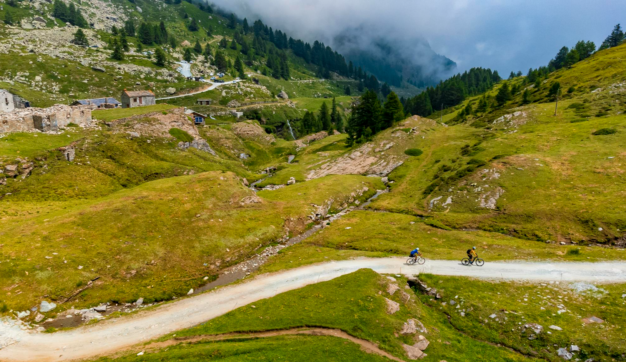
Must-do gravel routes in the Aosta Valley – the heart of the Italian Alps

Paths, castles and views of Italy’s Aosta Valley – Cammino Balteo
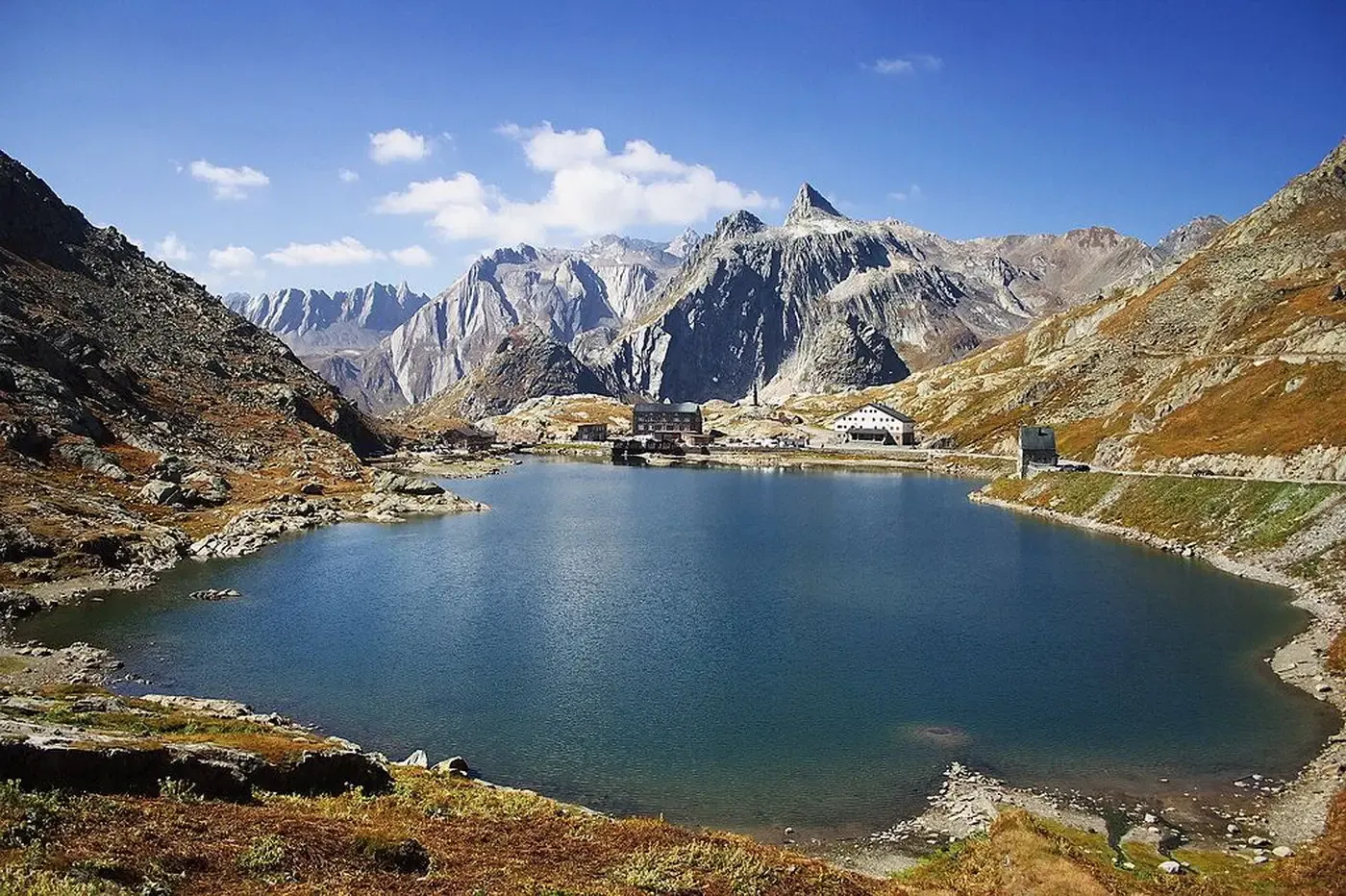
A cycling pilgrimage — history and nature on Italy’s Via Francigena
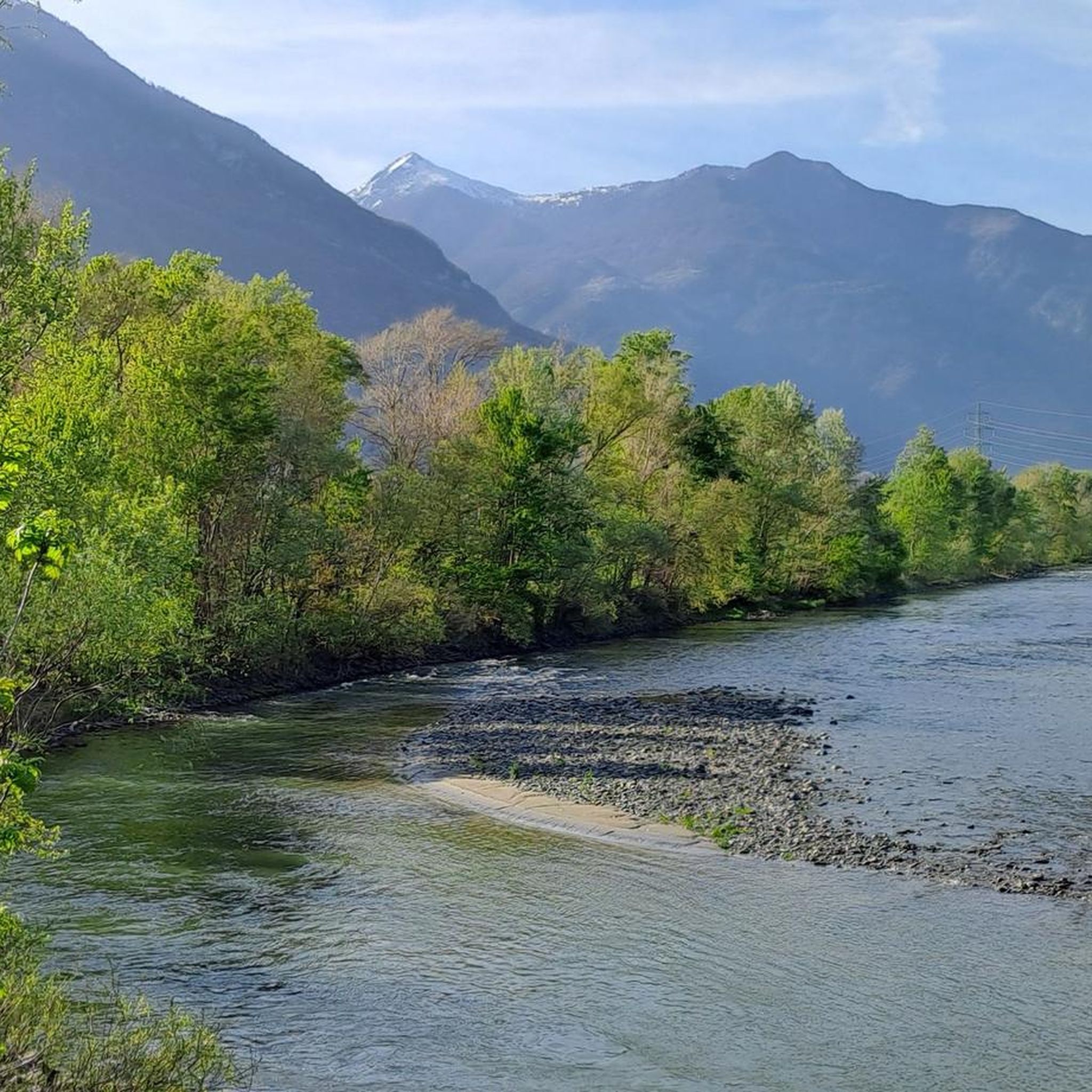
Road Cycling Routes around Verrès
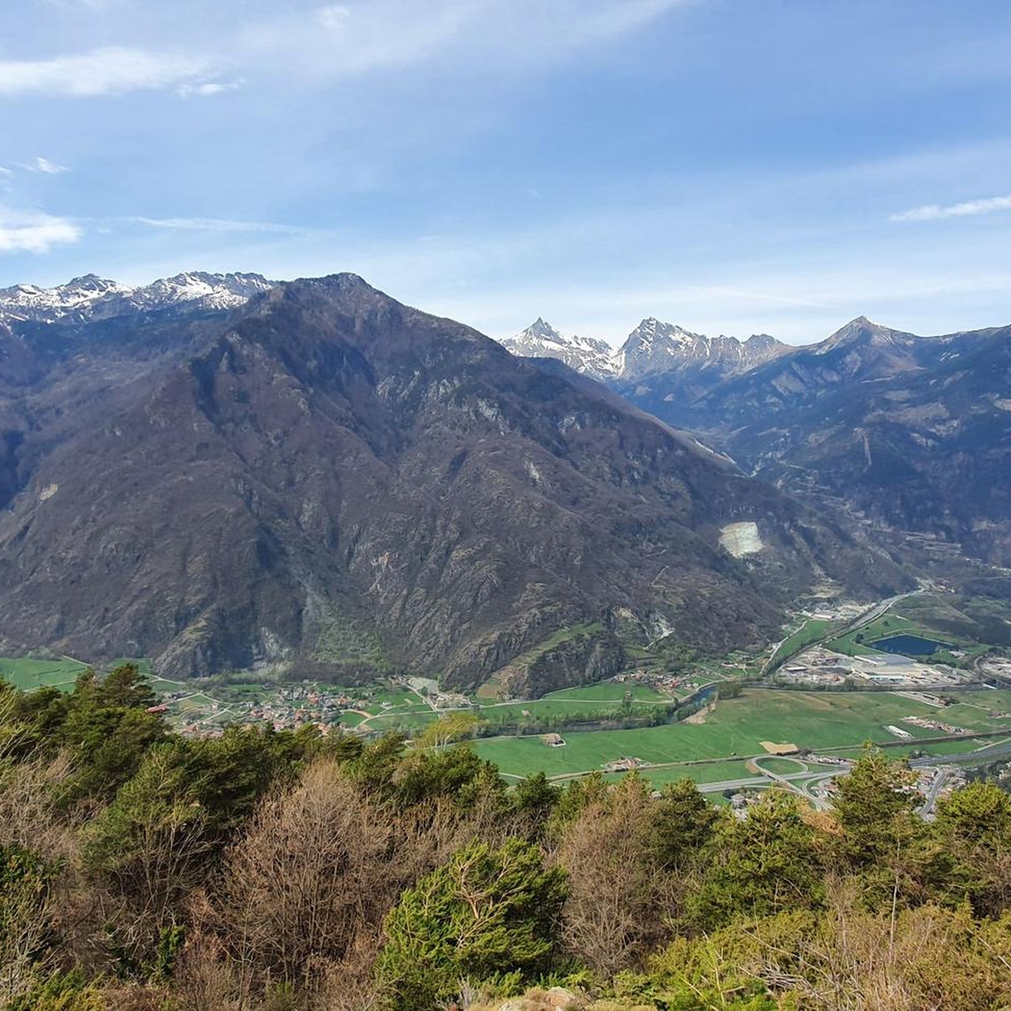
Hiking around Verrès
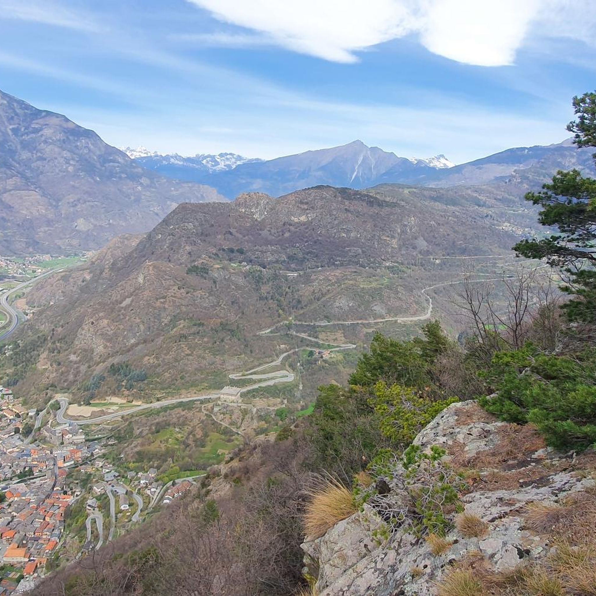
Cycling around Verrès
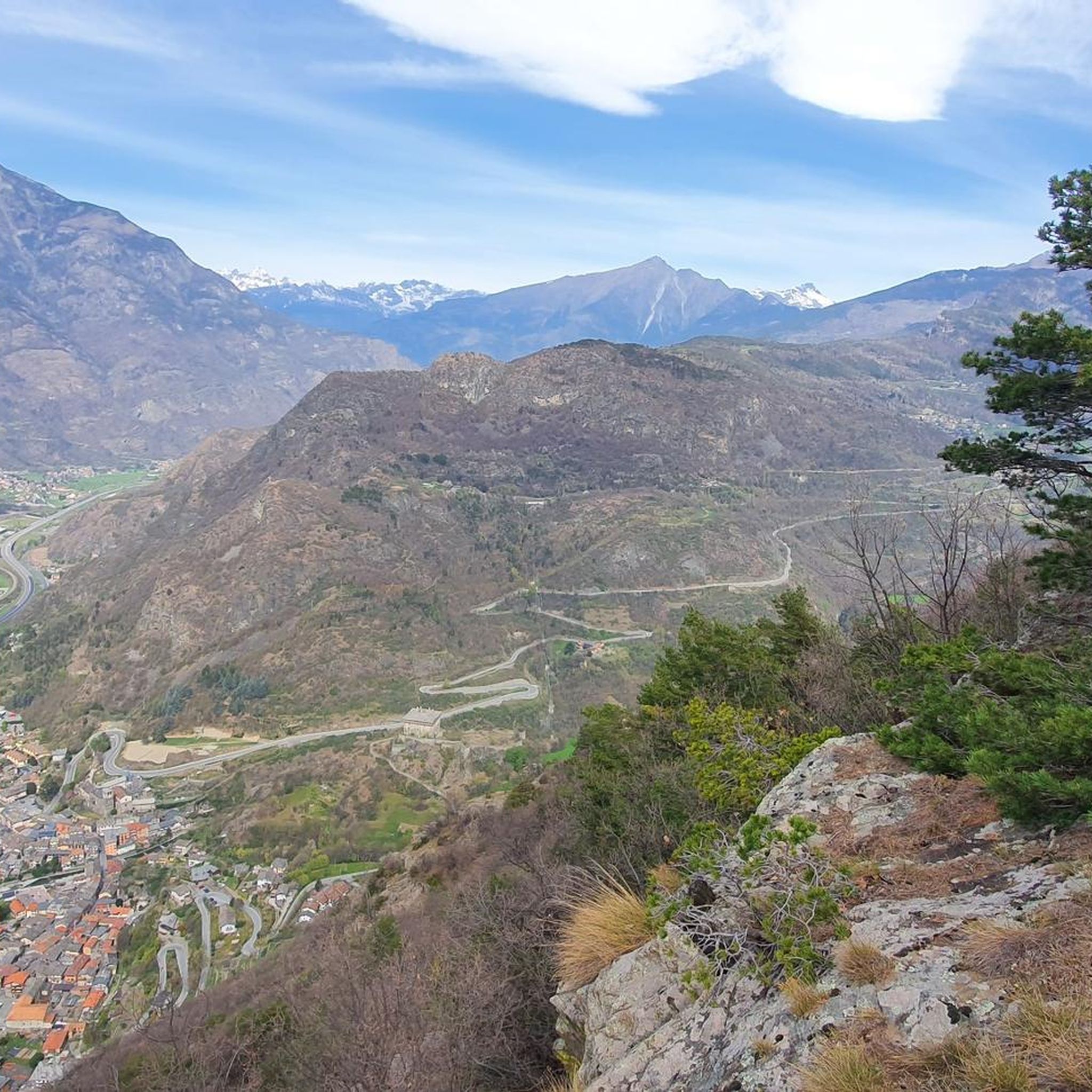
Running Trails around Verrès
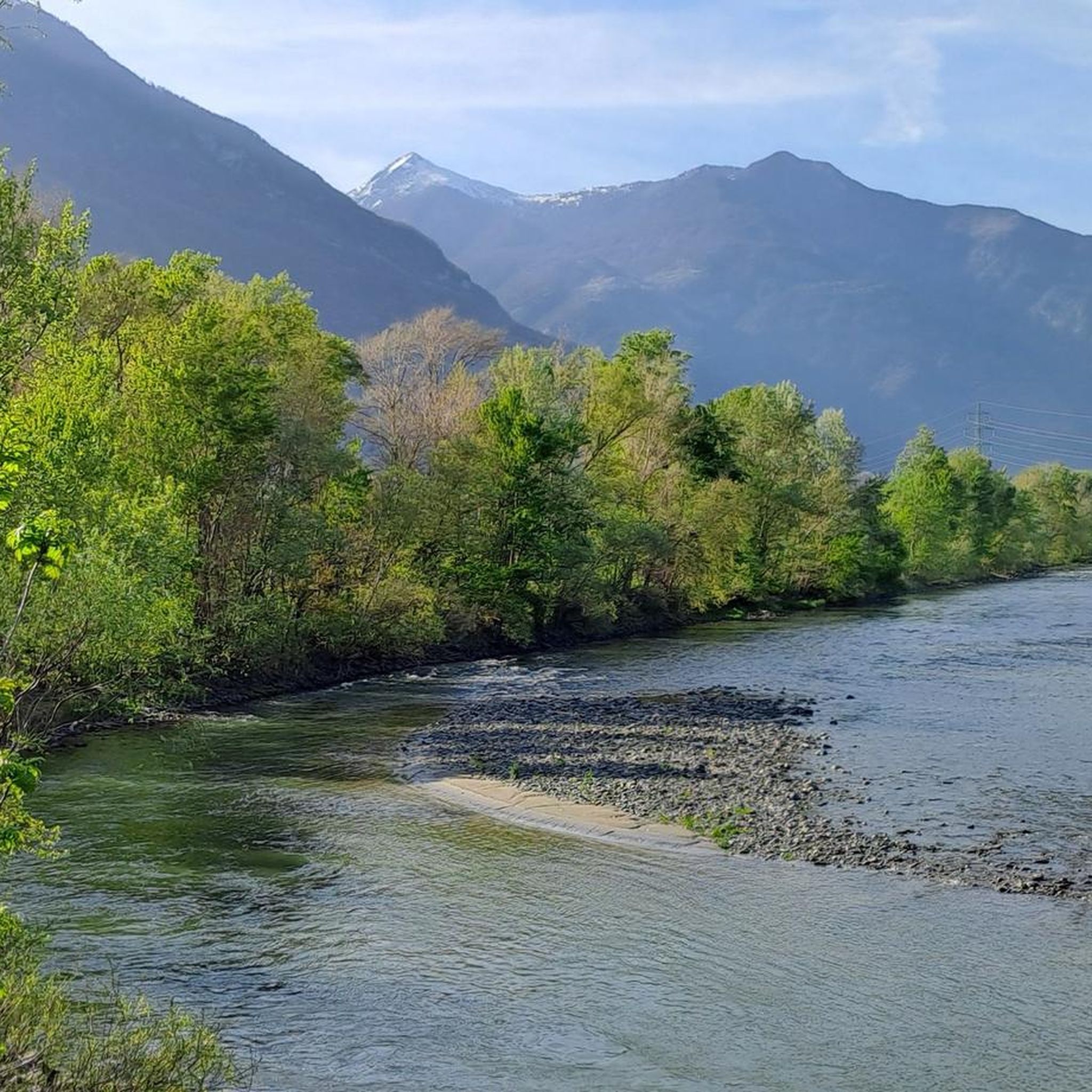
MTB Trails around Verrès
Other adventures around Verrès


Tips from the Community


The stone bridge of Lillianes, completed in 1733, represents a hydraulic work of exceptional value for the Lys Valley, being the only historic bridge in the region structured on four round arches. The choice of this configuration, supported by robust piers equipped with cut-water spurs, was dictated by the need to span a section of the Lys stream particularly subject to violent floods. The roadway, made with a characteristic donkey-back shape in local stone, hosts a votive shrine dedicated to Saint Roch in the center, historically placed to protect travelers against pestilences. A relevant anecdote concerns the complex financing of the work: the local community, in order not to depend exclusively on central subsidies, chose to heavily tax themselves through the "taglioni" system, a form of mandatory contribution based on land ownership. It is said that the families of the village contributed not only with money but also by providing labor and materials, as the bridge was considered vital for the economy linked to the chestnut trade and transhumance. Another curious detail concerns its incredible resistance: during past floods, while other wooden or lighter structures were swept away, the bridge of Lillianes remained intact, consolidating its fame as an indestructible monument and a symbol of unity for the entire valley population.
0
0

In this stretch, the Via Francigena follows the ancient Roman route of the Via delle Gallie, where the paving retains the ruts of millennia-old carts. Connecting Augusta Prætoria to the Alpine passes, this strategic road shaped the landscape with rest stops and villages, some of whose names still indicate the distance in miles from the city. Traveling it today means experiencing a direct connection between the spiritual journey of medieval pilgrims and the engineering of the Romans.
0
0
Saint-Germain Castle (or Montjovet Castle), of uncertain origins, marked the history of the Aosta Valley, passing from the Savoy to the Challant family, before finally returning to the Savoy in 1438. Used as a military garrison by Amadeus VIII, it was abandoned in 1661 when the garrison was transferred to the Bard Fort. Completing the site is the Church of Saint-Germain: a small Romanesque building that, through frescoes and architectural details, preserves the spiritual memory of the local community.
1
0
The hamlet of Le Bourg can be easily reached by bicycle, passing under the highway overpass. The village is worth a visit for its characteristic keeled-arch windows, frescoes, and ancient signs that tell the story of the town. Also not to be missed is the church of San Rocco, perched on a rocky outcrop and offering a panoramic view of the valley.
2
0
The Arlaz Waterfall can be reached either from the Col d'Arlaz or from the Orbeillaz car park, following path number 31 which runs alongside the Rû d’Arlaz, a 14th-century artificial canal that channels the water of the Evançon stream and carries it to the municipalities of Challand, Emarese and Montjovet.
0
0
From this point, you can enjoy a splendid view of Verrès Castle, an imposing 14th-century medieval fortress that dominates the valley and adds a fascinating historical touch to the surrounding landscape. Built by the Challant family for defensive and residential purposes, it is today one of the best-preserved medieval castles in the region.
2
0
The Champrocher Royal Road is a charming historical route commissioned in the 18th century by the House of Savoy. It connected the valley floor with the hunting lodges, facilitating the travel of the nobility and their entourage. Today, it is a beautiful path immersed in greenery, with stone sections and splendid panoramic views of the valley.
2
0
Frequently Asked Questions
How many gravel bike trails are available around Verrès?
There are 15 gravel bike trails around Verrès, offering a variety of experiences for cyclists. The komoot community has highly rated these routes, with an average score of 4.9 stars from over 10 reviews.
What is the best time of year for gravel biking in Verrès?
Gravel biking in the Verrès region is best enjoyed from late spring to autumn. During these months, the weather is most favorable for exploring the diverse landscapes, white roads, and forest tracks.
Are there any easy or moderate gravel bike routes in Verrès for beginners or families?
While many routes in Verrès are challenging, there is at least one moderate option suitable for those looking for a less strenuous ride. The Fort Bard – Fort Bard loop from Bard is a 35.9 km route with 308 meters of climbing, offering a scenic ride through the Aosta Valley.
What kind of landscapes can I expect to see on gravel bike trails around Verrès?
The Verrès region offers a rich tapestry of landscapes. You'll encounter dramatic mountain views, wooded slopes, steep rocky ridges, and white roads winding through vineyards and forests. The routes also traverse ancient irrigation channels, known locally as 'ru', and follow the Dora Baltea River.
Are there any circular gravel bike routes in the Verrès area?
Yes, many of the gravel bike routes around Verrès are designed as loops. For example, you can explore the challenging Rifugio Dondena – Lago Miserin loop from Champorcher or the moderate Fort Bard – Fort Bard loop from Bard, both offering a complete circular experience.
What historical attractions can I visit along the gravel bike routes near Verrès?
The Verrès area is rich in history. You can encounter impressive fortifications like Verrès Castle, a majestic 14th-century fortress, and the formidable Fort Bard. Other notable castles in the region include Issogne Castle and the iconic Fénis Castle, which you can explore on routes like the Dora Baltea Cycle Path – Fénis Castle loop from Toffo.
Are there any natural attractions or viewpoints accessible from the gravel trails?
Absolutely. The region boasts breathtaking natural beauty. You can find stunning viewpoints like the View from Colle du Lac Blanc. Additionally, you might encounter beautiful lakes such as Lake Muffé and Lake Ville, and even the Arlaz Waterfall.
What do other gravel bikers enjoy most about the Verrès trails?
The komoot community highly rates the gravel biking experience in Verrès, with an average score of 4.9 stars. Reviewers often praise the wild landscapes, the silence and sense of freedom, and the diverse terrain that ranges from challenging mountain paths to scenic routes through vineyards and forests.
Are there any particularly challenging gravel routes for experienced riders?
Yes, Verrès offers several demanding routes for experienced gravel bikers. The Rifugio Dondena – Lago Miserin loop from Champorcher is a 27.9 km trail with almost 1,200 meters of elevation gain, and the View of Donnas – Pont-Saint-Martin loop from Donnas covers 66.8 km with over 2,300 meters of climbing, both offering significant challenges.
Can I reach the gravel biking areas around Verrès using public transport?
Verrès is located in the Aosta Valley, which has some public transport options. For specific routes, it's advisable to check local bus or train schedules to see if they connect to the starting points of the trails. For more general information about the region, you can visit Italia.it.
Are there places to explore or relax after a ride in Verrès?
Verrès itself has a charming medieval center with narrow streets, stone houses, and arcaded walkways, perfect for exploring. You can also find local cafes and restaurants to relax and refuel after your ride. The town's strategic location at the entrance to the Ayas Valley also makes it a great base for further exploration.
Most popular attractions around Verrès

Get inspired with the komoot mobile app


Explore more
Browse the best Gravel rides in other regions.
