The best waterfall hikes and walks around Süntel
4.6
(5133)
17,395
hikers
17
hikes
Waterfall hiking trails around Süntel traverse a diverse landscape within the German Central Uplands, characterized by varied topography and unique geological formations. The region features mixed woods, primarily beech, alongside limestone cliffs and picturesque valleys such as Höllengrund and Schneegrund. Elevations reach around 400 meters, offering both gently rising areas and steeper paths for hikers.
Best waterfall hiking trails around Süntel
- The most popular waterfall hiking route is Höllenbachtal Forest Path – View of the Schneegrund Valley loop from Schillat-Höhle…
Last updated: July 5, 2026
4.7
(140)
611
hikers
10.6km
03:02
240m
240m
Moderate hike. Good fitness required. Easily-accessible paths. Suitable for all skill levels.
4.8
(96)
235
hikers
15.0km
04:15
330m
330m
Moderate hike. Good fitness required. Easily-accessible paths. Suitable for all skill levels.

Sign up for free
4.7
(30)
113
hikers
17.4km
05:03
430m
430m
Hard hike. Very good fitness required. Mostly accessible paths. Sure-footedness required.
4.9
(30)
100
hikers
17.5km
04:59
400m
400m
Moderate hike. Good fitness required. Mostly accessible paths. Sure-footedness required.
4.5
(19)
67
hikers
4.06km
01:07
70m
70m
Easy hike. Great for any fitness level. Easily-accessible paths. Suitable for all skill levels.
Get access to more routes and recommendations from other explorers.
Sign up for free
Already have an account?
Our route recommendations are based on thousands of hikes, rides, and runs completed by other people on komoot.
Start today with a free account
Your next adventure awaits.
Login or Signup
Popular around Süntel

The National Natural Landscapes in Niedersachsen
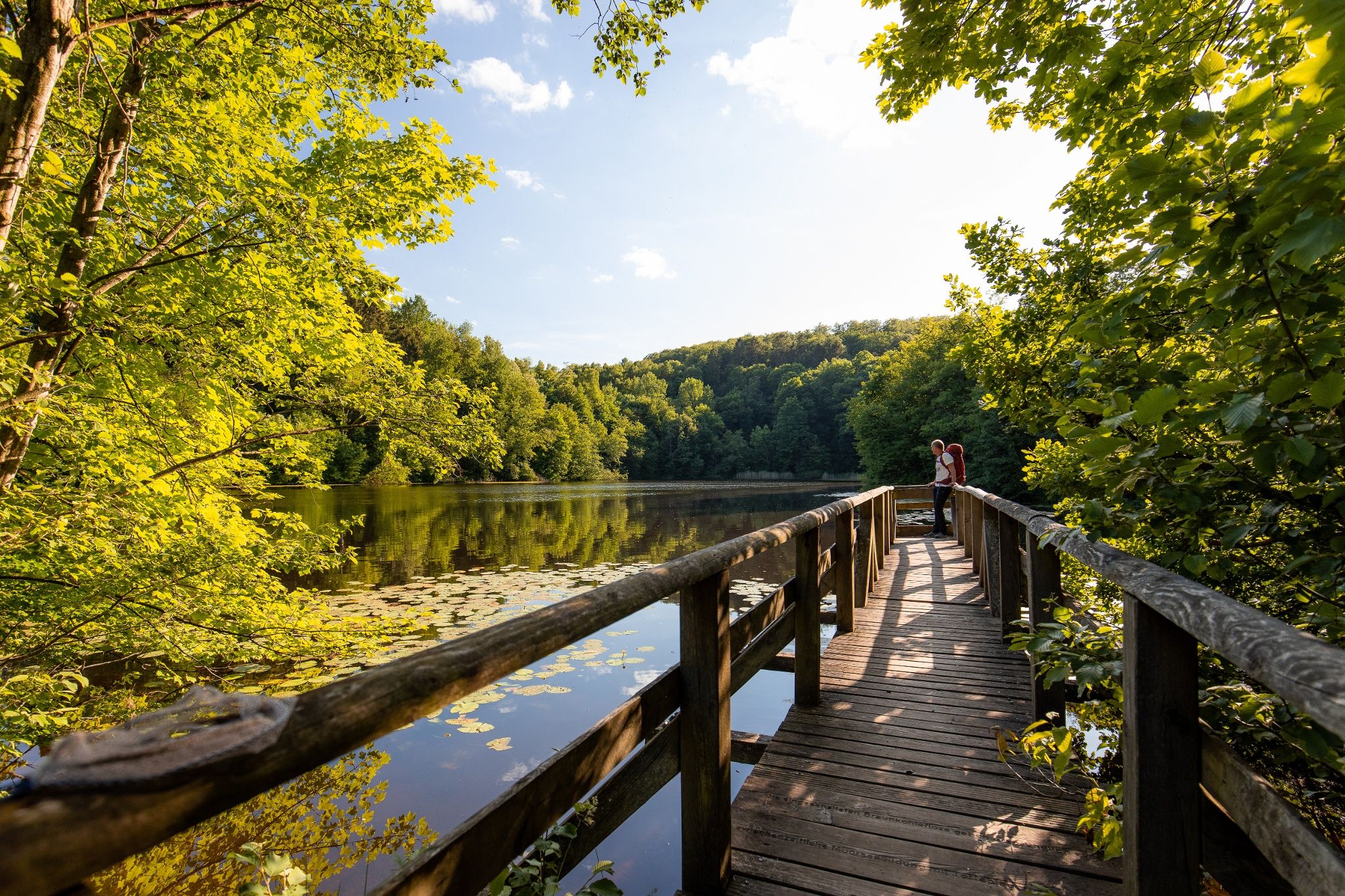
Time in the countryside – recharge your batteries in the Weserbergland
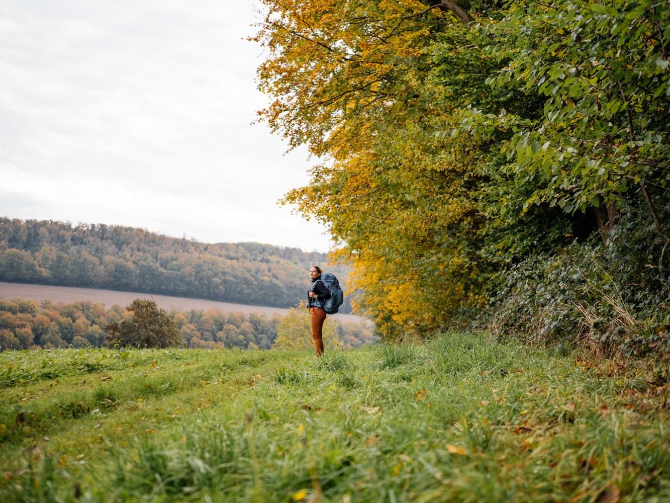
Weser Uplands Trail in autumn – out and about with Fräulein Draußen
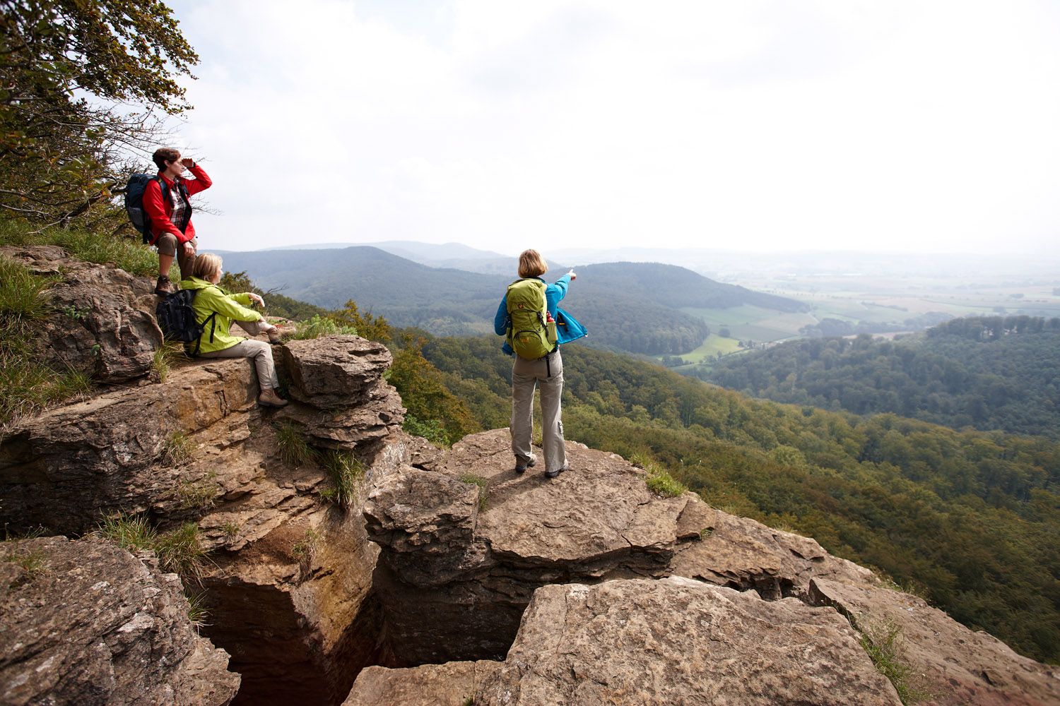
Weser Uplands Extreme – hiking for true adventurers
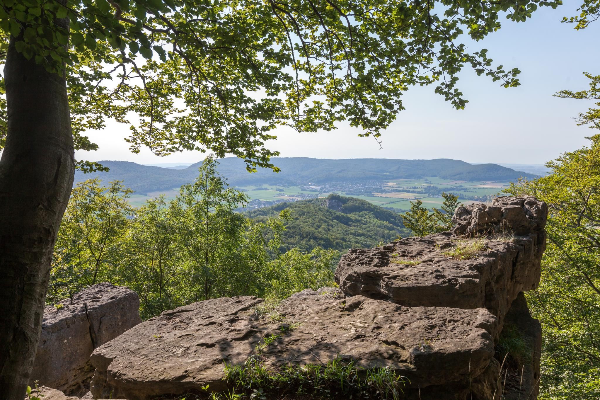
High up on cliffs and viewpoints in the Weserbergland region
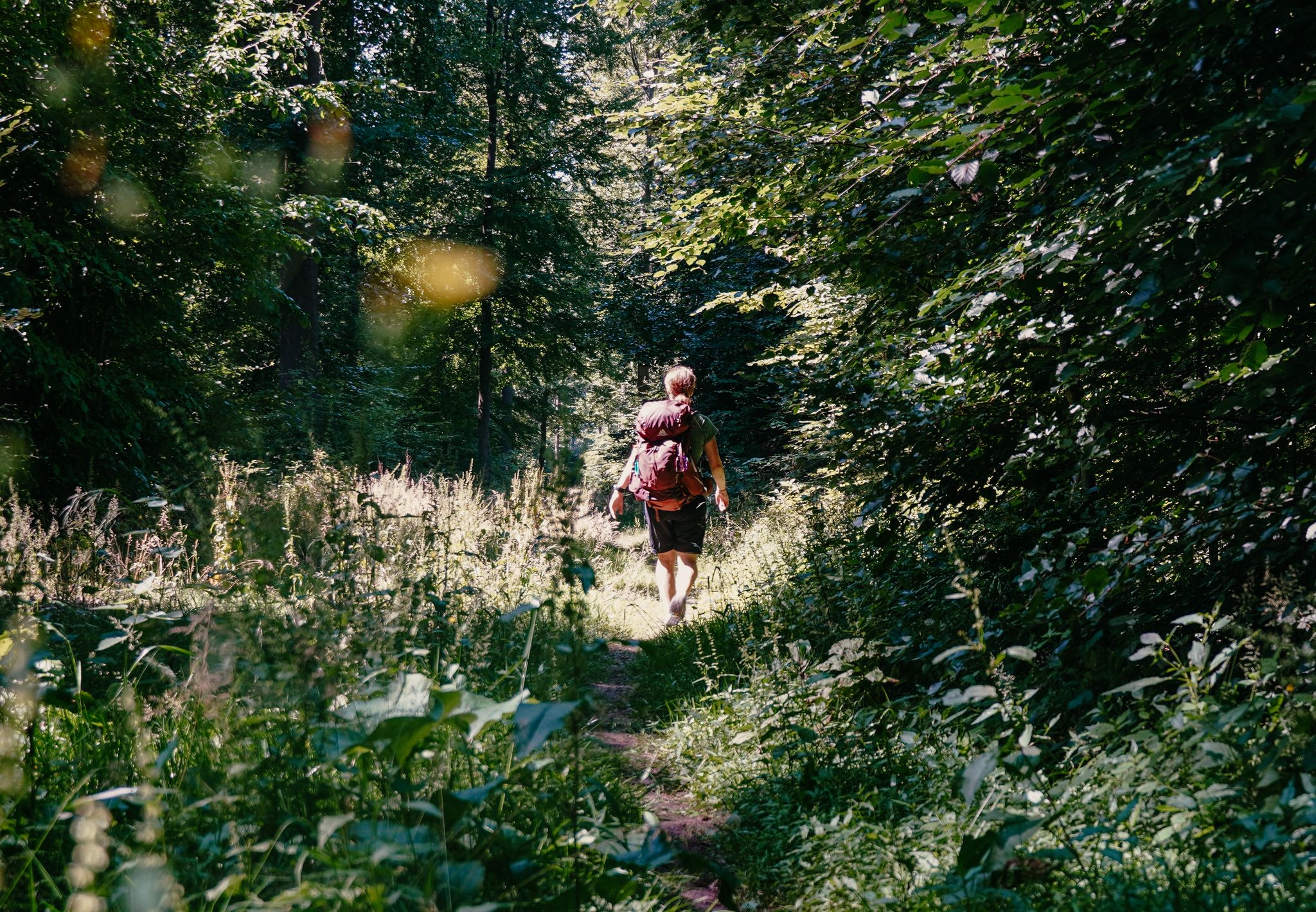
Experience nature with all your senses in the Weserbergland
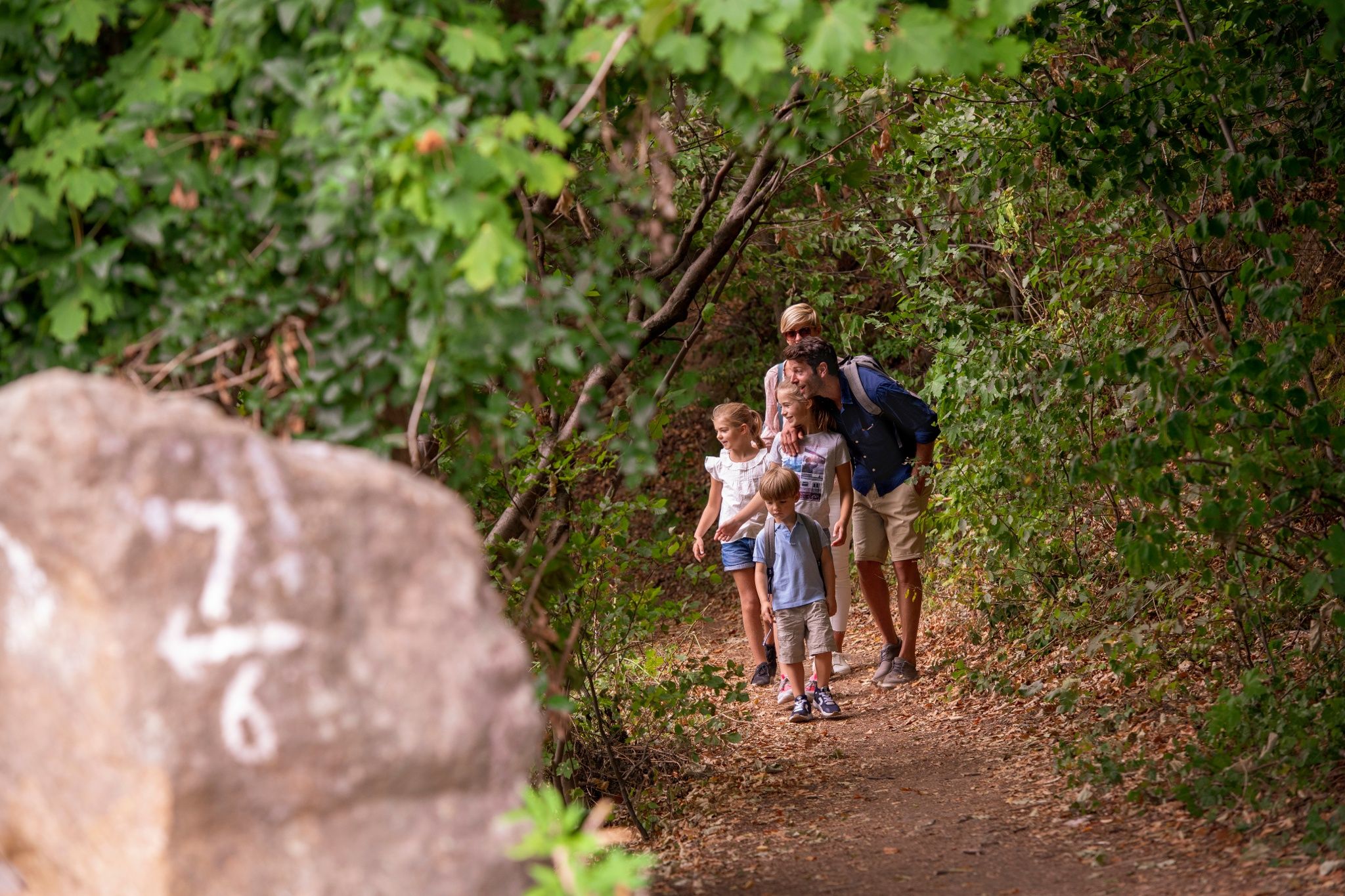
Castles and miners – hike through history in the Weserbergland region
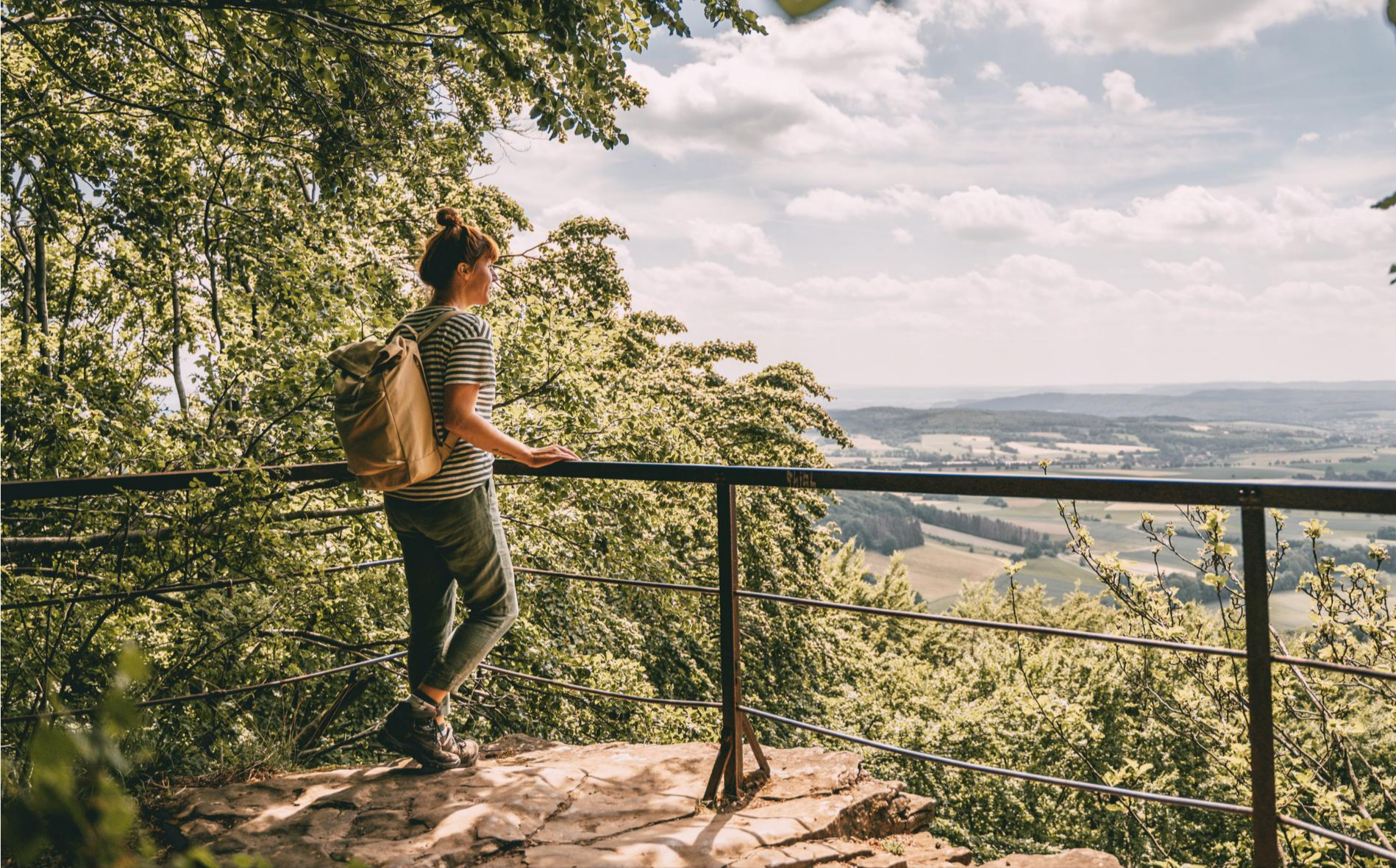
Fabulously scenic – hiking Germany’s Weserbergland Trail
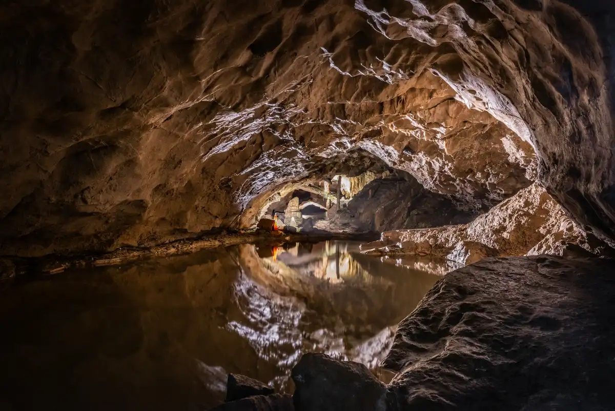
Stalactite caves – magical worlds beneath the surface
Other adventures around Süntel


Tips from the Community

With a bit of climbing, you can even get directly to the waterfall, which could be really nice on hot summer days when water is flowing down.
0
0

The Langenfeld hiking parking area is a central and easily accessible starting point for hikes in the Süntel hills, uniquely connecting open countryside with the transition to the dense forests of this low mountain range. Situated on the edge of the Süntel, it offers convenient access to a diverse network of trails, making it a popular starting point for short strolls as well as extended day hikes. From here, the trails lead into tranquil woodlands with ancient beech trees, as well as up to striking hilltops and viewpoints. The interplay of open meadows, field edges, and shady forest paths is what makes many hikes from Langenfeld so appealing. This contrast is precisely what highlights the scenic diversity of the Süntel and ensures varied hiking experiences in every season.
1
0

The Schneegrund near Hessisch Oldendorf is a tranquil, impressive nature reserve that opens like a hidden valley nestled among ancient deciduous forests. A narrow path accompanies the clear stream as it winds its way through damp ravines and along mossy rocks. Especially in spring, a delicate display of blossoms unfolds, including snowdrops and wood anemones, covering the forest floor like a pale blanket. The approximately 7.7-kilometer-long Schneegrund route leads past steep slopes, shady sections of forest, and even a small waterfall near Langenfeld, showcasing the many facets of this landscape. Hikers here experience a harmonious interplay of water, forest, and rock that is both calming and invigorating.
0
0

Beautiful path through a beautiful beech forest.
0
0

Beautiful hiking trail through the Höllenbach valley and above the cliffs.
0
0
Beautiful ravine at the beginning of the hike!
0
0

The quarry is very impressive. It is part of the cave tour.
0
0
Highlight??? Not really. You can't get close. A small trickle that's barely visible.
1
0
Frequently Asked Questions
How many waterfall hiking trails are there in Süntel?
Süntel offers a good selection of routes specifically focused on waterfalls. You can find over 18 waterfall hiking trails in the region, catering to various preferences and fitness levels.
What are the most notable waterfalls in the Süntel region?
Süntel is home to Lower Saxony's two highest natural waterfalls, located at the Höllenmühle near Langenfeld in the rocky Höllengrund valley. The Langenfelder waterfall, cascading 15 meters, is a particularly impressive sight. Many trails, such as the Höllenbachtal Forest Path – Höllenbach Valley loop from Langenfeld, explore this area.
What kind of terrain can I expect on waterfall hikes in Süntel?
The terrain in Süntel is quite varied, ranging from gently rising paths to steeper sections. You'll traverse dense mixed woods, primarily beech, and encounter dramatic limestone cliffs, especially around the Hohenstein plateau. Valleys like Höllengrund and Schneegrund also define the landscape, offering diverse walking experiences. Routes can range from moderate to difficult, with elevation gains up to around 400 meters.
Are there family-friendly waterfall hikes in Süntel?
Yes, Süntel offers several easier routes suitable for families. While specific 'family-friendly' designations aren't always explicit, many of the 5 easy trails available are manageable for those with children. It's always a good idea to check the distance and elevation profile of a specific route before heading out with younger hikers.
Can I bring my dog on the waterfall trails in Süntel?
Generally, dogs are welcome on hiking trails in Süntel. The region's extensive mixed woods and valleys provide a great environment for walks with your canine companion. However, always keep your dog on a leash, especially in nature reserve areas or near wildlife, and be mindful of other hikers. Ensure you carry water for your dog, particularly on longer routes.
What other attractions or viewpoints can I visit near the waterfall trails?
Beyond the waterfalls, Süntel offers several interesting sights. You can explore the dramatic Hohenstein Cliffs and Scenic Viewpoint, which provides expansive views over the Weser valley. The Höllenmühle and Pond is another picturesque spot. For those interested in geology, the Totental (Valley of the Dead) offers unique formations. The Höllenbach Valley – View of Schaumburg Castle loop from Hohenstein is a longer route that combines waterfall areas with scenic views.
When is the best time of year to experience the waterfalls in Süntel?
The waterfalls in Süntel are most impressive after periods of significant rainfall, typically in spring during snowmelt or after heavy summer/autumn rains. During drier periods, especially in late summer, the water flow might be reduced. Spring also brings lush greenery, while autumn offers vibrant foliage, making both seasons excellent for scenic hikes.
Are there circular routes available for waterfall hikes in Süntel?
Yes, many of the waterfall trails in Süntel are designed as circular routes, allowing you to start and end at the same point. For example, the Höllenbachtal Forest Path – View of the Schneegrund Valley loop from Schillat-Höhle is a popular circular option, as is the Höllenmühle and Pond – Schneegrund Nature Reserve loop from Schillat-Höhle.
How can I get to the starting points of these waterfall hikes by public transport?
While Süntel is primarily accessed by car, some villages bordering the massif, such as Langenfeld or Rohden, may have limited bus connections. It's advisable to check local bus schedules for routes connecting to larger towns like Hessisch Oldendorf or Hamelin, and then plan your hike from there. Public transport options might require some planning and potentially longer walks to reach specific trailheads.
Where can I park my car for waterfall hikes in Süntel?
Parking is generally available at the starting points of many popular trails. Look for designated parking areas in villages like Langenfeld, Rohden, or near attractions such as the Schillat Caves or Hohenstein. These spots often serve as convenient access points for the Höllenbach Valley and its waterfalls.
What do other hikers say about the waterfall trails in Süntel?
The waterfall trails and the broader Süntel region are highly regarded by the komoot community, with an average rating of 4.6 stars from over 4,200 reviews. Hikers often praise the diverse landscapes, the tranquility of the mixed woods, and the unique geological features, including the impressive waterfalls and rock formations.
Are there any cafes or restaurants near the waterfall hiking areas?
Yes, you can find options for refreshments and meals in the villages surrounding Süntel, such as Langenfeld or Rohden. Additionally, the Süntelturm, a popular destination within the massif, features a hiking restaurant with outdoor seating, offering a convenient stop for hikers. It's a good idea to check opening hours, especially during off-peak seasons.
What is the longest waterfall hike available in Süntel?
One of the longer and more challenging waterfall-focused routes is the Höllenbach Valley – View of Schaumburg Castle loop from Hohenstein. This difficult trail covers approximately 28.3 kilometers (17.6 miles) and involves significant elevation changes, typically taking around 8 hours to complete.
Most popular routes around Süntel
Most popular attractions around Süntel

Get inspired with the komoot mobile app


Explore more
Browse the best Hikes in other regions.
