The best running trails around Süntel
4.9
(55)
193
runners
22
runs
Jogging around Süntel offers a diverse landscape within the German Central Uplands, characterized by mixed forests and varied topography. The region features both gently rising areas and steeper paths, providing a range of challenges for runners. Notable geological formations like the Hohenstein Plateau, with its impressive rock faces, and picturesque valleys such as Höllengrund and Schneegrund, define the terrain. This blend of shaded forest trails, open meadows, and scenic viewpoints makes Süntel a compelling destination for running.
Best jogging routes…
Last updated: July 5, 2026
5.0
(2)
17
runners
4.43km
00:28
40m
40m
Easy run. Great for any fitness level. Mostly paved surfaces. Suitable for all skill levels.
5.0
(1)
17
runners
6.82km
00:43
80m
80m
Moderate run. Good fitness required. Mostly paved surfaces. Suitable for all skill levels.

Sign up for free
5.0
(1)
14
runners
19.8km
02:08
290m
290m
Hard run. Very good fitness required. Sure-footedness, sturdy shoes and alpine experience required.
5.0
(2)
17
runners
Moderate run. Good fitness required. Mostly paved surfaces. Suitable for all skill levels.
5
runners
Moderate run. Good fitness required. Mostly accessible paths. Some sure footedness required.
Get access to more routes and recommendations from other explorers.
Sign up for free
Already have an account?
Our route recommendations are based on thousands of hikes, rides, and runs completed by other people on komoot.
Start today with a free account
Your next adventure awaits.
Login or Signup
Popular around Süntel
The National Natural Landscapes in Niedersachsen
Time in the countryside – recharge your batteries in the Weserbergland
Weser Uplands Trail in autumn – out and about with Fräulein Draußen
Weser Uplands Extreme – hiking for true adventurers
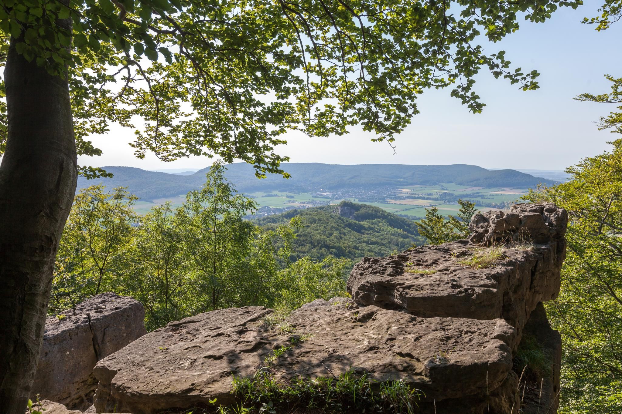
High up on cliffs and viewpoints in the Weserbergland region
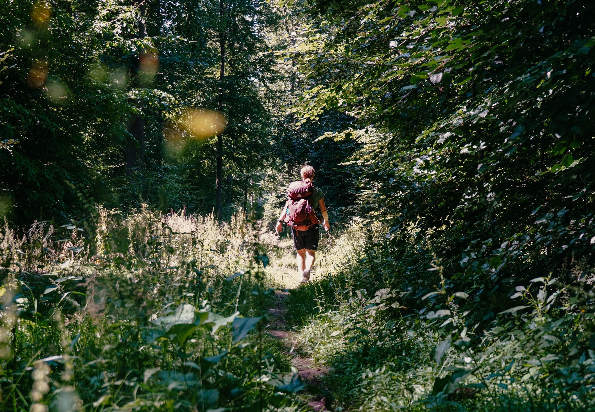
Experience nature with all your senses in the Weserbergland
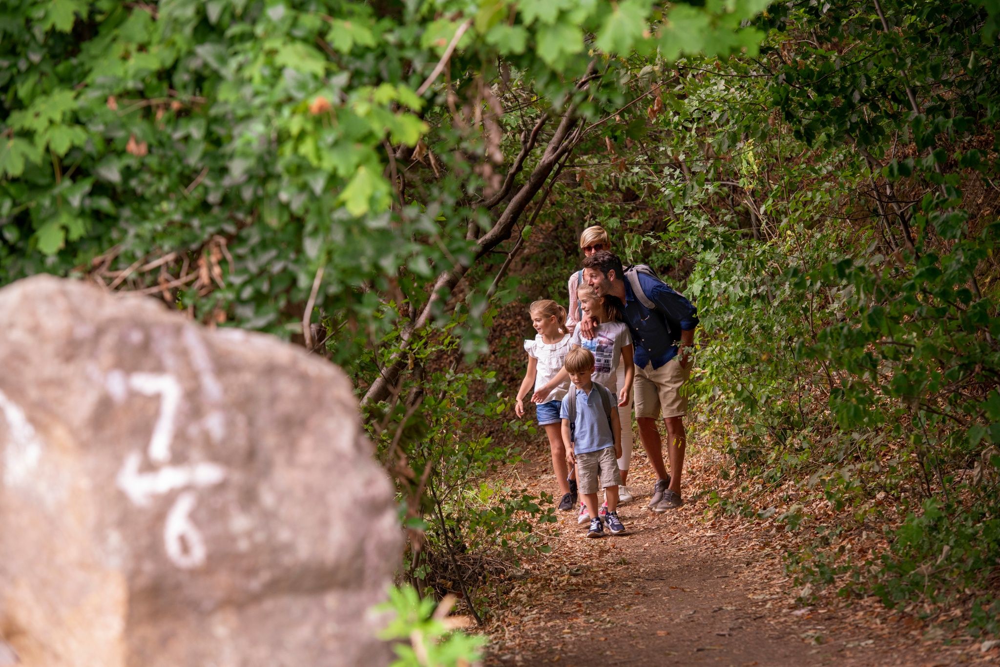
Castles and miners – hike through history in the Weserbergland region
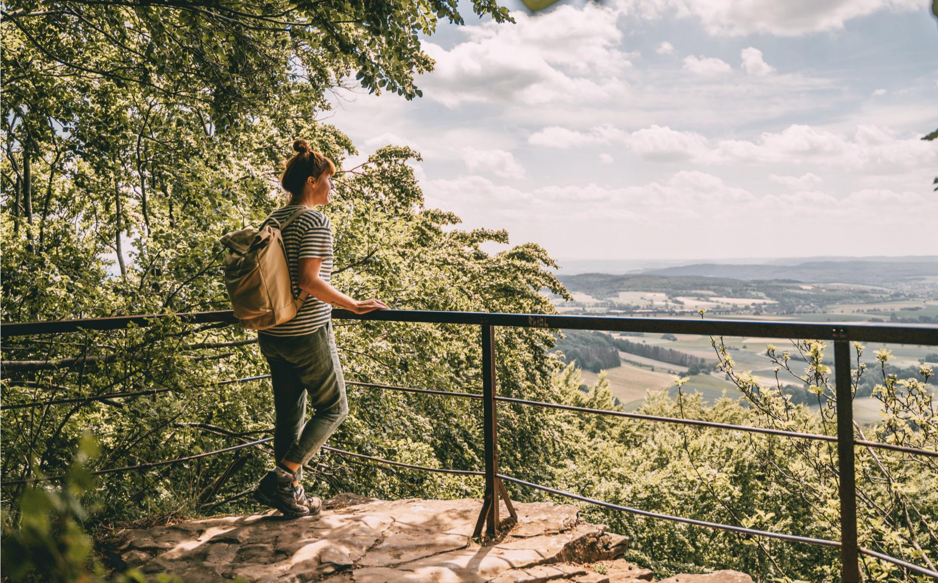
Fabulously scenic – hiking Germany’s Weserbergland Trail
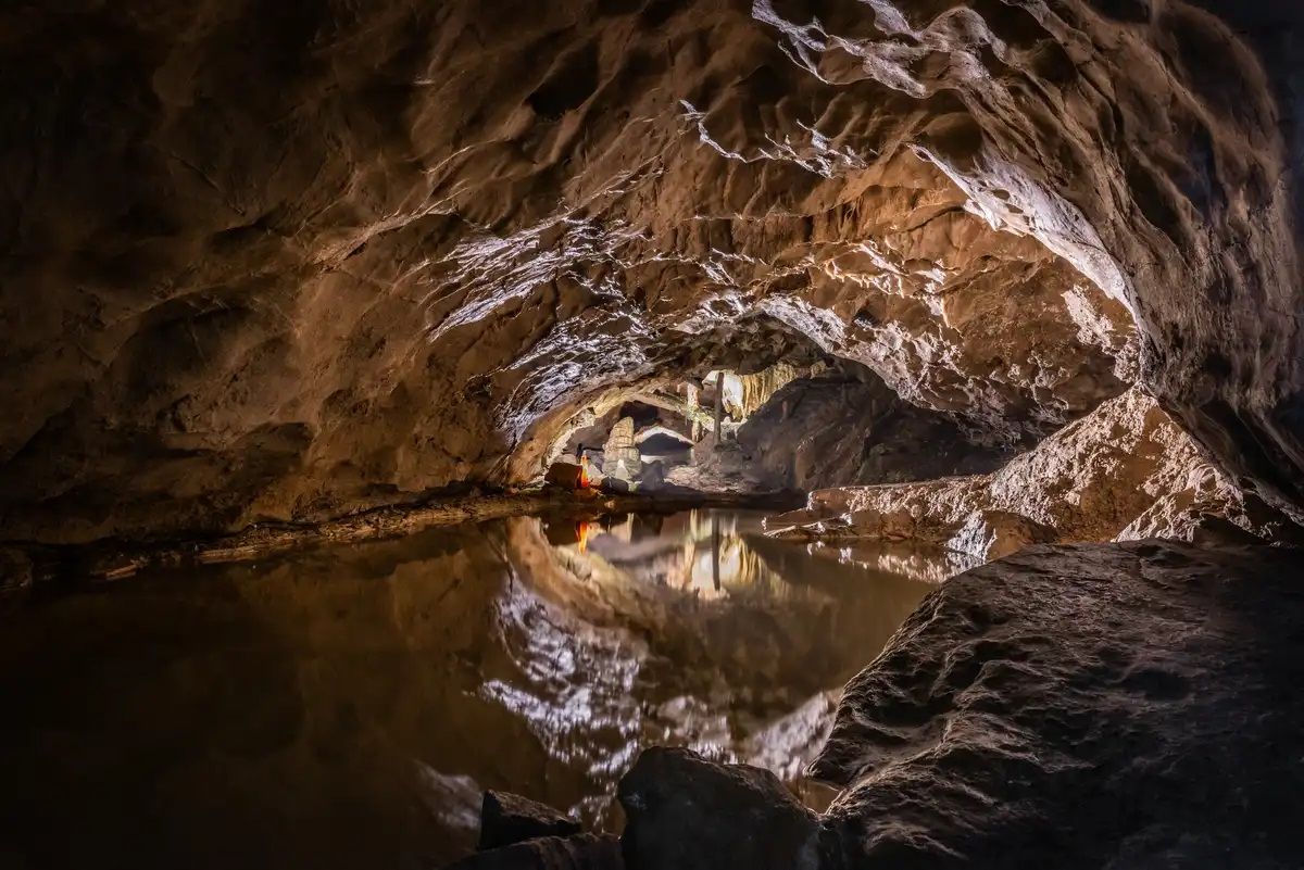
Stalactite caves – magical worlds beneath the surface
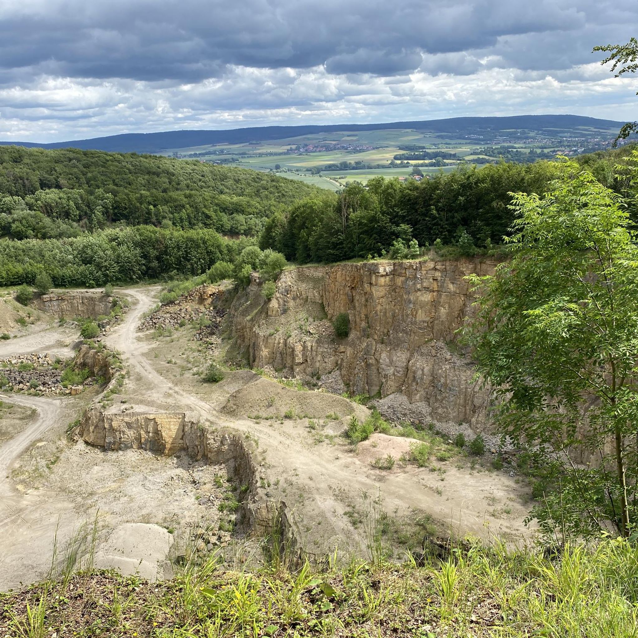
Hiking around Süntel
Other adventures around Süntel


Tips from the Community

The Schneegrund near Hessisch Oldendorf is a tranquil, impressive nature reserve that opens like a hidden valley nestled among ancient deciduous forests. A narrow path accompanies the clear stream as it winds its way through damp ravines and along mossy rocks. Especially in spring, a delicate display of blossoms unfolds, including snowdrops and wood anemones, covering the forest floor like a pale blanket. The approximately 7.7-kilometer-long Schneegrund route leads past steep slopes, shady sections of forest, and even a small waterfall near Langenfeld, showcasing the many facets of this landscape. Hikers here experience a harmonious interplay of water, forest, and rock that is both calming and invigorating.
0
0

The Hohenstein in the Süntel hills is a striking rock formation and one of the most popular viewpoints in the Weser Uplands. From the approximately 340-meter-high cliff, there is a sweeping view across the Weser Valley and the surrounding hills. The Hohenstein's rocks are made of sandstone and drop steeply southward into the valley. From the natural viewpoints, especially the so-called "pulpit," the course of the Weser River, which meanders through the landscape in wide bends, is clearly visible. The area is part of the Süntel Nature Reserve and provides habitat for numerous animal and plant species.
1
0

A girl fell into the depths here
0
0

The Teufelskanzel (Devil's Pulpit) is a striking vantage point in the Weser Mountains near Hessisch Oldendorf, about 16 kilometers northwest of Rinteln. It is located on the Hohenstein, a wooded plateau at an altitude of approximately 340 meters, and offers impressive views over the Weser Valley and the surrounding Weser Uplands. The Teufelskanzel rock formation is part of the Hohenstein cliffs, which are up to 40 meters high and also include the "Green Altar" and the "Hirschsprung" (Deer Leap). These cliffs drop steeply to the Weser River and are accessible via well-marked hiking trails. The ascent involves some steep steps and requires surefootedness. Once at the top, the view rewards the effort with a magnificent panorama. The region around the Teufelskanzel is rich in myths and legends. It is said that the devil once preached here, which gave the rock formation its name. Other points of interest are nearby, such as the "Green Altar," which is considered a historically significant site and may have once served as a sacrificial site. For hikers, there's a circular route that leads from Zersen through the Blutbach Valley up to Hohenstein. The route is approximately eight kilometers long and leads through diverse landscapes with deciduous forests and open rocks. There are several rest stops along the way, including the Baxmannbaude hut, which is a great place to stop for a break.
0
0

Beautiful ravine at the beginning of the hike!
0
0
The large car park is located at the former Berggasthof Bergschmiede mountain inn. It is a good starting point for all kinds of tours in the Süntel.
2
0
The traditional restaurant Bergschmiede has unfortunately also been closed since 2023.
3
0

Just behind the mountain forge towards Eulenflucht, someone has taken the trouble to conjure up a beautiful Christmas greeting on the side of the road 🤩(12/2024)
0
0
Frequently Asked Questions
How many running routes are available in Süntel?
Süntel offers a wide selection of running routes, with over 20 trails available on komoot. These routes cater to various fitness levels, from easy jogs to more challenging runs through the diverse landscape.
What kind of terrain can I expect on the running trails in Süntel?
The running trails in Süntel feature a diverse landscape, including mixed forests, predominantly beech, and varied topography. You'll encounter both gently rising areas and steeper paths, providing a mix of challenges. Many routes transition between open meadows, field edges, and shaded forest paths, offering a pleasant and varied running experience.
Are there any easy running routes suitable for beginners in Süntel?
Yes, Süntel has routes suitable for beginners. For an accessible run, consider the Running loop from Deckbergen, which is an easy 2.8-mile (4.4 km) trail. Overall, there are 2 easy routes available, perfect for those new to running or looking for a relaxed pace.
Can I find challenging running routes in Süntel?
Absolutely. For experienced runners seeking a challenge, Süntel offers several difficult routes. A notable option is the Green Altar Viewpoint – View from Hohenstein loop from Hamelspringe, a demanding 12.3-mile (19.8 km) path with significant elevation changes and rewarding views. There are 5 difficult routes in total for those looking to push their limits.
What natural features or landmarks can I see while running in Süntel?
Süntel's routes often pass by impressive natural features and viewpoints. You might encounter the dramatic rock faces of the Hohenstein Plateau, enjoy panoramic views from the Süntelturm, or discover the tranquil beauty of the Schneegrund Nature Reserve. The region is also home to unique Süntel Beeches, known for their twisted branches. For specific geological wonders, you can explore nearby caves like the Schillat Cave or the Oberberg Crevice.
Are there any waterfalls along the running trails in Süntel?
While not directly on every running trail, Süntel is notable for having the two highest natural waterfalls in Lower Saxony, located at Höllenmühle near Langenfeld. Some routes may pass through picturesque valleys like Höllengrund, where these natural wonders can be incorporated into a longer exploration.
Are the running routes in Süntel suitable for families?
Many of Süntel's trails, especially the easier and moderate ones, can be suitable for families. The varied terrain and shaded forest paths offer a pleasant environment. Routes like the Running loop from Deckbergen are shorter and less strenuous, making them good options for a family outing. Always check the route details for distance and elevation to ensure it matches your family's capabilities.
What do other runners say about the trails in Süntel?
The running routes in Süntel are highly regarded by the komoot community, boasting an average rating of 4.8 stars from over 15 reviews. Runners frequently praise the diverse landscape, the mix of inclines and declines, and the pleasant, shaded forest environments that make for an engaging and beautiful place to jog.
Are there any circular running routes in Süntel?
Yes, many of the running routes in Süntel are circular, allowing you to start and end at the same point. Examples include the popular View of the Schneegrund Valley – Schneegrund Nature Reserve loop from Rohden, which takes you through ancient deciduous forests, and the Bergschmiede – Bergschmiede Car Park loop from Hamelspringe.
Is there parking available near the running trails in Süntel?
Yes, many trailheads in Süntel offer parking facilities. For instance, the Bergschmiede – Bergschmiede Car Park loop from Hamelspringe explicitly mentions a car park, indicating convenient access. It's advisable to check individual route descriptions for specific parking information.
What is the best time of year to go running in Süntel?
Süntel offers a great running experience throughout the year. The mixed forests provide pleasant shade during warmer months, while the varied terrain can be enjoyed in spring and autumn with vibrant foliage. Winter running is also possible, though trail conditions should be checked, especially after snowfall or heavy rain.
Are dogs allowed on the running trails in Süntel?
Generally, dogs are welcome on trails in Süntel, especially in the mixed forest areas. However, it's always recommended to keep dogs on a leash, particularly in nature reserves like the Schneegrund, and to be mindful of wildlife and other trail users. Always check local signage for specific regulations.
Most popular routes around Süntel
Most popular attractions around Süntel

Get inspired with the komoot mobile app


Explore more
Browse the best Running Trails & Routes in other regions.
