The best waterfall hikes and walks around Lake Lugano
4.4
(2838)
14,684
hikers
52
hikes
Waterfall hiking trails around Lake Lugano traverse a landscape characterized by steep mountain slopes, deep valleys, and lush Mediterranean vegetation. The region's geology features a mix of limestone and crystalline rocks, contributing to the formation of numerous streams and cascades. Dense woodlands, often composed of chestnut and beech trees, cover much of the terrain, providing shaded paths and diverse ecosystems.
Best waterfall hiking trails around Lake Lugano
- The most popular waterfall hiking route is Loggio Waterfall – Natural Pools of…
Last updated: November 7, 2026
4.7
(16)
81
hikers
Moderate hike. Good fitness required. Mostly walkable paths. Sure-footedness required.
4.8
(8)
36
hikers
9.37km
02:50
280m
280m
Moderate hike. Good fitness required. Easily walkable paths.

4.6
(21)
97
hikers
8.73km
02:40
280m
280m
Moderate hike. Good fitness required. Easily walkable paths.
5.0
(12)
10
hikers
7.51km
02:29
290m
290m
Moderate hike. Good fitness required. Mostly walkable paths. Sure-footedness required.
4.0
(2)
13
hikers
15.9km
07:09
1,060m
1,060m
Hard hike. Very good fitness required. Sure-footedness, sturdy shoes and alpine experience required.
Get access to more routes and recommendations from other explorers.
Already have an account?
Our route recommendations are based on thousands of hikes, rides, and runs completed by other people on komoot.
Start today with a free account
Your next adventure awaits.
Popular around Lake Lugano
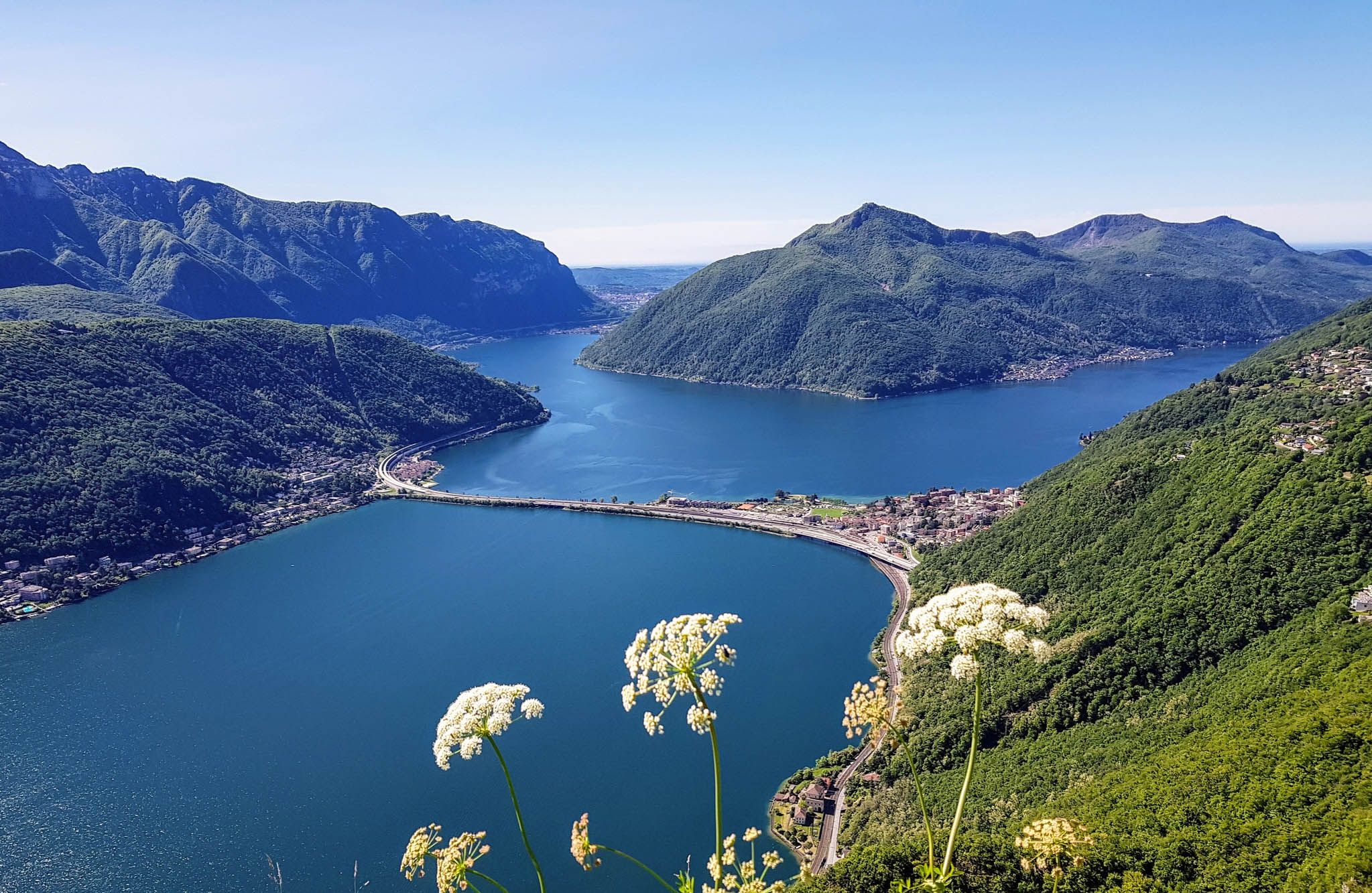
Sentiero Lago di Lugano – Between summits and lakes
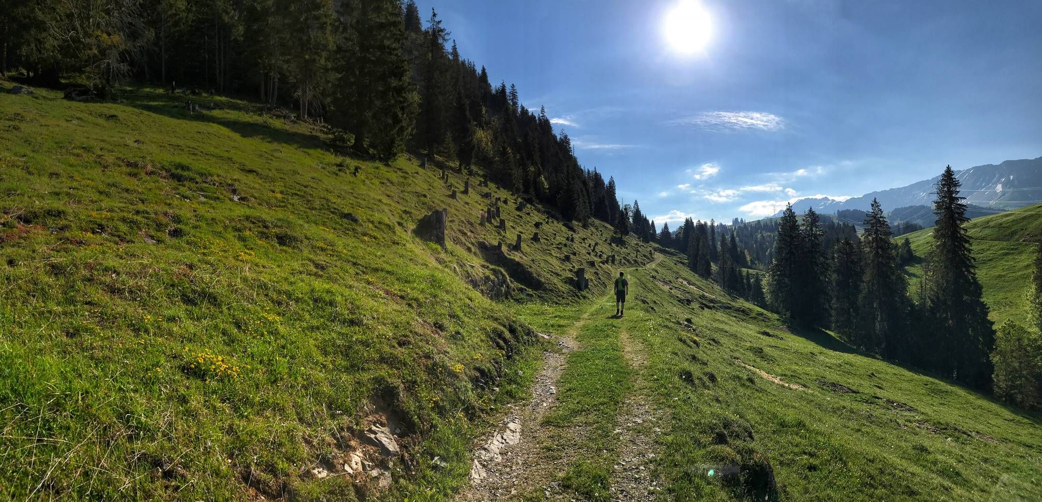
Trans Swiss Trail – Hiking across Switzerland
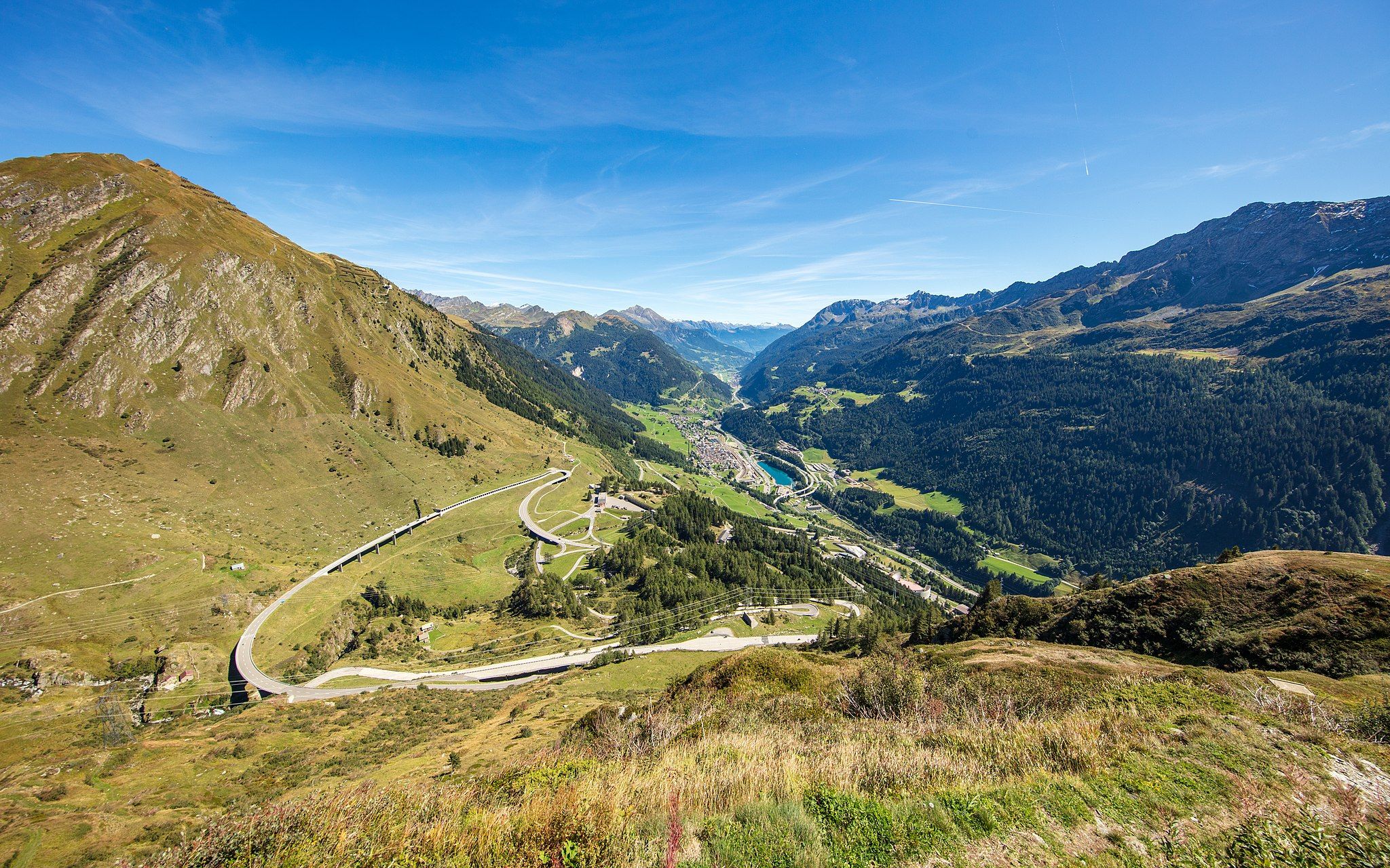
Via Gottardo – Following historic trails
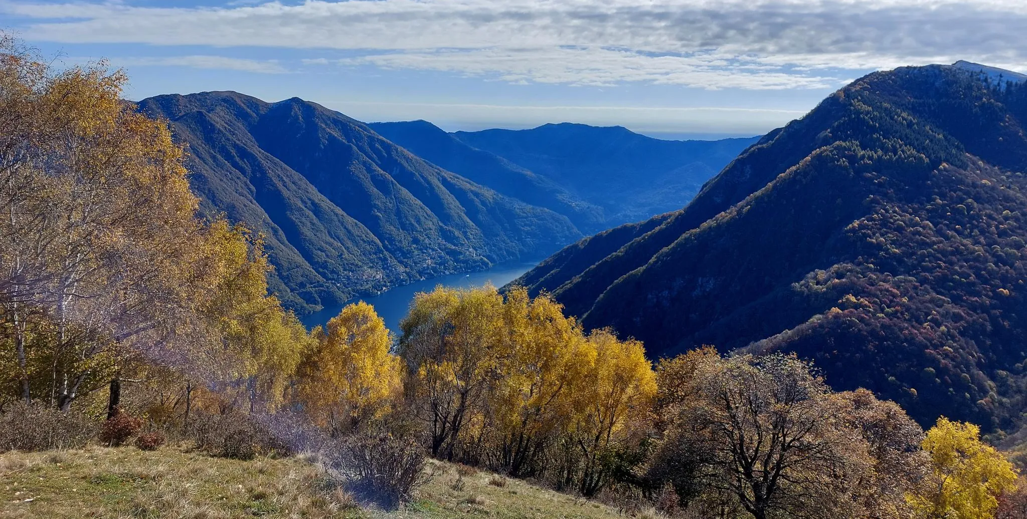
Lake Como region – CamminaForeste in Lombardy part 7
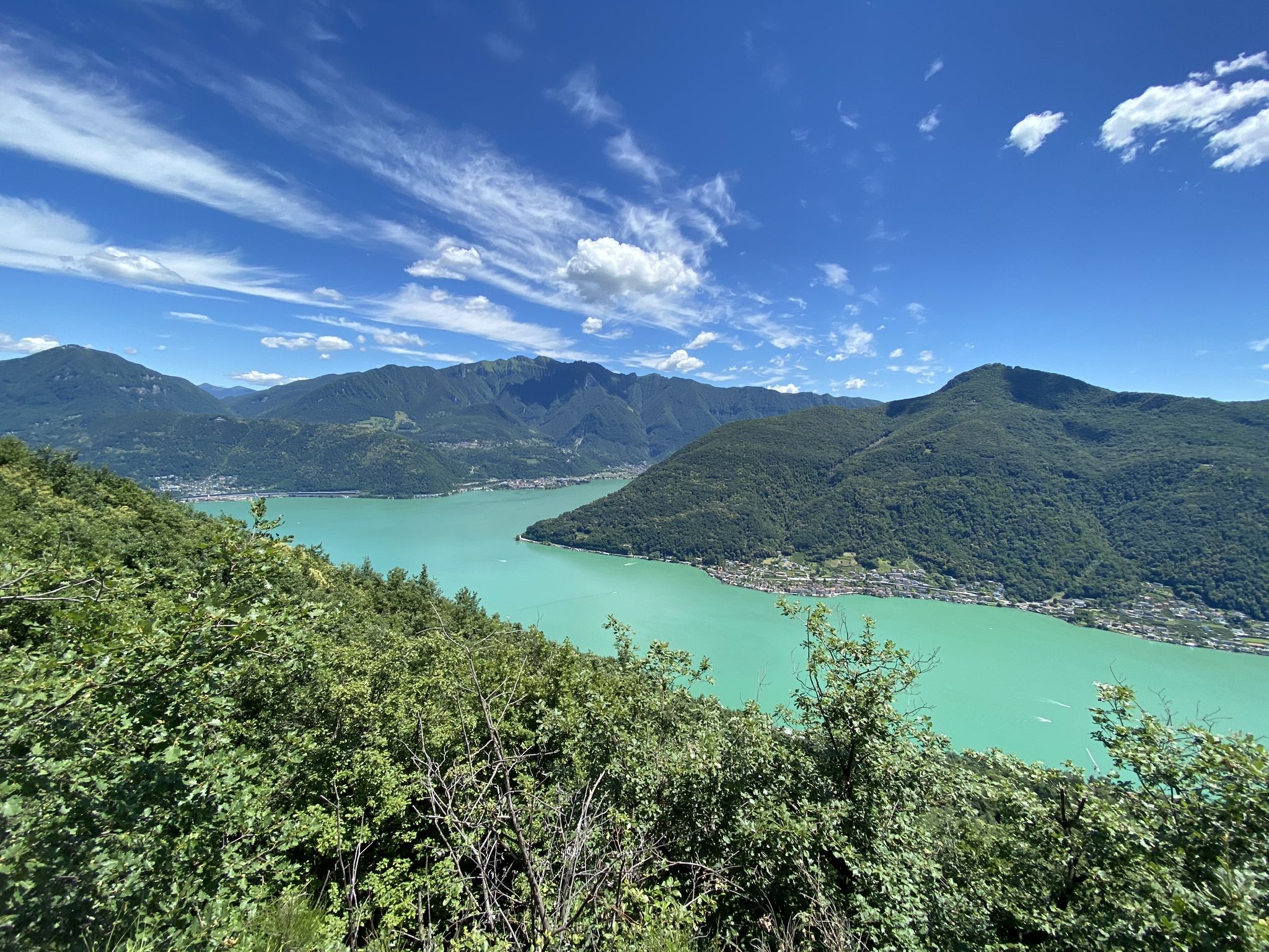
Trails with friends – komoot hiking relay through Ticino in Switzerland

Every cycling trip is a little holiday – bike to work Challenge 2026
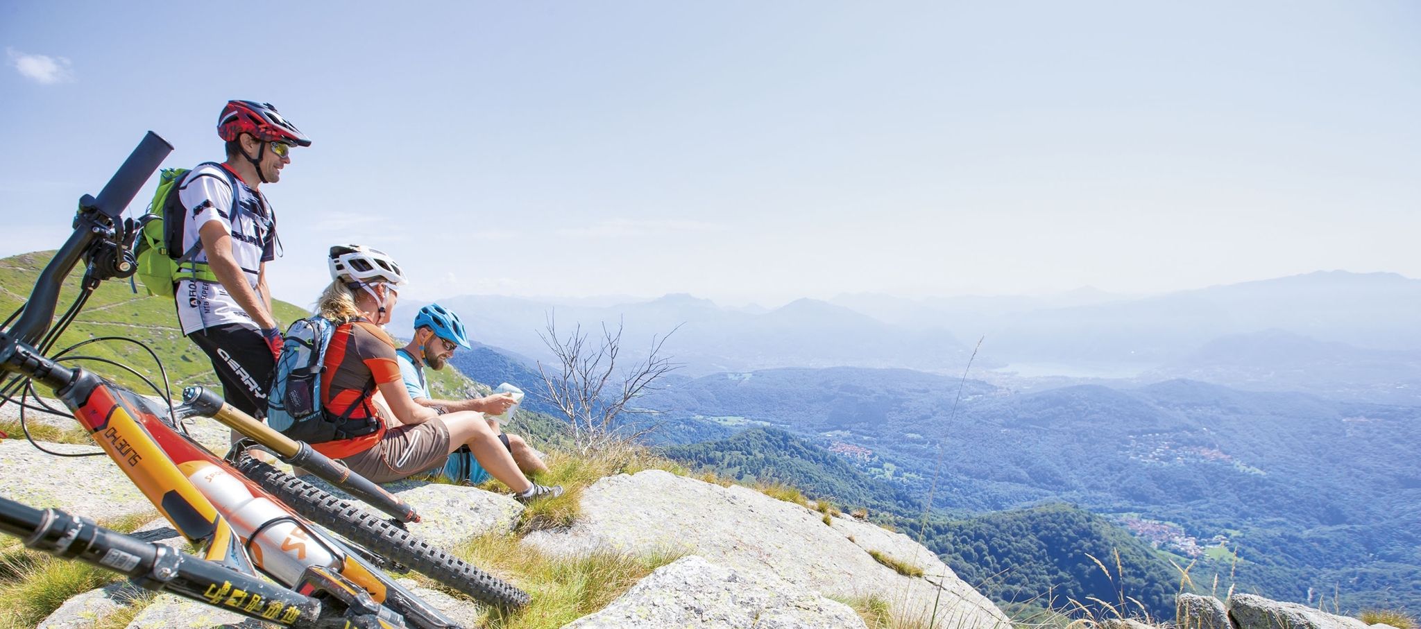
Ride together – the komoot MTB relay through Ticino in Switzerland
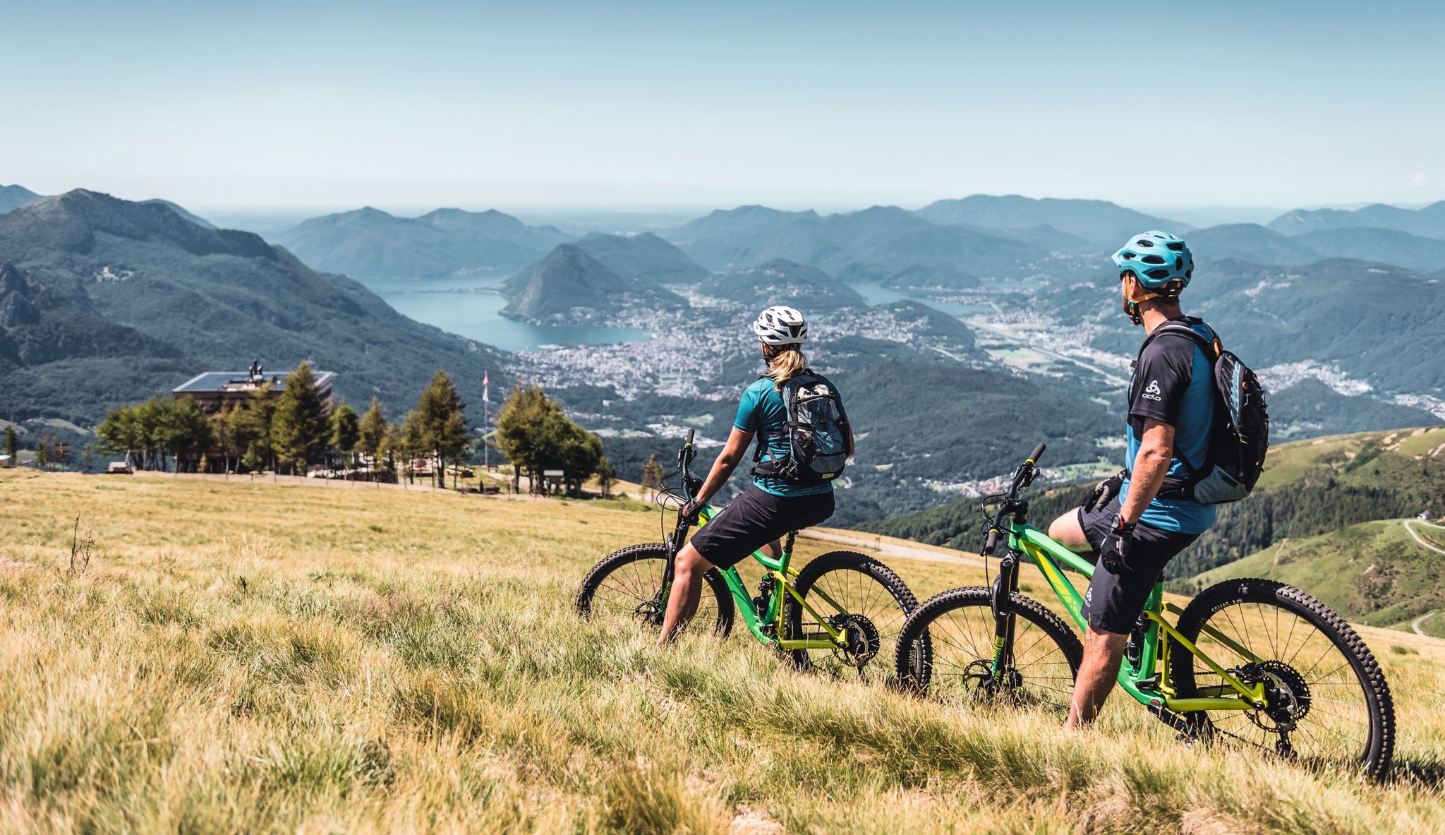
Wine, mountains & lakes – six top MTB Tours in Ticino in Switzerland
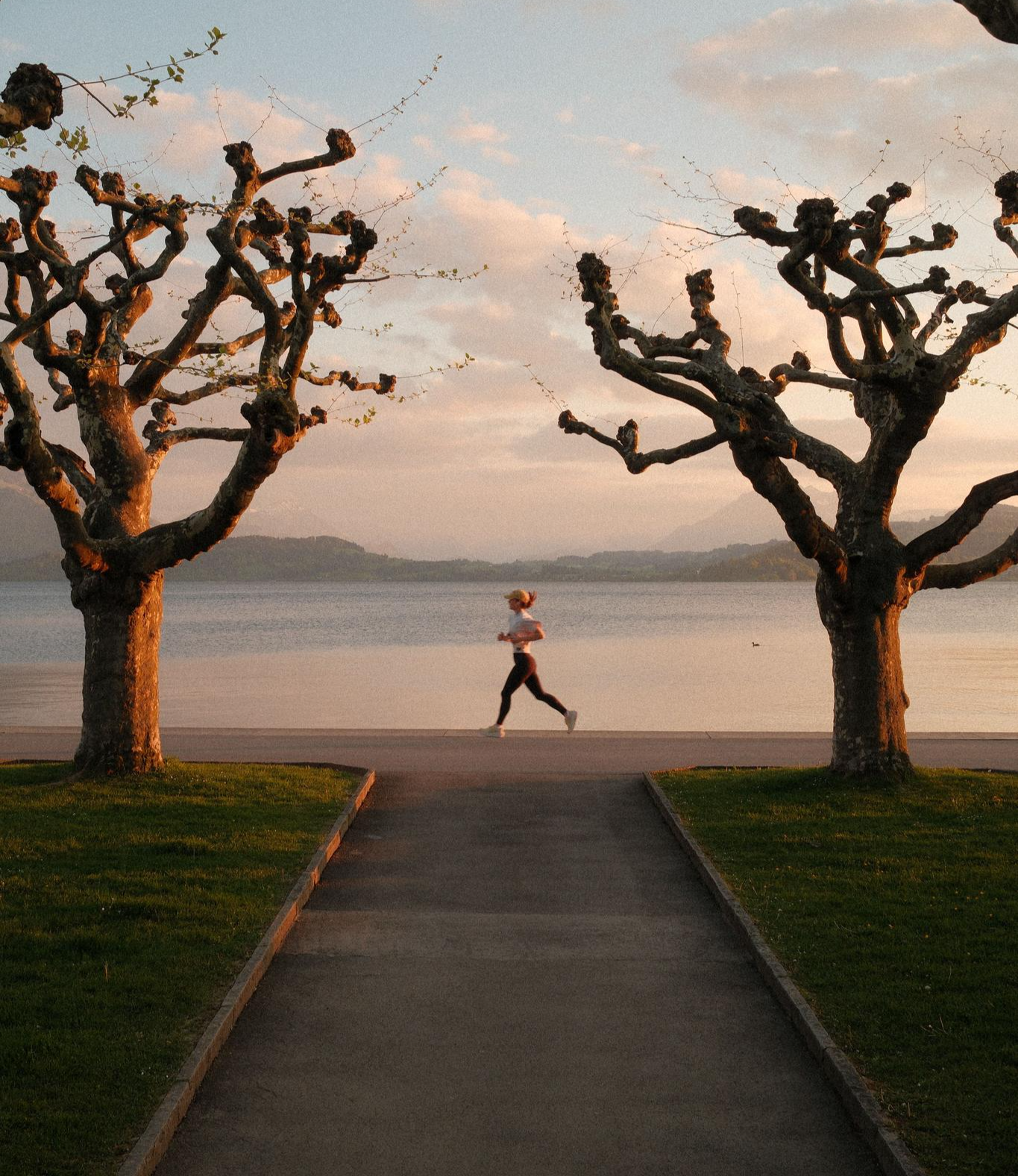
20 Schweizer Städte, 20 Laufstrecken – Laufen nach Plan mit Atupri
Other adventures around Lake Lugano


Tips from the Community

Relatively quick and easy to reach from Begna, but the circular route from Porlezza over Monte di Pela involves quite a few additional altitude meters climbing from Porlezza and then descending again into the gorge to the waterfall - although it is actually always well marked, it is a significantly wilder and steeper path than the way from and to Begna.
0
0

I thought you could see Lake Lugano from this point, but that's not the case
0
0

The lakeside promenade of Porlezza offers bars, restaurants and gelaterias at the northern end, and further south there are quiet benches under shady trees, and it continues to the bathing beach on the lake.
0
0

A walk from the Begna direction, and a beautiful, challenging trail from the other side of the gorge. A dip in the waterfall is a must.
0
0


From here the path becomes increasingly steep and narrow, slippery in wet weather in winter and autumn. Difficult climb to the top. Then also very difficult descent over narrow rocky paths, then wide but steep descent to the city
0
0

They are waterfalls formed by the waters of the Rezzo torrent
0
0
Frequently Asked Questions
How many waterfall hiking trails can I find around Lake Lugano?
There are over 50 dedicated waterfall hiking trails around Lake Lugano. These routes range in difficulty from easy strolls to more challenging ascents, catering to various fitness levels.
Are there any easy waterfall hikes suitable for beginners or families?
Yes, Lake Lugano offers several easy waterfall hikes. Approximately 15 routes are classified as easy. These trails are generally shorter with less elevation gain, making them ideal for a relaxed outing. For example, the Loggio Waterfall – Natural Pools of Civate loop from Valsolda is an easy 3.3-mile (5.3 km) trail that takes less than two hours to complete.
What is the best time of year to experience the waterfalls at their fullest?
The waterfalls around Lake Lugano are often at their most impressive during spring and early summer. This is when snowmelt from the surrounding mountains and increased rainfall contribute to a higher water volume, creating more powerful and scenic cascades.
Can I find circular waterfall walks around Lake Lugano?
Many of the waterfall trails around Lake Lugano are designed as circular routes, allowing you to start and end in the same location without retracing your steps. An example is the Cressogno Village Alleyways – Loggio Waterfall loop from Claino con Osteno, a moderate 5.3-mile (8.5 km) loop.
Are there opportunities for wild swimming near the waterfalls?
Yes, some waterfall trails offer natural pools ideal for cooling off. The Loggio Waterfall – Natural Pools of Civate loop from Valsolda specifically highlights natural pools where you can enjoy a refreshing dip near the waterfall.
What kind of terrain can I expect on waterfall hikes in this region?
The terrain around Lake Lugano's waterfall hikes is diverse, characterized by steep mountain slopes, deep valleys, and lush Mediterranean vegetation. Paths often wind through dense woodlands of chestnut and beech trees, with some sections featuring rocky or uneven surfaces. You'll encounter a mix of limestone and crystalline rocks, which contribute to the formation of the cascades.
What do other hikers enjoy most about the waterfall trails around Lake Lugano?
The komoot community highly rates the trails around Lake Lugano, with an average score of 4.5 stars from over 2,300 reviews. Hikers frequently praise the stunning lake views, the tranquility of the forested slopes, and the refreshing beauty of the cascading water features.
Are there any interesting landmarks or villages to explore near the waterfall trails?
Yes, the region around Lake Lugano is rich in charming villages and historical sites. While hiking, you might encounter places like Morcote Village or Gandria Village, both known for their picturesque settings. The Historic center of Porlezza – Cascata di Begna loop from Porlezza, for instance, allows you to explore a local village alongside natural beauty.
How long do waterfall hikes typically take around Lake Lugano?
The duration of waterfall hikes varies significantly. Shorter, easy routes like the Loggio Waterfall – Natural Pools of Civate loop from Valsolda can be completed in under two hours. More challenging and longer trails, such as the Lake Lugano – Cascata di Begna loop from Porlezza, can take up to seven hours or more.
Are there any moderate waterfall hikes for those looking for a bit more challenge?
Certainly. Lake Lugano offers a good selection of moderate waterfall hikes, with 18 routes falling into this category. These trails typically involve longer distances and more significant elevation changes than easy routes. The Cressogno Village Alleyways – Loggio Waterfall loop from Claino con Osteno is a moderate option, providing a rewarding experience without being overly strenuous.
What should I consider regarding parking for waterfall hikes?
Parking availability can vary depending on the trailhead. Many popular starting points in villages like Valsolda or Porlezza offer designated parking areas, though they might fill up quickly during peak season. It's advisable to check local signage and arrive early, especially for well-known routes.
Can I access waterfall trails using public transport around Lake Lugano?
While some trailheads are accessible by local bus services or ferry connections, public transport options can be limited for more remote starting points. Planning your route in advance and checking local transport schedules is recommended if you intend to rely on public transport.
Most popular routes around Lake Lugano
Most popular attractions around Lake Lugano

Get inspired with the komoot mobile app


Explore more
Browse the best Hikes in other regions.
