The best mountain hikes around Latour-De-Carol
4.5
(2)
17
hikers
4
hikes
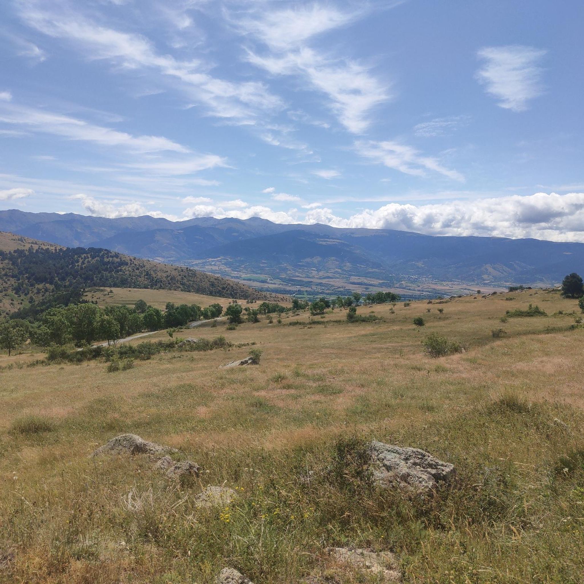
Mountaineering routes around Latour-De-Carol explore the high mountain terrain of the Pyrenees. The region features prominent peaks, alpine passes, and glacial lakes, offering significant elevation changes. This landscape provides a challenging environment for experienced climbers and offers diverse natural features. The area is characterized by rugged slopes and open alpine meadows.
Best mountaineering routes around Latour-De-Carol
- The most popular mountaineering route is Peak Carlit loop from Barrage de Passet, a 10.6 miles (17.1 km) trail that takes 7 hours…
Last updated: October 10, 2026
7
hikers
17.1km
07:38
1,190m
1,190m
Hard mountaineering route. Very good fitness required. Sure-footedness, sturdy shoes and alpine experience required.
5
hikers
15.4km
05:16
650m
650m
Hard mountaineering route. Very good fitness required. Mostly accessible paths. Sure-footedness required.

4.5
(2)
3
hikers
4.95km
01:45
200m
200m
Moderate mountaineering route. Great for any fitness level. Mostly accessible paths. Sure-footedness required.
2
hikers
11.9km
04:44
910m
910m
Hard mountaineering route. Very good fitness required. Easily-accessible paths. Suitable for all skill levels.
Our route recommendations are based on thousands of hikes, rides, and runs completed by other people on komoot.
Start today with a free account
Your next adventure awaits.

Tips from the Community

The only positive thing about this pass is its relatively moderate gradient. The traffic (until the road to Andorra turns off) is horrific. Hordes of motorcyclists, trucks, cars... If you can, you should avoid this pass.
2
0

Although limited to 70 km/h, the tunnel is not passable by bicycle. There's even an electronic toll system.
2
0


Maybe choose right at the beginning and not at the end, because you have more power at the start.
0
0
ideal place for a break, especially with children a highlight
0
0
Refreshment can be found in the streams, swimming is prohibited in the lake
0
0

Carlit Peak is part of the Capcir granite massif, which is dotted with 27 lakes and small lakes in the Occitanie region, northwest of Font-Romeu. Its summit is located at 2921 meters, allowing you to observe an immense panorama (from Canigó to the Central Pyrenees).
1
2
Frequently Asked Questions
How many mountaineering routes are available around Latour-De-Carol?
There are 5 mountaineering routes detailed in this guide for the Latour-De-Carol area. These routes primarily explore the high mountain terrain of the Pyrenees, featuring prominent peaks, alpine passes, and glacial lakes.
Are there any easy or moderate mountaineering routes for beginners in Latour-De-Carol?
While most routes in Latour-De-Carol are challenging, there is one moderate route suitable for those with some experience: the Rec de Lanos Waterfalls – Font Vive Lake loop from Lac du Passet. This 4.9 km path takes about 1 hour 45 minutes and leads through scenic valleys to waterfalls and a mountain lake.
What kind of challenges can I expect on mountaineering routes in this region?
Mountaineering routes around Latour-De-Carol are characterized by significant elevation changes, rugged slopes, and high mountain passes. Many routes are classified as difficult, such as the Peak Carlit loop from Barrage de Passet, which involves over 1,100 meters of ascent over 17.1 km.
Are there any circular mountaineering routes available?
Yes, several routes are circular. For instance, the Puymorens Pass – Coma d'Or peak loop from Col de Puymorens is a difficult 15.4 km circular path traversing high mountain passes. Another option is the Les Molleres dels Engorgs – Puigpedrós loop from Refugi de Malniu, which is 11 km long and also circular.
What natural attractions or landmarks can I see along these routes?
The region is rich in natural beauty. You can encounter stunning features like the Summit of Pic Carlit, the majestic Puigpedrós Summit (2,911 m), and serene Lake Malniu. Some routes, like the Rec de Lanos Waterfalls – Font Vive Lake loop, specifically highlight waterfalls such as the Waterfall of the Montmelús Stream.
What is the best season for mountaineering in Latour-De-Carol?
The best season for mountaineering in the Pyrenees around Latour-De-Carol is typically from late spring to early autumn (June to September). During these months, snowmelt has usually cleared higher passes, and weather conditions are generally more stable, offering better visibility and safer climbing conditions.
Are there any routes that offer views of prominent peaks?
Absolutely. The mountaineering routes in Latour-De-Carol are known for their panoramic views of the Pyrenees and prominent peaks. For example, the Peak Carlit loop from Barrage de Passet offers significant elevation gain and direct views of Pic Carlit, one of the highest peaks in the Eastern Pyrenees.
What do other mountaineers say about the routes in Latour-De-Carol?
The mountaineering routes in Latour-De-Carol are highly rated by the komoot community, with an average score of 4.5 stars. Users often praise the challenging nature of the trails, the stunning alpine scenery, and the sense of accomplishment from tackling significant elevation gains in the Pyrenees.
Are there any routes that pass through high mountain passes?
Yes, the region is characterized by high mountain passes. The Puymorens Pass – Coma d'Or peak loop from Col de Puymorens specifically traverses high mountain passes, offering classic Pyrenean mountaineering experiences. You can also find other passes like Puymorens Pass and Portella de Calm Colomer as points of interest.
Can I find routes that lead to alpine lakes?
Yes, the glacial lakes are a highlight of the region. The Rec de Lanos Waterfalls – Font Vive Lake loop from Lac du Passet is a moderate route that specifically leads to Font Vive Lake. Additionally, Lake Malniu is a notable alpine lake in the vicinity.
Are there any challenging routes for experienced mountaineers?
Latour-De-Carol is ideal for experienced mountaineers, with four out of five routes classified as difficult. The L'Estanyol – Pic de Font Freda loop from Col de Puymorens, for example, is a difficult 11.9 km route with over 900 meters of elevation gain, offering a significant challenge.
Most popular routes around Latour-De-Carol
Most popular attractions around Latour-De-Carol

Get inspired with the komoot mobile app


Explore more
Browse the best Mountain Hikes & Routes in other regions.
