The best running trails around Latour-De-Carol
4.5
(43)
3,727
runners
253
runs
Jogging around Latour-De-Carol offers a diverse experience in the Pyrénées-Orientales department of Occitanie, France. The region is characterized by its mountainous environment, situated at an average altitude of 1200m within the Catalan Pyrenees, providing elevation changes and views of surrounding peaks. Runners can explore varied terrain, including forest paths, routes along the Carol river, and a network of trails bordered by hedges and old stone walls. This area provides a range of running routes from moderate to difficult, catering to…
Last updated: May 25, 2026
5.0
(1)
29
runners
11.8km
01:16
110m
110m
Moderate run. Good fitness required. Mostly paved surfaces. Suitable for all skill levels.
15
runners
Moderate run. Good fitness required. Mostly paved surfaces. Suitable for all skill levels.

Sign up for free
17
runners
9.38km
01:00
110m
110m
Moderate run. Good fitness required. Mostly paved surfaces. Suitable for all skill levels.
16
runners
Hard run. Very good fitness required. Sure-footedness, sturdy shoes and alpine experience required.
2.0
(1)
14
runners
Moderate run. Good fitness required. Mostly paved surfaces. Suitable for all skill levels.
Get access to more routes and recommendations from other explorers.
Sign up for free
Already have an account?
Our route recommendations are based on thousands of hikes, rides, and runs completed by other people on komoot.
Start today with a free account
Your next adventure awaits.
Login or Signup
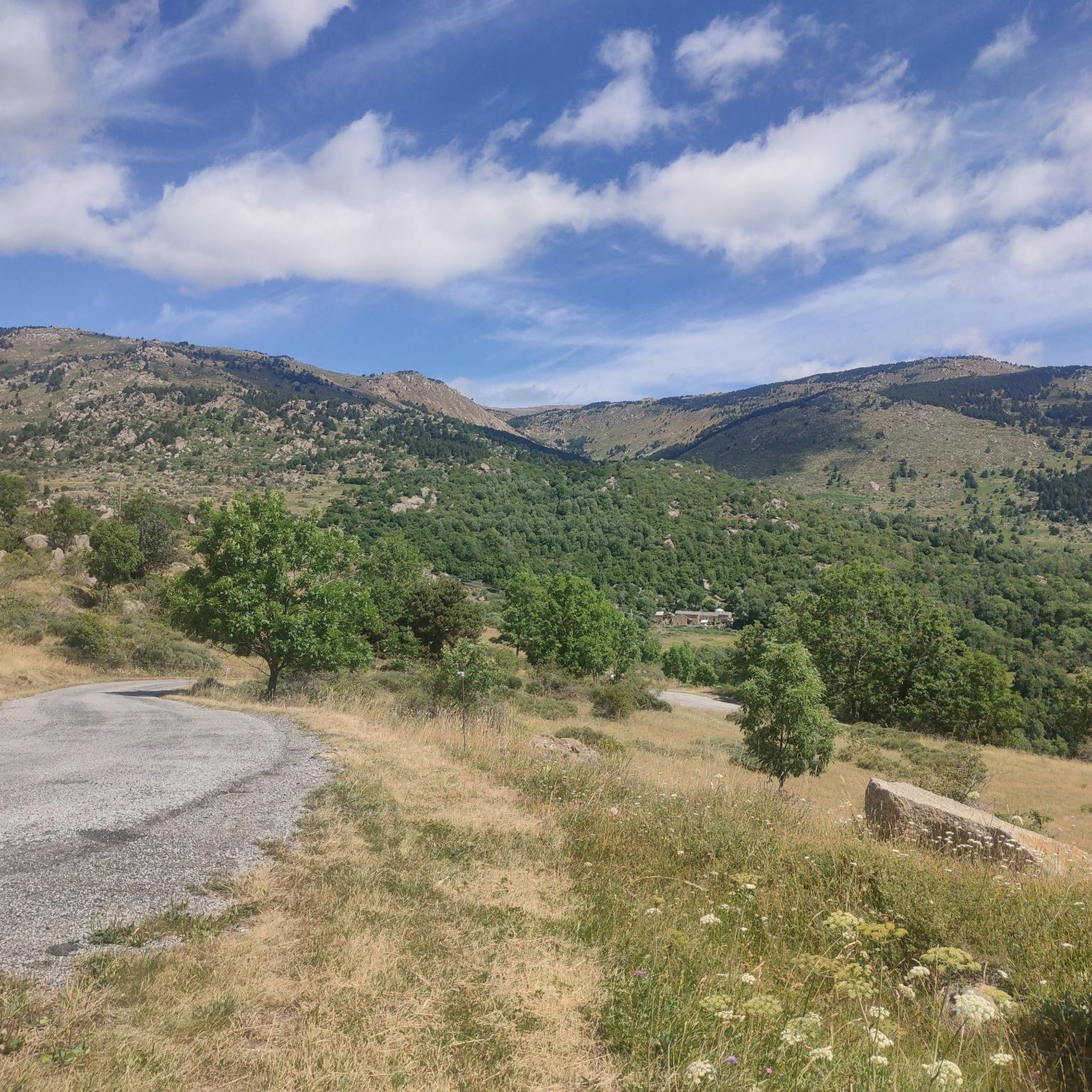
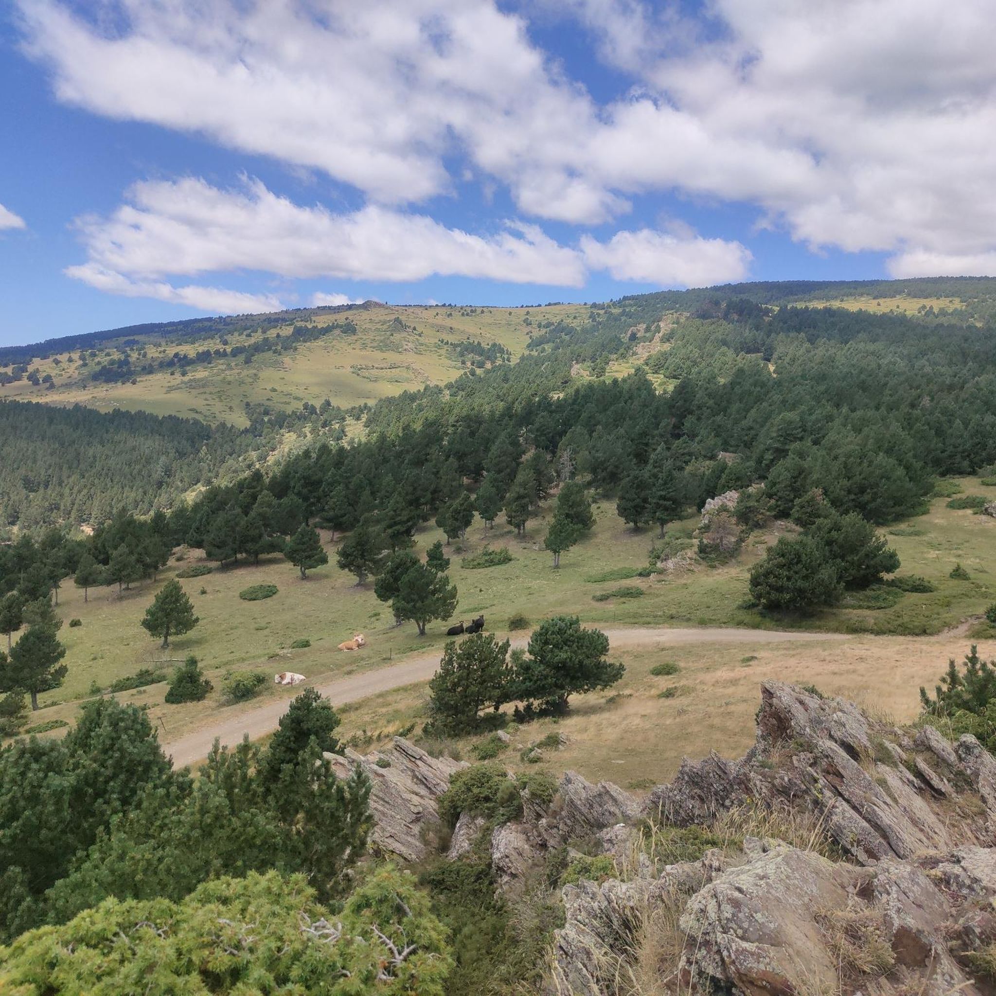
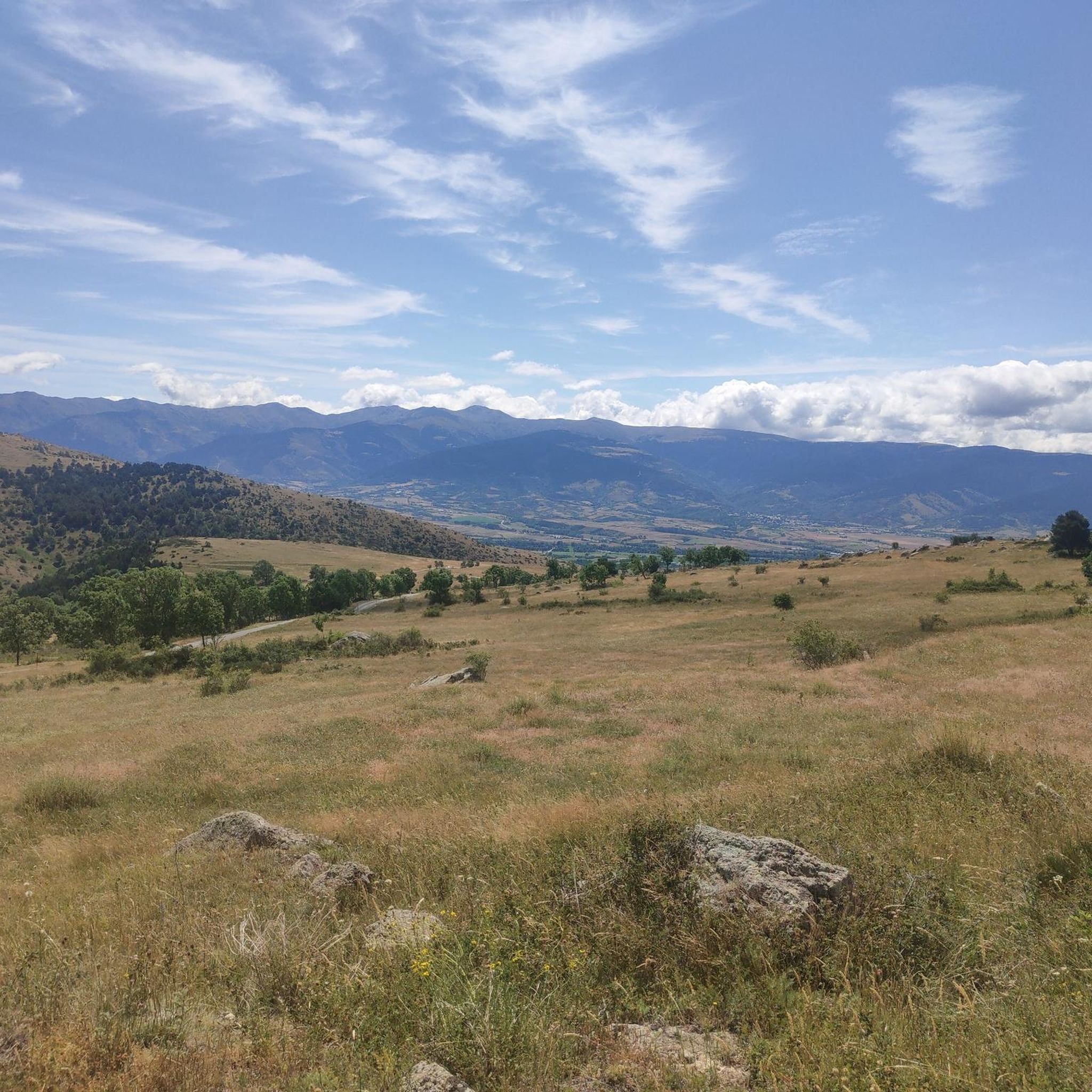

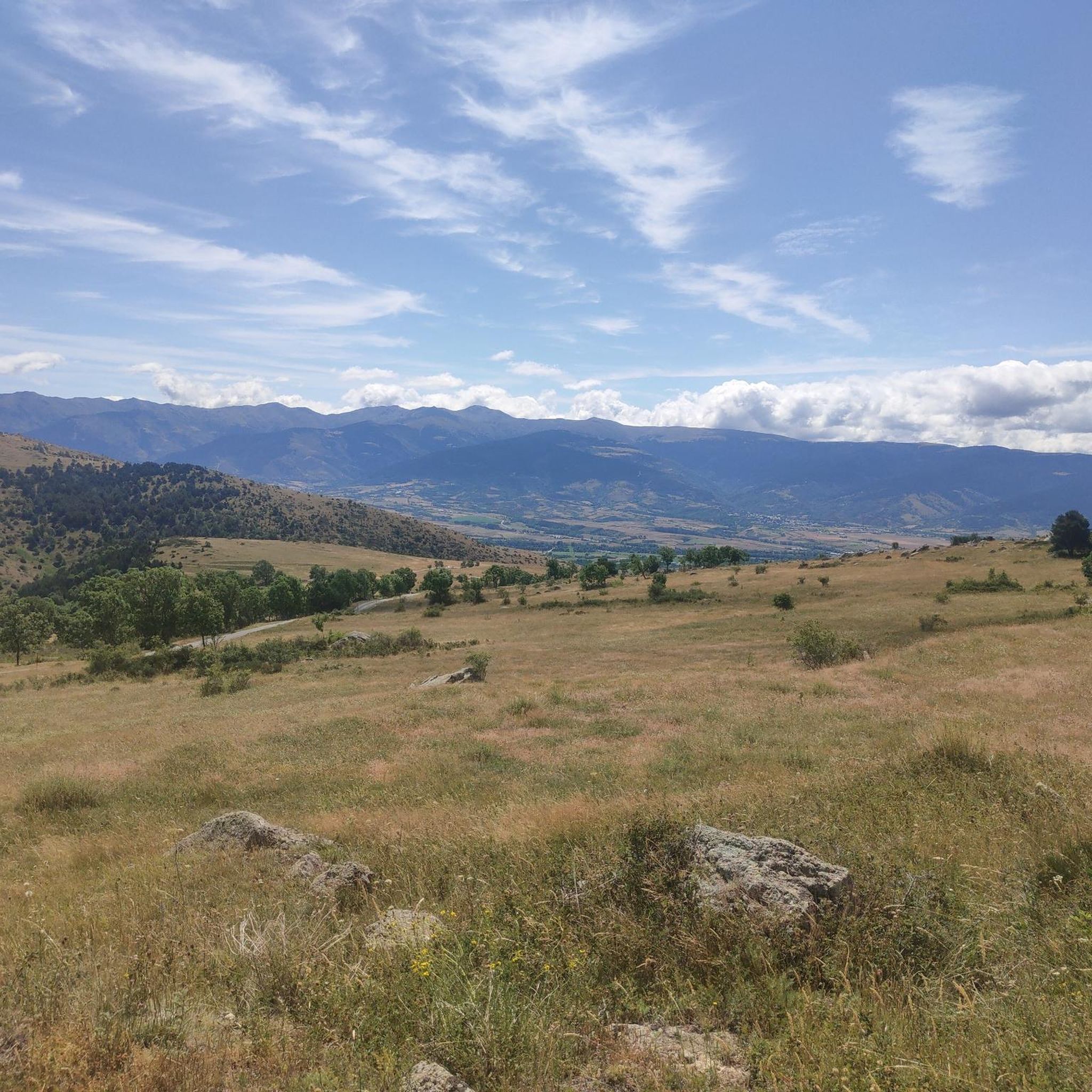

Tips from the Community

The road is no longer blocked. Be careful, there are more cars than before.
0
0

If you want to see what the arrival at the lake is like https://www.youtube.com/watch?v=2-kwjBhEkwU
0
0

There is a road block there now. But it's easy to carry the bicycle over it.
1
0
It's a good connection road for bicycles. I wouldn't get discouraged by "the block". Unclip, carry over, clip back in 😆
3
0

Words are superfluous, you have to see it and enjoy it ;-)
0
0

Road blocked half way through as it is not allowed to cycle there but you can go around and use the road anyway
0
0

Puigcerdà pond is an artificial pond located in the northwest part of the town of Puigcerdà. The first news of the existence of this pond date from the 13th century, specifically from 2 December 1260, as described by priest Jaume Martí i Sanjaume in his book Dietari de Puigcerdà. The lake's water supply comes from the Querol river which is brought to Puigcerdà by means of an artificial drain. https://ca.wikipedia.org/wiki/Estany_de_Puigcerd%C3%A0
0
0

Lacustrel lake of glacial origin located in the town of Meranges, Cerdanya. It is located at 2250 m, at the head of the Tova valley. It has an area of 5.9 ha and a maximum depth of 13.5 m. It is bounded to the northwest by Puigpedrós (2914 m) and to the northeast by Pedró de la Tossa (2695 m).
0
0
Frequently Asked Questions
How many running routes are available around Latour-De-Carol?
There are over 240 running routes available around Latour-De-Carol, offering a wide variety of options for different fitness levels and preferences. These include easy strolls, moderate loops, and challenging ascents through the mountainous terrain.
What kind of terrain can I expect on running trails in Latour-De-Carol?
The running trails in Latour-De-Carol feature diverse terrain, from shaded forest paths and local woodlands to routes along the Carol river. You'll encounter mountainous environments with elevation changes, picturesque views of surrounding peaks, and a network of trails bordered by hedges and old stone walls. The region is situated at an average altitude of 1200m within the Catalan Pyrenees, providing a varied and engaging running experience.
Are there easy running routes for beginners in Latour-De-Carol?
Yes, Latour-De-Carol offers a selection of easy running routes suitable for beginners. There are 15 routes classified as easy, providing gentle paths through scenic areas. These are perfect for those looking for a less strenuous run while still enjoying the beautiful natural surroundings.
What are the options for challenging trail runs in the Latour-De-Carol area?
For experienced runners seeking a challenge, Latour-De-Carol has 98 difficult trail runs. These routes often involve significant elevation changes, taking you through mountainous terrain with views of peaks like Carlit and Campcardos, and potentially up to the Puigpedròs Summit. They offer a rewarding experience for those looking to push their limits.
Are there any circular running routes in Latour-De-Carol?
Yes, many of the running routes in Latour-De-Carol are circular, allowing you to start and finish at the same point. An example is the Torniquet Lake loop from Latour-de-Carol - Enveitg, which offers a pleasant 6.0-mile (9.6 km) run around the lake.
Can I find running routes with water features like lakes or waterfalls in Latour-De-Carol?
Absolutely. The region is traversed by the Carol river, and features icy mountain streams and lakes. You can find routes that pass by natural monuments such as Lake Malniu or the Waterfall of the Montmelús Stream. The Nature Reserve also includes lakes like Estany del Clot and Gorg Estelat Negro, providing refreshing natural features along potential running paths.
What are some scenic running routes in Latour-De-Carol?
Latour-De-Carol boasts numerous scenic running routes. The mountainous environment offers breathtaking views of the Catalan Pyrenees. Routes like the Estany de Puigcerdà – Puigcerdà Pond loop from Latour-de-Carol - Enveitg provide picturesque views around the pond. You'll also find paths through diverse forests, along river valleys, and even ridge walks with dramatic scenery.
Are there any places to explore or landmarks along the running routes?
Yes, the area around Latour-De-Carol is rich with natural landmarks. Many routes offer views of or pass near significant peaks like the Summit of Pic Carlit or the Puigpedrós Summit (2,911 m). You might also encounter charming villages, old stone walls, and granite boulders that add character to your run.
What do other runners say about the trails in Latour-De-Carol?
The running routes in Latour-De-Carol are highly regarded by the komoot community, with an average rating of 4.5 stars from over 40 reviews. Runners often praise the diverse terrain, the stunning mountain views, and the variety of options available for different skill levels, from moderate loops around lakes to challenging ascents.
Is public transport available to access running routes in Latour-De-Carol?
Latour-De-Carol is a significant transport hub, particularly known for its railway station. This makes it relatively accessible by public transport, and many running routes can be reached from the village center or nearby train stops. For specific route access, it's advisable to check local transport schedules.
Where can I find parking near the running trails in Latour-De-Carol?
Parking is generally available in and around Latour-De-Carol, especially near popular trailheads or in the village itself. Many routes, particularly those starting from Latour-de-Carol - Enveitg, are easily accessible by car with designated parking areas. It's recommended to check specific starting points for the most convenient parking options.
What is the best season for running in Latour-De-Carol?
The best season for running in Latour-De-Carol is generally spring through autumn, when the weather is milder and the trails are clear. Summer offers warm, sunny conditions, while spring and autumn provide pleasant temperatures and vibrant natural colors. Winter running is possible but may require appropriate gear due to snow and colder temperatures at higher altitudes.
Most popular routes around Latour-De-Carol
Most popular attractions around Latour-De-Carol

Get inspired with the komoot mobile app


Explore more
Browse the best Running Trails & Routes in other regions.
