The 12 Most Amazing Peaks in West Flanders
Best mountain peaks in West Flanders are found in the southern part of the province, characterized by a series of modest hills known as "witness hills." These elevations, while not conventional mountains, hold historical and recreational significance. The region offers opportunities for hiking and cycling, with varied landscapes including woodlands, meadows, and historical sites.
Best mountain peaks in West Flanders
- The most popular mountain peaks is Hill 60 preserved Battlefield (World War I), a historical site that was a…
Last updated: August 13, 2026
Hill 60 preserved Battlefield (World War I)
Highlight • Historical Site
Translated by Google •
Tip by

Tiegemberg Ascent via Back Side
Highlight (Segment) • Climb
Translated by Google •
Tip by

Sign up now to discover places like this
Get recommendations on the best single tracks, peaks, & plenty of other exciting outdoor places.
Sign up for free
View from the Hoge Blekker
Highlight • Viewpoint
Translated by Google •
Tip by

French Soldiers' Memorial (1914–1918), Kemmelberg
Highlight • Monument
Translated by Google •
Tip by
IGM Kemmelberg Summit Marker
Highlight • Monument
About 2,500 years ago, a Celtic community belonging to the Hallstatt culture settled on the Kemmelberg. The Celts built a fortress and maintained a trading relationship with the …
Translated by Google •
Tip by

Lijstermolen on the Baneberg
Highlight • Monument
The top of the slope is between the Rodeberg and the Vidaigneberg. Near the top there is a thrush mill. There is a chairlift (Cordoba) between the Baneberg …
Translated by Google •
Tip by


Highest Point of the Dunes
Highlight • Summit
Translated by Google •
Tip by
Monteberg Climb
Highlight (Segment) • Climb
Translated by Google •
Tip by

View of Loker from the Rodeberg
Highlight • Viewpoint
Translated by Google •
Tip by

Sign up for free to discover even more peaks in West Flanders.
Sign up for free
Already have an account?
Start today with a free account
Your next adventure awaits.
Login or Signup
Popular around West Flanders
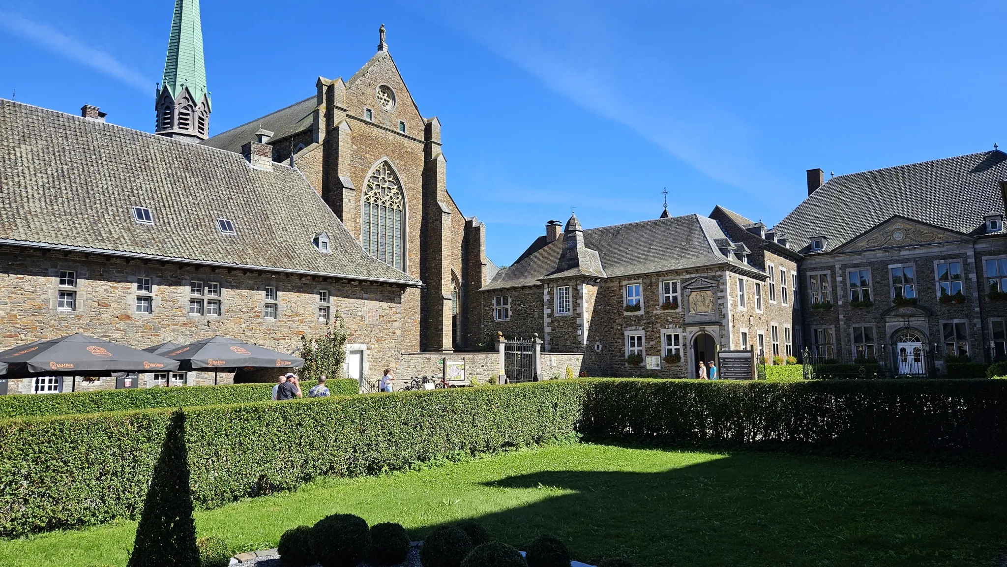
Trappist abbeys cycle route – Between beers and heritage
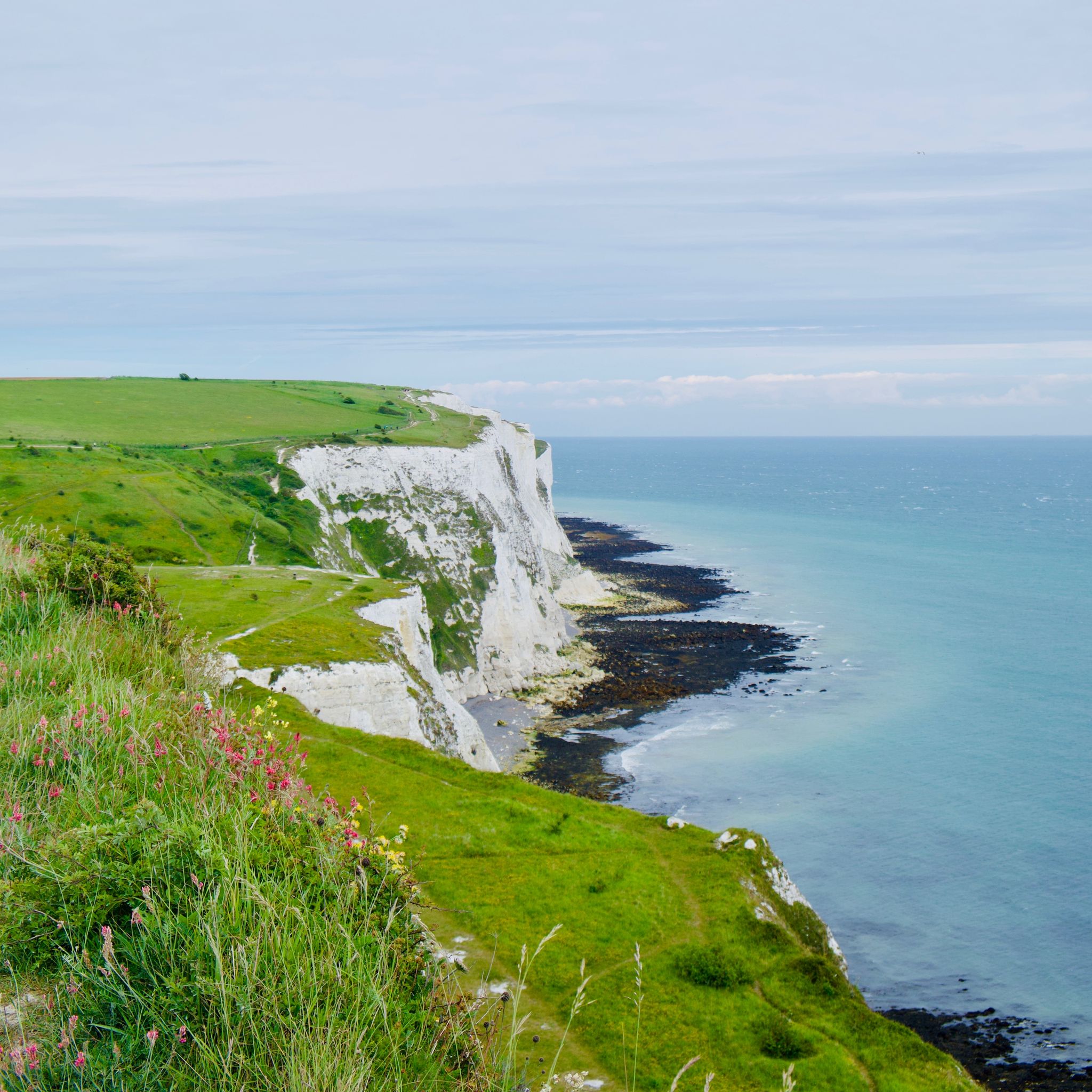
From Amsterdam to London - along the North Sea and across the water
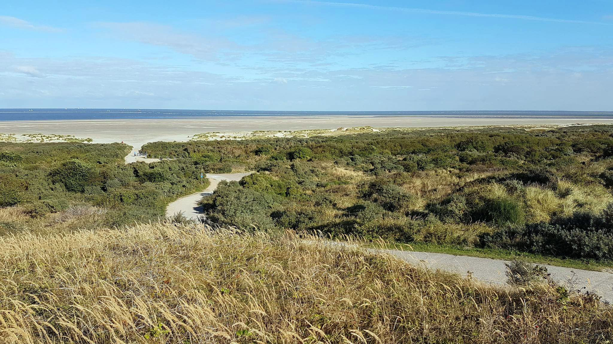
The North Sea Coast Cycle Route — Netherlands and Belgium
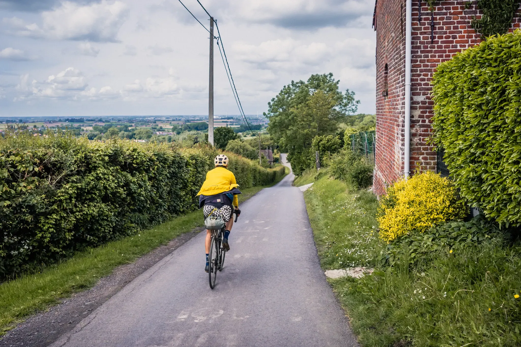
The Hilly Route from Brussels to Poperinge – bikepacking in Flanders
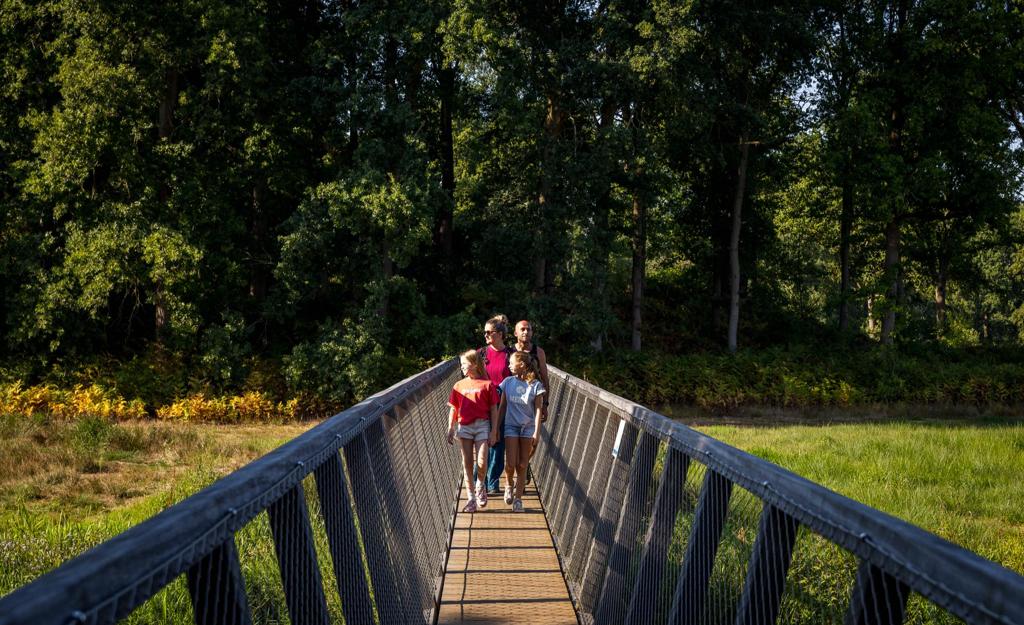
Flanders’ Finest Hiking Routes
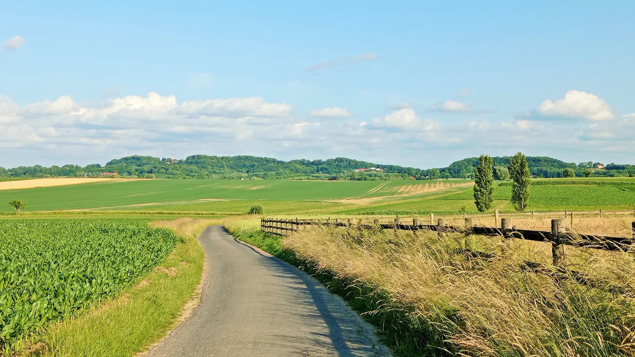
Seven-day Cycling tour through the South-Flemish hills – Hilly Route
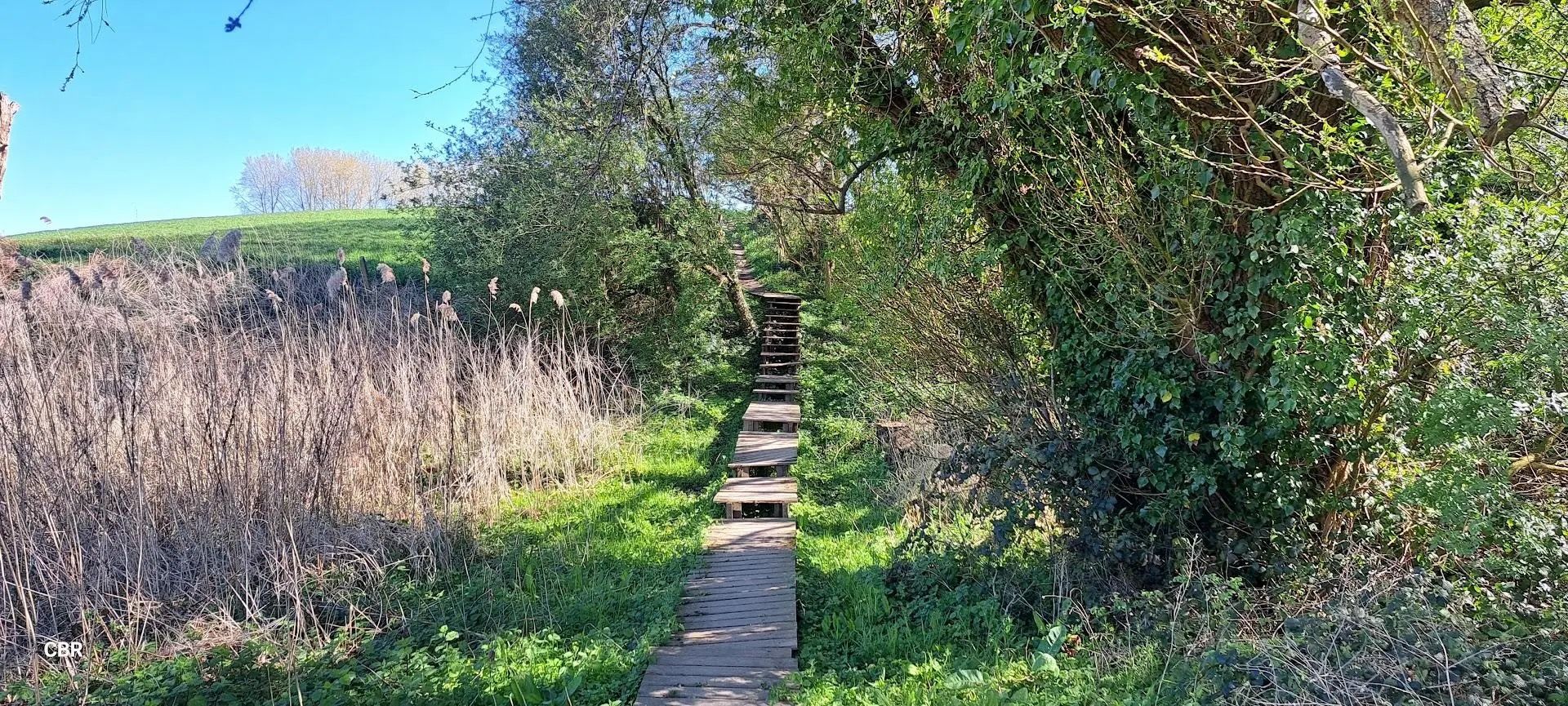
At the pace of the Westhoek - Streek-GR Heuvelland
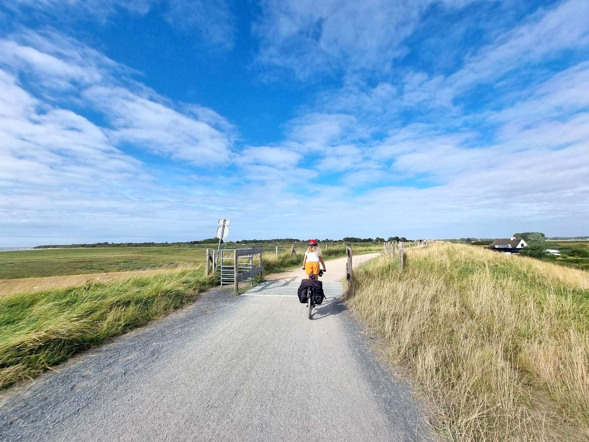
Sea, sand, and saddle – Coastal Route
By West, East and Zeeuws-Vlaanderen — GR Uilenspiegel
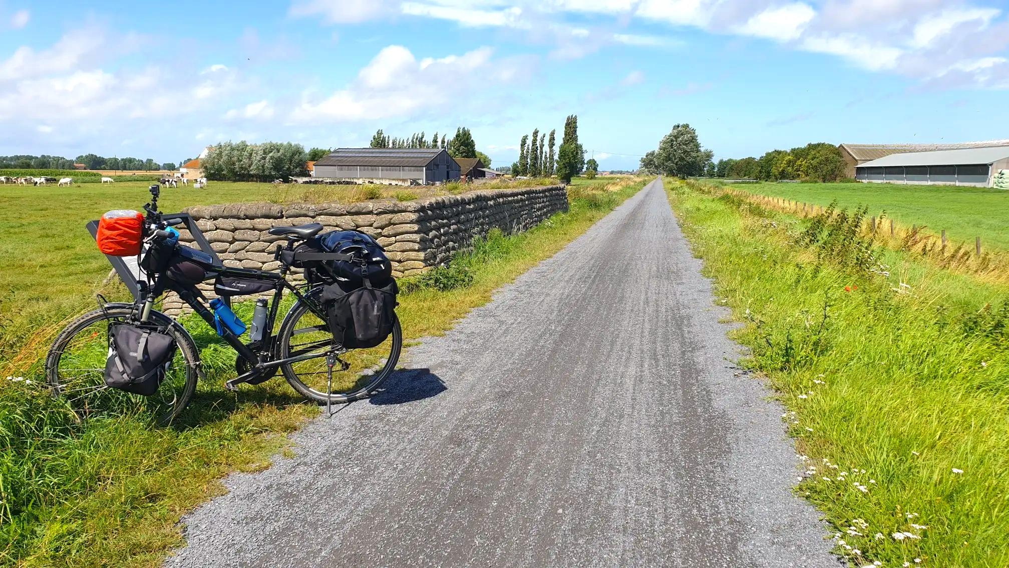
Cycling along the Belgian front - 14-18 Western Front Route
Other adventures in West Flanders


Tips from the Community

The observation point on the Geitenberg is a bird migration counting point. Every autumn, the bird working group of Natuurpunt counts at a few traditional migration sites in the region. Under normal weather conditions, the posts are manned every weekend in October. In principle, counting starts at sunrise, and in good (bird of prey) migration weather often continues until sunset. In good migration conditions, counting also takes place outside of weekends and then from September to November. Source: natuurpunt.be
4
0

The summit of the slope lies between the Rodeberg and the Vidaigneberg. Near the summit stands the Lijstermolen (Listers Mill). A chairlift runs between the Baneberg and the Vidaigneberg, gliding over the saddle valley between the two "mountains" and the vineyards of the Entre-Deux-Monts, offering panoramic views of northern France and the Belgian coastal plain. The summit is 140 meters high. The name comes from the Bane family, who owned the mountain in the 13th and 14th centuries. The slope is also sometimes called Gildestraat (Gilde Street). https://nl.wikipedia.org/wiki/Baneberg
0
0

Authentic and unspoiled. We saw an incredible carpet of flowers growing in the sand dunes.
3
0

At the top of the Belgium mountains. Hard climb up a cobbled street but worth the effort
0
0

From the top of the Rodeberg you have a wide view over the rolling hills of the Westhoek, which are famous for their natural beauty and the war history that played an important role here. Loker itself lies at the foot of the Rodeberg and is a typical picturesque village, surrounded by vast fields and green meadows.
1
0

Strategic hill called Hill 60 in the First World War.
1
0

Welcome to De Hoge Blekker, with its 33 meters the highest dune in the entire Flemish coastal region. A striking appearance and an impressive eye-catcher. The dune used to be a fixed navigation point for sailors. From a distance they could see the white back as a kind of 'flash' ('bleach' is the local dialect for 'flash'). The Hoge Blekker is a drifting dune that has covered some distances over time. The dune now covers an area of approximately 33 hectares. Enough room for a picnic stop!
4
0

Just enjoy the beautiful views.
8
1
Frequently Asked Questions
What is the highest point in West Flanders?
The highest point in West Flanders is the Kemmelberg, reaching an altitude of 154 to 161 meters (505 to 528 feet). It is located near the village of Kemmel in the municipality of Heuvelland and offers panoramic views from the Belvédère Tower at its summit. You can find a summit marker at IGM Kemmelberg Summit Marker.
Are there historical sites among the peaks in West Flanders?
Yes, West Flanders' peaks are rich in history, particularly from World War I. The Kemmelberg was a strategic point during the war, and you can find the Monument Aux Soldats Français at its summit. Another significant historical site is Hill 60 preserved Battlefield (World War I), which was a heavily contested area.
What natural features can I expect to see on these hills?
The hills of West Flanders, while modest in height, offer diverse natural beauty. You can explore woodlands, meadows, and even vineyards, especially around the Kemmelberg. The Rodeberg is known for its picturesque forests, like the Hellegatbos. In late April, the slopes of Kemmelberg are covered in purple bluebells and hyacinths.
Are there family-friendly viewpoints or activities on the peaks?
Absolutely. Many viewpoints are suitable for families. For instance, Observation Point De Geitenberg-Koossem is a bird migration counting station offering wide views. The View of Loker from the Rodeberg also provides expansive views over the Westhoek and is considered family-friendly.
What kind of outdoor activities can I do near the West Flanders peaks?
The region is excellent for various outdoor activities. Hiking and cycling are very popular, with many trails winding through the hills. You can find numerous options for easy hikes, as well as routes for cycling and running.
What is the best time of year to visit the West Flanders peaks?
Spring and autumn are particularly beautiful. In late April, the slopes of Kemmelberg are covered in purple bluebells and hyacinths, offering a stunning natural spectacle. Autumn provides pleasant temperatures for hiking and cycling, along with vibrant fall foliage.
Are there challenging climbs for cyclists in West Flanders?
Yes, the hills of West Flanders are famous in the cycling world, especially for their challenging climbs. The Kemmelberg, for example, features cobbled sections with gradients reaching up to 23%, making it a pivotal climb in races like Gent-Wevelgem. You can also experience climbs like Tiegemberg Ascent via Back Side and Monteberg Climb.
Can I find less crowded trails or hidden gems among the peaks?
While popular spots like Kemmelberg attract visitors, the broader Heuvelland region offers many trails through its various hills. Exploring areas around Scherpenberg, for instance, provides access to protected landscapes with fontinal woods and wet spring meadows, which can offer a quieter experience. The Hellegatbos on Rodeberg also provides a serene hiking area.
What kind of views can I expect from the peaks?
From the various peaks and viewpoints, you can expect wide, panoramic views of the surrounding West Flemish landscape. These often include rolling hills, picturesque villages, vast fields, and green meadows. On clear days, from the Kemmelberg, you might even catch a glimpse of the coast.
Are there any unique historical or archaeological findings related to these hills?
Yes, the hills hold interesting historical and archaeological significance. The Kemmelberg was home to a Celtic community 2,500 years ago and has seen archaeological excavations since the 1960s. On the Scherpenberg, a large-scale concrete relief map was used by British troops during World War I, and prehistoric seashells and shark's teeth have been discovered there.
What is the significance of the 'witness hills' in West Flanders?
The 'witness hills' of West Flanders, such as Kemmelberg, Rodeberg, and Scherpenberg, are unique geological formations. They were formed from ancient sandbanks that petrified into hard sandstone, resisting erosion and standing as 'witnesses' to the geological history of the otherwise flat region. They offer distinct elevations and microclimates.
Most popular routes in West Flanders
Most popular attractions in West Flanders

Get inspired with the komoot mobile app


Didn’t find what you were looking for?
Discover West Flanders’s best peaks and summits by region:
Explore more
See even more amazing summits in West Flanders with these guides:
