The best mountain hikes around Neumarkt im Mühlkreis
9
hikers
3
hikes
Mountaineering routes around Neumarkt im Mühlkreis traverse a landscape characterized by rolling hills, pristine natural areas, and distinctive granite formations. The region, part of the Mühlviertel in Upper Austria, offers challenging ascents and opportunities for exploring its unique geology. Valleys and forested areas provide varied terrain for mountaineering activities.
Best mountaineering routes around Neumarkt im Mühlkreis
- The most popular mountaineering route is Buchberg – Elzer Stub'n loop from Kefermarkt, a 5.6 miles (8.98 km) trail that takes 2 hours…
Last updated: May 20, 2026
5
hikers
8.99km
02:45
320m
320m
Moderate mountaineering route. Good fitness required. Easily-accessible paths. Suitable for all skill levels.
3
hikers
11.1km
03:35
490m
490m
Moderate mountaineering route. Good fitness required. Easily-accessible paths. Suitable for all skill levels.

Sign up for free
1
hikers
7.55km
02:11
180m
180m
Moderate mountaineering route. Good fitness required. Easily-accessible paths. Suitable for all skill levels.
Our route recommendations are based on thousands of hikes, rides, and runs completed by other people on komoot.
Start today with a free account
Your next adventure awaits.
Login or Signup
Popular around Neumarkt im Mühlkreis
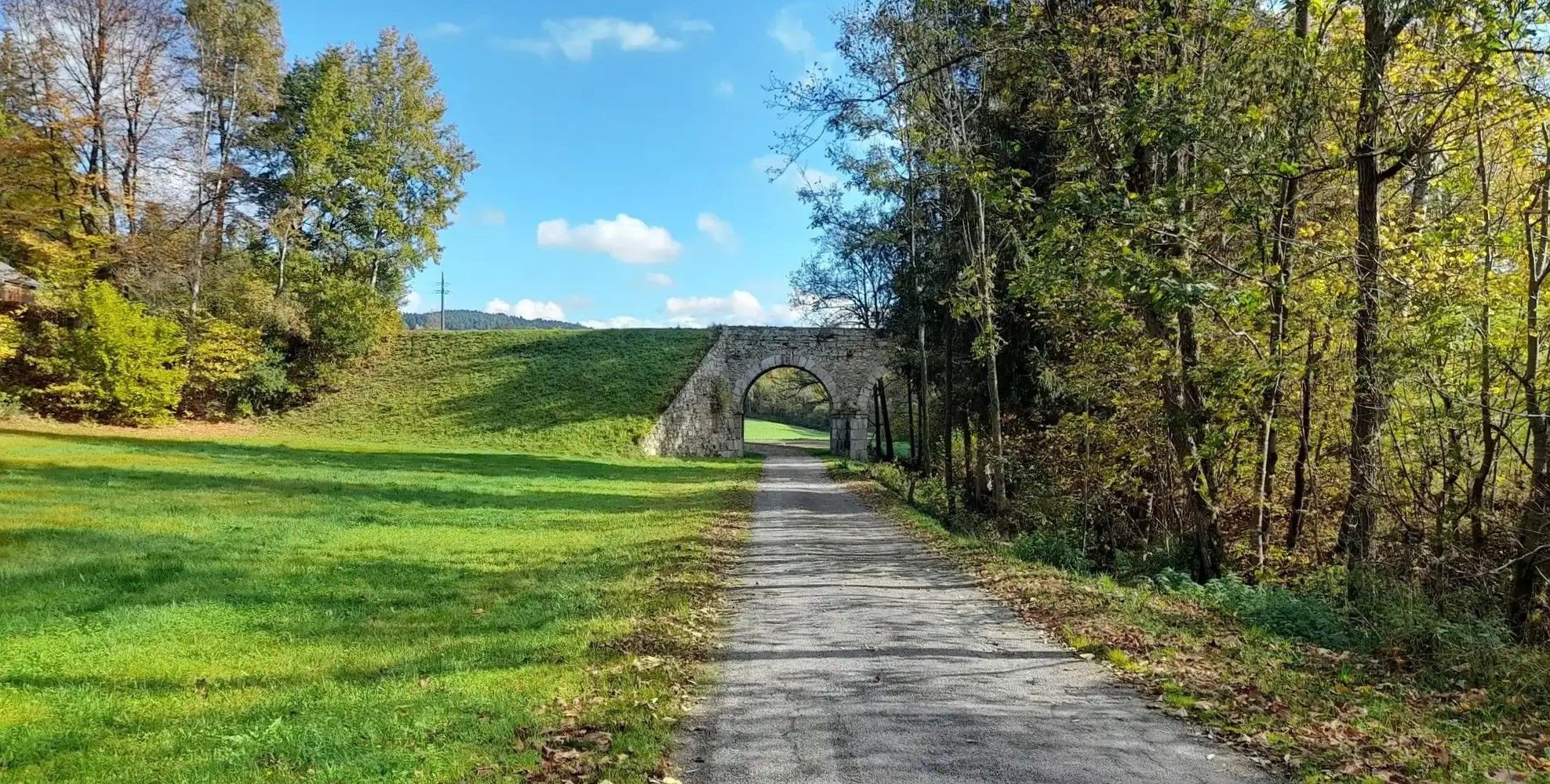
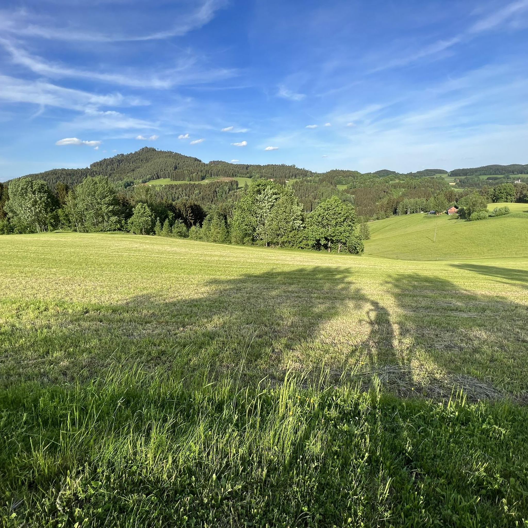
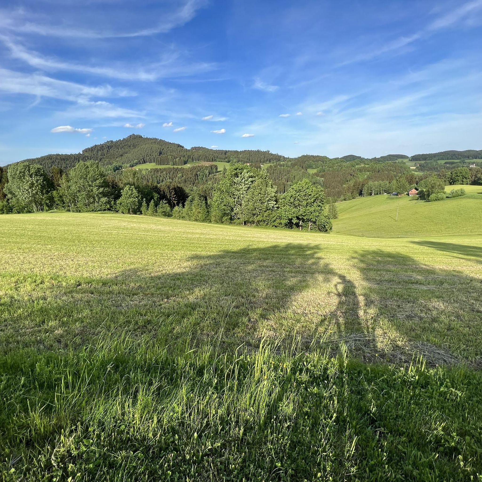
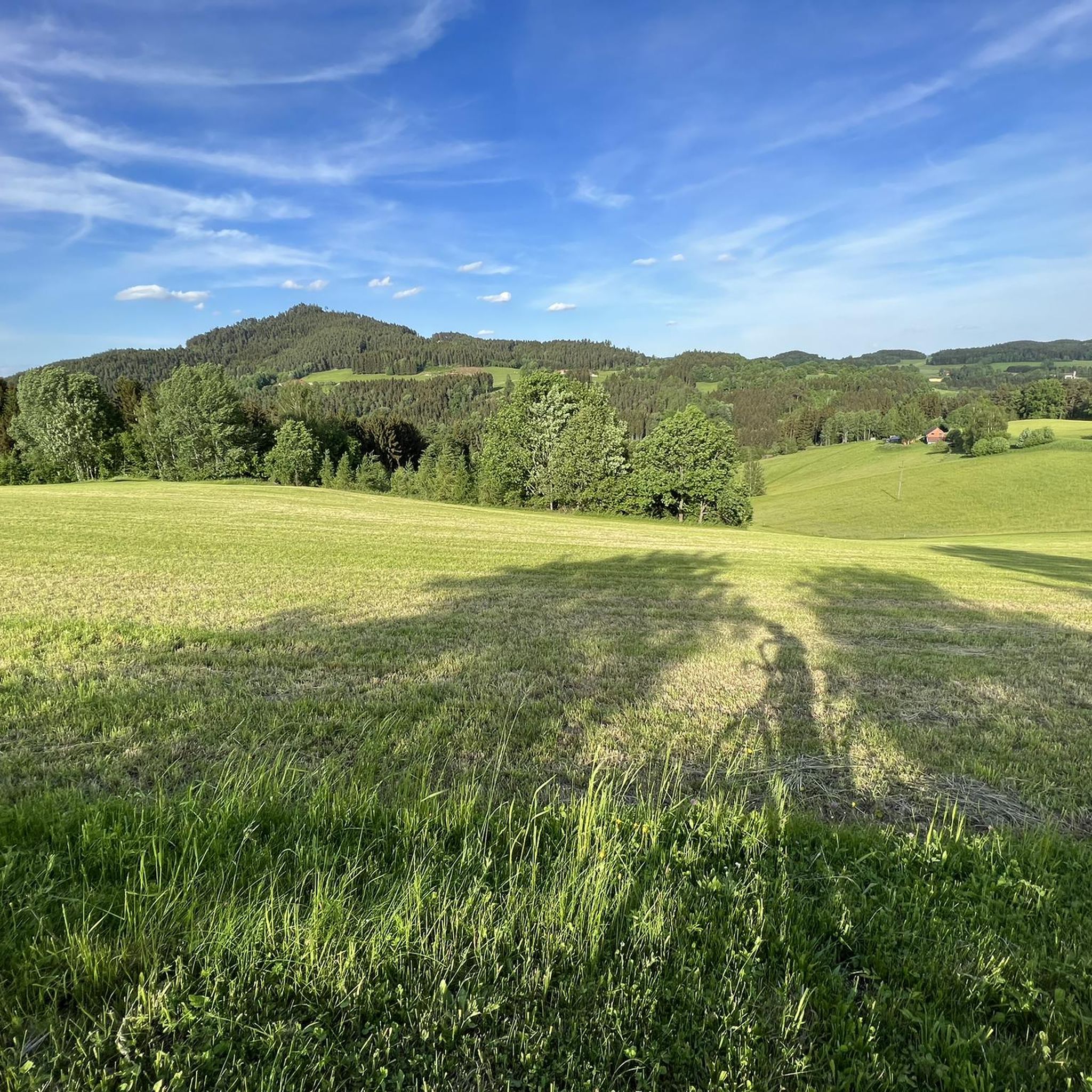

Other adventures around Neumarkt im Mühlkreis

Tips from the Community

View of Freistadt: only narrow - exactly through the window frame in the rear part of the site - continues to grow.
0
0

Church of St. Peter near Freistadt
0
0

A beer tasting is worthwhile, very good, different beers 🍻
0
0
no matter whether 🚴♂️ or 🚶♂️ always happy
0
0

Unfortunately, the Elzer Stub'n doesn't have a tenant yet. It's a shame:
0
0

Top beer with many different types of beer, great outdoor dining area and delicious food, be sure to stop by
0
0

Beautiful viewpoint with very interesting information. The perfect place for a well-deserved snack.
2
0

Because there is a nice cafe nearby!
0
0
Frequently Asked Questions
What kind of terrain can I expect on mountaineering routes around Neumarkt im Mühlkreis?
The mountaineering routes in Neumarkt im Mühlkreis traverse a diverse landscape characterized by rolling hills, pristine natural areas, and distinctive granite formations. You'll find yourself moving through forested valleys and open areas, with ascents that offer rewarding views of the Mühlviertel region.
Are there any mountain huts or places to stop for refreshments along the routes?
Yes, some routes include popular stops. For instance, the Buchberg – Braunberg Hut loop from Lasberg specifically includes a stop at the popular Braunberghütte. The Braunberghütte is a well-known mountain hut that offers refreshments and even overnight stays, making it a central point for those exploring the higher elevations of the region.
What are some notable natural landmarks or viewpoints I can discover while mountaineering here?
The region is rich in natural landmarks and viewpoints. You can explore prominent peaks like the Großer Zeißberg Summit, known for its tranquil atmosphere and expansive views. The Ura Stoa Summit is another highlight, featuring unique granite formations and wide-ranging vistas. Additionally, the Hoh-Haus at Buchberg Observation Tower offers excellent panoramic views.
Are there any historical sites or castles near the mountaineering trails?
Absolutely. The area around Neumarkt im Mühlkreis is dotted with historical sites. You might encounter impressive structures like Reichenstein Castle or the scenic Weinberg Castle. There are also fascinating ruins such as Reichenau Castle Ruins and Kronast Castle Ruins, offering a glimpse into the region's past.
What is the typical difficulty level of mountaineering routes in this area?
The mountaineering routes highlighted in this guide are generally considered moderate. They offer a good balance of challenge and accessibility, suitable for those with some hiking experience. While not high-alpine, they involve challenging ascents and varied terrain that make for a rewarding experience.
Can I find circular mountaineering routes around Neumarkt im Mühlkreis?
Yes, several routes are designed as loops, bringing you back to your starting point. For example, the Buchberg – Elzer Stub'n loop from Kefermarkt is a popular circular route, as is the Forest Shrine (Waldandacht) – Hiking map of Freistadt loop from Freistadt, which leads through beautiful forested areas.
What makes the geology of the Mühlviertel region unique for mountaineering?
The Mühlviertel is renowned for its distinctive granite geology. You'll encounter unique granite stones and formations known as 'Wollsacksteinen,' particularly around sites like the Ura Stoa Summit. These geological features not only add to the scenic beauty but also provide interesting challenges and points of exploration along the routes.
How long do the mountaineering routes typically take to complete?
The duration varies depending on the specific route and your pace. For instance, the Buchberg – Elzer Stub'n loop from Kefermarkt typically takes around 2 hours and 45 minutes, while the Buchberg – Braunberg Hut loop from Lasberg is a bit longer, usually completed in about 3 hours and 35 minutes. The Forest Shrine (Waldandacht) – Hiking map of Freistadt loop from Freistadt can be finished in approximately 2 hours and 11 minutes.
What do other mountaineers enjoy most about the routes in Neumarkt im Mühlkreis?
Mountaineers who have explored Neumarkt im Mühlkreis with komoot often highlight the region's varied terrain, which includes rolling hills, granite formations, and forested valleys. They appreciate the well-maintained trails and the rewarding views from the summits, making for a fulfilling outdoor experience.
Are there opportunities for sport climbing in the broader Mühlviertel region?
While the immediate Neumarkt im Mühlkreis area focuses on mountaineering hikes, the broader Mühlviertel region is known for its granite outcrops that offer sport climbing opportunities. These are typically found about thirty minutes away, often near Linz, with climbs usually around 20 meters high and mostly vertical, catering to those seeking a different kind of challenge.
What is the total number of mountaineering routes available in this guide?
This guide features 3 distinct mountaineering routes around Neumarkt im Mühlkreis, each offering a unique experience of the region's natural beauty and challenging terrain.
Most popular routes around Neumarkt im Mühlkreis
Most popular attractions around Neumarkt im Mühlkreis

Get inspired with the komoot mobile app


Explore more
Browse the best Mountain Hikes & Routes in other regions.
