The best running trails in Mount Revelstoke National Park
4.3
(3)
265
runners
16
runs
Jogging in Mount Revelstoke National Park offers routes through diverse ecosystems, from lush inland temperate rainforests to subalpine meadows and mountain peaks. The park features trails along the Columbia and Illecillewaet Rivers, providing varied terrain for runners. Elevations range from riverside paths to more challenging ascents leading to alpine lakes and viewpoints. This variety ensures options for different ability levels, from moderate riverside loops to more challenging mountain trails.
Best jogging routes in Mount Revelstoke National Park
- The most popular…
Last updated: October 4, 2026
55
runners
14.5km
01:40
430m
430m
Hard run. Very good fitness required. Mostly paved surfaces. Suitable for all skill levels.
31
runners
5.73km
00:36
20m
20m
Moderate run. Good fitness required. Mostly paved surfaces. Suitable for all skill levels.

8
runners
10.1km
01:04
50m
50m
Moderate run. Good fitness required. Mostly paved surfaces. Suitable for all skill levels.
5
runners
Moderate run. Good fitness required. Mostly paved surfaces. Suitable for all skill levels.
42
runners
Moderate run. Good fitness required. Mostly paved surfaces. Suitable for all skill levels.
Get access to more routes and recommendations from other explorers.
Already have an account?
Our route recommendations are based on thousands of hikes, rides, and runs completed by other people on komoot.
Start today with a free account
Your next adventure awaits.
Popular around Mount Revelstoke National Park
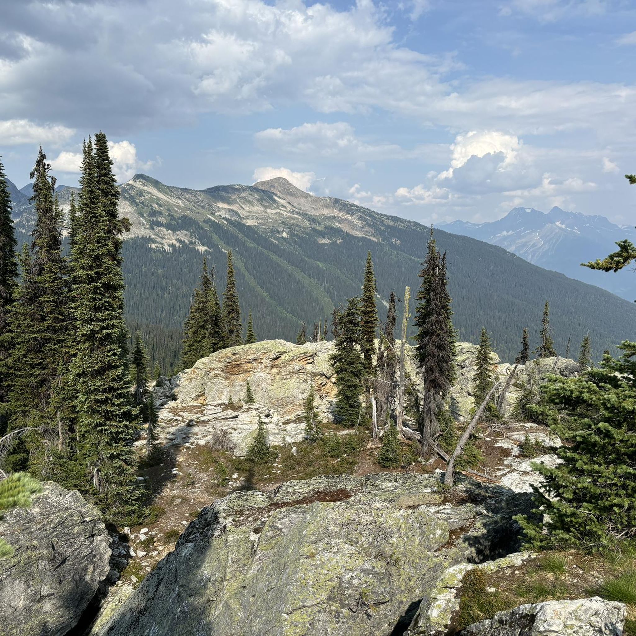
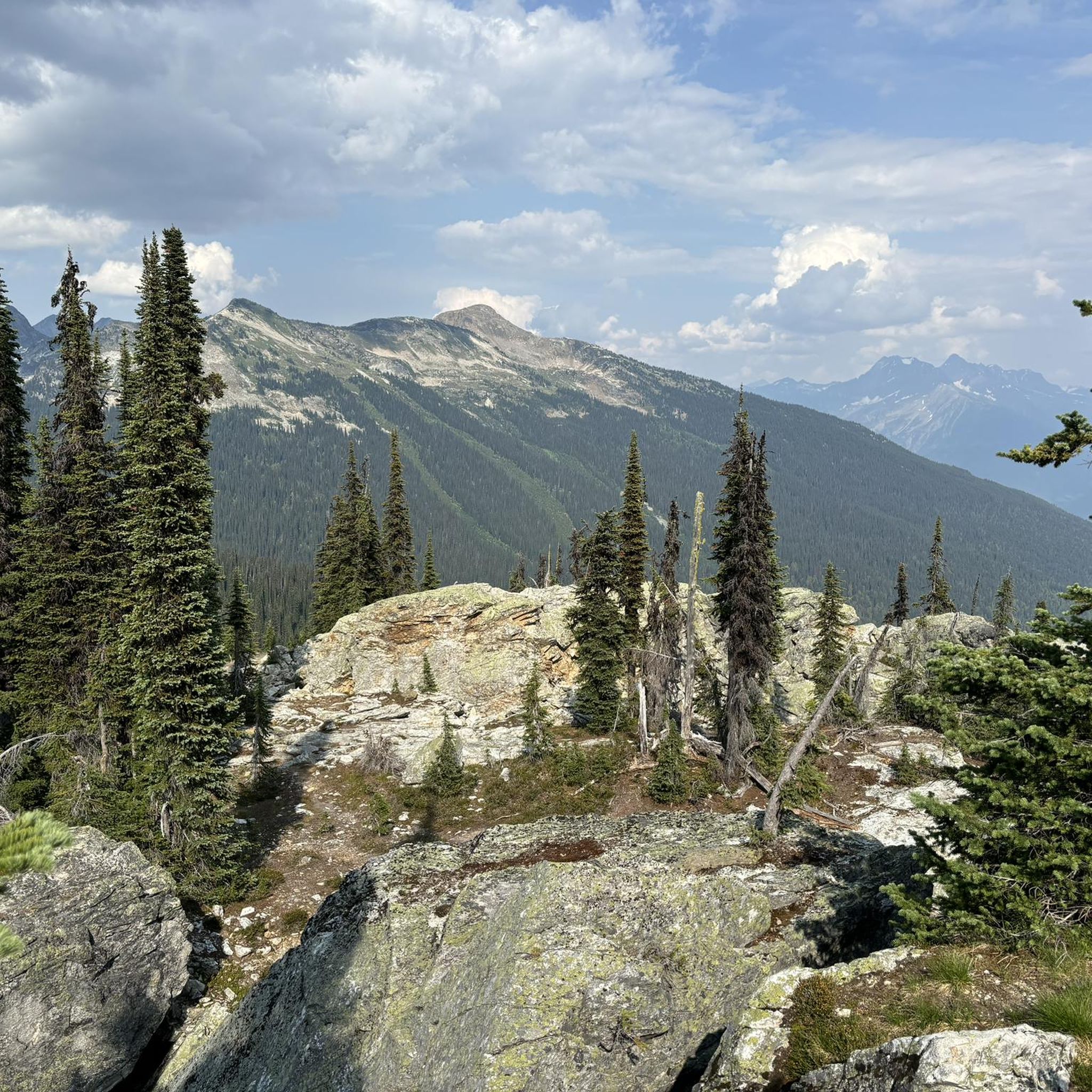
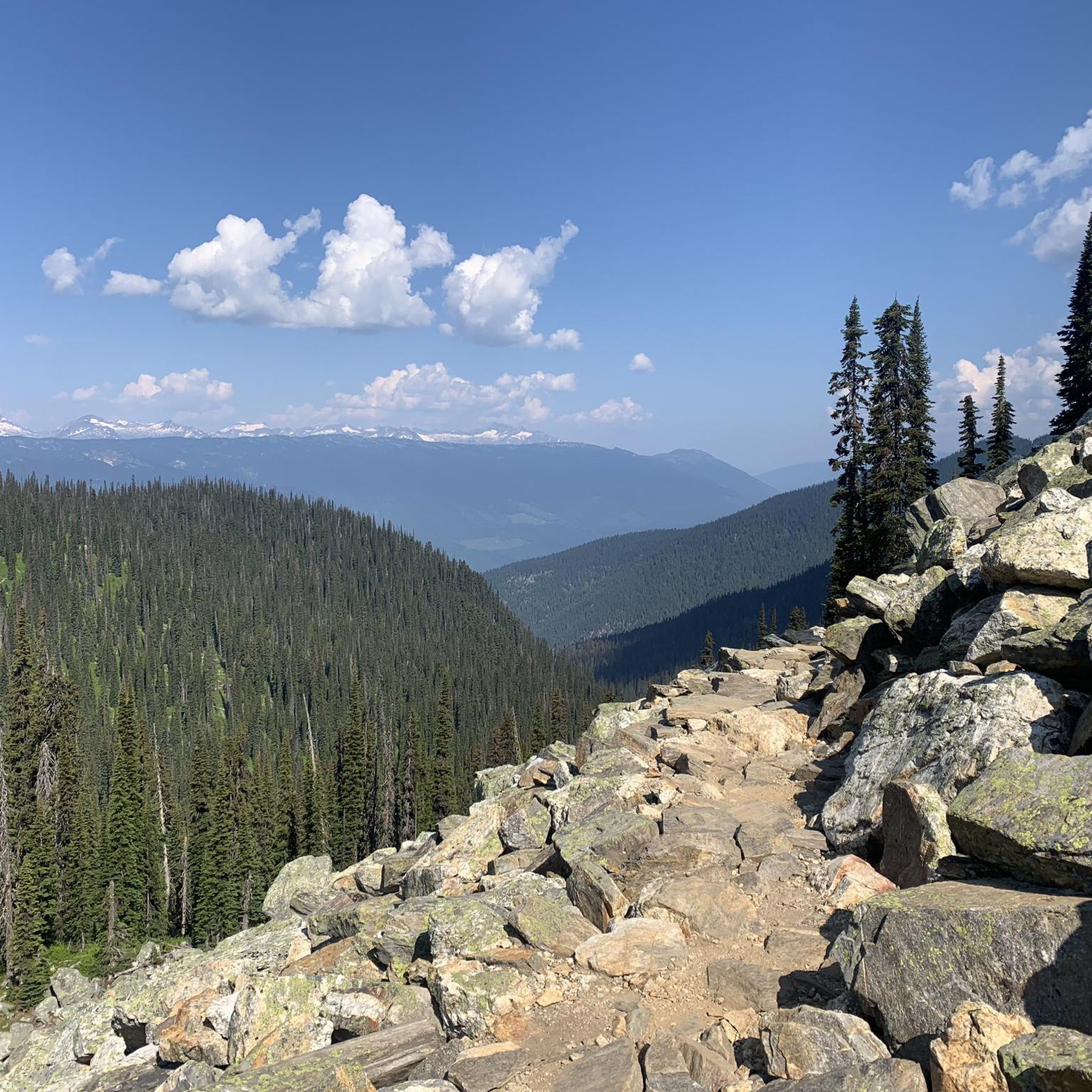
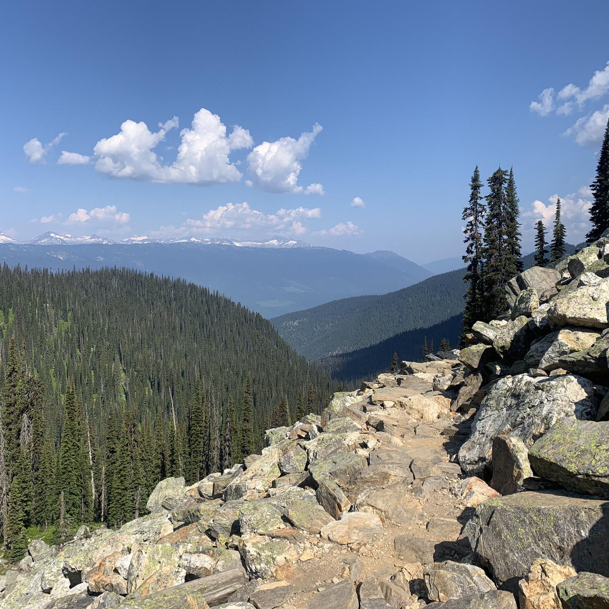
Tips from the Community


The Illecillewaet River flows 62 kilometers before meeting the Columbia River. The turquoise color comes from glaciers at the river's starting point at Rogers Pass. This river is home to rainbow trout, bull trout, and mountain whitefish, and the all-important beavers, building dams along its course.
0
0
The Marc Kingsbury Memorial Bridge is a pedestrian and cycling bridge spanning the Illecillewaet River, connecting downtown Revelstoke to the Illecillewaet Greenbelt and trails on the river’s south side. It was named after Marc Kingsbury, a beloved Revelstoke resident and outdoor enthusiast who passed away in a kayaking accident. Stop in the middle of the Marc Kingsbury Bridge on clear evenings and watch Mount Begbie glow pink with alpenglow, and in the spring.
1
0
The Illecillewaet Greenbelt runs through cottonwood and spruce forests and marshland, offering great riverside views. The trail is wide and well-maintained, open to walking, jogging, cycling, dog walking, birdwatching, photography, cross-country skiing, or snowshoeing in winter. The greenbelt creates easy access downtown for dining and shopping.
2
0
The Columbia River flows through Revelstoke and is surrounded by dramatic mountain scenery with views of Mount Begbie and the Selkirk Mountains. This stretch of the river is heavily controlled by dams and reservoirs and provides power through the Columbia Basin hydro system. Animals such as bald eagles, ospreys, and herons call this river home.
0
0

We used komoot as a guide. However, part of the road was flooded that day. Not all paths are always accessible.
0
0
Frequently Asked Questions
What types of running routes can I find in Mount Revelstoke National Park?
Mount Revelstoke National Park offers a diverse range of running routes, from easy, paved riverside paths to challenging mountain trails. You can jog through lush inland temperate rainforests, subalpine meadows, and along the Columbia and Illecillewaet Rivers. The park features routes suitable for various fitness levels, with options for both moderate and difficult runs.
Are there any easy or beginner-friendly running trails in Mount Revelstoke National Park?
Yes, there are several moderate routes that are great for beginners or those looking for an easier run. The Columbia River – Illecillewaet Greenbelt loop from Revelstoke is a 5.7 km trail offering riverside views through cottonwood and spruce forests. Another good option is the Columbia River – Marc Kingsbury Memorial Bridge loop from Revelstoke, a 10.9 km path with scenic riverside running and mountain backdrops.
What are some challenging running routes for experienced runners in the park?
For experienced runners seeking a challenge, the park offers more strenuous options. The Heather Lake – Eva Lake loop from Balsam Lake is a difficult 14.5 km trail with significant elevation gain, requiring very good fitness. These higher elevation trails are typically accessible from mid-July through September when snow-free.
Are there any circular running routes in Mount Revelstoke National Park?
Yes, many of the popular running routes in the park are loops. Examples include the Columbia River – Illecillewaet Greenbelt loop from Revelstoke (5.7 km), the Columbia River – Marc Kingsbury Memorial Bridge loop from Revelstoke (10.9 km), and the Illecillewaet River loop from Revelstoke (10.1 km). These provide varied scenery without retracing your steps.
What natural features or landmarks can I see while running in Mount Revelstoke National Park?
The park is rich in natural beauty. Along your runs, you might encounter the rare inland temperate rainforest with towering Western Red Cedar and Hemlock trees, lush moss, and ferns. Higher elevation routes offer stunning views of the Columbia River, Mount Begbie, and the Selkirk Mountains, as well as turquoise-blue alpine lakes like Eva Lake and Miller Lake. The Giant Cedars Boardwalk also provides a peaceful experience through an ancient forest.
What is the best time of year to go running in Mount Revelstoke National Park?
The best time for running in Mount Revelstoke National Park largely depends on the elevation. Lower elevation trails, like those along the Columbia and Illecillewaet Rivers, are often accessible year-round. For higher elevation routes and subalpine meadows, the ideal time is typically from mid-July through September when the trails are snow-free and wildflowers are in bloom. Always check current trail conditions before heading out.
Are there any running routes suitable for families with children?
While specific 'family-friendly' running routes aren't explicitly designated, many of the easier, flatter loops along the rivers, such as the Columbia River – Illecillewaet Greenbelt loop, are suitable for families looking for a gentle jog or walk. The Giant Cedars Boardwalk, though more of a walk, is also an accessible option for all ages.
Can I bring my dog on the running trails in Mount Revelstoke National Park?
Mount Revelstoke National Park has specific regulations regarding pets. Dogs are generally permitted on designated trails and in certain areas, but must always be on a leash. It's crucial to check the official Parks Canada website or local signage for the most up-to-date rules on pet access for specific trails to ensure compliance and wildlife safety.
Do I need a permit to go running in Mount Revelstoke National Park?
Yes, a valid Parks Canada pass or daily entry fee is required to access Mount Revelstoke National Park, which covers activities like running and hiking. You can purchase these passes at the park entrance or online through the Parks Canada website.
What do other runners say about their experience in Mount Revelstoke National Park?
The running routes in Mount Revelstoke National Park are highly rated by the komoot community, with an average score of 4.0 stars from 2 reviews. Over 200 runners have used komoot to explore the park's varied terrain, often praising the scenic riverside views, the unique rainforest environment, and the diverse options for different ability levels.
Are there any cafes or places to eat near the running trails?
Mount Revelstoke National Park itself has limited services within the park boundaries. However, the nearby town of Revelstoke, which serves as a gateway to the park, offers a variety of cafes, restaurants, and pubs where you can refuel before or after your run. Many of the popular riverside running routes are easily accessible from Revelstoke.
Is public transport available to access the running routes in Mount Revelstoke National Park?
While there isn't extensive public transport directly into the park's trailheads, the town of Revelstoke is the primary access point. From Revelstoke, you would typically need a personal vehicle or a taxi service to reach specific trailheads within the park, especially those along the Meadows in the Sky Parkway. Some riverside routes are accessible directly from Revelstoke.
Are there any waterfalls to see along the running routes?
Yes, the park's diverse landscape includes waterfalls. You can find Broken Bridge Waterfall, which can be a point of interest during your exploration of the park's trails. Always check trail maps for specific locations and accessibility.
Most popular routes in Mount Revelstoke National Park
Most popular attractions in Mount Revelstoke National Park

Get inspired with the komoot mobile app


Explore more
Browse the best Running Trails & Routes in other regions.
