The best walks and hikes in Mount Revelstoke National Park
4.3
(323)
2,394
hikers
13
hikes
Hiking in Mount Revelstoke National Park offers diverse experiences, transitioning from lush valley bottoms to subalpine and alpine environments. The park is characterized by its unique inland temperate rainforest, featuring ancient Western Red Cedar and Western Hemlock trees. Higher elevations reveal vibrant alpine meadows and towering peaks of the Selkirk Mountains, with crystal-clear mountain lakes and waterfalls adding to the varied terrain.
Best hiking trails in Mount Revelstoke National Park
- The most popular hiking route is Giant Cedars Boardwalk Trail loop, a 0.3 miles (0.4 km) trail that takes 7 minutes to complete. This easy boardwalk path winds through an ancient inland temperate rainforest.
- Another top favourite among local hikers is Miller Lake – Eva Lake loop from Balsam Lake, a difficult 11.4 miles (18.3 km) path. This challenging route leads through alpine meadows to scenic mountain lakes, offering expansive views.
- Local hikers also love the Mount Revelstoke – Mount Revelstoke Fire Lookout loop from Balsam Lake, a 2.6 miles (4.2 km) trail leading through forests and meadows, often completed in about 1 hour 11 minutes.
- Hiking in Mount Revelstoke National Park is defined by inland temperate rainforests, vibrant alpine meadows, and rugged mountain peaks. The network offers options for various ability levels, from short, easy walks to challenging day hikes.
- The routes in Mount Revelstoke National Park are highly rated by the komoot community with an average score of 4.5 stars from over 260 reviews. More than 1900 hikers have used komoot to explore Mount Revelstoke National Park's varied terrain.
Last updated: October 8, 2026
4.7
(6)
68
hikers
1.78km
00:37
100m
100m
Easy hike. Great for any fitness level. Easily-accessible paths. Suitable for all skill levels.
1
hikers
421m
00:08
20m
20m
Easy hike. Great for any fitness level. Easily-accessible paths. Suitable for all skill levels.

4.9
(107)
857
hikers
18.6km
05:40
630m
630m
Hard hike. Very good fitness required. Easily-accessible paths. Suitable for all skill levels.
4.8
(51)
387
hikers
Easy hike. Great for any fitness level. Easily-accessible paths. Suitable for all skill levels.
4.6
(36)
161
hikers
9.74km
02:51
270m
270m
Moderate hike. Good fitness required. Easily-accessible paths. Suitable for all skill levels.
Get access to more routes and recommendations from other explorers.
Already have an account?
Our route recommendations are based on thousands of hikes, rides, and runs completed by other people on komoot.
Start today with a free account
Your next adventure awaits.
Popular around Mount Revelstoke National Park
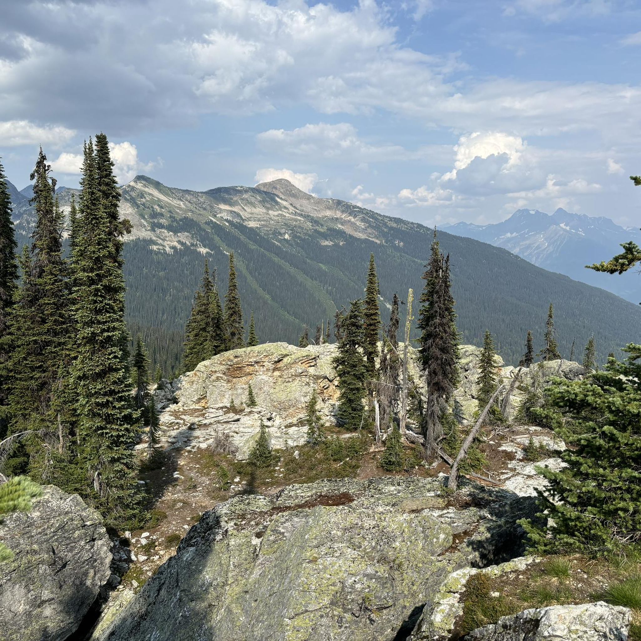
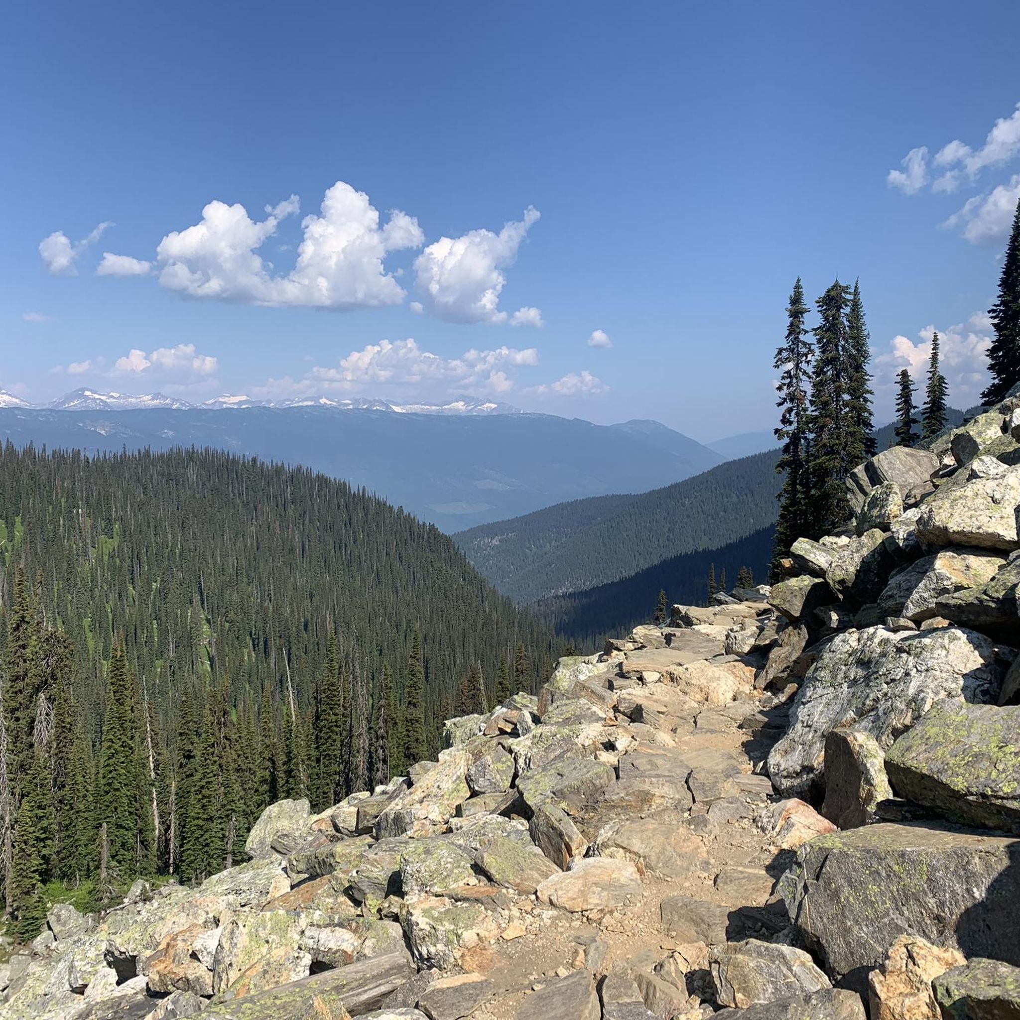
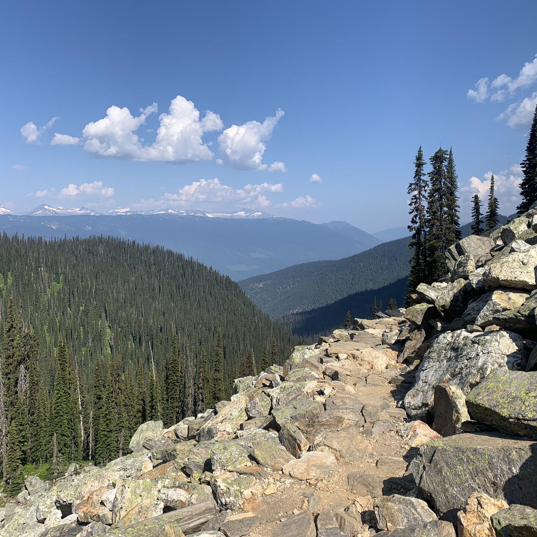
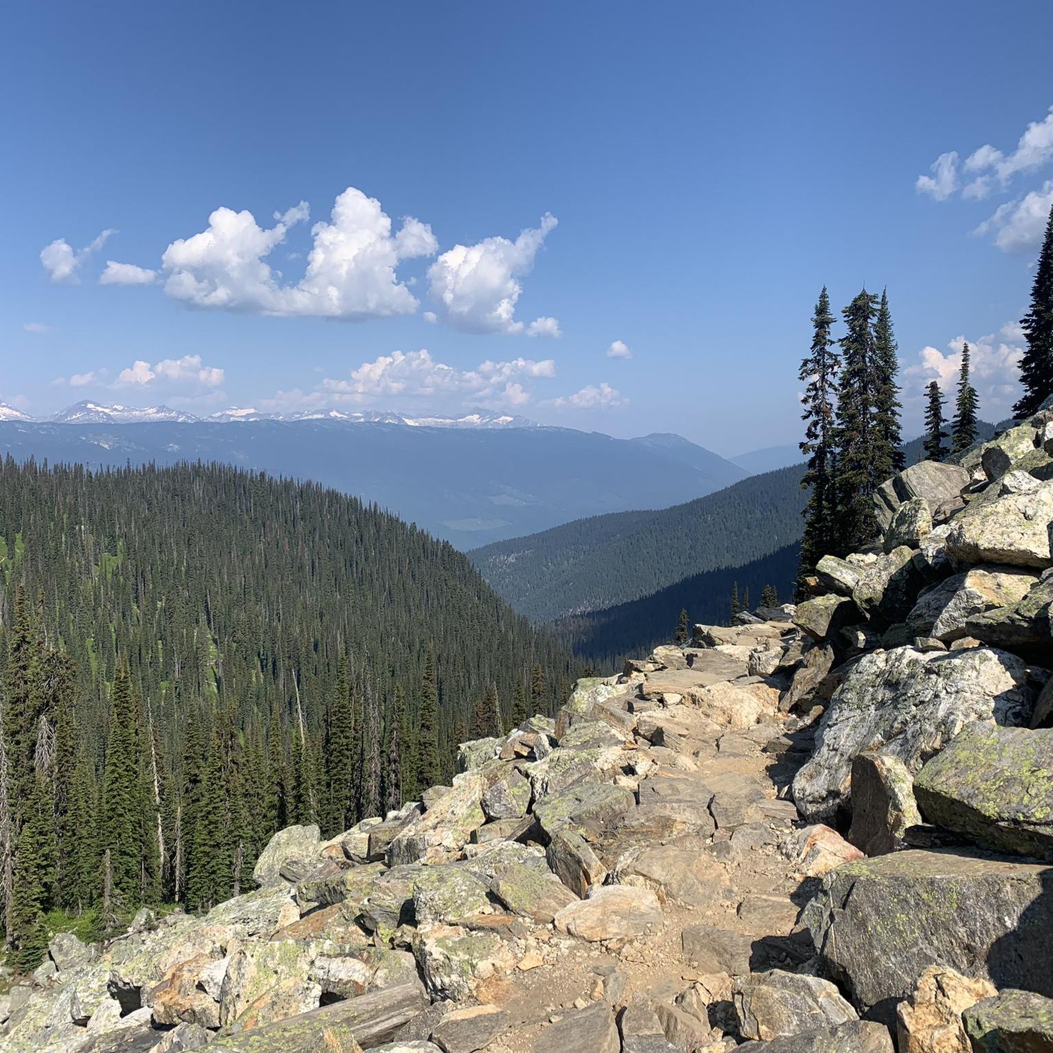
Tips from the Community

The Broken Bridge Trail is a very pleasant nature walk ending in a waterfall. It was closed for about 25 years but has since reopened. There is limited parking along the Meadiws-in-the-Sky Parkway, and from there you can walk to the trailhead, which is on the edge of the forest off the road. The trail itself is short but beautiful, forested hike with a great view of the waterfall at the end.
1
0

The Giant Cedars Boardwalk in Mount Revelstoke National Park is open during the snow-free times of the year. The trail itself is quite short, just 500 meters, looping back to the parking area. The entire trail is a boardwalk through a rare inland temperate rainforest. The massive Western Red Cedars are over 500 years old, towering above the surrounding Western Hemlock, Douglas Fir, and Devil’s Club.
1
0
There are so many 500+ year-old western red cedars and hemlocks to explore on this trail, but two are close together right on the sides of the boardwalk. The boardwalk has been cut to accommodate the trees, and it has become a very popular photo opportunity: standing between these two trees, capturing this towering height with a little human for reference.
0
0
The Giant Cedars Boardwalk Trailhead has restrooms, picnic benches, and trashcans as well as parking, but heads up, this parking area can get busy during peak season.
0
0

Short nature trail with some nice views down on Revelstoke.
0
1
The bridge has been closed for more than 25 years but the short section of the former Hamilton Creek Trail have some beautiful views and interesting things along the way.
0
0

You have to climb a bit on the Summit Trail to get good views
0
0
Frequently Asked Questions
How many hiking trails are available in Mount Revelstoke National Park?
Mount Revelstoke National Park offers a diverse network of around 13 hiking trails. These range from short, easy boardwalks through ancient forests to challenging day hikes into alpine environments.
What is the best time of year to go hiking in Mount Revelstoke National Park?
The prime hiking season for Mount Revelstoke National Park is generally from early July to mid-September, when most high-elevation trails are snow-free. Lower elevation trails are also popular in spring and fall. Winter offers opportunities for snowshoeing.
Are there any easy, family-friendly hikes in the park?
Yes, Mount Revelstoke National Park has several easy trails suitable for families. The Giant Cedars Boardwalk Trail loop is a short, accessible path through an ancient inland temperate rainforest. The Skunk Cabbage Trail is another excellent option, offering a boardwalk experience through a lush wetland with interpretive signs, ideal for birdwatching.
What kind of natural features and landmarks can I expect to see on the trails?
Hikers can experience a wide array of natural features. You'll find ancient inland temperate rainforests with towering cedars, vibrant alpine meadows bursting with wildflowers in summer, and dramatic mountain views. Notable landmarks include the Giant Cedars Boardwalk, picturesque Eva Lake and Miller Lake, and the charming Broken Bridge Waterfall.
Are there any loop trails in Mount Revelstoke National Park?
Yes, there are several loop trails available. For an easy experience, consider the Giant Cedars Boardwalk Trail loop. A more challenging option is the Miller Lake – Eva Lake loop from Balsam Lake, which takes you through alpine meadows to scenic mountain lakes. Another popular loop is the Mount Revelstoke – Mount Revelstoke Fire Lookout loop from Balsam Lake.
What are the different difficulty levels for hiking trails in the park?
Mount Revelstoke National Park offers trails for all skill levels. There are 7 easy trails, 4 moderate trails, and 2 difficult trails. This variety ensures that both casual walkers and experienced hikers can find suitable routes.
What do other hikers enjoy most about Mount Revelstoke National Park?
The area is highly rated by the komoot community, with an average score of 4.5 stars from over 260 reviews. Reviewers often praise the park's diverse landscapes, from the unique inland temperate rainforests to the stunning alpine meadows and panoramic mountain views. The well-maintained trails and the opportunity to experience different ecosystems are frequently highlighted.
Can I access higher elevation trails easily?
Many higher elevation trails are made more accessible via the Meadows in the Sky Parkway. This scenic road climbs 1600 meters over 26 kilometers, allowing hikers to reach subalpine and alpine environments with less initial ascent, providing access to numerous short walking paths at its summit.
What kind of wildlife might I encounter while hiking?
Mount Revelstoke National Park is home to diverse wildlife. Hikers might spot larger mammals such as grizzly bears, black bears, mountain goats, caribou, and moose, as well as a variety of smaller mammals and birds. Always be aware of your surroundings and follow park guidelines for wildlife encounters.
Are there any trails that feature waterfalls?
Yes, you can find waterfalls within the park. The Broken Bridge Waterfall is a charming feature accessible via a short trail through forested slopes. Additionally, Begbie Falls, located just south of Revelstoke, is another notable waterfall in the broader area.
Is there parking available at the trailheads?
While specific parking details for every trailhead are not provided, Mount Revelstoke National Park is designed for visitor access. Parking is generally available at key access points, including along the Meadows in the Sky Parkway for higher elevation trails and at the start of popular routes like the Giant Cedars Boardwalk.
Most popular routes in Mount Revelstoke National Park
Most popular attractions in Mount Revelstoke National Park

Get inspired with the komoot mobile app


Explore more
Browse the best Hikes in other regions.
