The best gravel rides in Las Trampas Regional Wilderness
3.7
(4)
47
riders
11
rides
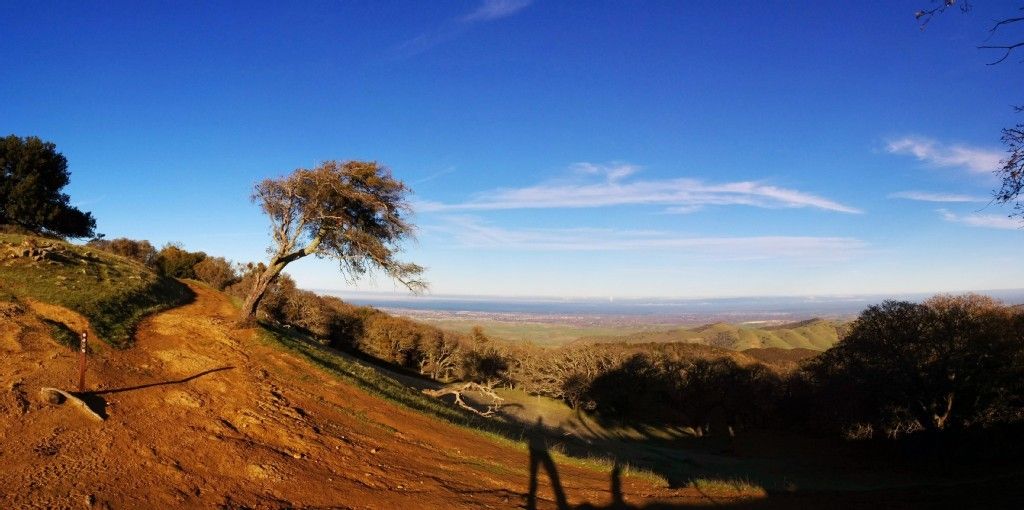
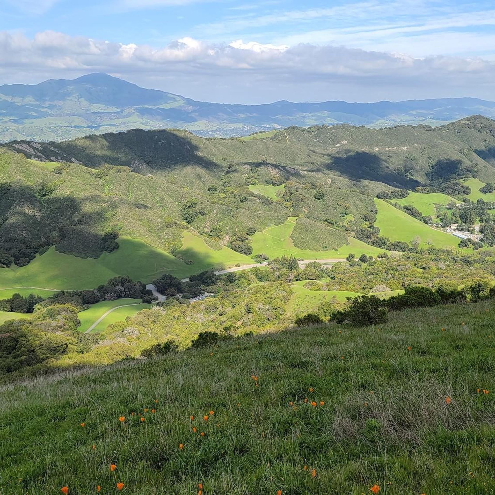
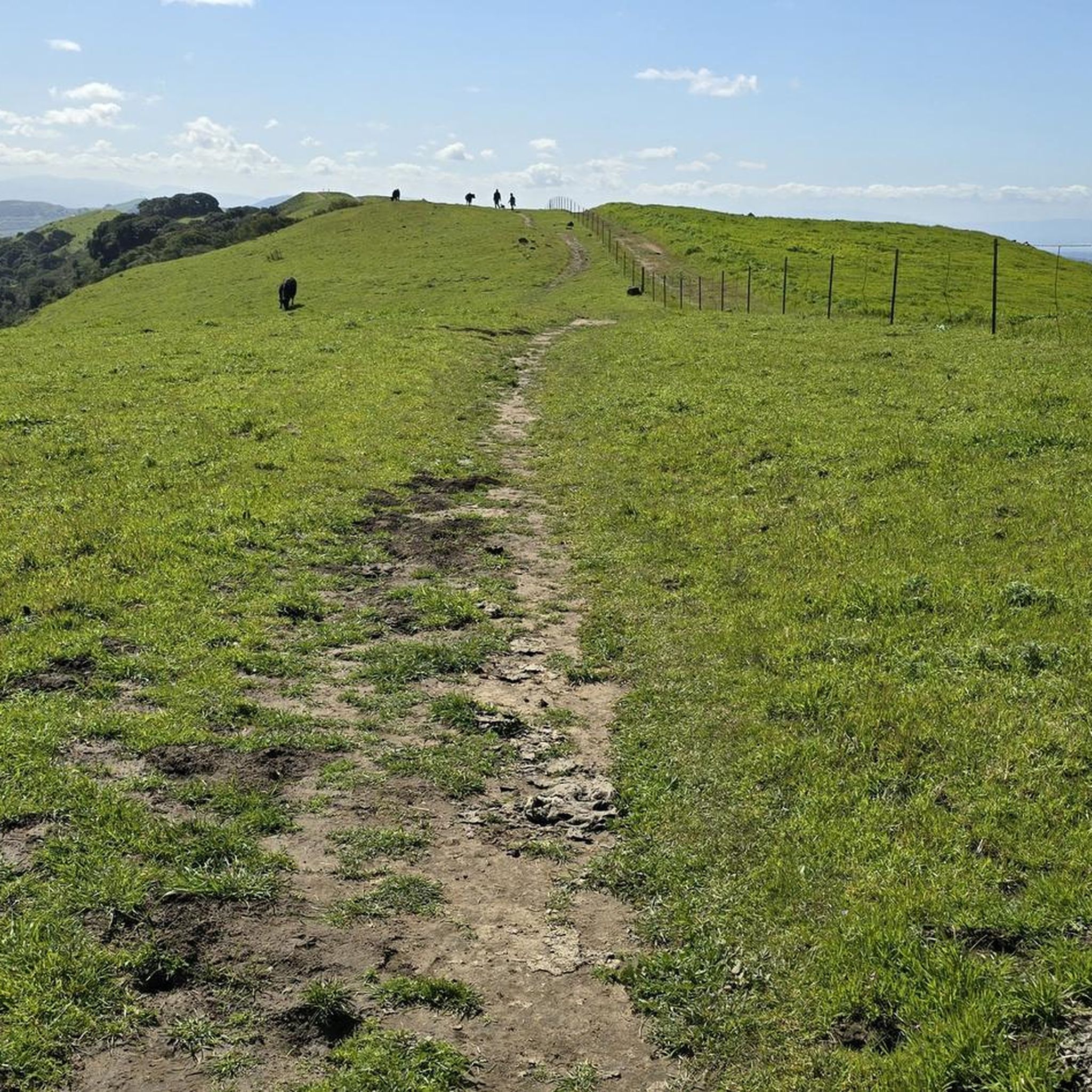
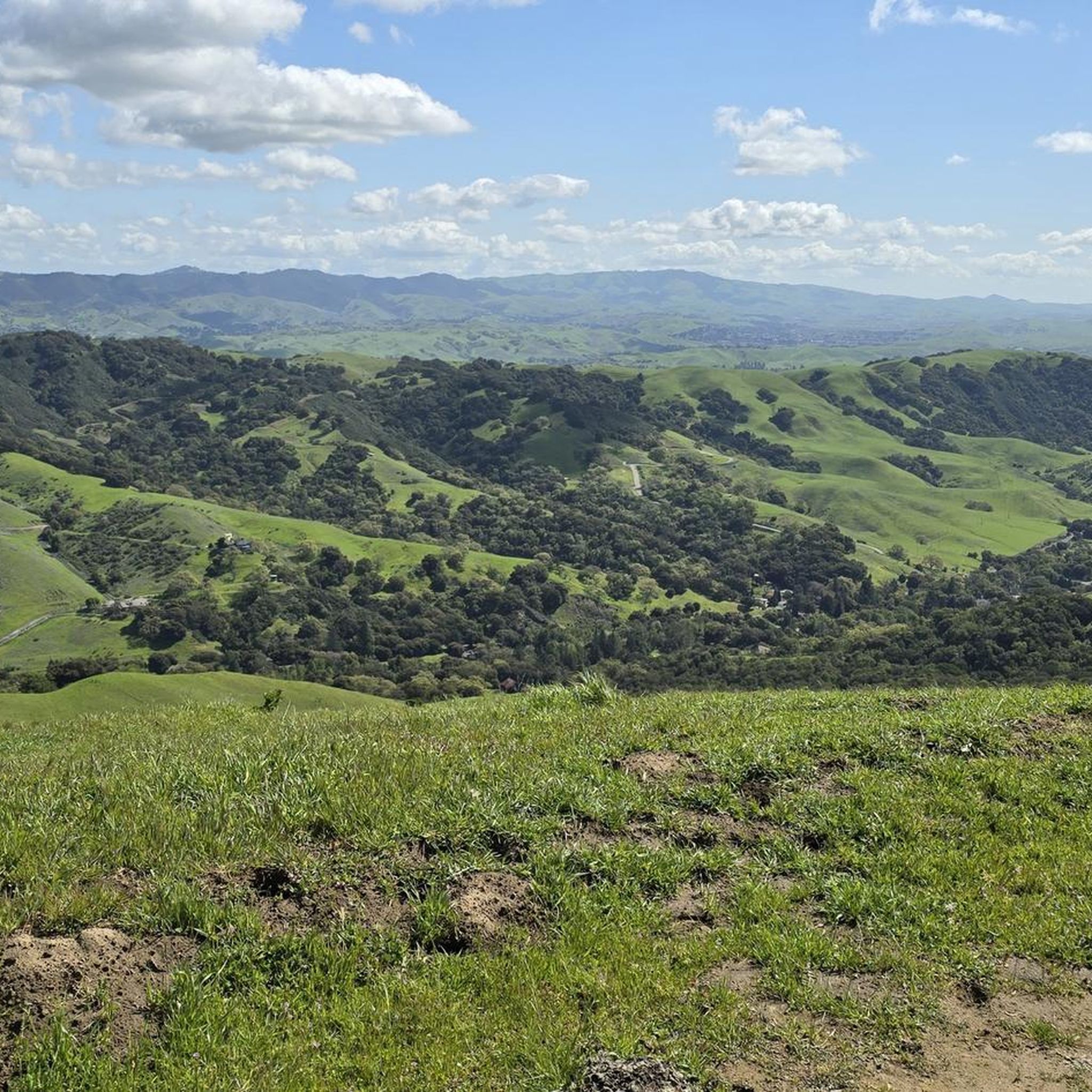
Gravel biking in Las Trampas Regional Wilderness offers a challenging experience across a rugged and hilly landscape. The area is characterized by significant elevation changes, with two prominent ridges, Las Trampas Ridge and Rocky Ridge, flanking Bollinger Creek. The terrain includes a mix of oak woodlands, open grasslands, and chaparral, with numerous unpaved fire roads suitable for gravel biking. These features provide panoramic views of the San Ramon Valley and Mount Diablo.
Best gravel bike trails in Las Trampas Regional…
Last updated: November 2, 2026
3.0
(1)
13
riders
54.6km
03:53
1,120m
1,120m
Hard gravel ride. Very good fitness required. Mostly paved surfaces.
14
riders
33.9km
02:30
600m
600m
Hard gravel ride. Very good fitness required. Mostly paved surfaces.

5.0
(2)
8
riders
44.2km
03:16
820m
820m
Hard gravel ride. Very good fitness required. Mostly paved surfaces.
3.0
(1)
4
riders
28.3km
01:52
320m
320m
Moderate gravel ride. Good fitness required. Mostly paved surfaces.
8
riders
21.2km
01:27
340m
340m
Moderate gravel ride. Good fitness required. Mostly paved surfaces.
Get access to more routes and recommendations from other explorers.
Already have an account?
Our route recommendations are based on thousands of hikes, rides, and runs completed by other people on komoot.
Start today with a free account
Your next adventure awaits.
Popular around Las Trampas Regional Wilderness
Other adventures in Las Trampas Regional Wilderness

Tips from the Community

Valle Vista is the trailhead for the paved Lafayette-Moraga Regional Trail, a popular rail-trail for cyclists. There’s a restroom here, but note: the EBMUD dirt trails are hiking-only and require a permit. The bike trail has been officially closed between here and Moraga since a 2019 landslide.
0
0

This trailhead begins at the Contra Costa Canal Trail junction. Most of the trail runs along the Ygnacio Canal, where you'll likely see plenty of ducks who inhabit the area. Most of the trail is paved, however, there is an unpaved section near Ygnacio Valley Rd.
0
0

The Iron Horse Trail is a 32-mile multi-path that connects the towns of Concord and Pleasanton. It follows the route of the abandoned Southern Pacific Railroad. With its access to schools, business centers, and parks, the path is popular with commuters and recreationalists.
1
0
The Iron Horse Trail is a 32-mile multi-path that connects the towns of Concord and Pleasanton. It follows the route of the abandoned Southern Pacific Railroad. With its access to schools, business centers, and parks, the path is popular with commuters and recreationalists.
0
0

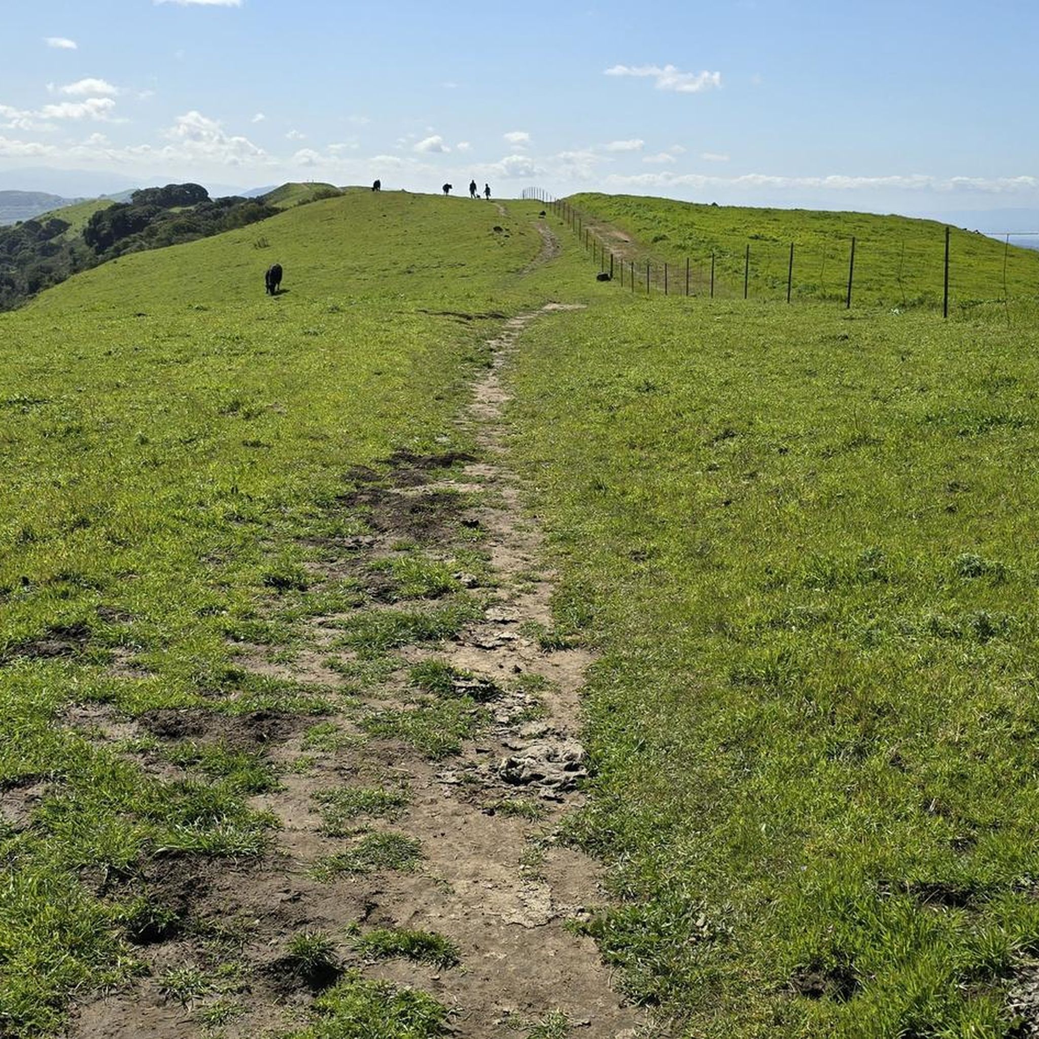
it's a dirt fire road you can see people, hikers, joggers, and other bike riders on. usually in good condition.
0
0
This charming lake sits along the Ygnacio Canal Trail at Heather Farm Park. The park features two lakes, open grassy areas, playgrounds, picnic tables, and other facilities. The lake and surrounding areas are a great spot to take a break while cycling the Ygnacio Canal Trail.
0
0

A natural lake, mostly used for fishing, that has the paved Ygnacio Canal Trail on the west side and some unpaved trails along the east.
0
0

Gravel at its best. This road is a paradise for gravel bikers and novices on a mountain bike.
0
0
Frequently Asked Questions
How challenging are the gravel bike trails in Las Trampas Regional Wilderness?
Gravel biking in Las Trampas Regional Wilderness is generally challenging, characterized by significant elevation changes and steep climbs. Many fire roads have grades exceeding 20%, requiring very good fitness. Out of the 8 available routes, 5 are rated as difficult and 3 as moderate, with no easy trails available.
What scenic viewpoints or natural features can I expect to see?
The wilderness offers panoramic views from its ridges, including Las Trampas Ridge, overlooking the San Francisco Bay, Mount Diablo, and the Livermore Valley. You might also encounter unique geological formations like 'Wind Caves' and diverse landscapes ranging from oak woodlands to open grasslands. Other notable points include Eagle Peak and the View from Las Trampas Peak.
When is the best time of year to go gravel biking in Las Trampas Regional Wilderness?
Spring is a particularly beautiful time to visit, as the hillsides burst with vibrant wildflowers. However, the park's trails can be strenuous year-round. Be prepared for hot, dry conditions on western slopes during warmer months.
Are there any easy or family-friendly gravel bike trails in Las Trampas Regional Wilderness?
Las Trampas Regional Wilderness is known for its rugged and challenging terrain, with significant elevation changes. The available gravel bike routes are rated as either moderate or difficult, meaning there are no easy or family-friendly options suitable for beginners or young children directly within the wilderness area.
Do I need any special permits to go gravel biking in Las Trampas Regional Wilderness?
There is no specific mention of permits required for gravel biking in Las Trampas Regional Wilderness. However, it's always advisable to check the official East Bay Regional Park District website for the most current regulations before your visit.
What kind of wildlife might I encounter on the trails?
The park is home to a variety of wildlife, including deer, raccoons, foxes, coyotes, and bobcats. Birdwatchers can spot numerous species, such as hawks and occasionally golden eagles, soaring overhead. Keep an eye out, especially during quieter times of day.
Are there many loop trails for gravel biking in the area?
Creating meaningful loops solely within the park's bike-legal trails can be difficult due to the challenging terrain and specific trail access rules. Longer rides often incorporate suburban streets and the paved Iron Horse Regional Trail to complete a circuit, offering a mix of surfaces.
How many gravel bike trails are available in Las Trampas Regional Wilderness?
There are 8 gravel bike trails available in Las Trampas Regional Wilderness, offering a range of challenging experiences for riders. These include 3 moderate and 5 difficult routes.
What do other gravel bikers say about the trails in Las Trampas Regional Wilderness?
The gravel bike routes in Las Trampas Regional Wilderness are highly rated by the komoot community, with an average score of 4.0 stars from over 3 reviews. Riders often praise the dramatic scenery, challenging climbs, and the satisfaction of conquering the steep terrain. Over 39 gravel bikers have used komoot to explore this varied landscape.
Are there any routes that offer a mix of paved and unpaved sections?
Yes, some longer gravel bike routes in Las Trampas Regional Wilderness often incorporate sections of suburban streets and the paved Iron Horse Regional Trail to create more extensive loops. An example is the Iron Horse Trail – Iron Horse Trail bridge loop from Walnut Creek, which combines different surfaces.
What is the typical elevation gain on these gravel bike trails?
The gravel bike trails in Las Trampas Regional Wilderness feature substantial elevation gain, reflecting the park's rugged topography. For instance, the Lafayette – Las Trampas Creek bridge loop from Saranap includes over 630 meters of ascent, while the Wall Pt. Road – Mount Diablo Scenic Boulevard loop from Alamo has over 470 meters of climbing.
Can I bring my dog on the gravel bike trails?
While Las Trampas Regional Wilderness is generally dog-friendly for hikers, specific regulations for dogs on bike-legal trails can vary. It's best to check the East Bay Regional Park District's official guidelines regarding pets on trails to ensure compliance.
Most popular routes in Las Trampas Regional Wilderness
Most popular attractions in Las Trampas Regional Wilderness

Get inspired with the komoot mobile app


Explore more
Browse the best Gravel rides in other regions.
