The best gravel rides in Champlas - Colle Sestriere
4.7
(116)
1,611
riders
48
rides
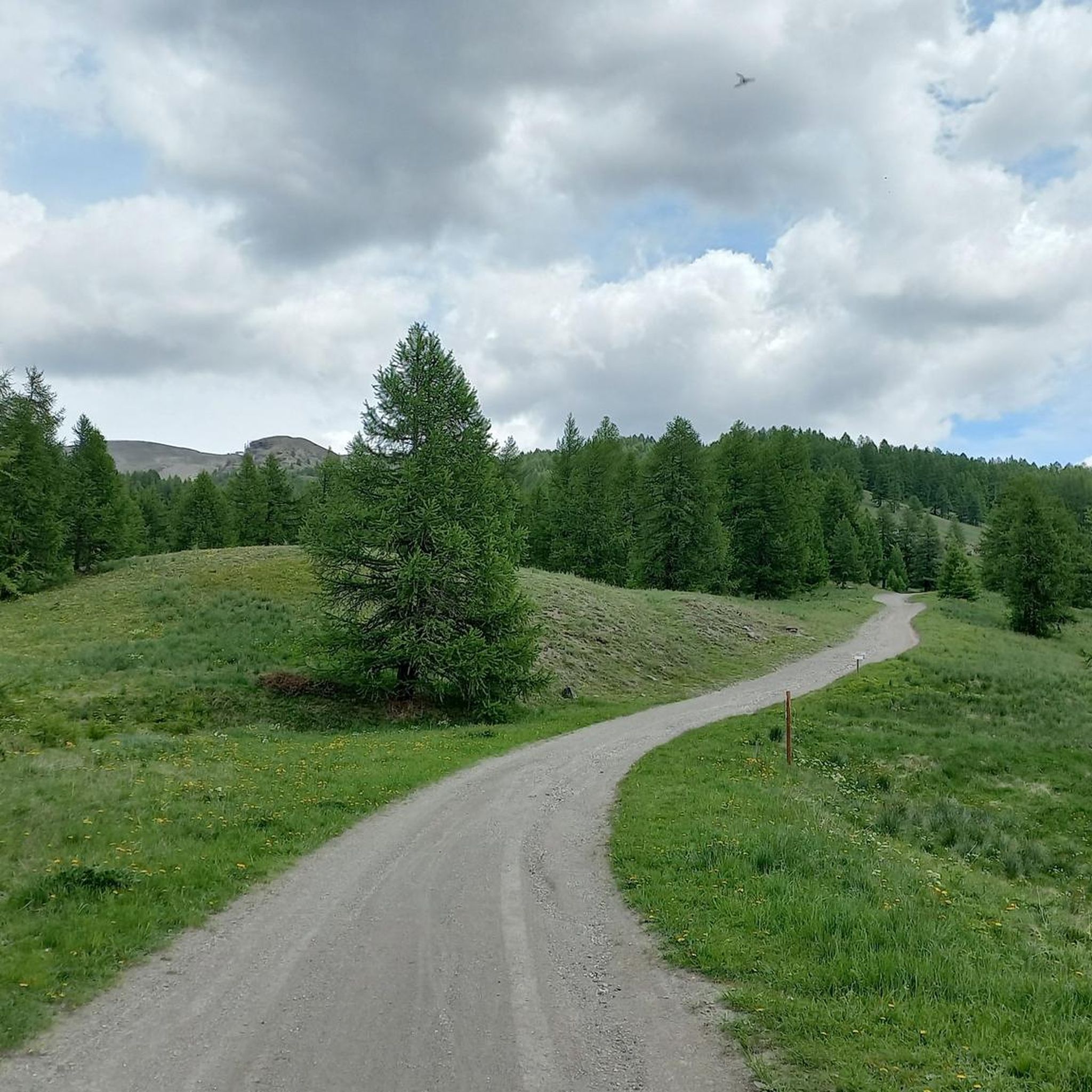
Gravel biking in Champlas - Colle Sestriere features high mountain paths and diverse alpine terrain, characterized by significant elevation gains. The region is known for its historical "white roads" that traverse altitudes often between 6,500 and 8,200 feet (2,000 and 2,500 meters). These routes demand good fitness and advanced riding skills, offering challenging experiences across the Italian Piedmont Alps.
Best gravel bike trails in Champlas - Colle Sestriere
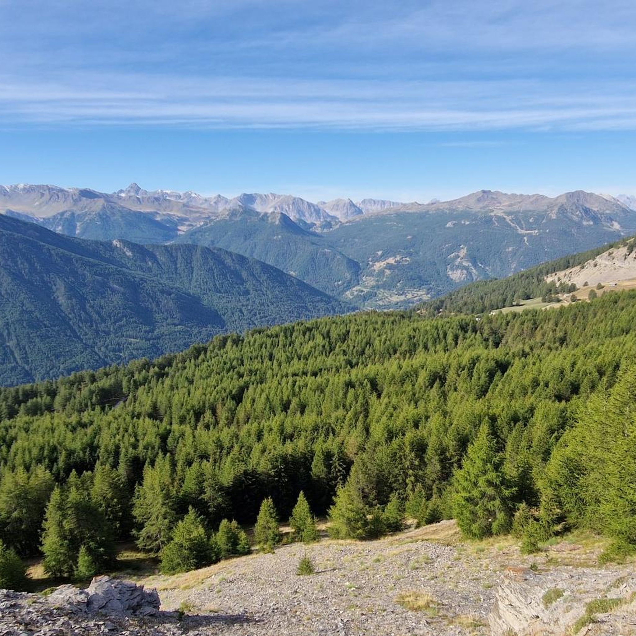
- The most popular gravel bike trail is Assietta gravel ring from Sestriere…
Last updated: November 18, 2026
5.0
(1)
22
riders
36.0km
03:42
1,230m
1,220m
Hard gravel ride. Very good fitness required. Mostly paved surfaces.
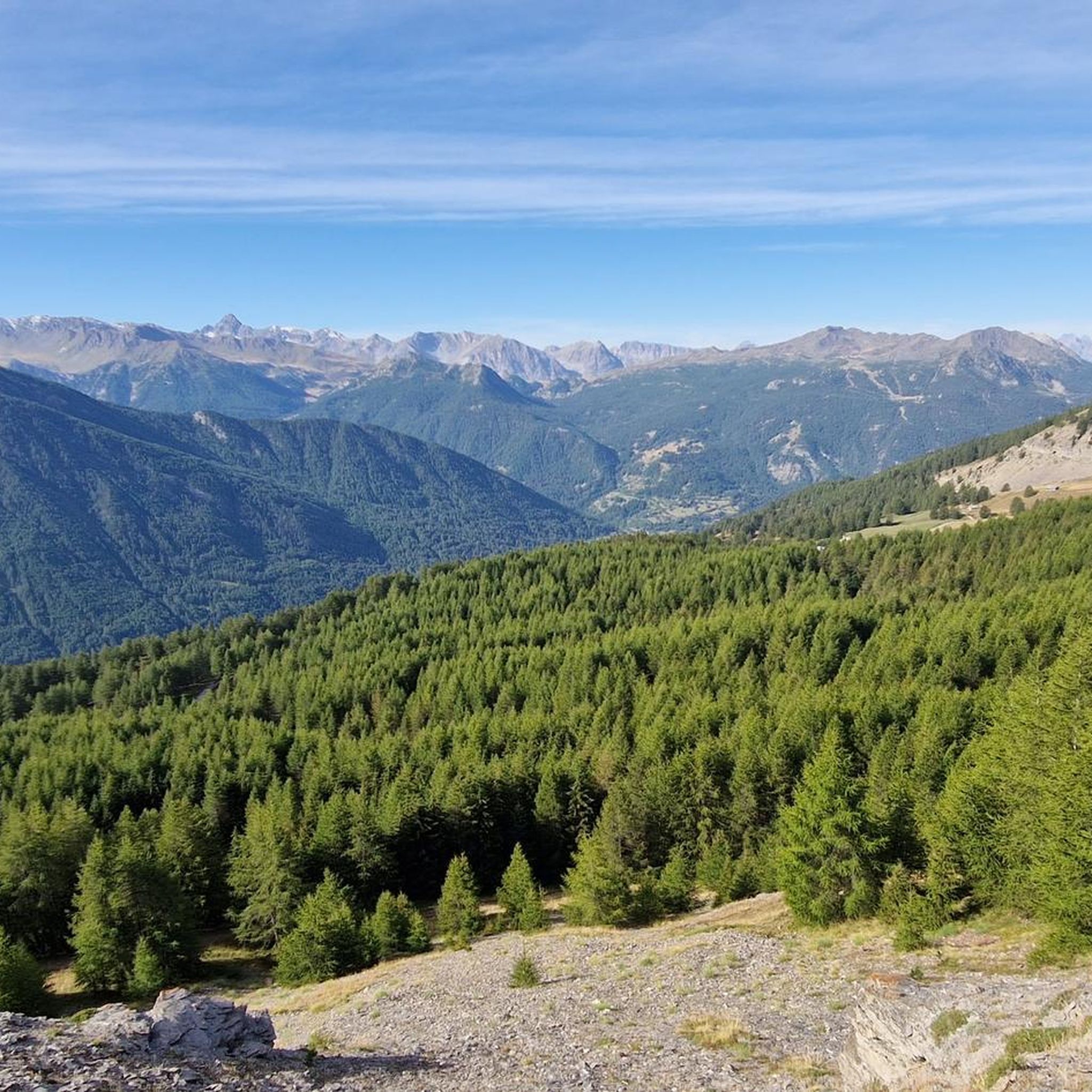
8
riders
51.4km
04:43
1,360m
1,360m
Hard gravel ride. Very good fitness required. Mostly paved surfaces.

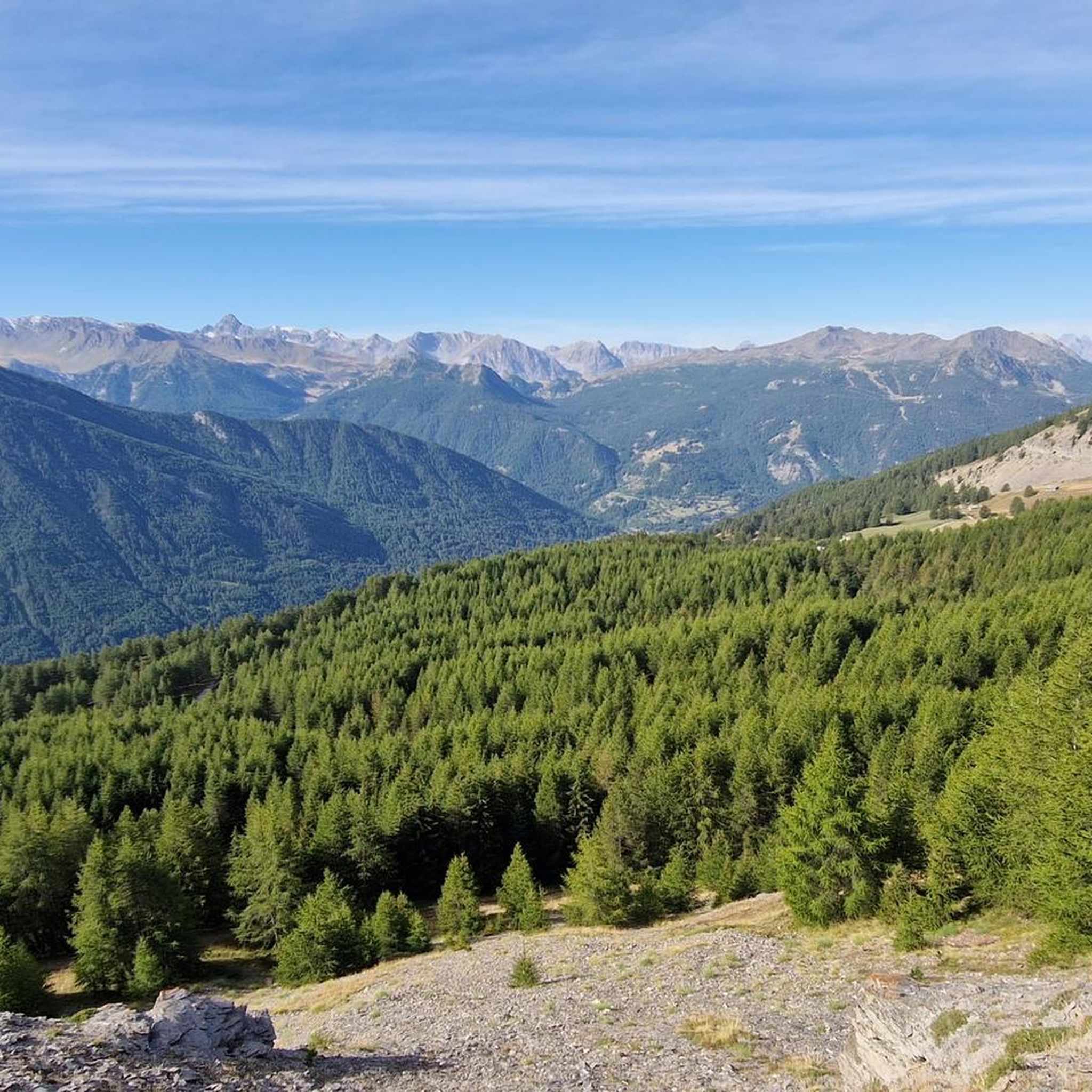
4.7
(29)
367
riders
59.4km
06:48
1,670m
1,670m
Hard gravel ride. Very good fitness required. Mostly paved surfaces.
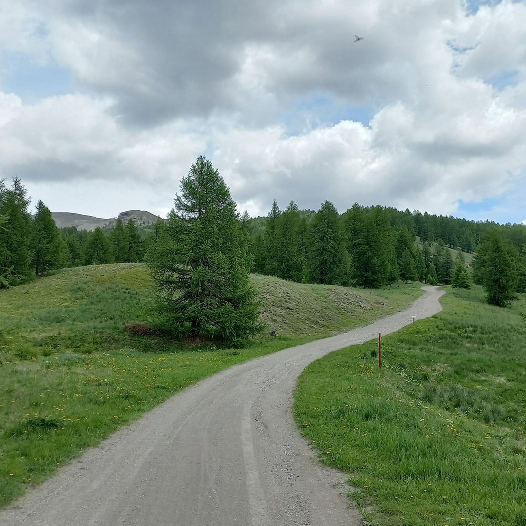
4.7
(28)
359
riders
58.0km
05:25
1,680m
1,680m
Hard gravel ride. Very good fitness required. Mostly paved surfaces.
2
riders
91.3km
10:45
3,090m
3,090m
Hard gravel ride. Very good fitness required. You may need to push your bike for some segments of this route.
Get access to more routes and recommendations from other explorers.
Already have an account?
Our route recommendations are based on thousands of hikes, rides, and runs completed by other people on komoot.
Start today with a free account
Your next adventure awaits.

Tips from the Community

It's a natural single track, one of the old-school kind... and for that reason, of inestimable value. Beautiful, in a wild wooded environment, to be ridden uphill only if you have an e-MTB or are very fit! The gradients are steep, some sections are technical, one of the most beautiful single tracks in the upper RIPA valley.
0
0

The Forte del Gran Serin or Batteria del Gran Serin is a fortification built towards the end of the 19th century to defend the northwestern borders, located along the Assietta road near the Colle dell'Assietta. The battery develops in length straddling over 2,600 meters in altitude, offering artillery positions, barracks including stables for a total that could reach 850 soldiers and a powder magazine, all protected by a long wall. The position covered with its fire from the top of the Assietta to the Gran Costa mountain, covering the Galambra valley, the Niblè, the Quattro Denti peak and the lower Val Cenischia. To date, the structure is in ruins and part of the wall is missing.
0
0

Gran Serin Barracks
0
0

Parking area found full on Sunday, January 25th
1
0

Although the flag parade seen in some of the photos (which various users have uploaded to the highlight) could theoretically fit into a memorial for the victims of the two world wars – who came from many different nationalities – they do not belong in any context with the “Monumento ai caduti”.
1
0

A beautiful stretch that allows you to reach the Argentera Valley more easily, or with more effort Cima del Bosco
1
0

Fantastic place for families
0
0

Great place to start a tour, there is a waste area and a very cool fountain
0
0
Frequently Asked Questions
How challenging are the gravel bike trails in Champlas - Colle Sestriere?
The gravel bike trails in Champlas - Colle Sestriere are generally demanding, characterized by high mountain paths, significant elevation gains, and diverse alpine terrain. Many routes, like the iconic Assietta gravel ring from Sestriere, are rated as difficult and require good fitness and advanced riding skills. You'll often encounter historical "white roads" at altitudes between 2,000 and 2,500 meters.
Are there any beginner-friendly gravel routes in the Champlas - Colle Sestriere area?
Champlas - Colle Sestriere is primarily known for its challenging, high-altitude gravel routes. The region's network largely caters to experienced riders seeking significant elevation gains and technical terrain. There are no routes specifically classified as 'easy' in the guide data, with most being rated as 'difficult' or 'moderate'.
What kind of terrain can I expect on the gravel bike trails here?
You can expect a variety of alpine terrain, from unpaved military roads like the Strada dell'Assietta to rocky scree and alpine meadows. Lower elevations feature larch and Swiss pine forests. The routes often involve substantial climbing and descents, with some sections potentially requiring you to push your bike.
How many gravel bike trails are available in Champlas - Colle Sestriere?
There are over 35 gravel bike trails available in Champlas - Colle Sestriere, offering a wide range of challenging options for riders looking to explore the high mountain paths and historical 'white roads' of the Italian Piedmont Alps.
Can I find circular gravel bike routes in this region?
Yes, many of the gravel routes in Champlas - Colle Sestriere are loops. For example, the popular Assietta gravel ring from Sestriere is a difficult 59.4 km loop. Another option is the Sestriere – Gelindo Bordin Trail loop from Cesana Torinese, which covers 51.4 km.
What kind of scenic views or natural features can I expect along the gravel trails?
The region offers breathtaking panoramic views, especially from high-altitude points like Colle Basset (2,424 meters) and along the Strada dell'Assietta. You'll see diverse alpine scenery, from larch and Swiss pine forests to rocky scree. Keep an eye out for marmots, a typical rodent of the area, particularly along the Strada dell'Assietta. Grange Elp is a notable viewpoint accessible via dirt roads.
Are there any historical sites or landmarks accessible by gravel bike?
Yes, the region has historical significance. The military roads themselves, like the Strada dell'Assietta, are historical features. You can also find sites such as the Forte Seguin Ruins, a late nineteenth-century historical site located above Champlas Seguin, which can be explored as part of your ride.
When is the best time of year to go gravel biking in Champlas - Colle Sestriere?
Given the high-altitude nature of the trails, the best time for gravel biking in Champlas - Colle Sestriere is typically during the warmer months, from late spring to early autumn. This avoids snow and ice, ensuring safer and more accessible conditions on the mountain passes and unpaved roads.
Is it possible to go gravel biking in Champlas - Colle Sestriere during winter?
Gravel biking in Champlas - Colle Sestriere during winter is generally not recommended due to heavy snowfall and icy conditions at high altitudes. Many routes, including the famous Strada dell'Assietta, become impassable or extremely hazardous. The region is primarily a winter sports destination during these months.
What do other gravel bikers say about the trails in Champlas - Colle Sestriere?
The gravel biking routes in Champlas - Colle Sestriere are highly rated by the komoot community, with an average score of 4.8 stars from over 50 reviews. Riders frequently praise the challenging nature of the trails, the stunning panoramic views, and the unique experience of riding on historical high-altitude military roads.
Are there any particularly long gravel routes for endurance riders?
For endurance riders seeking a significant challenge, the Panoramic tour in the park of the Great Forest of Salbertrand is a notable option. This route is 91.3 km long and involves over 3,000 meters of elevation gain, making it a very hard and rewarding experience.
Can I connect to other famous cycling areas from Champlas - Colle Sestriere?
Yes, the region is well-connected to other famous cycling areas. For instance, the top eight kilometers of Colle delle Finestre, known as a challenging road cycling climb, are unpaved and can be incorporated into gravel routes. The Gelindo Bordin Trail also connects to the Strada dell'Assietta, offering high-altitude views across the region.
Most popular routes in Champlas - Colle Sestriere
Most popular attractions in Champlas - Colle Sestriere

Get inspired with the komoot mobile app


Explore more
Browse the best Gravel rides in other regions.
