The best gravel rides in Emmericher Ward
4.2
(14)
259
riders
34
rides
Gravel biking in Emmericher Ward is characterized by its flat to gently rolling terrain, offering routes that traverse agricultural landscapes, river floodplains, and sections of woodland. The region, situated near the Rhine, provides a network of paths suitable for various gravel biking experiences. Elevation gains are generally minimal, making the area accessible for longer distances without significant climbing. The trails often follow dikes and quiet country roads, providing open views of the surrounding natural environment.
Best gravel bike trails in…
Last updated: May 22, 2026
5.0
(1)
25
riders
Hard gravel ride. Very good fitness required. Mostly paved surfaces. Suitable for all skill levels.
5.0
(1)
23
riders
67.1km
03:55
220m
220m
Moderate gravel ride. Good fitness required. Mostly paved surfaces. Suitable for all skill levels.

Sign up for free
4.0
(1)
14
riders
Moderate gravel ride. Good fitness required. Mostly paved surfaces. Suitable for all skill levels.
10
riders
53.5km
03:18
150m
150m
Hard gravel ride. Good fitness required. You may need to push your bike for some segments of this route.
4.5
(2)
6
riders
45.0km
02:37
110m
110m
Moderate gravel ride. Good fitness required. Mostly paved surfaces. Suitable for all skill levels.
Get access to more routes and recommendations from other explorers.
Sign up for free
Already have an account?
Our route recommendations are based on thousands of hikes, rides, and runs completed by other people on komoot.
Start today with a free account
Your next adventure awaits.
Login or Signup
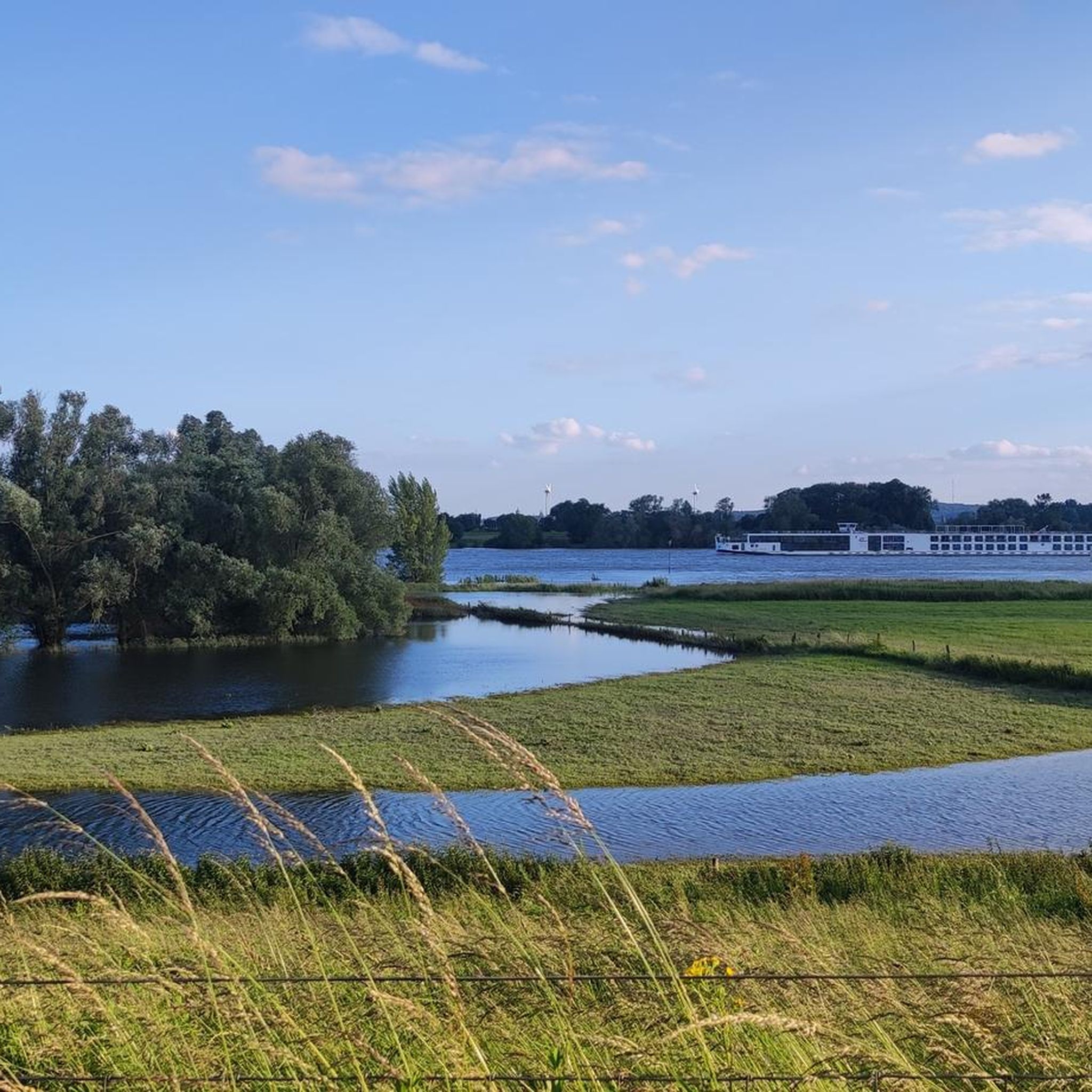
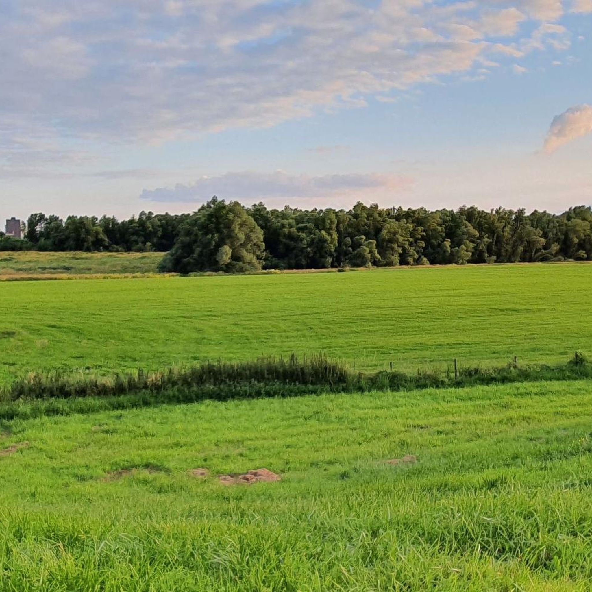
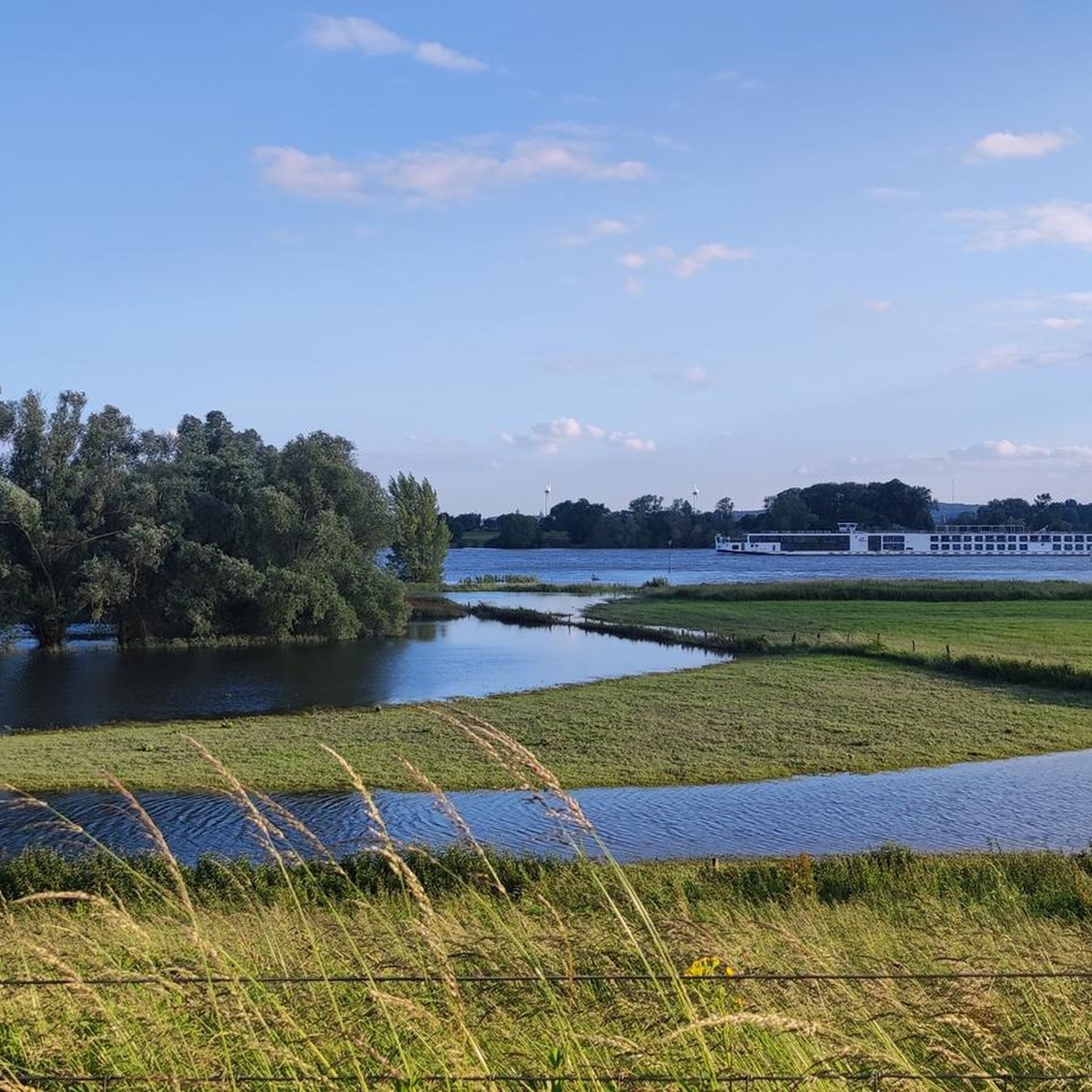
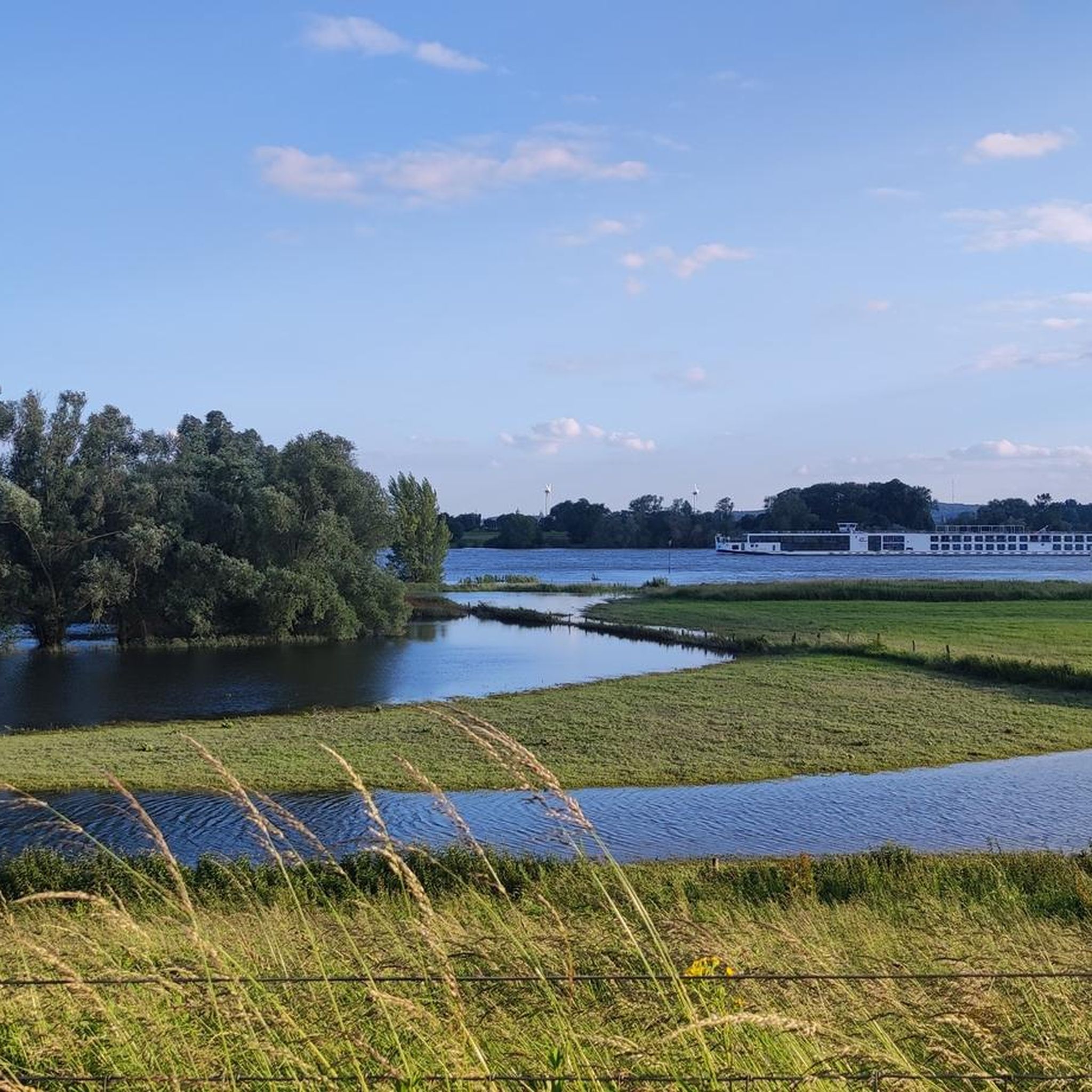

Tips from the Community

It is likely that Saint Martin or one of his successors had a church built in this area. The present late Gothic church building dates from the period 1300 to 1350. Oud-Zevenaar was once a place of pilgrimage. Many miracles are said to have occurred at the statue of Our Lady of Sorrows, which was placed in the church in 1440 and stolen in 1975. A replica is now in the church. The stained-glass windows, depicting the Seven Sorrows of Mary, were created in 1931 by the stained-glass artist Joep Nicolas. Next to the main entrance is a stone indicating a height of 15.25 cm above sea level (NAP).
0
0

This beautiful wooden arched bridge connects Gendringen/NL with Voorst/NL and its lovely heathland. North of the bridge, the river is called the "Oude IJssel" and belongs to the Netherlands, while to the south, the same river is called the "Issel." South of the bridge, the border runs down the middle of the river (W=NL and O=DE). The pedestrian and cycle path is on the Dutch side.
3
0

This castle is a must see.
0
0

The church's origins date back to the 10th century. It was built as a simple wooden structure at the beginning of the 10th century northeast of the then existing castle complex. In 967, the castle was converted into a free-noble women's convent. The Elten women's convent developed into an imperial foundation and thus also became a secular dominion, or rather, an independent small state with a secular bailiff. The wooden church was replaced by a three-aisled basilica. In 970, it was consecrated to St. Salvator and St. Vitus, but three years later, only the latter was listed as the patron saint. North of the church, convent buildings with a cloister were built. The chronology is based on pottery, which is discussed in detail by Janssen. Some burials northeast of the church date from as early as the 10th/11th centuries.
11
0
A truly beautiful vantage point with a view toward Emmerich. There's a small hiking trail (around the church) leading here, but if there aren't many visitors, you can also ride or push your bike.
10
1

Love climbing and descending? You'll find this highlight in "Climbing in the Netherlands," our book with 14 road bike routes, covering over 11,000 meters of elevation gain: Limburg, Nijmegen, Twente, Veluwe, and many more. All routes have multiple distances/shortcuts. Get Komoot Premium for €5 a month + a 50% discount on Climbfinder Premium for €15 as a gift. Download the ebook for €14: https://bit.ly/klimmen-in-nederland
0
0

Stork ; on the Move
0
1

Enjoy driving with a height profile
0
0
Frequently Asked Questions
How many gravel bike trails are available in Emmericher Ward?
Emmericher Ward offers a diverse network of over 45 gravel bike trails. These routes cater to various skill levels, from easy to challenging, allowing you to explore the region's agricultural landscapes, river floodplains, and woodlands.
Are there any easy or beginner-friendly gravel bike routes in Emmericher Ward?
Yes, Emmericher Ward is well-suited for beginners with 9 easy gravel bike routes. These trails typically feature flat to gently rolling terrain with minimal elevation gain, making them ideal for a relaxed ride. An example is the Oude Eltenseweg – Bergherbos Mountain Bike Trail loop from Emmerich on the Rhine, which offers gentle climbs and scenic river views.
What kind of terrain can I expect on gravel bike trails in Emmericher Ward?
The terrain in Emmericher Ward is predominantly flat to gently rolling, characterized by agricultural fields, river floodplains, and sections of mixed woodland. Many routes follow dikes and quiet country roads, providing open views and a smooth gravel riding experience.
Are there any challenging gravel bike trails for experienced riders?
Absolutely. For those seeking a longer and more demanding ride, Emmericher Ward has 13 difficult routes. These trails often cover greater distances and navigate through varied rural landscapes. A notable challenging route is the Gaardepad behind castle – Bridge over the Oude IJssel loop from Emmerich-Elten, which spans over 90 km.
Are there circular gravel bike routes available in Emmericher Ward?
Yes, many of the gravel bike routes in Emmericher Ward are designed as loops, allowing you to start and end at the same point. This is convenient for exploring the region without needing to arrange transportation back to your starting location. For example, the Grafelijke Korenmolen Zeddam – Blick auf Oud Zeevenar loop from Emmerich is a popular circular option.
What is the best time of year for gravel biking in Emmericher Ward?
The best time for gravel biking in Emmericher Ward is generally from spring through autumn (April to October). During these months, the weather is typically mild, and the landscapes are vibrant. The flat terrain makes it accessible even in cooler shoulder seasons, but always check local weather conditions.
What are the typical distances and elevation gains on Emmericher Ward gravel trails?
Distances vary widely, from shorter loops around 20-30 km to longer, more challenging routes exceeding 90 km. Elevation gains are generally minimal across the region due to its flat topography, typically ranging from 70 to 180 meters even on longer rides, making it suitable for sustained efforts without significant climbing.
What do other gravel bikers enjoy most about Emmericher Ward?
The gravel biking experience in Emmericher Ward is highly rated by the komoot community, with an average score of 4.4 stars from over 30 reviews. Riders often praise the peaceful rural landscapes, the well-maintained paths along dikes, and the opportunity to enjoy long rides through open fields and by the river without significant climbs.
Are there any specific points of interest or landmarks along the gravel trails?
While the region is known for its natural beauty, some routes pass by historical or scenic points. For instance, the Grafelijke Korenmolen Zeddam – Blick auf Oud Zeevenar loop from Emmerich takes you near the historic Grafelijke Korenmolen Zeddam. Many trails also offer scenic views of the Rhine and its floodplains.
Are there any gravel routes suitable for families with children?
Yes, the generally flat and well-maintained paths make many routes in Emmericher Ward suitable for families. Look for the 'easy' graded routes, which typically have lower distances and minimal elevation, providing a pleasant and safe experience for riders of all ages. The quiet country roads and dikes offer a relaxed environment away from heavy traffic.
Where can I find parking for gravel biking in Emmericher Ward?
Parking is generally available in and around the starting points of many routes, particularly in towns like Emmerich am Rhein and Emmerich-Elten. Many routes are designed as loops, making it convenient to park your car and begin your ride directly from there. Specific parking information can often be found on individual route pages on komoot.
Can I find cafes or pubs along the gravel bike trails in Emmericher Ward?
Yes, as you traverse the region's villages and towns, you'll find opportunities to stop for refreshments. Emmerich am Rhein and smaller settlements along the routes offer cafes, restaurants, and pubs where you can take a break and refuel during your ride.
Most popular routes in Emmericher Ward

Get inspired with the komoot mobile app


Explore more
Browse the best Gravel rides in other regions.
