The best gravel rides in Sülzensee – Mackenröder Wald
4.7
(22)
114
riders
35
rides
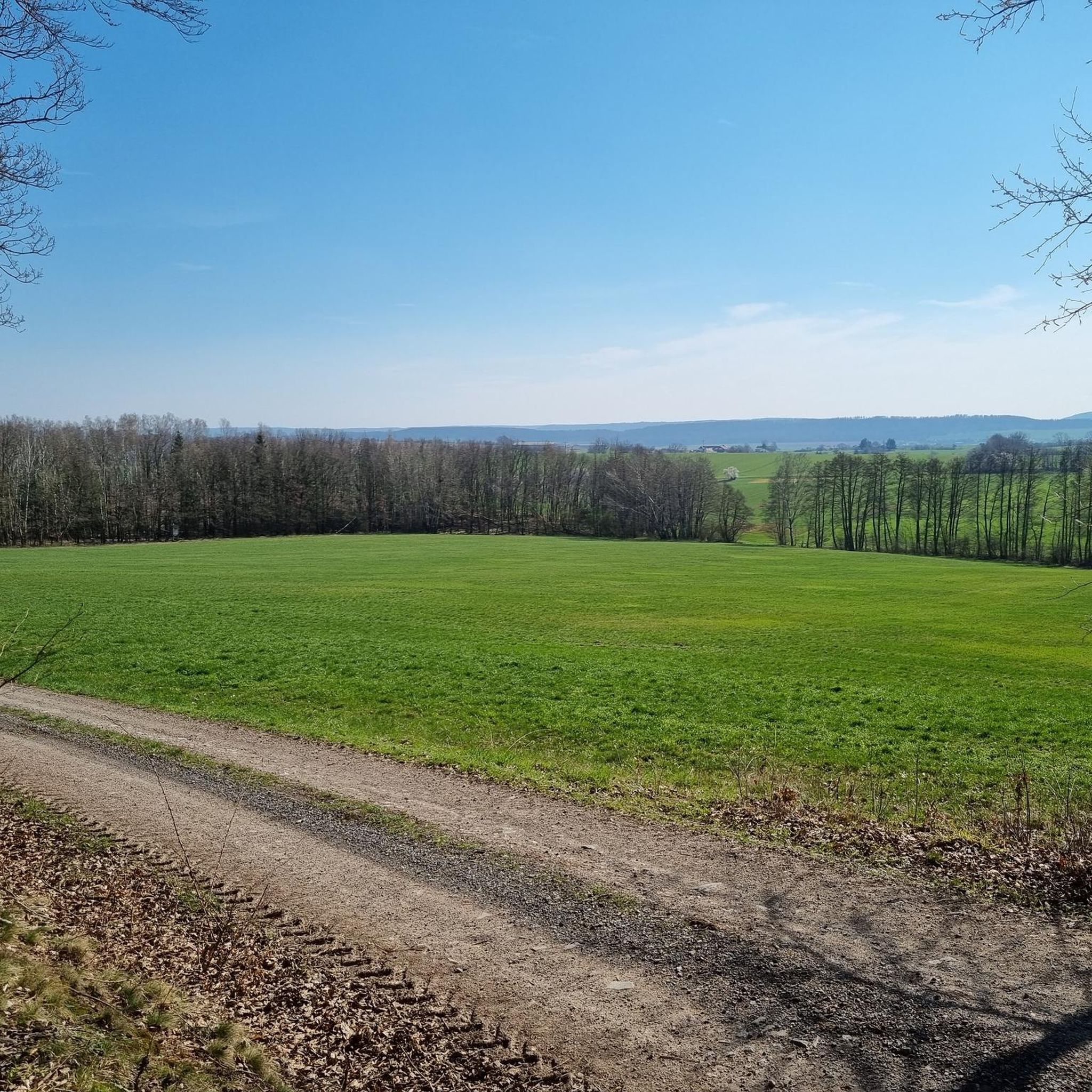
Gravel biking in Sülzensee – Mackenröder Wald offers a diverse landscape for riders. The region is characterized by dense woodlands, rolling hills, and the presence of significant water bodies like the Oder Dam and Steinatalsperre. Trails often navigate through forested areas and open sections, providing varied terrain for gravel cyclists. The elevation changes across the area contribute to both moderate and more challenging routes.
Best gravel bike trails in Sülzensee – Mackenröder Wald
- The most popular gravel bike trail is…
Last updated: May 22, 2026
5
riders
54.0km
03:51
980m
980m
Hard gravel ride. Very good fitness required. Mostly paved surfaces. Suitable for all skill levels.
5.0
(1)
8
riders
68.3km
04:41
1,330m
1,330m
Hard gravel ride. Very good fitness required. Mostly paved surfaces. Suitable for all skill levels.

Sign up for free
5.0
(1)
4
riders
10.9km
00:58
320m
320m
Moderate gravel ride. Good fitness required. Mostly paved surfaces. Suitable for all skill levels.
5.0
(2)
4
riders
30.2km
01:55
530m
530m
Hard gravel ride. Very good fitness required. Mostly paved surfaces. Suitable for all skill levels.
5.0
(1)
4
riders
19.5km
01:26
450m
450m
Moderate gravel ride. Good fitness required. Mostly paved surfaces. Suitable for all skill levels.
Get access to more routes and recommendations from other explorers.
Sign up for free
Already have an account?
Our route recommendations are based on thousands of hikes, rides, and runs completed by other people on komoot.
Start today with a free account
Your next adventure awaits.
Login or Signup
Popular around Sülzensee – Mackenröder Wald

Tips from the Community

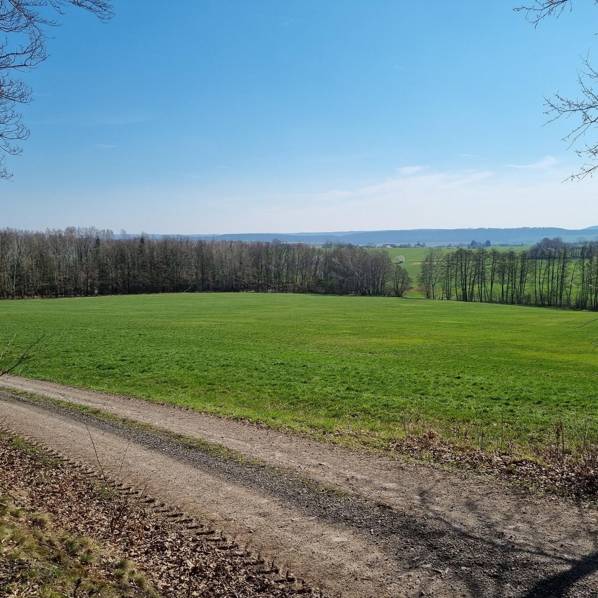
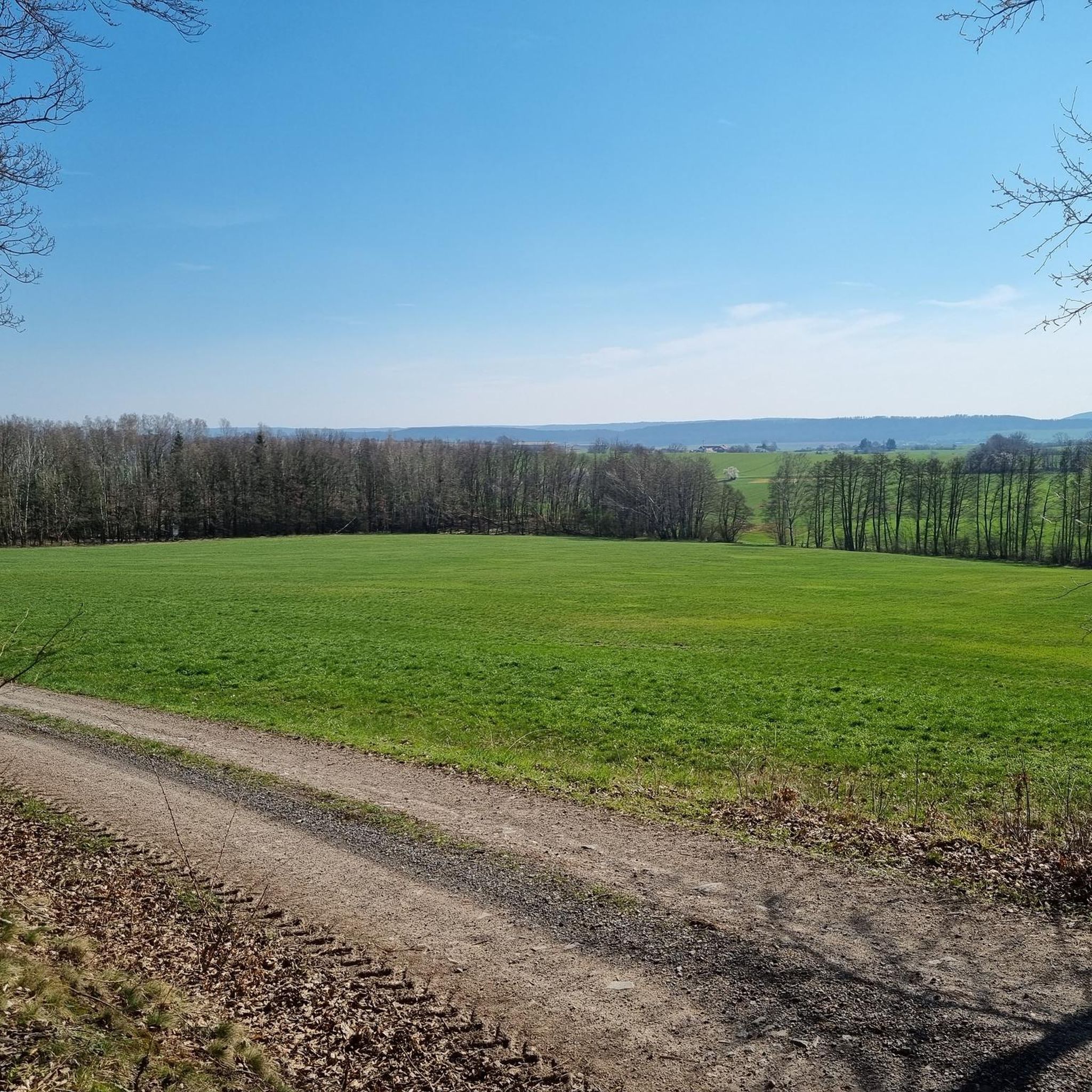
Beautiful view over an equally beautiful hidden stream valley. Nice surprise after a tough climb up by bike.
0
0

The interesting story of how the cabin got its name is also told on a plaque inside.
3
0

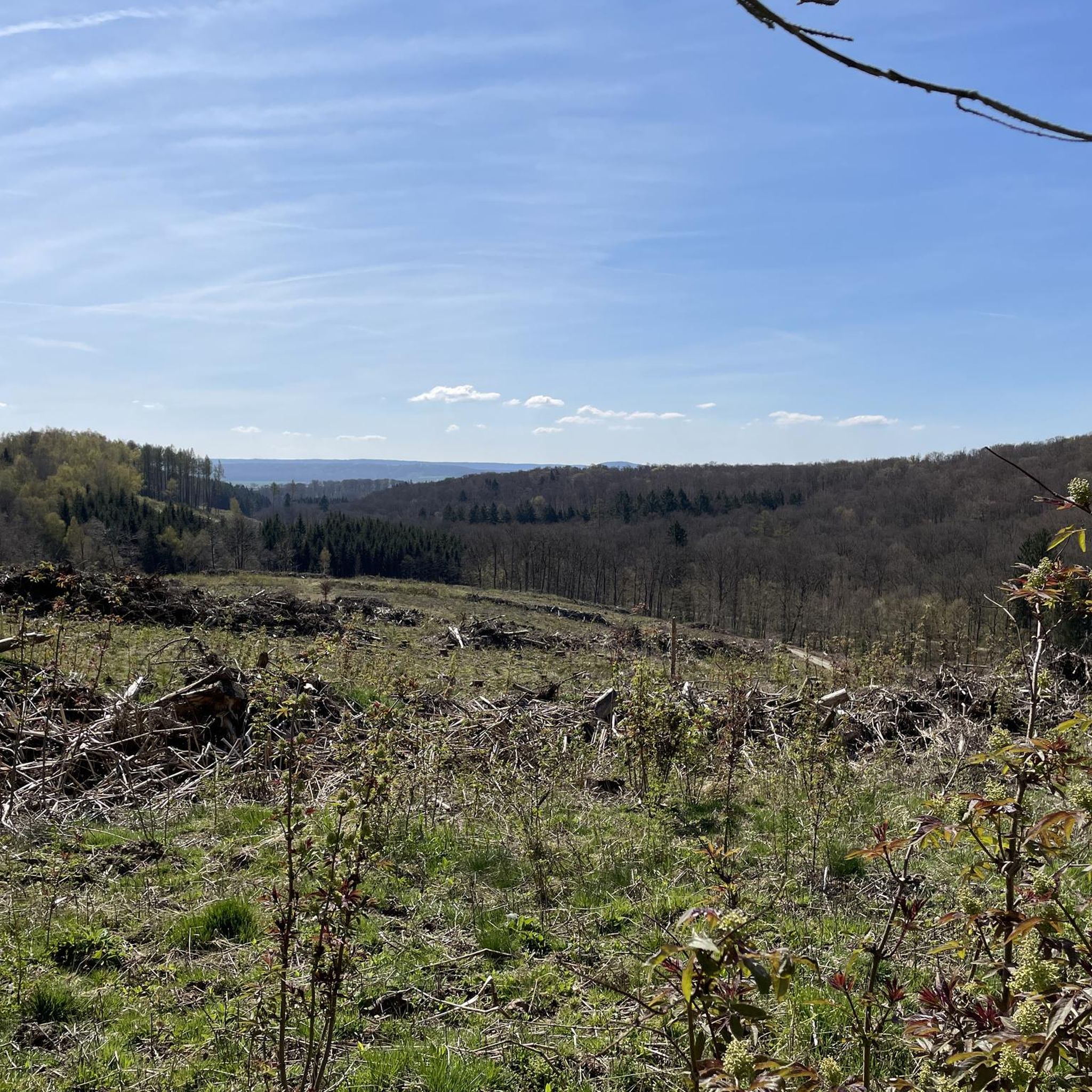
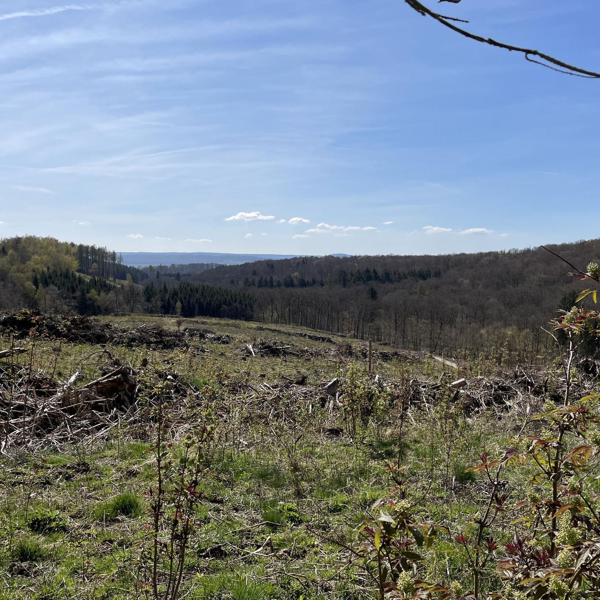
Thanks to forest dieback, we now have a magnificent view of the southern Harz Mountains! But now we can see the renewal; the heath is already sprouting strongly.
1
0
The days of skiing are numbered here, it's a pity that no alternative use has been found yet, like on the Wurmberg or the Matthis-Schmidt-Berg
1
0

A nice rest area with plenty of seating and an overview map.
8
0

The hut looks more like a bus shelter (the route of the South Harz Railway also ran here), but the view of the Wurmberg and Brocken is really good
1
0

Ideal when there is snow
1
0

Frequently Asked Questions
What is the general difficulty level of gravel bike trails in Sülzensee – Mackenröder Wald?
The trails in Sülzensee – Mackenröder Wald offer a range of difficulties. You'll find a good mix of moderate and difficult routes, with 13 moderate and 24 difficult options available. This means there are suitable paths for both experienced gravel bikers and those looking for a solid challenge.
Are there any family-friendly gravel bike routes in the Sülzensee – Mackenröder Wald region?
Yes, for families or those seeking a less strenuous ride, the region offers moderate trails. A good option is the Bad Sachsa Dinosaur Museum – Melting pond loop from Bad Sachsa, which is 10.9 km long and features a mix of forest paths and open sections, passing by local points of interest.
What kind of terrain can I expect on gravel bike trails in Sülzensee – Mackenröder Wald?
You can expect a diverse landscape characterized by dense woodlands, rolling hills, and significant water bodies like the Oder Dam and Steinatalsperre. Trails often navigate through forested areas and open sections, providing varied terrain with elevation changes that contribute to both moderate and more challenging routes.
Are there any circular gravel bike routes available?
Yes, many of the gravel bike routes in Sülzensee – Mackenröder Wald are designed as loops. For example, the challenging View of the Oder Dam – Steinatalsperre loop from Bad Sachsa offers expansive views, while the moderate Steinatalsperre – View of Odertalsperre loop from Bad Sachsa is a shorter option.
What are the typical lengths and durations of gravel bike trails in this area?
Trail lengths vary significantly. You can find shorter routes like the Bad Sachsa Dinosaur Museum – Melting pond loop from Bad Sachsa at around 10.9 km (6.7 miles), taking about 1 hour. Longer, more challenging routes, such as the Neuer Goetheweg – Brocken Summit loop from Bad Sachsa, can be up to 68.3 km (42.5 miles) and take over 4 hours to complete.
What do other gravel bikers say about the trails in Sülzensee – Mackenröder Wald?
The gravel bike routes in Sülzensee – Mackenröder Wald are highly rated by the komoot community, with an average score of 4.7 stars from over 20 reviews. Riders often praise the varied terrain, the beautiful forest paths, and the scenic views of the reservoirs.
Are there any routes that offer significant elevation gain for advanced riders?
Absolutely. For advanced riders seeking significant elevation, routes like the Neuer Goetheweg – Brocken Summit loop from Bad Sachsa feature over 1300 meters of ascent, providing a demanding and rewarding experience through varied terrain.
What kind of views or points of interest can I expect along the gravel bike trails?
Many routes offer scenic viewpoints, particularly those around the major water bodies. For instance, the View of the Oder Dam – Steinatalsperre loop from Bad Sachsa provides expansive views of the Oder Dam. You'll also encounter dense woodlands and open sections, with some trails passing by local points of interest like the Bad Sachsa Dinosaur Museum.
Is it possible to access gravel bike trails in Sülzensee – Mackenröder Wald using public transport?
While specific public transport connections to trailheads can vary, the town of Bad Sachsa often serves as a good starting point for many routes, including several loops. It's advisable to check local bus or train schedules to Bad Sachsa for the most current information on accessibility.
Are there any cafes or places to stop for refreshments near the gravel bike trails?
The region, particularly around towns like Bad Sachsa, offers amenities where you can find cafes and places for refreshments. While specific trailside cafes might be limited, planning your route to pass through or near these towns will provide opportunities for a break.
What is the best time of year for gravel biking in Sülzensee – Mackenröder Wald?
The region is generally enjoyable for gravel biking from spring through autumn, when the weather is milder and the forest paths are in good condition. The varied terrain and woodlands offer beautiful scenery during these seasons. Winter riding is possible, but conditions can be more challenging due to snow or ice.
What should I wear for gravel biking in Sülzensee – Mackenröder Wald?
Given the varied terrain and potential for elevation changes, layered clothing is recommended. Depending on the season, this could include moisture-wicking base layers, a breathable mid-layer, and a windproof or waterproof outer shell. Always wear a helmet, and consider padded shorts for comfort on longer rides.
Most popular routes in Sülzensee – Mackenröder Wald

Get inspired with the komoot mobile app


Explore more
Browse the best Gravel rides in other regions.
