The best gravel rides in Kohlbachtal
4.9
(14)
62
riders
5
rides
Gravel biking in Kohlbachtal features routes that traverse river valleys, agricultural lands, and forested sections. The region is characterized by its gently rolling terrain, with elevations typically ranging from 150 to over 400 meters. Riders can expect a mix of surfaces, including gravel paths, forest roads, and some paved sections connecting historical sites and natural landmarks. The landscape is shaped by the Mulde River and its tributaries, offering varied scenery for gravel bike trails.
Best gravel bike trails in Kohlbachtal
…Last updated: October 6, 2026
5.0
(2)
4
riders
48.0km
02:47
410m
410m
Hard gravel ride. Good fitness required. You may need to push your bike for some segments of this route.
3
riders
Moderate gravel ride. Good fitness required. Mostly paved surfaces. Suitable for all skill levels.

5.0
(1)
2
riders
Moderate gravel ride. Good fitness required. Mostly paved surfaces. Suitable for all skill levels.
4.7
(6)
23
riders
25.3km
01:27
150m
150m
Moderate gravel ride. Good fitness required. Mostly paved surfaces. Suitable for all skill levels.
5.0
(2)
19
riders
49.5km
02:39
310m
310m
Moderate gravel ride. Good fitness required. Mostly paved surfaces. Suitable for all skill levels.
Our route recommendations are based on thousands of hikes, rides, and runs completed by other people on komoot.
Start today with a free account
Your next adventure awaits.
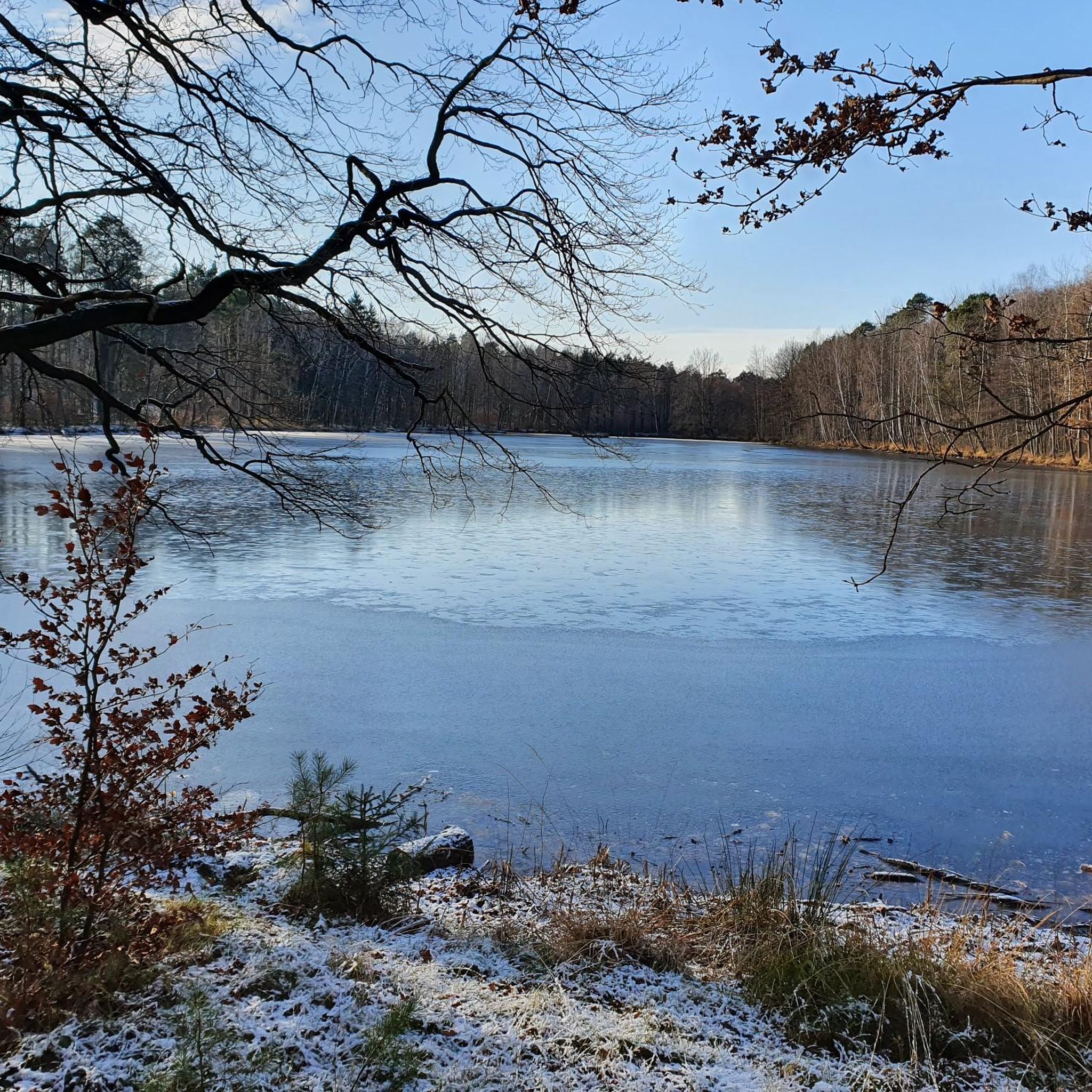
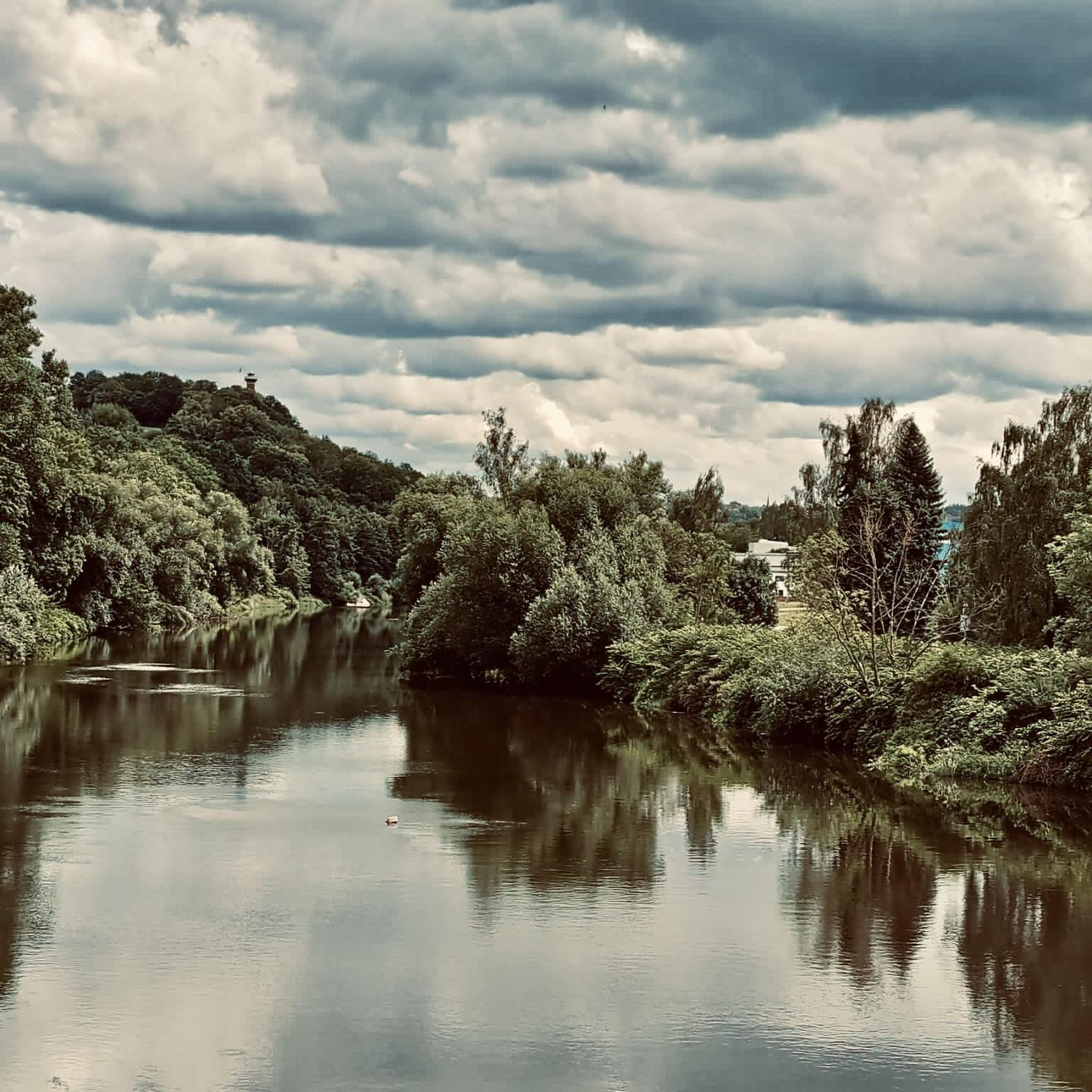
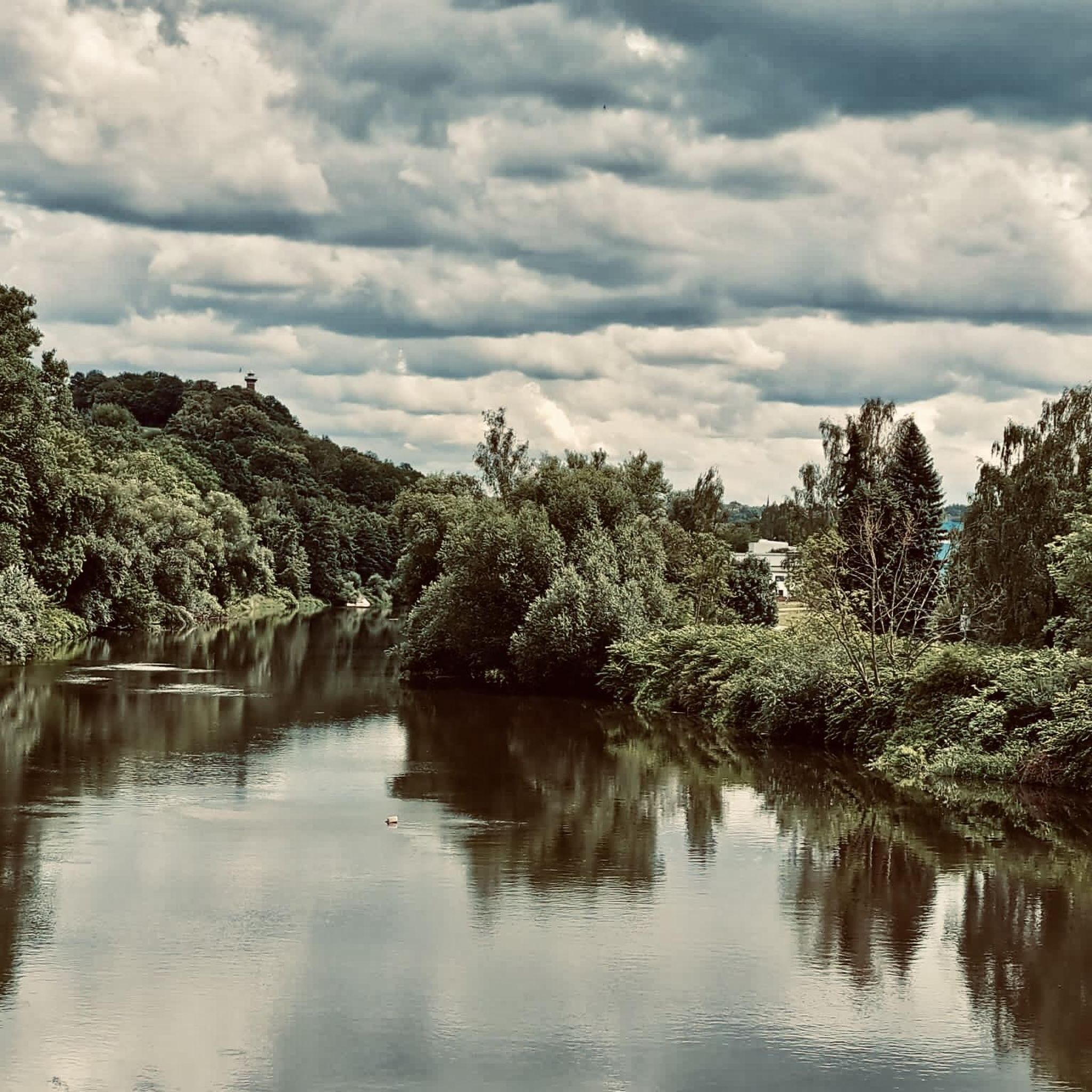
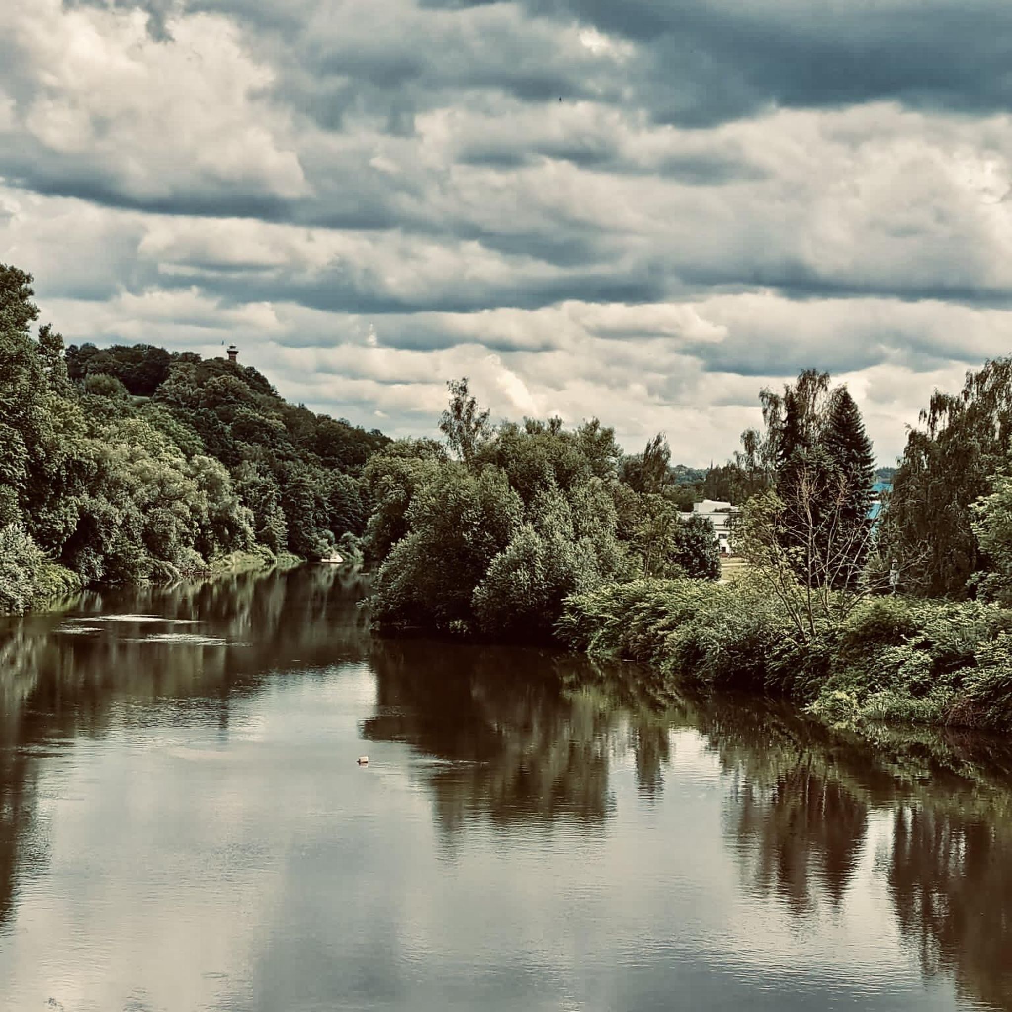
Tips from the Community

0
0

The Nimbschen Monastery (Marienthron) is a former Cistercian nunnery, located immediately south of Grimma in the Saxon district of Leipzig on the Mulde river. It existed between 1243 and 1536/42 and, after its dissolution, was part of the property of the Fürstenschule in Grimma or the St. Augustin Gymnasium in Grimma as a state school estate between 1550 and 1948. From the material of the monastery, which fell into disrepair after its dissolution, the new monastery estate was built in 1810, which is now used as a hotel. Next to the monastery, the settlement of Nimbschen was established on the neighboring Klosterholz.
0
0
The places along the Mulde are particularly threatened by floods. During the August 2002 flood, Grimma was one of the most severely affected municipalities in Saxony, with damage totaling 250 million euros. The June 2013 flood also left behind millions in damages. In 2002, the first plans for flood protection, such as those that occur statistically every 100 years, began in Grimma. In total, the Free State of Saxony and the European Union are investing around 60 million euros in flood protection. The new flood protection facility for Grimma is technically and aesthetically very demanding. The goal was to skillfully combine flood protection, monument protection, and urban development. To find a suitable construction variant, the city was rebuilt on a 1:50 scale, and the model was flooded to simulate water currents. An underground sealing wall, reaching twelve meters deep, influences the natural groundwater flow. Eight wells control groundwater communication.
0
0

The Altstadtblick (Old Town View) is one of the most beautiful panoramas in Grimma. The view from the Köhleraussicht (Charcoal Burner's View) in the city forest is particularly impressive. From there, your gaze sweeps across the Mulde river to the historic old town with its red roofs, the Renaissance town hall, the towers of the Frauenkirche (Church of Our Lady) and Grimma Castle. Those who want to explore Grimma on foot can choose the approximately two-hour tour "Grimma von oben" (Grimma from Above). It connects the most beautiful viewpoints, including Köhleraussicht, Hängebrücke (Suspension Bridge) and Tempelberg (Temple Mountain), with impressive views of the old town and the Mulde river.
4
0
The view of the suspension bridge in Grimma is one of the city's most famous photo motifs. The suspension bridge, built in 1924, spans the Mulde river for a length of 80 meters and connects the old town with the city forest. From the bridge, you can enjoy a wide view of the Mulde, the historic city silhouette, and the Gattersburg located above. Schloss Püchau, on the other hand, is located about 10 kilometers northwest of Grimma in the village of Püchau, directly on the Mulde river. The historic castle with its park is situated in a quiet river landscape and also offers beautiful views of the Mulde valley. However, it is not visible from the Grimma suspension bridge, as the two locations are several kilometers apart.
4
0


The monastery tavern was formerly the monastery's blacksmith shop
1
0

Unfortunately, the castle is somewhat neglected, with trash and broken benches in the castle grounds. Besides, everything is insured. There's still plenty of room for improvement regarding the catering, especially the opening hours.
0
0
Frequently Asked Questions
What are the typical distances and durations for gravel bike routes in Kohlbachtal?
Gravel bike routes in Kohlbachtal generally range from around 25 km to over 50 km. For example, the Mulde Cycle Path – Mulde River near Kössern loop from Großbardau is about 25 km, while the Potter's Fountain, Kohren-Sahlis – View of Bockwitzer Lake loop from Geithain extends to 52.5 km. Most tours can be completed within 3 to 5 hours, depending on your pace and the route's difficulty.
How challenging are the gravel bike trails in Kohlbachtal?
Kohlbachtal offers a mix of difficulties. You'll find moderate routes suitable for most riders, as well as more challenging options. For instance, the Mulde River near Kössern – View of Colditz Castle loop from Großbothen is considered difficult, featuring varied terrain and elevation changes. Overall, there are 4 moderate and 1 difficult route listed in the guide.
Are there beginner-friendly gravel bike routes in Kohlbachtal?
Yes, there are options for beginners. While many routes are moderate, the region's gently rolling terrain means that even longer routes can be manageable for those new to gravel biking, especially if they are generally fit. The guide includes 1 easy route, and several moderate routes can be approached at a leisurely pace.
What kind of terrain can I expect on Kohlbachtal's gravel bike trails?
The trails in Kohlbachtal feature a diverse mix of surfaces. You'll encounter classic gravel paths, forest roads, and some paved sections that connect various points of interest. The landscape includes river valleys, agricultural lands, and forested areas, providing varied scenery throughout your ride.
Are there any scenic viewpoints or notable landmarks along the gravel bike routes?
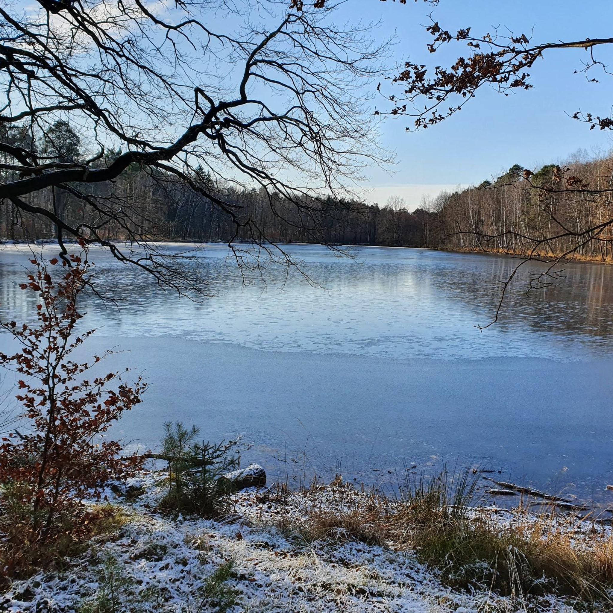
Absolutely. Many routes offer picturesque views and pass by interesting landmarks. For example, the Mulde River near Kössern – View of Colditz Castle loop from Großbothen provides views of the Mulde River and Colditz Castle. You can also explore natural highlights like the Old Pond (Kohlbach Valley) or the Altteich Spring, which are accessible from various points in the region.
When is the best time of year to go gravel biking in Kohlbachtal?
Spring and autumn are generally ideal for gravel biking in Kohlbachtal, offering pleasant temperatures and beautiful scenery as the landscape changes. Summer can also be enjoyable, especially on shaded forest paths, but be prepared for warmer weather. Winter riding is possible, but trails might be muddy or icy, requiring appropriate gear.
Are there any circular gravel bike routes in Kohlbachtal?
Yes, many of the gravel bike routes in Kohlbachtal are designed as loops, allowing you to start and end at the same point. Examples include the Nimbschen monastery ruins – Grimma Suspension Bridge loop from Colditz and the Rest Area by the Small Pond – Potter's Fountain, Kohren-Sahlis loop from Tautenhain.
What do other gravel bikers enjoy most about gravel biking in Kohlbachtal?
The komoot community highly rates the gravel biking experience in Kohlbachtal, with an average score of 4.8 stars. Riders often praise the varied terrain, which combines river valleys, historical landmarks, and mixed forest and field paths, offering a diverse and engaging ride for all skill levels.
Are there any historical sites or cultural points of interest along the routes?
Yes, Kohlbachtal's gravel routes often connect historical sites. The Nimbschen monastery ruins – Grimma Suspension Bridge loop from Colditz, for example, links historical sites with scenic river sections. You'll find opportunities to explore the region's rich history while enjoying your ride.
What kind of elevation changes can I expect on the gravel bike trails?
Kohlbachtal is characterized by gently rolling terrain. While not mountainous, routes typically feature elevation gains and losses ranging from 150 meters to over 400 meters. This provides a good workout without overly strenuous climbs, making for an enjoyable gravel biking experience.
Are there any places to stop for refreshments or rest along the gravel bike routes?
While specific cafes are not detailed for every route, the trails often pass through or near villages and towns where you can find opportunities for refreshments. Additionally, you might encounter huts or shelters, such as the Friederike Hut at the firefighting pond, which can serve as convenient rest stops.
Most popular routes in Kohlbachtal
Most popular attractions in Kohlbachtal

Get inspired with the komoot mobile app


Explore more
Browse the best Gravel rides in other regions.
