The best walks and hikes in Kohlbachtal
4.6
(3734)
12,336
hikers
32
hikes
Hiking trails in Kohlbachtal are primarily found within a natural park setting, characterized by its gentle valleys, woodlands, and serene ponds. The region offers a network of paths that traverse varied terrain, including forest paths and open areas around water features. Elevation changes are generally mild, making it accessible for a range of hiking abilities.
Best hiking trails in Kohlbachtal
- The most popular hiking route is View of Colditz Castle – Neuteich Pond in Kohlbachtal loop from Kohlbachtal, an…
Last updated: September 28, 2026
4.3
(9)
30
hikers
Moderate hike. Good fitness required. Easily-accessible paths. Suitable for all skill levels.
5.0
(1)
11
hikers
Easy hike. Great for any fitness level. Easily-accessible paths. Suitable for all skill levels.

4.0
(6)
8
hikers
Easy hike. Great for any fitness level. Easily-accessible paths. Suitable for all skill levels.
5.0
(1)
4
hikers
15.5km
04:04
120m
120m
Moderate hike. Good fitness required. Easily-accessible paths. Suitable for all skill levels.
5.0
(1)
5
hikers
Easy hike. Great for any fitness level. Easily-accessible paths. Suitable for all skill levels.
Get access to more routes and recommendations from other explorers.
Already have an account?
Our route recommendations are based on thousands of hikes, rides, and runs completed by other people on komoot.
Start today with a free account
Your next adventure awaits.
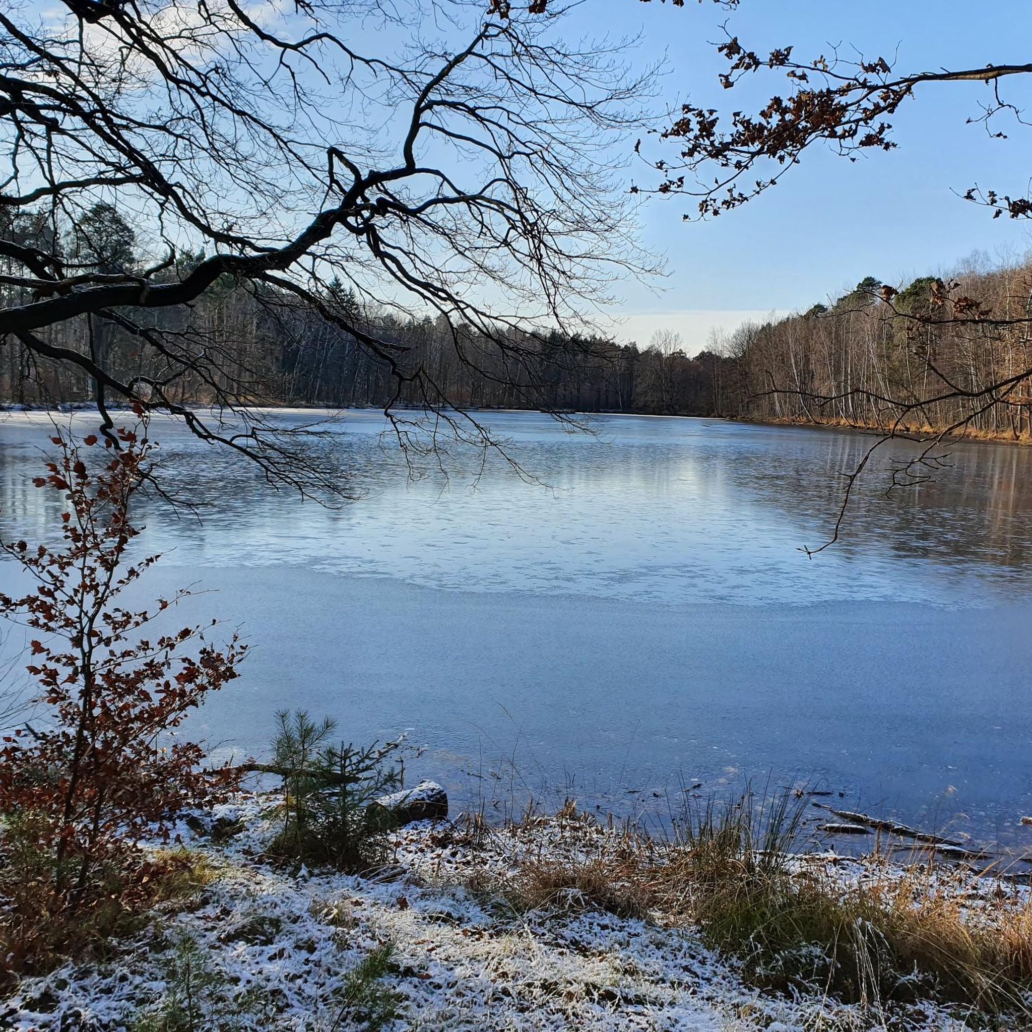
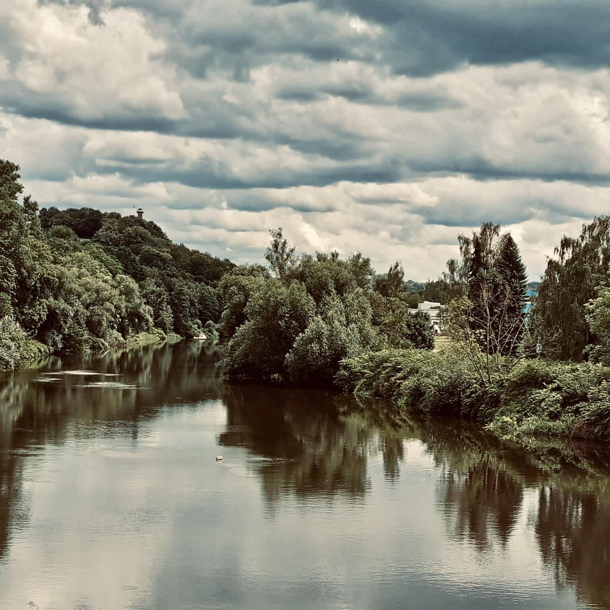
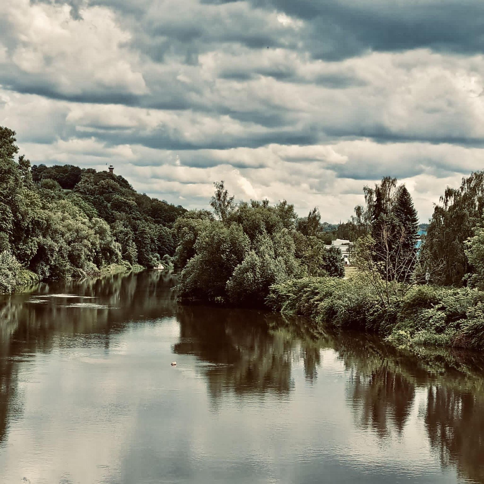
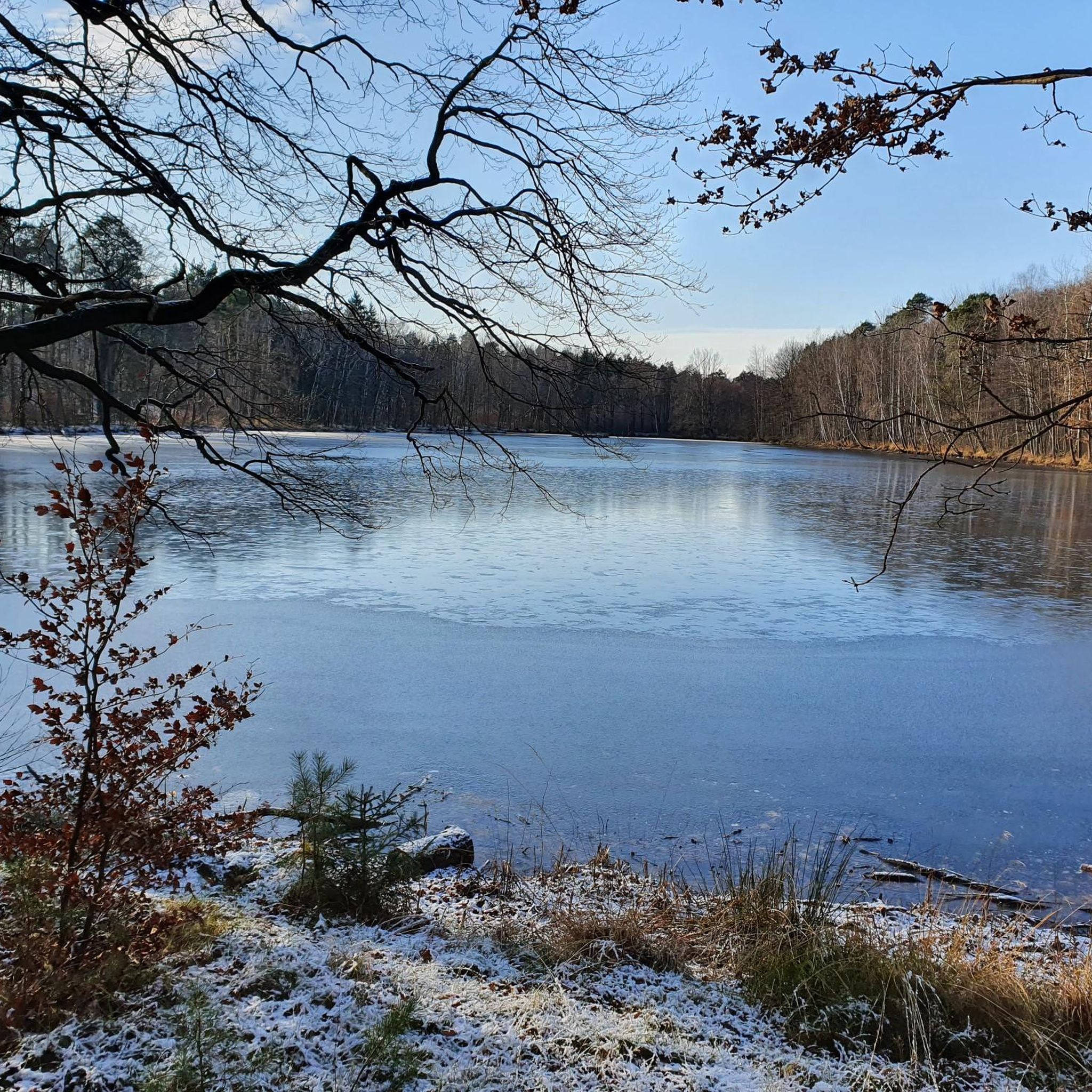
Tips from the Community

You can find the cross here: https://www.komoot.com/de-de/highlight/7478202
0
0
As part of the 700th anniversary celebrations of the city of Colditz, an official Helmut Drechsler tribute took place on May 30, 1965, at the Kulturhaus. On the same day, the hiking trail in the Kohlbach valley was named after Helmut Drechsler. Additionally, a memorial stone was unveiled in the wooded area near Hohnbach in honor of the renowned wildlife photographer. https://www.lvz.de/lokales/leipzig-lk/grimma/ostdeutschlands-beruehmtester-tierfotograf-der-aufstieg-und-fall-des-helmut-drechsler-OHLIHPAVFVCFEXYTR6UNKVBYJQ.html
0
0

Good starting point for your hikes
0
0

With a sign showing where to find the Pathe spring.
0
0
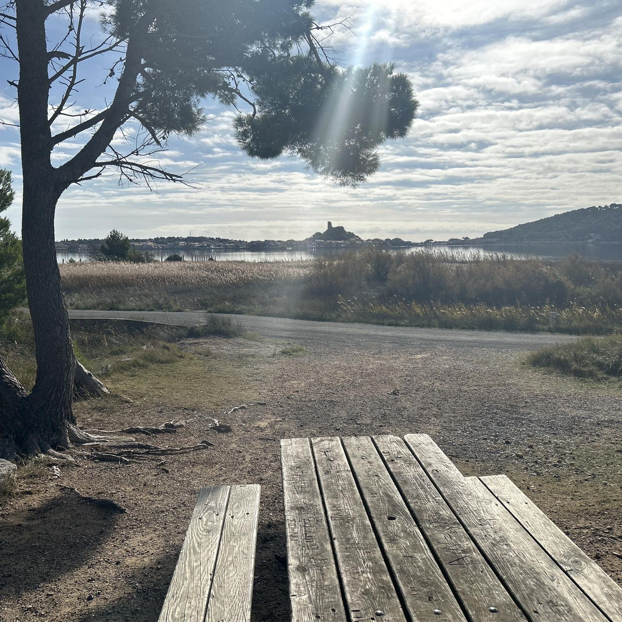
Beautiful place with many places to rest.
0
0
Nice resting place when walking around the Altteich.
1
0
Great starting point for a tour through the NSG Kohlbachtal
1
0

Who should empty the garbage cans???
0
1
Frequently Asked Questions
Are there easy hiking trails in Kohlbachtal suitable for beginners?
Yes, Kohlbachtal offers many accessible options. Out of the 28 available routes, 19 are rated as easy, featuring mild elevation changes and well-maintained paths. These trails are perfect for those new to hiking or looking for a relaxed walk.
What is the typical length and duration of hikes in Kohlbachtal?
Hikes in Kohlbachtal vary in length and duration. You can find shorter paths like the Kohlbachtal Forest Path – Neuteich Pond in Kohlbachtal loop from Colditz, which is 4.2 miles (6.7 km) and takes about 2 hours to complete. Longer options, such as the View of Colditz Castle – Neuteich Pond in Kohlbachtal loop from Kohlbachtal, extend to 8.1 miles (13.0 km) and typically require around 3 hours 25 minutes.
Where can I find parking for the hiking trails in Kohlbachtal?
Parking is generally available near the trailheads. For example, the Cotta-Platz forest car park – Old Pond (Kohlbach Valley) loop from Kohlbachtal route starts from the Cotta-Platz forest car park, indicating a designated parking area. Look for similar starting points on other routes for convenient access.
Are there family-friendly hiking options in Kohlbachtal?
Absolutely. The region's gentle valleys and mild elevation changes make many trails suitable for families. Easy routes, often leading past serene ponds and through woodlands, provide a pleasant experience for all ages. Consider trails that are shorter in distance and have minimal ascents for younger children.
Can I bring my dog on the hiking trails in Kohlbachtal?
Yes, Kohlbachtal's natural setting with its forest paths and open areas around water features is generally very dog-friendly. Most trails are suitable for walks with your canine companion, but always ensure your dog is kept on a leash and that you clean up after them to preserve the natural environment for everyone.
What is the best time of year to hike in Kohlbachtal?
Kohlbachtal is enjoyable throughout much of the year. Spring brings lush greenery and blooming flora, while autumn offers vibrant fall colors in the woodlands. Summer is pleasant for walks around the ponds. Even in winter, with appropriate gear, the serene, snow-dusted landscapes can be beautiful, especially on the less challenging paths.
Are there any circular hiking routes in Kohlbachtal?
Yes, many of the trails in Kohlbachtal are designed as loops, offering varied scenery without retracing your steps. An example is the Neuteich Pond in Kohlbachtal – Jägerstein Shelter loop from Kohlbachtal, which takes you through woodlands and past the pond in a circular fashion.
What kind of natural attractions or viewpoints can I expect to see along the trails?
Kohlbachtal is characterized by its serene ponds and woodlands. You can explore highlights such as the Old Pond (Kohlbach Valley), the Altteich Spring, and the Deadwood habitat in Kohlbachtal. Some routes also offer distant views, like the one towards Colditz Castle.
Are there any shelters or huts along the hiking routes in Kohlbachtal?
Yes, you can find shelters and huts that offer a place to rest or take cover. For instance, the Friederike Hut at the firefighting pond and the Shelter and frog life cycle information board at Lutherweg (Neuteich) are notable spots where hikers can take a break.
What do other hikers enjoy most about hiking in Kohlbachtal?
The area is highly rated by the komoot community, with an average score of 4.6 stars from over 650 reviews. Reviewers often praise the tranquil forest sections, the peaceful atmosphere around the ponds, and the well-maintained paths that make for an enjoyable and accessible hiking experience.
Are there any moderate hiking trails for those seeking a bit more challenge?
Yes, while many trails are easy, Kohlbachtal also offers moderate options for hikers looking for a slightly longer or more varied experience. There are 8 moderate routes available, such as the Picnic Area in Kohlbachtal – Jägerstein Shelter loop from Kohlbachtal, which covers 6.3 miles (10.2 km) and features gentle ascents and descents through the landscape.
Most popular routes in Kohlbachtal
Most popular attractions in Kohlbachtal

Get inspired with the komoot mobile app


Explore more
Browse the best Hikes in other regions.
