The best gravel rides around Nantyglo And Blaina
3.7
(9)
93
riders
12
rides
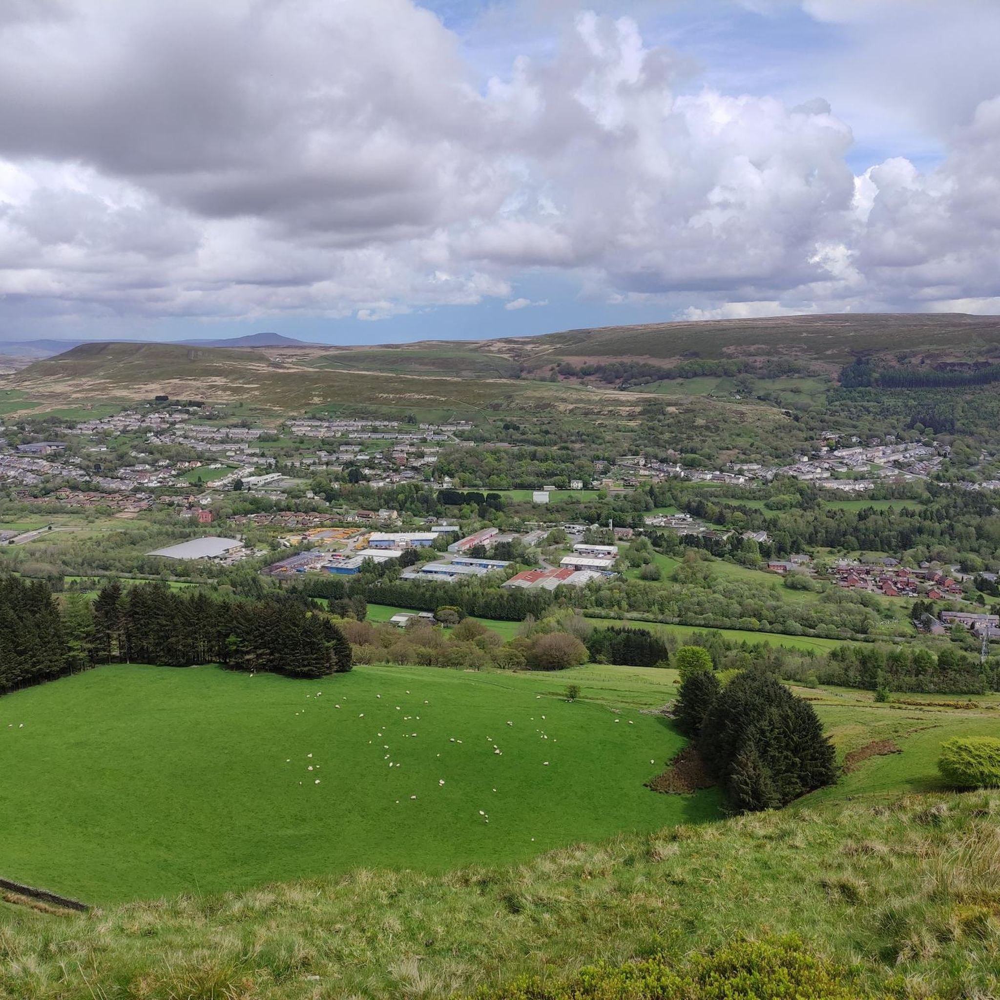
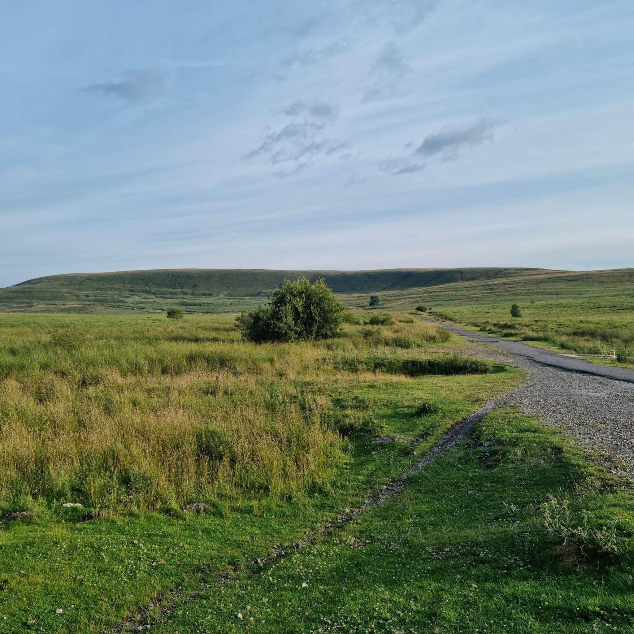
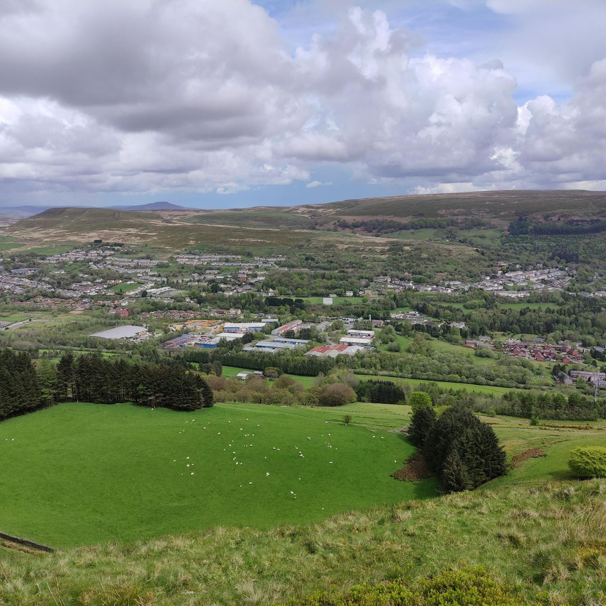
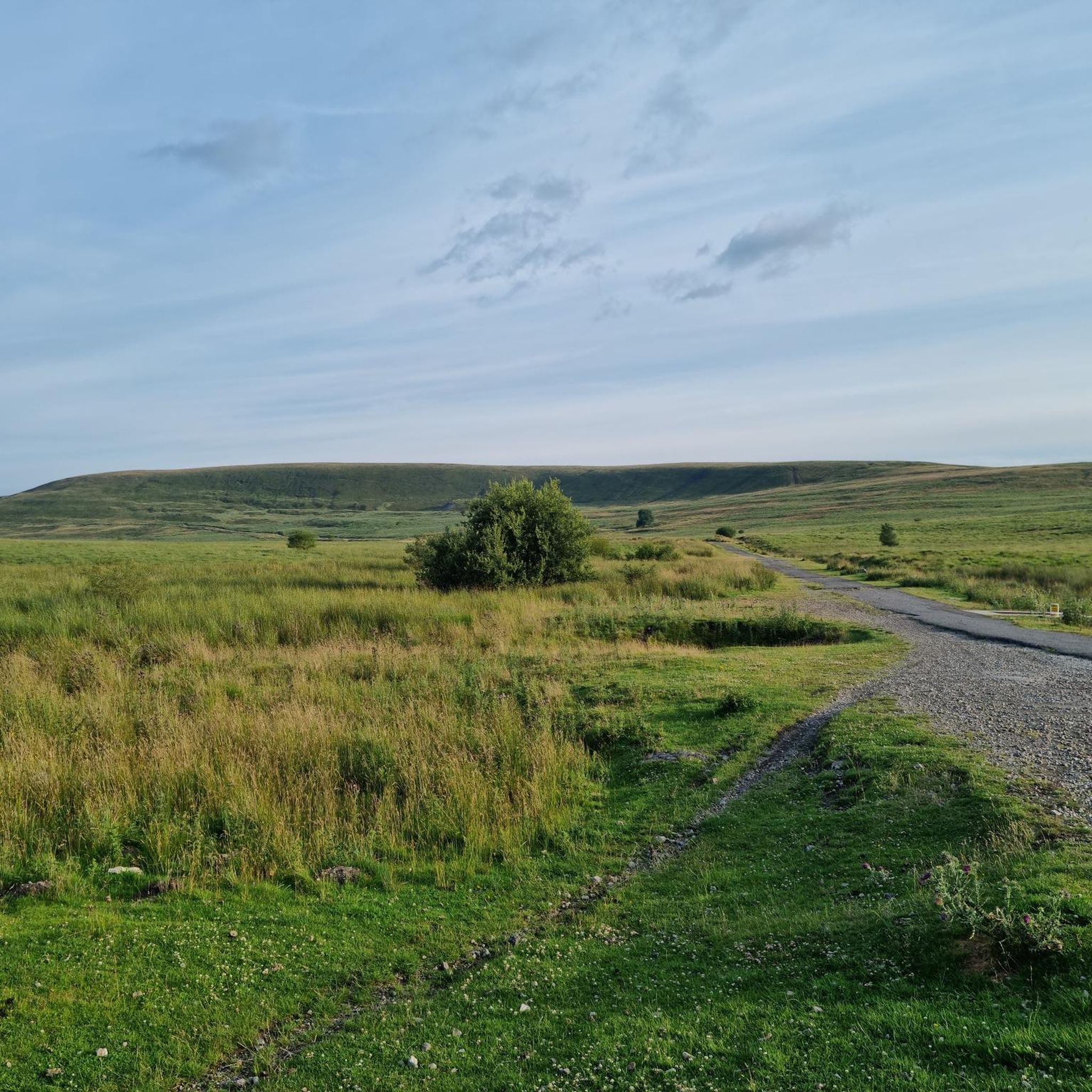
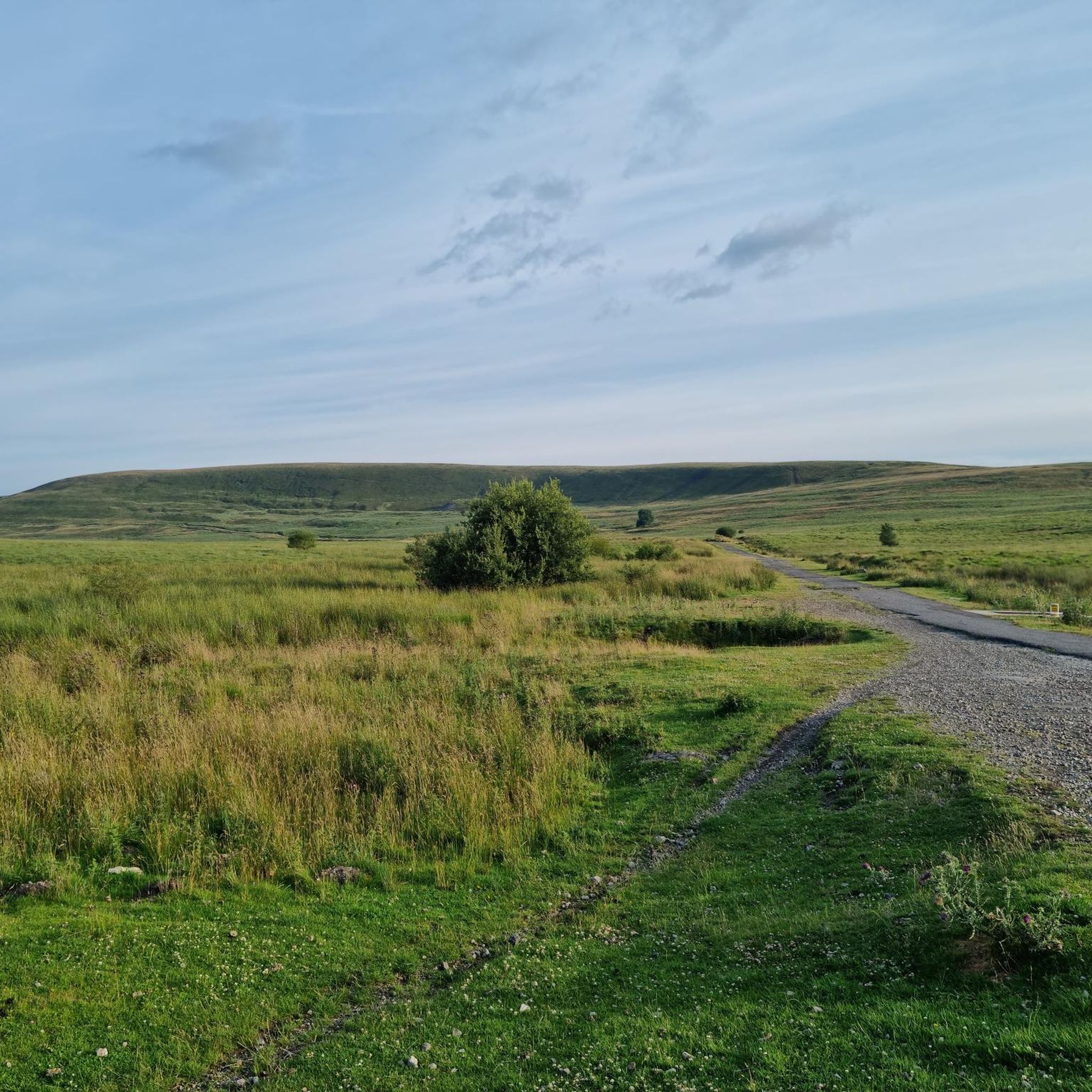
Gravel biking around Nantyglo And Blaina offers diverse landscapes and historical routes within the Ebbw Fach Valley. The region features varied terrain, including remnants of old railways and remote drover's tracks, providing a mix of surfaces for off-road cycling. Situated on the fringe of the Bannau Brycheiniog (Brecon Beacons) National Park, the area includes mountainous and hilly environments, such as Mynydd Carn-y-Cefn, alongside woodlands and lakes like Cwmcelyn Pond. This combination creates a challenging and scenic setting for gravel cyclists.
…Last updated: May 22, 2026
4.2
(6)
37
riders
69.0km
05:51
900m
890m
Embark on a challenging gravel biking adventure through the Bannau Brycheiniog / Brecon Beacons National Park. This difficult 42.9-mile (69.0 km) loop from Blaenavon offers a rugged and varied terrain,…
10
riders
44.3km
02:43
510m
510m
Hard gravel ride. Very good fitness required. Mostly paved surfaces. Suitable for all skill levels.

Sign up for free
8
riders
28.4km
01:53
170m
170m
Moderate gravel ride. Good fitness required. Mostly paved surfaces. Suitable for all skill levels.
6
riders
57.6km
03:44
710m
710m
Hard gravel ride. Very good fitness required. Mostly paved surfaces. Suitable for all skill levels.
9
riders
45.8km
03:08
720m
720m
Hard gravel ride. Very good fitness required. Mostly paved surfaces. Suitable for all skill levels.
Get access to more routes and recommendations from other explorers.
Sign up for free
Already have an account?
Our route recommendations are based on thousands of hikes, rides, and runs completed by other people on komoot.
Start today with a free account
Your next adventure awaits.
Login or Signup
Tips from the Community

Very nice bridge not for traffic though as it’s a single lane track with passing gaps for pedestrians.
0
0

is the largest stillwater reservoir in the central Brecon Beacons at 318 acres
0
0

It's a beautiful canal but what is amazing is that it runs all the way to Brecon
0
0

Great cruise down into Abergavenny for coffee!
0
0

If riding across bridge into Crick, take the first right hand road (next to the pub) to avoid traffic going up the hill and into town. It also takes you straight tup to the high st.
0
0
A wooden drawbridge carried the road over the canal and was replaced by a fixed bridge after navigation on the canal ceased in the 1930s. Before the canal reopened to boats in 1970, a steel drawbridge with an electric operating mechanism was installed. There are four other drawbridges along the canal to the west. They are for farmers to access fields and are less elaborate than the one at Talybont. Drawbridges saved the canal company the expense of building stone bridges over the canal at these locations.
0
0

v cold draught comes out! in all weathers
0
0
Frequently Asked Questions
What kind of terrain can I expect on gravel bike trails around Nantyglo And Blaina?
The region offers a diverse mix of terrain, characteristic of Wales' excellent gravel riding. You'll encounter historical pathways, including remnants of old railways and remote drover's tracks. The surfaces are often rocky rather than muddy, making for good year-round riding. Expect varied landscapes from shady woodlands and valleys to remote hilltops and mountainous environments, especially as the area borders the Bannau Brycheiniog (Brecon Beacons) National Park.
Are there gravel bike trails suitable for beginners or those looking for an easier ride?
While many routes in the area are challenging, there are options for moderate skill levels. For example, the Gilwern Boat Hire loop from Abergavenny is a moderate 28.4 km trail that takes about 1 hour 52 minutes to complete, offering a less strenuous option through the area near Abergavenny.
What are some notable viewpoints or landmarks I can see along the gravel bike routes?
The area boasts several scenic spots and historical landmarks. You might encounter stunning views from Blorenge summit or the iconic Sugar Loaf Summit. Other natural highlights include Keeper's Pond (Pen-Ffordd-Goch Pond) and The Punchbowl Lake, which provide picturesque backdrops to your ride.
Are there any circular gravel bike routes in the Nantyglo And Blaina area?
Yes, many of the gravel bike routes in the region are circular, allowing you to start and finish at the same point. A popular example is the challenging Talybont Reservoir – Talybont Reservoir loop from Crickhowell, which circles the reservoir and offers beautiful views. Another option is the Llanelly Quarry Limekilns loop from Ebbw Vale Town, a difficult 57.6 km route.
What is the best time of year for gravel biking in Nantyglo And Blaina?
Thanks to the region's often rocky terrain, gravel biking around Nantyglo And Blaina can be enjoyed year-round, as it tends to be less muddy than other areas. However, for the most pleasant conditions, spring and autumn offer mild temperatures and beautiful scenery. Summer is also great, but be prepared for potentially warmer weather, especially on exposed mountain passes.
How many gravel bike trails are available in the Nantyglo And Blaina area?
There are over 15 gravel bike trails available for exploration around Nantyglo And Blaina. These routes cater to various skill levels, with a good selection of moderate and difficult options to choose from.
What do other gravel bikers say about the routes in Nantyglo And Blaina?
The gravel biking routes in Nantyglo And Blaina are highly regarded by the komoot community, holding an average rating of 3.7 stars from numerous reviews. Over 100 gravel bikers have used komoot to explore the area, often praising the diverse terrain and the challenging, scenic environments.
Are there any long-distance gravel bike routes for experienced riders?
Yes, experienced riders looking for a significant challenge will find several long-distance options. The Talybont-on-Usk loop from Blaenavon is a particularly demanding route, covering 69.0 km and exploring the Usk Valley and surrounding areas, typically taking nearly 6 hours to complete.
Is public transport available to access gravel biking routes in the area?
While specific direct public transport links to every trailhead might vary, the broader Blaenau Gwent area emphasizes cycling and walking infrastructure. You can often find bus services connecting towns like Nantyglo and Blaina, which may provide access points to the wider network of trails, including sections of the National Cycle Network. It's advisable to check local bus schedules for routes that pass near your desired starting points.
Where can I find information about local amenities like cafes or pubs near the trails?
While specific cafes and pubs directly on every trail are not detailed, the towns and villages within the Ebbw Fach Valley, such as Nantyglo and Blaina, as well as nearby Abergavenny and Crickhowell, offer various amenities. These locations are good starting or ending points for rides and typically have options for refreshments and meals. For more general information about the region's offerings, you might find resources on Visit Wales helpful.
Are there any routes that explore the industrial heritage of the region?
The region's industrial past has left a legacy of historical pathways, including old railway lines used for quarrying. These often form part of the current cycling paths, offering a unique blend of natural beauty and historical interest. For example, the Llanelly Quarry Limekilns loop from Govilon is a challenging 31.2 km route that takes you through an area rich in this heritage.
What kind of elevation changes can I expect on the gravel bike trails?
The area around Nantyglo And Blaina features significant elevations, being on the fringe of the Brecon Beacons National Park. Many routes involve considerable climbing, with some difficult trails featuring over 800 meters of elevation gain, such as the Talybont-on-Usk loop from Blaenavon. Even moderate routes can include noticeable ascents, so be prepared for hilly environments.
Most popular attractions around Nantyglo And Blaina

Get inspired with the komoot mobile app


Explore more
Browse the best Gravel rides in other regions.
