Lands Common To Brancepeth And Brandon And Byshottles
Lands Common To Brancepeth And Brandon And Byshottles
The best gravel rides around Lands Common To Brancepeth And Brandon And Byshottles
4.2
(32)
289
riders
11
rides
Gravel biking around Lands Common To Brancepeth And Brandon And Byshottles offers a network of trails primarily following river valleys and established cycle paths. The landscape features gentle elevations and open areas, providing varied terrain suitable for gravel cyclists. This region is characterized by its accessible paths along waterways like the River Deerness and River Browney, often incorporating sections of the National Cycle Route. The area provides a mix of flat sections and moderate climbs, making it suitable for different…
Last updated: May 22, 2026
5.0
(1)
21
riders
23.9km
01:16
120m
120m
Easy gravel ride. Great for any fitness level. Mostly paved surfaces. Suitable for all skill levels.
5.0
(3)
19
riders
52.5km
02:55
420m
420m
Moderate gravel ride. Good fitness required. Mostly paved surfaces. Suitable for all skill levels.

Sign up for free
3.0
(1)
32
riders
45.3km
02:46
430m
430m
Moderate gravel ride. Good fitness required. Mostly paved surfaces. Suitable for all skill levels.
4.6
(5)
24
riders
35.2km
02:02
400m
400m
Moderate gravel ride. Good fitness required. Mostly paved surfaces. Suitable for all skill levels.
5.0
(2)
17
riders
31.6km
01:40
200m
200m
Moderate gravel ride. Good fitness required. Mostly paved surfaces. Suitable for all skill levels.
Get access to more routes and recommendations from other explorers.
Sign up for free
Already have an account?
Our route recommendations are based on thousands of hikes, rides, and runs completed by other people on komoot.
Start today with a free account
Your next adventure awaits.
Login or Signup
Popular around Lands Common To Brancepeth And Brandon And Byshottles
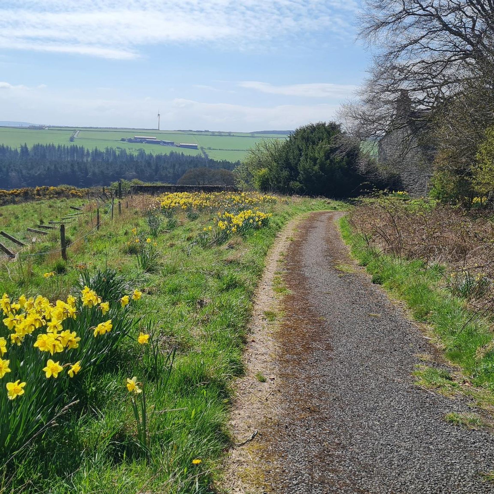
Road Cycling Routes around Lands Common To Brancepeth And Brandon And Byshottles
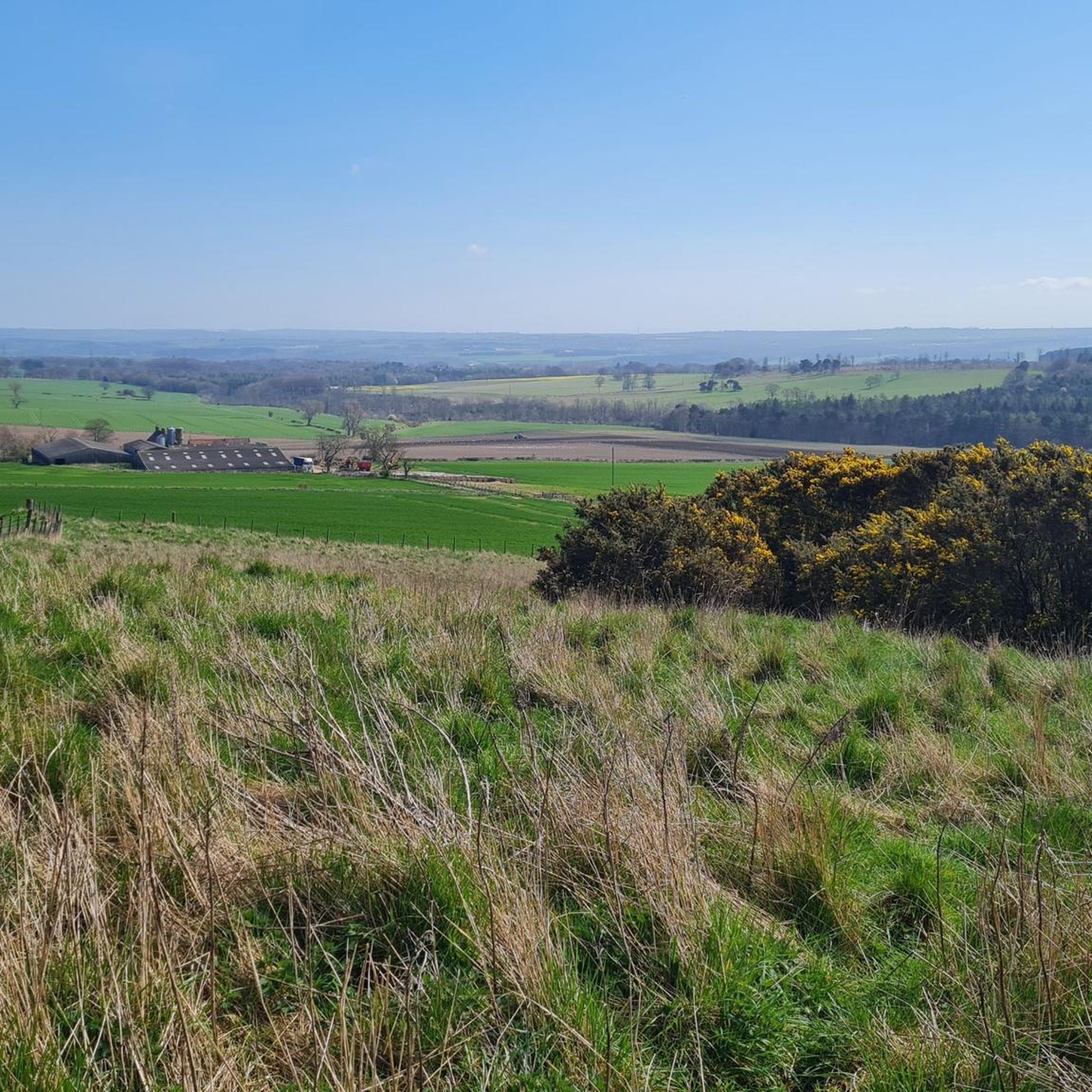
Cycling around Lands Common To Brancepeth And Brandon And Byshottles
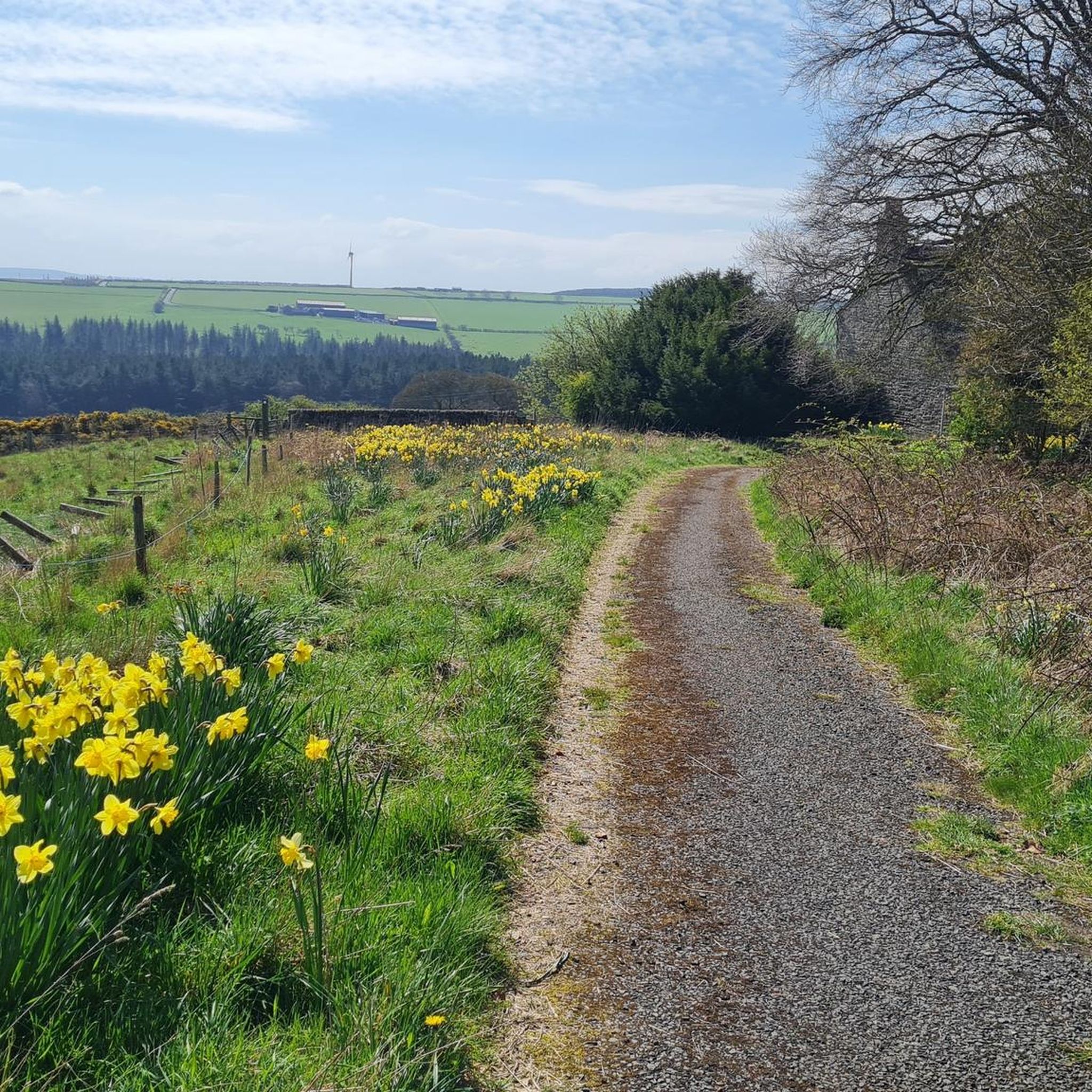
Hiking around Lands Common To Brancepeth And Brandon And Byshottles
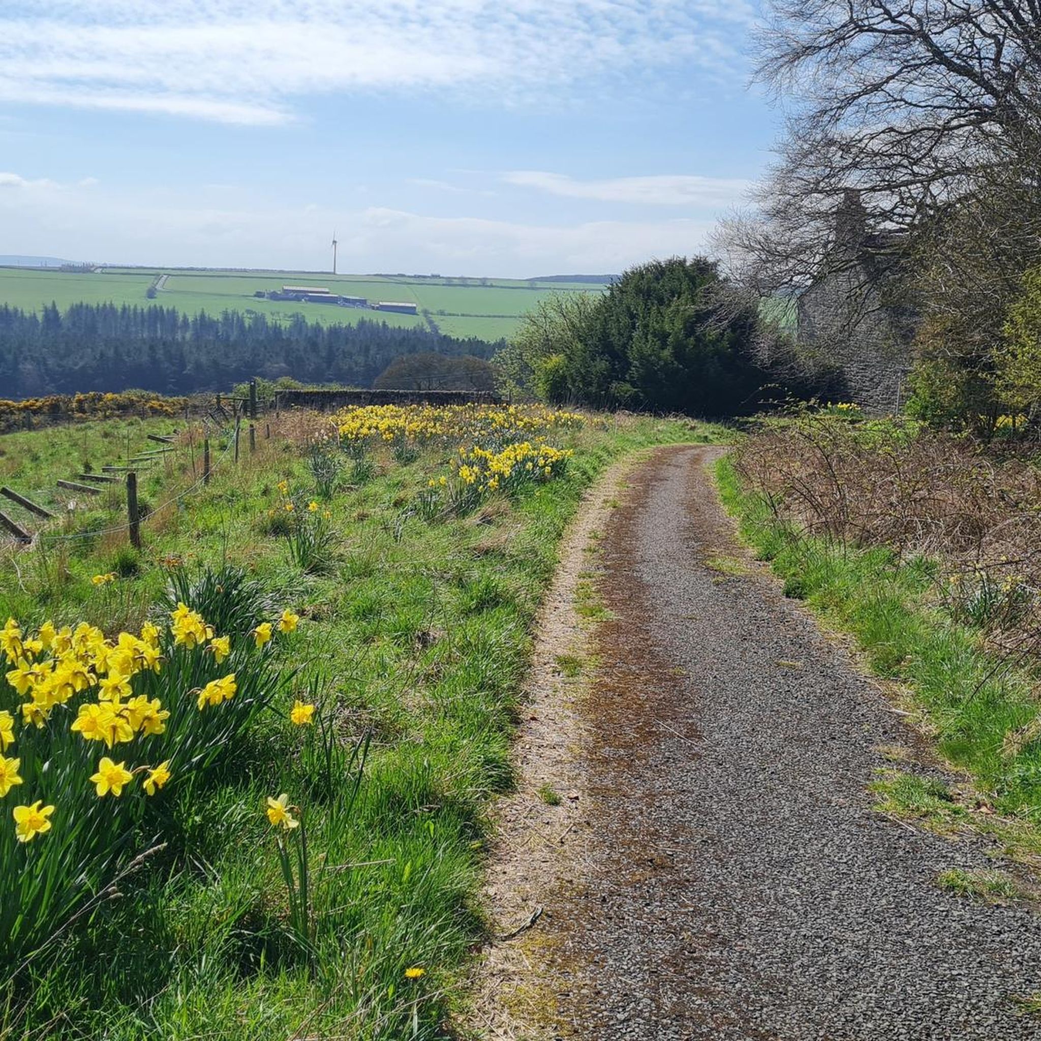
MTB Trails around Lands Common To Brancepeth And Brandon And Byshottles
Running Trails around Lands Common To Brancepeth And Brandon And Byshottles
Tips from the Community

Hard packed former railway, now a popular walkway for cyclists and walkers. A good route to Bishop Auckland and beyond. Can get busy on weekends.
0
0

From Hownsgill Viaduct you can see for miles around whilst standing on the old railway bridge. The actual bridge has elevated side wall protector barriers, this to stop anything going over the side, the drop below is considerably higher than a house. There were high winds on the bridge on the day I rode over, the barriers also protect from the weather. You get very good views over both sides of the bridge.
0
0


Viaduct is now open, the paving is slightly bumpy though!
0
0
Great off-road route with an extremely gentle slope in a westerly direction!
0
0

Croxdale Viaduct, which takes the East Coast Main Line over the River Wear near Croxdale and Sunderland Bridge, is an impressive 11-arch span built by the North Eastern Railway in 1872.
0
0

An easy track with techy bits like roots, sloping sides and a decent climb needing a bit of speed.
0
0

Willington is a former mining town based on the Brandon to Bishop Auckland disused railway, which use to serve the coal mining industry. It's colliery closed in 1967. There are some local shops and plenty of benches, so serves as a good rest stop.
1
0
Frequently Asked Questions
How many gravel bike trails are available in Lands Common To Brancepeth And Brandon And Byshottles?
There are over a dozen gravel bike routes in the area, offering a variety of experiences. These include options ranging from easy to challenging, primarily following river valleys and established cycle paths.
What kind of terrain can I expect on gravel bike trails in this region?
The terrain primarily features river valleys, such as those of the River Deerness and River Browney, alongside established cycle paths. You'll encounter gentle elevations and open areas, providing a mix of flat sections and moderate climbs suitable for various skill levels.
Are there easy gravel bike routes suitable for beginners or families?
Yes, the region offers several easy gravel bike routes perfect for beginners or families. A notable option is the Lanchester Valley Path – River Browney loop from Lanchester, which is an easy 14.9-mile (23.9 km) path exploring the Lanchester Valley with gentle gradients.
Are there any challenging gravel cycling routes for experienced riders?
For more experienced riders seeking a challenge, there are several moderate to difficult routes. The View of Lanchester Valley – Deerness path loop from Tow Law is a 32.7-mile (52.7 km) trail with significant elevation gain, leading through river valleys and open countryside.
What is the typical length and duration of gravel bike routes in this area?
Gravel bike routes in Lands Common To Brancepeth And Brandon And Byshottles vary in length. You can find shorter routes like the Lanchester Valley Path – River Browney loop from Lanchester at about 15 miles (24 km) taking around 2 hours. Longer routes, such as the River Deerness – Deerness path loop from Butterby Oxbow, extend to over 28 miles (45 km) and can take nearly 3 hours to complete.
Are there circular gravel bike routes available?
Many of the gravel bike routes in the region are designed as loops, allowing you to start and finish at the same point. Examples include the Deerness path – River Deerness loop from Bearpark and the National Cycle Route – River Deerness loop from Durham School, both offering scenic circular journeys.
What can I see along the gravel bike trails, are there any scenic viewpoints or landmarks?
Yes, the trails offer access to several points of interest. You can find scenic views of the Lanchester Valley and ride alongside the River Deerness. Nearby attractions include the historic Durham Castle and the magnificent Durham Cathedral, both UNESCO World Heritage Sites. The Broompark Picnic Area & Railway Paths Hub is also a great spot along the routes.
What do other gravel bikers enjoy most about gravel biking in Lands Common To Brancepeth And Brandon And Byshottles?
The area is highly rated by the komoot community, with an average score of 4.4 stars. Reviewers often praise the varied terrain, the peaceful riverside paths, and the well-maintained sections of the National Cycle Route that make for enjoyable rides.
Is there public transport access to the gravel trails in Brandon and Byshottles?
Many of the trails in the region are accessible from towns and villages that have public transport links. For specific route starting points, it's advisable to check local bus services or train connections to nearby hubs like Durham, which can provide access to the wider trail network.
Are there any hidden gem gravel bike routes in Lands Common To Brancepeth And Brandon And Byshottles?
While many routes follow well-known paths, exploring the smaller offshoots from the main river trails can reveal quieter sections. The network of paths around the River Browney, for instance, offers peaceful stretches away from busier areas, providing a sense of discovery.
What is the best time of year for gravel biking in this region?
Spring and autumn generally offer the most pleasant conditions for gravel biking, with milder temperatures and beautiful scenery. Summer is also popular, but trails can be busier. While winter riding is possible, be prepared for potentially muddy sections and shorter daylight hours.
Most popular routes around Lands Common To Brancepeth And Brandon And Byshottles
Most popular attractions around Lands Common To Brancepeth And Brandon And Byshottles

Get inspired with the komoot mobile app


Explore more
Browse the best Gravel rides in other regions.
