Lands Common To Brancepeth And Brandon And Byshottles
Lands Common To Brancepeth And Brandon And Byshottles
The best MTB trails around Lands Common To Brancepeth And Brandon And Byshottles
4.7
(72)
291
riders
24
rides
Mountain biking around Lands Common To Brancepeth And Brandon And Byshottles offers diverse terrain, characterized by former railway lines converted into cycle paths. The region features the picturesque River Deerness valley, providing scenic routes through rural landscapes. Riders will find a mix of woodlands and farmland, with routes often utilizing good pathways. These natural features contribute to accessible and enjoyable cycling experiences.
Best mountain bike trails around Lands Common To Brancepeth And Brandon And Byshottles
- The most popular mountain bike…
Last updated: October 12, 2026
4.9
(38)
28
riders
26.2km
01:36
240m
240m
Easy mountain bike ride. Great for any fitness level. Suitable for all skill levels.
5.0
(1)
28
riders
61.5km
03:40
430m
430m
Moderate mountain bike ride. Good fitness required. Suitable for all skill levels.

5.0
(5)
18
riders
25.3km
01:32
250m
250m
Easy mountain bike ride. Great for any fitness level. Suitable for all skill levels.
8
riders
20.3km
01:23
230m
230m
Easy mountain bike ride. Great for any fitness level. Suitable for all skill levels.
2
riders
50.5km
03:08
520m
520m
Moderate mountain bike ride. Good fitness required. Suitable for all skill levels.
Get access to more routes and recommendations from other explorers.
Already have an account?
Our route recommendations are based on thousands of hikes, rides, and runs completed by other people on komoot.
Start today with a free account
Your next adventure awaits.
Popular around Lands Common To Brancepeth And Brandon And Byshottles
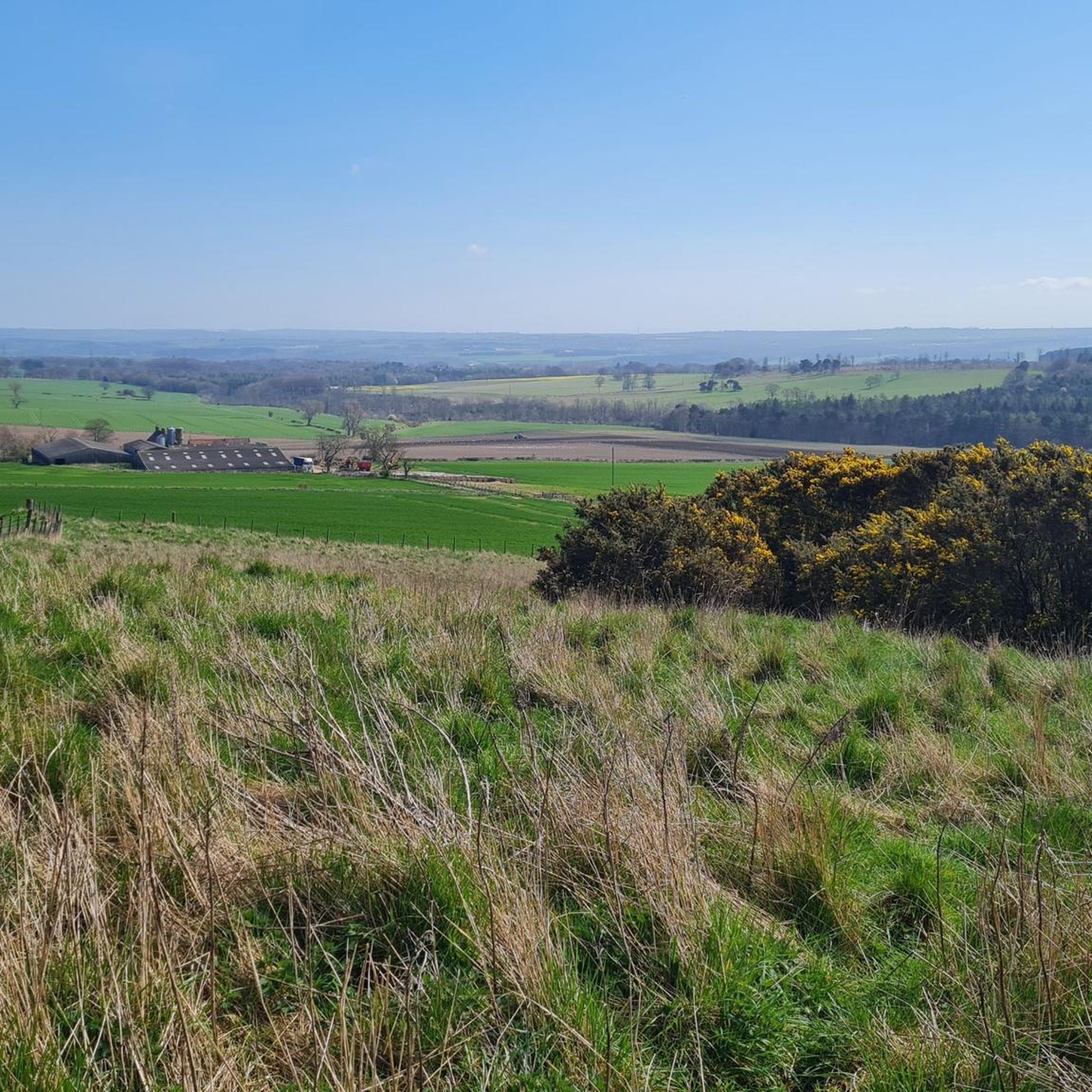
Cycling around Lands Common To Brancepeth And Brandon And Byshottles
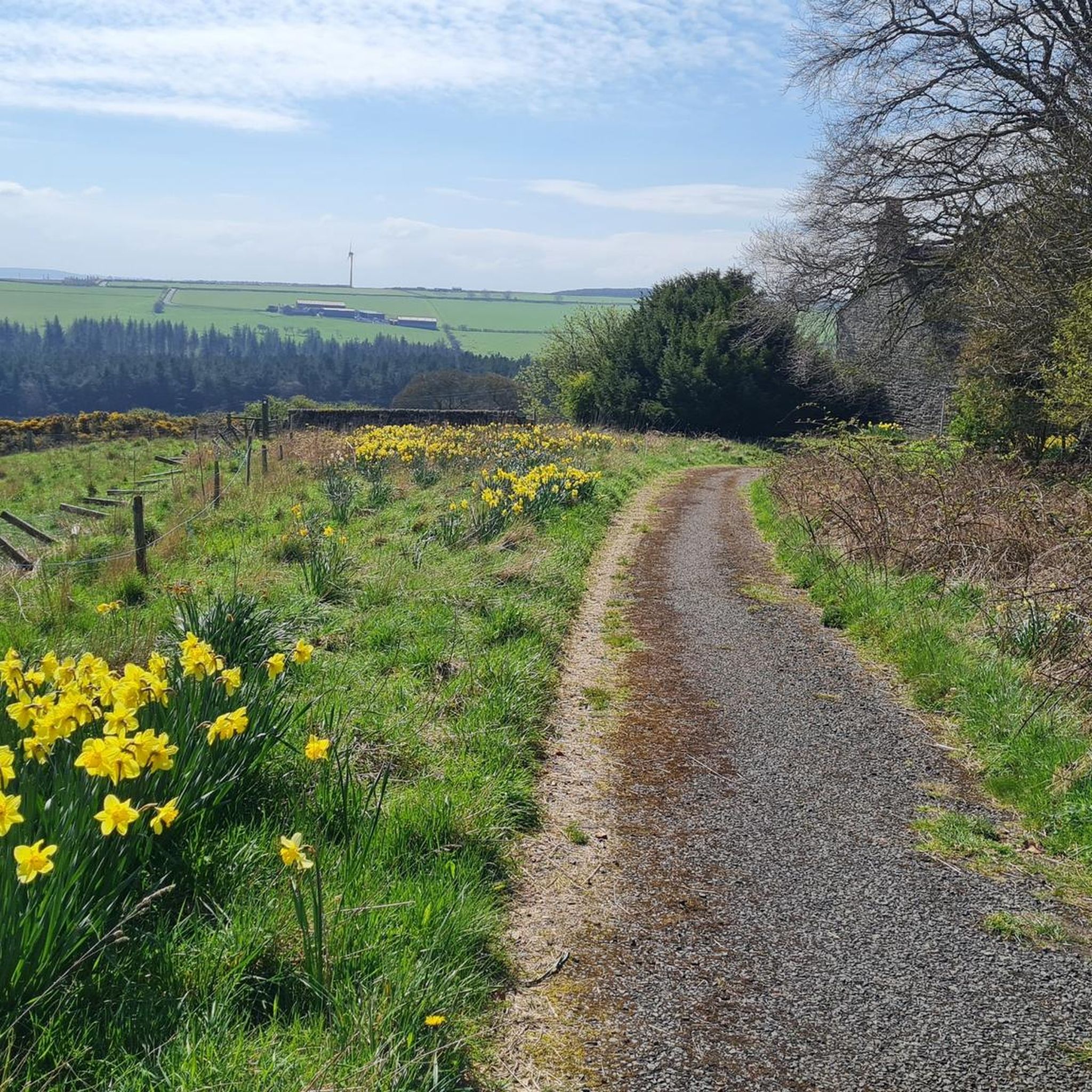
Road Cycling Routes around Lands Common To Brancepeth And Brandon And Byshottles
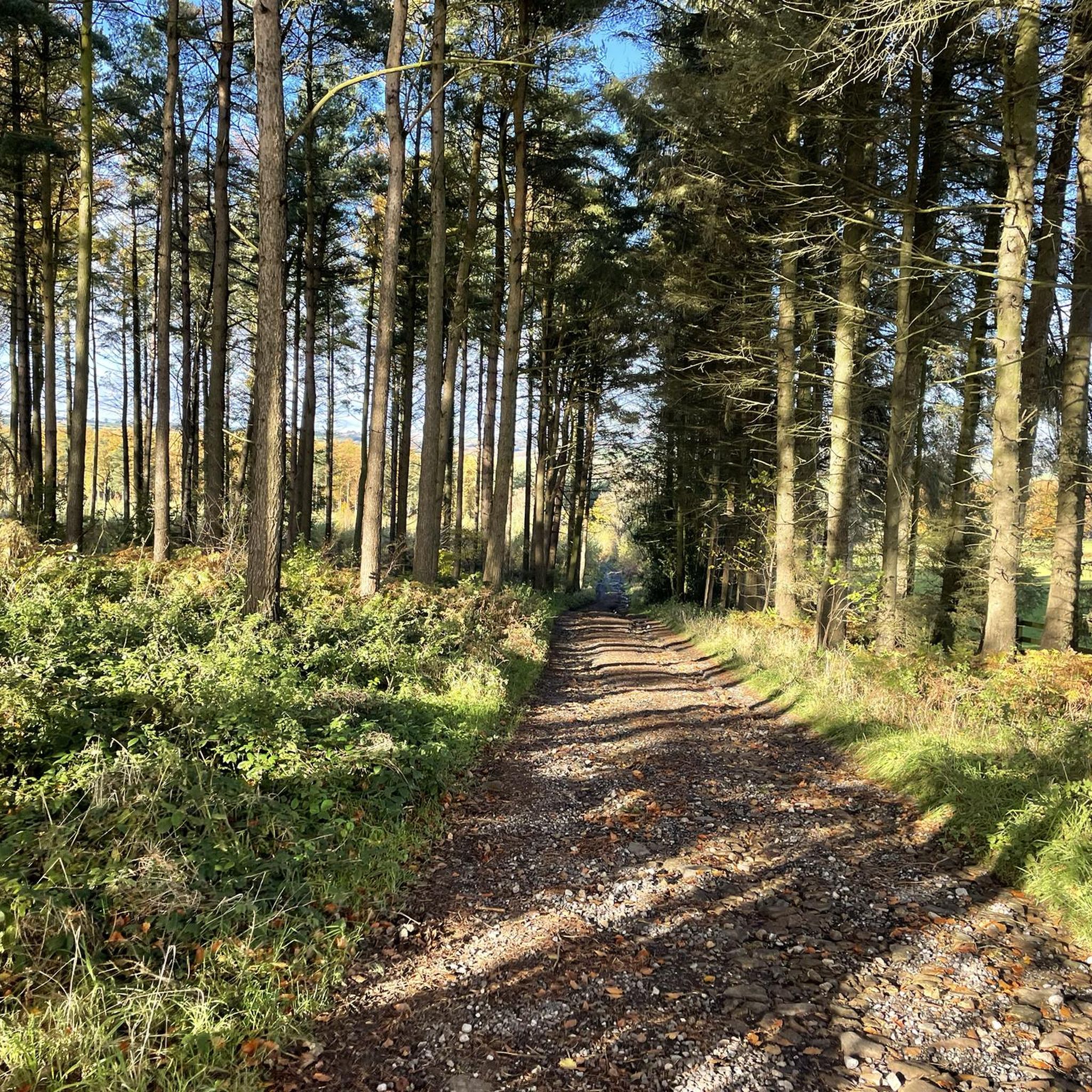
Running Trails around Lands Common To Brancepeth And Brandon And Byshottles
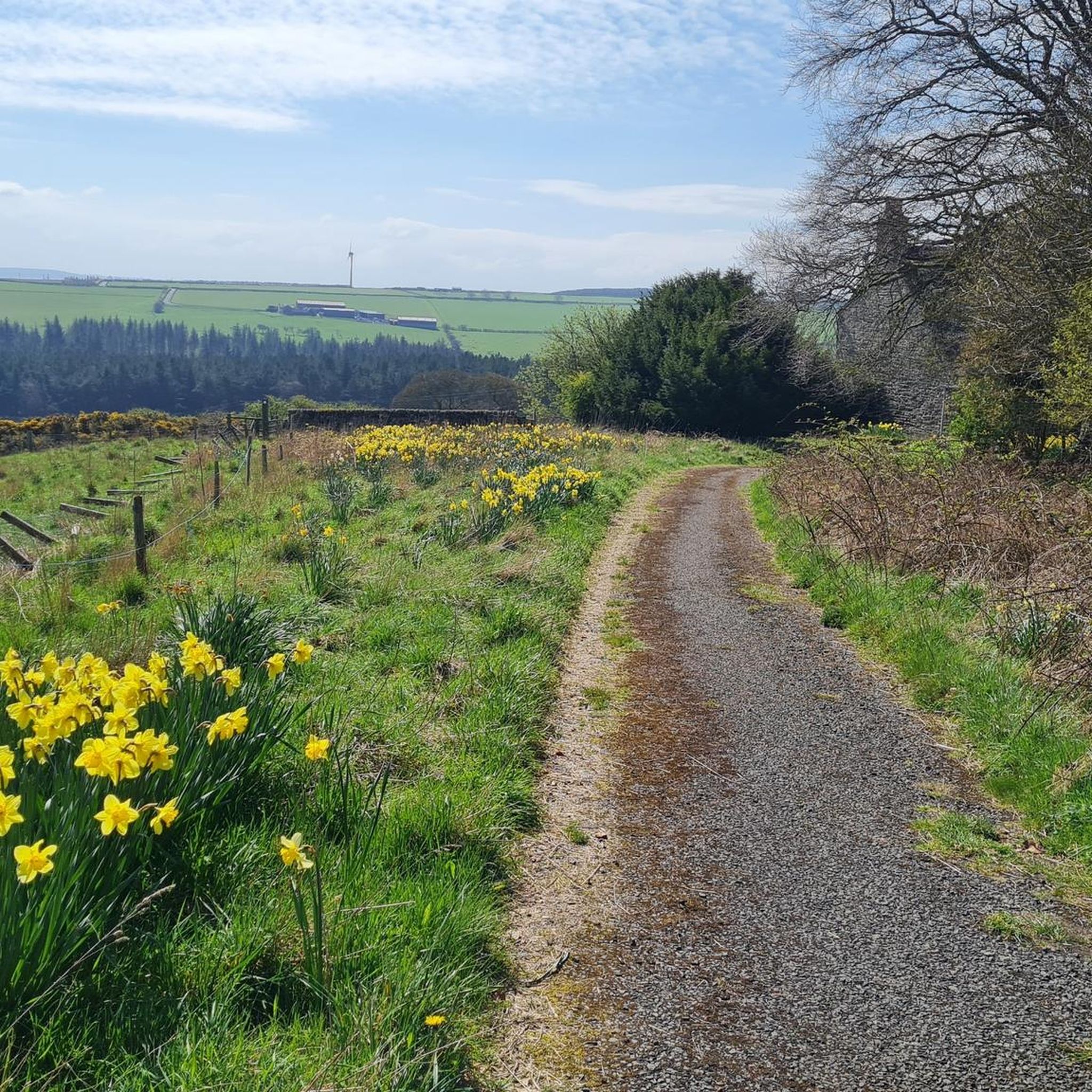
Hiking around Lands Common To Brancepeth And Brandon And Byshottles
Gravel biking around Lands Common To Brancepeth And Brandon And Byshottles
Tips from the Community


From Hownsgill Viaduct you can see for miles around whilst standing on the old railway bridge. The actual bridge has elevated side wall protector barriers, this to stop anything going over the side, the drop below is considerably higher than a house. There were high winds on the bridge on the day I rode over, the barriers also protect from the weather. You get very good views over both sides of the bridge.
0
0

Viaduct is now open, the paving is slightly bumpy though!
0
0

An easy track with techy bits like roots, sloping sides and a decent climb needing a bit of speed.
0
0

This is such a sad place to pass,seeing the flowers laid gor people taking there own lives.the positive thing is they have samaratun talk posters across the bridge for anybody suffering 😢
0
0
A nice secluded area, this place was for monks to retreat from there roles at the cathedral It is a little tricky to find but so worth the trip
0
0


Frequently Asked Questions
How many mountain bike trails are available in Lands Common To Brancepeth And Brandon And Byshottles?
There are over 20 mountain bike trails in the area, offering a diverse range of experiences. You'll find a good mix of easy and moderate routes to explore.
What kind of terrain can I expect on the mountain bike trails?
The terrain is quite varied, characterized by former railway lines that have been converted into scenic cycle paths. You'll encounter a mix of woodlands and farmland, with routes often utilizing good pathways. Some segments may be unpaved and challenging, while many are on mostly paved surfaces, making them accessible for different riders.
Are there mountain bike trails suitable for beginners or families?
Yes, the area offers several easy routes perfect for beginners and families. For example, the River Deerness – Deerness Valley Way loop from Willington is an easy 16.3-mile trail that follows the scenic Deerness Valley Way, ideal for a relaxed ride.
Are there any challenging mountain bike routes for experienced riders?
While the area is known for its accessible routes, there are moderate options that provide a longer and more varied challenge. The River Deerness – Hownsgill Viaduct loop from Willington is a moderate 38.3-mile path offering varied terrain, including sections along the River Deerness, suitable for those looking for a longer ride.
What natural features or landmarks can I see while mountain biking?
You'll often ride alongside the picturesque River Deerness, which runs through the valley. The area also features woodlands and farmland, providing attractive backdrops. For a notable landmark, consider routes that pass near Durham Castle or offer views of Durham Cathedral from Prebends Bridge.
Are there any historical sites accessible by mountain bike?
Yes, the region has a rich history. While mountain biking, you might pass through areas with historical significance. Brancepeth itself is known for Croxdale Hall and Chapel, and the broader area includes Durham Castle, adding a historical dimension to your ride.
Where can I park when visiting the mountain bike trails?
The Broompark Picnic Area & Railway Paths Hub is highlighted as an excellent starting point for various cycle tracks, suggesting it's a good location for parking and accessing the trails. Many routes also start from villages like Willington or Brancepeth, where local parking options may be available.
Is public transport an option to reach the mountain bike trails?
The region is generally accessible, and while specific public transport links directly to trailheads might vary, villages like Willington and Brancepeth, which serve as starting points for many routes, are typically connected by local bus services. It's advisable to check local transport schedules for the most up-to-date information.
Are the mountain bike trails dog-friendly?
Many of the converted railway paths and rural routes are suitable for cycling with dogs, provided they are well-behaved and kept under control, especially when passing through farmland or near livestock. Always ensure you follow local signage and clean up after your pet.
Are there any circular mountain bike routes?
Yes, many of the routes in the area are designed as loops, allowing you to start and finish in the same location. Examples include the River Deerness – River Deerness loop from Brancepeth and the River Deerness – Deerness Valley Way loop from Stanley Crook.
What is the Deerness Valley Railway Path like for mountain biking?
The Deerness Valley Railway Path is a popular disused railway line transformed into a cycling route. It offers scenic rides through the River Deerness valley, passing through villages and a mix of woodlands and farmland. While some sections are paved, others may be unpaved, providing a varied experience suitable for different fitness levels.
What do other mountain bikers say about the trails in Lands Common To Brancepeth And Brandon And Byshottles?
The area is highly rated by the komoot community, with an average score of 4.7 stars from over 60 reviews. Mountain bikers often praise the accessible nature of the converted railway paths, the scenic beauty of the River Deerness valley, and the enjoyable mix of rural landscapes.
What is the best time of year for mountain biking in Lands Common To Brancepeth And Brandon And Byshottles?
Spring and summer generally offer the most pleasant conditions for mountain biking, with milder weather and drier trails. Autumn can also be beautiful with changing foliage. While winter riding is possible, some unpaved sections might become muddy or slippery, so appropriate gear and caution are advised.
Most popular routes around Lands Common To Brancepeth And Brandon And Byshottles
Most popular attractions around Lands Common To Brancepeth And Brandon And Byshottles

Get inspired with the komoot mobile app


Explore more
Browse the best MTB trails in other regions.
