The best gravel rides around Lambrigg
4.1
(34)
195
riders
18
rides
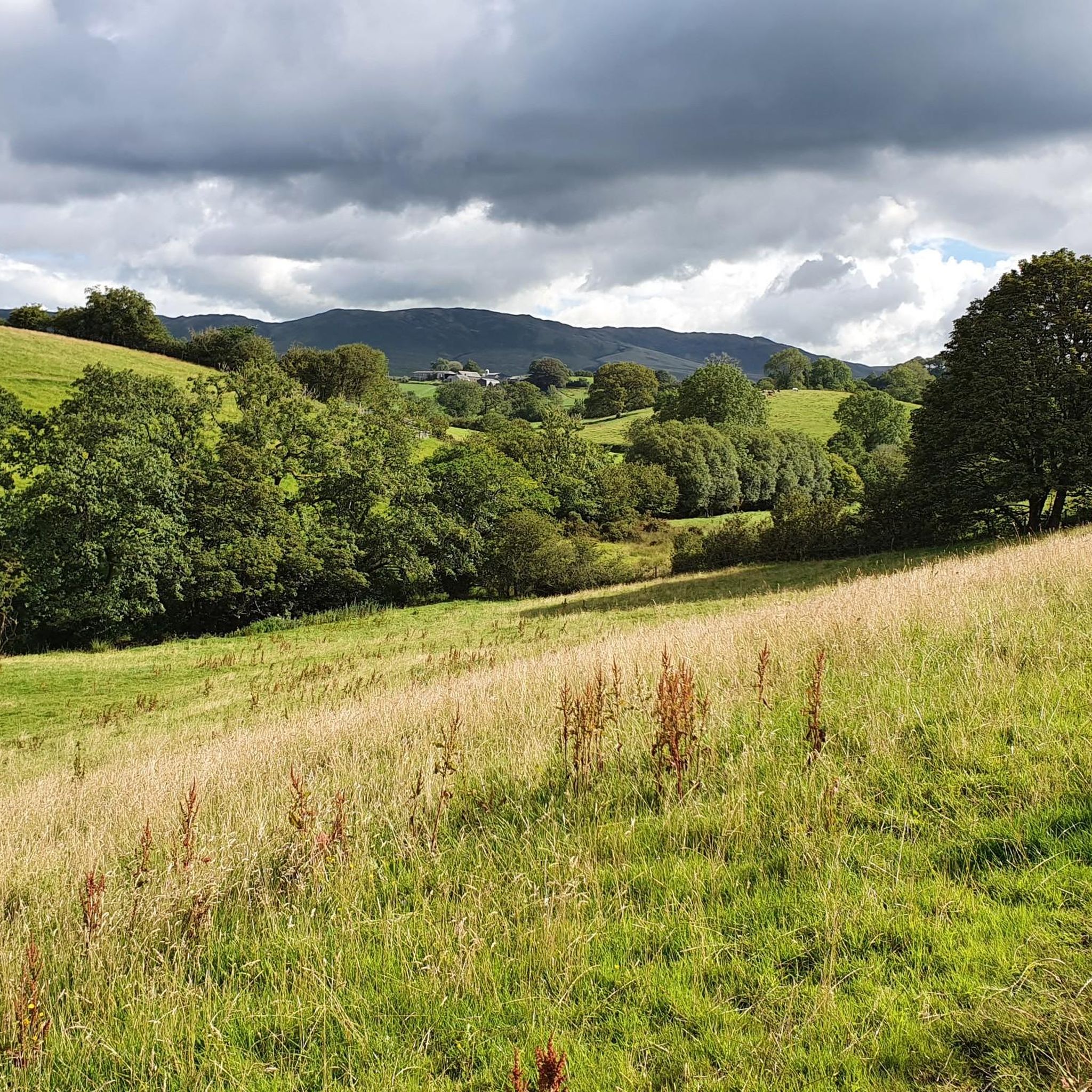
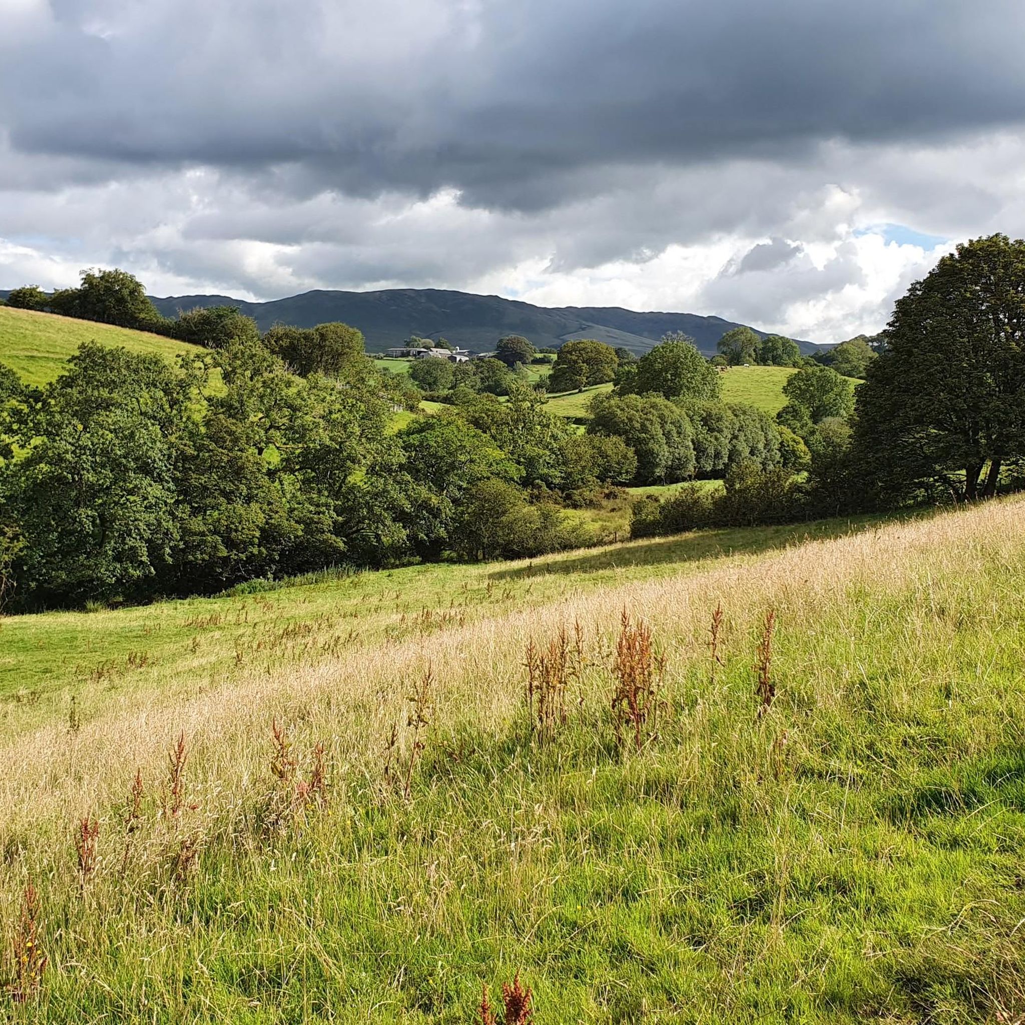
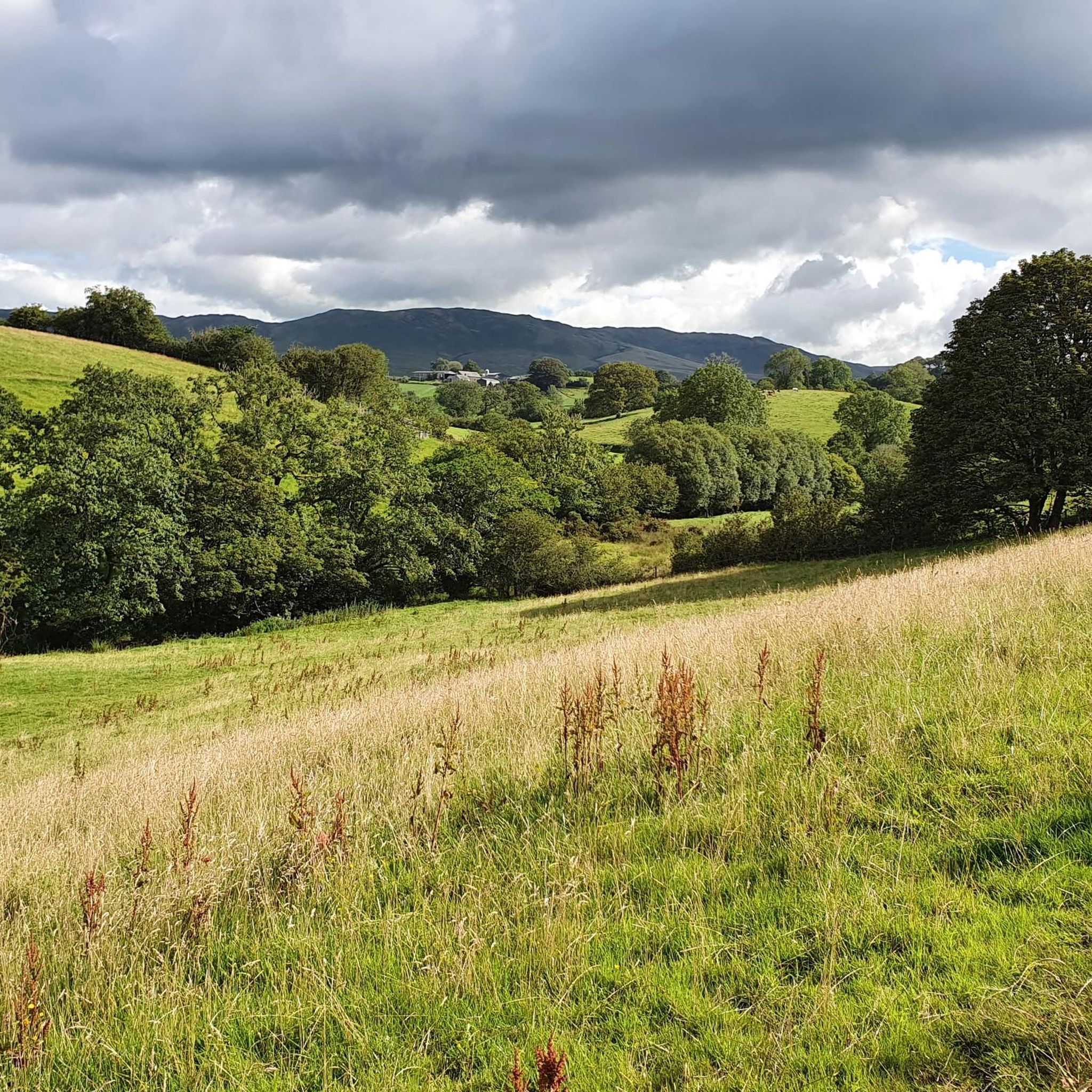
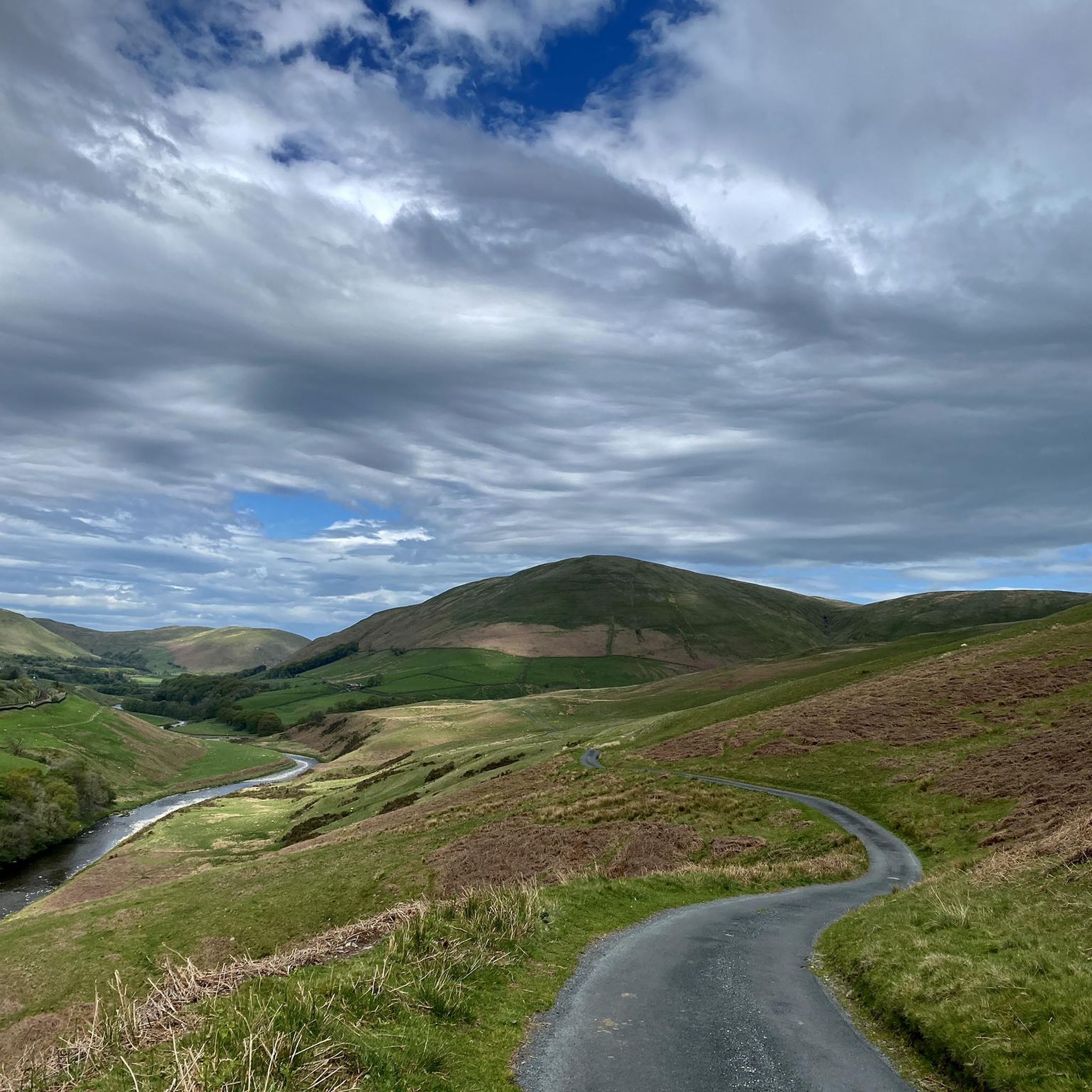
Gravel biking around Lambrigg offers routes through varied terrain, characterized by rolling hills, open fells, and sections within the Lake District National Park. The landscape includes a mix of agricultural land, woodlands, and elevated areas like Lambrigg Fell. Riders can expect routes that traverse valleys and ascend to viewpoints, providing a diverse gravel biking experience.
Best gravel bike trails around Lambrigg
- The most popular gravel bike trail is Sizergh Castle loop from Kendal — Lake District National Park, a…
Last updated: October 6, 2026
4.3
(12)
58
riders
27.0km
01:51
220m
220m
Moderate gravel ride. Good fitness required. Mostly paved surfaces. Suitable for all skill levels.
4.3
(12)
47
riders
23.3km
01:37
200m
200m
Moderate gravel ride. Good fitness required. Mostly paved surfaces. Suitable for all skill levels.

4
riders
Hard gravel ride. Very good fitness required. Mostly paved surfaces. Suitable for all skill levels.
3.5
(2)
12
riders
63.1km
04:20
730m
730m
Hard gravel ride. Very good fitness required. Mostly paved surfaces. Suitable for all skill levels.
2.0
(1)
4
riders
77.3km
05:37
1,030m
1,030m
Hard gravel ride. Very good fitness required. Mostly paved surfaces. Suitable for all skill levels.
Get access to more routes and recommendations from other explorers.
Already have an account?
Our route recommendations are based on thousands of hikes, rides, and runs completed by other people on komoot.
Start today with a free account
Your next adventure awaits.
Tips from the Community

One of the classic Lakeland climbs, well worth a visit. Easiest from Troutbeck, hardest from Ambleside up the struggle, the climb from the Ullswater side is tough as well
0
0


All I can say is, it's spectacular and challenging by car, bike, or motorcycle! Just be careful, the road is narrow, and unfortunately, there are always some crazy people who think they're the only ones on the road! Don't stress, bring plenty of water, and enjoy the outdoors! But it's not called "STRUGGLE" for nothing!
0
0

This is a beautiful viaduct, I wish I had seen it on a better blue sky day, it would make a great photo stop. Very impressive.
0
0

A visit to the reserve is highly recommended. However, there is now an entry fee: £5 for cyclists.
1
0

As
0
0
Frequently Asked Questions
How many gravel bike trails are available around Lambrigg?
There are over 20 gravel bike routes available around Lambrigg, offering a diverse range of experiences. These include 1 easy route, 7 moderate routes, and 15 difficult routes, catering to various skill levels.
Are there easy gravel bike trails suitable for beginners or families in Lambrigg?
Yes, there is at least one easy gravel bike trail around Lambrigg. For a moderate option that is still accessible, consider the Sizergh Castle loop from Kendal, which is 16.7 miles long and explores the area around Sizergh Castle within the Lake District National Park.
What are some challenging long-distance gravel bike routes near Lambrigg?
For a challenging long-distance ride, the Howgill Fells via Lambrigg Fell is a popular choice. This route is 48.0 miles long and takes you through the scenic Howgill Fells and over Lambrigg Fell. Another demanding option is Old Coach Road via Glenridding and Grasmere from Kendal, a 74.2-mile loop in the Lake District National Park.
Can I find circular gravel bike routes in the Lambrigg area?
Yes, many of the gravel bike routes around Lambrigg are circular. For example, the Heversham Head loop from Kendal offers a moderate 14.5-mile ride with panoramic views from Heversham Head.
Are there any notable viewpoints or natural attractions along the gravel bike trails?
Absolutely. The region around Lambrigg is rich in natural beauty. You can find stunning viewpoints like The Mushroom on Scout Scar and Calders Summit. For a dramatic natural feature, consider visiting Cautley Spout Waterfall, which is also nearby.
What do other gravel bikers say about the trails in Lambrigg?
The gravel biking routes in Lambrigg are highly rated by the komoot community, with an average score of 4.2 stars from over 30 reviews. Riders often praise the varied terrain, which includes rolling hills, open fells, and sections within the Lake District National Park, providing a diverse and engaging experience.
When is the best time of year to go gravel biking in Lambrigg?
While gravel biking in Lambrigg can be enjoyed year-round, spring and autumn often offer the most pleasant conditions with milder temperatures and beautiful scenery. Summer can be great, but trails might be busier. Winter rides are possible for experienced riders, but require appropriate gear and awareness of weather conditions.
Are there any cafes or places to stop for refreshments along the routes?
Many routes around Lambrigg start or pass through towns like Kendal, which offer various cafes and pubs for refreshments. While specific cafes directly on every trail might be limited, planning your route to include stops in local villages or towns is recommended for breaks and supplies.
Is public transport available to access gravel biking trails in Lambrigg?
Access to trails around Lambrigg often involves starting points in larger towns like Kendal, which are well-served by public transport, including train and bus services. From these hubs, you can often connect to the trailheads. It's advisable to check local transport schedules and bike carriage policies before planning your trip.
Where can I find parking for gravel bike trails around Lambrigg?
Parking is generally available in the larger towns and villages that serve as common starting points for these routes, such as Kendal. Many trailheads may also have small car parks, but it's always best to research specific parking options for your chosen route in advance, especially during peak seasons.
Are the gravel bike trails in Lambrigg dog-friendly?
Many trails in the Lambrigg area, particularly those on public bridleways and rights of way, are dog-friendly. However, it's crucial to keep dogs under close control, especially when passing through livestock areas or nature reserves. Always check local signage and be mindful of other trail users and wildlife.
Are there less crowded gravel bike trails in Lambrigg?
To find less crowded trails, consider exploring routes that venture deeper into the Howgill Fells or away from the immediate vicinity of popular tourist spots within the Lake District National Park. The Lyth Valley via Arnside and Silverdale National Landscape from Kendal, a 39.2-mile difficult route, might offer a more secluded experience.
Most popular attractions around Lambrigg

Get inspired with the komoot mobile app


Explore more
Browse the best Gravel rides in other regions.
