The best gravel rides in Garnilawald
4.6
(33)
273
riders
20
rides
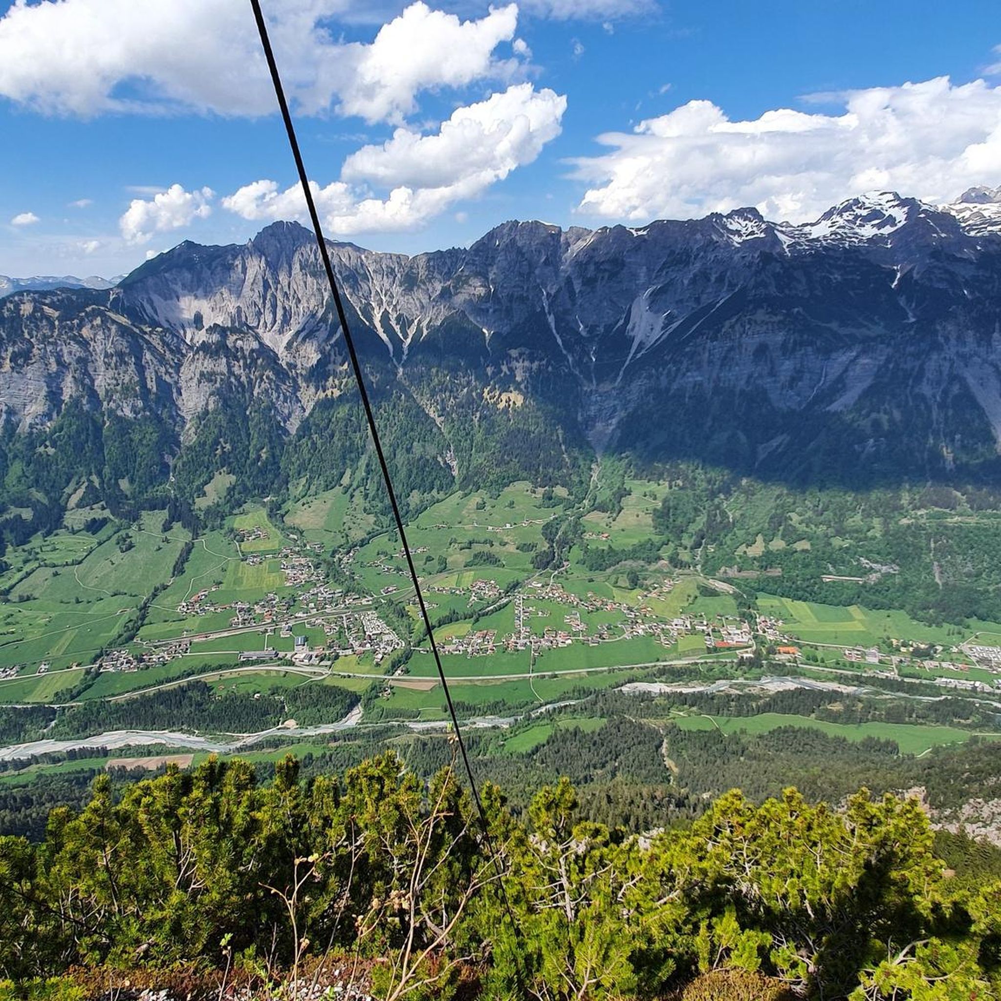
Gravel biking in Garnilawald offers routes through varied terrain, characterized by mountain valleys, reservoirs, and riverside paths. The region features significant elevation changes, with routes often traversing both open landscapes and forested sections. Gravel bike trails in Garnilawald provide opportunities to explore natural features such as the Brandnertal Valley and the Alfenz River. The area's topography supports a range of gravel biking experiences, from moderate riverside loops to more challenging mountain ascents.
Best gravel bike trails in Garnilawald
- The most…
Last updated: May 22, 2026
4.5
(2)
10
riders
18.4km
00:59
180m
180m
Moderate gravel ride. Good fitness required. Mostly paved surfaces. Suitable for all skill levels.
5.0
(2)
10
riders
Hard gravel ride. Very good fitness required. Mostly paved surfaces. Suitable for all skill levels.

Sign up for free
2.0
(1)
7
riders
57.3km
05:35
1,590m
1,590m
Hard gravel ride. Very good fitness required. Mostly paved surfaces. Suitable for all skill levels.
5.0
(2)
19
riders
40.9km
02:56
380m
380m
Moderate gravel ride. Good fitness required. Mostly paved surfaces. Suitable for all skill levels.
5.0
(3)
23
riders
34.2km
03:11
1,300m
1,300m
Hard gravel ride. Very good fitness required. Mostly paved surfaces. Suitable for all skill levels.
Get access to more routes and recommendations from other explorers.
Sign up for free
Already have an account?
Our route recommendations are based on thousands of hikes, rides, and runs completed by other people on komoot.
Start today with a free account
Your next adventure awaits.
Login or Signup
Tips from the Community

A completely normal forest highway
0
0

At this location, there is an old railway bridge over the Ill River, which now serves as a pedestrian and cyclist bridge. It originally connected the Bürs substation on the other side of the Ill River to the main line running via Bludenz. The tracks of this connection are still there today, but are no longer in use.
1
0
The parish church of St. John has stood in its present form since 1777. Before that, a chapel built in 1479 stood on this site, which was later expanded into its current form. In 1651, the church was elevated to an independent parish church. After the construction of the new parish church at the opposite end of the cemetery, this parish church was closed in 1960. After extensive structural restoration, the church was reopened and is now used as a burial church. Overall, it is a building that is a defining feature of the Vandanz townscape, exuding a special atmosphere against the backdrop of the mountains.
1
0

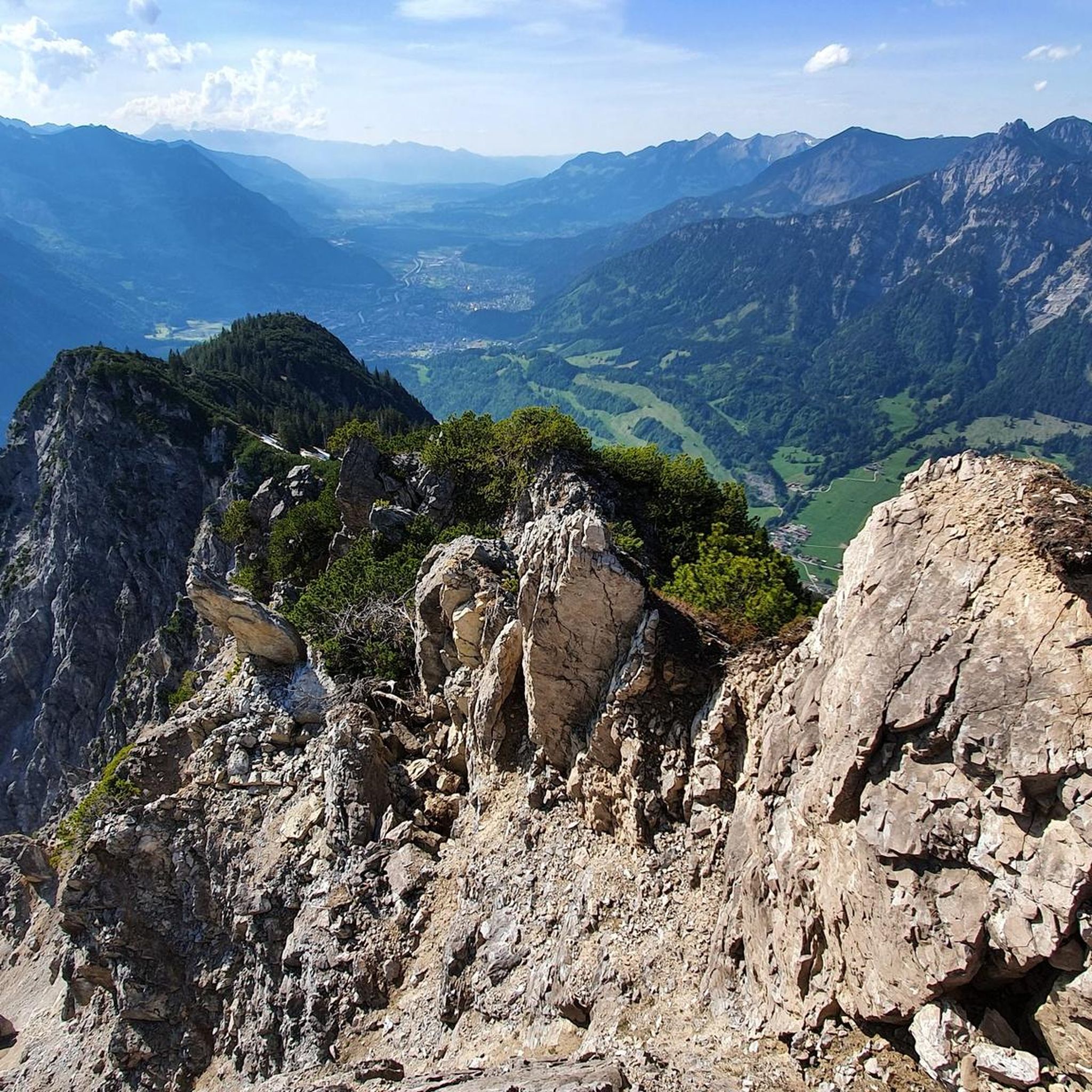
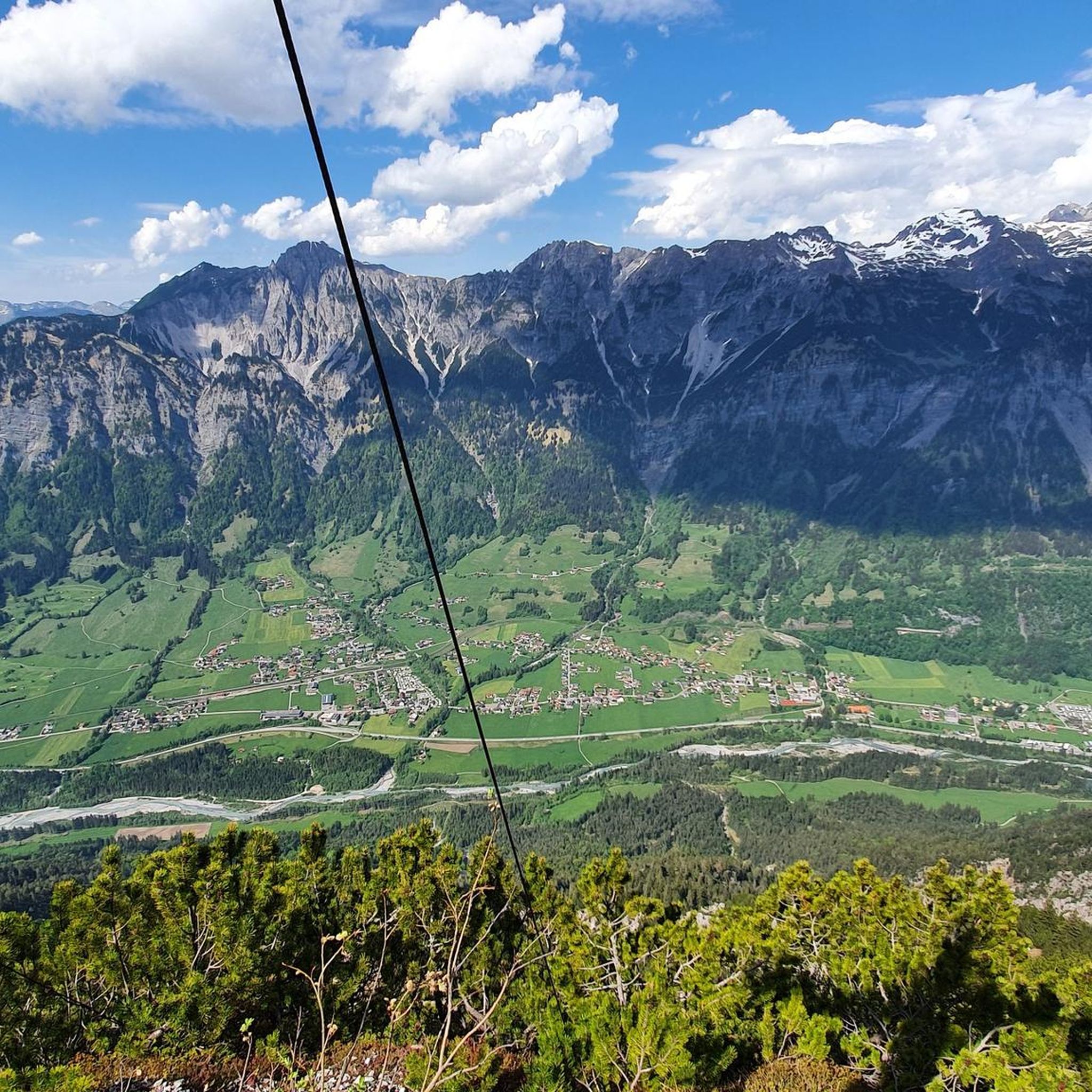
In good weather, a fantastic view of the Rätikon and the rear Montafon
1
0

An easy after-work hike through beautiful nature, perfect for unwinding. 🚵♀️🚵♂️
0
0


Beautiful paths through the forest towards Dalaas
0
0

The Neolithic stone circles on the Tschengla plateau are considered part of a huge calendar complex dating from 5000 to 1900 BC. The orientation of the stone circles shows parallels to other prehistoric structures in Europe.
9
0
Frequently Asked Questions
How many gravel bike trails are available in Garnilawald?
Garnilawald offers a diverse network of over 30 gravel bike trails. These routes cater to various skill levels, ranging from easy riverside paths to more challenging mountain ascents.
Are there gravel bike trails suitable for beginners in Garnilawald?
Yes, Garnilawald has options for beginners. While many routes feature significant elevation, there is at least one easy trail available. For a more relaxed experience, consider routes like the Alfenz Cycle Bridge – Alfenz Riverside Trail loop from Innerbraz, which is moderate in difficulty and follows riverside landscapes.
What about more challenging gravel bike routes in Garnilawald?
Garnilawald is well-suited for experienced gravel bikers, with 22 out of 31 routes classified as difficult. These trails often involve substantial elevation gain and cover longer distances. An example is the Kops Reservoir – View to Partenen loop from Innerbraz, a demanding 54-mile route with significant climbing.
Are there family-friendly gravel bike trails in Garnilawald?
For families, routes with less elevation and shorter distances are ideal. While specific 'family-friendly' designations aren't available, easier or moderate trails like the Alfenz Cycle Bridge – Alfenz Riverside Trail loop from Innerbraz could be suitable, offering a pleasant ride along the river.
Are there circular gravel bike routes in Garnilawald?
Many of the gravel bike trails in Garnilawald are designed as loops, allowing you to start and end at the same point. Examples include the View of the Brandnertal Valley – View of Bürs and Bludenz loop from Bludenz Brunnenfeld and the View of Kops Reservoir – Kops Reservoir loop from St. Anton im Montafon.
What can I see along the gravel bike trails in Garnilawald?
Garnilawald's gravel routes offer opportunities to explore natural features and scenic points. You might encounter highlights such as the Klostertal Valley, the Innerbraz Reservoir, and various summits like Davenna Summit and Zwölferkopf Summit, providing panoramic views.
What do other gravel bikers enjoy most about Garnilawald?
The komoot community highly rates gravel biking in Garnilawald, with an average score of 4.5 stars from over 50 reviews. Riders often praise the varied terrain, which includes mountain valleys, reservoirs, and riverside paths, as well as the challenging ascents and rewarding views.
How long are gravel bike trails in Garnilawald?
Trail lengths in Garnilawald vary significantly. You can find shorter loops, such as the Alfenz Cycle Bridge – Alfenz Riverside Trail loop from Innerbraz at 11.5 miles (18.4 km) taking about 1 hour 15 minutes, to much longer, more demanding routes like the Kops Reservoir – View to Partenen loop from Innerbraz, which is 54 miles (87 km) and can take nearly 7 hours.
Are there gravel trails in Garnilawald with pub stops or places to refuel?
While specific pub stops aren't detailed for every route, many trails start or pass through villages like Innerbraz or Bludenz Brunnenfeld, where you can typically find amenities. It's always a good idea to check the individual tour details on komoot for points of interest or facilities along your chosen route.
Where can I find parking for gravel bike trails in Garnilawald?
Many loop routes in Garnilawald start from specific locations such as Innerbraz, Bludenz Brunnenfeld, or St. Anton im Montafon. These starting points often have designated parking areas nearby. We recommend checking the tour details for your chosen route on komoot for specific parking information.
What is the best season for gravel biking in Garnilawald?
Given the region's characteristics of mountain valleys and significant elevation changes, late spring through early autumn generally offers the most favorable conditions for gravel biking in Garnilawald. During these months, trails are typically free of snow, and the weather is more stable for longer rides.
How can I find less crowded gravel biking routes in Garnilawald?
To find less crowded routes, consider exploring trails that are not explicitly highlighted as 'most popular' or 'top favorite' in the general overview. Garnilawald has over 30 routes, so delving into the full list on komoot and filtering by difficulty or length might reveal some hidden gems away from the main crowds.
Are there any interesting landmarks in Garnilawald?
Beyond the natural beauty, Garnilawald features a few notable landmarks. You might come across the Barbecue Area with Water Wheel, which can be a pleasant stop during a ride. The region's topography itself, with its prominent summits and valleys, serves as a significant landmark.
Most popular routes in Garnilawald
Most popular attractions in Garnilawald

Get inspired with the komoot mobile app


Explore more
Browse the best Gravel rides in other regions.
