The best road cycling routes in Garnilawald
4.5
(253)
5,364
riders
53
rides
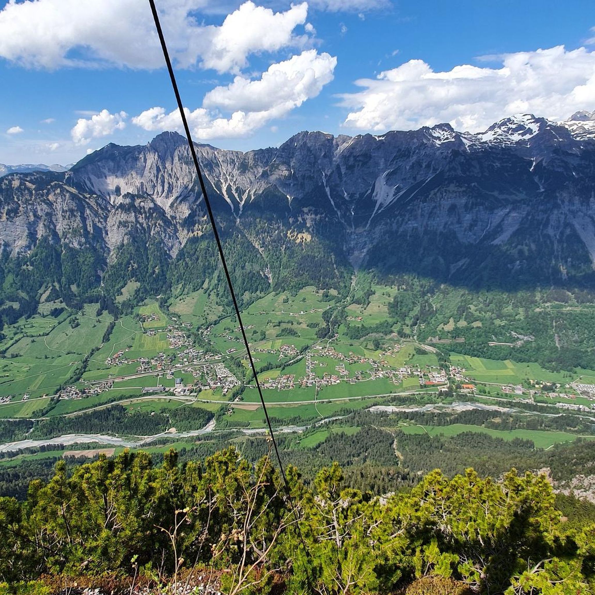
Road cycling routes in Garnilawald traverse a forested region within the Bezirk Bludenz, characterized by varied terrain suitable for road bikes. The area features a network of roads that wind through valleys, alongside rivers like the Ill, and past reservoirs and lakes. Elevation changes are present, offering both challenging climbs and more moderate sections. This landscape provides diverse road cycling experiences, from long-distance routes to shorter loops.
Best road cycling routes in Garnilawald
- The most popular road cycling route is…
Last updated: September 29, 2026
4.4
(7)
144
riders
130km
05:03
360m
360m
Hard road ride. Very good fitness required. Some segments of this route may be unpaved and difficult to ride.
4.0
(3)
129
riders
Moderate road ride. Good fitness required. Mostly well-paved surfaces and easy to ride.

3.0
(1)
54
riders
25.2km
01:27
560m
560m
Moderate road ride. Good fitness required. Mostly well-paved surfaces and easy to ride.
5.0
(1)
47
riders
33.3km
01:41
470m
470m
Moderate road ride. Good fitness required. Some segments of this route may be unpaved and difficult to ride.
5.0
(2)
80
riders
113km
05:07
1,110m
1,110m
Hard road ride. Very good fitness required. Some segments of this route may be unpaved and difficult to ride.
Get access to more routes and recommendations from other explorers.
Already have an account?
Our route recommendations are based on thousands of hikes, rides, and runs completed by other people on komoot.
Start today with a free account
Your next adventure awaits.
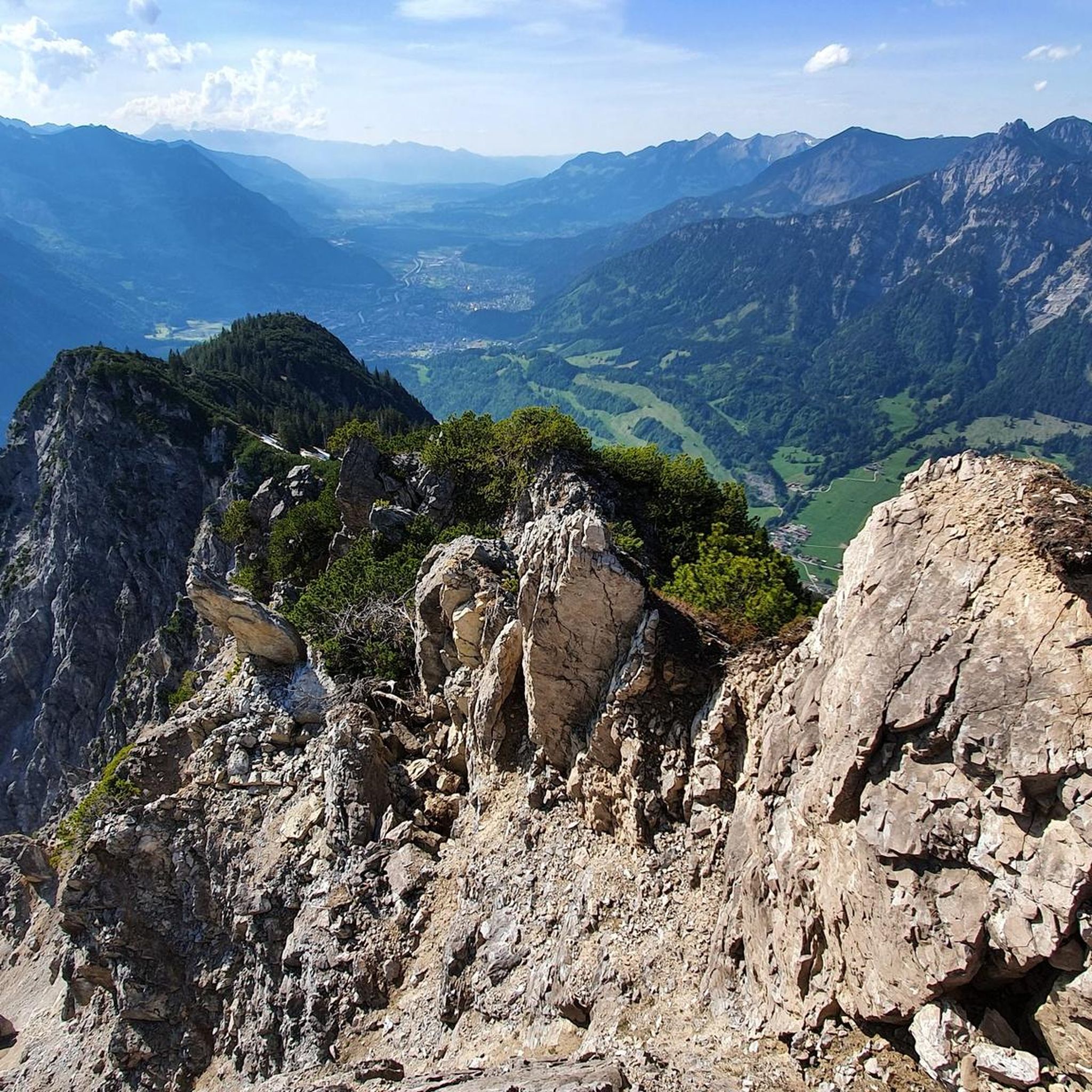
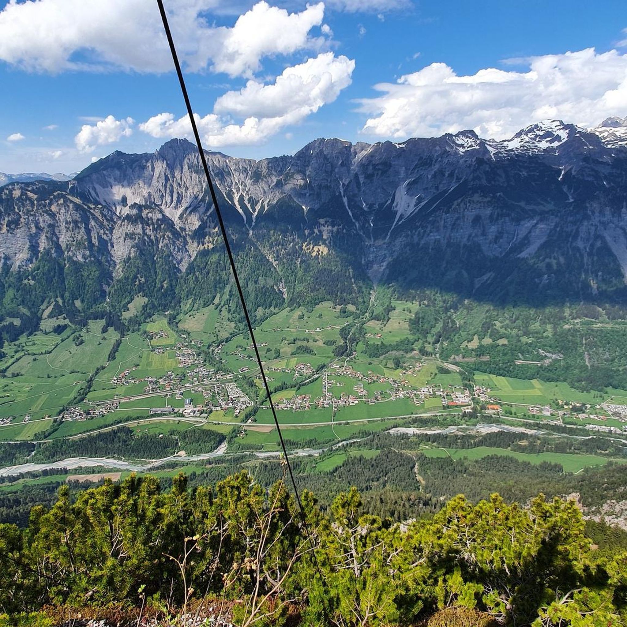
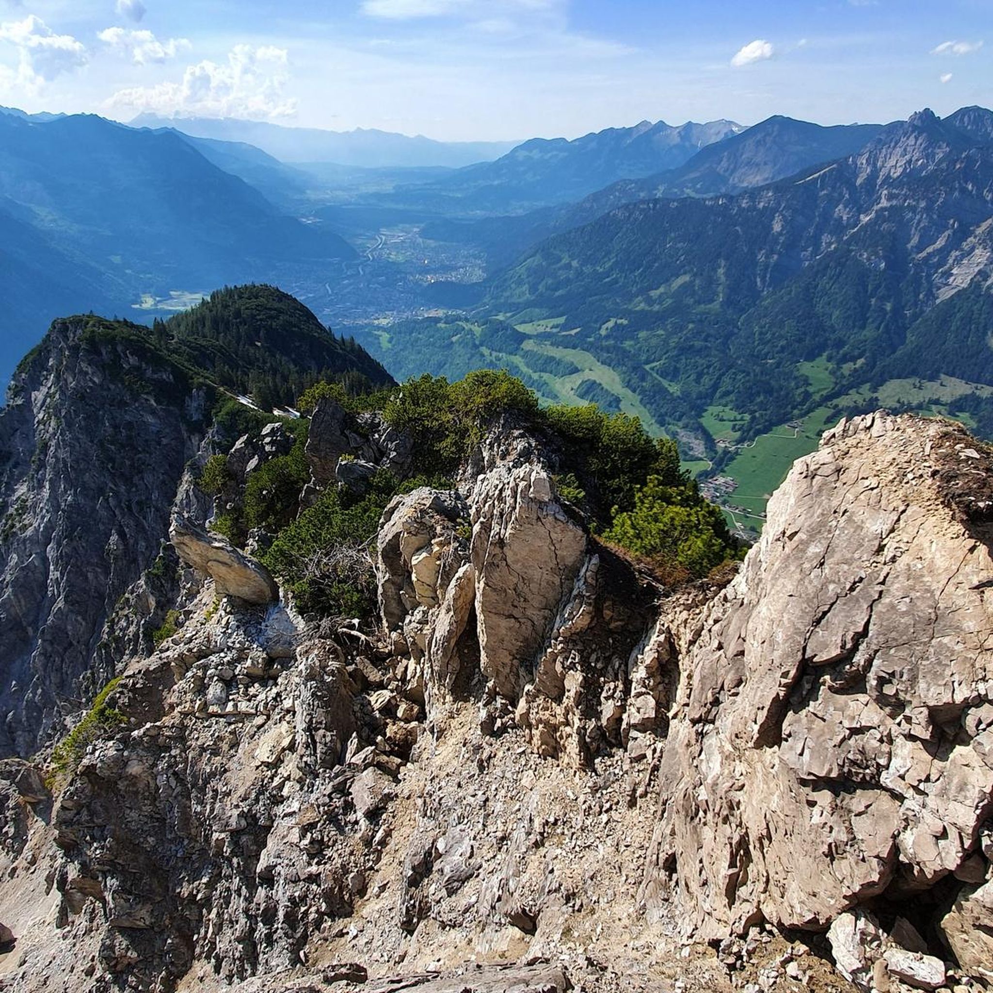
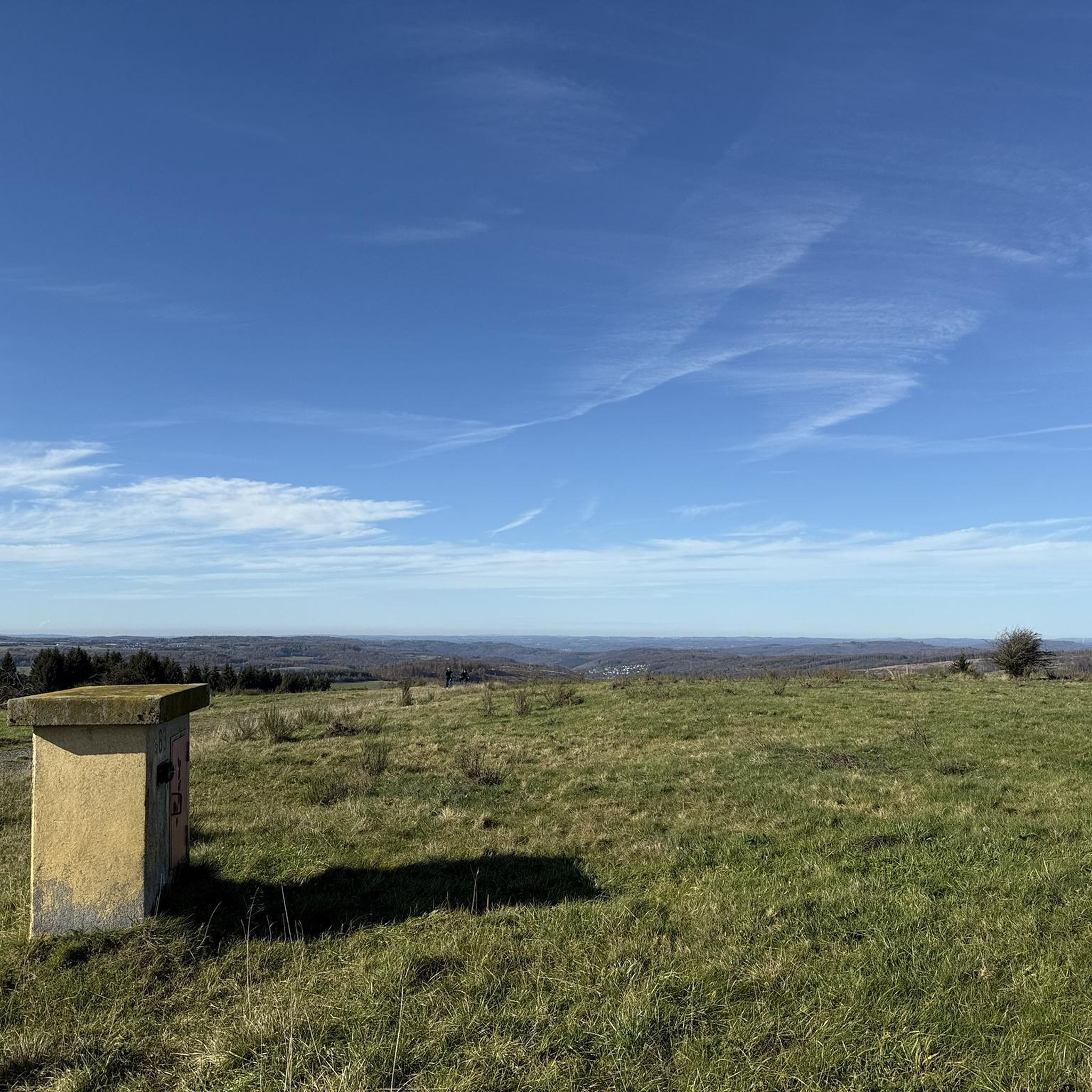
Tips from the Community

Not only for cyclists, but also for strollers/hikers a peaceful path. Both sides are good for walking.
0
0

Great bridge with plenty of space for cyclists!
1
0

Good place to take a break - careful, please don't disturb the anglers, to each their own hobby :-)
0
0

Church, St. Apostle Andrew, Thüringerberg The church was built in the years 1782 and 1783 due to lack of space, but the consecration did not take place until 1790. In 1786, Thüringerberg finally got its own pastor, and the curacy was elevated to an independent parish in 1835. In 1864, the church received three new altars, which were replaced by a people's altar in 1960. The current altar has been in the church since 1990. The first organ was in 1805, and a new one was bought in 1860. Since 1994, the parish church has had a new organ again, which was largely financed by six organ godmothers. Since the church was too small from the very beginning, it was enlarged in 1894. In 1959/60, the church was extended again and also modernized. The last renovation took place in 1989/90. Text / Source: Großes Walsertal Tourismus, Rathausgasse 5, Bludenz https://www.vorarlberg-alpenregion.at/walsertal/de/pfarrkirche-hl-apostel-andreas_vc3870
15
0

Perfect drinking water, fill up your water bottle and off we go
0
0

Very nice campsite/tent site, good meadow and sanitary facilities, but no shop and no restaurant.
0
0

Modern bridge over the new Rhine 😘
6
0

it's really beautiful here
0
0
Frequently Asked Questions
How many road cycling routes are available in Garnilawald?
Garnilawald offers a wide selection of road cycling routes, with over 60 tours available on komoot. These routes cater to various skill levels, from moderate loops to challenging long-distance rides.
What is the general difficulty level of road cycling in Garnilawald?
Garnilawald provides a diverse range of road cycling experiences. You'll find 15 easy routes, 32 moderate routes, and 20 difficult routes. The terrain includes varied elevation changes, offering both challenging climbs and more relaxed sections through valleys and alongside rivers.
Are there any beginner-friendly road cycling routes in Garnilawald?
Yes, Garnilawald has 15 easy road cycling routes perfect for beginners or those looking for a more relaxed ride. These routes typically feature less elevation gain and shorter distances, allowing for an enjoyable introduction to the region's scenery.
What kind of long-distance road cycling routes can I find in Garnilawald?
For experienced road cyclists seeking a challenge, Garnilawald offers several long-distance routes. A notable difficult option is the Covered Bridge Over the Ill – Rifasperre Reservoir loop from Lorüns, which spans nearly 150 km with significant elevation gain. Another demanding ride is the Lake Galina – Lake Nachbauer loop from Lorüns, offering scenic views over 133 km.
Are there any circular road cycling routes in Garnilawald?
Many of Garnilawald's road cycling routes are designed as loops, allowing you to start and finish at the same point. Examples include the Faller Lake – Church of Thūringerberg loop from Bludenz Brunnenfeld, a moderate 42.8 km ride, and the Schruns Town Hall – Bartholomäberg loop from Bludenz Brunnenfeld.
What scenic attractions can I expect to see along the road cycling routes?
Road cycling routes in Garnilawald often pass through picturesque landscapes featuring forests, river valleys, and lakes. You might encounter highlights such as the Klostertal Valley, the Innerbraz Reservoir, and various summits like Davenna Summit and Zwölferkopf Summit, offering stunning viewpoints.
What do other road cyclists say about the routes in Garnilawald?
The road cycling routes in Garnilawald are highly regarded by the komoot community, holding an average rating of 4.5 stars from nearly 300 reviews. Over 8,400 road cyclists have explored the area using komoot, often praising the varied terrain and scenic beauty of the forests, river valleys, and lakes.
Are there any facilities like barbecue areas along the routes?
While specific facilities vary by route, you can find points of interest such as a Barbecue Area with Water Wheel, which could be a pleasant stop during your ride. It's always a good idea to check the route details for specific amenities.
What is the best time of year for road cycling in Garnilawald?
Given Garnilawald's forested and river valley characteristics, spring through autumn generally offers the most favorable conditions for road cycling. During these seasons, temperatures are milder, and the natural scenery is at its peak. Always check local weather forecasts before heading out.
Are there any routes that pass by specific landmarks or points of interest?
Yes, several routes incorporate local landmarks. For instance, the Faller Lake – Church of Thūringerberg loop from Bludenz Brunnenfeld takes you past Faller Lake and the historic Church of Thūringerberg. Another route, Klösterle – Kneipp and Relaxation Garden Alfenz loop from Innerbraz, includes the Kneipp and Relaxation Garden Alfenz.
How can I find routes with parking or public transport access in Garnilawald?
While specific parking information isn't always detailed for every route, many tours, especially those starting from towns like Lorüns or Bludenz Brunnenfeld, are likely to have accessible parking options. For public transport, consider routes that begin or end near train stations or bus stops in these larger settlements. Always check local transport schedules and parking availability beforehand.
Most popular routes in Garnilawald
Most popular attractions in Garnilawald

Get inspired with the komoot mobile app


Explore more
Browse the best Road cycling routes in other regions.
