The best gravel rides in Bucher Forst
4.1
(17)
111
riders
64
rides
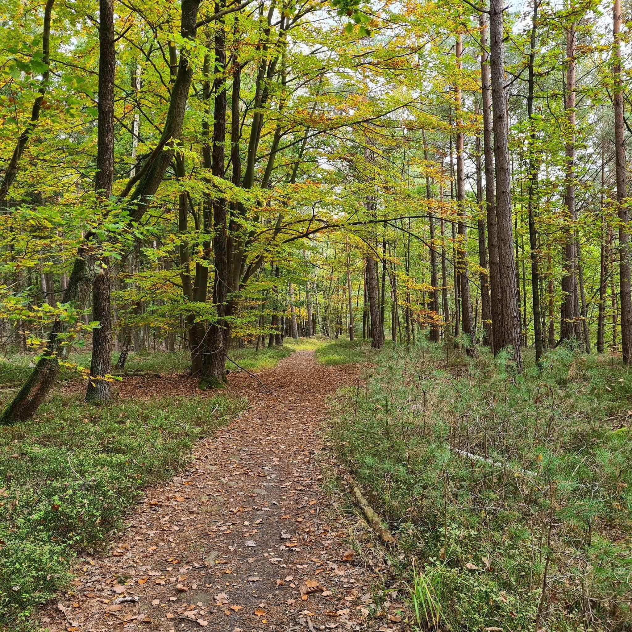
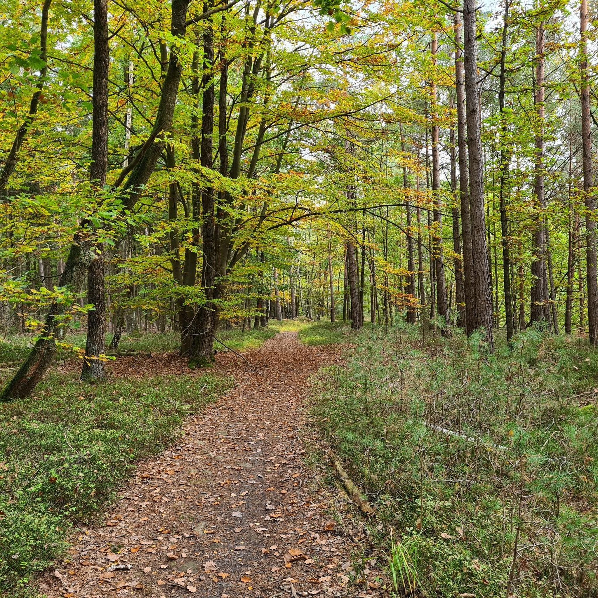
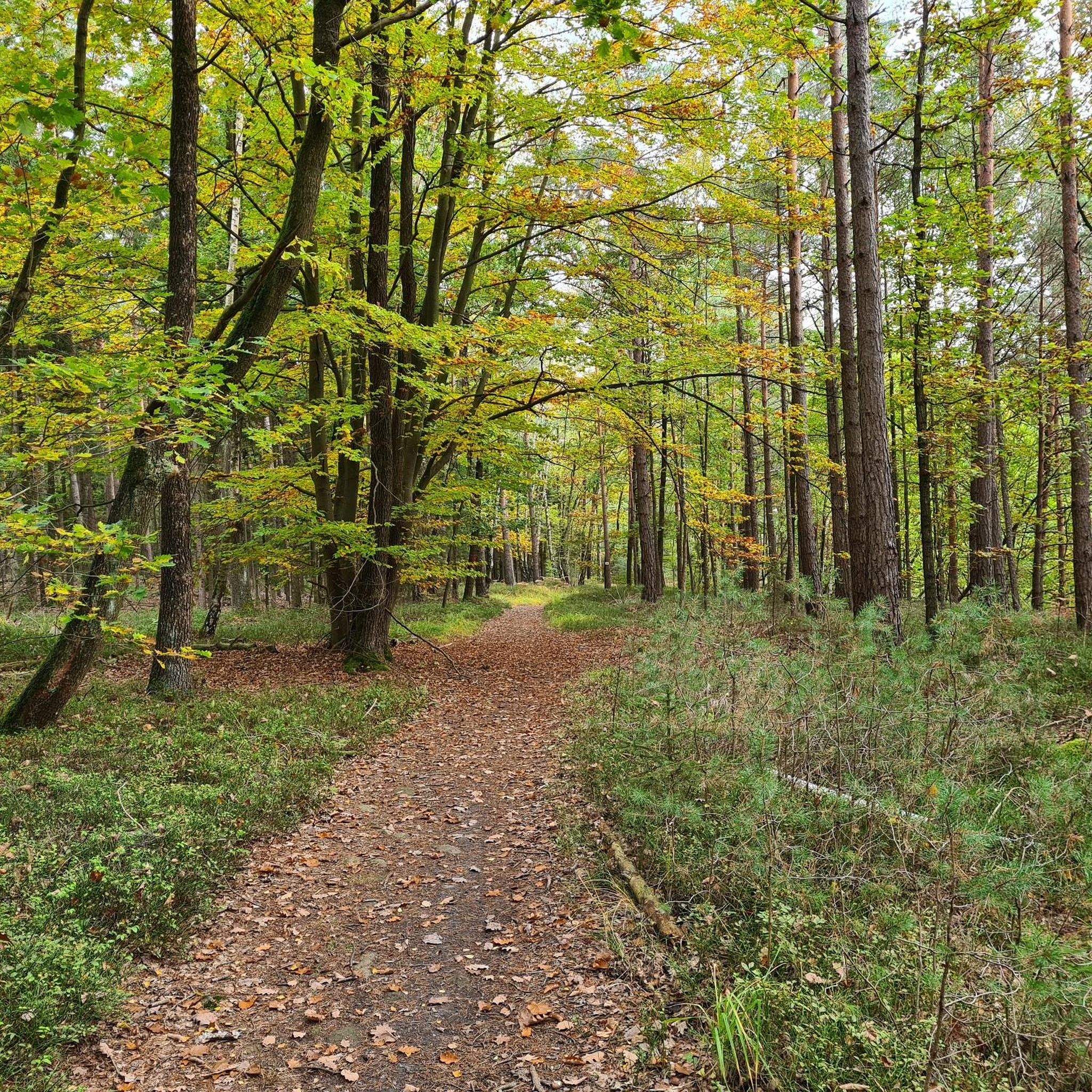
Gravel biking in Bucher Forst offers a network of trails primarily traversing forested landscapes on the northern edge of Berlin. The region is characterized by extensive woodlands, meadows, and renatured former sewage-irrigation fields, providing varied terrain suitable for gravel bikes. Routes often feature mixed surfaces, including gravel paths and forest roads, with moderate elevation changes and gentle rolling hills. This area provides opportunities for exploring diverse natural surroundings on two wheels.
Best gravel bike trails in Bucher Forst
- The most…
Last updated: October 6, 2026
3.0
(1)
4
riders
37.7km
02:16
360m
360m
Moderate gravel ride. Good fitness required. Mostly paved surfaces. Suitable for all skill levels.
4.3
(3)
16
riders
62.4km
03:39
600m
600m
Hard gravel ride. Very good fitness required. Mostly paved surfaces. Suitable for all skill levels.

4.0
(1)
4
riders
Easy gravel ride. Great for any fitness level. Mostly paved surfaces. Suitable for all skill levels.
3.7
(3)
17
riders
37.3km
02:26
440m
440m
Moderate gravel ride. Good fitness required. Mostly paved surfaces. Suitable for all skill levels.
5.0
(1)
12
riders
Moderate gravel ride. Good fitness required. Mostly paved surfaces. Suitable for all skill levels.
Get access to more routes and recommendations from other explorers.
Already have an account?
Our route recommendations are based on thousands of hikes, rides, and runs completed by other people on komoot.
Start today with a free account
Your next adventure awaits.
Tips from the Community

Pure nature and wonderful tranquility. There is even a nice bench there.
0
0

From the Staffelberg, you get one of the most beautiful views in the Gottesgarten am Obermain. From the high plateau, your gaze sweeps far over the Main valley and the varied landscape around Bad Staffelstein and Lichtenfels. With good visibility, numerous striking elevations and places in the region can be recognized. Particularly charming is the view over the rolling hills and forests of the Obermainland – a view that quickly makes you forget the climb. An ideal place for a break and to simply let the landscape sink in.
3
0


The width is still sufficient to ride to the other side;
0
0

The ensemble within the 14th and 15th century fortification ring developed from the earliest mention of the present settlement around 800. The town parish church of St. Kilian was founded centrally within it even before 1007. In 1130, the settlement received market rights, a good 250 years later full jurisdiction. From 1422, the town's fortifications were built. In 1473, the town burned down, including the parish church and the town hall. In the Thirty Years' War, in 1684, almost the entire place fell prey to the flames again. The symbol of the subsequent reconstruction is the town hall from 1686/87. Of particular importance is the cohesive appearance of the buildings, which is shaped by the reconstruction after the town fire of 1684. These typically include two-storey front houses, often with gables facing the street, featuring decorative half-timbering on the upper floor. In addition to wall remnants, the Bamberger Torturm gate tower, dating back to the 16th century in its core, has been preserved from the town's fortifications.
7
0

Magnificent viewpoint with an accurate panorama map. The view extends from the Kulch to the Ummersberg. Kloster Banz and the Staffelberg can be seen as the most famous points.
12
0


Now the path leads us directly along the pond. The last two information boards "fresh fish" 12 and Neuenseer Weiher" 13 point to the long-standing fish farming tradition. The coots and great crested grebes will announce you loudly. [ Source: from the flyer Nature Trail "Around the Neuenseer Weiher" ]
1
0
Frequently Asked Questions
How many gravel bike trails are available in Bucher Forst?
Bucher Forst offers a wide selection of gravel bike trails, with over 100 routes available. These range from easier paths to more challenging options, ensuring there's something for every skill level.
What is the typical difficulty level of gravel bike trails in Bucher Forst?
The trails in Bucher Forst cater to a range of abilities. While there are 7 easier routes perfect for beginners or a relaxed ride, the majority (65) are considered moderate. For experienced riders seeking a challenge, there are also 47 difficult routes.
Are there any family-friendly gravel bike routes in Bucher Forst?
Yes, Bucher Forst has several routes suitable for families or those looking for a less strenuous ride. These easier trails often feature gentler terrain and shorter distances. For example, the West Lake, Bad Staffelstein – Lakes near Bad Staffelstein loop from Lichtenfels is a moderate route that can be enjoyed by families with some biking experience, offering scenic views without extreme climbs.
Can I bring my dog on the gravel bike trails in Bucher Forst?
Generally, dogs are welcome on the trails in Bucher Forst. However, it's always recommended to keep your dog on a leash, especially in forested areas, to protect wildlife and ensure the safety of other trail users. Please also remember to clean up after your pet.
When is the best time of year to go gravel biking in Bucher Forst?
The best time for gravel biking in Bucher Forst is typically from spring to autumn (April to October). During these months, the weather is generally mild, and the forest paths are in good condition. Summer offers longer daylight hours, while spring and autumn provide beautiful foliage.
What kind of terrain can I expect on the gravel bike trails?
Bucher Forst is characterized by extensive woodlands, so you can expect varied forest paths and gravel roads. The terrain often includes gentle rolling hills and mixed surfaces, making it ideal for gravel bikes. You'll encounter a mix of compacted gravel, dirt paths, and some paved sections.
Are there any circular gravel bike routes in Bucher Forst?
Yes, many of the gravel bike routes in Bucher Forst are designed as loops, allowing you to start and end at the same point. An example is the Coburg Town Hall – Market Fountain, Bad Rodach loop from Grub am Forst, which takes you through rural landscapes and past historical town centers.
What attractions or points of interest can I see along the gravel bike routes?
Bucher Forst offers several natural and historical points of interest. You might encounter natural monuments like the Schifferbrunnen Spring or the Mönchsbrunnen. Some routes also pass by historical structures such as the Bismarck Tower Herberg or Untersiemau Castle.
Where can I find parking for gravel biking in Bucher Forst?
Parking is generally available at various entry points to Bucher Forst and in nearby towns. Look for designated parking areas near trailheads or forest entrances. Many routes, like the Untersiemau Castle – Forstmeisterteich loop from Untersiemau, often have convenient starting points with parking options.
How can I reach the Bucher Forst gravel trails by public transport?
Bucher Forst is accessible via public transport to surrounding towns. You can take a train to nearby larger towns like Lichtenfels or Coburg, and then cycle to the forest entrances. It's advisable to check local bus schedules for connections closer to specific trailheads.
Are there any cafes or places to refuel near the gravel bike trails?
While the trails themselves are primarily within the forest, the surrounding towns and villages offer various options for refreshments. You'll find cafes, bakeries, and restaurants in places like Lichtenfels, Coburg, and Bad Rodach, which are often starting or ending points for many routes.
What do other gravel bikers enjoy most about gravel biking in Bucher Forst?
The komoot community highly rates the gravel biking experience in Bucher Forst, with an average score of 4.7 stars from over 80 reviews. Riders often praise the extensive woodlands, the variety of forest paths, and the gentle rolling hills that make for an enjoyable and scenic ride.
Most popular routes in Bucher Forst
Most popular attractions in Bucher Forst

Get inspired with the komoot mobile app


Explore more
Browse the best Gravel rides in other regions.
