The best gravel rides in Donnersberg
4.7
(146)
826
riders
101
rides
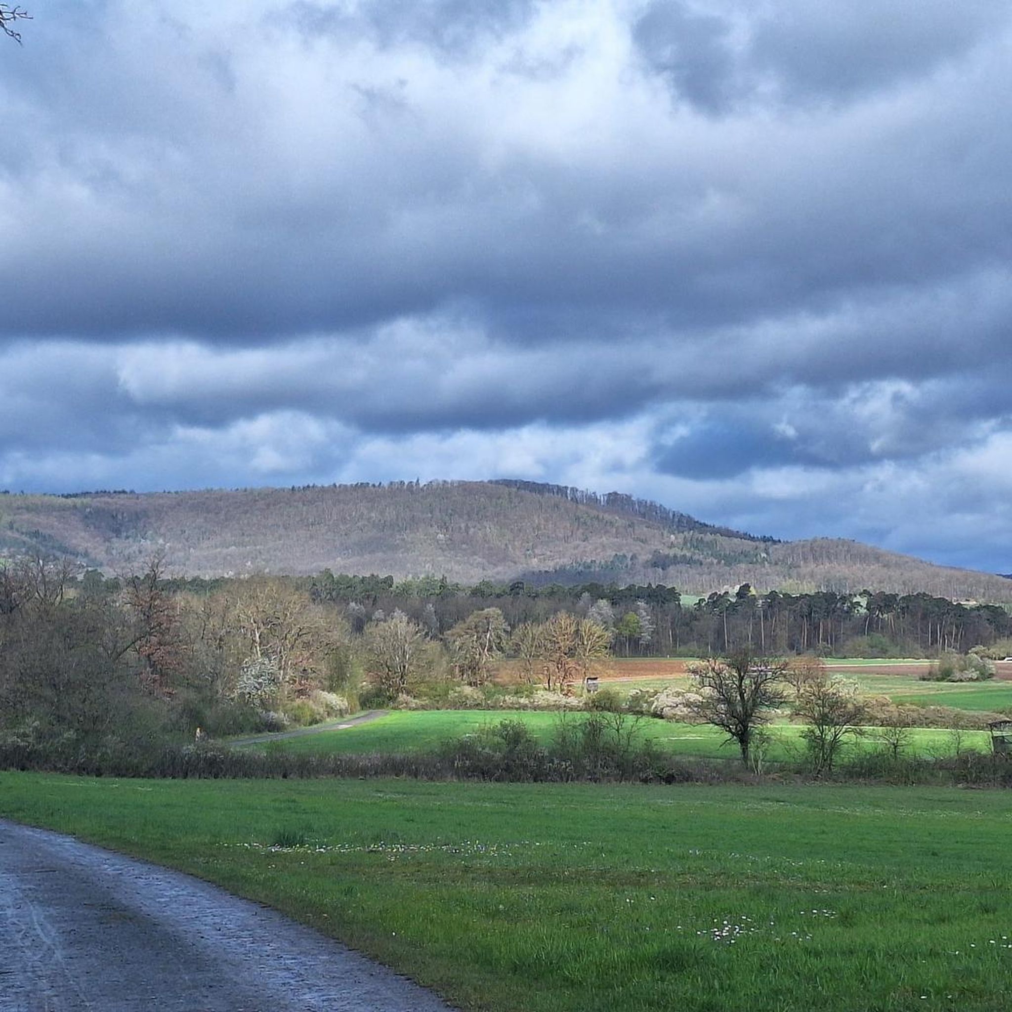
Gravel biking in Donnersberg offers diverse terrain shaped by its volcanic origins, featuring wooded slopes, green meadows, and a mix of ascents and descents. The region, part of the Naturpark Pfälzerwald, provides varied surfaces including dirt/gravel roads, asphalt, and forest paths. This landscape makes it suitable for gravel cyclists seeking both challenging climbs and scenic routes. Donnersberg's unique geology contributes to its dynamic environment for outdoor activities.
Best gravel bike trails in Donnersberg
- The most popular gravel bike trail is…
Last updated: September 29, 2026
4.0
(1)
11
riders
74.1km
06:10
1,170m
1,160m
Hard gravel ride. Very good fitness required. Mostly paved surfaces. Suitable for all skill levels.
4.7
(7)
37
riders
52.6km
03:27
740m
740m
Hard gravel ride. Very good fitness required. Mostly paved surfaces. Suitable for all skill levels.

13
riders
Moderate gravel ride. Good fitness required. Mostly paved surfaces. Suitable for all skill levels.
5.0
(4)
31
riders
49.7km
04:18
820m
820m
Hard gravel ride. Very good fitness required. Mostly paved surfaces. Suitable for all skill levels.
4.8
(12)
36
riders
32.0km
02:39
380m
380m
Moderate gravel ride. Good fitness required. Some segments of this route may be unpaved and difficult to ride.
Get access to more routes and recommendations from other explorers.
Already have an account?
Our route recommendations are based on thousands of hikes, rides, and runs completed by other people on komoot.
Start today with a free account
Your next adventure awaits.

Other adventures in Donnersberg

Tips from the Community

The Bannhalde is a 417 m high, wooded summit of the Stromberg, a ridge in the Stromberg-Heuchelberg Nature Park, which extends between Bretten in the west and the Neckar in the east. It rises above Sternenfels and houses the Stromberg operational site of the Lake Constance Water Supply Association and a mobile phone transmission mast. Only a few meters away, the K 4514 crosses its highest point. Quelle: https://www.quaeldich.de/paesse/bannhalde/
0
0

Sausteil, best ridden with an MTB
0
0

From the Schlossbergturm, you have a panoramic view over large parts of Northern Baden and Northern Wuerttemberg. Depending on the weather and visibility, you can recognize, among other things: To the west: the Rhine plain and, in very clear conditions, the Vosges mountains in France. To the southwest: the Northern Black Forest. To the south: the Stromberg, whose highest elevation is the Baiselsberg. To the east: the hilly landscape of the Kraichgau and towards the Heckengäu. To the north: the Odenwald forest, but only with exceptionally good long-distance visibility. On particularly clear days, the visibility extends up to 70–100 km. Therefore, the tower is a popular viewpoint for photographers and hikers. Tip: The best long-distance visibility is often in the morning after a cold front or on dry autumn and winter days when the air is particularly clear.
1
0

The hill break is the official rest stop for road and gravel cyclists. Birdy’s Wirtshaus offers a suitable bike rack that puts no strain on the spokes or wheels, as well as a free lock to borrow – arrive relaxed, take a short breather, and continue your ride.
0
0

From the "Panoramaweg" above the Leudelsbachtal valley, you will inevitably always have "views into the Leudelsbachtal"
0
0

Pedaling up 400m often also results in 1000m
0
0


From up here you have a great view of the wildlife park and the parking lot. There is a bench to rest on.
1
0
Frequently Asked Questions
How many gravel bike trails are available in Donnersberg?
Donnersberg offers a wide variety of gravel biking experiences, with over 230 routes available. These range from easy to difficult, ensuring there's something for every skill level.
What kind of terrain can I expect on Donnersberg's gravel trails?
The terrain in Donnersberg is quite diverse, shaped by its volcanic origins. You'll encounter a mix of wooded slopes, open meadows, and varied surfaces including dirt/gravel roads, asphalt, and forest paths. This provides a dynamic environment with both ascents and descents.
Are there challenging gravel routes for experienced riders in Donnersberg?
Yes, Donnersberg is well-suited for experienced gravel bikers looking for a challenge. There are 105 difficult routes available, featuring significant elevation changes and varied terrain. An example is the View of Schlossberg Tower – View of Sternenfels Castle loop from Sersheim, a demanding 59.4 km trail.
Are there any easier gravel routes suitable for beginners?
Absolutely. While Donnersberg offers many challenging routes, there are also 15 easy routes perfect for beginners or those looking for a more relaxed ride. These routes allow you to enjoy the scenic landscape without overly strenuous climbs.
What historical sites or viewpoints can I explore while gravel biking in Donnersberg?
Donnersberg is rich in history and offers several notable viewpoints. You can explore the remains of an ancient Celtic settlement, including a rampart and reconstructed city wall sections. The Königsstuhl, Donnersberg's summit, provides panoramic views, further enhanced by the Ludwigsturm. The Adlerbogen viewpoint offers beautiful eastward views. While not directly on a gravel route, the Bridge Over the Kirbach is a nearby point of interest.
Are there any natural features or reserves to see along the trails?
Yes, the region is part of the Naturpark Pfälzerwald and features diverse natural beauty. You can visit the tranquil Untere See Nature Reserve, which offers panoramic views of the Stromberg region. The landscape is characterized by extensive forests, volcanic mountain areas, and open meadows, providing a refreshing natural experience.
Where can I find parking for gravel biking in Donnersberg?
Parking is available at various points around the Donnersberg region. For example, the Sersheim Fitness Trail Parking Area is a convenient spot if you're starting a ride from that vicinity. Many trailheads and towns in the area offer public parking facilities.
Are there places to eat or drink near the gravel trails?
Yes, you'll find cafes, pubs, and restaurants in the towns and villages surrounding Donnersberg, such as Kirchheimbolanden and Dannenfels. These establishments offer opportunities to refuel and relax after your ride. It's always a good idea to check opening hours, especially in smaller villages.
Is public transport an option to reach the gravel trails in Donnersberg?
While Donnersberg is best explored by car for direct access to many trailheads, some regional bus services connect the surrounding towns. It's advisable to check local public transport schedules and regulations regarding bicycle transport if you plan to use this option.
What do other gravel bikers enjoy the most about gravel biking in Donnersberg?
The Donnersberg region is highly rated by the komoot community, with an average score of 4.7 stars from over 200 reviews. Reviewers often praise the diverse terrain, the challenging climbs, and the stunning panoramic views from points like the Königsstuhl. The mix of historical sites and natural beauty also contributes to a highly enjoyable experience.
Are there any family-friendly gravel routes in Donnersberg?
While many routes in Donnersberg can be challenging, there are easier sections and dedicated easy routes that can be suitable for families, especially those with some biking experience. Look for routes with less elevation gain and smoother surfaces. The region's varied terrain allows for selection of less demanding paths.
What is the best time of year for gravel biking in Donnersberg?
Spring and autumn are generally considered the best seasons for gravel biking in Donnersberg. The weather is typically mild, and the landscapes are particularly beautiful with blooming flowers or vibrant fall foliage. Summer can also be pleasant, but it's advisable to start early to avoid the midday heat. Winter riding is possible, but trails may be muddy or icy.
Most popular routes in Donnersberg
Most popular attractions in Donnersberg

Get inspired with the komoot mobile app


Explore more
Browse the best Gravel rides in other regions.
