The best cycling routes in Donnersberg
4.5
(8306)
40,449
riders
821
rides
Touring cycling in Donnersberg offers routes through a diverse landscape, characterized by the volcanic Donnersberg mountain, extensive forests, vineyards, and meadows. The region's highest point, the Königstuhl at 687 meters, provides panoramic views. Cycling routes traverse varied terrain, including river valleys and historical sites. This area features a network of signposted trails suitable for exploring its natural and historical features.
Best touring cycling routes in Donnersberg
- The most popular touring cycling route is Aischbach Path – Sersheimer See loop from…
Last updated: October 7, 2026
4.8
(140)
573
riders
80.4km
04:56
560m
560m
Hard bike ride. Very good fitness required. Mostly paved surfaces. Suitable for all skill levels.
4.8
(50)
190
riders
59.7km
03:51
490m
490m
Hard bike ride. Very good fitness required. Mostly paved surfaces. Suitable for all skill levels.

4.9
(7)
76
riders
43.4km
02:35
290m
290m
Moderate bike ride. Good fitness required. Mostly paved surfaces. Suitable for all skill levels.
4.6
(32)
153
riders
Moderate bike ride. Good fitness required. Mostly paved surfaces. Suitable for all skill levels.
4.6
(31)
93
riders
25.7km
01:36
170m
170m
Moderate bike ride. Good fitness required. Mostly paved surfaces. Suitable for all skill levels.
Get access to more routes and recommendations from other explorers.
Already have an account?
Our route recommendations are based on thousands of hikes, rides, and runs completed by other people on komoot.
Start today with a free account
Your next adventure awaits.

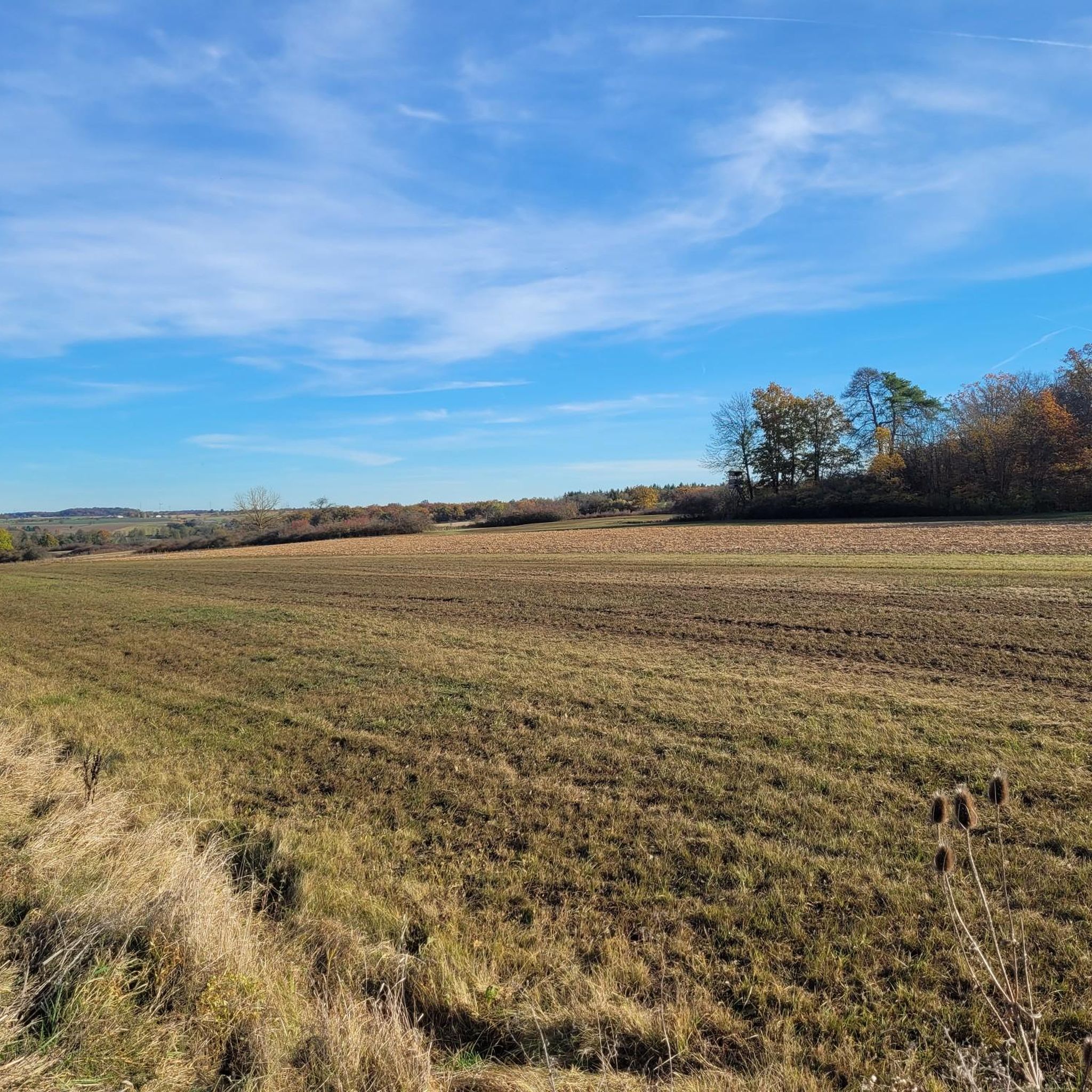
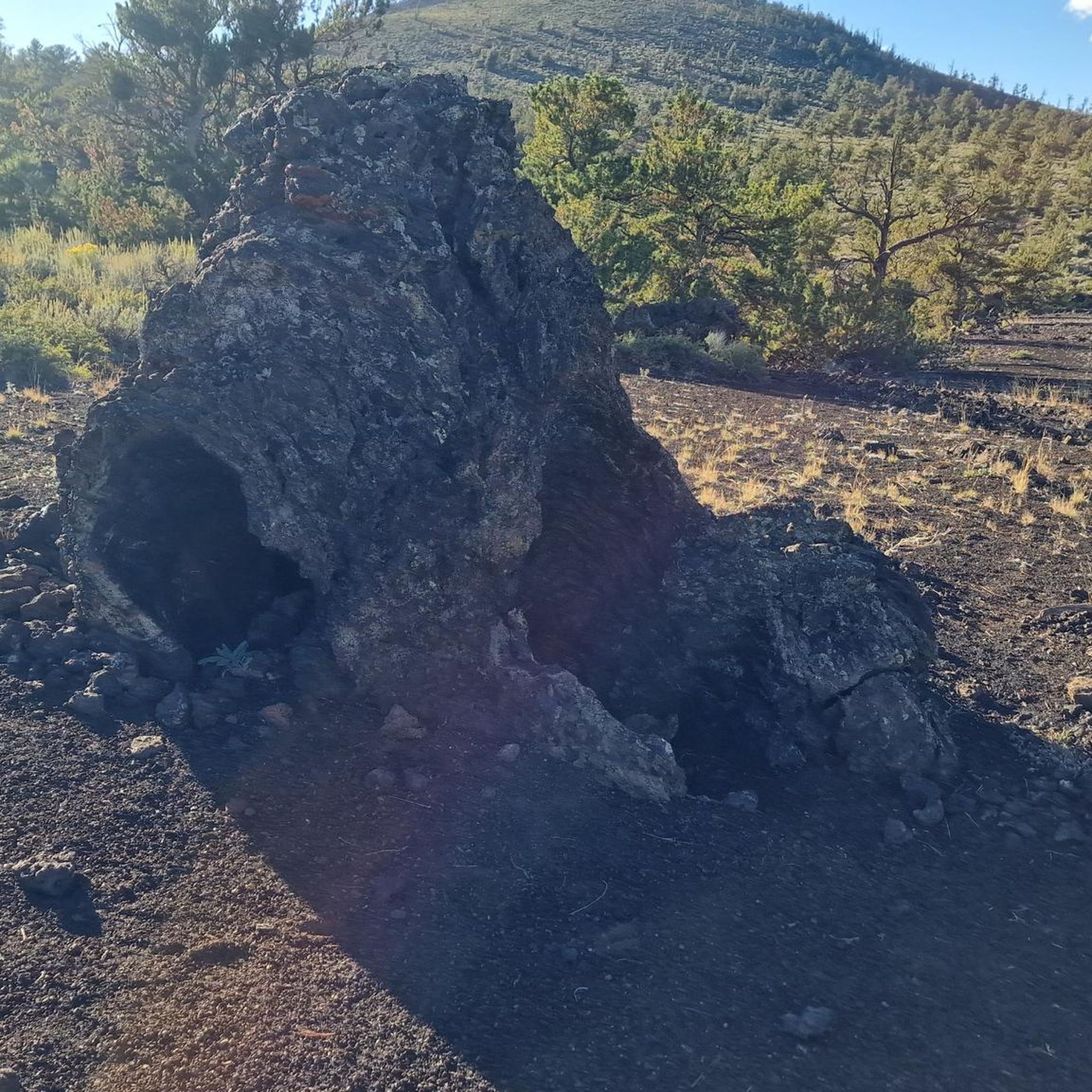
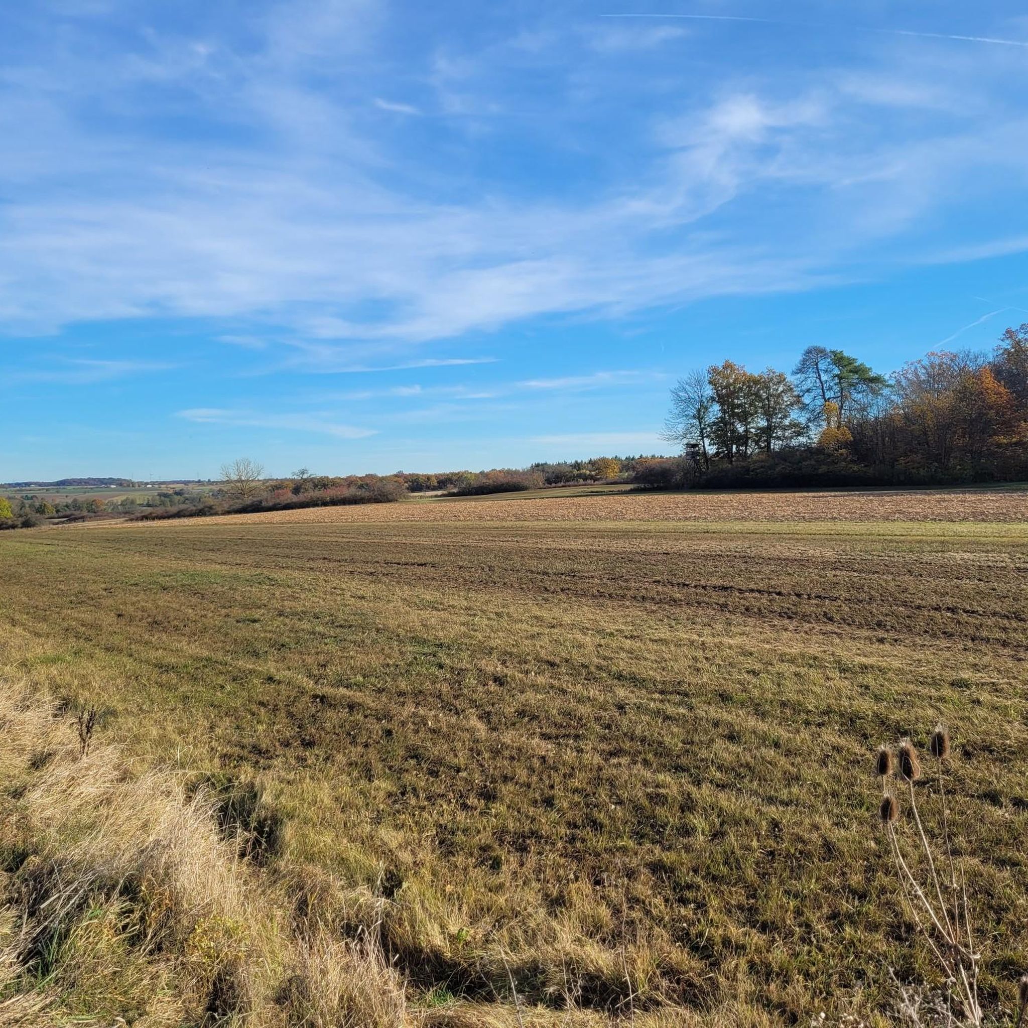
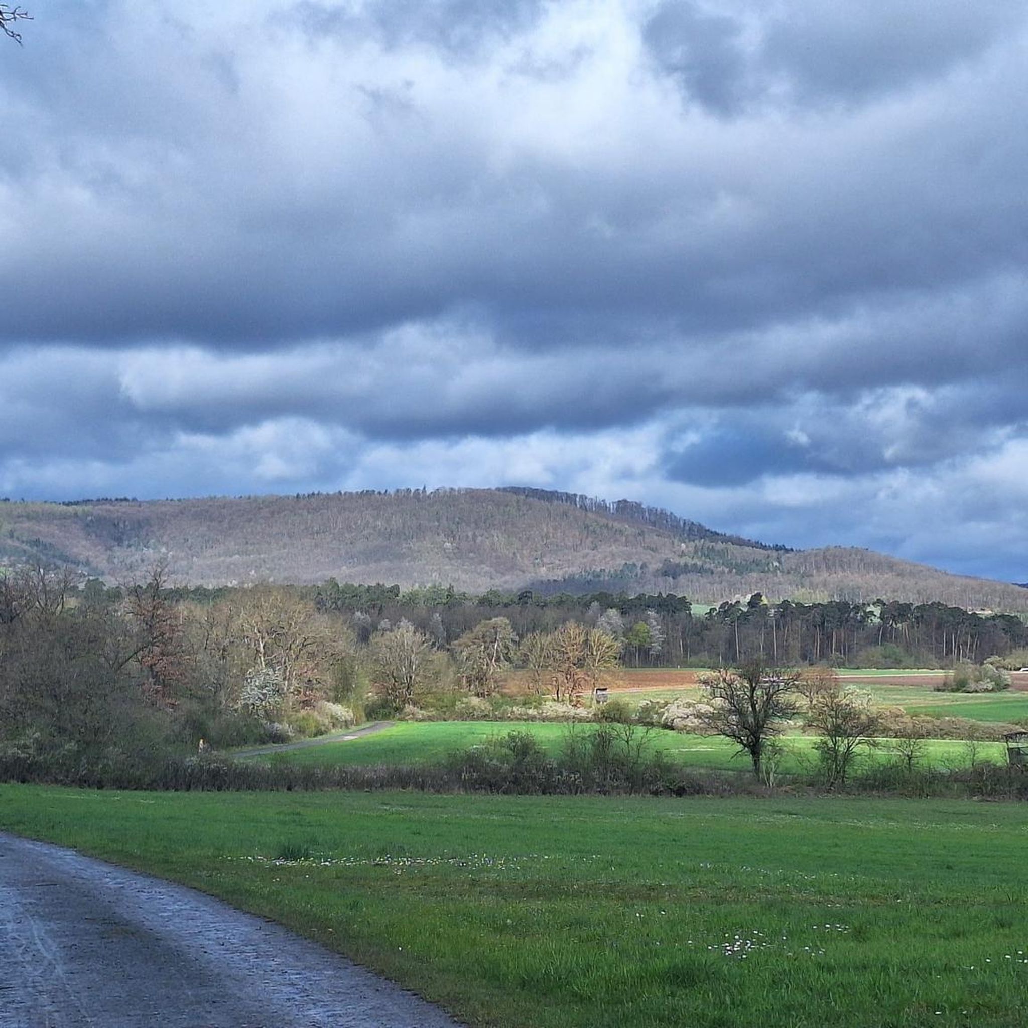
Other adventures in Donnersberg

Tips from the Community


Nicely tarred cycle path from Bietigheim to Besigheim, mostly below the vineyards. Always along the Enz. With refreshment stops along the way. However, due to illness, the popular beer garden "Zum Posten 35" is only open on Sundays from 11:00 AM to 6:00 PM.
6
0
A new cycle and pedestrian bridge now leads across the Enz with a view of the weir.
5
1


Above the rapids is a weir. The water diverted there flows into a power plant, built in 1901 and one of the oldest in the Ludwigsburg district. Depending on the water flow in the Enz, there is more or less water flowing over the rapids!
2
0

"Enz Valley Cycle Path along the Enz River"⁉️ Maybe it's the "Neckar" or something 🤔 "Commentary created with IA"!
2
0

Here you can relax and enjoy the views
0
0
Frequently Asked Questions
How many touring cycling routes are available in Donnersberg?
Donnersberg offers a wide selection of touring cycling routes, with over 770 routes available. These range from easy paths to more challenging ascents, catering to various skill levels.
What kind of terrain can I expect on touring cycling routes in Donnersberg?
The Donnersberg region features diverse terrain, including the volcanic Donnersberg mountain, extensive forests, vineyards, and meadows. Routes often traverse river valleys and offer a mix of flat sections and ascents, especially when heading towards the Königstuhl, the highest point at 687 meters.
Are there routes suitable for beginners or families in Donnersberg?
Yes, Donnersberg has many routes suitable for beginners and families. Out of over 770 touring cycling routes, 249 are classified as easy, providing gentle paths through meadows and along rivers. These routes are perfect for a relaxed cycling experience.
Are there any challenging routes for experienced touring cyclists?
Absolutely. For experienced touring cyclists seeking a challenge, Donnersberg offers 182 difficult routes. These often include more significant ascents, particularly around the Donnersberg mountain, and longer distances. An example of a difficult route is the Aischbach Path – Mühlhausen Castle loop from Sersheim, which covers nearly 30 km with notable elevation changes.
What natural features or landmarks can I see along the touring cycling routes?
While cycling in Donnersberg, you can encounter various natural features and landmarks. Highlights include the Untere See Nature Reserve, offering serene natural beauty. You might also cross the Bridge Over the Kirbach or the Metter Bridge Path Between Sersheim and Sachsenheim. The region is also known for its panoramic views from points like Moltkefels and Adlerbogen, overlooking the Zellertal and Worms.
Are there historical sites to explore while cycling in Donnersberg?
Yes, Donnersberg is rich in history. The region is home to the site of a large Celtic settlement, with reconstructed parts of the Celtic wall. You can also find ruins of medieval castles such as Tannenfels, Wildenstein, Hohenfels, Falkenstein, and Ruppertsecken, adding a historical dimension to your cycling tours. The Ludwigsturm, a 27-meter tower, also offers historical interest and views.
Are there circular touring cycling routes in Donnersberg?
Many touring cycling routes in Donnersberg are designed as loops, allowing you to start and end at the same point. Examples include the popular Aischbach Path – Sersheimer See loop from Sersheim, the Bietigheim Railway Viaduct – Scenic Forest Path loop from Sersheim, and the Bietigheim Citizens' Garden – Bietigheim Old Town loop from Sersheim.
What is the best time of year for touring cycling in Donnersberg?
The Donnersberg region is enjoyable for touring cycling throughout much of the year. Spring and autumn offer pleasant temperatures and beautiful scenery, with blooming wildflowers or vibrant fall foliage. Summer is also suitable, though it can be warmer, especially on exposed sections. Always check local weather conditions before heading out.
Where can I find parking near the touring cycling routes?
Many routes in Donnersberg offer convenient parking options. For example, the Sersheim Fitness Trail Parking Area is a designated spot that provides access to several routes. It's advisable to check the starting point of your chosen route for specific parking information.
What do other cyclists say about touring cycling in Donnersberg?
The touring cycling routes in Donnersberg are highly rated by the komoot community, with an average score of 4.5 stars from over 6,300 reviews. Cyclists often praise the diverse landscape, the well-maintained trails through forests and vineyards, and the combination of natural beauty with historical sites.
Are there any specific routes that offer panoramic views?
Yes, routes that ascend towards the Donnersberg summit, particularly around the Königstuhl, will offer breathtaking panoramic views of the surrounding Palatinate region. The Moltkefels and Adlerbogen viewpoint is also renowned for its easterly vistas over the Zellertal and Worms.
Can I find places to eat or rest along the routes?
The Donnersberg region has various villages and towns along its cycling routes where you can find cafes, restaurants, and places to rest. While specific establishments are not listed here, planning your route to pass through these settlements will provide opportunities for refreshments and breaks.
How can I access the touring cycling routes in Donnersberg by public transport?
While specific public transport connections vary, many towns and villages in the Donnersberg region are accessible by local bus or train services. It's recommended to check regional public transport schedules for connections to popular starting points of cycling routes, especially if you plan to combine cycling with public transport.
Most popular routes in Donnersberg
Most popular attractions in Donnersberg

Get inspired with the komoot mobile app


Explore more
Browse the best Cycling routes in other regions.
