The best gravel rides around Vila Real De Santo António
4.7
(3)
97
riders
18
rides
Gravel biking around Vila Real De Santo António explores a landscape shaped by the Guadiana River estuary and its surrounding marshes. The terrain is predominantly flat to gently undulating, featuring extensive wetlands rich in birdlife and coastal paths. Routes often follow riverbanks, traverse marshlands, and connect to nearby towns, offering a mix of natural and semi-urban environments. The region's low elevation profiles make many gravel bike trails near Vila Real De Santo António accessible for various skill levels.
Best gravel bike trails around Vila Real De Santo António
- The most popular gravel bike trail is Ayamonte Town Center – La Antilla Beach loop from Ayamonte, a 22.7 miles (36.5 km) trail that takes 2 hours 47 minutes to complete. This route offers a coastal experience connecting a town center with a beach.
- Another top favourite among local gravel bikers is The marshes are rich in birdlife. – Odiel Marshes loop from Vila Real de Santo António, a moderate 21.9 miles (35.2 km) path. This trail leads through the Odiel Marshes, known for their abundant birdlife.
- Local gravel bikers also love the Odiel Marshes – Stone Bridge loop from Isla Cristina, a 23.9 miles (38.5 km) trail leading through marshlands and past a stone bridge, often completed in about 3 hours 10 minutes.
- Gravel biking around Vila Real De Santo António is defined by riverine paths, coastal sections, and extensive marshlands. The network offers options for different ability levels, from easy flat routes to more challenging gravel bike routes with longer distances.
- The routes in Vila Real De Santo António are highly rated by the komoot community with an average score of 5.0 stars from over 6 reviews. More than 90 gravel bikers have used komoot to explore Vila Real De Santo António's varied terrain.
Last updated: October 6, 2026
4.0
(1)
9
riders
Moderate gravel ride. Good fitness required. Mostly paved surfaces. Suitable for all skill levels.
5.0
(1)
10
riders
Moderate gravel ride. Good fitness required. Mostly paved surfaces. Suitable for all skill levels.

6
riders
62.3km
04:18
470m
470m
Hard gravel ride. Very good fitness required. Mostly paved surfaces. Suitable for all skill levels.
5.0
(1)
8
riders
42.4km
02:57
270m
270m
Moderate gravel ride. Good fitness required. Mostly paved surfaces. Suitable for all skill levels.
6
riders
Moderate gravel ride. Good fitness required. Mostly paved surfaces. Suitable for all skill levels.
Get access to more routes and recommendations from other explorers.
Already have an account?
Our route recommendations are based on thousands of hikes, rides, and runs completed by other people on komoot.
Start today with a free account
Your next adventure awaits.
Popular around Vila Real De Santo António
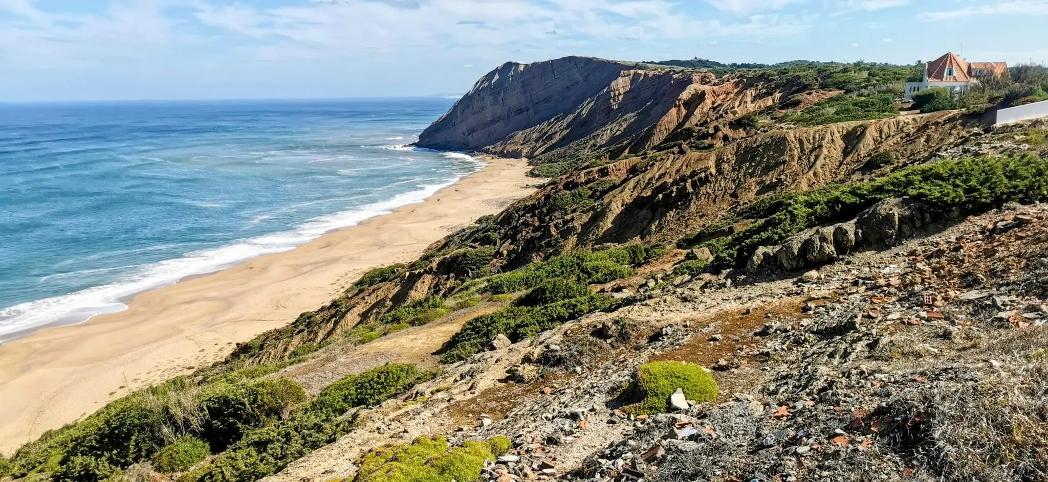
EuroVelo 1 Portugal – Cycle the Atlantic Coast
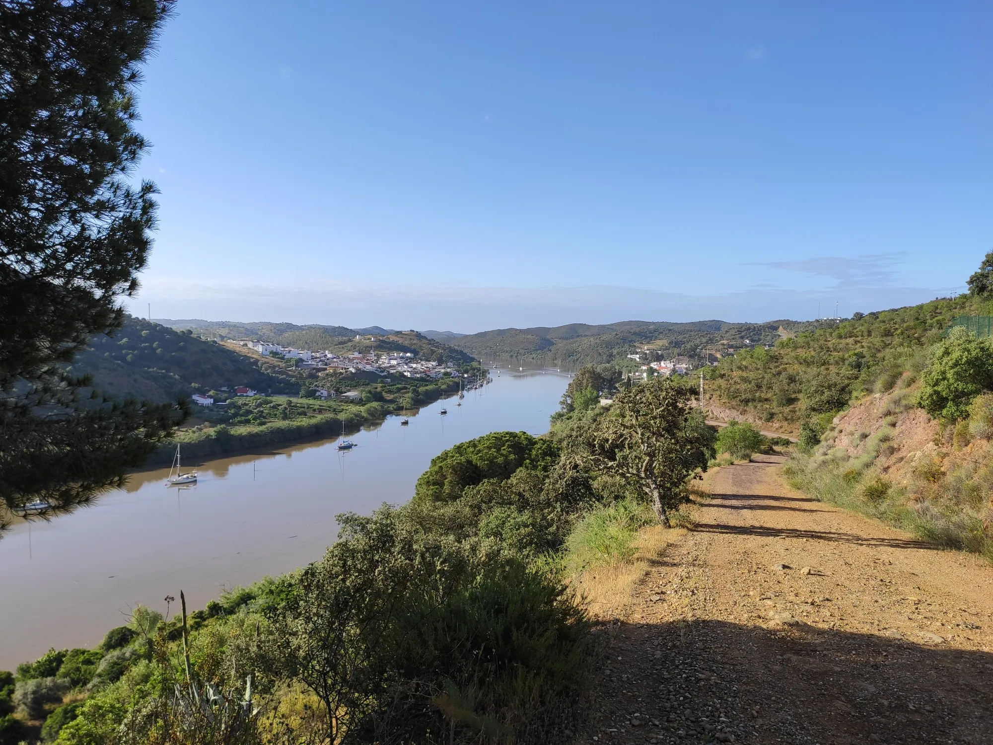
Stories of a river - Great Guadiana Route (GR 15)
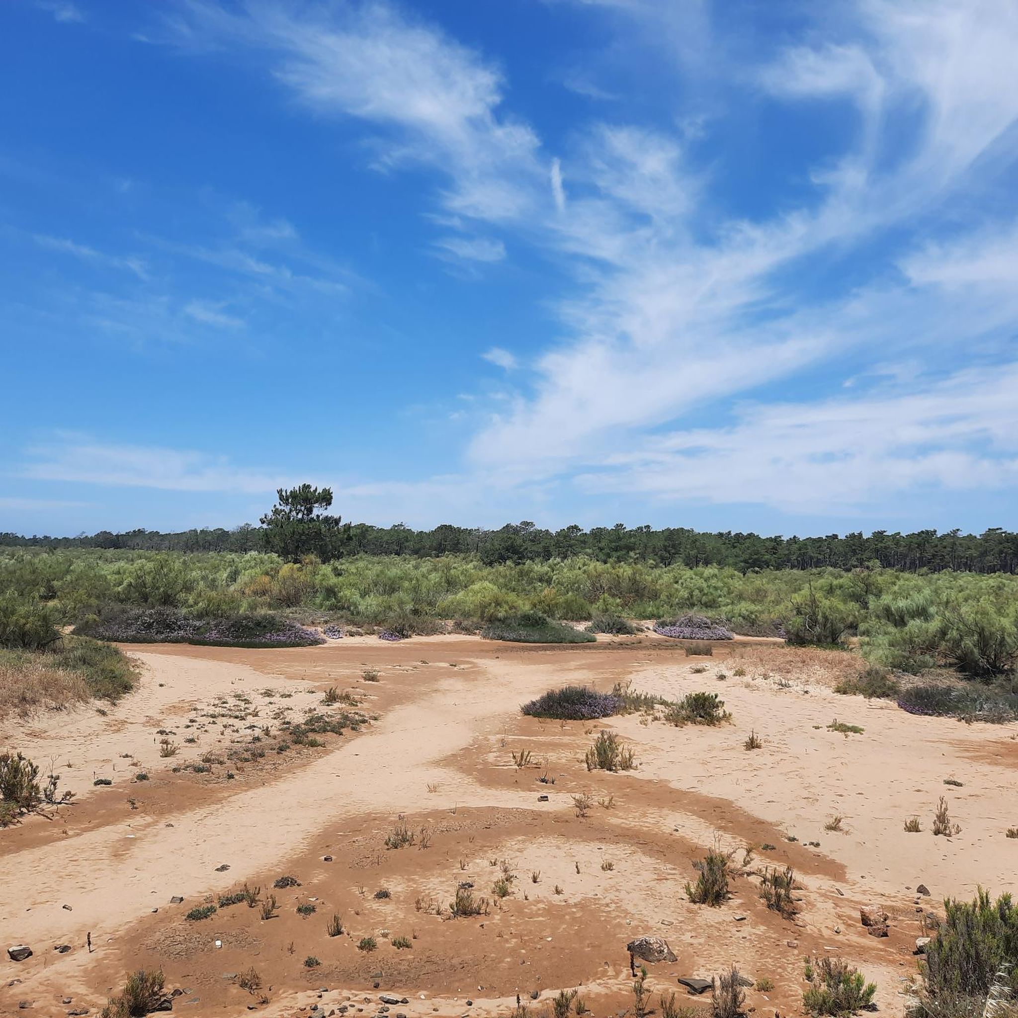
Hiking around Vila Real De Santo António
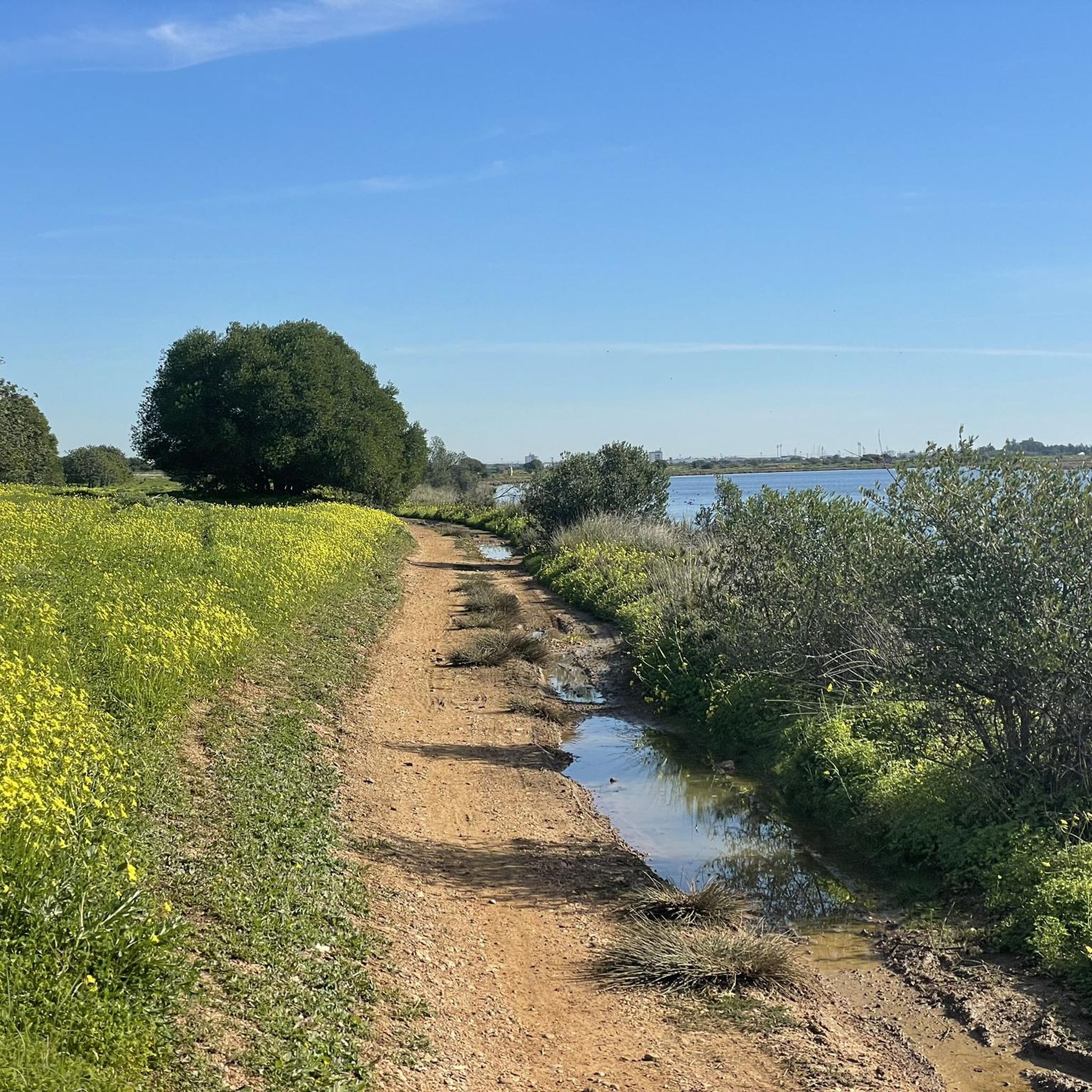
Running Trails around Vila Real De Santo António
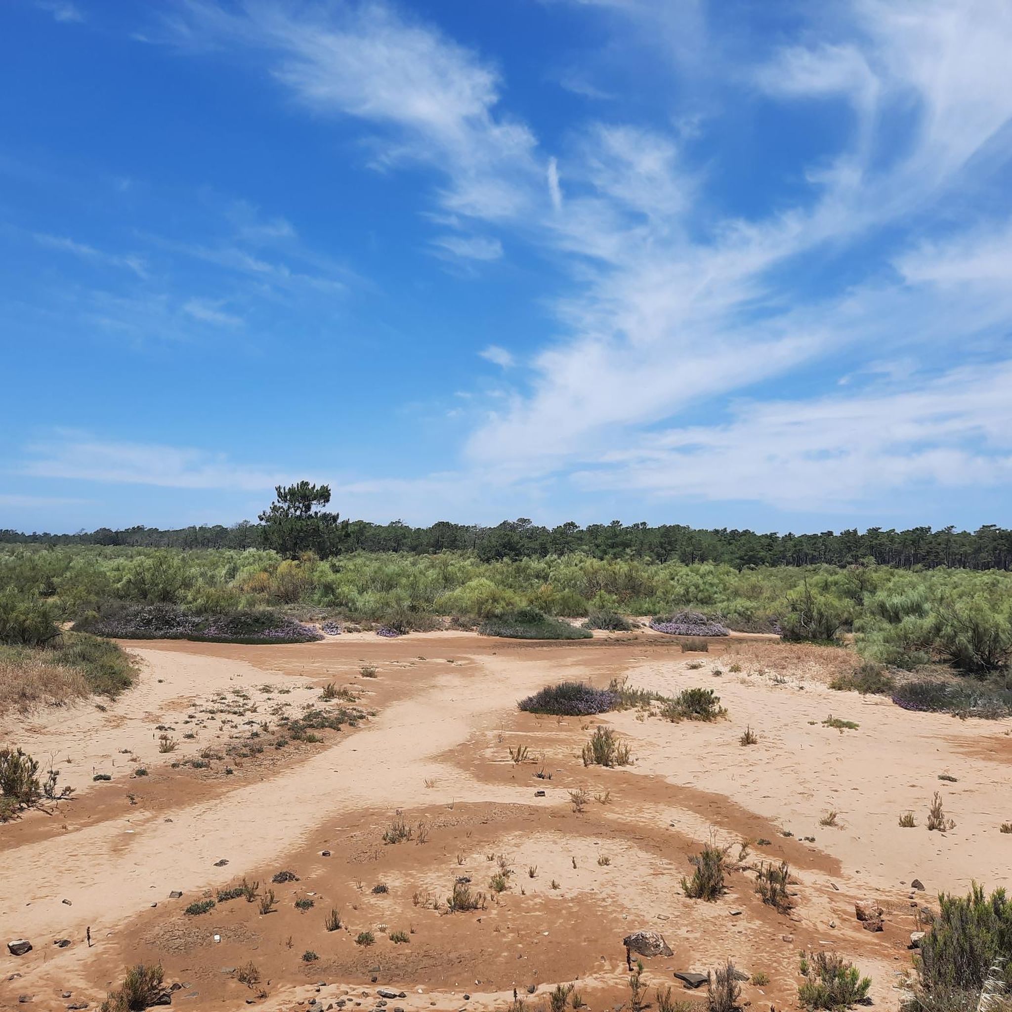
Road Cycling Routes around Vila Real De Santo António
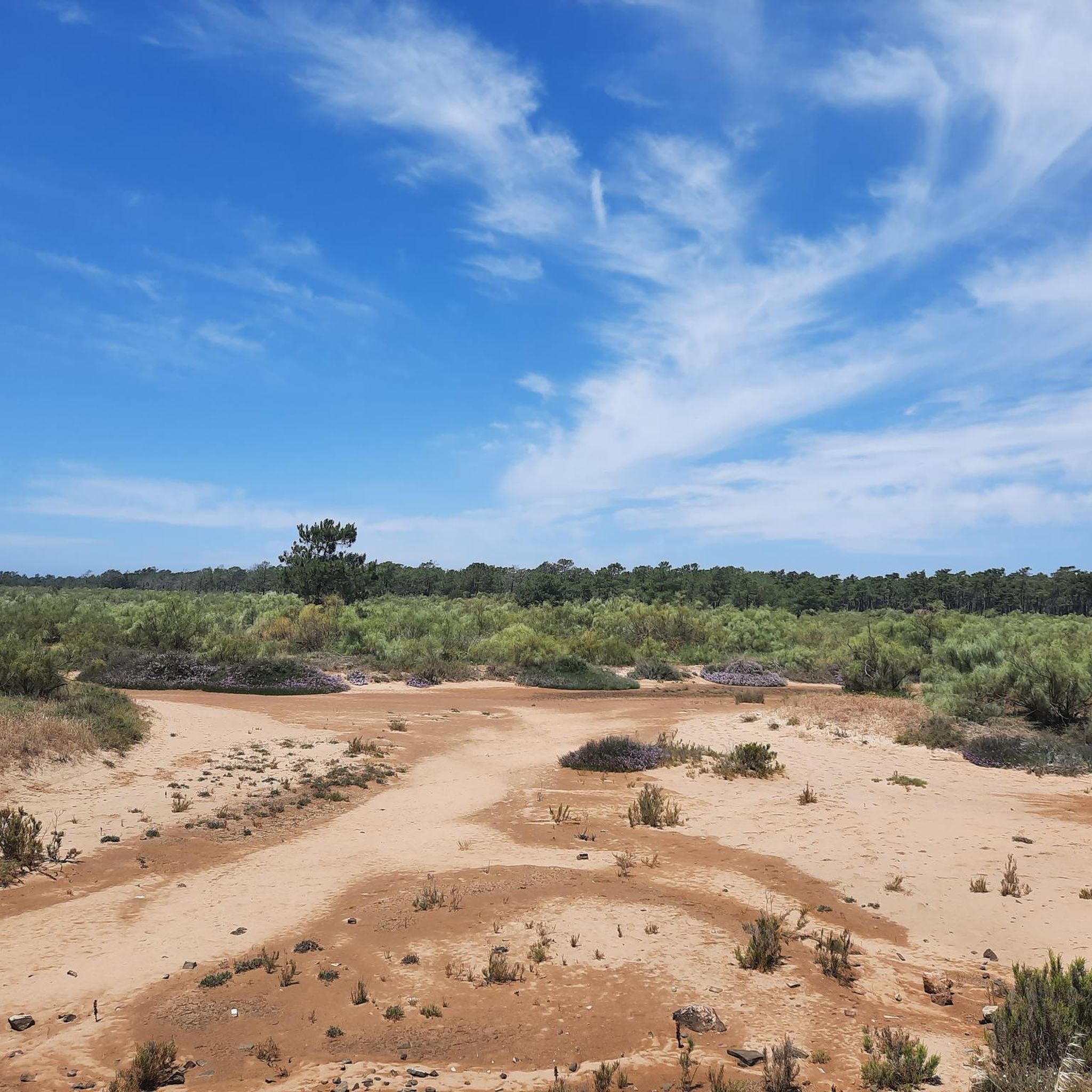
Cycling around Vila Real De Santo António
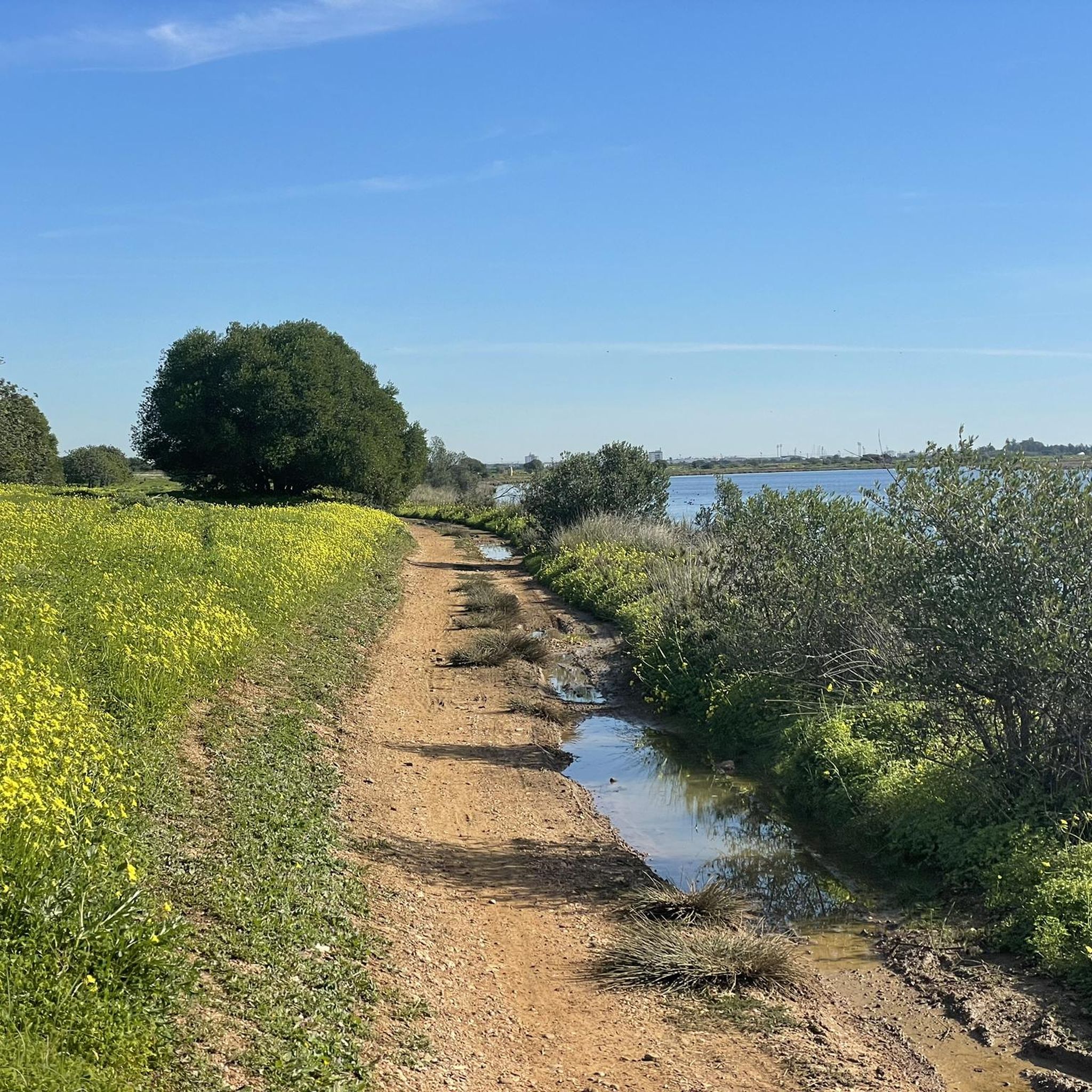
MTB Trails around Vila Real De Santo António
Other adventures around Vila Real De Santo António


Tips from the Community

Good way to get from Portugal to Spain or vice versa!
0
0

I think this sculpture is so true to life, you wouldn't be surprised if it spoke to you!
0
0
Vila Real de Santo António is located on the Gulf of Cádiz, which is part of the Atlantic Ocean, and on the right bank of the Guadiana River, whose lower reaches form the border between Portugal and Spain. The town offers several attractions, charming restaurants, bars, and cafés! A ferry ⛴️ provides convenient hourly service to the Spanish town of Ayamonte.
2
0
…there are hourly flights between Portugal and Spain ⛴️😃
2
0

No matter what time of year, the walk along the Arroyo Grande is always a pleasure, as is the view over the adjacent fields!
0
0

Departures every hour from 10am-7pm from Ayamonte (Monday-Friday). From Portugal, departures every half hour from 10:30am-5:30pm & 7pm.
0
0

Frequently Asked Questions
What are the typical difficulty levels for gravel bike trails around Vila Real De Santo António?
The gravel bike trails in this region range from easy to difficult. You'll find Puerto de Ayamonte – The marshes are rich in birdlife. loop from Ayamonte as an example of an easy route, while longer options like La Zaballa Picnic Area – Guadiana River loop from Vila Real de Santo António offer a more challenging experience.
Are there beginner-friendly gravel bike routes in Vila Real De Santo António?
Yes, the region offers several beginner-friendly gravel bike routes, particularly those that follow the riverbanks and coastal paths. These routes often have low elevation profiles, making them accessible for those new to gravel biking. An easy option is the Puerto de Ayamonte – The marshes are rich in birdlife. loop from Ayamonte, which is just over 13 miles (21 km) long.
What kind of distances can I expect on gravel bike trails near Vila Real De Santo António?
Gravel bike trails in the area vary in length. You can find shorter routes around 13 miles (21 km), such as the Puerto de Ayamonte – The marshes are rich in birdlife. loop from Ayamonte, up to longer, more challenging rides like the La Zaballa Picnic Area – Guadiana River loop from Vila Real de Santo António, which covers approximately 38.7 miles (62 km).
Are there any circular gravel bike routes available?
Many of the gravel bike routes around Vila Real De Santo António are designed as loops, allowing you to start and end at the same point. Examples include the Ayamonte Town Center – La Antilla Beach loop from Ayamonte and the The marshes are rich in birdlife. – Odiel Marshes loop from Vila Real de Santo António.
What is the best time of year for gravel biking in Vila Real De Santo António?
The region enjoys a mild climate, making gravel biking pleasant for much of the year. Spring and autumn generally offer the most comfortable temperatures, avoiding the peak heat of summer and the occasional winter rains. This allows for enjoyable rides through the marshes and along the coast.
What natural features or landmarks can I expect to see along the gravel trails?
The gravel trails often traverse the extensive wetlands and marshlands of the Guadiana River estuary, which are rich in birdlife. You might also encounter coastal sections and riverine paths. Notable highlights include the Marshes and Saltworks of Isla Cristina and the historic Castro Marim Castle.
Are there family-friendly gravel biking options in the area?
Yes, the predominantly flat to gently undulating terrain makes many routes suitable for families. The easier trails, particularly those along the coast or through less challenging marshland sections, are ideal for family outings. Always check the specific route details for distance and elevation to ensure it matches your family's ability.
Where can I find parking when gravel biking in Vila Real De Santo António?
Parking is generally available in and around the main towns like Vila Real de Santo António and Ayamonte, which serve as common starting points for many routes. Look for designated parking areas near trailheads or town centers. Specific parking information can often be found in the route descriptions on komoot.
Are there places to stop for refreshments or cafes along the gravel bike routes?
Many routes connect to or pass through towns and villages where you can find cafes, restaurants, and shops for refreshments. Coastal routes, in particular, often have more options. It's always a good idea to check the map for amenities along your chosen route and carry sufficient water and snacks, especially on longer or more remote sections.
What do other gravel bikers enjoy most about the trails in Vila Real De Santo António?
The komoot community highly rates the gravel biking experience here, with an average score of 5.0 stars. Riders often praise the unique landscape of riverine paths, coastal sections, and extensive marshlands, as well as the variety of routes suitable for different skill levels. The opportunity to observe abundant birdlife in the marshes is also a frequently mentioned highlight.
Are there any challenging gravel bike routes for experienced riders?
For experienced riders seeking a challenge, there are longer routes with more significant elevation gains. The La Zaballa Picnic Area – Guadiana River loop from Vila Real de Santo António is classified as difficult, covering nearly 39 miles (62 km) with over 1500 feet (470 meters) of ascent, offering a more demanding ride through varied terrain.
Can I find scenic viewpoints on the gravel trails around Vila Real De Santo António?
Yes, the region offers numerous scenic viewpoints, especially along the Guadiana River estuary and within the marshlands. These spots provide excellent opportunities to observe the unique ecosystem and birdlife. Coastal sections also offer expansive views of the Atlantic. Consider routes that specifically highlight these natural areas for the best vistas.
Most popular routes around Vila Real De Santo António
Most popular attractions around Vila Real De Santo António

Get inspired with the komoot mobile app


Explore more
Browse the best Gravel rides in other regions.
