The best gravel rides around Monterey Park
5.0
(1)
60
riders
6
rides
Gravel biking around Monterey Park, located in the western San Gabriel Valley of Los Angeles County, primarily involves routes through urban-adjacent hills and river corridors. The terrain often features paved and unpaved sections, with significant elevation changes as routes extend into the surrounding foothills. These areas provide a mix of natural surfaces and developed paths suitable for gravel bikes. The region's gravel cycling routes offer challenging climbs and descents, often connecting local parks with more expansive natural areas.
Best gravel…
Last updated: May 16, 2026
5.0
(1)
17
riders
46.7km
04:38
1,710m
1,710m
Hard gravel ride. Very good fitness required. Mostly paved surfaces. Suitable for all skill levels.
12
riders
61.6km
04:36
1,280m
1,280m
Hard gravel ride. Very good fitness required. Mostly paved surfaces. Suitable for all skill levels.

Sign up for free
5
riders
32.8km
03:06
890m
890m
Hard gravel ride. Very good fitness required. Mostly paved surfaces. Suitable for all skill levels.
5
riders
52.8km
04:47
1,430m
1,430m
Hard gravel ride. Very good fitness required. Mostly paved surfaces. Suitable for all skill levels.
5
riders
Hard gravel ride. Very good fitness required. Mostly paved surfaces. Suitable for all skill levels.
Our route recommendations are based on thousands of hikes, rides, and runs completed by other people on komoot.
Start today with a free account
Your next adventure awaits.
Login or Signup
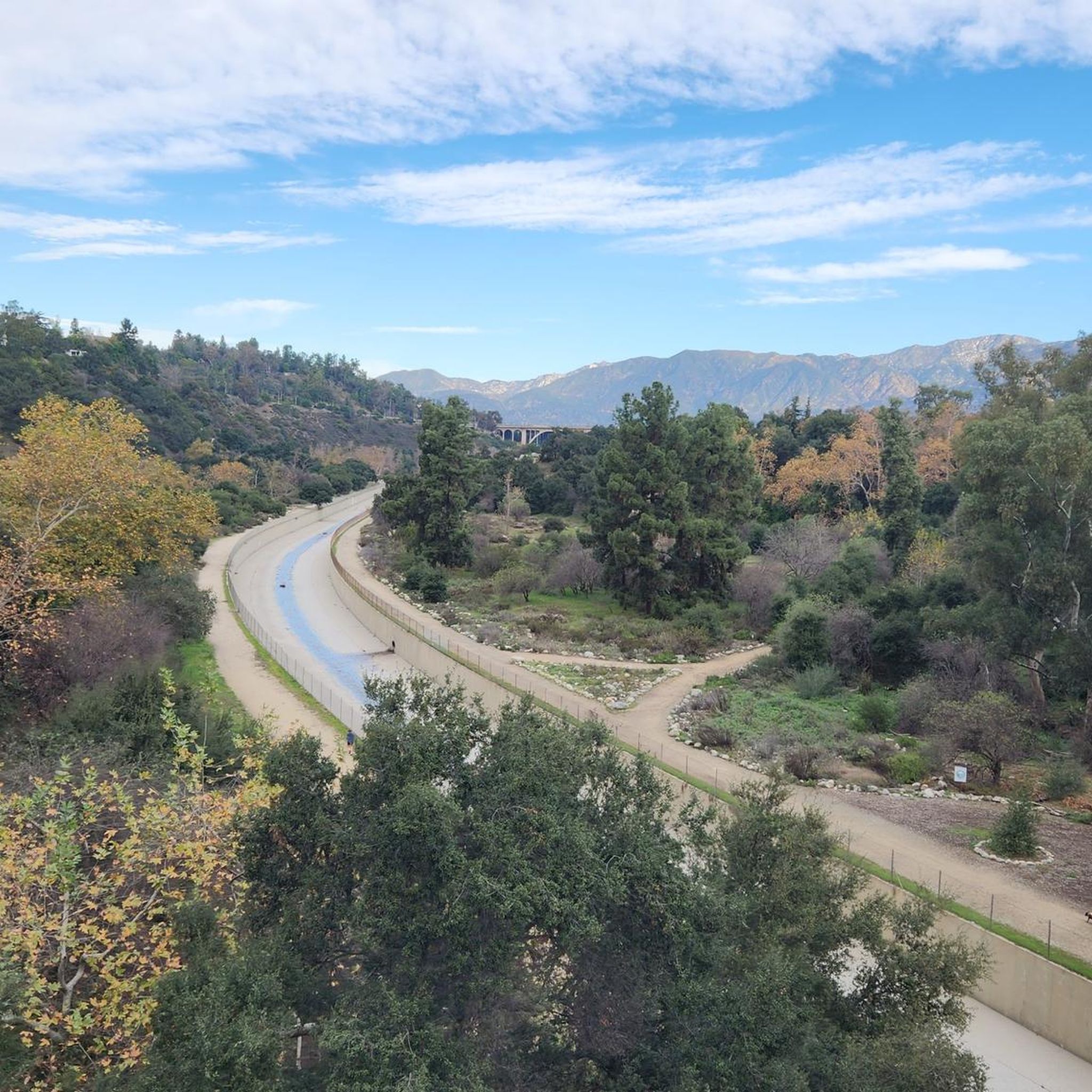
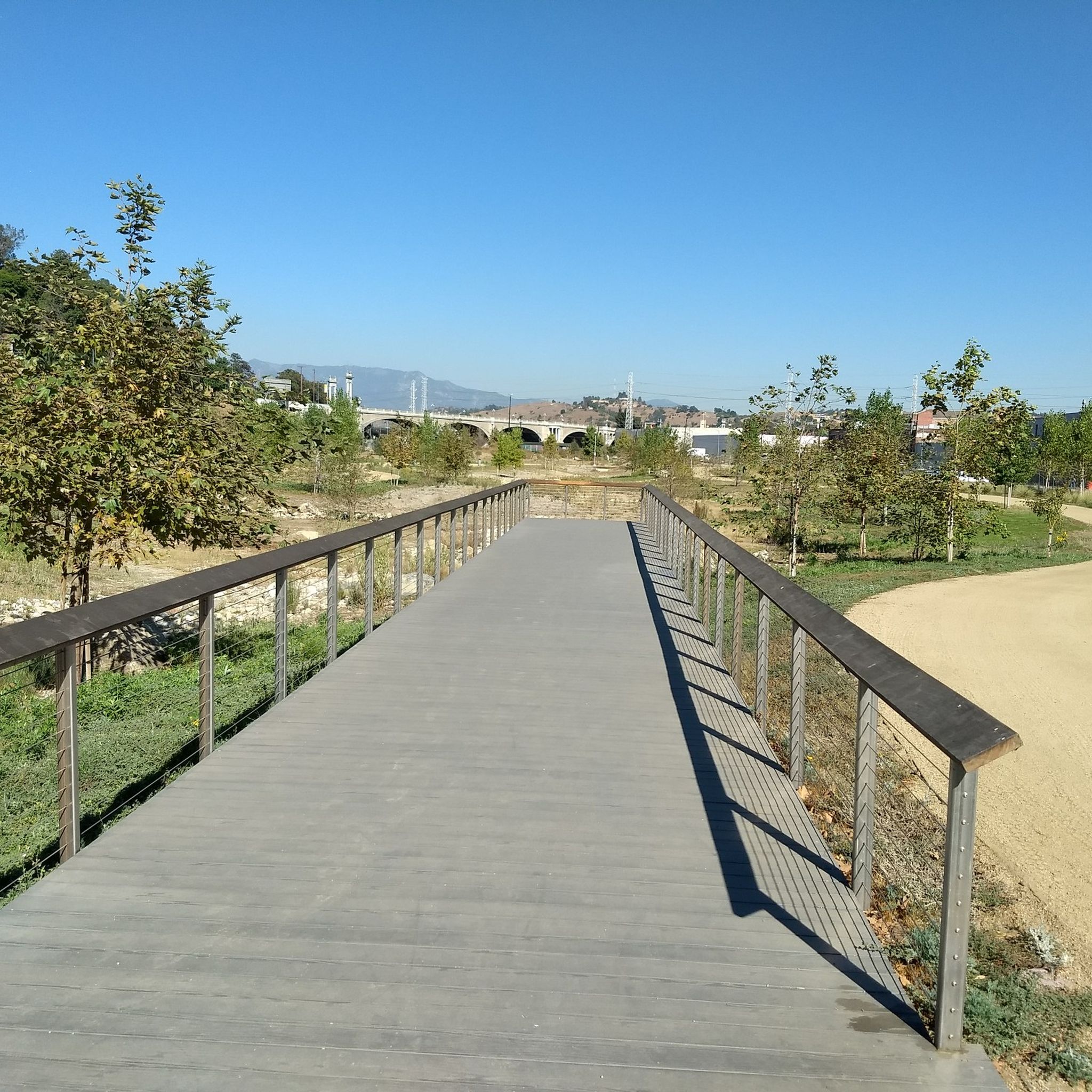
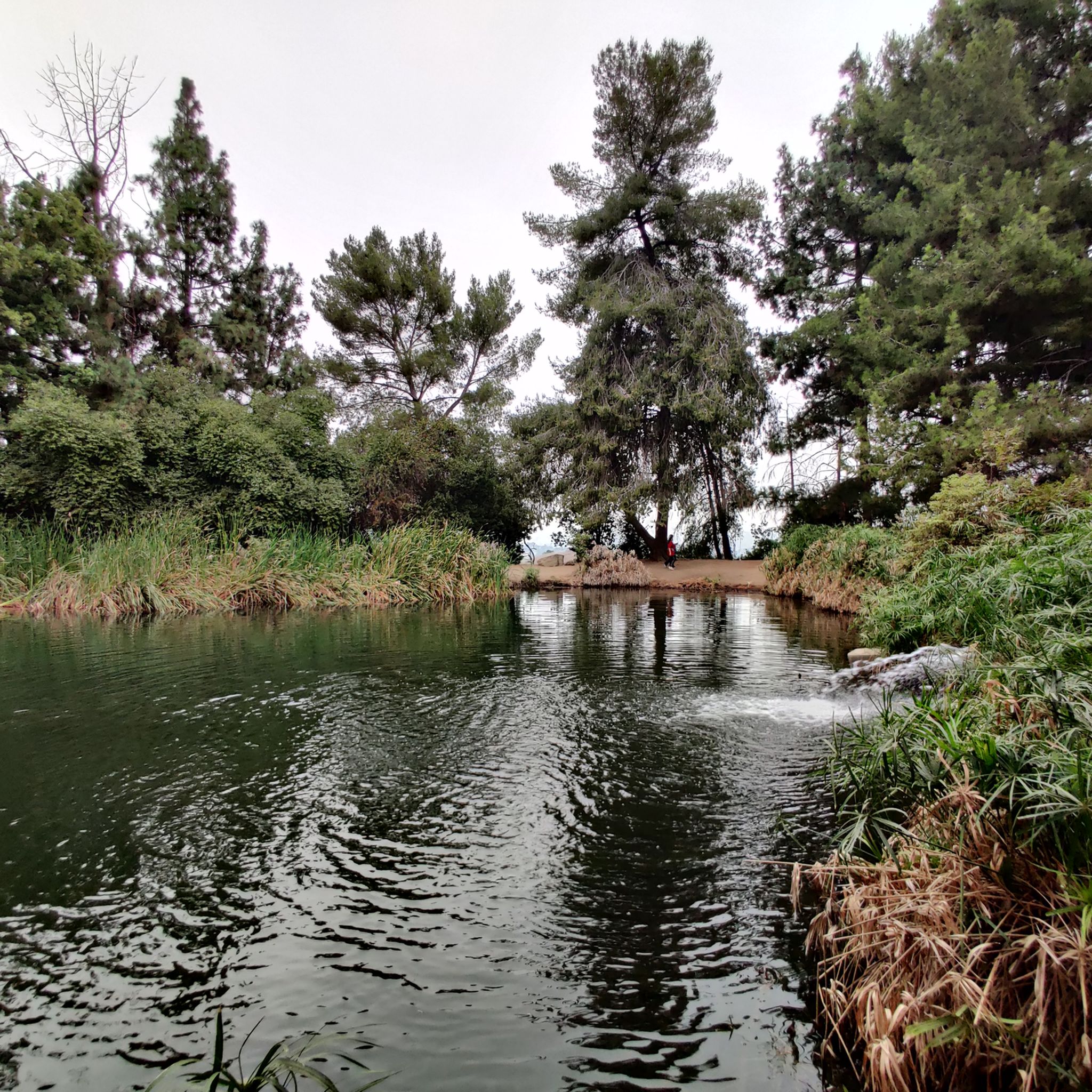


Tips from the Community

Short tunnel on the eastern slope below San Gabriel Peak, part of the old Mt Lowe Motorway, that was never paved. The tunnel is very short, so you don't have to worry about bringing light. The road continues to the trailhead half a mile uphill.
0
0


Just below the Mt Wilson Trailhead on Red Box Road, this overlook and memorial is a perfect place to pause. Sit and take in sweeping views of the San Gabriel Valley, and read the memorial plaque honoring early conservation efforts.
0
0
Henninger Flats sits along the road with views of Altadena. You’ll pass by it while climbing the Mt. Wilson Toll Road and can take a moment to catch your breath while enjoying the views. The route features a steady climb with minimal shade, so it’s best to start early, especially in summer. At the top, enjoy panoramic views of the San Gabriel Valley and explore the area, which includes a visitor center, picnic spots, and a tree nursery.
0
0

This tunnel was blasted into existence in 1942 to form the old Mount Lowe Motorway.
0
0

Climb out of the Brookside Golf Club area and into the Pasadena suburban area. This climb has a nice shoulder and is lined with trees.
0
0
Ride through Turnbull Canyon and be rewarded with stunning views of Los Angeles County and surround yourself with a mix of natural beauty and historical intrigue. The road climbs with an average gradient of 5.2%, gaining 775 feet in elevation and peaking at 1,161 feet. Be cautious of fast-driving vehicles on the winding roads.
1
0
A quick pull-off from the Angeles Crest Highway gives way to Millard Falls Trailhead and LA Overlook, with great views of downtown and the forests in the gateway to Angeles National Forest.
0
0
Frequently Asked Questions
What kind of gravel biking experience can I expect around Monterey Park?
Gravel biking around Monterey Park primarily involves routes through urban-adjacent hills and river corridors, often featuring a mix of paved and unpaved sections. These routes typically include significant elevation changes as they extend into the surrounding foothills, offering challenging climbs and descents. The area is best suited for experienced gravel bikers seeking difficult routes with substantial elevation gain.
How many gravel bike trails are available in the Monterey Park area?
There are 7 gravel bike routes available in the Monterey Park area. Most of these, specifically 6 out of 7, are rated as difficult, with one route being of moderate difficulty. These routes are designed for riders looking for a challenging experience.
Are there any easy or family-friendly gravel bike trails near Monterey Park?
Based on the available routes, the gravel biking trails around Monterey Park are predominantly rated as difficult, with significant elevation changes. There is one route rated as moderate, but no routes are specifically categorized as easy or family-friendly. The terrain and distances suggest these routes are better suited for experienced riders.
What are some notable landmarks or attractions I might see while gravel biking near Monterey Park?
While the routes themselves focus on the riding experience, the broader area around Monterey Park offers several points of interest. You might encounter urban landmarks like the Walt Disney Concert Hall or the Historic Colorado Street Bridge. There are also natural features such as Silver Lake Reservoir and Legg Lake in the vicinity.
Are there any circular gravel bike routes in the area?
Yes, several routes are designed as loops. For example, the Arroyo Seco Bike Trail – Verdugo Peak loop from South Pasadena and the Turnbull Canyon – Turnbull Debris Basin loop from Rose Hills are popular circular options, offering varied terrain and challenging ascents.
What is the best time of year for gravel biking around Monterey Park?
Monterey Park and the surrounding Los Angeles area generally have a mild climate, making gravel biking enjoyable for much of the year. However, summer months can be very hot, especially on routes with significant sun exposure and climbs. Spring and fall typically offer the most comfortable temperatures for longer rides.
Are dogs allowed on the gravel bike trails near Monterey Park?
The specific regulations for dogs can vary depending on the exact trail section or park you are in. While some urban parks in Monterey Park allow dogs on leash, the more extensive gravel routes often traverse areas with different rules. It's always best to check local signage or the specific park's regulations for the route you plan to ride to ensure dog-friendly access.
Where can I find parking for gravel biking routes in the Monterey Park area?
Many of the gravel routes around Monterey Park start from or pass through areas with public parking, such as parks or trailheads. For instance, routes originating from South Pasadena or Memorial Park often have nearby parking facilities. It's advisable to check the starting point of your chosen route for specific parking information.
What are the typical trail conditions for gravel biking in this region?
The gravel trails around Monterey Park can vary significantly. You'll encounter a mix of paved roads, unpaved fire roads, and singletrack sections. Conditions can range from smooth packed dirt to loose gravel and rocky patches, especially on the more challenging climbs and descents. Recent weather can also affect conditions, with rain potentially leading to muddy sections.
What do other gravel bikers say about the routes around Monterey Park?
The komoot community rates the gravel biking experience around Monterey Park highly, with an average score of 5.0 stars. Riders often appreciate the challenging nature of the routes, the significant elevation gains, and the opportunity to explore varied terrain close to urban areas.
Are there any cafes or places to eat near the gravel bike trails?
Given that many routes start or pass through urban-adjacent areas like South Pasadena or Pasadena, you'll find various cafes, restaurants, and convenience stores nearby. These towns offer ample opportunities to refuel before or after your ride.
Can I reach the gravel bike trails using public transport?
Many of the starting points for gravel routes in the broader Monterey Park area, such as South Pasadena or Memorial Park in Pasadena, are accessible via public transportation, including Metro Rail and bus services in Los Angeles County. Planning your route with public transport in mind is recommended to confirm specific connections.
What kind of bike is suitable for gravel biking around Monterey Park?
Given the mix of paved and unpaved sections, significant elevation changes, and potentially rugged terrain, a dedicated gravel bike with appropriate tire clearance and gearing is highly recommended. A mountain bike could also be suitable, especially for the more difficult and technical sections.
Most popular attractions around Monterey Park

Get inspired with the komoot mobile app


Explore more
Browse the best Gravel rides in other regions.
