The best gravel rides in Worcester County
4.5
(14)
157
riders
24
rides
Gravel biking in Worcester County, Massachusetts, offers diverse landscapes and extensive trail networks. The region features a mix of challenging terrains and scenic routes, catering to various skill levels. Cyclists can explore converted rail trails, state parks, and watershed areas, characterized by varied surfaces from stone dust to dirt. The landscape includes rolling hills, reservoirs, and woodlands, providing a varied backdrop for gravel rides.
Best gravel bike trails in Worcester County
- The most popular gravel bike trail is Mass Central Rail Trail – Thayer Pond WMA loop from Conservation Land, a 16.6 miles (26.7 km) trail that takes 1 hour 44 minutes to complete. This route offers a moderate ride through varied terrain, including sections of the Mass Central Rail Trail.
- Another top favourite among local gravel bikers is Tripoint marker – French River loop from Douglas, a difficult 39.5 miles (63.6 km) path. This longer route features significant elevation changes and explores the French River area.
- Local gravel bikers also love the Rutland State Park – Rutland State Park loop from Rutland State Park, a 16.8 miles (27.1 km) trail leading through Rutland State Park, often completed in about 2 hours 28 minutes.
- Gravel biking in Worcester County is defined by its extensive rail trail sections, state parks, and reservoir areas, offering a mix of surfaces from packed dirt to gravel roads. The network provides options for different ability levels, from moderate loops to more challenging long-distance rides.
- The routes in Worcester County are highly rated by the komoot community with an average score of 4.3 stars from over 10 reviews. More than 150 gravel bikers have used komoot to explore Worcester County's varied terrain.
Last updated: October 1, 2026
4.5
(2)
15
riders
26.7km
01:43
160m
160m
Moderate gravel ride. Good fitness required. Mostly paved surfaces. Suitable for all skill levels.
9
riders
31.5km
02:25
290m
290m
Moderate gravel ride. Good fitness required. Mostly paved surfaces. Suitable for all skill levels.

5.0
(1)
10
riders
21.0km
01:24
120m
120m
Easy gravel ride. Great for any fitness level. Mostly paved surfaces. Suitable for all skill levels.
4.0
(1)
5
riders
33.4km
02:25
260m
260m
Moderate gravel ride. Good fitness required. Mostly paved surfaces. Suitable for all skill levels.
4.0
(1)
5
riders
32.5km
02:42
290m
290m
Moderate gravel ride. Good fitness required. Mostly paved surfaces. Suitable for all skill levels.
4.0
(1)
2
riders
32.4km
02:35
330m
330m
Moderate gravel ride. Good fitness required. Mostly paved surfaces. Suitable for all skill levels.
11
riders
Moderate gravel ride. Good fitness required. Mostly paved surfaces. Suitable for all skill levels.
6
riders
Hard gravel ride. Very good fitness required. You may need to push your bike for some segments of this route.
5
riders
36.7km
03:02
180m
180m
Moderate gravel ride. Good fitness required. Mostly paved surfaces. Suitable for all skill levels.
5
riders
105km
07:54
1,000m
1,000m
Hard gravel ride. Very good fitness required. Mostly paved surfaces. Suitable for all skill levels.
Get access to more routes and recommendations from other explorers.
Already have an account?
Our route recommendations are based on thousands of hikes, rides, and runs completed by other people on komoot.
Start today with a free account
Your next adventure awaits.
Popular around Worcester County

Gravel biking around Rutland

Gravel biking in Rutland State Park

Gravel biking in Moore State Park

Gravel biking in Eagle Lake Wildlife Refuge

Gravel biking around Athol
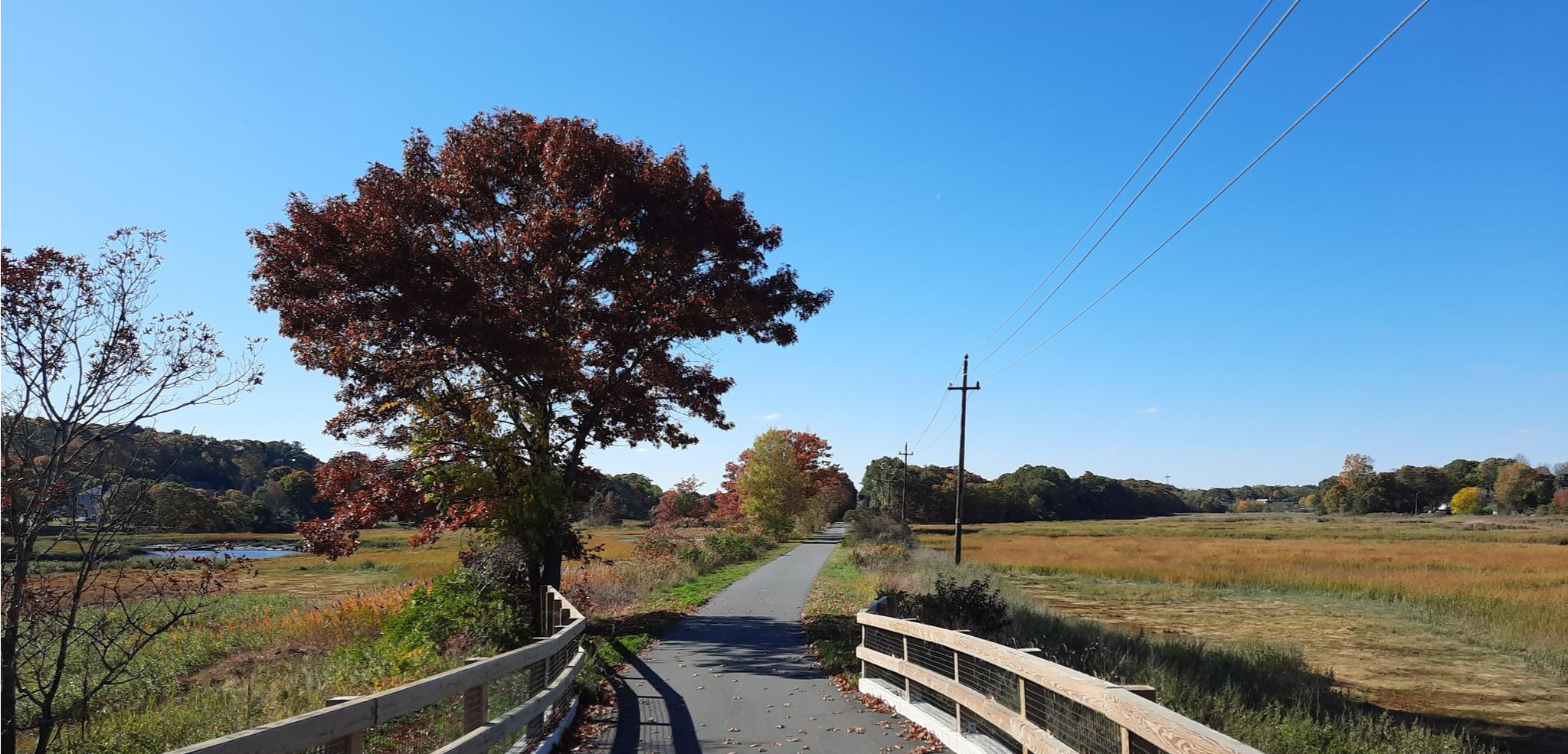
East Coast Greenway — An unforgettable ride along the Atlantic Seaboard
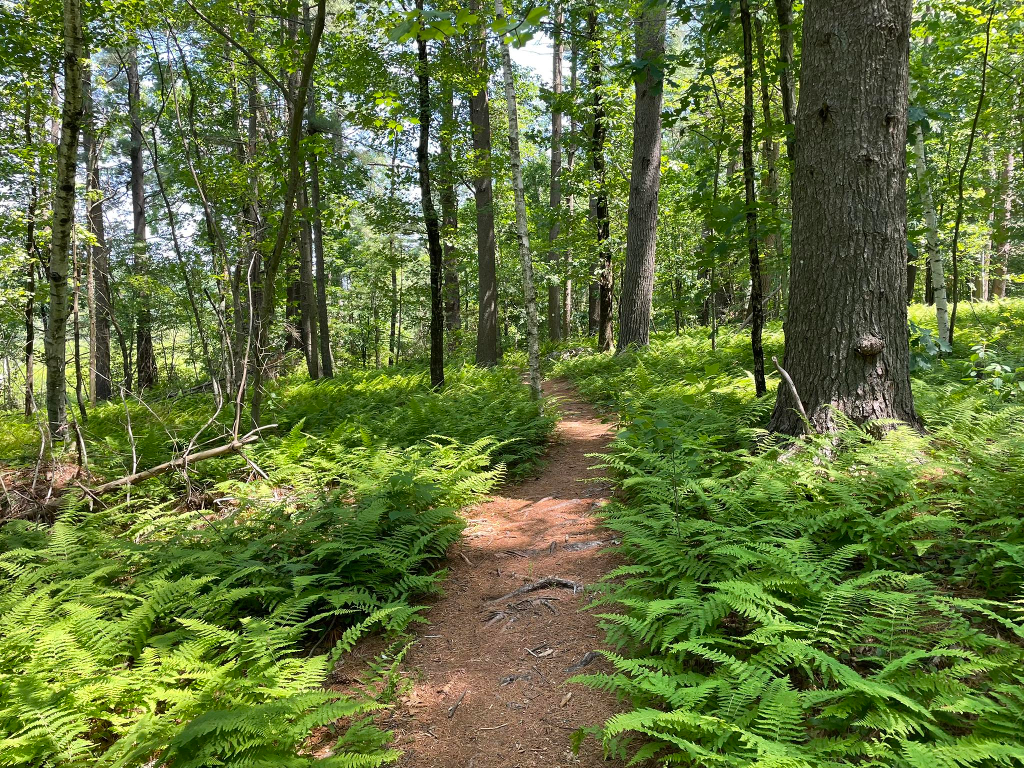
Bay Circuit Trail and Greenway — Walking the Emerald Necklace
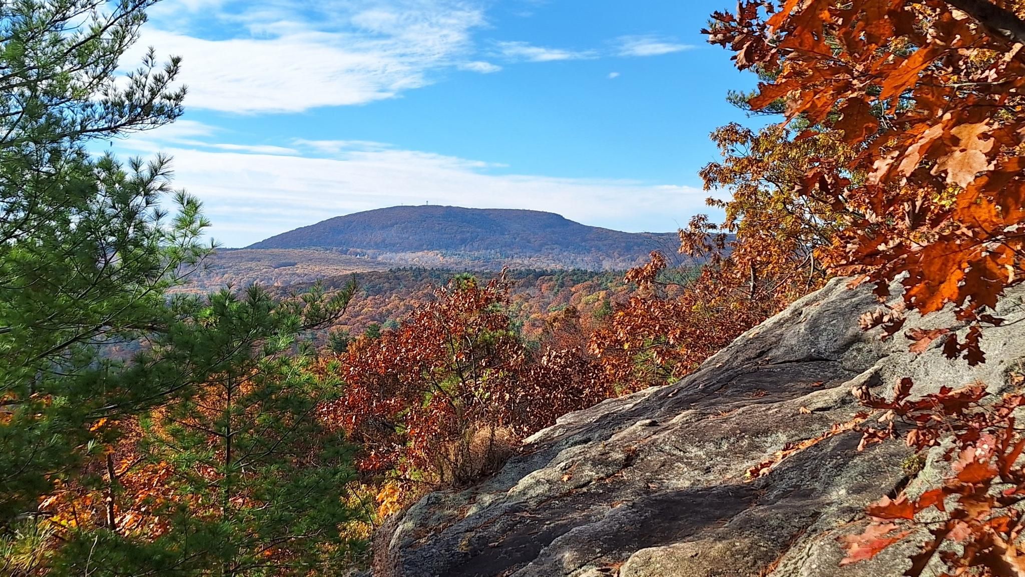
Midstate Trail — 92 miles through the heart of Massachusetts
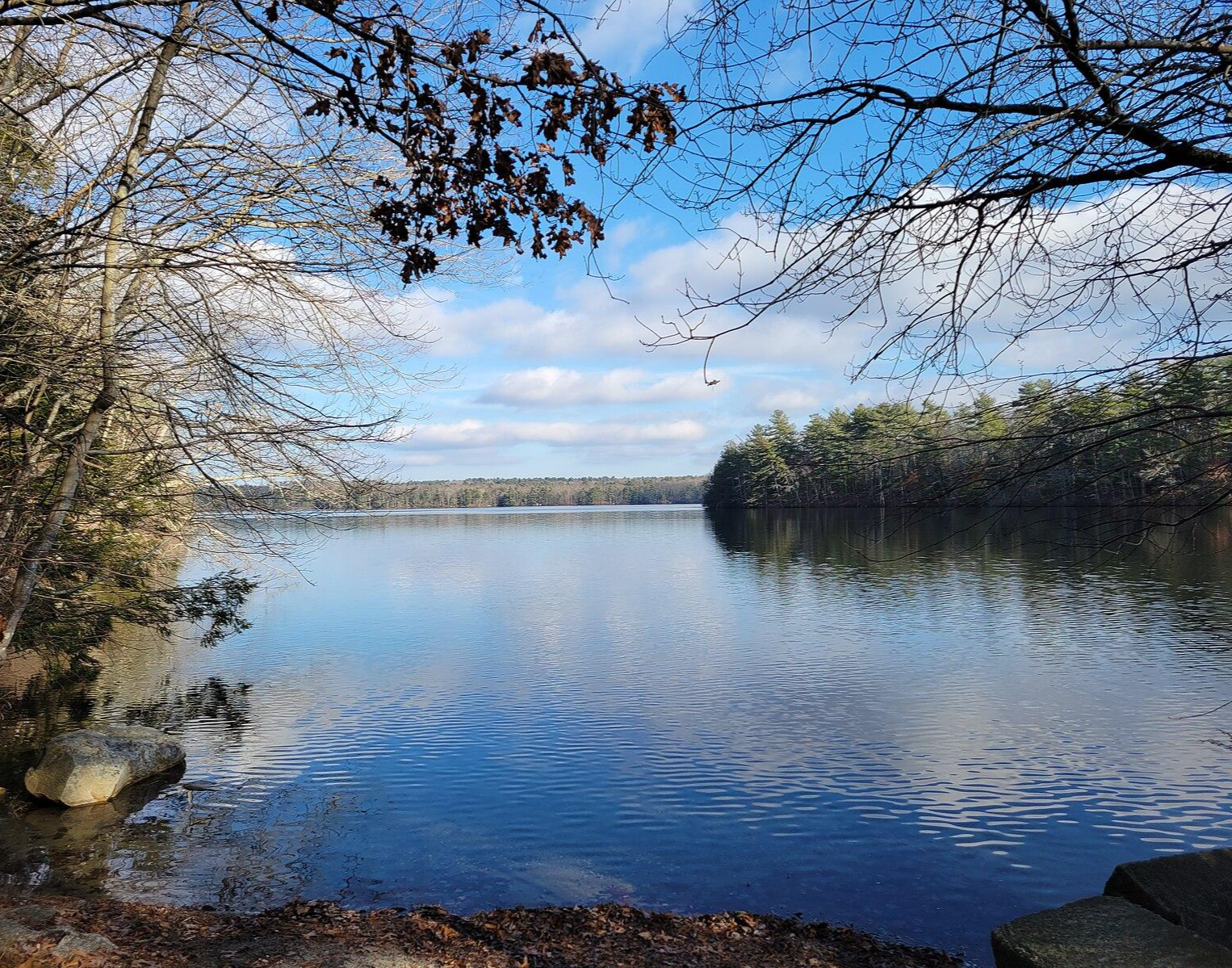
North-South Trail — The Smallest State's Longest Walk
Hiking in Worcester County
Other adventures in Worcester County


Tips from the Community

Small beach with relatively warm water. Portapotty at peak season.
0
0


This section of the Mass Central Rail Trail passes under the interstate bridge built to cross the Quinapoxet River. There is some greenery surrounding the path, and it looks up towards the bridge way above.
0
0

The second-largest water body in Massachusetts, the Wachusett Reservoir is as beautiful as it is huge. It can hold a whopping 65 billion US gallons of water. The Quinapoxet and Stillwater rivers and the Quabbin Aqueduct feed into the reservoir. Bear in mind that camping and swimming isn't allowed in some places around the reservoir.
0
0

This trail is part of a planned 104 mile path from Boston to Northampton. It is laid over an old rail bed that was destroyed during a hurricane in 1938. This section is mostly hard packed crushed stone that is great for biking, running and walking. There are some short segments of grassy double track.
0
0

Thayer Pond WMA is a 131-acre outdoor playground with the Central Mass Rail Trail running through it. You can enjoy wildlife viewing, hunting, and fishing in this natural landscape. The eastern part of the preserve is home to Thayer Pond, while the western part has a mixed hardwood forest with gray foxes and squirrels. Mill Brook flows through it, where you can spot several beaver impoundments along its banks.
0
0
This 280-acre pond is used to protect the natural wetlands in this area. It is a popular spot for birdwatching and fishing. It is a great spot for a break to enjoy the wonderful setting.
1
0

Wallum Pond Hill is a 663-foot hill just off of Wallum Lake Road. This is a nice climb through a pretty area, ending at the Douglas State Forest-managed Wallum Lake. If you head north from here and are looking to add a little gravel to your road ride, you can link up with the Southern New England Trunkline Trail.
0
0
Frequently Asked Questions
How many gravel bike trails are available in Worcester County?
Worcester County offers a diverse network of over 15 gravel bike trails, catering to various skill levels. These routes range from moderate loops to more challenging long-distance rides, often incorporating sections of rail trails, state parks, and reservoir areas.
Are there family-friendly gravel biking options in Worcester County?
Yes, several routes are suitable for families. The Mass Central Rail Trail – Thayer Pond WMA loop from Massachusetts is an easy 13-mile (21 km) path, perfect for a relaxed family outing. Many sections of the Mass Central Rail Trail are known for their varied surfaces, from stone dust to dirt, making them accessible for different riders.
Can I bring my dog on the gravel trails in Worcester County?
Many state parks and conservation areas in Worcester County generally allow dogs on trails, typically requiring them to be on a leash. For example, areas around Rutland State Park and sections of the Mass Central Rail Trail are often dog-friendly. However, it's always best to check specific park regulations before you go, especially for wildlife sanctuaries like Broad Meadow Brook Conservation Center.
Are there any circular gravel bike routes or loops in the area?
Yes, many of the gravel routes in Worcester County are designed as loops. A popular moderate option is the Rutland State Park – Rutland State Park loop from Rutland State Park, which is about 16.8 miles (27.1 km) long. Another great choice is the Mass Central Rail Trail – Thayer Pond WMA loop from Conservation Land, offering a moderate ride through varied terrain.
What kind of terrain can I expect on gravel bike trails in Worcester County?
Worcester County's gravel trails feature diverse terrain, from packed dirt and stone dust on converted rail trails to more rugged gravel roads and forest paths. You'll encounter rolling hills, especially around areas like Wachusett Reservoir and Rutland State Park, providing a mix of challenging climbs and scenic descents.
Are there challenging gravel routes for experienced riders?
Absolutely. For experienced riders seeking a challenge, the Tripoint marker – French River loop from Douglas is a difficult 39.5-mile (63.6 km) path with significant elevation changes. Another demanding option is the Wachusett Reservoir – Rutland State Park loop from Sterling, a 44.6-mile (71.7 km) route known for its hard gravel riding and requiring good fitness.
What are some natural features or landmarks I can see along the gravel trails?
Many routes offer scenic views and pass by notable natural features. You can explore the vast Wachusett Reservoir, the second-largest body of water in Massachusetts, or ride through Rutland State Park. The Tripoint marker is a unique landmark found on one of the more challenging routes. Additionally, the region boasts areas like the Ware River Watershed and the Blackstone River Valley National Heritage Corridor, offering both natural beauty and historical context.
Is parking available at the trailheads?
Yes, many popular gravel biking areas in Worcester County, such as Rutland State Park and various access points along the Mass Central Rail Trail, offer designated parking. For specific routes, like the Thayer Pond WMA – Mass Central Rail Trail loop from Houghton Elementary parking, parking is explicitly available at the starting point.
What is the best time of year for gravel biking in Worcester County?
Spring, summer, and fall are generally excellent for gravel biking in Worcester County. The varied landscapes are particularly beautiful during the autumn foliage. While some trails may be suitable for winter riding, especially with fat bikes, it's always advisable to check local conditions for snow and ice before heading out.
Are there any long-distance gravel routes in Worcester County?
For those looking for longer rides, Worcester County has several options. The Fitzwilliam – Dublin Lake loop from Baldwinville is a substantial 61.2-mile (98.6 km) route. Another long and challenging ride is the Thayer Pond WMA – Mass Central Rail Trail loop from Houghton Elementary parking, covering 44.9 miles (72.3 km).
What do other gravel bikers enjoy most about gravel biking in Worcester County?
The area is highly rated by the komoot community, with an average score of 4.3 stars from over 10 reviews. Reviewers often praise the diverse landscapes, extensive trail networks, and the mix of challenging terrains and scenic routes that cater to various skill levels. The blend of converted rail trails, state parks, and watershed areas provides a varied and engaging experience.
Can I access gravel trails using public transport?
While many gravel trails in Worcester County are best accessed by car due to their rural nature, some areas within the Blackstone River Valley National Heritage Corridor, which extends from Worcester, may have better public transport links. For routes closer to the city of Worcester, you might find bus services that can get you closer to trailheads, but direct access to all gravel routes via public transport can be limited.
Most popular routes in Worcester County
Most popular attractions in Worcester County

Get inspired with the komoot mobile app


Didn’t find what you were looking for?
Check out more Gravel rides throughout Worcester County below and find the perfect route in your destination.
Explore more
Browse the best Gravel rides in other regions.
