The best gravel rides around Campo De Gomara
4.4
(5)
156
riders
66
rides
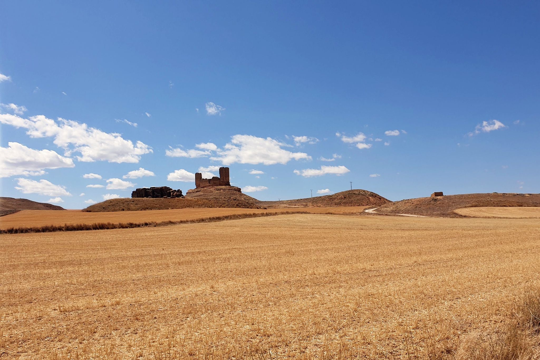
Gravel biking around Campo De Gomara offers routes through a landscape characterized by rolling hills, river valleys, and agricultural lands. The region features a mix of unpaved roads, forest tracks, and former railway lines, providing varied terrain for gravel cyclists. Elevation changes are moderate, with some routes including longer climbs. The area's natural features and historical infrastructure define the riding experience.
Best gravel bike trails around Campo De Gomara
- The most popular gravel bike trail is Toledillo Train Stop –…
Last updated: October 6, 2026
5.0
(1)
22
riders
90.2km
04:46
380m
380m
Moderate gravel ride. Good fitness required. Mostly paved surfaces. Suitable for all skill levels.
18
riders
52.8km
02:53
300m
300m
Moderate gravel ride. Good fitness required. Mostly paved surfaces. Suitable for all skill levels.

5.0
(1)
22
riders
39.7km
02:18
240m
240m
Moderate gravel ride. Good fitness required. Mostly paved surfaces. Suitable for all skill levels.
10
riders
41.3km
03:01
280m
280m
Moderate gravel ride. Good fitness required. Mostly paved surfaces. Suitable for all skill levels.
4.0
(1)
18
riders
29.0km
01:51
230m
230m
Moderate gravel ride. Good fitness required. Mostly paved surfaces. Suitable for all skill levels.
8
riders
55.5km
03:43
460m
460m
Hard gravel ride. Very good fitness required. Mostly paved surfaces. Suitable for all skill levels.
11
riders
93.6km
06:05
770m
770m
Hard gravel ride. Very good fitness required. Mostly paved surfaces. Suitable for all skill levels.
5
riders
42.0km
02:48
410m
410m
Moderate gravel ride. Good fitness required. Mostly paved surfaces. Suitable for all skill levels.
6
riders
72.5km
04:23
510m
510m
Hard gravel ride. Very good fitness required. Mostly paved surfaces. Suitable for all skill levels.
6
riders
56.9km
03:38
400m
400m
Moderate gravel ride. Good fitness required. Mostly paved surfaces. Suitable for all skill levels.
Get access to more routes and recommendations from other explorers.
Already have an account?
Our route recommendations are based on thousands of hikes, rides, and runs completed by other people on komoot.
Start today with a free account
Your next adventure awaits.
Popular around Campo De Gomara

Gravel biking around Fuentecantos

Gravel biking around Alconaba

Gravel biking around Velilla De La Sierra

Gravel biking around Renieblas

Around the World in 80 Days
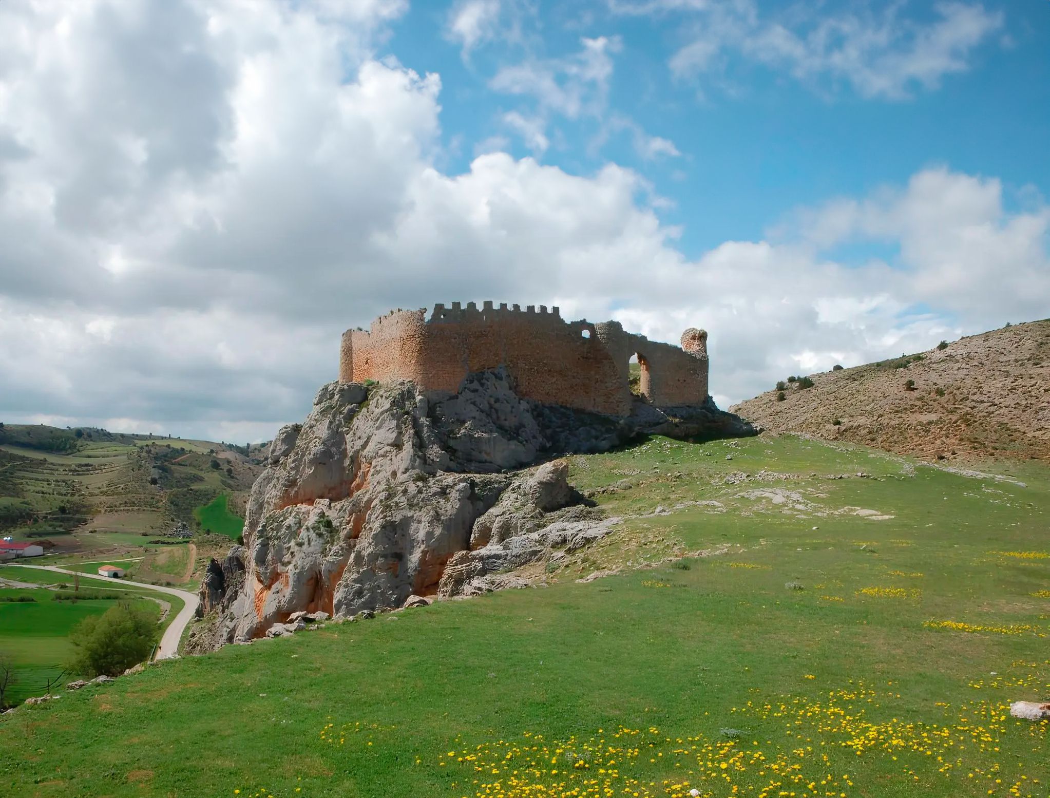
Around the Spanish province of Soria - Sendero Ibérico Soriano (GR 86)
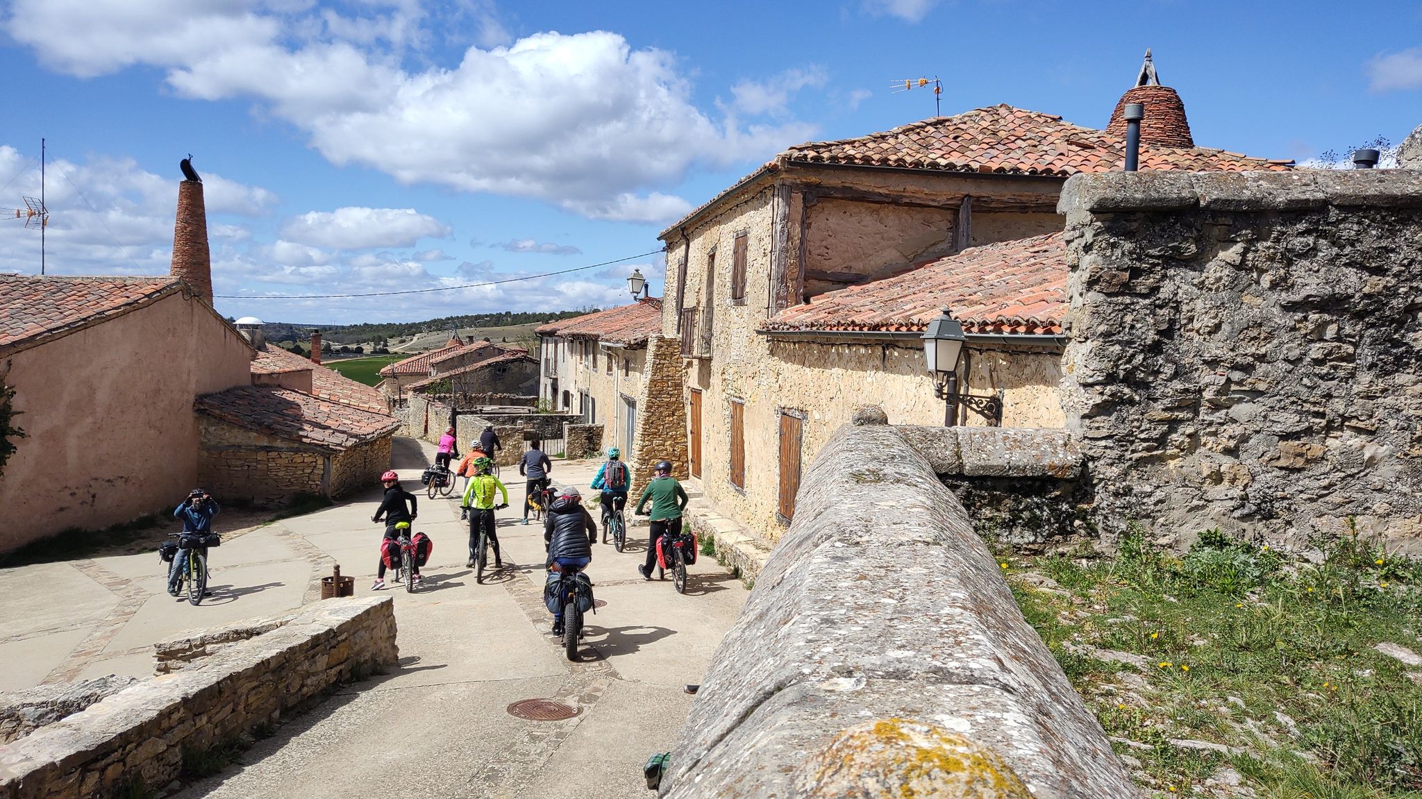
Millennial treasures on pedals – Romanesque art of Soria by MTB
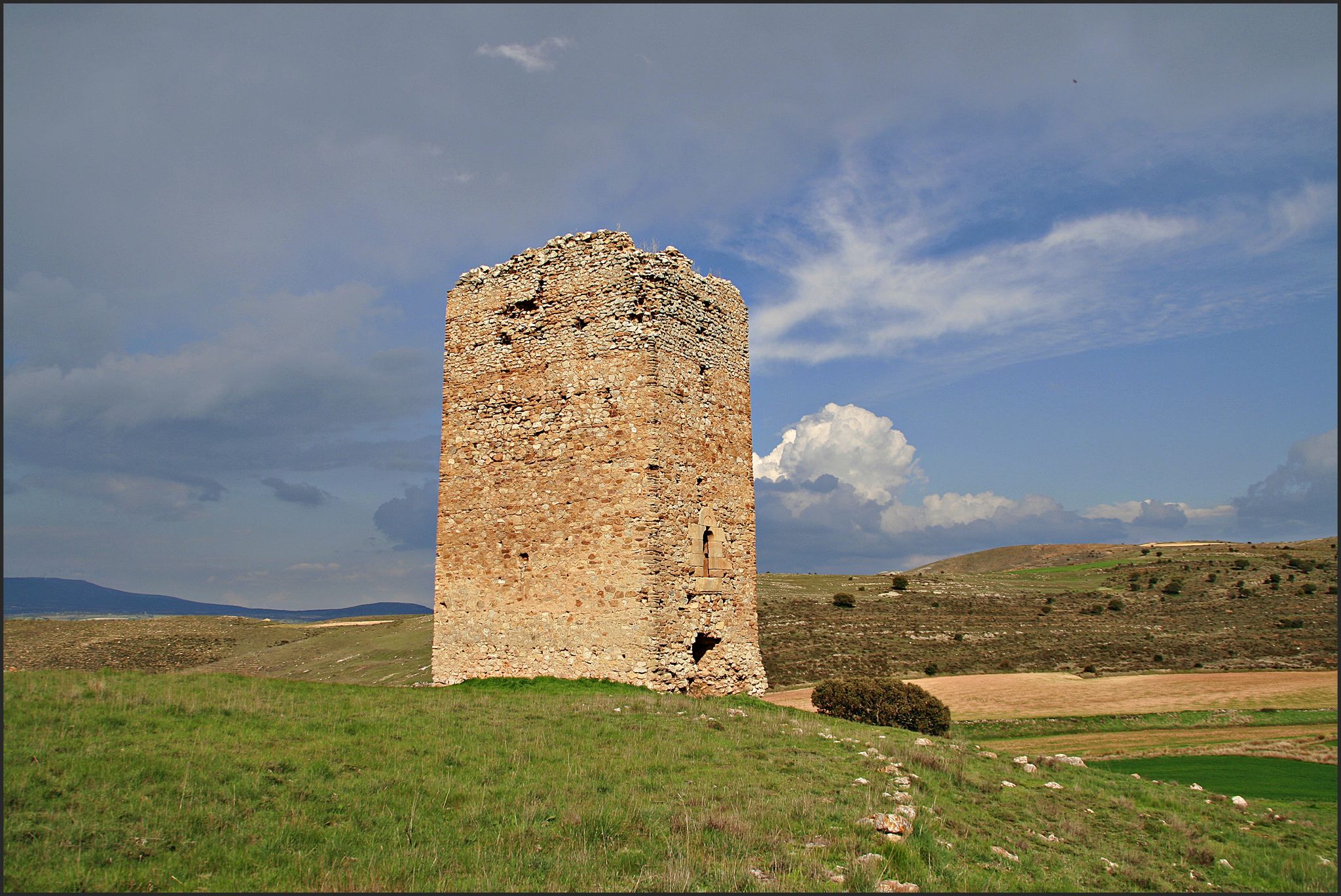
The Duero to the Ebro – Soriano Water Natural Trail
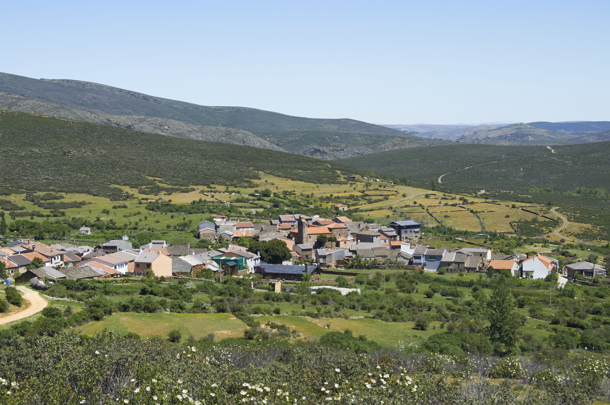
Tierras de Frontera on a gravel bike – El Camino del Cid
El Camino del Cid – The Borderlands on MTB
Other adventures around Campo De Gomara


Tips from the Community

Stage 1. Soria/Duruelo de la Sierra 106 kilometers. 1,240 meters of elevation gain. The stage's altitude data borders on a peaceful day of cycling from a medium-level perspective, especially the elevation gain concentrated in the final stretch, between Hontoria del Pinar and Duruelo de la Sierra. The stage can be divided into two days, with the first night's stop in San Leonardo de Yagüe, which has all the necessary amenities. In these bikepacking reports and suggestions, I try to provide information, suggestions, and opinions on optimal routes, routes, and terrain for enjoyable gravel bike travel. However, these data should always be assessed subjectively, allowing each cyclist to establish their own travel style and pace, depending on the tour company, the time of year, their goals, or their personal taste. A beautiful part of traveling is making each experience your own adventure. The milestones are marked, indicating paths, outstanding places, points of interest, or discoveries made by other cycle travelers, but each cyclist must find their own inspiration, and it will always be a unique journey. The Duero River has been a frontier since the dawn of Iberian civilizations, and Soria a strategic stronghold in a territory of conquest and power. And whenever I begin a bike trip in Soria, I always look for the riverbank to mark the starting point, at the foot of the Parque del Castillo, a natural space with an atmosphere of bygone eras marked by the power of a watercourse around a medieval fortress. A quiet and convenient place to park is the Paseo de San Prudencio parking lot, near the Romanesque chapels that distinguish the city's historical and artistic heritage. Along the riverside paths, there are gardens, recreational areas, kiosks, and inspiring sculptures, and on the opposite bank are the Church of San Polo and the Chapel of San Saturio, two jewels of Soria's Romanesque architecture. And there are also the signposts for the Senda del Duero Nature Trail, where the return route begins. The sign for the start of the Santander-Mediterranean Nature Trail section between Soria and Hontoria del Pinar is next to the train station, in another part of the city. The connection from the banks of the Duero River between the two Nature Trails has no specific signage; it follows the river along the riverside promenade, passes the San Saturio pedestrian bridge, and climbs along the University of Soria bike path to the Carretera de Madrid roundabout. The best route I've found in this area of industrial estates and vacant lots to reach the route of the old Santander railway is to go up Eduardo Saavedra Street to a crossroads where there are some car dealerships, turning left onto Camino del Cañuelo. This is a somewhat winding but effective route for reaching the "ground zero" of the Santander-Mediterranean Nature Trail by bike. The trail is located at the train station exit, with an information panel and the first red signs indicating the crossing points. And then it's time to pedal toward the forest kingdom of Tierra Pinariega and the Picos de Urbión. The first few kilometers fly by; it's a rural area, the villages are far from the railway, and you simply have to glide along the magnificent gravel surface of the old railway, seeing the remains of the stops, stations, and milestones of the Nature Trail. Ocenilla is a district of Cidones, close to the railway crossing, at the foot of the solitary Cabrejas mountain range. It's easy to cycle to the entrance of the village and see the sculpture of the Warrior of Ocenilla, a striking representation of a Celtiberian warrior found in the drawings of a 3rd-century BC vase, associated with the Numantian culture. The route winds along endless straight stretches alongside the Cabrejas mountain range and enters Tierra Pinariega through the municipalities of Abejar and Cabrejas del Pinar. Some milestones bear the yellow arrows of the Castilian-Aragonese Way of St. James.
0
0

Stations have no roof or are locked. No campspot
0
0

Ocenilla is a hamlet belonging to the municipality of Cidones. It is located 15 km from the capital, Soria. In the distance, beneath the foothills of the Sierra de Cabrejas, you can see the Pico Frentes. Access is the same as to Cidones, taking the N-234. Festivals include St. Anthony of Padua on June 13th and St. Stephen's Day on December 26th. A Celtiberian fortress stands here, part of the wall still stands today. The economy is based primarily on livestock farming. Among the plants, the oak stands out. Typical dishes include perolo on Christmas Eve and cachula, or pork blood broth. Art and Sights in Ocenilla Hermitage of San Antonio Church of San Esteban Archaeological Remains Don Simón Spring (Natural Spring) Ivy Spring (Natural Spring) Old Washhouse (Old Washhouse) Source: https://www.cidones.es/ocenilla
0
0

Not possible during high water, then the path is partially under water - today 11.5.24
0
0

Beautiful hermitage that is next to the road that goes in the direction of Abejar and as its name suggests, its white facade stands out from the rest of the landscape!
0
0

Following the Cantabria-Mediterranean greenway we arrive at the old Toledillo halt, with a bench in the shade to take a break with these spectacular views of the front peak
0
0

Frequently Asked Questions
How many gravel bike trails are available in Campo De Gomara?
There are over 45 gravel bike trails around Campo De Gomara, offering a diverse range of options for cyclists. These routes are primarily moderate to difficult, with 28 moderate and 17 difficult trails to explore.
Are there any beginner-friendly gravel bike routes in Campo De Gomara?
While most routes are moderate to difficult, many of the moderate trails can be suitable for beginners looking for a challenge, especially those with less elevation gain. For example, the Campillo de Buitrago Dam – Junta de los Ríos Trail loop from Soria is a moderate 28.3 km route with relatively low elevation gain, making it a good starting point.
What kind of terrain can I expect on gravel bike trails in Campo De Gomara?
The region features a mix of unpaved roads, forest tracks, and former railway lines. You'll encounter varied surfaces as you traverse rolling hills, river valleys, and agricultural lands. Elevation changes are generally moderate, though some routes include longer climbs.
Are there any circular gravel bike routes in Campo De Gomara?
Yes, many of the gravel bike routes in Campo De Gomara are designed as loops. For instance, the popular Junta de los Ríos Trail – Toledillo Train Stop loop from Soria is a 44.7 km circular path that traverses river valleys and rural tracks.
What are some challenging gravel bike routes for advanced riders?
For advanced riders seeking a significant challenge, the Cidones Railway Halt – Camino de Abejar loop from Soria is a difficult 92.4 km trail with substantial elevation gain, often taking nearly 8 hours to complete. Another demanding option is the Camino de Abejar – Cidones Railway Halt loop from Soria, a 68.5 km difficult route.
Are there any viewpoints along the gravel bike trails in Campo De Gomara?
Yes, the region offers several viewpoints that can be incorporated into your rides. Notable viewpoints include the Sierra del Madero Viewpoint and the Canto Hincado Viewpoint, both offering scenic vistas of the surrounding landscape.
What are some interesting landmarks or attractions near the gravel bike routes?
Beyond the trails, you can explore several historical and natural attractions. Consider visiting the Monasterio de Santa María de Huerta or the Church of San Miguel Arcángel of Ágreda. For natural beauty, the Soriano Natural Water Trail is also nearby.
What do other gravel bikers enjoy most about riding in Campo De Gomara?
The area is highly rated by the komoot community, with an average score of 4.0 stars. Reviewers often praise the varied terrain, which includes former railway lines and river valleys, providing a unique and engaging riding experience through rural landscapes.
Can I find routes that follow old railway lines?
Absolutely. The region is known for incorporating former railway infrastructure into its gravel routes. A prime example is the Toledillo Train Stop – Cidones Railway Halt loop from Soria, which follows sections of old railway lines, offering a distinct riding experience.
Are there any routes that explore river valleys?
Yes, many routes in Campo De Gomara traverse picturesque river valleys. The Puente del Canto – Junta de los Ríos Trail loop from Soria is a great option, leading you through scenic riverine landscapes.
What is the typical starting point for gravel bike tours in this region?
Many of the popular gravel bike tours in Campo De Gomara, such as the Toledillo Train Stop – Church of Santo Domingo loop from Soria, typically start from Soria, providing convenient access to the diverse network of trails.
Are there any routes that offer views of viaducts or Roman bridges?
Yes, you can find routes that feature historical infrastructure. The Soria Viaduct – Roman Bridge of Camparañón loop from Soria is an excellent choice, allowing you to cycle past both the Soria Viaduct and the Roman Bridge of Camparañón.
Most popular routes around Campo De Gomara
Most popular attractions around Campo De Gomara

Get inspired with the komoot mobile app


Didn’t find what you were looking for?
Check out more Gravel rides throughout Campo De Gomara below and find the perfect route in your destination.
Explore more
Browse the best Gravel rides in other regions.
