The best running trails around Campo De Gomara
4.9
(9)
813
runners
38
runs
Jogging routes Campo De Gomara offer a diverse landscape for runners, characterized by expansive cereal fields that provide broad, open spaces for long-distance running. The region is bordered by the Pica and Deza mountain ranges, with the majestic Moncayo Summit providing more challenging routes through oak forests and offering panoramic views. River valleys, including those of the Rituerto and Duero, offer pleasant, often shaded paths, while a "vía verde" near Almenar de Soria provides flat, well-maintained options. This varied terrain…
Last updated: November 5, 2026
30
runners
11.9km
02:15
980m
980m
Hard run. Very good fitness required. Sure-footedness, sturdy shoes and alpine experience required.
35
runners
26.7km
05:01
1,820m
1,820m
Hard run. Very good fitness required. Sure-footedness, sturdy shoes and alpine experience required.

11
runners
4.57km
00:31
30m
30m
Easy run. Mostly paved surfaces.
5.0
(1)
10
runners
7.69km
00:50
130m
130m
Moderate run. Good fitness required. Mostly paved surfaces.
9
runners
13.4km
02:31
1,040m
1,050m
Hard run. Very good fitness required. Mostly runnable paths. Some sure-footedness required.
8
runners
20.6km
04:20
1,930m
1,930m
Hard run. Very good fitness required. Sure-footedness, sturdy shoes and alpine experience required.
5.0
(2)
8
runners
14.6km
01:58
480m
480m
Hard run. Very good fitness required. Mostly paved surfaces.
11
runners
9.83km
02:07
990m
990m
Hard run. Very good fitness required. Mostly runnable paths. Some sure-footedness required.
7
runners
23.9km
03:43
1,160m
1,160m
Hard run. Very good fitness required. Sure-footedness, sturdy shoes and alpine experience required.
4
runners
6.68km
00:50
120m
120m
Moderate run. Good fitness required. Mostly paved surfaces.
Get access to more routes and recommendations from other explorers.
Already have an account?
Our route recommendations are based on thousands of hikes, rides, and runs completed by other people on komoot.
Start today with a free account
Your next adventure awaits.
Popular around Campo De Gomara

Running Trails around Beratón
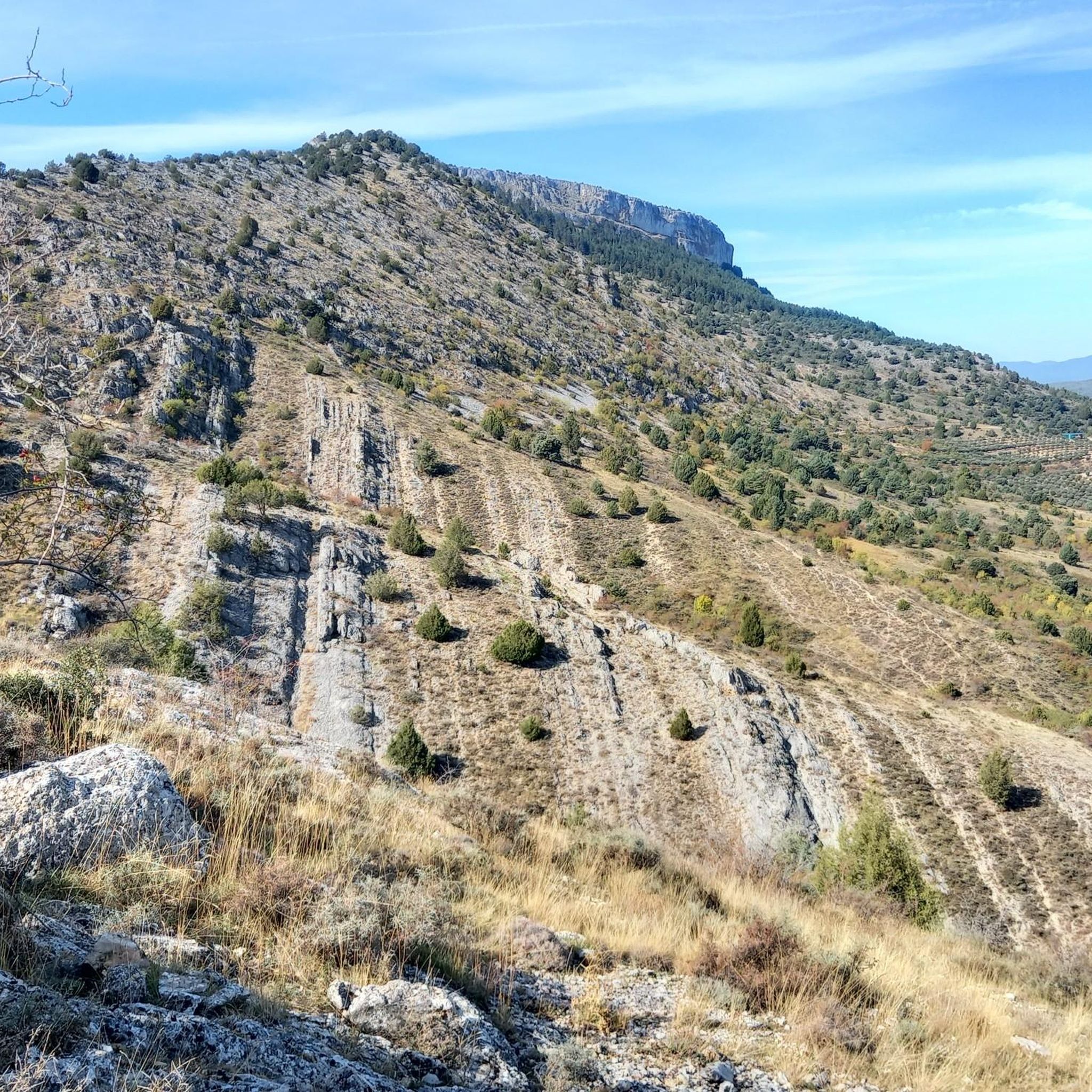
Running Trails around Cueva De Ágreda
Running Trails around Alconaba

Running Trails around Velilla De La Sierra

Running Trails around Renieblas

Running Trails around Los Villares De Soria

Running Trails around Borobia
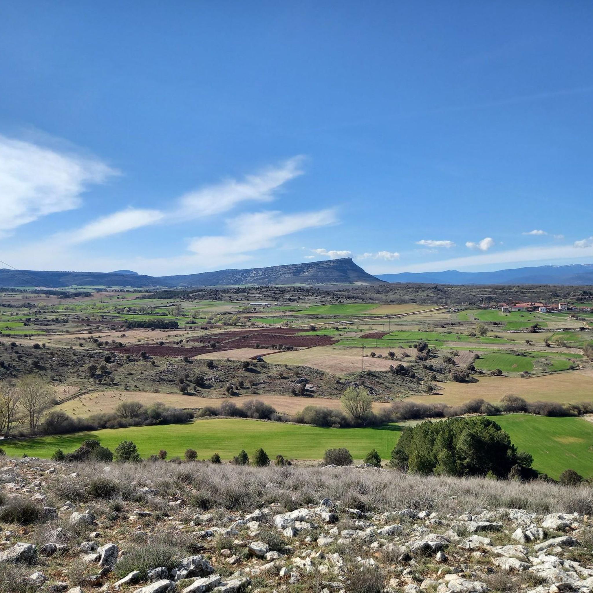
Running Trails around Fuentelsaz De Soria

Running Trails around Ólvega
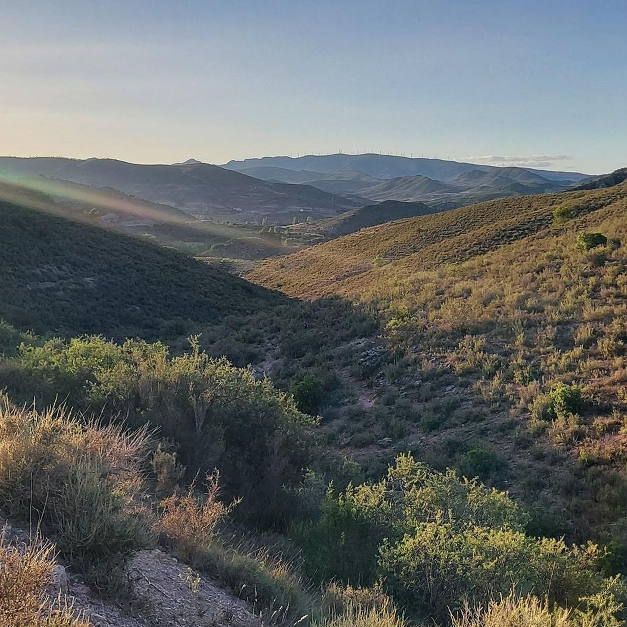
Running Trails around Ágreda
Other adventures around Campo De Gomara


Tips from the Community

A beautiful place where the road up to Moncayo ends. Fresh water
0
0

It is difficult to visit, but in the town there is a Cave Interpretation Center.
0
0

The Prado de Santa Lucía Snow Well is located near San Martín de Moncayo, in the province of Zaragoza, within the natural setting of the Moncayo Natural Park. This well is a traditional construction formerly used to store snow during the winter, which was then compacted and preserved for medical, food, or refrigeration purposes during warmer seasons. It is a semi-buried structure with stone walls and a vaulted roof, designed to retain the cold for months.
2
0

The summit of Moncayo, also known as Pico San Miguel, is the highest mountain in the Iberian system, with an altitude of 2315 metres. It is located between the provinces of Zaragoza (Aragon) and Soria (Castile and Leon) in Spain. To reach the summit, many hikers start from the Sanctuary of the Virgin of Moncayo, located at 1621 metres. From there, the route passes through the Cucharón cirque and the San Miguel basin before reaching the summit. The route offers spectacular views and is especially popular in spring and summer.
6
0
Beautiful town of Soria at the foot of Moncayo. Its name is due to its Cave that appears in the photo. Good bar and good torreznos.
1
0
Last part of the climb, the hardest.
1
0
Moncayo never disappoints. From Cueva de Agreda the climb is longer and harder, but it is worth the sacrifice. The views from the summit, towards Aragon and towards Castilla, are impressive.
1
0
Frequently Asked Questions
How many running routes are available in Campo de Gómara?
There are over 15 dedicated running routes in Campo de Gómara, offering a diverse range of experiences. These include routes through expansive cereal fields, challenging mountain trails towards Moncayo Summit, and serene river valleys.
What kind of terrain can I expect when jogging in Campo de Gómara?
Jogging in Campo de Gómara offers varied terrain. You'll find expansive, relatively flat cereal fields ideal for long-distance runs, as well as more challenging hilly and mountainous paths through oak forests, especially around the Moncayo Summit. River valleys provide pleasant, often shaded routes, and there's even a well-maintained 'vía verde' (greenway) near Almenar de Soria for smoother runs.
Are there any easy or moderate jogging routes for beginners in the area?
While many routes in Campo de Gómara are rated as difficult, there are several moderate options suitable for those looking for a less strenuous run. For example, the Ólvega loop from Ólvega is a moderate 4.8-mile (7.7 km) trail through open agricultural fields, typically completed in under an hour. Another moderate option is the Running loop from Chércoles, which is about 4.1 miles (6.7 km).
What are the most challenging running trails in Campo de Gómara?
For experienced trail runners seeking a challenge, Campo de Gómara offers several difficult routes. The Barranco del Colladico – Pico Lobera loop from Cueva de Ágreda is a demanding 16.4-mile (26.4 km) path through mountainous terrain. Another strenuous option is the Pico Moncayo – trail running desde Cuevas de Ágreda, which involves significant elevation gain towards the summit.
Can I combine my run with sightseeing or visiting historical landmarks?
Absolutely! Campo de Gómara is rich in historical and natural attractions. You can plan your run to pass by significant Romanesque churches in towns like Fuensaúco or Tozalmoro. Near Renieblas, you can explore the remains of a Roman camp and a medieval bridge of Roman origin. The Monasterio de Santa María de Huerta is also a notable religious site in the vicinity that could be incorporated into a longer excursion.
Are there any scenic viewpoints or natural features to discover along the running routes?
Yes, the region boasts several scenic spots. The routes leading to Moncayo Summit offer splendid panoramic views through beautiful oak forests. You can also discover the picturesque Pozo de las Truchas Waterfall in the Cañón del Río Val, or the unique red earth geological formations in areas like Aguaviva de la Vega.
What do other runners say about the trails in Campo de Gómara?
The running routes in Campo de Gómara are highly rated by the komoot community, with an average score of 4.7 stars from more than 5 reviews. Runners often praise the diverse landscapes, from the open cereal fields to the challenging mountain paths, and the opportunity to explore historical sites while enjoying their activity.
Are there any circular running routes available?
Yes, many of the routes in Campo de Gómara are designed as loops, allowing you to start and finish in the same location. Examples include the Ólvega loop from Ólvega and the Barranco del Colladico – Pico Lobera loop from Cueva de Ágreda, catering to different difficulty levels.
Is there public transport access to the running trails in Campo de Gómara?
While specific public transport options directly to every trailhead might be limited, the region is accessible by bus services connecting larger towns like Soria to some of the villages within Campo de Gómara. It's advisable to check local bus schedules for routes to towns such as Gómara or Ólvega, which serve as good starting points for many runs.
Are the running routes in Campo de Gómara suitable for dogs?
Many natural trails in Campo de Gómara are generally dog-friendly, especially those through open fields and forests. However, it's always recommended to keep dogs on a leash, particularly in protected natural areas like the Natura 2000 Network sites (Quejigares de Gómara-Nágima, Altos Campos de Gómara) to protect local wildlife. Always carry water for your pet and be mindful of livestock in agricultural areas.
What is the best time of year for jogging in Campo de Gómara?
The best time for jogging in Campo de Gómara is typically during spring (April-June) and autumn (September-October). During these seasons, the weather is milder, and the landscapes are particularly beautiful, with blooming fields in spring and vibrant colors in autumn. Summer can be quite hot, especially in the open plains, while winter can bring colder temperatures and occasional snow, particularly at higher elevations like Moncayo.
Most popular routes around Campo De Gomara
Most popular attractions around Campo De Gomara

Get inspired with the komoot mobile app


Didn’t find what you were looking for?
Check out more Running Trails & Routes throughout Campo De Gomara below and find the perfect route in your destination.
Explore more
Browse the best Running Trails & Routes in other regions.
