The best gravel rides around Fuente De San Esteban
5.0
(3)
17
riders
7
rides
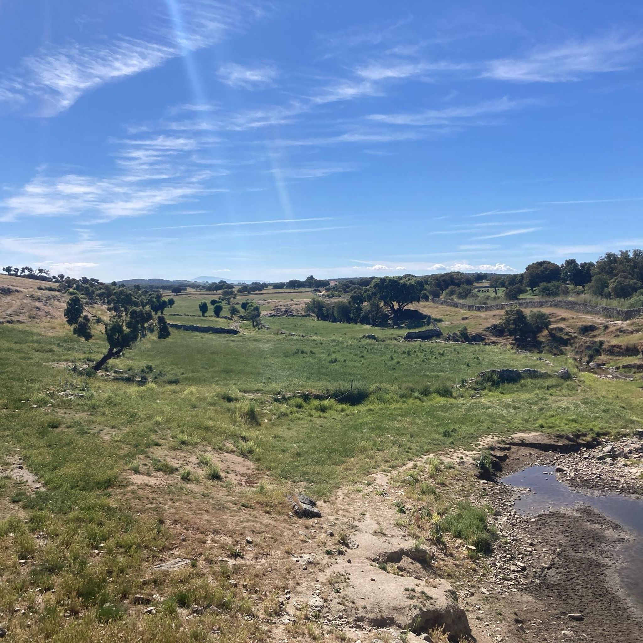
Gravel biking around Fuente De San Esteban offers routes through the plains of the "El Campo Charro" region, characterized by expansive fields and dehesa pastures where cattle graze. The terrain includes green forests and meadows, with the Huebra River flowing through the eastern part of the territory. Most routes feature gentle gradients, providing a consistent pace for exploring the landscape.
Best gravel bike trails around Fuente De San Esteban
- The most popular gravel bike trail is Roman Bridge of Salamanca…
Last updated: May 22, 2026
5.0
(1)
7
riders
107km
07:51
1,180m
1,190m
Hard gravel ride. Very good fitness required. Mostly paved surfaces. Suitable for all skill levels.
3
riders
Moderate gravel ride. Good fitness required. Mostly paved surfaces. Suitable for all skill levels.

Sign up for free
5.0
(1)
1
riders
25.1km
02:07
210m
210m
Moderate gravel ride. Good fitness required. Mostly paved surfaces. Suitable for all skill levels.
5.0
(1)
1
riders
33.2km
02:08
270m
270m
Moderate gravel ride. Good fitness required. Mostly paved surfaces. Suitable for all skill levels.
2
riders
30.4km
01:51
300m
300m
Moderate gravel ride. Good fitness required. Mostly paved surfaces. Suitable for all skill levels.
1
riders
6.67km
00:31
30m
30m
Easy gravel ride. Great for any fitness level. Mostly paved surfaces. Suitable for all skill levels.
Our route recommendations are based on thousands of hikes, rides, and runs completed by other people on komoot.
Start today with a free account
Your next adventure awaits.
Login or Signup
Popular around Fuente De San Esteban

Gravel biking around Sepulcro-Hilario

Gravel biking around Aldehuela De Yeltes
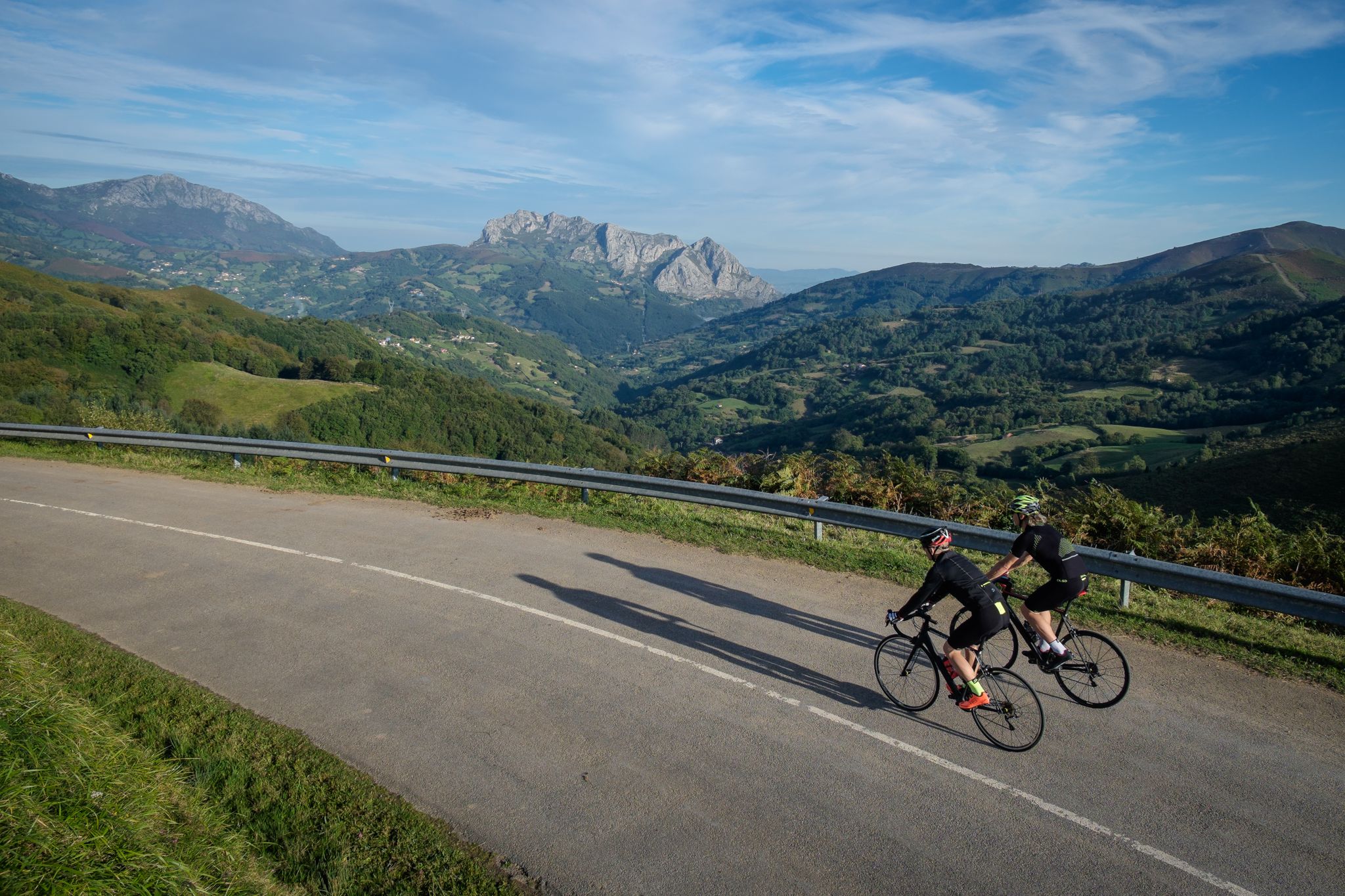
Explore Spain’s monuments and landscapes – cycle the Via de la Plata
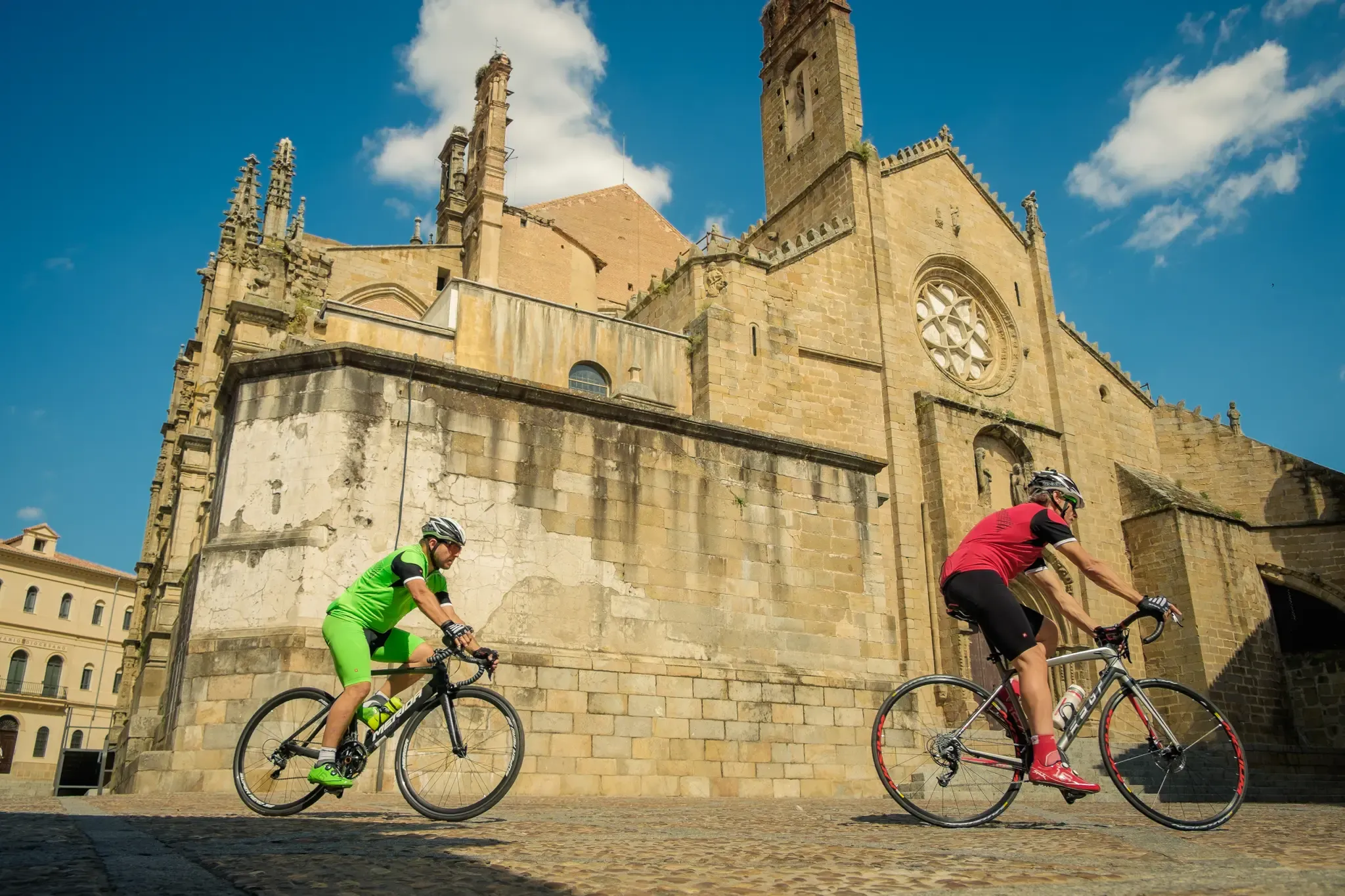
Vía de la Plata – from Seville to Gijón by bike
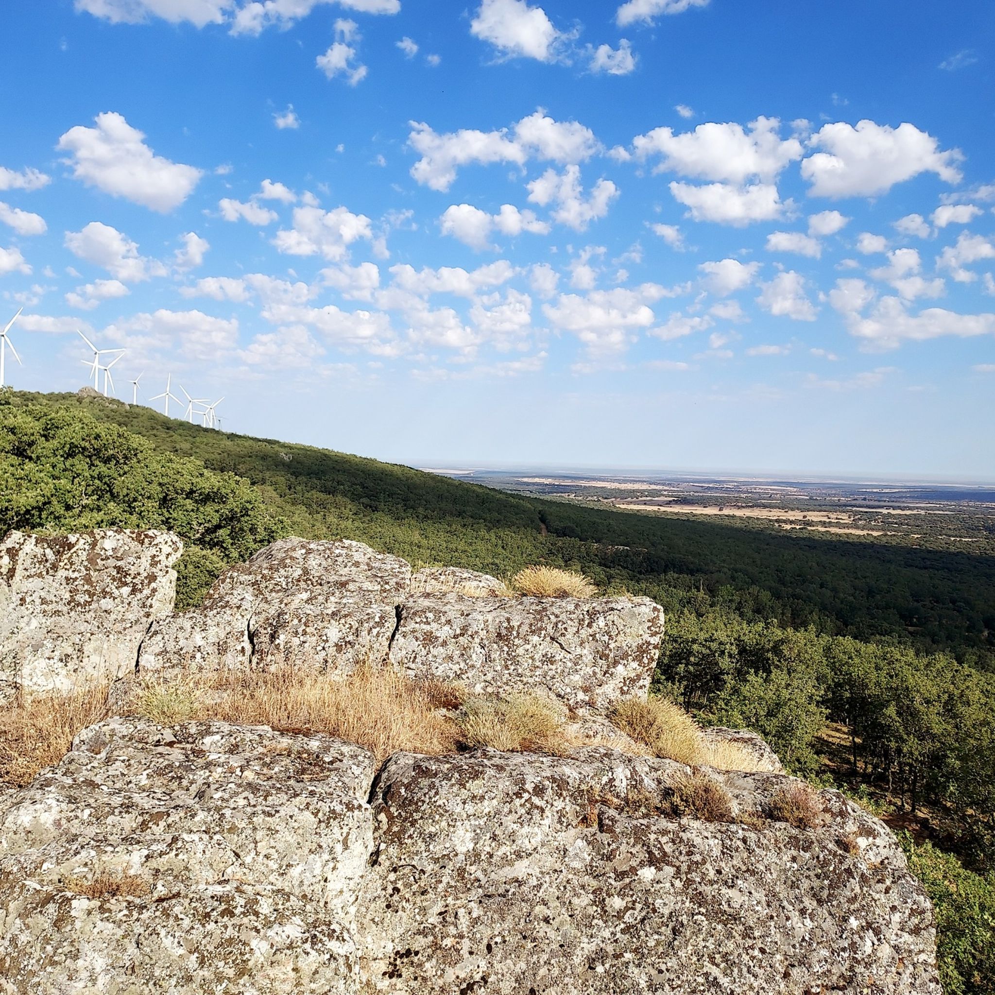
Hiking around Fuente De San Esteban
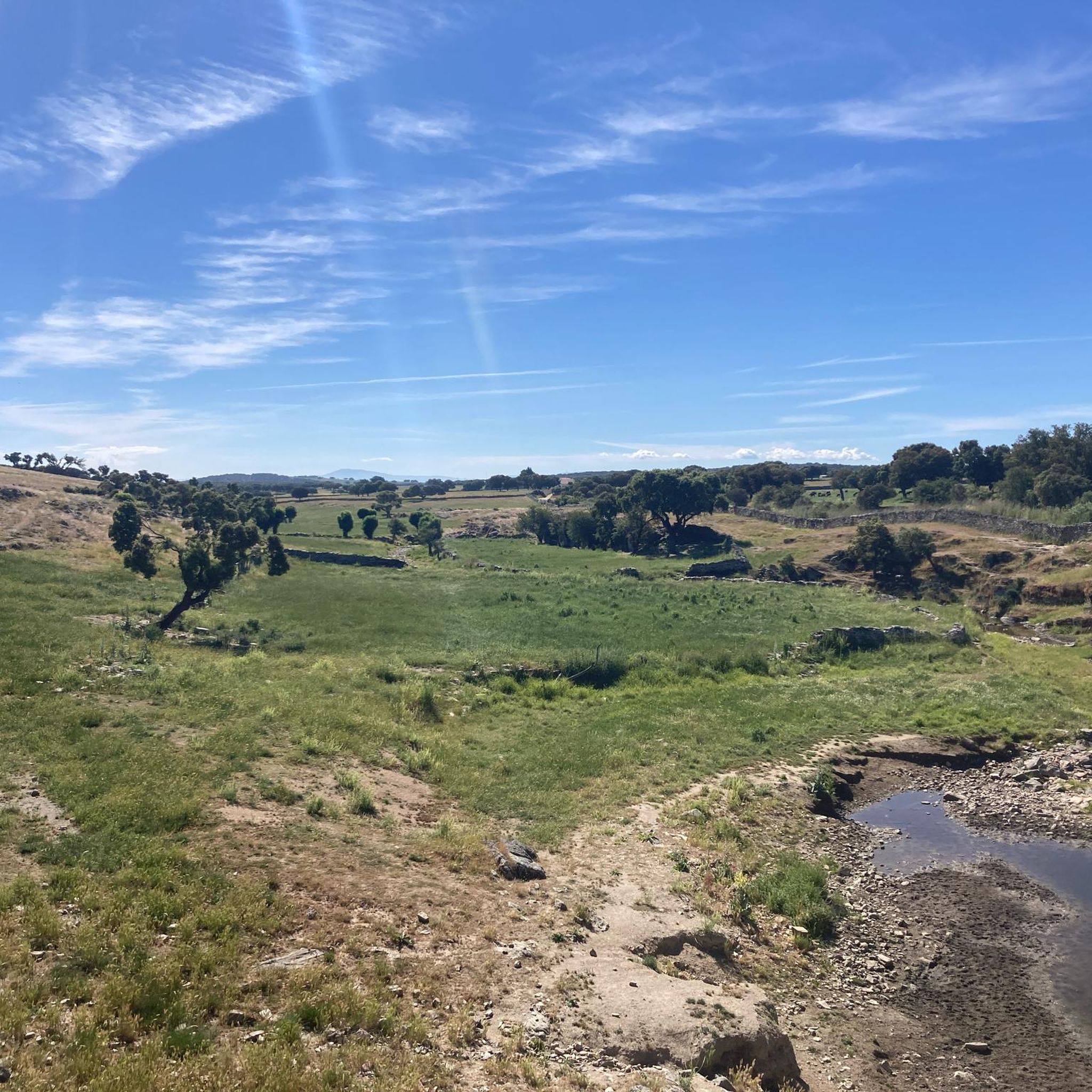
MTB Trails around Fuente De San Esteban
Cycling around Fuente De San Esteban
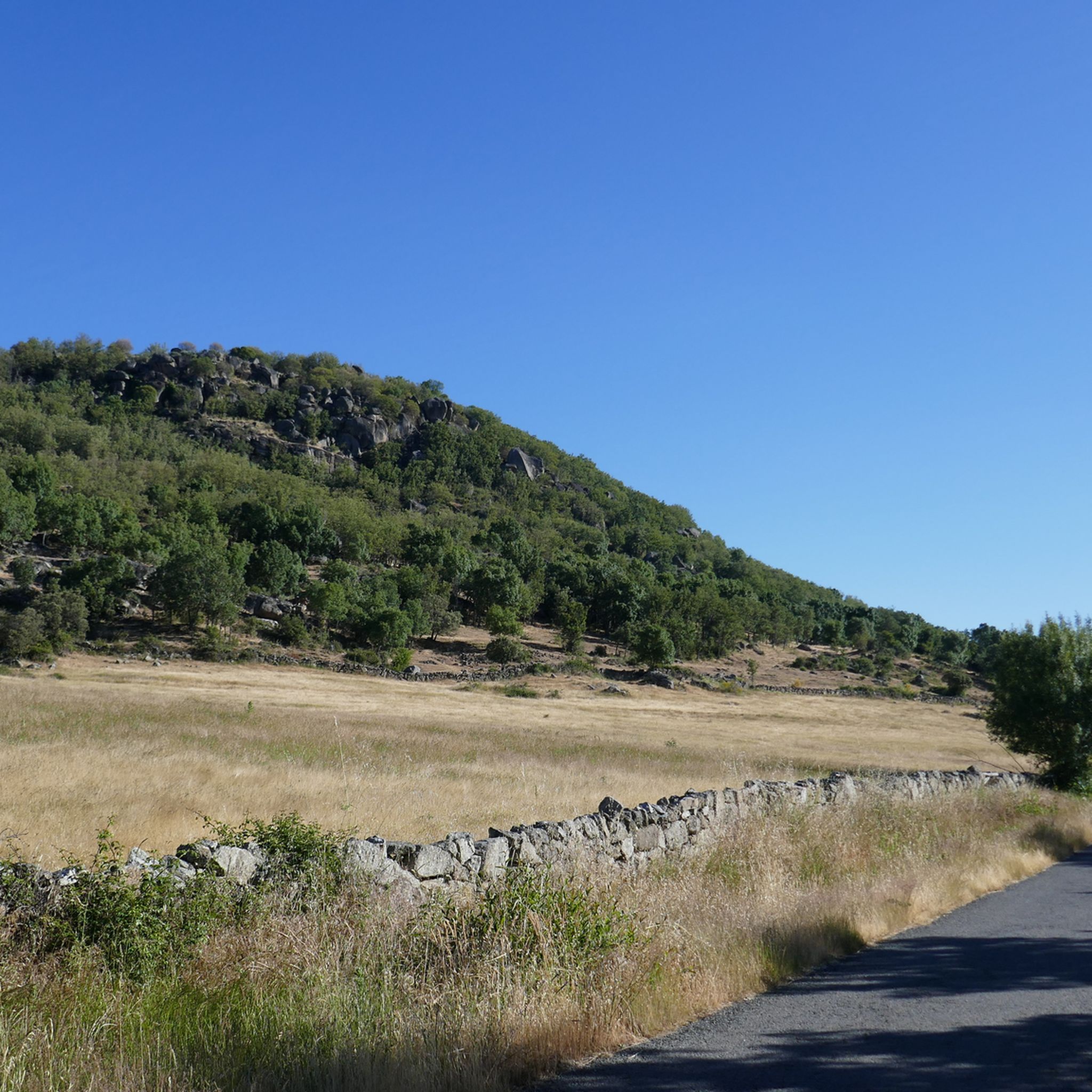
Road Cycling Routes around Fuente De San Esteban
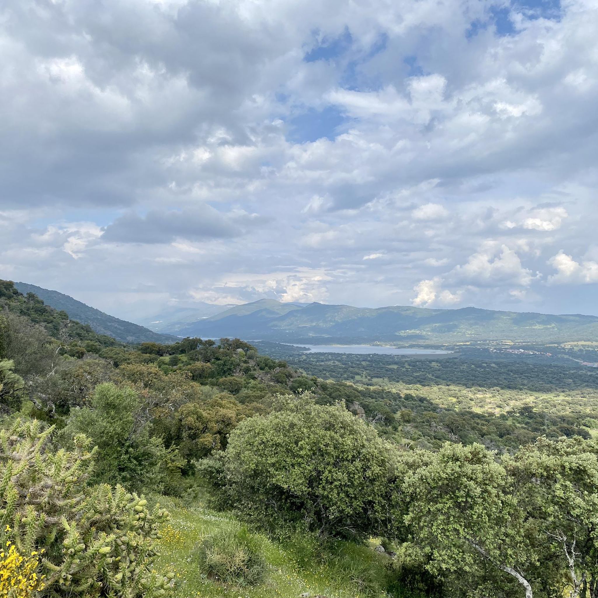
Running Trails around Fuente De San Esteban


Tips from the Community

Nothing to add to all the superlatives, magnificent!
10
0
Beautiful bridge and view
13
0

The bell tower of Salamanca Cathedral is one of the most emblematic elements of its architecture. It forms part of the New Cathedral, although it is integrated into the complex that includes the Old Cathedral. Baroque style predominates, although the base is Renaissance, reflecting the transition between the two cathedrals. Height: Approximately 92 meters, making it one of the tallest points in the city.
13
0
The history of Salamanca's Roman bridge is intertwined with that of the city itself, and it has been one of its defining features for centuries. Located in a position that facilitated human settlement and the development of economic activity, its proximity to the three hills and the Tormes River made it a strategic location. It is a solid bridge, resistant to the passage of time. For centuries it served as the main access point to the city, until a new bridge was completed over the Tormes River in 1913, allowing the passage of vehicles.
10
0
Dirt/gravel path, multi-use (hiking, mountain biking, trail running). Easy to follow, suitable for e-bikes, not a busy route.
2
0

great view back over Salamanca
3
0

The New Cathedral of Salamanca, dedicated to the Assumption of the Virgin, began construction in 1513, although construction lasted until 1733. Great architects such as Juan and Rodrigo Gil de Hontañón, Juan de Álava, and the Churriguera brothers, among others, worked there. The initial style was late Gothic, and despite the extensive work, this stylistic unity assigned by the Chapter has been maintained. On the exterior, we can see impressive facades with highly elaborate and unique decorative details, such as those on the three doors of the main façade, an interesting iconographic ensemble with reliefs of scenes from the Nativity and the Epiphany, and, above the large central ogee arch, a beautiful Calvary. The Palm Doorway depicts the sculptural group of the Entry of Jesus into Jerusalem. On this façade there are sculpted figures that do not correspond to the period, since we can see, to mention the most well-known, a monster eating ice cream or a curious astronaut (author's licenses in a 1992 restoration to justify the historical moment of its incorporation).
1
0

A must-see! Narrow steps up to the bell tower with an incredible view
2
0
Frequently Asked Questions
What kind of terrain can I expect on gravel bike trails around Fuente De San Esteban?
The region offers diverse terrain, primarily characterized by the plains of the "El Campo Charro" with expansive fields and dehesa pastures. You'll also find routes winding through green forests and meadows, with the Huebra River flowing through the eastern part of the territory. Some areas even feature unique rock formations.
How many gravel bike trails are available in the Fuente De San Esteban area?
There are 8 gravel bike trails available around Fuente De San Esteban, offering a range of difficulties to suit different riders.
Are there gravel routes suitable for beginners or families?
Yes, there are 4 easy gravel routes in the area, perfect for beginners or families looking for a relaxed ride. One such option is the Dios le Guarde loop from Dios le Guarde, which is 6.7 km long with minimal elevation gain.
What natural landmarks can I see while gravel biking in this region?
You can encounter unique natural features such as the Dehesa Pastures and Rock Formations, which are reminiscent of ancient landscapes. The routes also traverse picturesque forests and expansive fields, with the Huebra River adding to the scenic beauty.
Are there historical sites or points of interest along the gravel trails?
Yes, the region is rich in history. You might pass by sites like the Church of San Pedro de Rozados, a charming stop for pilgrims, or the ruins of Santa Cruz de Navagallega Castle, offering historical interest and scenic views. The Morille Art Cemetery also presents a unique cultural experience.
What is the best time of year for gravel biking in Fuente De San Esteban?
The region's climate generally allows for enjoyable cycling for much of the year. The routes often feature lonely roads winding between forests and fields, providing a relaxed pace to experience the landscape. Spring and autumn typically offer pleasant temperatures for exploring.
Are there any challenging gravel routes for experienced riders?
Yes, for experienced riders seeking a challenge, there is one difficult gravel route available. The Roman Bridge of Salamanca – Salamanca Cathedral loop from Pedrosillo de los Aires is a demanding 107.2 km trail with significant elevation gain, connecting historical landmarks.
Can I find circular gravel bike routes in Fuente De San Esteban?
Many of the gravel routes in the area are circular, allowing you to start and end at the same point. For example, the Church of Saint James the Apostle – Rocky Path of Doñinos loop from Peñasolana is a moderate 22.6 km circular path traversing varied rural scenery.
What do other gravel bikers enjoy most about gravel biking in Fuente De San Esteban?
The area is highly rated by the komoot community, with an average score of 5.0 stars. Reviewers often praise the diverse landscapes, including green forests, meadows, and dehesa pastures, as well as the generally gentle gradients that allow for a consistent pace and enjoyment of the scenery.
Are there any moderate gravel routes that explore the local villages?
Yes, several moderate routes allow you to explore the charming local villages. The La Sagrada – La Fresnada Cabrillas loop from Cabrillas is a moderate 33.2 km trail leading through fields and small villages, offering a great way to experience the local culture.
What kind of elevation can I expect on the gravel trails?
Most routes in Fuente De San Esteban feature gentle gradients, providing a consistent pace for exploring the landscape. While some routes, like the difficult Roman Bridge of Salamanca – Salamanca Cathedral loop from Pedrosillo de los Aires, can have over 1100 meters of elevation gain, many others are much flatter, such as the Dios le Guarde loop from Dios le Guarde with only 33 meters of ascent.
Are there any specific viewpoints or scenic spots along the gravel routes?
While specific named viewpoints are not detailed, the routes often traverse picturesque forests and expansive fields, offering continuous scenic beauty. The plains of "El Campo Charro" and areas along the Huebra River provide open vistas. The ruins of Santa Cruz de Navagallega Castle also offer historical interest and scenic views.
Most popular routes around Fuente De San Esteban
Most popular attractions around Fuente De San Esteban

Get inspired with the komoot mobile app


Didn’t find what you were looking for?
Check out more Gravel rides throughout Fuente De San Esteban below and find the perfect route in your destination.
Explore more
Browse the best Gravel rides in other regions.
