The best road cycling routes around Fuente De San Esteban
4.8
(19)
866
riders
22
rides
Road cycling routes around Fuente De San Esteban, located in the Campo Charro region of central Salamanca, Spain, offer diverse terrain for cyclists. The area is characterized by expansive meadow landscapes and green forests, providing a tranquil setting for rides. Rural roads connect small towns, allowing for exploration away from main thoroughfares. The region also features unique rock formations, adding a distinctive visual element to the routes.
Best road cycling routes around Fuente De San Esteban
- The most popular road…
Last updated: May 27, 2026
71.2km
03:02
610m
610m
Cycle a moderate 44.2-mile (71.2 km) route around Tamames and Río Huebra, exploring rural villages and historic sites in Campo Charro.
99.1km
04:11
610m
610m
Moderate road ride. Good fitness required. Some segments of this route may be unpaved and difficult to ride.

Sign up for free
23
riders
115km
05:45
1,820m
1,820m
Hard road ride. Very good fitness required. Mostly well-paved surfaces and easy to ride.
10
riders
59.1km
02:44
730m
730m
Moderate road ride. Good fitness required. Some segments of this route may be unpaved and difficult to ride.
9
riders
37.5km
01:30
200m
200m
Easy road ride. Great for any fitness level. Mostly well-paved surfaces and easy to ride.
4.0
(1)
7
riders
40.4km
01:50
480m
480m
Moderate road ride. Good fitness required. Mostly well-paved surfaces and easy to ride.
5.0
(1)
9
riders
77.3km
03:46
1,160m
1,160m
Hard road ride. Very good fitness required. Mostly well-paved surfaces and easy to ride.
6
riders
46.3km
01:59
290m
290m
Easy road ride. Great for any fitness level. Mostly well-paved surfaces and easy to ride.
5.0
(1)
5
riders
Moderate road ride. Good fitness required. Mostly well-paved surfaces and easy to ride.
4
riders
37.6km
01:49
550m
550m
Moderate road ride. Good fitness required. Some segments of this route may be unpaved and difficult to ride.
Get access to more routes and recommendations from other explorers.
Sign up for free
Already have an account?
Our route recommendations are based on thousands of hikes, rides, and runs completed by other people on komoot.
Start today with a free account
Your next adventure awaits.
Login or Signup
Popular around Fuente De San Esteban
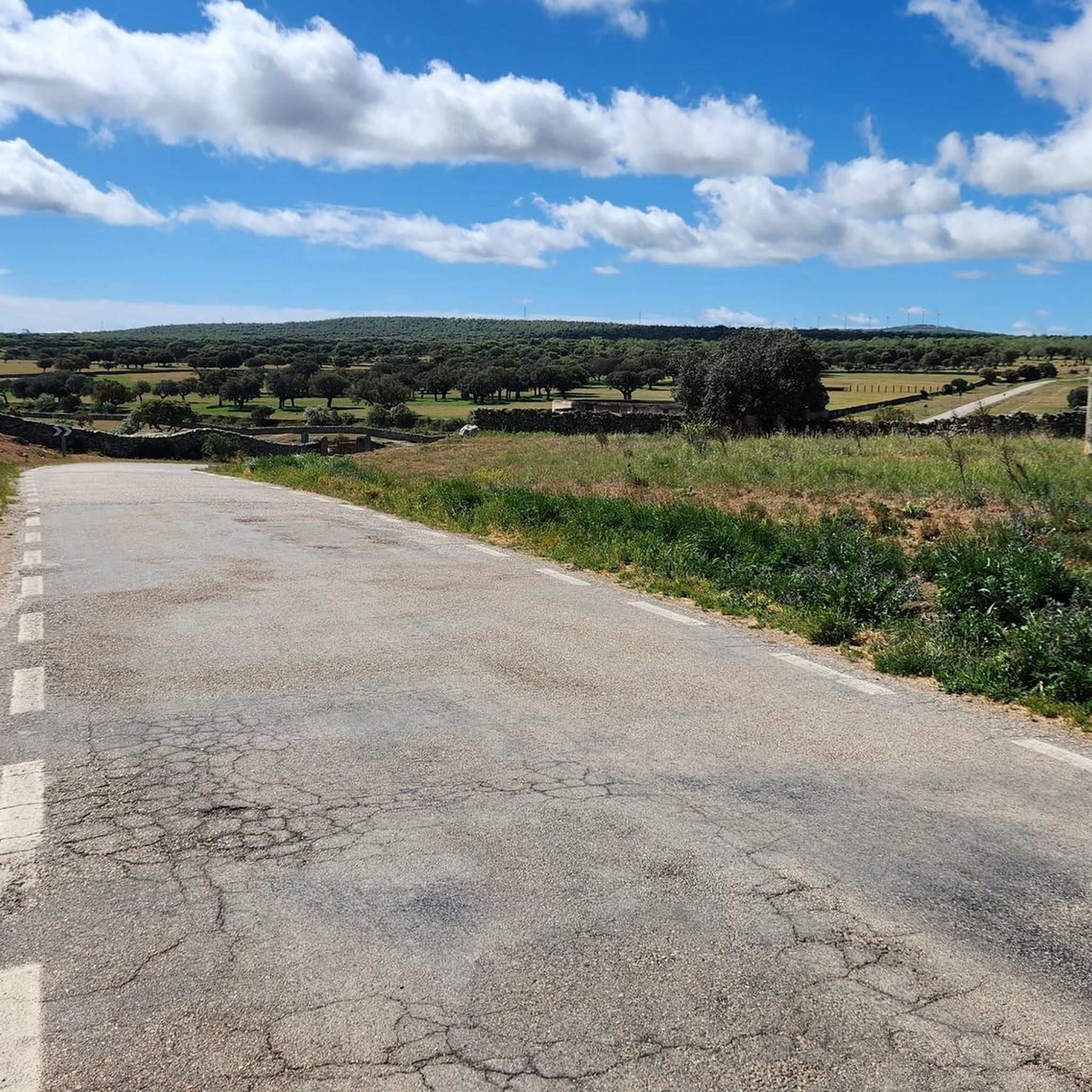
Road Cycling Routes around Morille
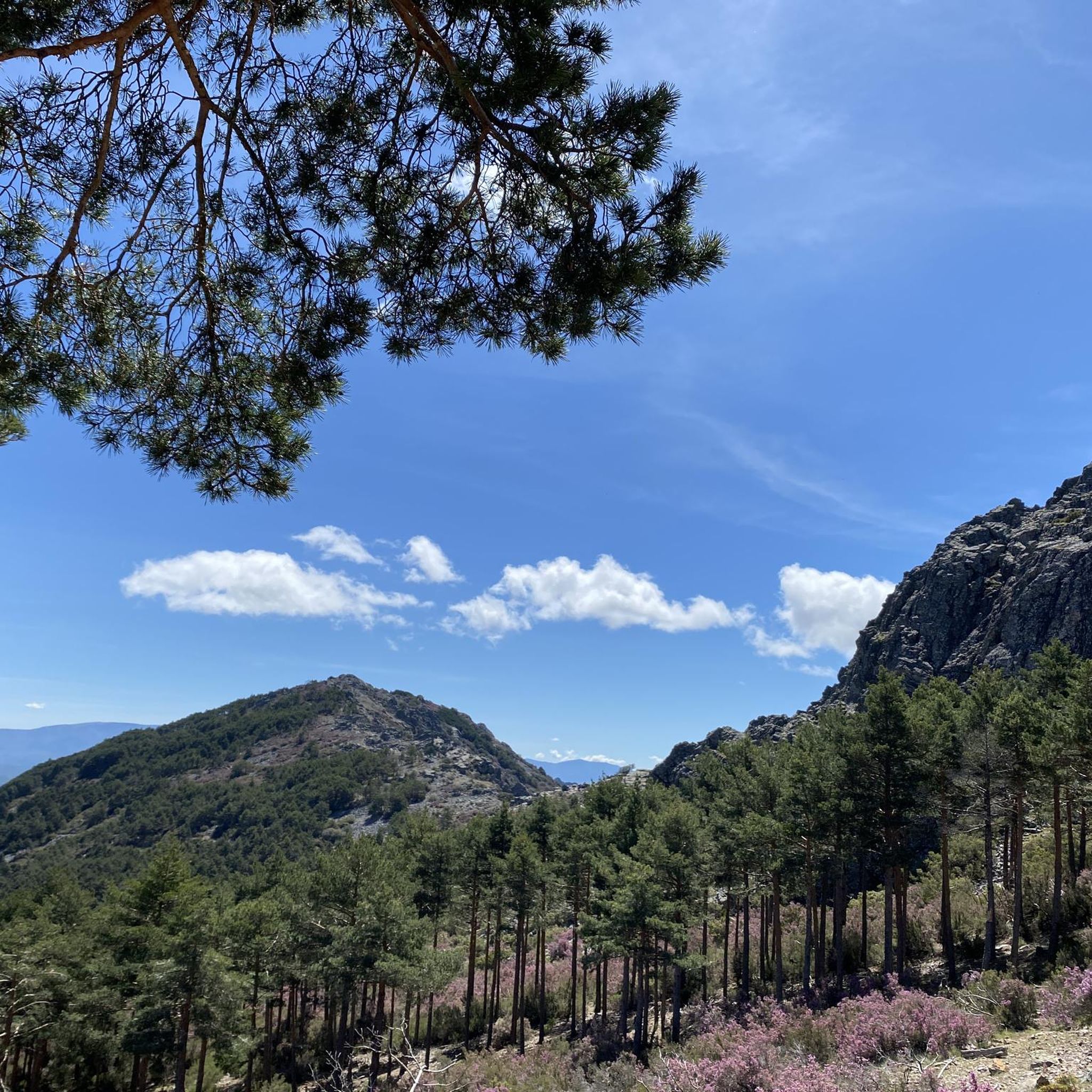
Road Cycling Routes around Aldehuela De Yeltes
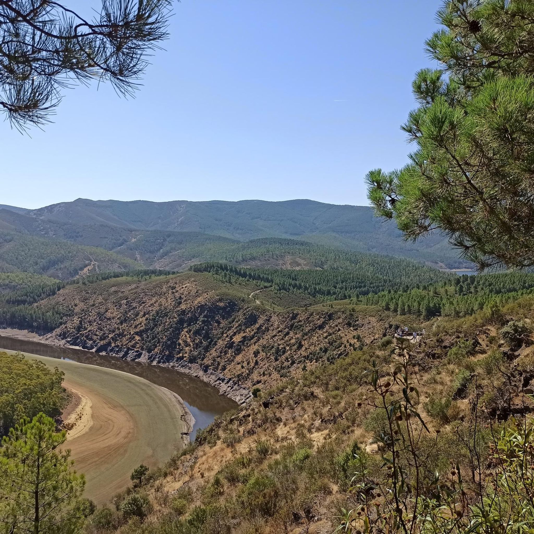
Road Cycling Routes around Puebla De Yeltes
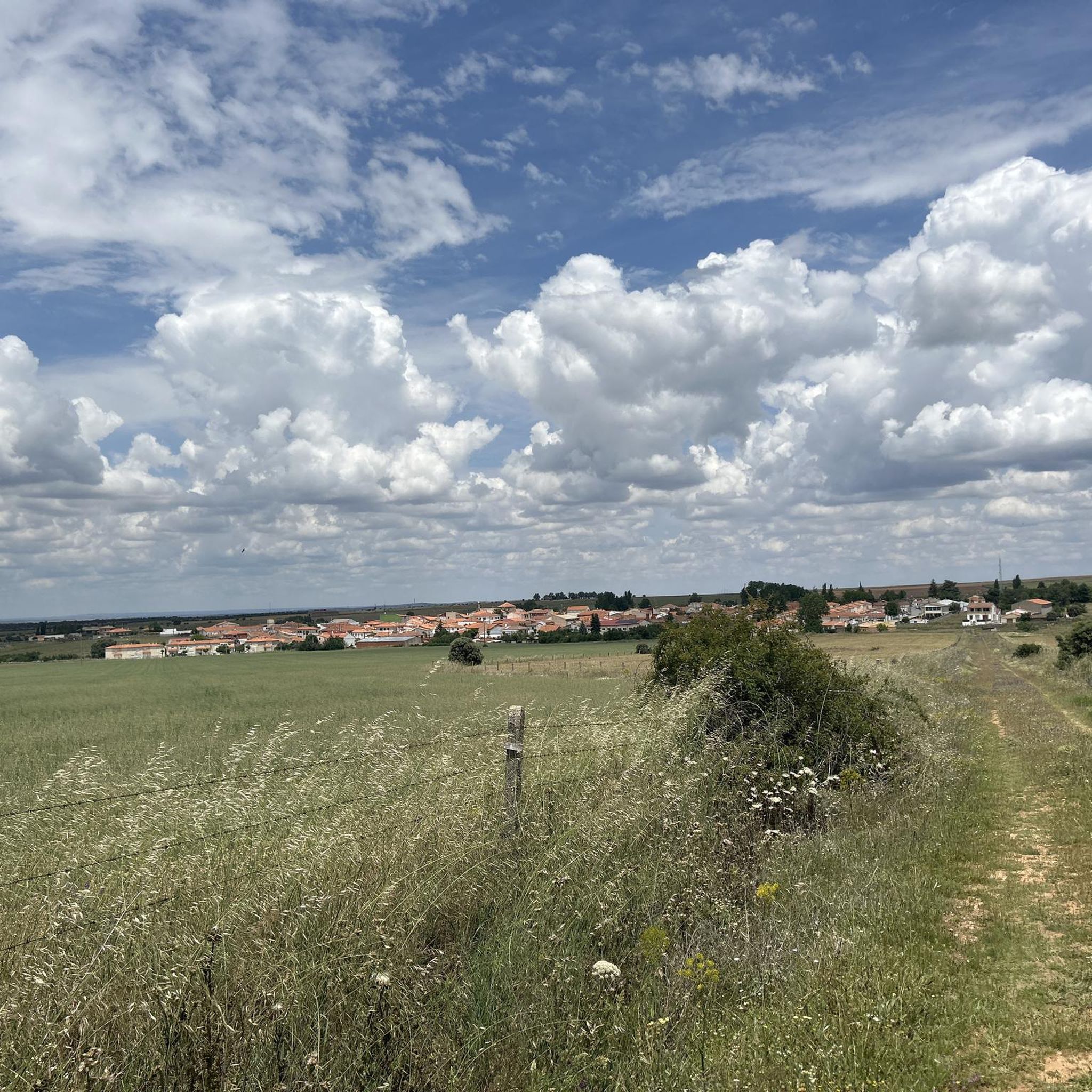
Road Cycling Routes around Matilla De Los Caños Del Río
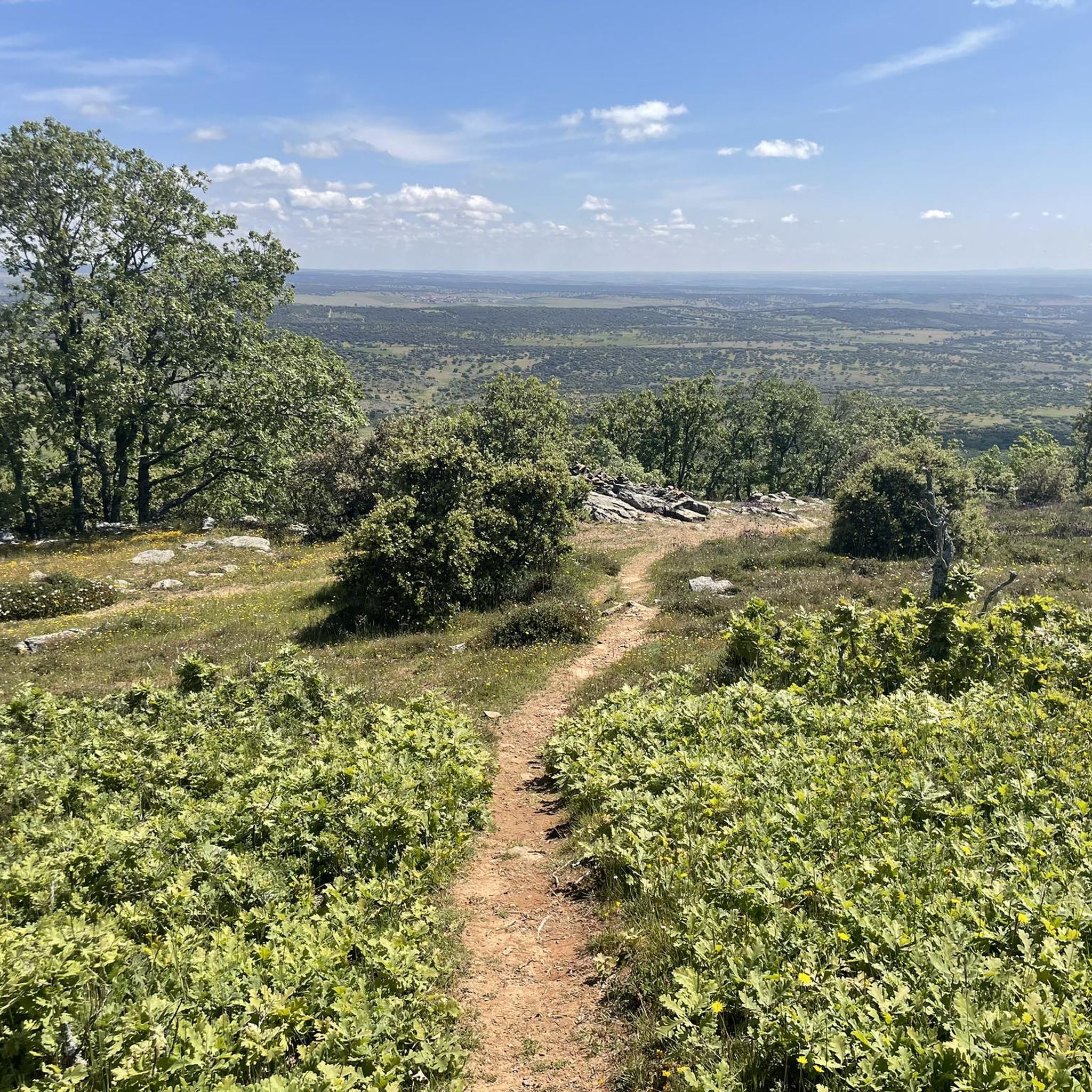
Road Cycling Routes around Narros De Matalayegua
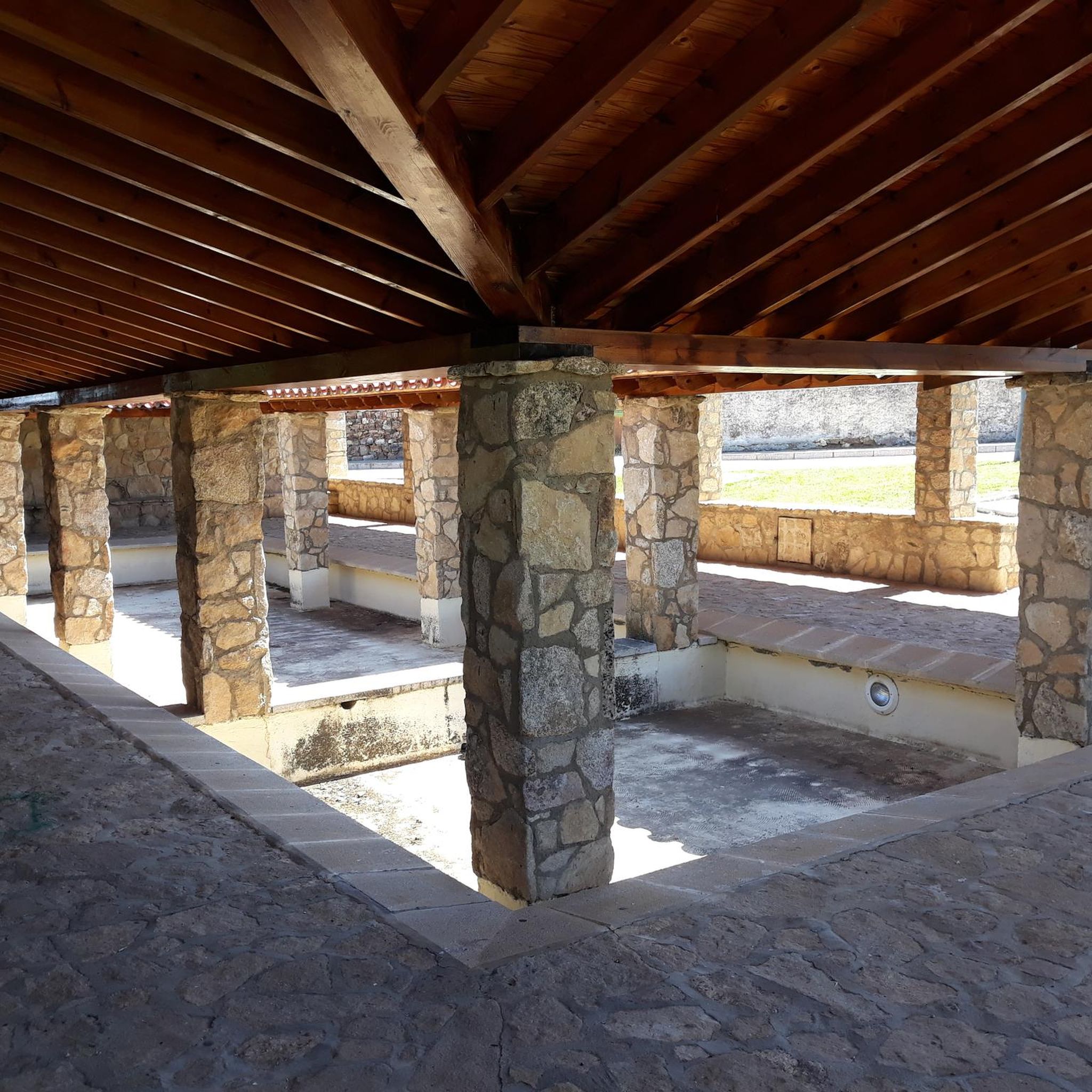
Road Cycling Routes around Tamames

Road Cycling Routes around Barbalos

Road Cycling Routes around San Muñoz
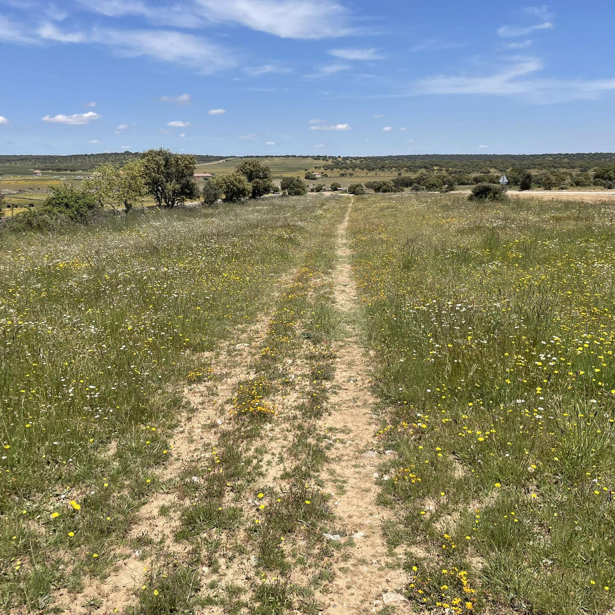
Road Cycling Routes around La Sagrada
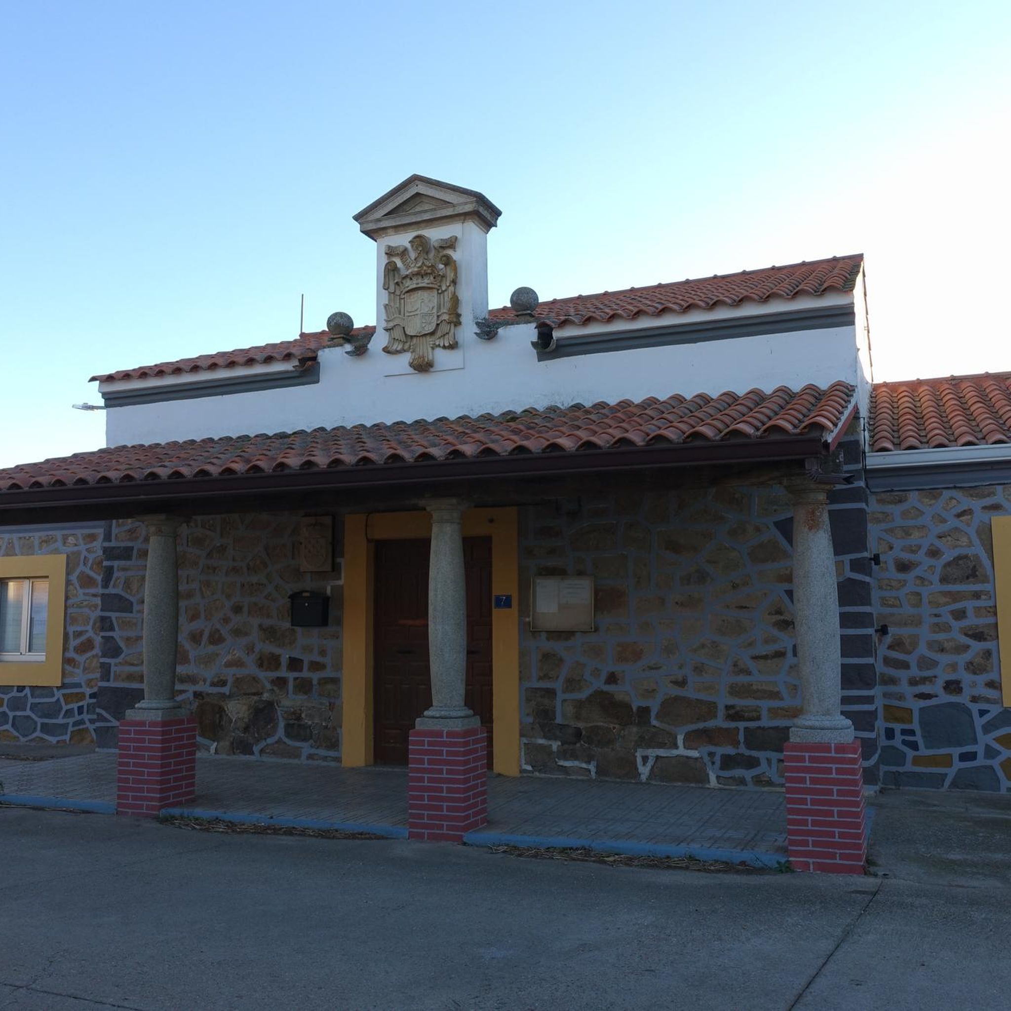
Road Cycling Routes around Berrocal De Huebra


Tips from the Community

Beautiful view here, now the last stretch to the top with 200 altitude meters to go.
0
0

What to see in Miranda del Castañar Medieval Walls: Over 600 meters remain intact, with four gates facing the cardinal directions: San Ginés, Nuestra Señora, La Villa, and El Postigo. Zúñiga Castle: A 15th-century fortress, symbol of the former County of Miranda. Although the interior is not open to the public, its exterior and keep are impressive. Square Bullring: Considered one of the oldest in Spain, built in the 16th century on the site of the former parade ground. Church of Santiago and San Ginés: Gothic in style (13th-16th centuries), with a detached 17th-century bell tower. Houses with Coats of Arms: More than 80 noble coats of arms adorn the facades, reflecting the town's aristocratic past.
8
0
Miranda del Castañar, one of the most beautiful villages in Spain, is located in the Sierra de Francia (Salamanca): Founded in 1213 by Alfonso IX of León as a town and council, it was the administrative capital of the Sierra de Francia. In the 15th century, the County of Miranda was created under the control of the Zúñiga family, consolidating its strategic importance.
9
0

This is the Wolves Pass, the end of the climb to Peña de Francia (Granite Throne) ;)
0
0


Great viewpoint of the Agadon Valley, a mandatory stop on the way up to Peña de Francia or the descent, to take more photos and read interesting facts on the information panel.
2
0

The climb up this narrow valley is a delight, especially on days when there is not much traffic. The views, the sounds of nature, the vegetation, the aromas of rockroses and other wild flowers allow us to almost forget that we are going uphill for a good part of the journey :-D
0
0
With the historic center of the town declared a historical-artistic complex, the castle of the Zúñiga or of the counts of Miranda del Castañar, is one of the best preserved in the province, Miranda de Castañar belongs to the list of towns chosen by the Association «The Most Beautiful Villages in Spain».
4
1
Frequently Asked Questions
What kind of terrain and scenery can I expect when road cycling around Fuente De San Esteban?
The region offers a diverse landscape characterized by expansive meadow landscapes and lush green forests. You'll often find yourself on tranquil, rural roads connecting small towns, providing a peaceful cycling experience. The area is also noted for unique rock formations, adding a distinctive visual element to your rides through the traditional Campo Charro region.
Are there road cycling routes suitable for beginners in Fuente De San Esteban?
Yes, there are routes suitable for beginners. Out of the 17 road cycling routes in the area, 2 are classified as easy. An example of a moderate route that could be approached by those building experience is the Campo Charro Loop from Tamames, which covers 71.2 km with moderate elevation.
What are some of the more challenging road cycling routes in the Fuente De San Esteban area?
For experienced cyclists seeking a challenge, there are 4 difficult routes available. A notable option is the Miranda de Castañar – Ascent to Puerto de Valero loop from Vecinos, which is 115.3 km long and features significant elevation gain, often taking around 5 hours 45 minutes to complete. Another difficult route is the Puerto de Valero – Miranda de Castañar loop from Tamames, covering 90.9 km with over 1600 meters of ascent.
Are there any circular road cycling routes in Fuente De San Esteban?
Yes, many of the routes in the area are circular, allowing you to start and end in the same location. For example, the popular Cubo de Don Sancho and La Sagrada — circular from Aldehuela de la Bóveda is a 99.1 km loop offering views of rural landscapes and traditional villages.
What historical sites or natural attractions can I see along the road cycling routes?
The region offers several points of interest. You can explore the ruins of Santa Cruz de Navagallega Castle, which provides beautiful views. The area also features unique Dehesa Pastures and Rock Formations. Additionally, a route includes a Climb to Frades de la Sierra, allowing you to explore small towns in the southern Castilian plateau.
Are there options for longer distance road cycling routes in the area?
Absolutely. For those looking for longer rides, routes like the Miranda de Castañar – Ascent to Puerto de Valero loop from Vecinos extends for 115.3 km. Another substantial option is the Cubo de Don Sancho and La Sagrada — circular from Aldehuela de la Bóveda, which is 99.1 km long.
What is the best time of year to go road cycling in Fuente De San Esteban?
While specific weather data isn't provided, the region's central Salamanca location suggests pleasant conditions for cycling during spring and autumn, when temperatures are milder. Summer can be warm, making early morning or late afternoon rides preferable, while winter might bring cooler temperatures.
Can I find places to stop for refreshments or explore small towns along the routes?
Yes, the rural roads around Fuente De San Esteban connect various small towns and villages. This provides opportunities to explore local culture and find places for refreshments. For instance, the Campo Charro Loop from Tamames starts and ends in Tamames, a village with historical significance, where you can find amenities.
What do other road cyclists enjoy most about road cycling in Fuente De San Esteban?
Road cyclists using komoot frequently praise the region's tranquil setting, characterized by green forests and expansive meadow landscapes. The quiet rural roads, which allow for exploration away from main thoroughfares, are also a highlight. Many appreciate the diverse terrain and the unique rock formations that add visual interest to their rides.
Are there any family-friendly road cycling routes in the area?
While dedicated 'family-friendly' road cycling routes aren't explicitly categorized, the 2 easy-rated routes in the area could be suitable for families with older children or those looking for a more relaxed pace. These routes typically feature less challenging terrain and elevation, providing a gentler introduction to road cycling in the region.
What is the typical elevation gain on road cycling routes around Fuente De San Esteban?
The elevation gain varies significantly depending on the route's difficulty. Easy routes will have minimal climbs, while moderate routes can feature several hundred meters of ascent, such as the Tamames Tower – Cilleros de la Bastida loop from Puebla de Yeltes with over 730 meters of climbing. Difficult routes, like the Miranda de Castañar – Ascent to Puerto de Valero loop from Vecinos, can involve over 1800 meters of elevation gain.
Most popular routes around Fuente De San Esteban
Most popular attractions around Fuente De San Esteban

Get inspired with the komoot mobile app


Didn’t find what you were looking for?
Check out more Road cycling routes throughout Fuente De San Esteban below and find the perfect route in your destination.
Explore more
Browse the best Road cycling routes in other regions.
