The best gravel rides around Clara-Villerach
4.9
(9)
105
riders
28
rides
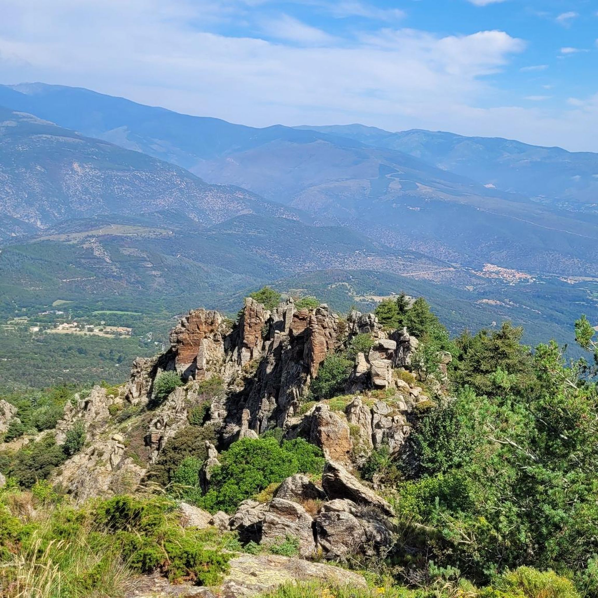
Gravel biking around Clara-Villerach offers diverse terrain within the Pyrénées-Orientales department of Southern France. The region is characterized by its mountainous landscapes, including the majestic Canigou massif, and varied elevations ranging from 380m to 1880m. A network of tracks and unpaved roads, carved by rivers like the Lliscou and the Têt, provides extensive opportunities for gravel cyclists. This area, part of the Regional Natural Park of Catalan Pyrenees, features a preserved natural environment with numerous paths suitable for this cycling…
Last updated: May 22, 2026
5.0
(3)
20
riders
55.9km
04:40
1,010m
1,010m
Hard gravel ride. Very good fitness required. Mostly paved surfaces. Suitable for all skill levels.
8
riders
Hard gravel ride. Very good fitness required. Mostly paved surfaces. Suitable for all skill levels.

Sign up for free
7
riders
69.6km
05:40
1,640m
1,640m
Hard gravel ride. Very good fitness required. Mostly paved surfaces. Suitable for all skill levels.
5.0
(2)
10
riders
37.7km
02:43
730m
730m
Hard gravel ride. Very good fitness required. Mostly paved surfaces. Suitable for all skill levels.
13
riders
67.3km
04:49
1,320m
1,320m
Hard gravel ride. Very good fitness required. Mostly paved surfaces. Suitable for all skill levels.
Get access to more routes and recommendations from other explorers.
Sign up for free
Already have an account?
Our route recommendations are based on thousands of hikes, rides, and runs completed by other people on komoot.
Start today with a free account
Your next adventure awaits.
Login or Signup
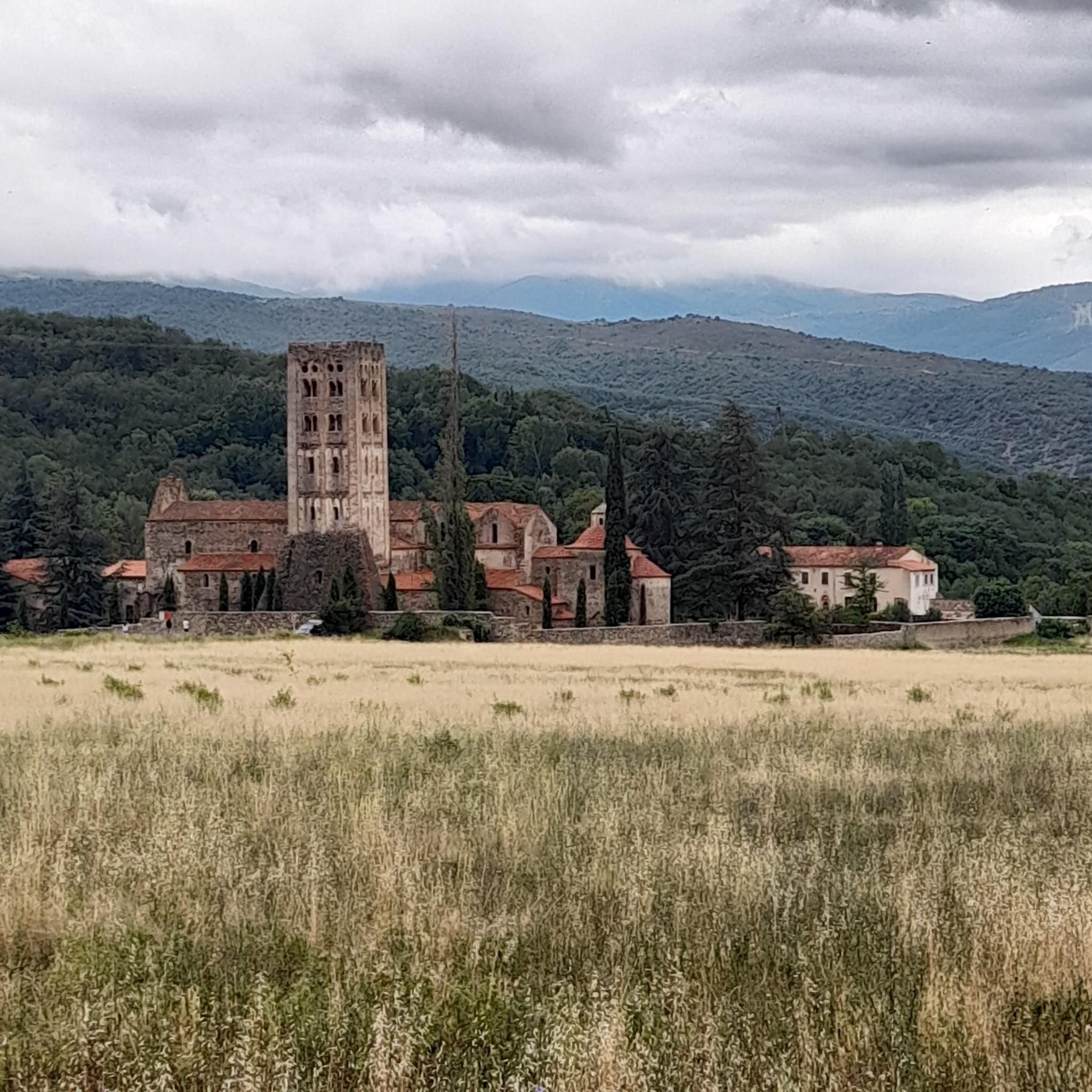
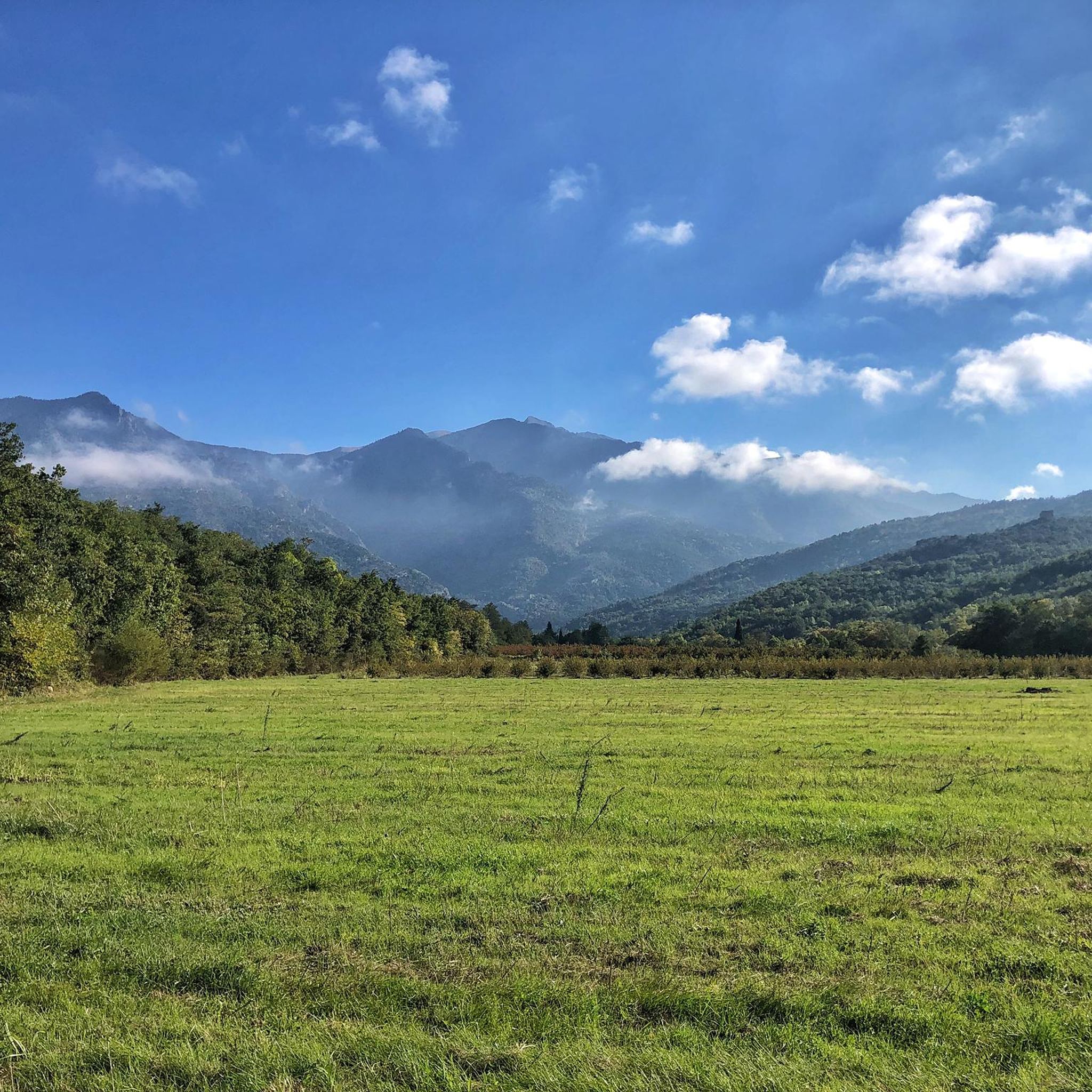
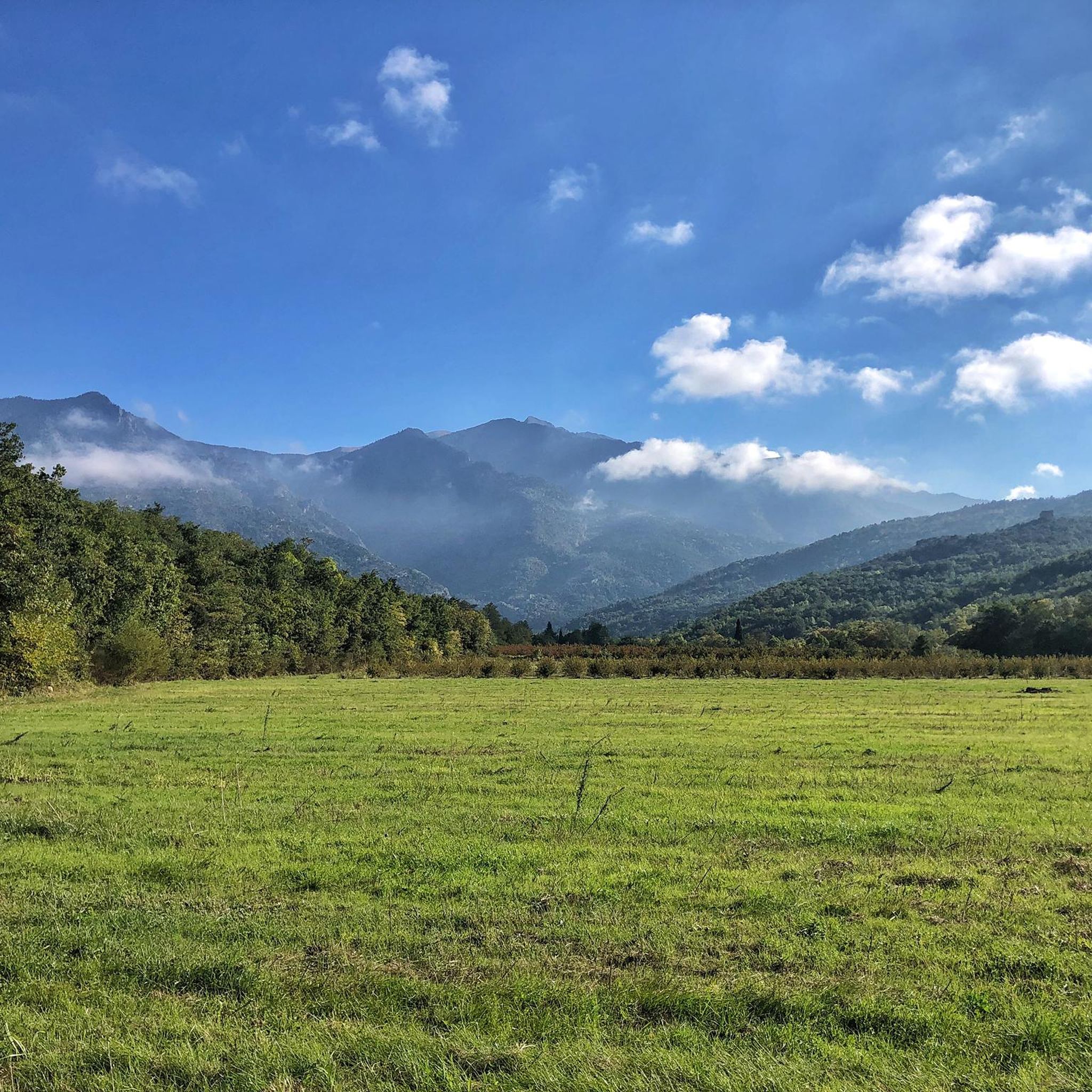
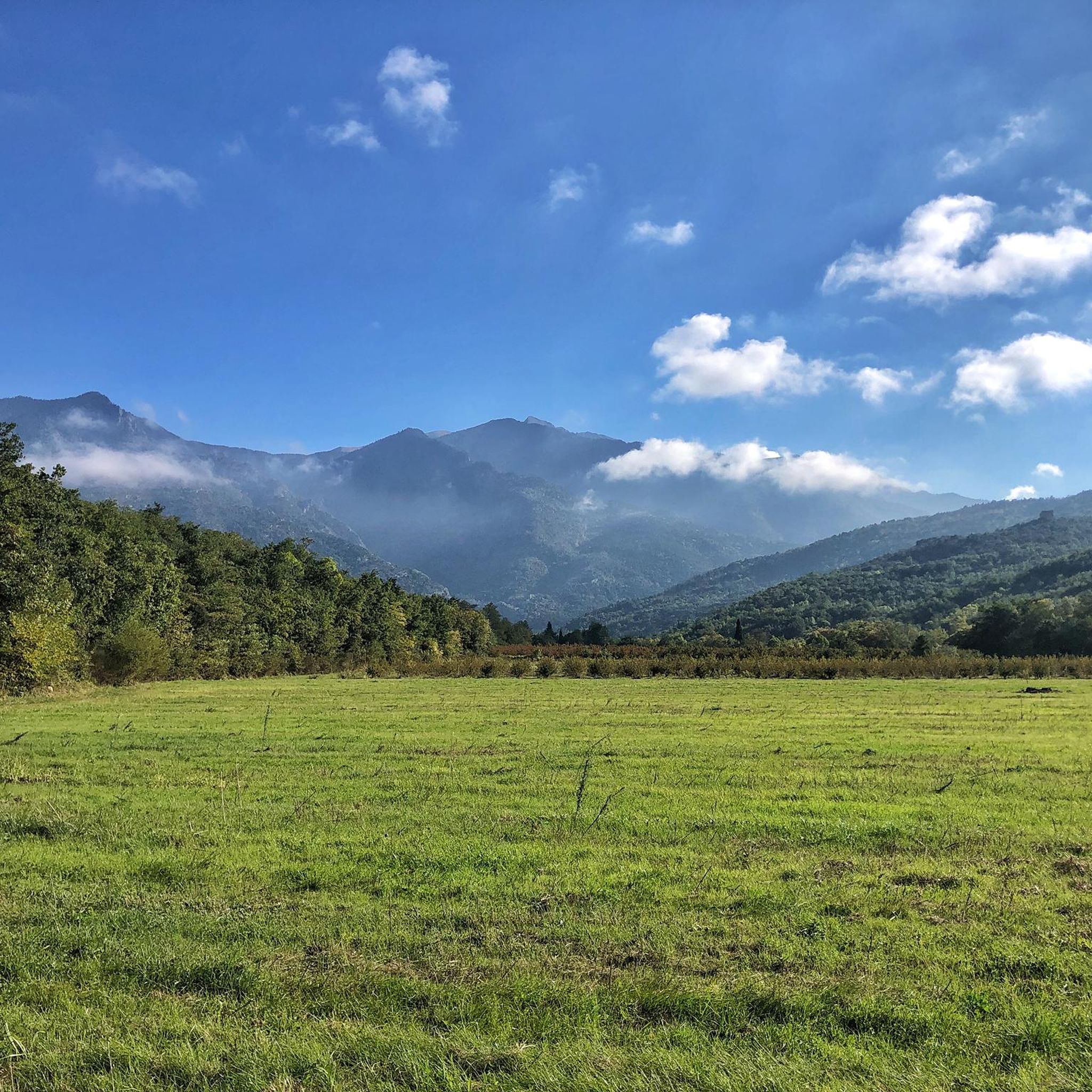
Tips from the Community

The Grand Menhir of Counozouls weighs 50 tons and is 8.9m high. It is the largest menhir in Southern France.
1
0

Basic necessities are available. However, you may need to call the owner. ;-)
0
0

This beautiful Romanesque building has a richly decorated main portal in pink marble, undoubtedly by the same sculptors as those who created the cloister of the Abbey of Saint-Michel-de-Cuixà.
2
0
This ancient trading town, the capital of Conflent, has preserved some beautiful traces of its history and its status as a defensive town. Examples include the ramparts and the Viguerie Tower, built by the Count of Cerdagne in the 11th century and subsequently reinforced by Vauban's fortifications in the 17th century.
0
0
This ancient trading town, the capital of Conflent, has preserved some beautiful traces of its history and its status as a defensive town. Examples include the ramparts and the Viguerie Tower, built by the Count of Cerdagne in the 11th century and subsequently reinforced by Vauban's fortifications in the 17th century.
0
0
It is definitely worth getting off, buying a ticket and walking a bit to really see it properly.
0
0
A unique spot in France, a landscape of fairy chimneys with a fragile, ephemeral beauty. It presents cliffs of sand and clay, patiently chiseled by the rain. Erosion has worked like an artist.
0
0
Frequently Asked Questions
How many gravel bike trails are available around Clara-Villerach?
Clara-Villerach offers a wide selection of gravel biking opportunities, with over 35 routes to explore. These trails traverse varied terrain, from the lower elevations near rivers to the mountainous slopes of the Canigou massif.
What kind of terrain can I expect on gravel bike trails in Clara-Villerach?
The terrain around Clara-Villerach is diverse, ranging from 380m to 1880m in elevation. You'll encounter numerous tracks and unpaved roads, including paths carved by rivers like the Lliscou and the Têt. Expect a mix of stony trails, gentle climbs through pine trees, and more challenging ascents in the mountainous areas of the Regional Natural Park of Catalan Pyrenees.
Are there any easy or beginner-friendly gravel bike routes in the area?
While many routes in Clara-Villerach are rated as difficult due to significant elevation changes, the region does offer paths that are more easily accessible. These often feature less strenuous climbs and are suitable for those new to gravel biking or looking for a more relaxed ride. For example, the area around the Têt river offers varied landscapes that can be less demanding.
What are some scenic viewpoints or natural features I can see while gravel biking?
Gravel biking in Clara-Villerach offers breathtaking views of the majestic Canigou massif, a symbol of Catalonia. You can also discover picturesque natural features like the Saint-Vincent Waterfall and the Cascade des Anglais. Routes often follow rivers such as the Lliscou and the Têt, providing scenic waterside stretches. Consider the Bélesta Village – View of Canigou loop from Vinça for expansive views of the massif.
Are there any circular gravel bike routes around Clara-Villerach?
Yes, many gravel bike routes in Clara-Villerach are designed as loops, allowing you to start and finish in the same location. An example is the Lake Vinça – Bridge over the Têt loop from Vinça, which offers a varied landscape near the Têt river. The 'Tour of the Sant-Estève Chapel' is also noted as a half-day loop with a gentle climb.
What historical or cultural landmarks can I visit near the gravel trails?
Clara-Villerach is rich in history. You can explore sites like the 10th-century Saint-Martin church or the 12th-century Saint-Sylvestre church in Villerach. Nearby, you'll find UNESCO World Heritage sites such as Fort Libéria and the Villefranche-de-Conflent — Fortified Village. Ancient dolmens, like the Coll de la Creu dolmen, also dot the landscape, offering glimpses into the region's past.
What is the best season for gravel biking in Clara-Villerach?
The Pyrénées-Orientales department generally enjoys a Mediterranean climate. Spring and autumn typically offer pleasant temperatures for gravel biking, avoiding the intense heat of summer and potential winter snow at higher elevations. The varied terrain means conditions can change with altitude, so checking local weather forecasts is always recommended.
Are there options for parking when accessing gravel bike trails?
While specific parking details for every trailhead are not available, Clara-Villerach is a rural municipality, and access points to trails often have local parking options. For routes starting from nearby towns like Vinça or Villefranche-de-Conflent, designated parking areas are usually available. It's advisable to check the starting point of your chosen route for specific parking information.
What do other gravel bikers say about the trails in Clara-Villerach?
The gravel biking routes in Clara-Villerach are highly regarded by the komoot community, boasting an average rating of 4.9 stars from over 10 reviews. Riders frequently praise the diverse terrain, the stunning views of the Canigou massif, and the extensive network of tracks and paths that cater to various skill levels.
Are there any challenging gravel bike routes for experienced riders?
Absolutely. Clara-Villerach is known for its challenging routes, many of which require very good physical condition due to significant elevation gains. For instance, the Villefranche-de-Conflent – Mantet Pass loop from Villefranche-de-Conflent - Vernet-les-Bains - Fuilla is a difficult 77.1 km path featuring substantial climbing through the mountainous Catalan Pyrenees.
Can I find food, drinks, or accommodation in Clara-Villerach or nearby?
Clara-Villerach is a rural municipality, but you can find local amenities. For a wider selection of cafes, restaurants, and accommodation, nearby towns like Vinça or Villefranche-de-Conflent offer more options. These towns are common starting points for many gravel biking routes and provide convenient services for visitors.
Are there any routes that offer views of the Têt river?
Yes, the Têt river plays a significant role in shaping the landscape around Clara-Villerach. Routes like the Lake Vinça – Bridge over the Têt loop from Vinça and the Mas Riquer – Bridge over the Têt loop from Ria-Sirach lead through varied landscapes near the river, offering scenic views and often following historic irrigation canals fed by its waters.
Most popular routes around Clara-Villerach
Most popular attractions around Clara-Villerach

Get inspired with the komoot mobile app


Explore more
Browse the best Gravel rides in other regions.
