The best gravel rides around Alberschweiler
4.3
(6)
104
riders
15
rides
Gravel biking around Alberschweiler offers diverse landscapes, traversing the scenic Queichtal valley, extensive vineyards, and the Palatinate Forest biosphere reserve. The region features a mix of paved and unpaved surfaces, with some segments presenting challenging terrain. Gently rising mountains frame the village, providing varied elevation profiles for gravel bike trails.
Best gravel bike trails around Alberschweiler
- The most popular gravel bike trail is Abreschviller, a pretty village – Hengst Pass and Dabo loop from Abreschviller, a 50.2 miles (81.0 km) trail that takes 6 hours 51 minutes to complete. This difficult route features significant elevation gain through varied terrain.
- Another top favourite among local gravel bikers is Center Park The Three Forests – Fairies' Rock loop from Bertrambois, a moderate 20.3 miles (32.7 km) path. This route winds through forested areas and offers scenic views.
- Local gravel bikers also love the Abreschviller, a pretty village – THE ROCK WITH THE MONKEY HEAD loop from Abreschviller, a 28.5 miles (45.9 km) trail leading through varied terrain with significant elevation, often completed in about 3 hours 58 minutes.
- Gravel biking around Alberschweiler is defined by extensive vineyards, the Palatinate Forest, and the scenic Queichtal valley. The network offers options for different ability levels, from moderate paths to more challenging routes.
- The routes in Alberschweiler are highly rated by the komoot community with an average score of 4.5 stars from more than 4 reviews. More than 90 gravel bikers have used komoot to explore Alberschweiler's varied terrain.
Last updated: May 21, 2026
13
riders
80.9km
06:51
1,770m
1,770m
Hard gravel ride. Very good fitness required. Mostly paved surfaces. Suitable for all skill levels.
5.0
(1)
11
riders
31.1km
01:55
380m
390m
Moderate gravel ride. Good fitness required. Mostly paved surfaces. Suitable for all skill levels.

Sign up for free
8
riders
45.9km
03:58
1,060m
1,060m
Hard gravel ride. Very good fitness required. Mostly paved surfaces. Suitable for all skill levels.
4.0
(1)
6
riders
43.8km
03:44
1,070m
1,070m
Hard gravel ride. Very good fitness required. Mostly paved surfaces. Suitable for all skill levels.
3
riders
43.8km
04:13
1,240m
1,240m
Hard gravel ride. Very good fitness required. Mostly paved surfaces. Suitable for all skill levels.
Get access to more routes and recommendations from other explorers.
Sign up for free
Already have an account?
Our route recommendations are based on thousands of hikes, rides, and runs completed by other people on komoot.
Start today with a free account
Your next adventure awaits.
Login or Signup
Popular around Alberschweiler

GR 5 – The Europe Trail from the Mediterranean to Germany
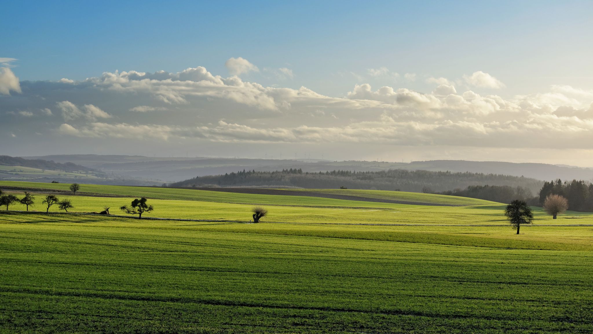
GR5 — The Europe Trail from Abreschviller to Apach
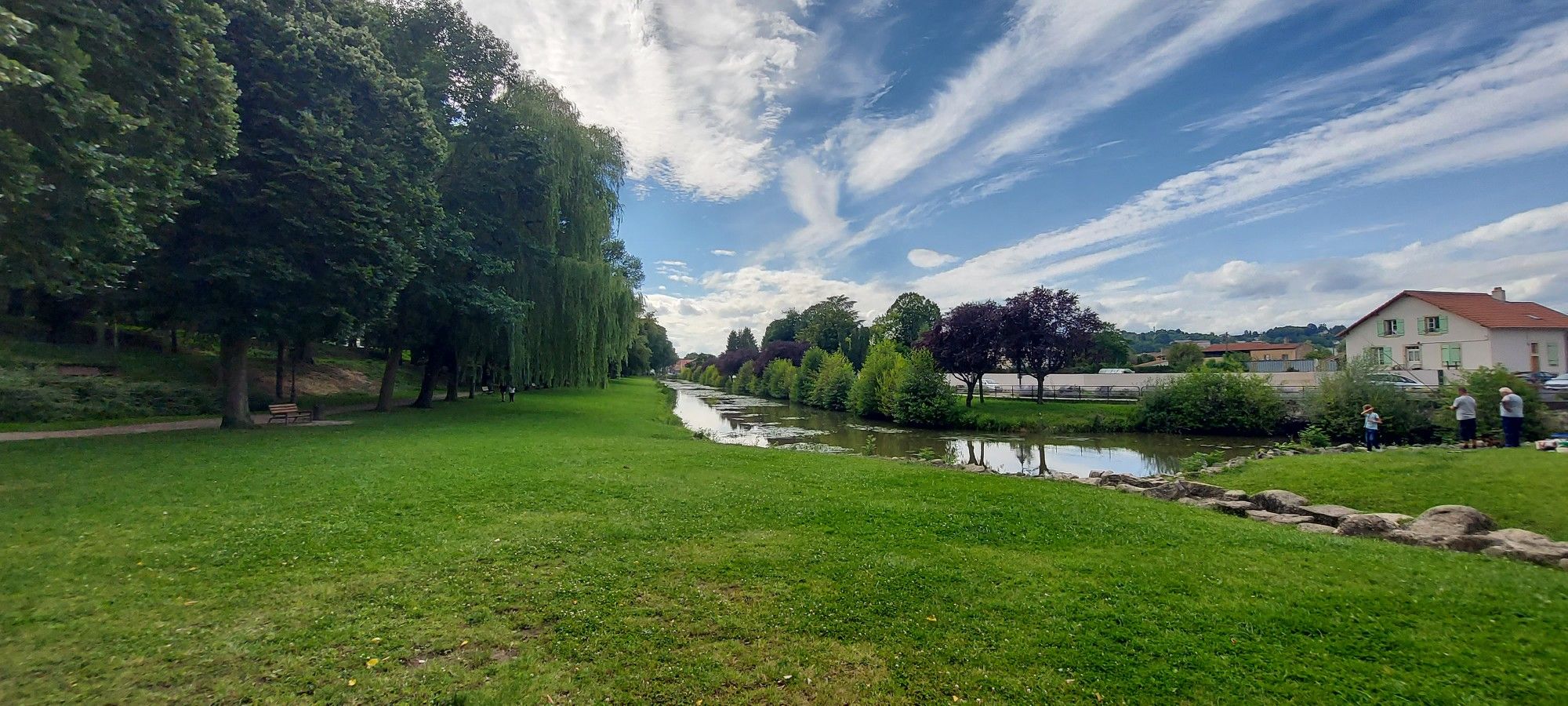
Linking Lorraine and Alsace – Stanislas-Kléber Path (GR 534)
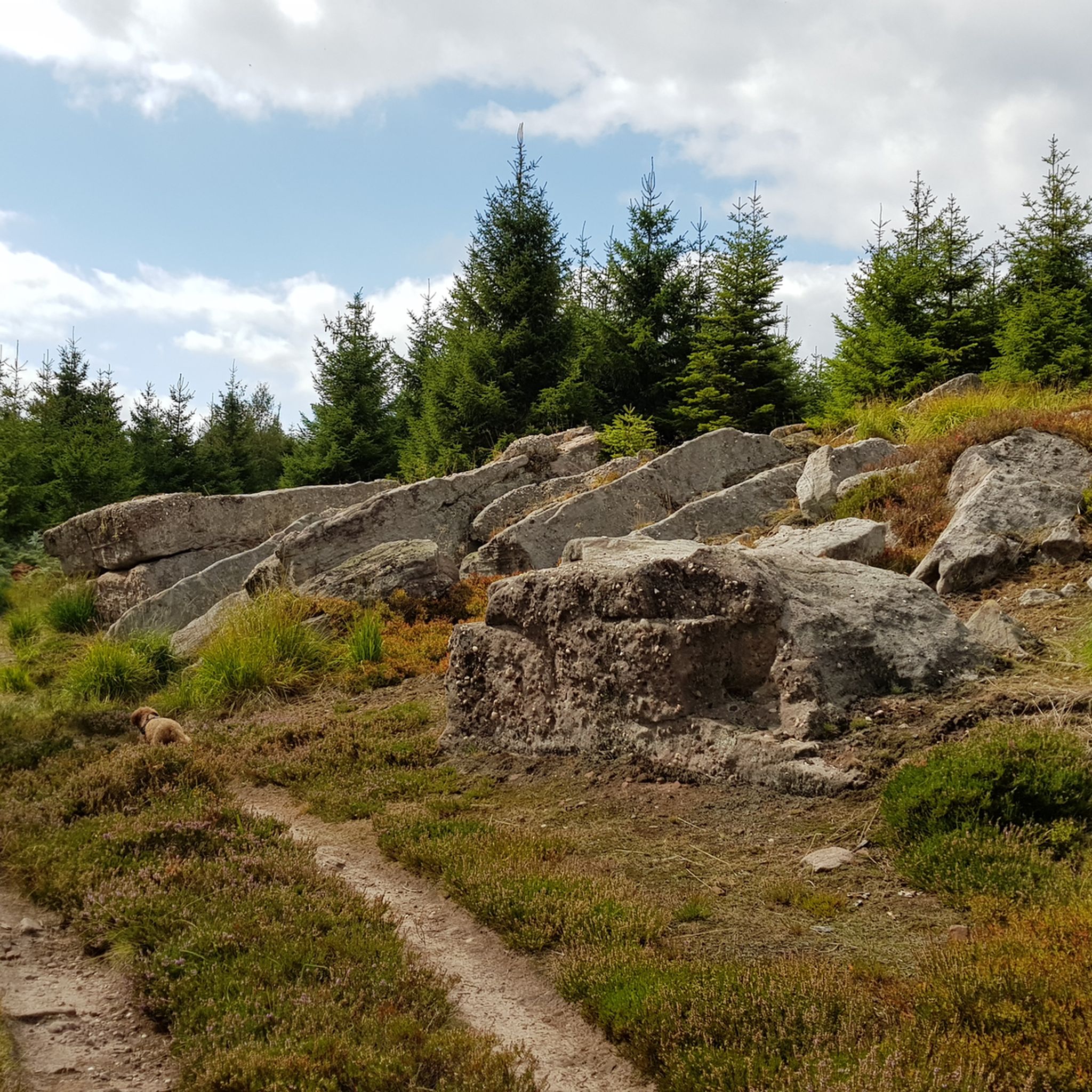
Hiking around Alberschweiler
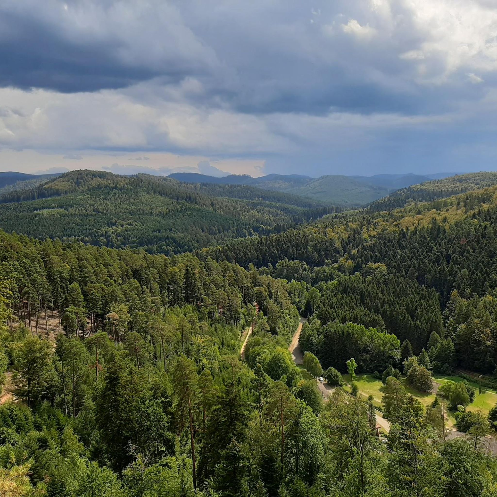
Cycling around Alberschweiler
Road Cycling Routes around Alberschweiler
MTB Trails around Alberschweiler
Running Trails around Alberschweiler
Other adventures around Alberschweiler


Tips from the Community

Champ du Feu, at 1099 meters, is the highest mountain in the Bas-Rhin department of the Vosges in Alsace. It lies between the towns of Belmont and Le Hohwald and consists of an extensive high plateau with forests, meadows, and moorlands. The area is a popular nature and recreational area. In summer, it is mainly used for hiking, mountain biking, and nature observation. In winter, there is a small ski area with cross-country trails and simple slopes for winter sports. The brook La Serva originates from Champ du Feu, later forming the Cascade de la Serva. In clear weather, the summit offers wide views over the Vosges, the Rhine plain, and as far as the Black Forest. The area is particularly known for its tranquil nature, high moors, sunrises and starry skies, as well as well-marked hiking trails.
0
0

Especially in the southeast of the park you can enjoy cycling.
0
0

Shelter of the Vosges Club Pays de Dabo from 2018
1
0
Secret meeting place of François Mitterrand and Helmut Kohl in 1984
0
0

The kitchen had already closed at 3 p.m. on Sunday afternoon, so there were no hot or cold food left. Only cake and ice cream, but that was good. 💲💲Cash only. 💲💲
0
0

Very nice route along the steam railway 👍
0
0

Very nice view with technical access
0
0
well-signposted two valleys circuit, fairly easy, only one climb over 34 km, clean surroundings, can be combined with other adjoining circuits
0
0
Frequently Asked Questions
How many gravel bike trails are available around Albersweiler?
There are over 15 gravel bike trails in the Albersweiler region, offering diverse landscapes for exploration. These routes are highly rated by the komoot community, with an average score of 4.7 stars.
What kind of terrain can I expect on gravel bike trails near Albersweiler?
The trails around Albersweiler offer a varied landscape, traversing the scenic Queichtal valley, extensive vineyards, and the Palatinate Forest biosphere reserve. You'll encounter a mix of paved and unpaved surfaces, with some segments presenting more challenging terrain and varied elevation profiles suitable for experienced riders.
Are there gravel bike trails suitable for beginners or more advanced riders?
Yes, the Albersweiler region caters to various skill levels. While most routes are considered difficult, there are also several moderate options available. For example, the Center Park The Three Forests – Fairy Rock loop from Bertrambois is a moderate 19.6-mile path winding through forested areas.
What are some notable natural features or landmarks I might see on a gravel bike ride?
The region is rich in natural beauty and historical sites. You can explore the extensive vineyards and chestnut forests, particularly picturesque in spring. The Palatinate Forest biosphere reserve offers diverse landscapes. Highlights include the Stone Gate, the Schneeberg Summit, and the Le Petit Donon. The Felsenmeer Hüttenberg (Kalmit Rock Sea) is also a significant natural monument.
Are there any historical castles or ruins accessible by gravel bike?
Absolutely. The area around Albersweiler is dotted with historical castles and ruins. You might encounter the Ruins of Nideck Castle, Wangenbourg Castle, or the Ringelsbourg Castle. Trifels Castle, overlooking Annweiler, is also a prominent landmark nearby.
What is the best time of year for gravel biking in Albersweiler?
The region is beautiful year-round, but spring, when almond trees bloom in the vineyards, and autumn, with its vibrant chestnut forests, are particularly scenic. The Palatinate Forest offers a pleasant environment for riding in warmer months, while winter conditions might require checking trail accessibility.
Are there any circular gravel bike routes available?
Yes, many of the gravel bike routes in Albersweiler are designed as loops. For instance, the Abreschviller, a pretty village – Col de la Côte de l'Engin loop from Abreschviller is a 31.4-mile circular trail that takes you through vineyards and the Palatinate Forest.
Can I find places to eat or drink along the gravel bike trails?
Yes, the region offers several charming spots. The Rietburg castle ruins include a mountain restaurant, perfect for a stop. The St. Martin Historic Village is known for its wine bars and cafés. Additionally, the Landauer Hütte am Zimmerbrunnen (PWV) is a very nice hut with a large beer garden, located in a historic setting.
What do other gravel bikers enjoy most about the trails in Albersweiler?
The komoot community highly rates the gravel biking experience in Albersweiler, with an average score of 4.7 stars from 9 reviews. Riders often praise the diverse landscapes, the mix of challenging forest paths and scenic vineyard trails, and the overall natural beauty of the Palatinate Forest and Queichtal valley.
Are there any longer, more challenging gravel bike routes for experienced riders?
For experienced riders seeking a challenge, there are several difficult routes with significant elevation gain. The Abreschviller, a pretty village – Hengst Pass and Dabo loop from Abreschviller is a demanding 50.3-mile trail with over 5,700 feet of elevation gain, typically taking over 8 hours to complete.
Is it possible to access gravel bike trails using public transport in Albersweiler?
Albersweiler is situated in the romantic Queichtal valley, providing access to well-developed bike and hiking trails. While specific public transport connections directly to trailheads vary, the village itself is a starting point, and local services may connect to nearby towns. It's advisable to check local public transport schedules for the most current information.
Where can I find parking for gravel biking trails in Albersweiler?
Albersweiler serves as a convenient starting point for many routes. Parking options are generally available within the village or at designated trailheads leading into the vineyards and the Palatinate Forest. Specific parking details can often be found on individual route descriptions or local tourism information.
Most popular routes around Alberschweiler
Most popular attractions around Alberschweiler

Get inspired with the komoot mobile app


Explore more
Browse the best Gravel rides in other regions.
