The best road cycling routes around Alberschweiler
4.6
(136)
2,802
riders
25
rides
Road cycling routes around Alberschweiler are situated in Germany's Southern Wine Route and the Palatinate Forest biosphere reserve. The region features varied terrain, from rolling vineyards to dense chestnut forests, providing diverse landscapes for cyclists. Road cycling in Alberschweiler offers routes through valleys, past historic villages, and along paved surfaces, with views of the Queichtal valley and surrounding natural features.
Best road cycling routes around Alberschweiler
- The most popular road cycling route is THE ROCK OF THE COWS – Abreschviller, a pretty village loop from Grand Soldat, a 31.9 miles (51.3 km) trail that takes 2 hours 14 minutes to complete. This moderate route offers scenic views through a pretty village setting.
- Another top favourite among local road cyclists is Col du Donon – Chapelotte Pass loop from Abreschviller, a difficult 51.4 miles (82.8 km) path. This route features significant elevation gain, traversing challenging passes and forest roads.
- Local road cyclists also love the Abreschviller, a pretty village – Donon Pass loop from Abreschviller, a 34.5 miles (55.5 km) trail leading through varied terrain with notable climbs, often completed in about 2 hours 46 minutes.
- Road cycling around Alberschweiler is defined by vineyards, dense forests, and rolling hills. The network offers options for different ability levels, from moderate rides through valleys to more challenging routes with significant elevation gains.
- The routes in Alberschweiler are highly rated by the komoot community with an average score of 4.7 stars from over 14 reviews. More than 400 road cyclists have used komoot to explore Alberschweiler's varied terrain.
Last updated: May 25, 2026
5.0
(6)
79
riders
82.9km
03:52
1,060m
1,060m
Hard road ride. Very good fitness required. Mostly well-paved surfaces and easy to ride.
3.7
(3)
62
riders
Moderate road ride. Good fitness required. Some segments of this route may be unpaved and difficult to ride.

Sign up for free
4.8
(4)
50
riders
55.6km
02:46
860m
860m
Moderate road ride. Good fitness required. Mostly well-paved surfaces and easy to ride.
5.0
(1)
40
riders
108km
05:38
1,970m
1,970m
Hard road ride. Very good fitness required. Mostly well-paved surfaces and easy to ride.
42
riders
105km
05:33
1,970m
1,970m
Hard road ride. Very good fitness required. Mostly well-paved surfaces and easy to ride.
Get access to more routes and recommendations from other explorers.
Sign up for free
Already have an account?
Our route recommendations are based on thousands of hikes, rides, and runs completed by other people on komoot.
Start today with a free account
Your next adventure awaits.
Login or Signup
Popular around Alberschweiler

GR 5 – The Europe Trail from the Mediterranean to Germany
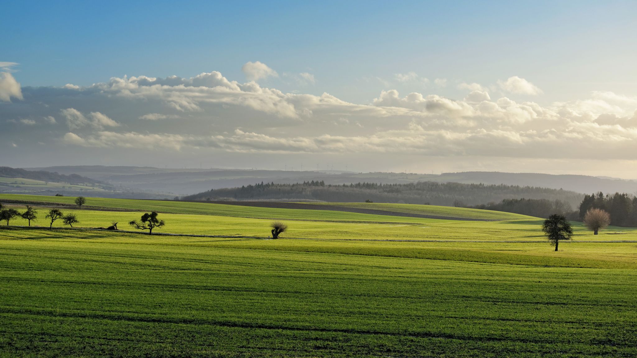
GR5 — The Europe Trail from Abreschviller to Apach
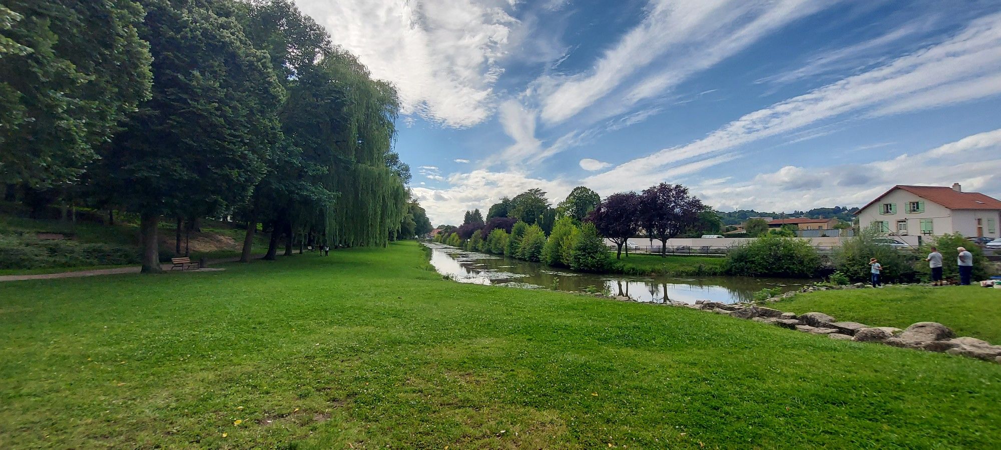
Linking Lorraine and Alsace – Stanislas-Kléber Path (GR 534)
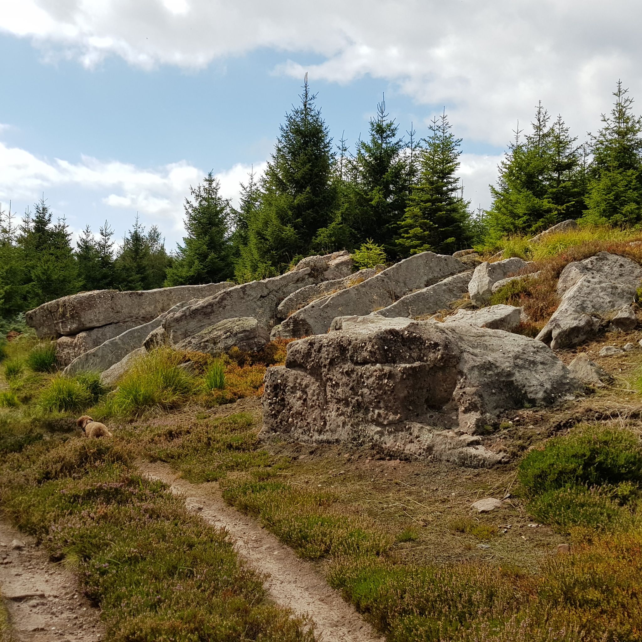
Hiking around Alberschweiler
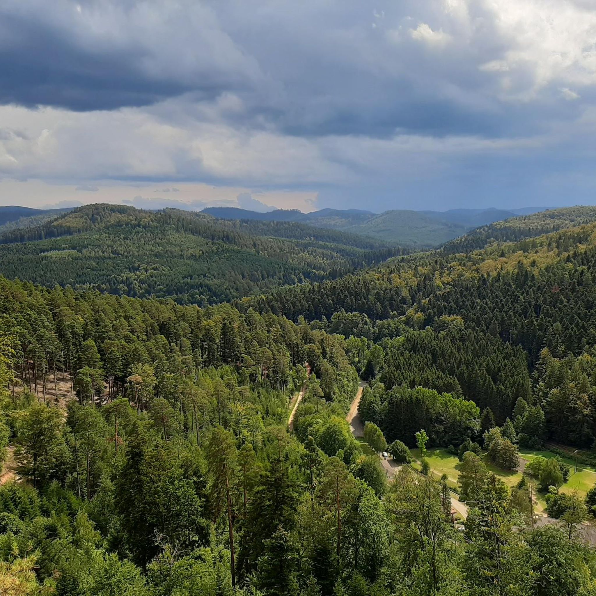
Cycling around Alberschweiler
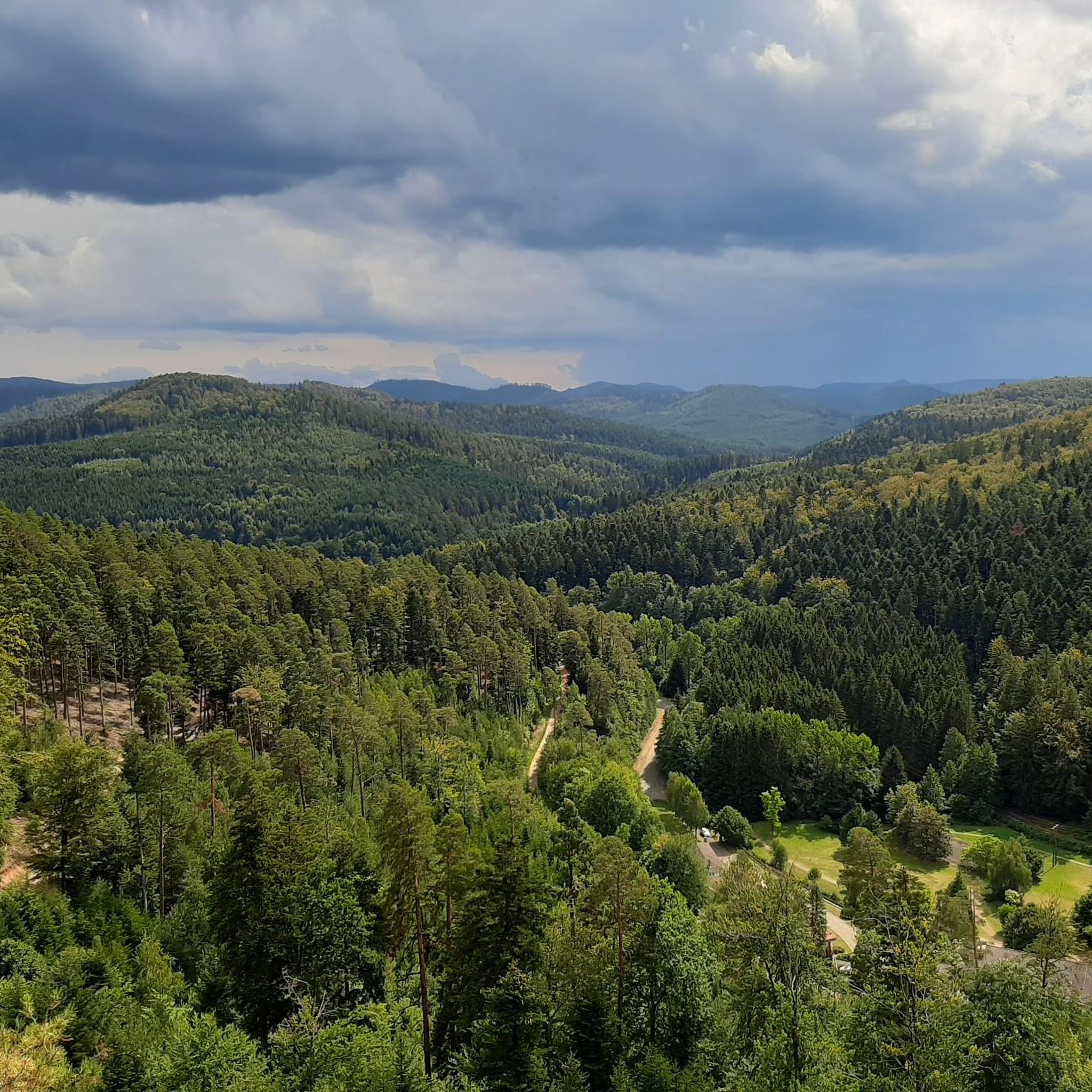
MTB Trails around Alberschweiler
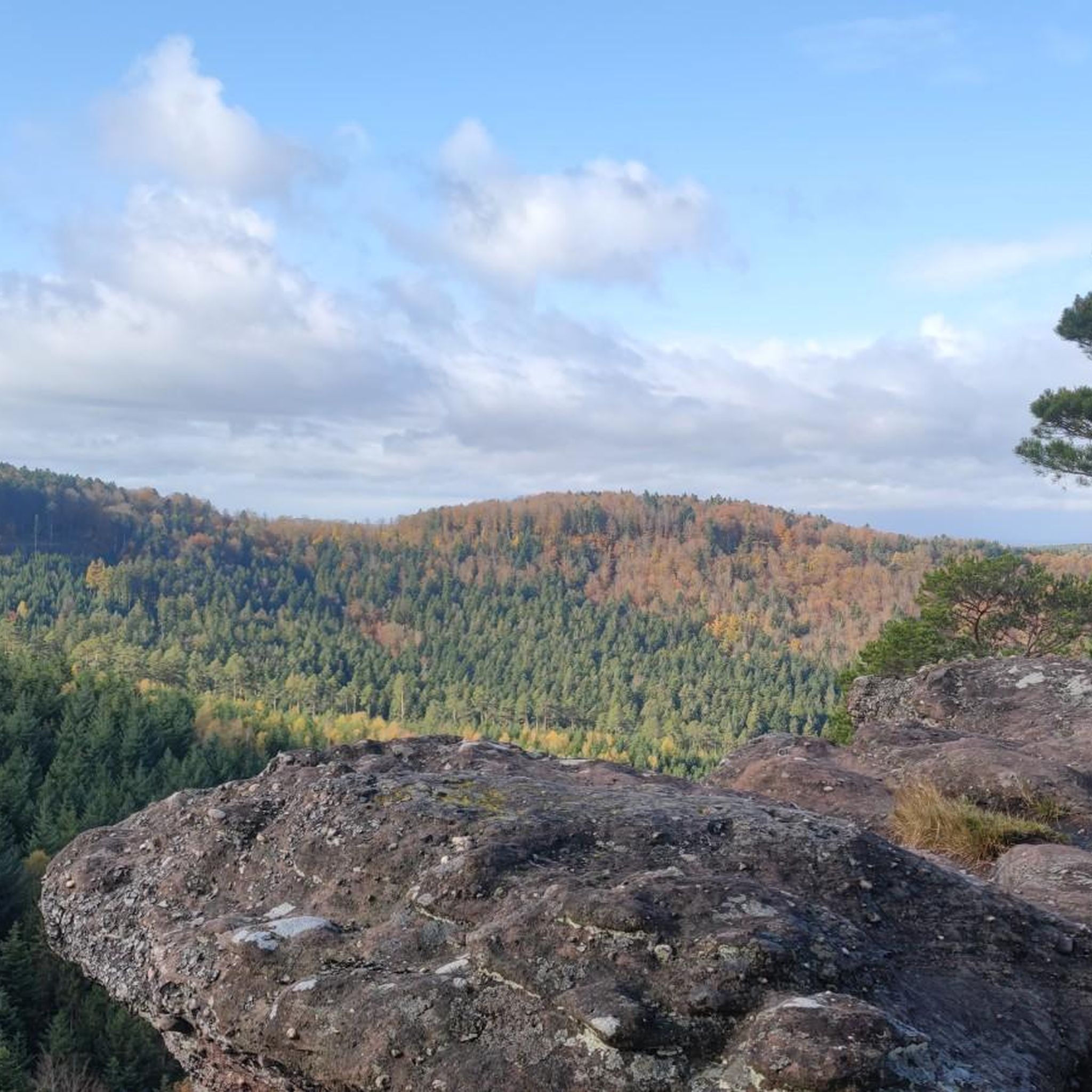
Running Trails around Alberschweiler
Gravel biking around Alberschweiler
Other adventures around Alberschweiler


Tips from the Community

The visit of the little train is worth the detour!
0
0
Beautiful chapel at the top of the pass!
0
0


Beautiful hiking destination, there is also a cycling route
0
0

Magnificent pass to climb from different slopes (Breitenbach, Steige, Vallée de la Bruche, Andlau). It is also a crossing point towards the Champ du feu, the Hohwald, the Mont Ste Odile.
0
0

Beautiful climb and lovely view at the pass - Altitude 728m Restaurants (inns) at the pass
0
0

Impressive structure of the Rhine-Marne Canal.
0
0

This impressive canal bridge crosses the Saar River between the villages of Hesse and Xouaxange, in Moselle. Built of metal, it is a testament to 19th-century civil engineering and is part of the region's river heritage. It is a peaceful place, steeped in history, offering magnificent views of the valley and surrounding landscapes. 🚶♂️ Accessible on foot or by bike via the towpath, it makes an ideal stopover during a stroll along the canal. Boats are sometimes encountered along the bridge, adding a lively and authentic touch to the place. 📸 An original photo spot, perfect for lovers of industrial heritage, hiking, and relaxing by the water.
0
0
Frequently Asked Questions
How many road cycling routes are available around Alberschweiler?
There are over 25 road cycling routes around Alberschweiler, offering a variety of options for different skill levels. These include 17 moderate routes and 10 difficult routes, ensuring there's a suitable ride for most cyclists.
What kind of terrain can I expect on road cycling routes in Alberschweiler?
Road cycling routes in Alberschweiler feature diverse terrain, from picturesque vineyards and rolling hills to dense chestnut forests within the Palatinate Forest biosphere reserve. You'll find routes winding through valleys, past historic villages, and offering scenic views of the Queichtal valley.
What is the best time of year for road cycling in Alberschweiler?
The region is particularly beautiful in spring when almond trees bloom along the "Pfälzer Mandelpfad," and in autumn with the changing colors of the vineyards and forests. While specific conditions vary, spring and autumn generally offer pleasant temperatures and stunning scenery for road cycling.
Are the road cycling routes in Alberschweiler generally paved?
Yes, many of the road cycling routes around Alberschweiler are primarily on paved surfaces, making them ideal for road bikes. The network is designed to offer smooth rides through vineyards and along valley roads.
Are there challenging road cycling routes with significant elevation gain?
Absolutely. For experienced cyclists seeking a challenge, Alberschweiler offers routes with significant elevation gains, traversing challenging passes and forest roads. An example is the Col du Donon – Chapelotte Pass loop from Abreschviller, which features over 1,100 meters of ascent.
Are there easier road cycling options for beginners or those seeking a more relaxed ride?
While there are no routes classified as 'easy' in the immediate vicinity, many of the moderate routes offer less strenuous options. These often involve gentler gradients through vineyards and along river valleys, providing a more relaxed cycling experience. The region's diverse network ensures options for various fitness levels.
What natural features can I see while road cycling around Alberschweiler?
You can expect to cycle through extensive vineyards, especially beautiful during bloom, and along the edge of the Palatinate Forest. Many routes offer views of the Queichtal valley and lead past natural monuments like the "Felsenmeer Hüttenberg" (Kalmit Rock Sea). You might also encounter highlights such as the Viewpoint above the Nideck Waterfall or the Soultzbach Waterfall.
Are there any historical landmarks or castles visible from the road cycling routes?
Yes, the region is rich in history. You can often catch glimpses of majestic structures like Trifels Castle, which towers over the nearby town of Annweiler. Some routes may also pass by or offer views of historical sites such as the Ruins of Nideck Castle or Wangenbourg Castle.
What do other road cyclists enjoy the most about road cycling in Alberschweiler?
The area is highly rated by the komoot community, with an average score of 4.7 stars from over 14 reviews. Cyclists often praise the varied terrain, from scenic vineyard paths to challenging forest climbs, and the well-maintained paved surfaces. The picturesque views and charming villages also receive frequent positive mentions.
Are there any circular road cycling routes around Alberschweiler?
Yes, many of the road cycling routes in Alberschweiler are designed as loops, allowing you to start and end in the same location. For example, the THE ROCK OF THE COWS – Abreschviller, a pretty village loop from Grand Soldat offers a scenic circular ride through a village setting.
Can I find places to eat or drink along the road cycling routes?
Alberschweiler and the surrounding villages, such as St. Martin, are known for their wine culture. You'll find charming wine bars, cafes, and restaurants that make pleasant stops for cyclists to refuel and enjoy local specialties.
Is Alberschweiler well-connected by public transport for cyclists?
Alberschweiler is situated in a region with public transport options. For specific information on transporting bikes via train or bus, it's advisable to check local transport schedules and regulations, as policies can vary regarding bike carriage.
Are there parking facilities available for cyclists in Alberschweiler?
Yes, Alberschweiler, as a popular starting point for outdoor activities, typically offers parking facilities suitable for visitors. Specific parking locations may vary, but options are generally available within the village for those arriving by car with their bikes.
Most popular routes around Alberschweiler
Most popular attractions around Alberschweiler

Get inspired with the komoot mobile app


Explore more
Browse the best Road cycling routes in other regions.
