The best gravel rides around La Lanterne-Et-Les-Armonts
4.1
(5)
13
riders
5
rides
Gravel biking around La Lanterne-Et-Les-Armonts offers routes through a landscape characterized by numerous ponds, plateaus, and rolling hills. The region, often referred to as the "Plateau des mille étangs" (Plateau of a thousand ponds), provides varied terrain suitable for gravel cyclists. Routes often feature a mix of forest paths, open country, and gentle ascents, with some trails leading to more significant climbs like the Pinot Ramp. The area's geography supports both leisurely rides and more challenging gravel bike routes.
Best…
Last updated: August 12, 2026
4.3
(3)
5
riders
23.0km
01:38
280m
280m
Moderate gravel ride. Good fitness required. Mostly paved surfaces. Suitable for all skill levels.
3.0
(1)
2
riders
15.8km
01:14
220m
220m
Moderate gravel ride. Good fitness required. Mostly paved surfaces. Suitable for all skill levels.

Sign up for free
5.0
(1)
3
riders
17.0km
01:11
210m
210m
Moderate gravel ride. Good fitness required. Mostly paved surfaces. Suitable for all skill levels.
2
riders
44.0km
02:48
310m
310m
Moderate gravel ride. Good fitness required. Mostly paved surfaces. Suitable for all skill levels.
1
riders
22.5km
01:23
140m
140m
Hard gravel ride. Great for any fitness level. You may need to push your bike for some segments of this route.
Our route recommendations are based on thousands of hikes, rides, and runs completed by other people on komoot.
Start today with a free account
Your next adventure awaits.
Login or Signup

Tips from the Community

This stone, with its fine grain and delicate pink color, is a peculiarity of Saint Gernain: it is sandstone, the rock that outcrops at the site of "Les Carriers," where it forms a hill overlooking the wide cone of fluvioglacial ejecta from the Ognon. Indeed, the former ice ages caused the extensive deposits of alluvial soil that covered virtually the entire territory of Saint Germain and the neighboring communes. A succession of layers of different materials, mixed with varying degrees of clay, explains the numerous springs, streams, and wetlands. Humans have exploited this abundance of water: here by drainage, there by retaining the water for ponds or for use as washing places.
0
0


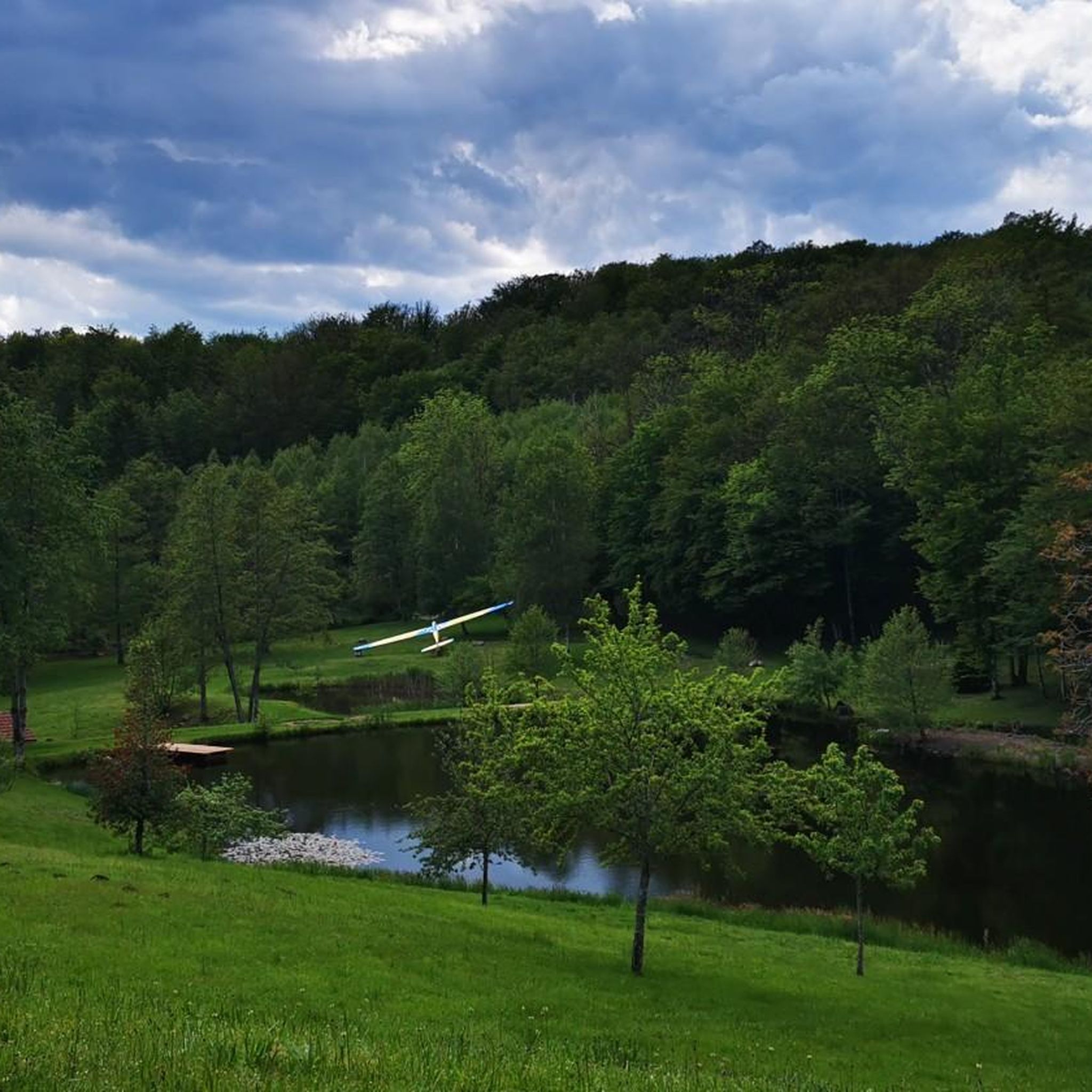
Romantic, quiet lake with a slanting jetty that doesn't look very reassuring.
9
0

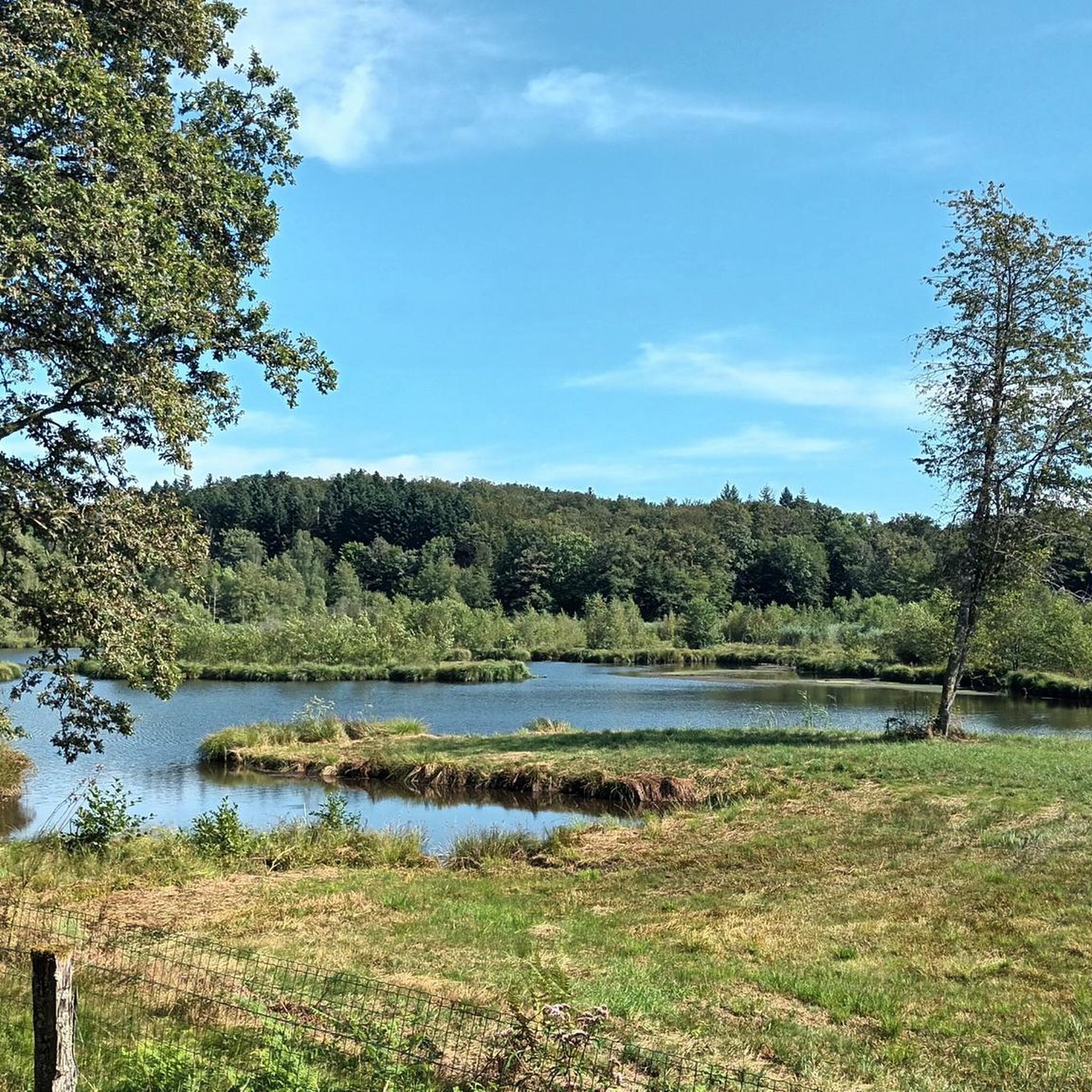
This pond is an important habitat for aquatic wildlife and bird species. Ornithology lovers, you will be delighted! Its tranquil surroundings and calm waters also make it an ideal location for peaceful waterside walks.
1
0
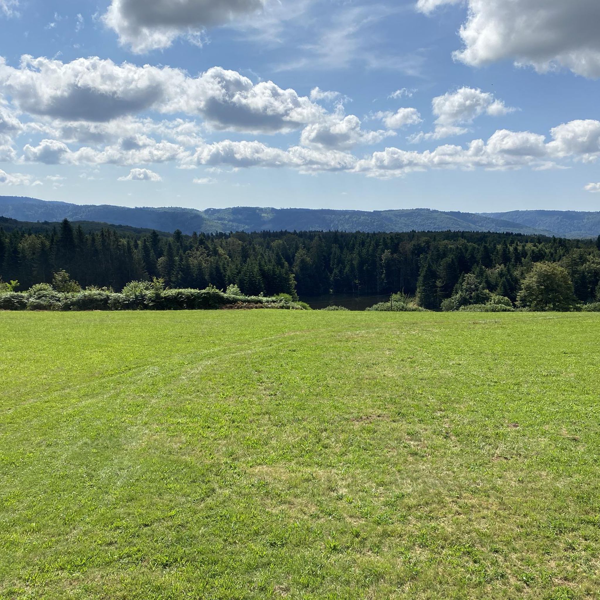
From here, you can see the Saint-Hilaire pond in the distance. The body of water blends perfectly with its green setting, creating an ideal setting for hiking.
1
0
The Grand Saint Maurice pond is located in the heart of the Grande Pile peat bog. This wetland is essential for biodiversity, and is home to rare species of flora and fauna. It is a popular place for bird watching and hiking.
1
0

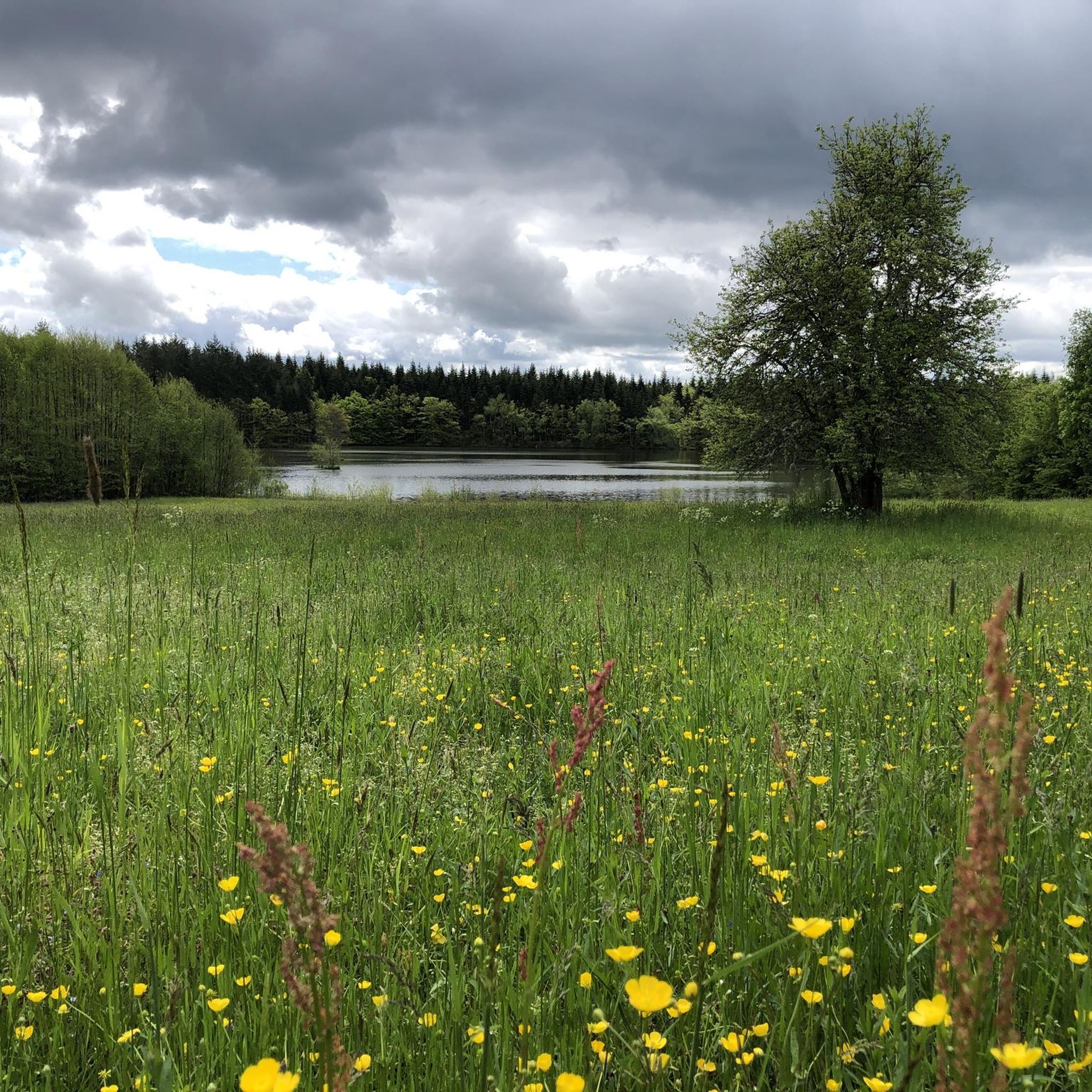
On this road, you have a beautiful overview of the Plateau des mille étangs, which extends over 220m2 between Lure and Faucogney. This quantity of ponds is the result of the retreat of the glaciers which covered the Vosges until the last ice age, 12,000 years ago. This landscape offers great wealth for biodiversity, particularly with the presence of peat bogs. We call this region 'Little Finland', you will quickly understand why!
1
0
Frequently Asked Questions
How many gravel bike trails are available in La Lanterne-Et-Les-Armonts?
There are 8 gravel bike routes in the region, offering a mix of easy, moderate, and difficult options to explore the unique landscape of ponds and plateaus.
Are there any easy gravel bike routes suitable for beginners or families?
Yes, the region offers several easier routes. For a moderate yet scenic ride, consider the Grand Rosbeck Pond – Étang Saint-Hilaire loop from Belonchamp, which is about 15 km long and winds through areas featuring local ponds.
What are some challenging gravel bike routes for experienced riders?
For experienced riders seeking a challenge, the region offers difficult routes with significant elevation gain. A notable option is the Pinot Ramp – La Planche des Belles Filles loop from Mélisey, which covers nearly 47 km and includes substantial climbs.
Are there any longer gravel bike routes, for example, around 50km?
Yes, for a longer adventure, the Discovering 1000 ponds – La Mer loop from Belonchamp is an excellent choice. This difficult route spans over 54 km, allowing you to immerse yourself in the 'Plateau des mille étangs' landscape.
What kind of scenery can I expect on gravel bike trails in La Lanterne-Et-Les-Armonts?
The region is known as the 'Plateau des mille étangs' (Plateau of a thousand ponds), so you can expect routes characterized by numerous ponds, rolling hills, and a mix of forest paths and open country. Many routes, like the Plateau des mille étangs – Pellevin Pond loop from Écromagny, offer picturesque views of this unique watery landscape.
Are there any circular gravel bike routes available?
Most of the gravel bike routes in La Lanterne-Et-Les-Armonts are designed as loops, making them convenient for starting and ending at the same point. Examples include the La Mer – Beautiful Landscape loop from Les Noyes Parron and the Plateau des mille étangs – Pellevin Pond loop from Écromagny.
What can I see along the gravel bike trails or nearby?
While cycling, you'll primarily enjoy the natural beauty of the ponds and forests. For cultural or historical points of interest, consider visiting the Notre-Dame-du-Haut Chapel, a significant architectural landmark, or exploring the area around Lure. The region also features the Plateau des mille étangs itself as a major highlight.
What do other gravel bikers enjoy most about gravel biking in La Lanterne-Et-Les-Armonts?
The area is highly rated by the komoot community, with an average score of 4.3 stars from over 9 reviews. Reviewers often praise the varied terrain, the serene beauty of the numerous ponds, and the well-maintained paths that make for an enjoyable gravel biking experience.
What is the best time of year to go gravel biking in La Lanterne-Et-Les-Armonts?
While specific seasonal data isn't provided, the varied terrain with forest paths and open country suggests that spring and autumn would offer pleasant temperatures and beautiful scenery, especially with the changing foliage around the ponds. Summer can also be enjoyable, but be prepared for warmer weather.
Are there any specific viewpoints or scenic spots recommended for gravel bikers?
The entire 'Plateau des mille étangs' is inherently scenic, offering numerous picturesque spots around its many ponds. Routes like the La Mer – Beautiful Landscape loop from Les Noyes Parron are specifically highlighted for their scenic beauty, providing ample opportunities for stunning views.
Most popular routes around La Lanterne-Et-Les-Armonts
Most popular attractions around La Lanterne-Et-Les-Armonts

Get inspired with the komoot mobile app


Explore more
Browse the best Gravel rides in other regions.
