The best MTB trails around La Lanterne-Et-Les-Armonts
4.4
(164)
769
riders
80
rides
Mountain biking around La Lanterne-Et-Les-Armonts offers diverse terrain within the Haute-Saône department of eastern France. The region is characterized by the unique Plateau des mille étangs, a landscape formed by glacial retreat featuring numerous ponds and rich biodiversity. Elevations in the commune range from 345 to 492 meters, providing varied gradients for mountain bike routes. The area is also part of the Vosges Saônoises, offering trails through deep forests and varied natural features.
Best mountain bike trails in La Lanterne-Et-Les-Armonts
…Last updated: October 8, 2026
4.5
(12)
37
riders
47.5km
03:54
850m
850m
Moderate mountain bike ride. Good fitness required. Suitable for all skill levels.
4.7
(7)
36
riders
Hard mountain bike ride. Very good fitness required. Advanced riding skills necessary. Some portions of the route may require you to push your bike.

3.9
(7)
41
riders
25.8km
01:52
310m
310m
Moderate mountain bike ride. Good fitness required. Advanced riding skills necessary.
4.8
(18)
31
riders
45.3km
03:47
660m
660m
Moderate mountain bike ride. Good fitness required. Advanced riding skills necessary.
4.6
(20)
86
riders
30.3km
02:23
410m
410m
Moderate mountain bike ride. Good fitness required. Advanced riding skills necessary.
Get access to more routes and recommendations from other explorers.
Already have an account?
Our route recommendations are based on thousands of hikes, rides, and runs completed by other people on komoot.
Start today with a free account
Your next adventure awaits.


Tips from the Community

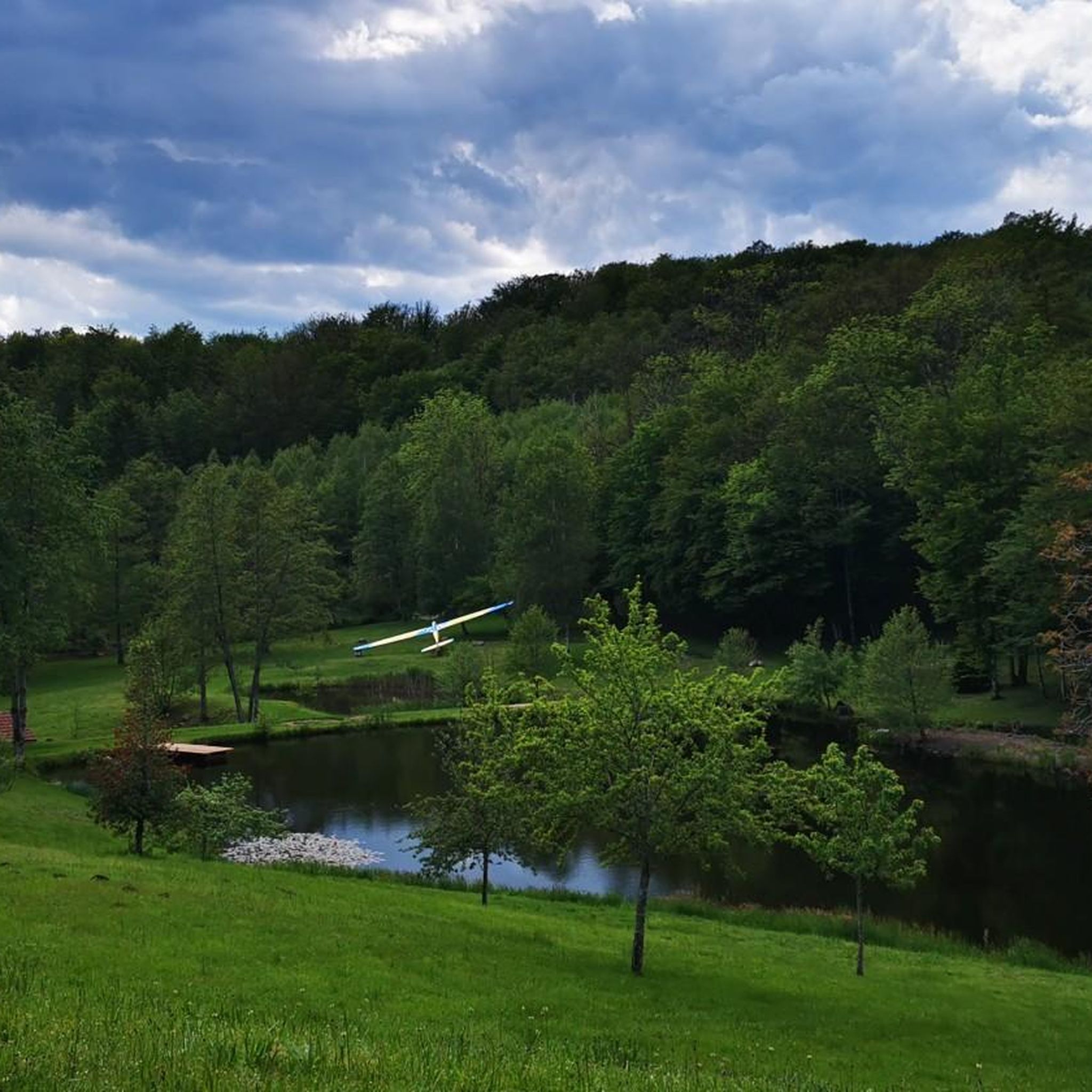
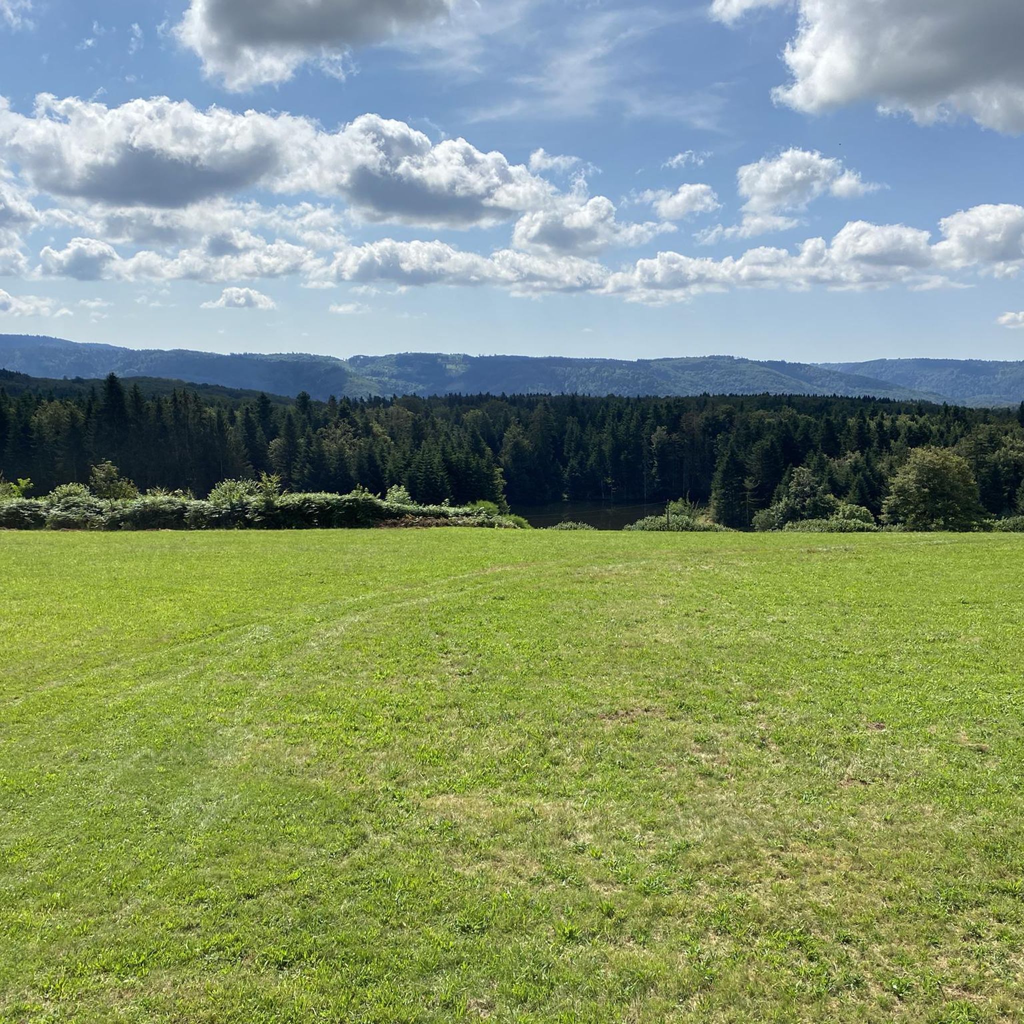
The Plateau des Grilloux car park is a great base for exploring this beautiful part of the French countryside. Located close to the starting point of several hiking trails, it provides easy access to the Plateau des Grilloux, known for its panoramic views and rich natural environment.
5
0

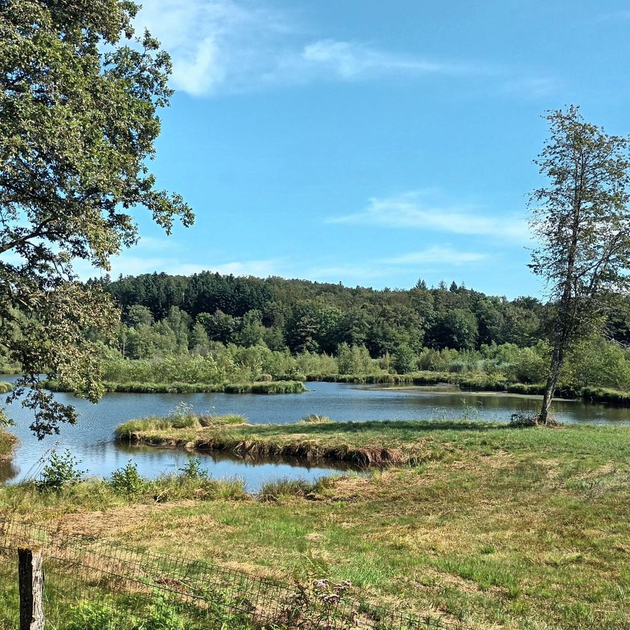
This pond is an important habitat for aquatic wildlife and bird species. Ornithology lovers, you will be delighted! Its tranquil surroundings and calm waters also make it an ideal location for peaceful waterside walks.
1
0

On this road, you have a beautiful overview of the Plateau des mille étangs, which extends over 220m2 between Lure and Faucogney. This quantity of ponds is the result of the retreat of the glaciers which covered the Vosges until the last ice age, 12,000 years ago. This landscape offers great wealth for biodiversity, particularly with the presence of peat bogs. We call this region 'Little Finland', you will quickly understand why!
1
0

I did not expect it, it breaks the legs but a huge satisfaction
0
0


Approx. 300 m from the parking lot, the waterfall can be reached on a path, in summer there is less water, in spring with a lot of water it is a great sight
2
0

Frequently Asked Questions
How many mountain bike trails are available around La Lanterne-Et-Les-Armonts?
There are over 80 mountain bike routes available in the La Lanterne-Et-Les-Armonts area. These trails cater to various skill levels, with 16 easy, 56 moderate, and 9 difficult options.
What kind of terrain can I expect on mountain bike trails in this region?
The terrain around La Lanterne-Et-Les-Armonts is highly varied, characterized by the unique Plateau des mille étangs (Plateau of a Thousand Ponds), dense forests, and varied gradients. You'll find trails through wooded areas, alongside numerous ponds, and across plateaus, offering a complete change of scenery.
Are there any challenging mountain bike routes for experienced riders?
Yes, for experienced riders seeking a challenge, there are 9 difficult mountain bike routes. One such route is the Doye – Discovering 1000 ponds loop from La Doye Habillement, which covers 50.1 km with significant elevation changes. Another demanding option is the Saint-Martin Church – Saut de l'Ognon Waterfall loop from Écromagny, spanning 47.3 km.
What are the best times of year for mountain biking in La Lanterne-Et-Les-Armonts?
The region is generally excellent for outdoor activities. Spring and autumn offer pleasant temperatures and beautiful scenery, especially around the Plateau des mille étangs. Summer is also suitable, though some trails might be busier. Winter mountain biking is possible, but conditions can vary, especially with potential snow or ice in higher elevations of the Vosges Saônoises.
What do other mountain bikers enjoy most about the trails here?
The mountain bike trails around La Lanterne-Et-Les-Armonts are highly rated by the komoot community, with an average score of 4.5 stars from over 140 reviews. Riders often praise the unique landscapes of the Plateau des mille étangs, the diversity of the routes, and the peaceful atmosphere of the forests and valleys.
Are there any family-friendly mountain bike trails in the area?
While specific 'family-friendly' designations aren't provided, the region offers 16 easy mountain bike routes that could be suitable for families or those looking for a more relaxed ride. These trails typically have less elevation gain and cover shorter distances, allowing for a more enjoyable experience for all skill levels.
Can I bring my dog on the mountain bike trails?
Many outdoor trails in France, especially in natural areas, are generally dog-friendly, provided dogs are kept under control, often on a leash, and owners clean up after them. It's always recommended to check local signage or specific park regulations for any restrictions, particularly in protected areas like the Natural Park of the Ballons des Vosges Saônoises.
Are there any circular mountain bike routes?
Yes, many of the mountain bike routes in the area are designed as loops. For example, the Plateau des mille étangs – Pellevin Pond loop from Écromagny and the Etang de la Dame – Small Pond Shelter loop from Camping La Pierre are both popular circular routes that allow you to start and finish at the same point.
What interesting landmarks or attractions can I see while mountain biking?
The region offers several points of interest. You can explore the unique glacial landscape of the Plateau des mille étangs, often called 'Little Finland'. The broader area also features cultural highlights like the iconic Notre-Dame-du-Haut Chapel, an architectural marvel. Additionally, you might encounter historical calvaries and crosses throughout the commune.
Are there any mountain bike trails that feature waterfalls?
Yes, one notable route that includes a waterfall is the Saint-Martin Church – Saut de l'Ognon Waterfall loop from Écromagny. This challenging 47.3 km trail offers the chance to see the Saut de l'Ognon Waterfall as part of your ride.
Where can I find information about mountain biking in the wider Haute-Saône region?
For more general information about cycling and mountain biking opportunities across the Haute-Saône department, you can visit the official tourism website: hautesaonetourisme.com. This resource provides broader context on the region's offerings.
What are the typical elevations and distances for mountain bike routes here?
The elevation in La Lanterne-Et-Les-Armonts ranges from 345 to 492 meters. Mountain bike routes vary significantly in length and elevation gain. For instance, moderate routes like the Plateau des mille étangs – Pellevin Pond loop cover about 25.8 km with around 313 meters of ascent, while difficult routes such as the Doye – Discovering 1000 ponds loop can be over 50 km long with more than 730 meters of climbing.
Most popular routes around La Lanterne-Et-Les-Armonts
Most popular attractions around La Lanterne-Et-Les-Armonts

Get inspired with the komoot mobile app


Explore more
Browse the best MTB trails in other regions.
