The best gravel rides around Conand
4.1
(7)
86
riders
18
rides
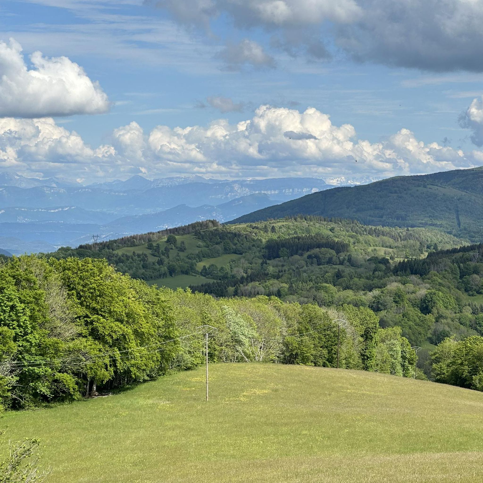
Gravel bike trails around Conand are characterized by river valleys, particularly along the Rhône, and feature historic landmarks such as Vertrieu castle. The terrain offers a mix of relatively flat paths with minimal elevation gain and more challenging routes that ascend into hilly passes. This diverse landscape provides varied riding conditions for gravel biking.
Best gravel bike trails around Conand
- The most popular gravel bike trail is View of the Saut du Rhône – View of Vertrieu castle loop from…
Last updated: October 6, 2026
4.5
(2)
40
riders
90.6km
05:00
520m
520m
Hard gravel ride. Very good fitness required. Mostly paved surfaces. Suitable for all skill levels.
5
riders
59.4km
04:13
1,010m
1,010m
Hard gravel ride. Very good fitness required. Mostly paved surfaces. Suitable for all skill levels.

5
riders
56.7km
04:03
1,060m
1,060m
Hard gravel ride. Very good fitness required. Mostly paved surfaces. Suitable for all skill levels.
5.0
(3)
9
riders
Hard gravel ride. Very good fitness required. Mostly paved surfaces. Suitable for all skill levels.
3.0
(1)
10
riders
Easy gravel ride. Great for any fitness level. Mostly paved surfaces. Suitable for all skill levels.
Get access to more routes and recommendations from other explorers.
Already have an account?
Our route recommendations are based on thousands of hikes, rides, and runs completed by other people on komoot.
Start today with a free account
Your next adventure awaits.
Tips from the Community

The Voie verte des Balcons du Dauphiné is a 18-kilometer-long secure cycle and pedestrian path, built on the route of the former Est Lyonnais railway line. It connects the medieval town of Crémieu to the municipality of Arandon-Passins, where it connects directly to the ViaRhôna.
0
0
The commune of Vertrieu, located in the department of Isère within the Balcons du Dauphiné, has the unique particularity of housing two major historical buildings: the Château Vieux (or Maison-Forte) and the Château Neuf (or Château Moderne).
0
0
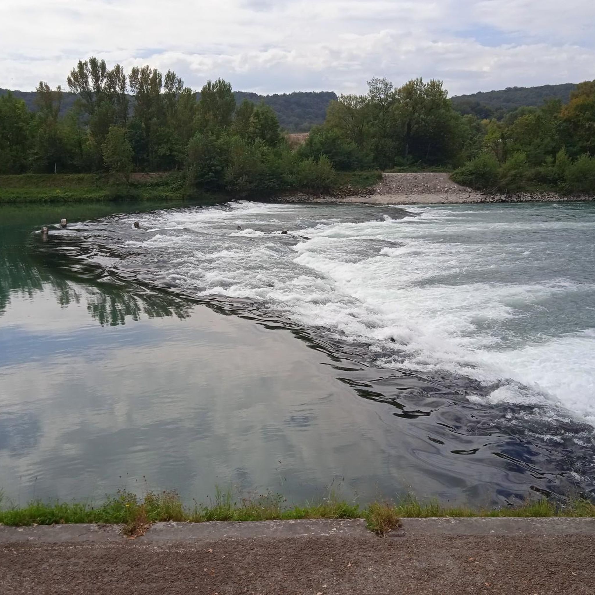
The Sault-Brénaz dam (also called Villebois dam or Sault-Brénaz facility) is an important hydroelectric infrastructure located on the Rhône River. It is situated on the border between the departments of Ain and Isère, mainly near the communes of Sault-Brénaz and Villebois. Commissioned in 1986, this structure was the last major facility built by the Compagnie Nationale du Rhône (CNR) on the upper Rhône.
0
0
The Sault-Brénaz dam (also called Villebois dam or Sault-Brénaz facility) is an important hydroelectric infrastructure located on the Rhône River. It lies on the border between the departments of Ain and Isère, mainly near the communes of Sault-Brénaz and Villebois. Commissioned in 1986, this structure was the last major development built by the Compagnie Nationale du Rhône (CNR) on the upper Rhône.
0
0

Very beautiful campsite, quiet, well-maintained, clean sanitary facilities, swimming pool. Open from mid-April to the end of September.
0
0

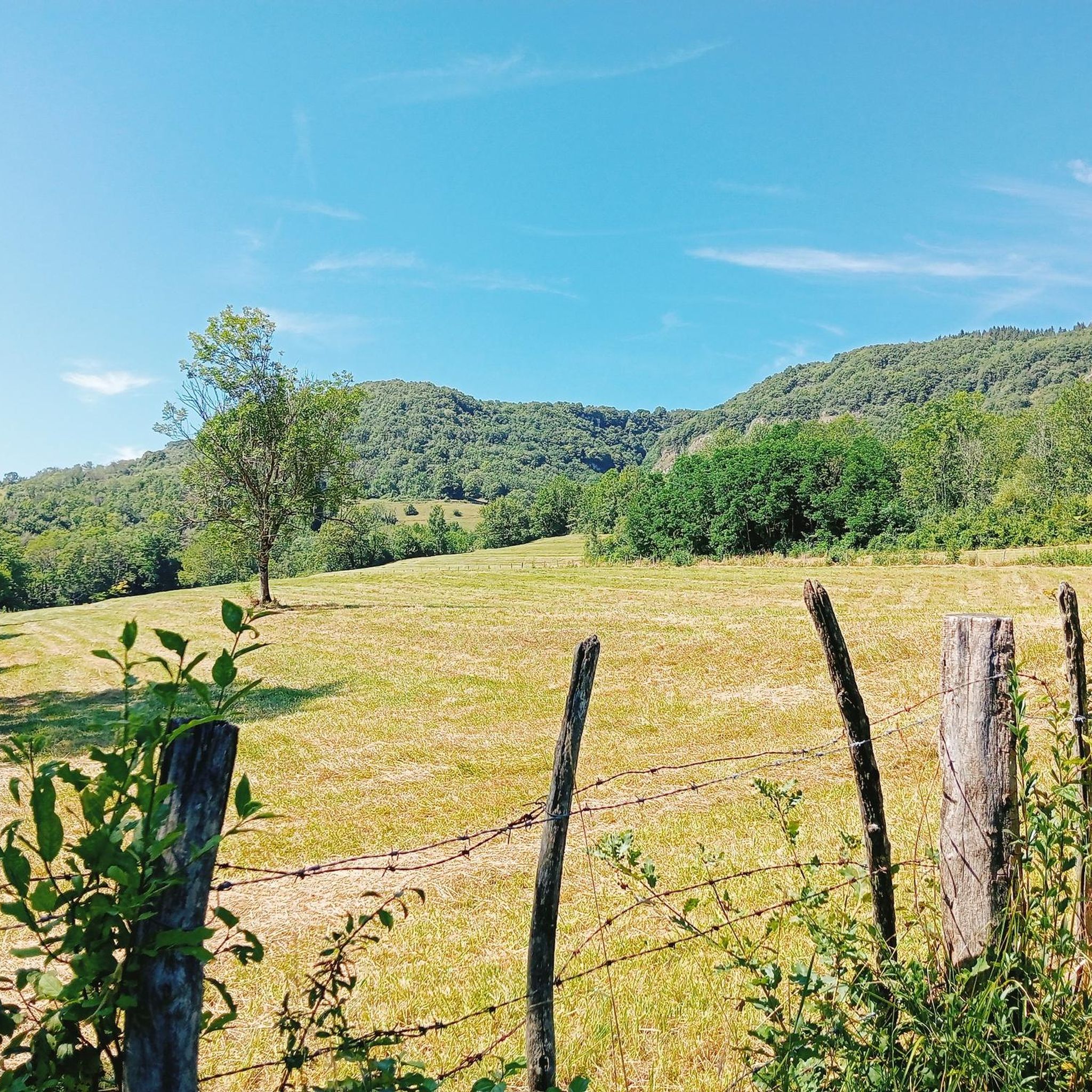
Beautiful cycle path, mostly shaded, unpaved but rideable (I ride it with 23mm tires), which follows the old line of the Chemin de Fer de l'Est Lyonnais (CFEL)
0
0

cycle path very busy in good weather
1
0

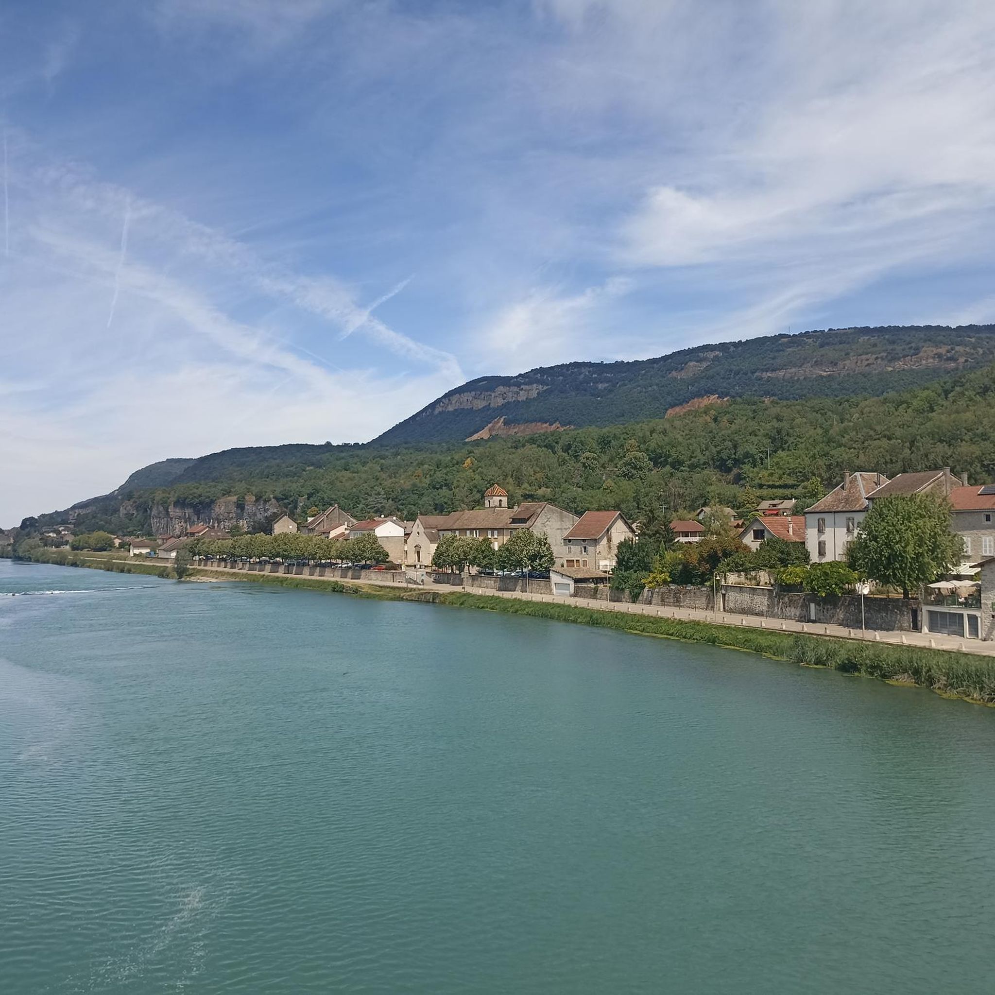
Spectacular! One of the most beautiful views in the region. Incredible sunset.
0
0
Frequently Asked Questions
How many gravel bike trails are available in Conand?
There are over 25 gravel bike trails around Conand, offering a diverse range of options for cyclists. These include 11 moderate and 18 difficult routes, ensuring there's something for various skill levels.
What kind of terrain can I expect on gravel bike trails around Conand?
The terrain in Conand is quite varied. You'll find paths winding through river valleys, notably along the Rhône, as well as routes that ascend into more challenging hilly passes. Some trails offer relatively flat sections, while others feature significant elevation gains.
Are there any circular gravel bike routes in Conand?
Yes, many of the gravel bike routes in Conand are designed as loops, allowing you to start and finish in the same location. For example, the View of the Saut du Rhône – View of Vertrieu castle loop from Porcieu - Pont de Sault-Brénaz is a popular circular option.
What natural sights can I see while gravel biking in Conand?
Conand offers several natural attractions. You might encounter waterfalls like the Brive Waterfall, or serene lakes such as Lac Bleu on the Gardon and Vallée Bleue Lake. The region's river valleys, especially along the Rhône, also provide scenic views.
Are there any historical landmarks or castles along the gravel routes?
Yes, the region is home to historic landmarks. Vertrieu castle is mentioned as a feature on some routes. You can also explore Allymes Castle, which is another notable historical site in the area.
Are there any less challenging gravel bike trails suitable for those new to the sport in Conand?
While there are no routes explicitly categorized as 'easy' in the guide data, several moderate trails offer lower elevation gains and could be suitable for beginners looking for a less strenuous ride. The View of the Saut du Rhône – Whitewater course loop from Saint-Sorlin-en-Bugey, for instance, is a moderate 23.9-mile path that largely follows the Rhône with minimal elevation.
What are some longer or more advanced gravel routes in Conand?
For a more challenging experience, consider routes with significant elevation. The Evosges Pass – Lesines Pond loop from Évosges is a difficult 36.9-mile trail that takes you through hilly terrain and past Lesines Pond, involving over 1000 meters of ascent.
What do other gravel bikers enjoy the most about gravel biking in Conand?
The komoot community highly rates the gravel biking experience in Conand, with an average score of 4.5 stars from over 20 reviews. Riders often praise the diverse landscape, which combines scenic river valleys with historic landmarks and challenging hilly sections, offering a varied and engaging ride.
Are there specific points of interest along the Rhône river trails?
Yes, routes following the Rhône river often feature points of interest such as the Saut du Rhône and a whitewater course. The View of the Saut du Rhône – Whitewater course loop from Saint-Sorlin-en-Bugey is a great example of a trail that highlights these features.
Are there any caves to explore near the gravel bike trails?
Yes, if you're interested in exploring caves, the La Balme Caves are a notable attraction in the vicinity of Conand's gravel bike trails.
What is the typical duration for gravel bike routes in Conand?
The duration of gravel bike routes in Conand varies significantly depending on the distance and difficulty. Moderate routes like the View of the Saut du Rhône – View of Vertrieu castle loop from Briord can take around 2 hours 15 minutes, while longer, more difficult trails such as the Evosges Pass – Lesines Pond loop from Évosges might require closer to 5 hours to complete.
Most popular attractions around Conand

Get inspired with the komoot mobile app


Explore more
Browse the best Gravel rides in other regions.
