The best walks and hikes around Conand
4.5
(882)
5,642
hikers
277
hikes
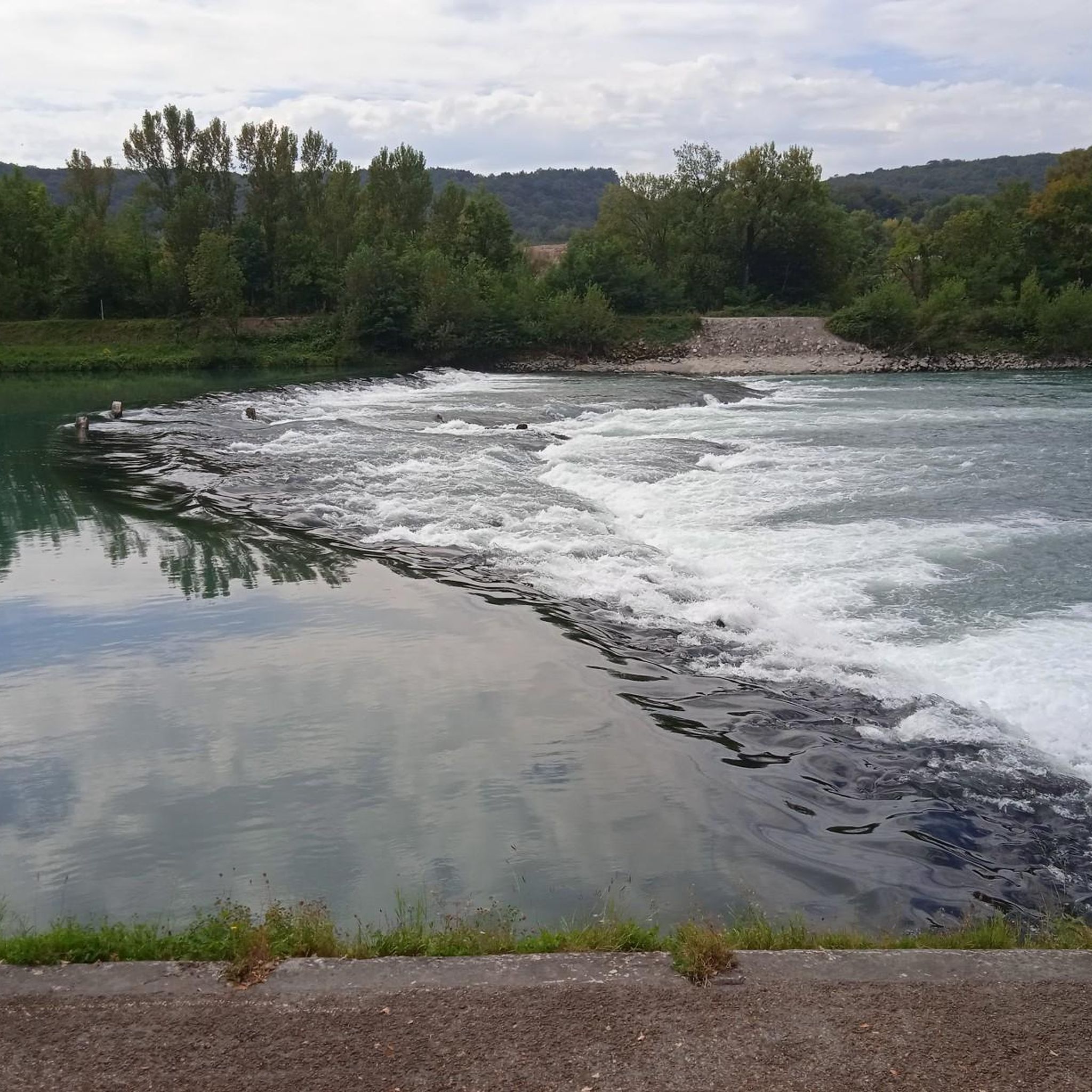
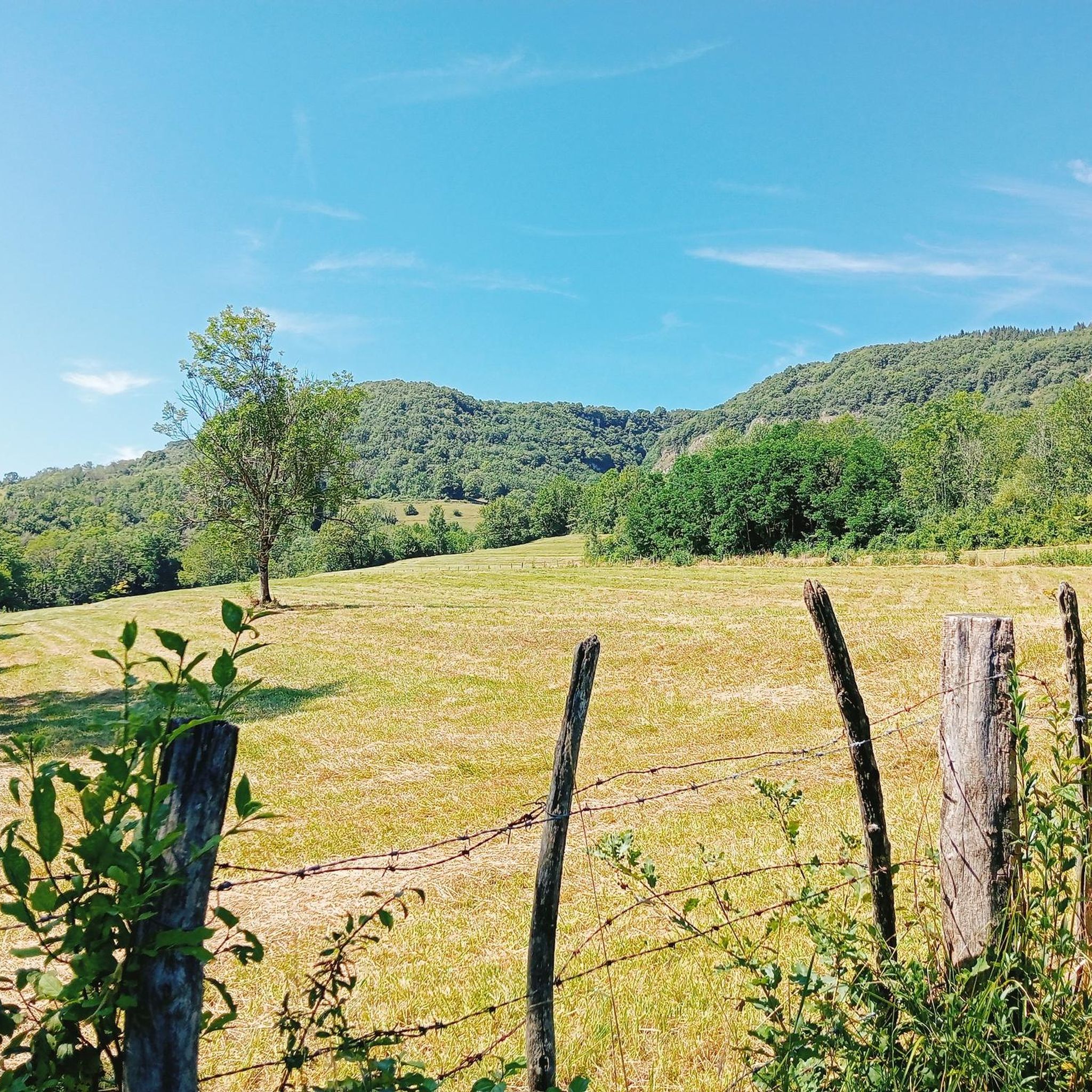
Hiking around Conand offers access to trails within the Ain department of the Auvergne Rhône-Alpes region. The surrounding area features varied terrain, including ridges, valleys, and areas with waterfalls, indicating a landscape suitable for different levels of hiking. While Conand itself is a small commune, nearby natural features and the available routes suggest a mix of forest paths and open views. The region's topography includes hills and moderate elevation changes, providing diverse hiking experiences.
Best hiking trails around Conand
- The…
Last updated: October 1, 2026
14
hikers
5.71km
01:46
210m
210m
Easy hike. Great for any fitness level. Easily-accessible paths. Suitable for all skill levels.
10
hikers
5.00km
01:35
200m
200m
Easy hike. Great for any fitness level. Easily-accessible paths. Suitable for all skill levels.

10
hikers
10.8km
03:33
490m
490m
Moderate hike. Good fitness required. Easily-accessible paths. Suitable for all skill levels.
4.5
(2)
6
hikers
5.10km
01:36
200m
200m
Easy hike. Great for any fitness level. Easily-accessible paths. Suitable for all skill levels.
5.0
(2)
4
hikers
3.54km
01:05
120m
120m
Easy hike. Great for any fitness level. Easily-accessible paths. Suitable for all skill levels.
Get access to more routes and recommendations from other explorers.
Already have an account?
Our route recommendations are based on thousands of hikes, rides, and runs completed by other people on komoot.
Start today with a free account
Your next adventure awaits.
Tips from the Community

A very friendly welcome in a very charming and comfortable establishment, at a very reasonable price, I recommend...
0
0

The climb is quite steep. There are picnic tables and garbage cans upstairs.
0
0
Frequently Asked Questions
How many hiking trails are available around Conand?
There are over 240 hiking routes available around Conand, offering a wide variety of experiences. These include 86 easy routes, 123 moderate routes, and 33 more challenging trails for experienced hikers.
What kind of terrain can I expect when hiking near Conand?
Hiking around Conand offers varied terrain, including ridges, valleys, and areas with waterfalls. You can expect a mix of forest paths and open views, with hills and moderate elevation changes providing diverse experiences within the Ain department of the Auvergne Rhône-Alpes region.
What do other hikers say about the trails around Conand?
The trails around Conand are highly rated by the komoot community, with an average score of 4.6 stars from over 700 reviews. Hikers often praise the varied terrain, from ridge paths to routes leading to waterfalls, and the opportunities for different ability levels.
Are there easy hiking options suitable for beginners or families near Conand?
Yes, there are 86 easy hiking routes around Conand, many of which are suitable for beginners or families. An example is the Waterfall with pools – Rheby canyoning start loop from Villebois, which is 4.2 km long and takes about 1 hour 16 minutes to complete, leading through varied terrain to a waterfall.
Are there challenging hikes for experienced trekkers around Conand?
Yes, for experienced trekkers, there are 33 difficult routes around Conand. One such challenging option is the Panorama of the Bugey – Petit Pertuis Pass loop from Ordonnaz, which is over 20 km long and features significant elevation changes, offering panoramic views of the Bugey region.
Are there any circular hiking routes around Conand?
Many of the trails around Conand are circular, allowing you to start and end at the same point. For example, the Doorway crucifixes loop from Chartreuse Sainte-Marie-des-Portes is a moderate 7.6 km loop that offers varied landscapes and historical points of interest.
Can I find hikes that feature waterfalls near Conand?
Yes, the area around Conand is known for its waterfalls. You can explore routes like the Cascade – Brive Waterfall loop from Ordonnaz. Additionally, highlights such as the Brive Waterfall, Claire Fontaine Waterfall, and Luizet Waterfall are popular points of interest.
Are there any notable viewpoints or mountain passes to explore near Conand?
Yes, the region offers several mountain passes that provide excellent viewpoints. You can find highlights such as the Petit Pertuis Pass, Evosges Pass, and Col de Fay, which are popular for their scenic vistas.
What is the best time of year to go hiking around Conand?
The Auvergne Rhône-Alpes region generally offers pleasant hiking conditions from spring through autumn. Spring brings blooming flora, while autumn showcases vibrant foliage. Summer is also popular, but it's always advisable to check local weather forecasts before heading out, especially for higher elevations or routes near waterfalls.
Is public transport available to reach hiking trailheads near Conand?
Conand is a small commune, and public transport options directly to specific trailheads may be limited. It is generally recommended to use a car to access the various starting points for hikes in the surrounding Ain department, as many routes begin from villages or parking areas that are not directly served by extensive public transport networks.
Are there specific parking facilities for hikers near Conand?
While specific dedicated hiker parking facilities are not extensively detailed for Conand itself, most trailheads in the surrounding villages and natural areas will have designated parking spots or roadside parking available. It's advisable to check the starting point details for individual routes on komoot for specific parking information.
Are there any historical or cultural points of interest along the hiking trails?
Yes, some routes incorporate historical elements. For instance, the Doorway crucifixes loop from Chartreuse Sainte-Marie-des-Portes offers a varied landscape with historical points of interest, providing a blend of nature and local heritage.
Most popular attractions around Conand

Get inspired with the komoot mobile app


Explore more
Browse the best Hikes in other regions.
