The best gravel rides around Ordonnaz
4.4
(14)
206
riders
9
rides
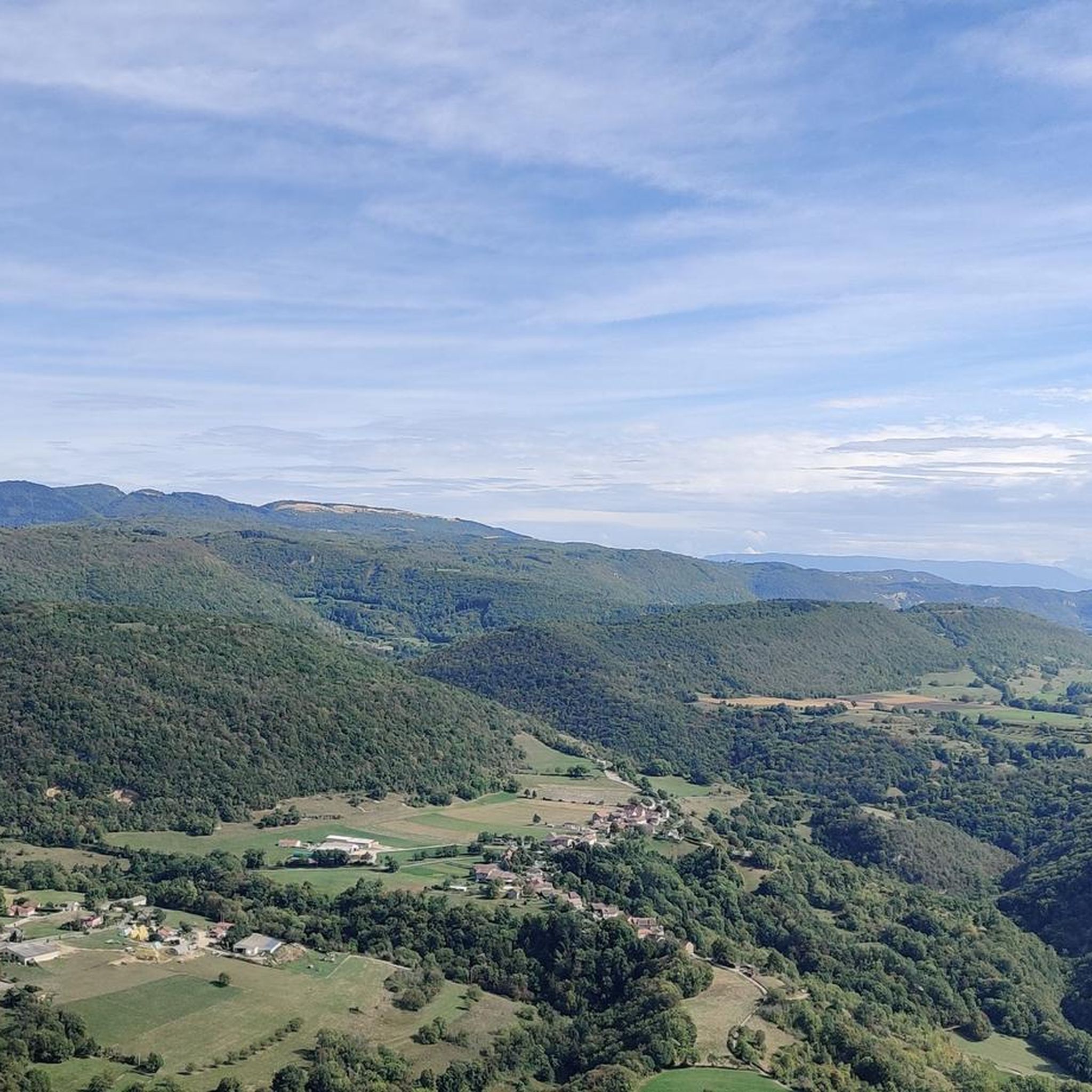
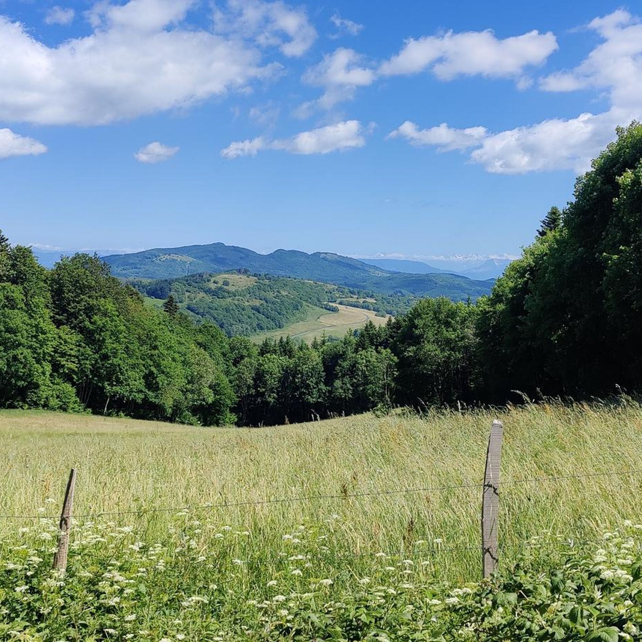
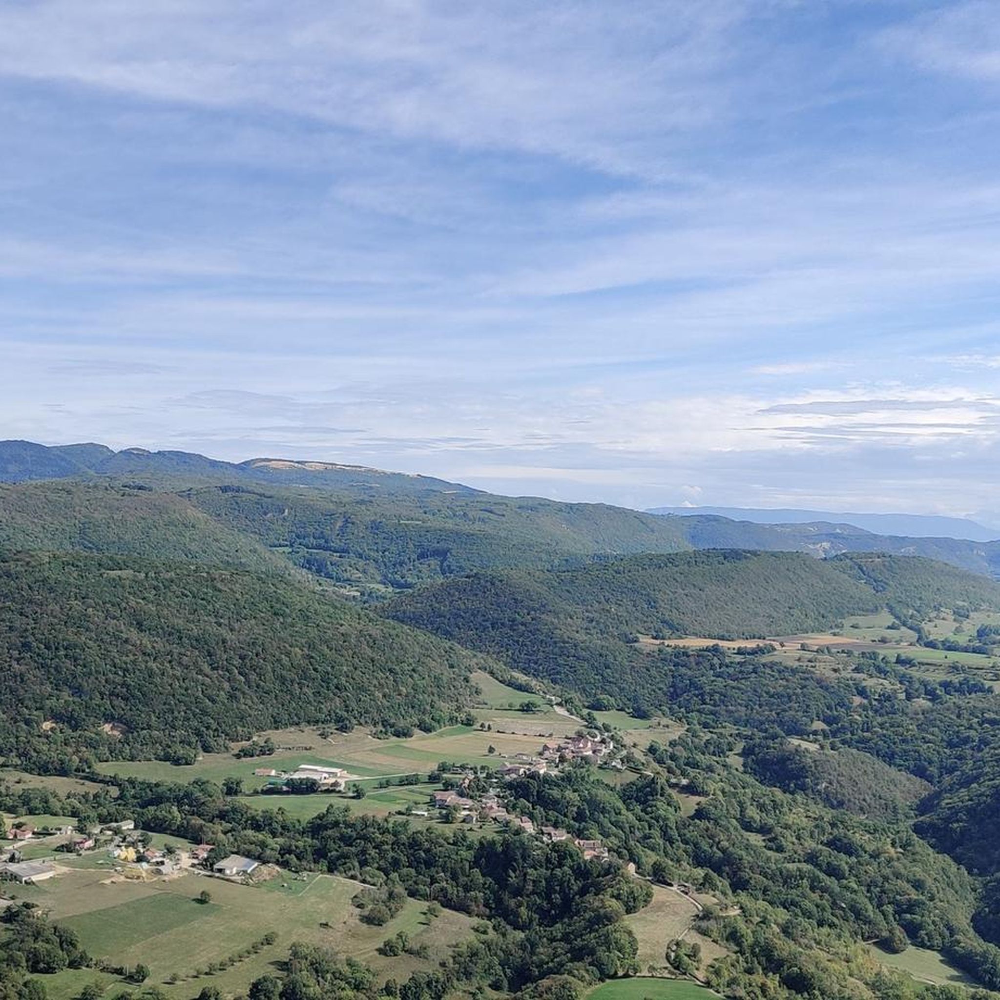
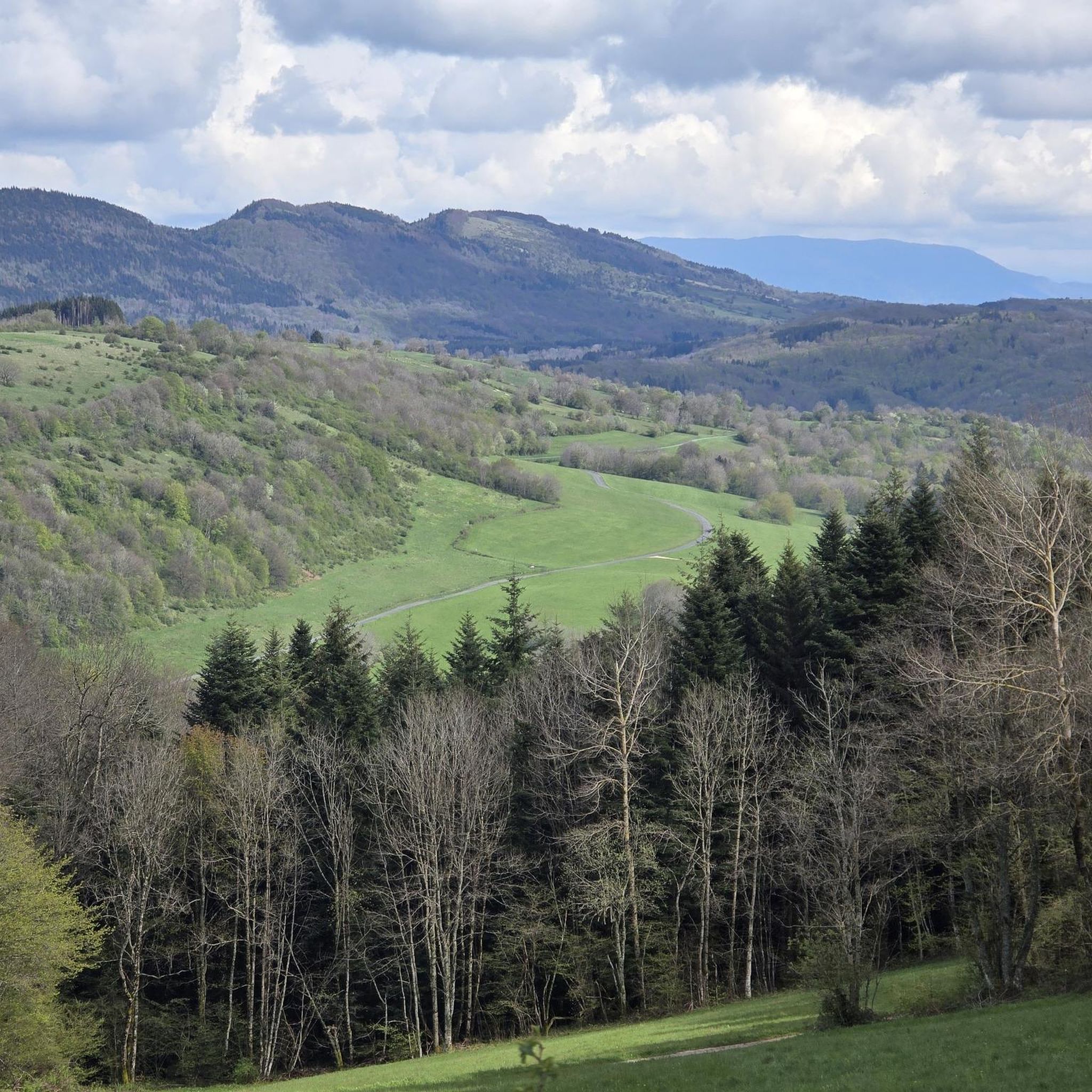
Gravel biking around Ordonnaz offers diverse terrain within the Bugey region of the Ain department. The area features a mix of mountainous landscapes, including the Bugey mountains and passes, alongside serene lakes such as Ambléon and Cerin. Routes often traverse varied topography, from rugged paths to scenic sections through vineyards on the lower slopes of the Jura mountains, providing expansive views of the Burbanche and Rhône valleys. This combination of meadows, forests, and hilly areas provides both challenging climbs and…
Last updated: November 2, 2026
4.3
(4)
84
riders
136km
08:21
1,460m
1,460m
Hard gravel ride. Very good fitness required. Mostly paved surfaces.
4.2
(6)
89
riders
Hard gravel ride. Very good fitness required. Mostly paved surfaces.

7
riders
54.7km
03:42
990m
990m
Hard gravel ride. Very good fitness required. Mostly paved surfaces.
5.0
(1)
8
riders
201km
11:52
1,790m
1,790m
Hard gravel ride. Very good fitness required. Mostly paved surfaces.
4
riders
103km
06:30
1,290m
1,290m
Hard gravel ride. Very good fitness required. Mostly paved surfaces.
Get access to more routes and recommendations from other explorers.
Already have an account?
Our route recommendations are based on thousands of hikes, rides, and runs completed by other people on komoot.
Start today with a free account
Your next adventure awaits.

Tips from the Community

The Sault-Brénaz dam (also called Villebois dam or Sault-Brénaz facility) is an important hydroelectric infrastructure located on the Rhône River. It is situated on the border between the departments of Ain and Isère, mainly near the communes of Sault-Brénaz and Villebois. Commissioned in 1986, this structure was the last major facility built by the Compagnie Nationale du Rhône (CNR) on the upper Rhône.
0
0
The Sault-Brénaz dam (also called Villebois dam or Sault-Brénaz facility) is an important hydroelectric infrastructure located on the Rhône River. It lies on the border between the departments of Ain and Isère, mainly near the communes of Sault-Brénaz and Villebois. Commissioned in 1986, this structure was the last major development built by the Compagnie Nationale du Rhône (CNR) on the upper Rhône.
0
0
The area is located on the border between the departments of Isère and Ain, right next to the Pont d’Évieu. A specific ViaRhôna link allows you to reach the center of the commune of Les Avenières directly from this point via small country roads.
0
0

The Via Rhona in the direction of Belley. Magnificent cycle path
1
0

a very nice section for us cyclists
0
0

Very straight cycle path with a very beautiful view in the middle of nature
0
0

Leisure base opposite Bas Bugey. A pleasant stop, but strangely located between 2 nuclear power plants...
0
0
Frequently Asked Questions
What kind of terrain can I expect on gravel bike trails around Ordonnaz?
Gravel biking around Ordonnaz offers a rich variety of terrain. You'll encounter rugged paths through the Bugey mountains, scenic sections winding through vineyards on the lower slopes of the Jura mountains, and routes that traverse diverse microclimates and ancient soils. The landscape features a mix of challenging ascents and rewarding vistas, with constantly changing backdrops of lakes and mountains.
Are there any challenging gravel routes for experienced riders?
Yes, Ordonnaz is well-suited for experienced gravel bikers, with 13 out of 15 routes rated as difficult. For a significant challenge, consider the 100.3 km Groslée Bridge – Virignin footbridge loop from Ordonnaz, which features over 1300 meters of elevation gain. Another demanding option is the 80.6 km View of Vertrieu castle – Groslée Bridge loop from Bouvesse-Quirieu.
What natural attractions can I see along the gravel bike routes?
The region is rich in natural beauty. You can discover serene spots like Lac d'Ambléon, a small high-altitude lake. For those who enjoy waterfalls, routes may pass near the Cerveyrieu Waterfall, Claire Fontaine Waterfall, or Cascade des Dards. You'll also find panoramic views of the Burbanche and Rhône valleys, and on clear days, even glimpses of the Alps and Mont Blanc from elevated points.
Are there any cultural or historical landmarks to explore near the trails?
Yes, beyond the natural landscapes, you can find cultural points of interest. The local Ordonnaz Church is often integrated into cycling routes. The broader Bugey area is known for its wine production, with vineyards adding to the picturesque scenery. For more exploration, the nearby town of Belley offers a historic center and cathedral.
What is the best time of year for gravel biking in Ordonnaz?
The diverse microclimates of the Bugey region make it enjoyable for gravel biking across several seasons. Spring and autumn generally offer pleasant temperatures and vibrant scenery, with vineyards in full bloom or displaying rich autumnal colors. Summer can also be excellent, especially for routes that climb into the cooler Bugey mountains.
Are there any moderate gravel bike trails suitable for less experienced riders?
Yes, while many routes are difficult, there are options for moderate riders. The 42.3 km View of the Saut du Rhône – View of Vertrieu castle loop from Porcieu - Pont de Sault-Brénaz offers scenic views of the Rhône. Another moderate choice is the 36.1 km View of the Saut du Rhône – View of Vertrieu castle loop from Briord, which leads through the Rhône valley.
What do other gravel bikers say about the trails in Ordonnaz?
The gravel biking routes around Ordonnaz are highly regarded by the komoot community, holding an average rating of 4.4 stars from over a dozen reviews. Riders often praise the diverse landscapes, the unspoilt nature, and the rewarding views encountered along the trails.
Are there any specific mountain passes that gravel bikers can ride through?
Yes, the Bugey mountains feature several notable passes. The Fosses Pass (Col des Fosses) is a significant feature along many cycling routes, known for its challenging ascents and panoramic views. Other passes in the area include the Petit Pertuis Pass and Col de Fay.
Can I find circular gravel bike routes starting from Ordonnaz?
Many of the gravel bike routes in the Ordonnaz area are designed as loops, allowing you to start and end in the same location. For example, the challenging 100.3 km Groslée Bridge – Virignin footbridge loop from Ordonnaz begins and ends directly in Ordonnaz, offering a comprehensive tour of the local landscape.
Are there any routes that pass through vineyards?
Absolutely. The region is part of the Bugey wine area, and many gravel routes traverse the lower slopes of the Jura mountains, leading you through picturesque vineyards. For a route specifically highlighting this, consider the 36.4 km Montagnieu – View of the Bugey Vineyards loop from Serrières-de-Briord, which offers beautiful views of the Bugey vineyards. For more information on the region's wine, you can visit Wikipedia's Bugey wine page.
What are the typical distances and durations for gravel biking in this area?
The gravel bike trails around Ordonnaz vary significantly in length and duration. You can find shorter moderate routes, such as the 36.1 km loop from Briord, which takes about 2 hours 13 minutes. For longer, more challenging rides, options like the 80.6 km loop from Bouvesse-Quirieu can take nearly 6 hours, while the 100.3 km loop from Ordonnaz might require over 8 hours to complete.
Most popular attractions around Ordonnaz

Get inspired with the komoot mobile app


Explore more
Browse the best Gravel rides in other regions.
