The best running trails around Ordonnaz
4.5
(29)
1,466
runners
112
runs
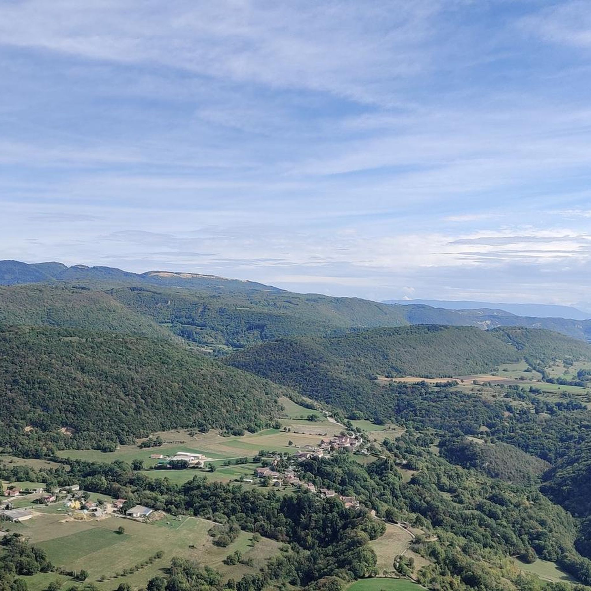
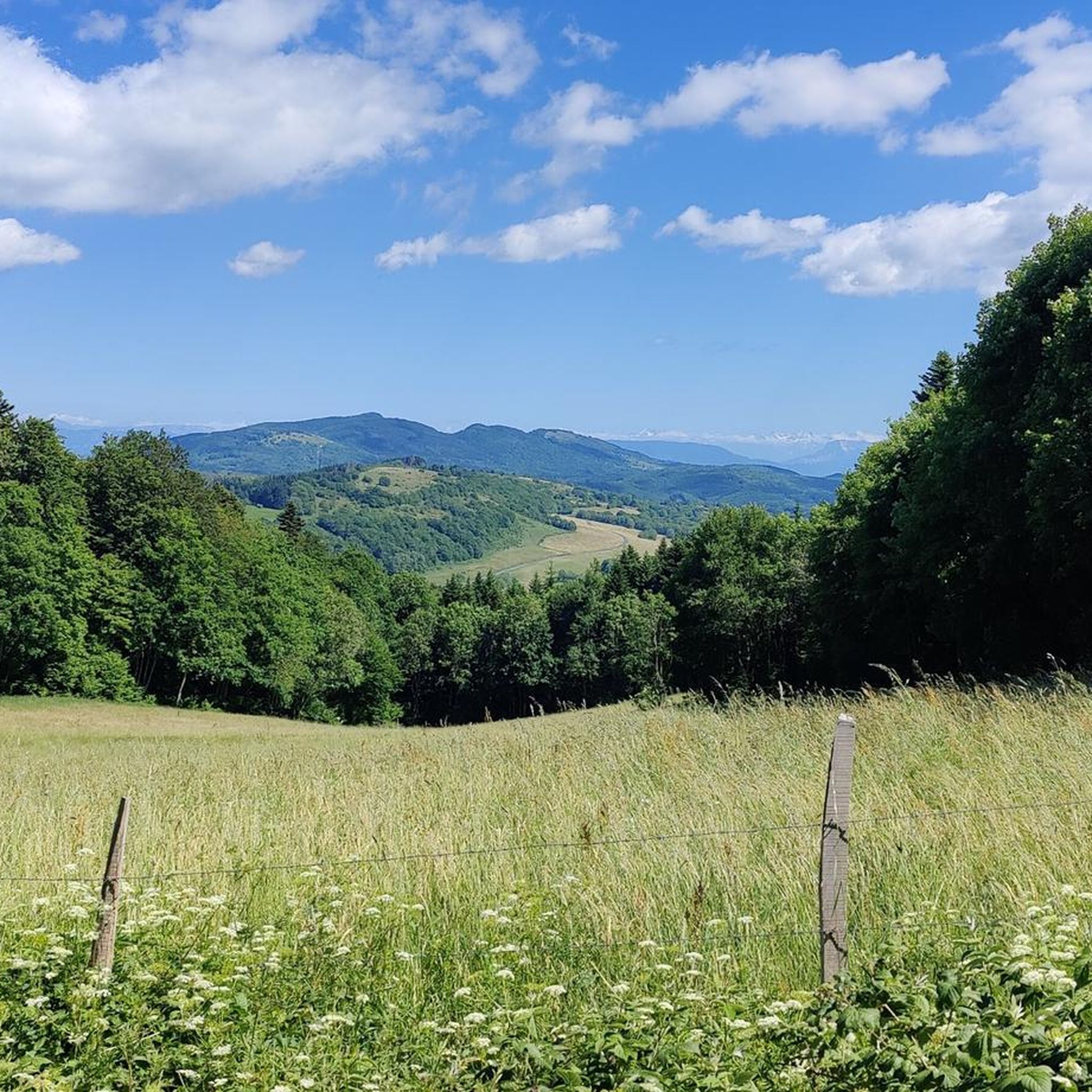
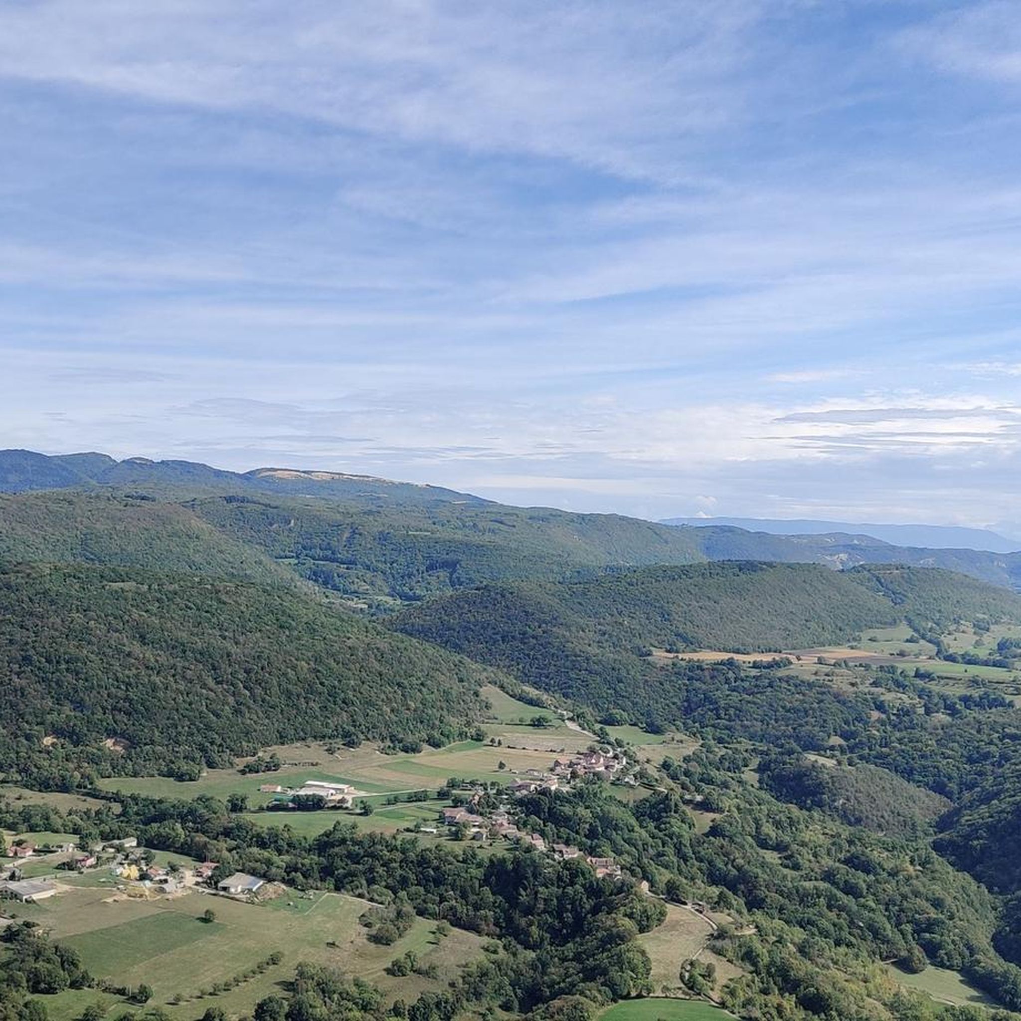
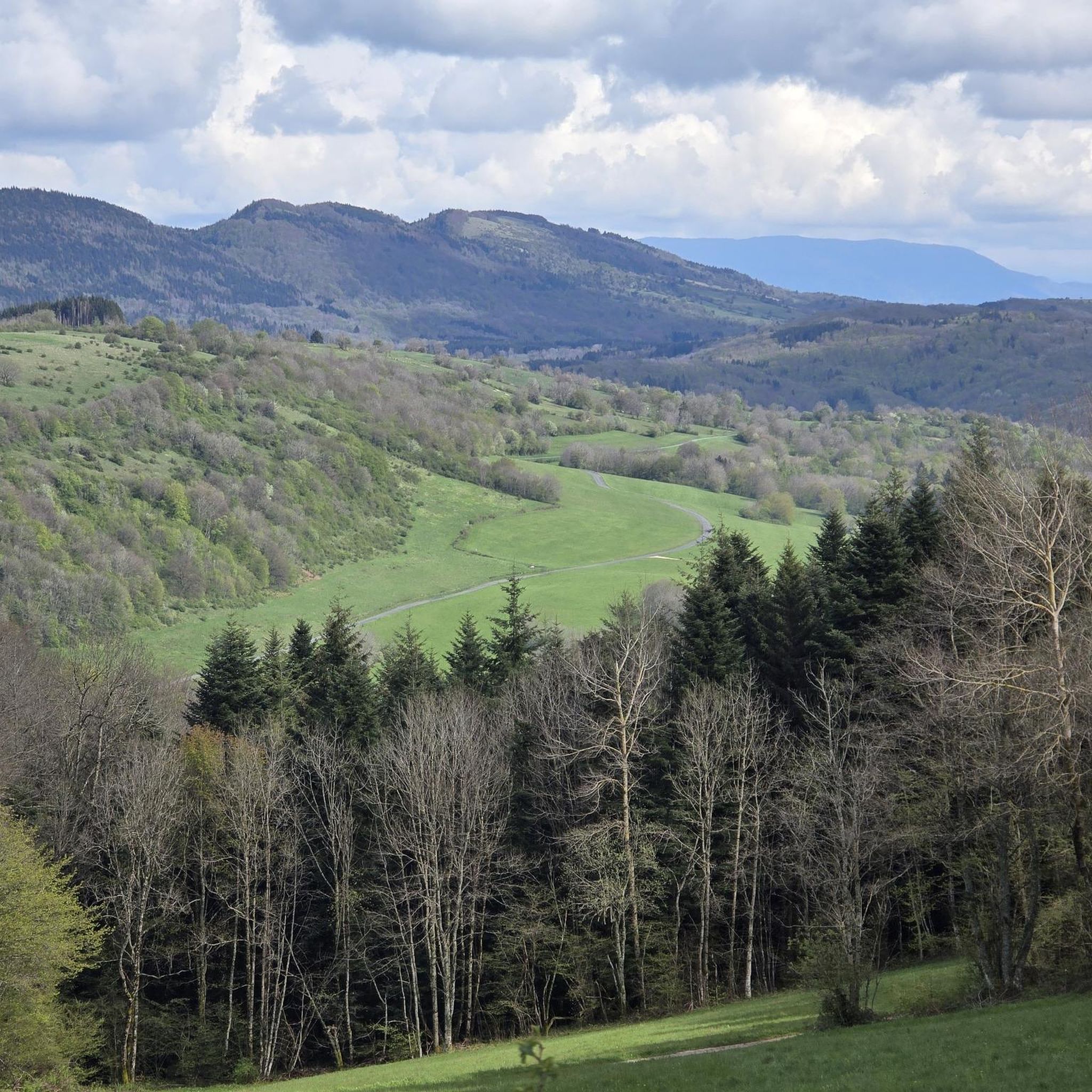
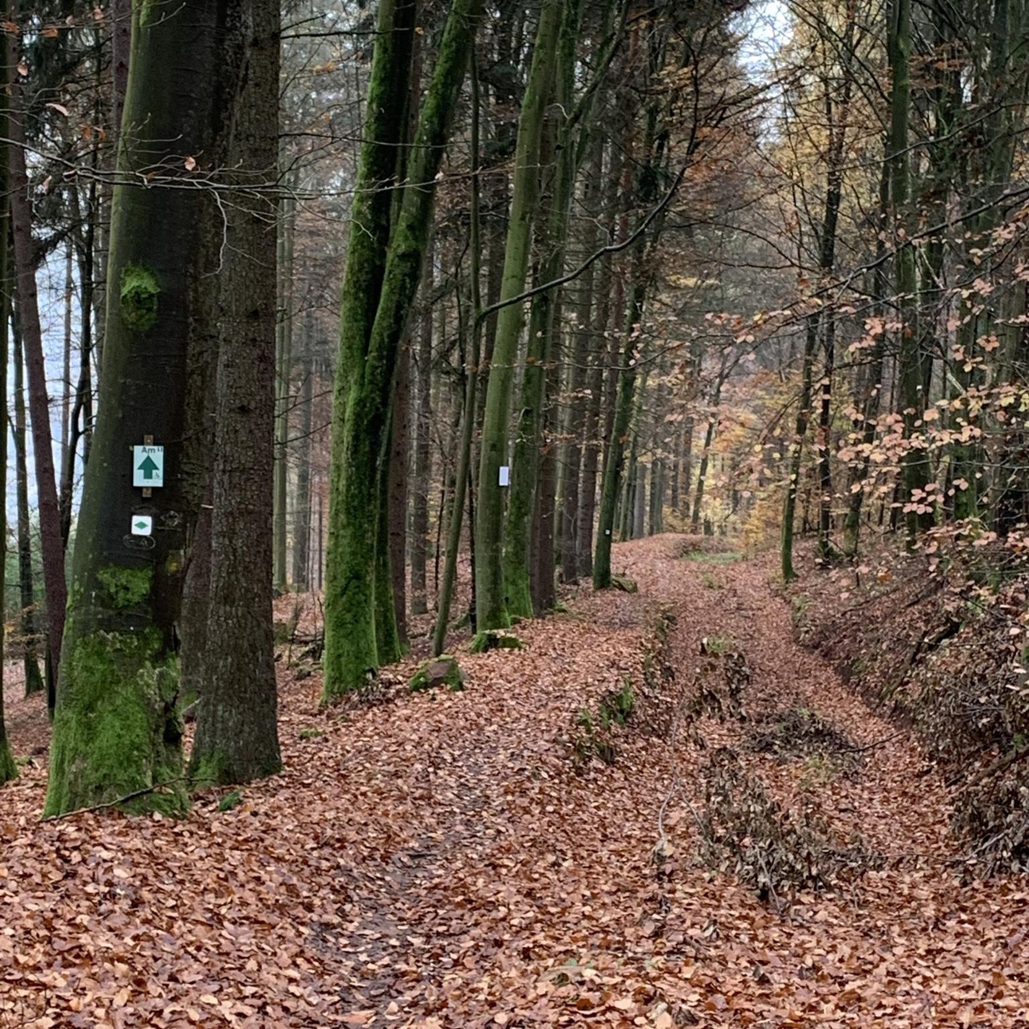
Jogging around Ordonnaz offers a diverse landscape for runners, situated in the Ain department of eastern France. The region features varied terrain, including elevations ranging from 560 to 1,161 meters, providing options from gentler paths to more challenging, hilly routes. Natural features such as waterfalls, serene lakes, and extensive forests characterize the area, with trails often traversing sub-woods, prairies, and fir forests on plateaus. This topography ensures a range of running experiences, from riverside paths to routes with panoramic views.
…Last updated: October 28, 2026
4.0
(2)
25
runners
8.92km
01:10
290m
290m
Moderate run. Good fitness required. Mostly runnable paths. Some sure-footedness required.
5.0
(1)
39
runners
9.03km
01:12
380m
380m
Hard run. Very good fitness required. Mostly paved surfaces.

27
runners
8.29km
01:00
130m
130m
Moderate run. Good fitness required. Mostly paved surfaces.
5.0
(1)
17
runners
20.4km
02:30
510m
520m
Hard run. Very good fitness required. Mostly paved surfaces.
5.0
(1)
14
runners
20.7km
02:30
520m
520m
Hard run. Very good fitness required. Mostly paved surfaces.
Get access to more routes and recommendations from other explorers.
Already have an account?
Our route recommendations are based on thousands of hikes, rides, and runs completed by other people on komoot.
Start today with a free account
Your next adventure awaits.
Tips from the Community

In the middle of a heatwave, the site remains cool and swimming there is a real pleasure; all the more so as it is only accessible after meritorious efforts, given the elevation gain to overcome. To be done on foot or by MTB, and even pushing the bike on certain sections!
0
0

Accessible by a wide path that ends in a hiking singletrack along La Brive, itself stepped with several small waterfalls before arriving at the main waterfall after the confluence with the Grand Pertuis stream. Some ruins of what may appear to be a mill. Some traces of dirt from an uneducated, undernourished, poorly dressed, poorly housed, and poorly heated civilization......
0
0

Wow, what a beautiful waterfall! 🤩🤩
1
0

Officially referenced pass and completely passable by road bike!
1
0

very beautiful waterfall in a shaded place, ideal for a moment of relaxation.
0
0

Anyone who likes to push/carry their eBike up the steepest paths when it starts to rain over muddy, slippery roots, coarse, moss-covered stones and fallen tree trunks will find the perfect tour here. The increase can be found in taking a three-year-old daughter in a child seat. Seriously: The tour is really beautiful, almost a fairytale forest. But by no means advisable with the eBike. Highly recommended as a hiking trail!
0
0

Very, very nice path along the river. Real fairytale forest! But DON'T CYCLE like we do! 🙈🙈🙈
0
0

The pass, located at an altitude of 1,050 meters, offers you a magnificent view of the Alps and the Rhône valley. Like most of the peaks in this region, it sometimes allows you to see Mont Blanc.
2
0
Frequently Asked Questions
How many running routes are available around Ordonnaz?
Ordonnaz offers a wide selection of running routes, with over 115 trails available for you to explore. These routes cater to various fitness levels, from easy jogs to more challenging runs.
What kind of terrain can I expect on the jogging trails in Ordonnaz?
The terrain around Ordonnaz is quite varied, featuring elevations ranging from 560 to 1,161 meters. You'll find paths traversing sub-woods, prairies, and fir forests on plateaus, as well as routes with panoramic views and riverside sections. This diversity ensures a range of running experiences.
Are there any easy running routes suitable for beginners or a relaxed jog?
Yes, Ordonnaz has options for all levels. There are 5 easy routes perfect for beginners or those looking for a relaxed jog. These trails typically have less elevation gain and are shorter in duration, offering a gentle introduction to the region's beauty.
Can I find routes that pass by waterfalls or lakes in the Ordonnaz area?
Absolutely! The region is known for its stunning natural features. You can find routes that lead to impressive waterfalls like the Brive Waterfall, which is featured on the Brive Waterfall – Brive Waterfall loop from Marchamp. Other notable waterfalls in the area include the Cerveyrieu Waterfall, Claire Fontaine Waterfall, and Cascade des Dards. You can also jog around serene lakes such as Lac d'Ambléon or the Lac de Chailloux – Château de Beauretour loop from Contrevoz.
What do other runners say about the jogging routes in Ordonnaz?
The running routes in Ordonnaz are highly regarded by the komoot community, boasting an impressive average rating of 4.8 stars from over 20 reviews. Runners often praise the varied terrain, the beautiful natural scenery, and the well-maintained paths that make for an enjoyable experience.
Are there any long-distance or challenging running trails for experienced runners?
Yes, for experienced runners seeking a challenge, Ordonnaz offers 49 difficult routes. These trails often feature significant elevation changes and cover longer distances. An example is the La Croix de la Roche – Petit Pertuis Pass loop from Innimond, which spans over 20 km with considerable ascent.
Are there any circular running routes available?
Many of the running routes in Ordonnaz are designed as loops, offering convenient circular paths that bring you back to your starting point. For instance, the popular Le Mont Pela Circuit from Innimond is a moderate loop trail.
What are some notable landmarks or points of interest I might encounter on a run?
Beyond the natural beauty, you might encounter various points of interest. The region features several mountain passes like the Petit Pertuis Pass and Fosses Pass. You could also discover unique geological formations such as La Roche Percée, adding an element of discovery to your run.
What is the average duration for a running route in Ordonnaz?
The duration of running routes in Ordonnaz varies greatly depending on the distance and difficulty. For example, a moderate route like the Le Mont Pela Circuit from Innimond typically takes around 1 hour 10 minutes, while longer, difficult trails can take several hours.
Is Ordonnaz suitable for trail running, or are the paths mostly paved?
Ordonnaz is an excellent destination for trail running. The region's diverse landscape means you'll find a mix of natural paths, forest trails, and unpaved tracks. While some sections might be on quieter roads, the emphasis is on natural surfaces, making it ideal for off-road running.
Are there any routes that offer panoramic views of the Bugey region?
Yes, the varied topography of Ordonnaz, with its elevations and plateaus, provides many opportunities for stunning panoramic views. Routes often lead to viewpoints overlooking the picturesque Bugey region, allowing you to enjoy breathtaking vistas during your run.
Most popular attractions around Ordonnaz

Get inspired with the komoot mobile app


Explore more
Browse the best Running Trails & Routes in other regions.
