The best gravel rides around Saules
4.3
(21)
140
riders
26
rides
Gravel biking around Saules offers a diverse landscape characterized by rolling terrain, river valleys, and forested sections. The region features a network of trails that often follow historical paths, such as old railway lines, and connect to local landmarks like castles. Riders can expect varied surfaces, including compacted gravel, dirt tracks, and paved sections, suitable for gravel bikes. The terrain includes moderate ascents and significant elevation gains on some routes.
Best gravel bike trails around Saules
- The most popular gravel…
Last updated: November 2, 2026
4.5
(2)
23
riders
35.7km
02:35
530m
530m
Hard gravel ride. Very good fitness required. Mostly paved surfaces.
4.0
(1)
8
riders
36.0km
02:36
580m
580m
Hard gravel ride. Very good fitness required. Mostly paved surfaces.

4.0
(1)
9
riders
17.3km
01:14
170m
170m
Moderate gravel ride. Good fitness required. Mostly paved surfaces.
11
riders
83.7km
06:40
1,610m
1,610m
Hard gravel ride. Very good fitness required. Mostly paved surfaces.
4.0
(1)
6
riders
40.2km
03:17
710m
710m
Hard gravel ride. Very good fitness required. Mostly paved surfaces.
Get access to more routes and recommendations from other explorers.
Already have an account?
Our route recommendations are based on thousands of hikes, rides, and runs completed by other people on komoot.
Start today with a free account
Your next adventure awaits.

Tips from the Community

Not suitable for children. Very dangerous, but beautiful. Recommended for adults who are not afraid of heights.
0
0

Typically picturesque, worth seeing French town
0
0


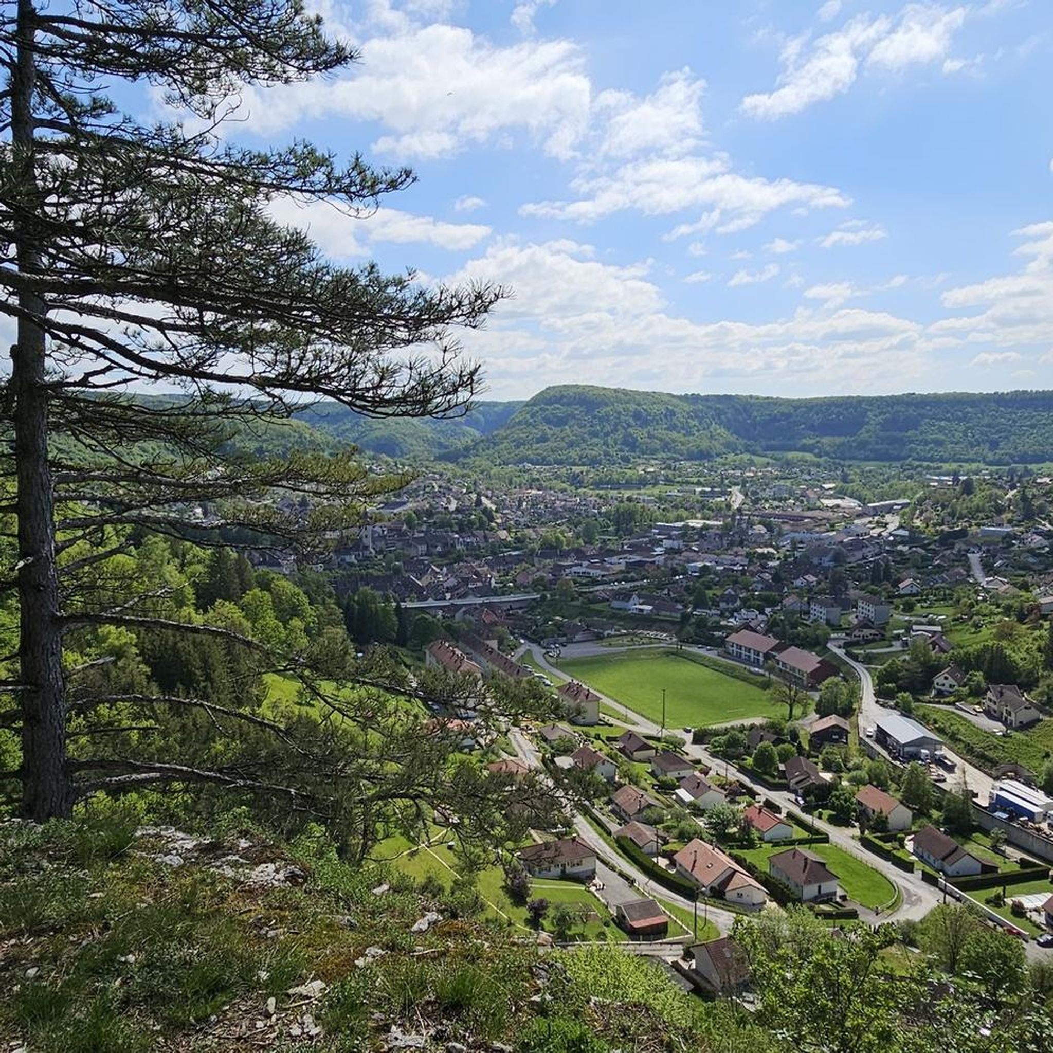
Vulliafans with around 700 inhabitants in the Doubs department in the Bourgogne-Franche-Comté region - a magical place with the Pont Vieux - this bridge with its 3 arches was built in the 17th century. Further into the town center there are numerous town and farm houses that were built in the characteristic style of Franche-Comté in the 16th to 18th centuries. One of the oldest houses is the former manor house La Forteresse from the 14th/15th century. The really beautiful thing is the authentic flair.
0
0
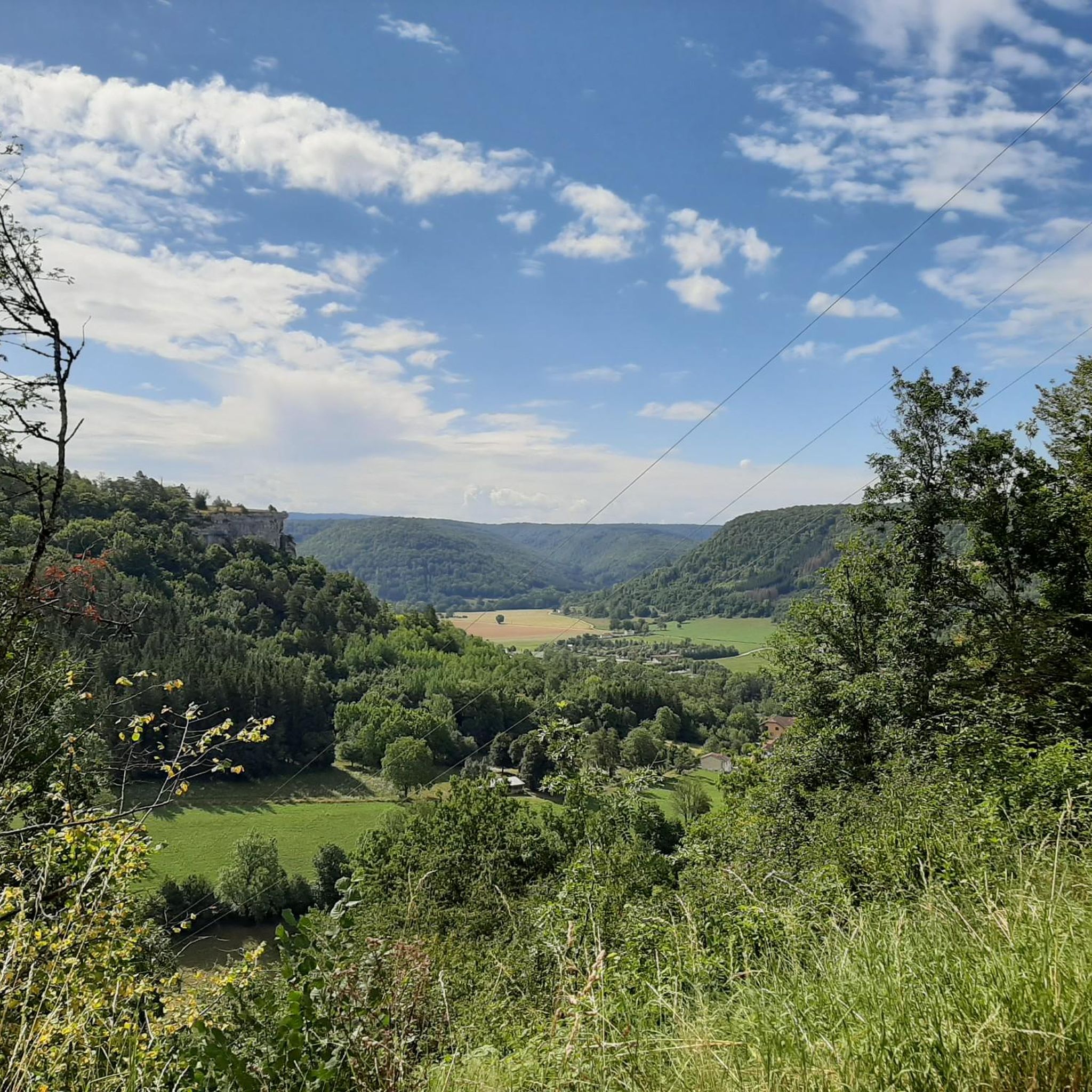
A beautiful valley - very relaxing to drive. La Roche Bottine is the right-hand rock edge that you see above Ornans. It is on the right of Ornans towards Lahier, above the D492 The left-hand rock edge is the Belvédére de Notre-Dame du Mont. Curious rock... its special shape inspired its name: La Roche Bottine
1
0

The arch of the old bridge over the Loue is a historical vestige located in Vuillafans. This arch was perhaps built in the 14th century. During the construction of the N 67, several arches were covered. The bridge collapsed in 1916, but one arch was preserved as a souvenir. The site, including the Loue waterfalls, the arch of the old bridge and their surroundings, was listed as a historical monument on 4 January 1943.
6
0
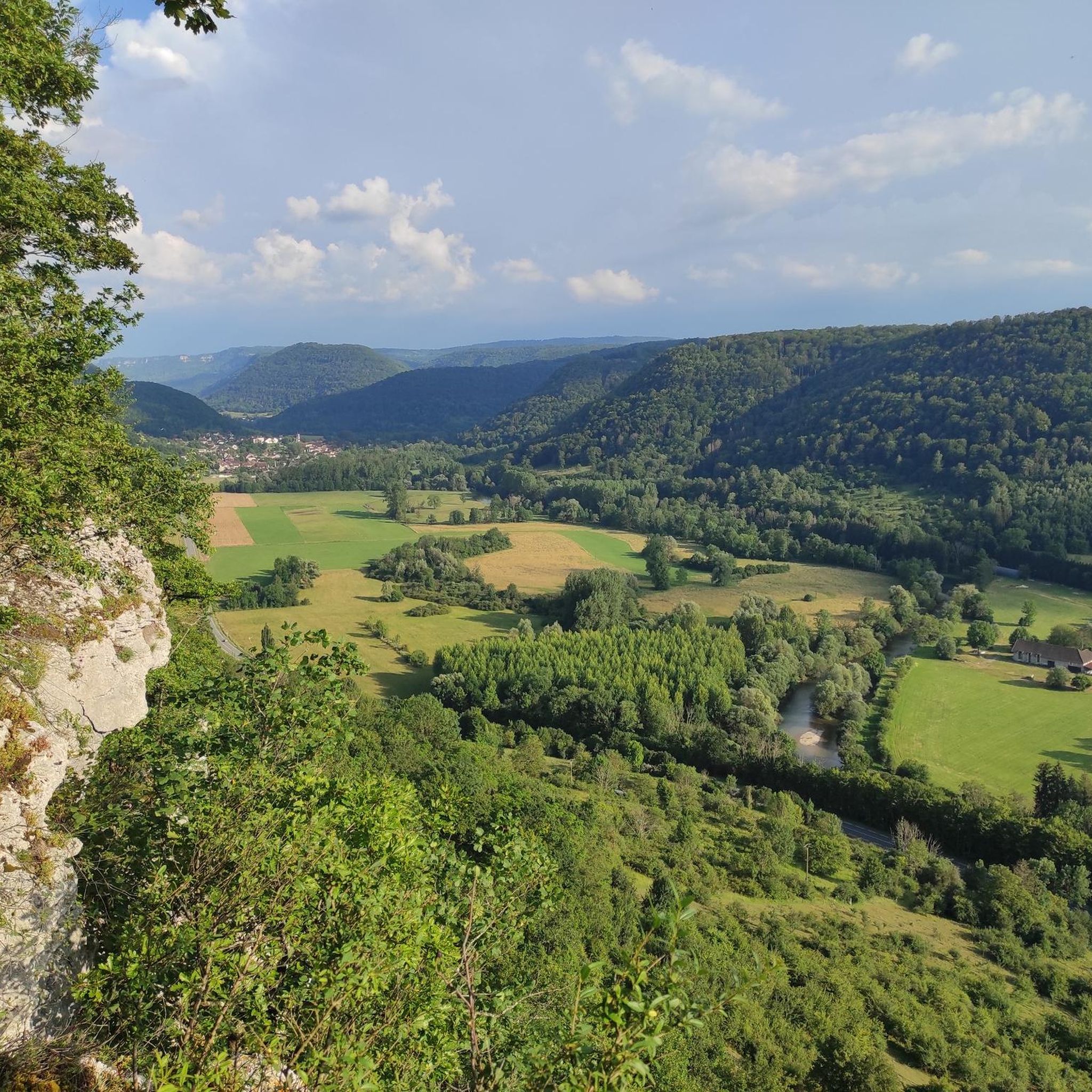
Here you have a view of three rock masses. The question is which one is the Roche Bottines
6
0
Frequently Asked Questions
How many gravel bike trails are available around Saules?
There are over 25 gravel bike trails around Saules, offering a variety of experiences for different skill levels. You'll find routes ranging from moderate to difficult.
Are there any easy gravel bike trails suitable for beginners in Saules?
Yes, Saules offers a few easier gravel bike trails. For instance, the Old railway bridge – Ornans loop from L'Hôpital-du-Grosbois is a moderate route that follows a former railway line, making it a good option for those looking for a less strenuous ride.
What kind of terrain can I expect on gravel bike routes in Saules?
The terrain around Saules is diverse, featuring rolling landscapes, river valleys, and forested sections. You'll encounter varied surfaces, including compacted gravel, dirt tracks, and some paved sections, often following historical paths.
Are there challenging gravel bike routes for experienced riders?
Absolutely. Saules has several difficult routes for experienced gravel bikers. The Cléron Castle – Ornans loop from Montgesoye, for example, is a difficult 22.5-mile (36.2 km) path with significant elevation gain, passing by historical sites.
What are some notable landmarks or attractions I can see along the gravel bike trails?
Many routes pass by interesting landmarks. You can cycle past the historic Cléron Castle or the Old railway bridge. The region also features natural highlights like the Vau Waterfall and the View of Roche Bottine.
Are there any routes that follow river valleys?
Yes, the region is known for its river valleys. The Loue River – Ornans loop from Montgesoye is a popular 20-mile (32.2 km) trail that leads directly through the picturesque Loue River valley.
What do other gravel bikers say about the trails in Saules?
The gravel biking routes in Saules are highly rated by the komoot community, with an average score of 4.3 stars from over 10 reviews. Riders often praise the varied terrain, the scenic river valleys, and the historical points of interest along the way.
Are there any long-distance gravel bike routes in Saules?
For those seeking a longer adventure, the Loue River – The Loue loop from Ornans is a challenging 51.1-mile (82.3 km) route with significant elevation gain, offering an extensive exploration of the area.
Can I find circular gravel bike routes around Saules?
Many of the gravel bike trails in Saules are designed as loops, allowing you to start and finish at the same point. Examples include the Loue River – Ornans loop from Ornans and the Old railway bridge – Ornans loop from L'Hôpital-du-Grosbois.
What is the typical length of gravel bike trails in Saules?
Gravel bike trails in Saules vary in length. You can find routes like the Old railway bridge – Ornans loop at around 18 miles (29 km), up to longer, more challenging options such as the Loue River – The Loue loop which spans over 51 miles (82 km).
Most popular attractions around Saules

Get inspired with the komoot mobile app


Explore more
Browse the best Gravel rides in other regions.
