The best walks and hikes around Saules
4.4
(525)
2,791
hikers
124
hikes
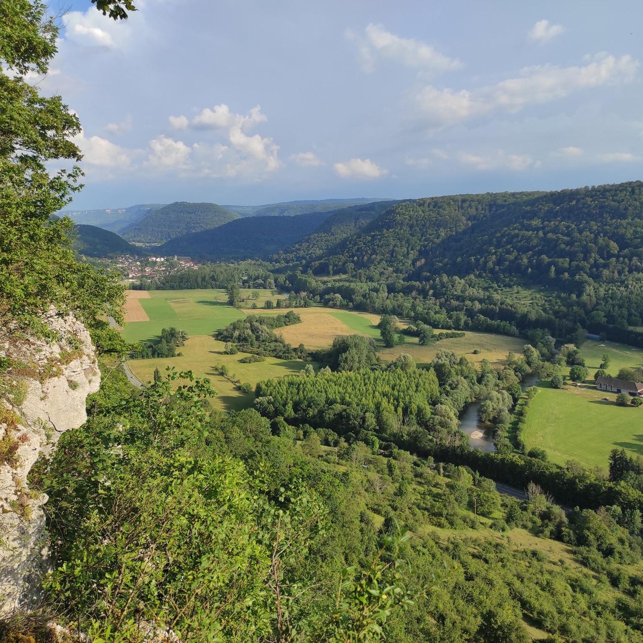
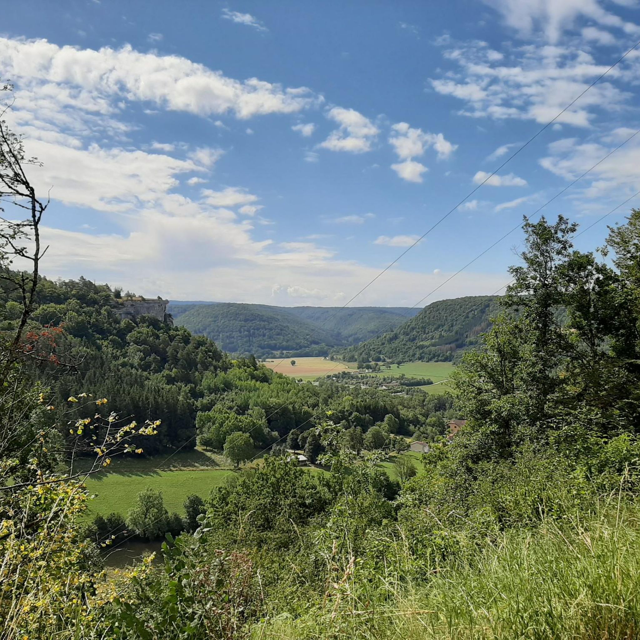
Hiking around Saules offers a diverse landscape characterized by rolling hills, dense woodlands, and river valleys in the Doubs department of France. The region features a mix of gentle paths suitable for easy hikes Saules, alongside more challenging routes with moderate elevation changes. Trails often lead to scenic viewpoints and through natural formations, providing varied terrain for outdoor exploration. This area is well-suited for those seeking natural beauty and accessible hiking trails.
Best hiking trails around Saules
- The most popular…
Last updated: September 25, 2026
4.3
(3)
16
hikers
5.57km
01:46
230m
230m
Easy hike. Great for any fitness level. Easily-accessible paths. Suitable for all skill levels.
4.5
(17)
60
hikers
11.0km
03:06
220m
220m
Moderate hike. Good fitness required. Mostly accessible paths. Sure-footedness required.

3.8
(9)
54
hikers
10.7km
03:15
350m
350m
Moderate hike. Good fitness required. Easily-accessible paths. Suitable for all skill levels.
3.9
(7)
46
hikers
10.7km
03:03
250m
250m
Moderate hike. Good fitness required. Easily-accessible paths. Suitable for all skill levels.
4.4
(5)
44
hikers
15.0km
04:21
350m
350m
Moderate hike. Good fitness required. Mostly accessible paths. Sure-footedness required.
Get access to more routes and recommendations from other explorers.
Already have an account?
Our route recommendations are based on thousands of hikes, rides, and runs completed by other people on komoot.
Start today with a free account
Your next adventure awaits.

Tips from the Community

Old railway line
0
0

Hut in the picture is not a shelter
0
0

beautiful view
0
0

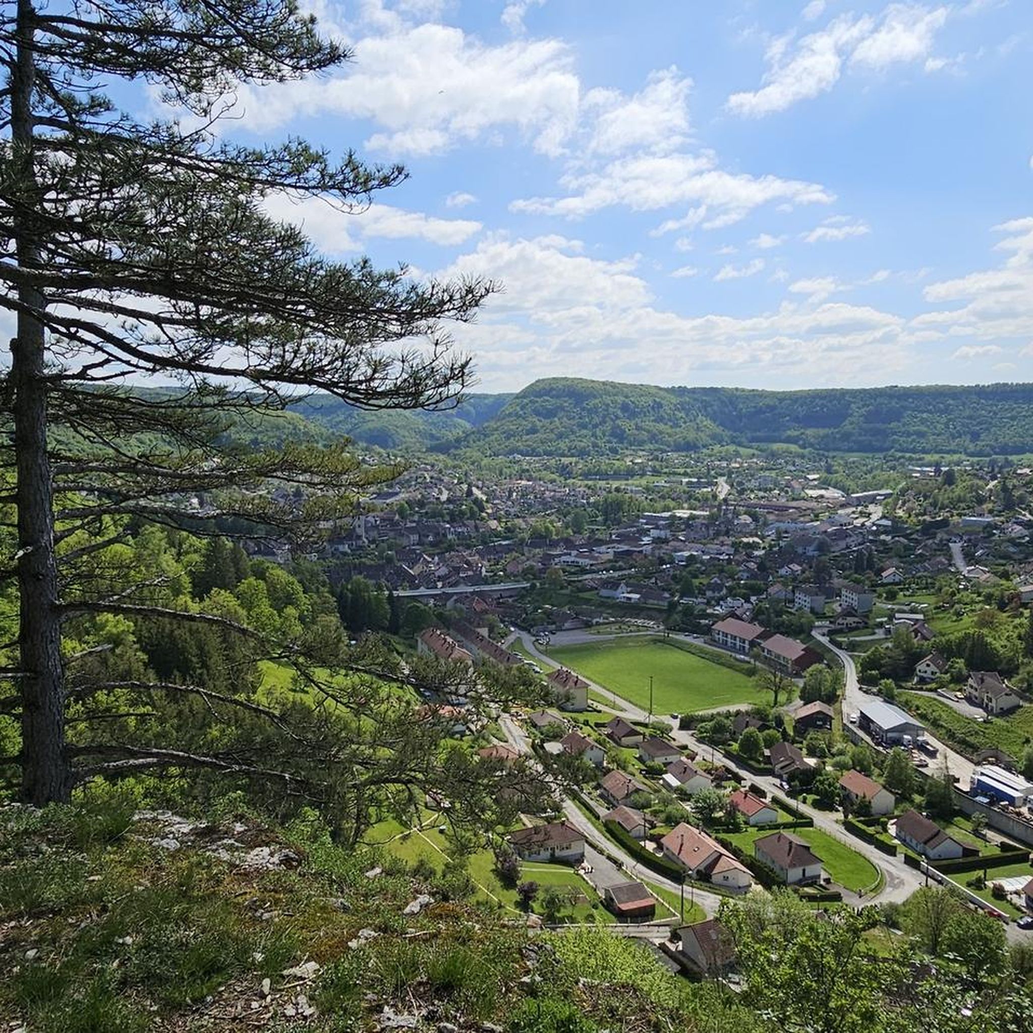
Parking and picnic possible at the departure point. From the start of this hike, you leave Ornans village to head towards the Roche du Mont and the via ferrata site, Notre Dame du Mont, the Roche des Pins, the Chateau, the Belvédère and the old chapel. St Georges, then take the GR 535 to go back down to Ornans via the Fontaine aux Vipères and the Chevalet Courbet. Finally, a possible stop when passing through the city center and returning to the parking lot.
0
0

Junction of the D280 with the Voie Verte Du Plateau Du Doubs À Ornans. The voie Verte is located here on an old railway line.
8
0

Impeccable tarmac section for all types of cycling through the forest (uphill). There is a small stream/river on the right - La Brème.
3
0
Frequently Asked Questions
How many hiking trails are available around Saules?
There are over 120 hiking trails around Saules, offering a wide range of options for different skill levels and preferences. You'll find everything from gentle strolls to more challenging ascents through the region's diverse landscape.
What types of hiking trails can I expect in Saules?
The trails in Saules are characterized by rolling hills, dense woodlands, and river valleys in the Doubs department. You can expect a mix of easy paths, moderate routes with varied terrain, and a few more difficult trails, often leading to scenic viewpoints and natural formations.
Are there easy hiking trails suitable for beginners or families in Saules?
Yes, Saules offers over 50 easy hiking trails perfect for beginners or families. A great option is the Rocher du Tourbillon — loop via Bonnevaux-le-Prieuré, an easy 3.5-mile (5.6 km) circular route with gentle ascents through forested areas.
Are there any circular hiking routes around Saules?
Many of the trails around Saules are circular, allowing you to start and end at the same point. Popular circular routes include the Rocher du Tourbillon loop and the Gougnot Viewpoint – Belvedere de la roche botine loop from Saules.
What interesting natural sights can I see along the hiking trails in Saules?
The region boasts several natural attractions. You can discover the Rocher du Tourbillon, the unique Column Rock, and the scenic View of Roche Bottine. There's also the beautiful Vau Waterfall to explore.
Are there any historical or cultural landmarks near the hiking routes?
Yes, hikers can explore nearby historical sites and charming settlements. Consider visiting the picturesque town of Ornans, the impressive Cléron Castle, or the remnants of the Former tile factory of Combes Punay.
What do other hikers enjoy most about the trails in Saules?
The trails in Saules are highly rated by the komoot community, with an average score of 4.4 stars from over 380 reviews. Hikers often praise the varied terrain, the quiet woodlands, and the scenic viewpoints that offer beautiful vistas of the surrounding countryside.
Is Saules a good destination for dog-friendly hiking?
While specific regulations can vary, generally, the natural trails and woodlands around Saules are welcoming for dogs, provided they are kept under control, especially near wildlife or livestock. Always carry water for your pet and clean up after them.
What is the best time of year to go hiking in Saules?
The best time for hiking in Saules is typically from spring to autumn (April to October), when the weather is mild and the natural scenery is at its most vibrant. Spring brings wildflowers, while autumn offers beautiful foliage. Summer is also pleasant, though some trails might be busier.
Are there options for longer, more challenging hikes in Saules?
Yes, for those seeking a greater challenge, Saules offers several moderate to difficult routes. An example is the Grotte de Fontaine – View of the Château d'Ornans loop from Bonnevaux-le-Prieuré, a difficult 11.4-mile (18.3 km) trail with significant elevation changes.
Where can I find parking for hiking trails in Saules?
Parking is generally available at the start points of many popular trails and in the villages surrounding Saules, such as Bonnevaux-le-Prieuré or Ornans. Look for designated parking areas or roadside spots where permitted, especially near trailheads.
Can I reach hiking trails in Saules using public transport?
While Saules is a smaller commune, some regional bus services might connect to nearby larger towns like Ornans or Besançon, from which you could potentially access certain trailheads. However, for direct access to many routes, a car is often the most convenient option.
Most popular attractions around Saules

Get inspired with the komoot mobile app


Explore more
Browse the best Hikes in other regions.
