The best gravel rides around Dambenois
4.4
(16)
48
riders
12
rides
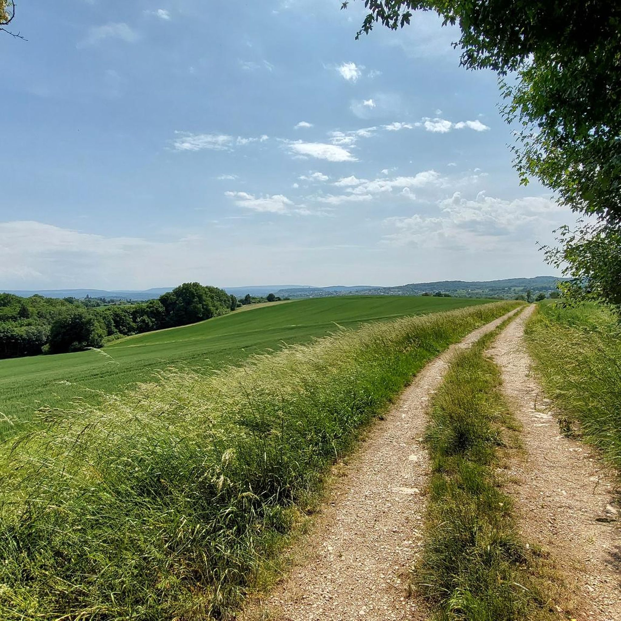
Gravel biking around Dambenois offers a diverse landscape for riders, characterized by a mix of river valleys, open countryside, and forested sections. The region features varied terrain, including both flatter sections suitable for relaxed rides and areas with gentle ascents and descents. These gravel bike trails provide opportunities to explore the local environment on unpaved and paved surfaces, often following canal towpaths or quiet rural roads.
Best gravel bike trails around Dambenois
- The most popular gravel bike trail is Savour…
Last updated: November 2, 2026
4.0
(6)
5
riders
23.2km
01:45
130m
130m
Moderate gravel ride. Some segments of this route may be unpaved and difficult to ride.
198km
16:25
2,950m
3,030m
Hard gravel ride. Very good fitness required. You may need to push your bike for some segments of this route.

5.0
(2)
12
riders
36.9km
01:59
150m
150m
Moderate gravel ride. Good fitness required. Mostly paved surfaces.
4.7
(3)
5
riders
31.5km
02:11
290m
290m
Moderate gravel ride. Good fitness required. Mostly paved surfaces.
4.0
(1)
7
riders
50.3km
02:52
410m
410m
Moderate gravel ride. Good fitness required. Mostly paved surfaces.
Get access to more routes and recommendations from other explorers.
Already have an account?
Our route recommendations are based on thousands of hikes, rides, and runs completed by other people on komoot.
Start today with a free account
Your next adventure awaits.
Tips from the Community

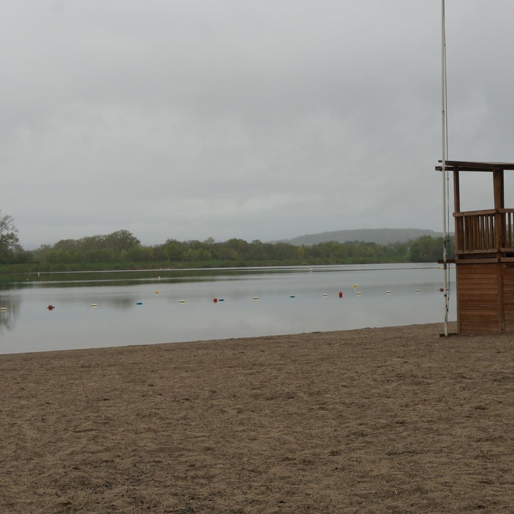
This large lake is a popular stop along the cycling routes around Belfort, with beautiful views over the water and the surrounding nature.
7
0
The Étang du Malsaucy (often also called Lac du Malsaucy) is, with an area of 55 hectares, the largest lake in the French department of Territoire de Belfort. It is nestled in the Parc naturel régional des Ballons des Vosges, spread across the municipalities of Évette-Salbert, Lachapelle-sous-Chaux, and Sermamagny. Originally built at the end of the 15th century for fish farming, it is now one of the most important recreational and natural areas in the region.
7
0
A comfortable, car-free and beautiful cycle path to Lac du Malsaucy, one of the most beautiful recreational areas of the Territoire de Belfort.
1
0

Besides the cars, the museum also showcases the astonishing variety of other products from Peugeot.
3
0

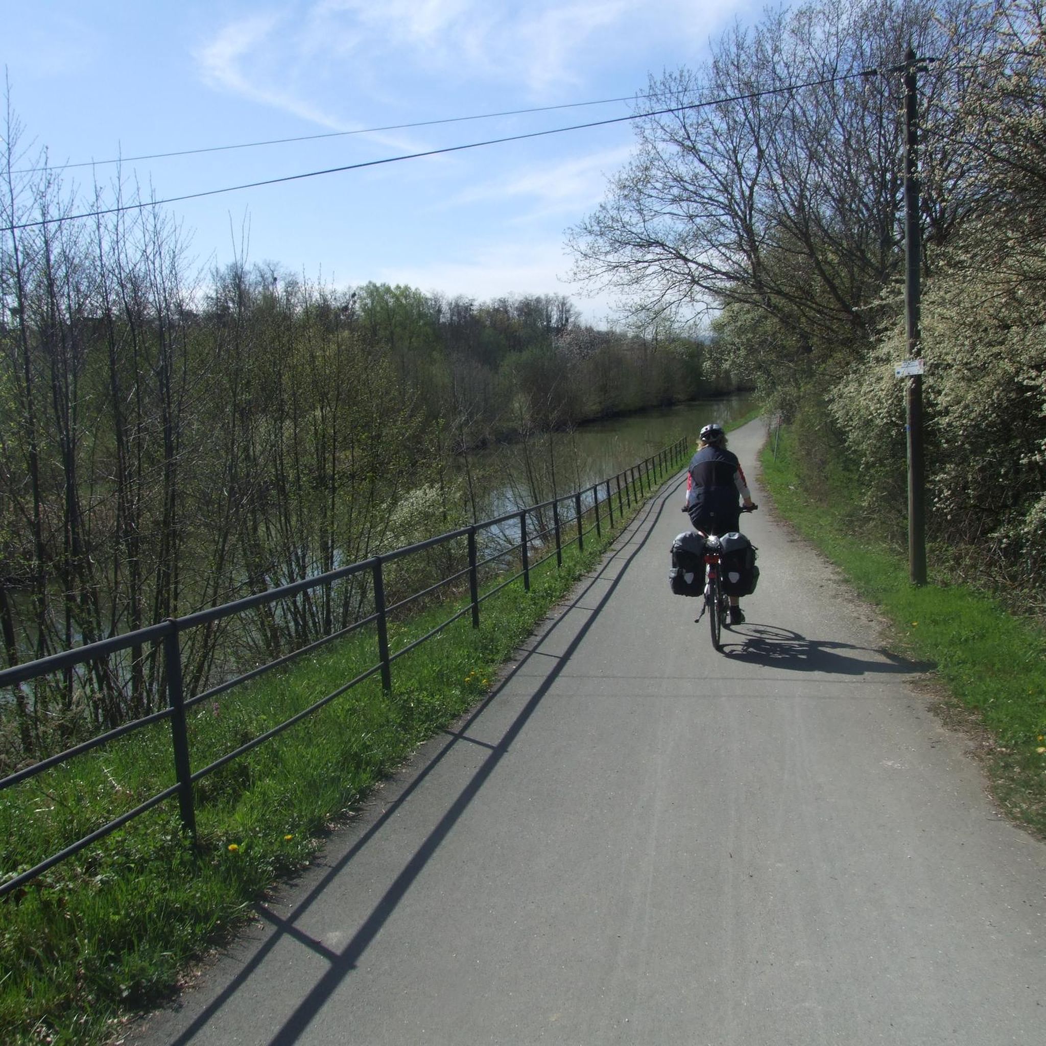
A varied trip along the Canal de Montbéliard à la Haut Saône
0
0

Great bike paths, very beautiful area.
0
0

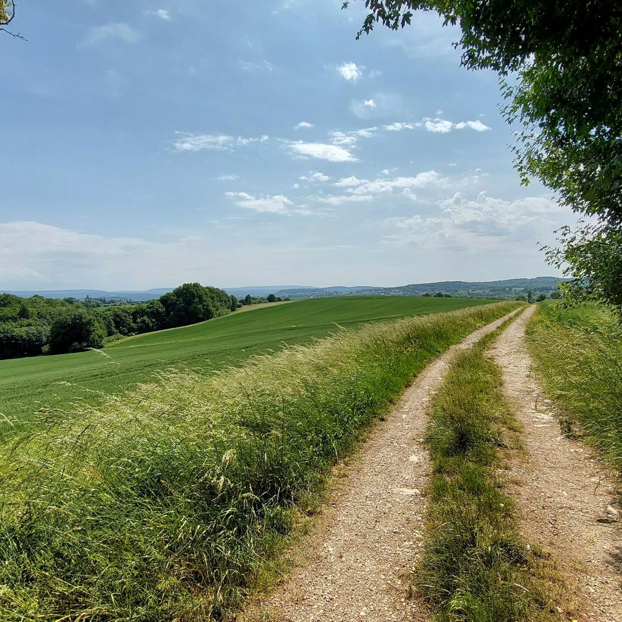
very beautiful route!!! drive slowly!! watch out for pedestrians
0
1
Frequently Asked Questions
How many gravel bike trails are available in Dambenois?
Dambenois offers a good selection of gravel bike trails, with over 20 routes available for exploration. These routes cater to various skill levels, from easy to difficult.
Are there easy gravel bike routes suitable for beginners in Dambenois?
Yes, Dambenois has options for beginners. While most routes are moderate, there is at least one easy route. The region's landscape includes flatter sections and river paths, which are ideal for relaxed rides. Consider routes like EV6 and bridge over the Allan – La Coulée Verte loop from Morvillars, which follows green corridors and is relatively flat.
What is the typical length and duration of gravel bike trails in Dambenois?
The gravel bike trails in Dambenois vary significantly in length and duration. You'll find routes ranging from around 14 miles (23 km) to much longer, multi-day adventures like The benefit of Doubs, which is nearly 123 miles (198 km). Shorter routes can take under 2 hours, while longer ones can span many hours or even days.
Are there challenging gravel bike routes for experienced riders in Dambenois?
Absolutely. For experienced gravel bikers seeking a challenge, Dambenois offers several difficult routes. There are 5 routes classified as difficult, featuring more significant elevation changes and longer distances. An example is The benefit of Doubs, which includes substantial ascents and descents over its long course.
When is the best time of year to go gravel biking in Dambenois?
The best time for gravel biking in Dambenois is generally from spring through autumn (April to October). During these months, the weather is typically mild, and the trails are in good condition. Winter can bring colder temperatures and potentially challenging conditions on unpaved sections.
What kind of terrain can I expect on gravel bike trails around Dambenois?
Gravel biking around Dambenois offers a diverse landscape. You can expect a mix of river valleys, open countryside, and forested sections. The terrain includes both flatter, relaxed sections and areas with gentle ascents and descents, utilizing both unpaved gravel paths and paved surfaces.
What do other gravel bikers enjoy most about gravel biking in Dambenois?
The komoot community highly rates the gravel biking experience in Dambenois, with an average score of 4.7 stars from over 20 reviews. Riders often praise the varied terrain, the scenic river paths, and the opportunities to explore both natural landscapes and charming towns. Many appreciate the well-maintained routes and the mix of paved and unpaved sections.
Are there any scenic viewpoints or natural attractions along the gravel routes?
Yes, the region offers several scenic spots and natural attractions. You can explore the Montbéliard–Haute-Saône Canal beside the Allan or ride along the Chemin de Halage Allenjoie, EV6. These routes often provide picturesque views of the local waterways and green landscapes.
What historical landmarks can I see while gravel biking near Dambenois?
Dambenois is surrounded by interesting historical landmarks. You can visit the impressive Citadel of Belfort, explore Fort de Vézelois, or see the Fort du Mont Bart. The town of Montbéliard itself is also a notable settlement with historical significance.
Are there loop trails available for gravel biking in Dambenois?
Yes, many of the gravel bike routes in Dambenois are designed as loops, offering convenient starting and ending points. For instance, the popular The Boundary Trail – Impressive TGV bridge loop from Nommay is a great example of a circular route that takes you through varied terrain.
What should I bring for gravel biking in Dambenois?
Given the varied terrain and potential for longer rides, it's advisable to bring appropriate gear. This includes a well-maintained gravel bike, a helmet, sufficient water and snacks, a repair kit, and navigation tools. Depending on the season, layers of clothing are recommended to adapt to changing weather conditions.
Most popular attractions around Dambenois

Get inspired with the komoot mobile app


Explore more
Browse the best Gravel rides in other regions.
