The best gravel rides around Andelnach
4.6
(22)
130
riders
35
rides
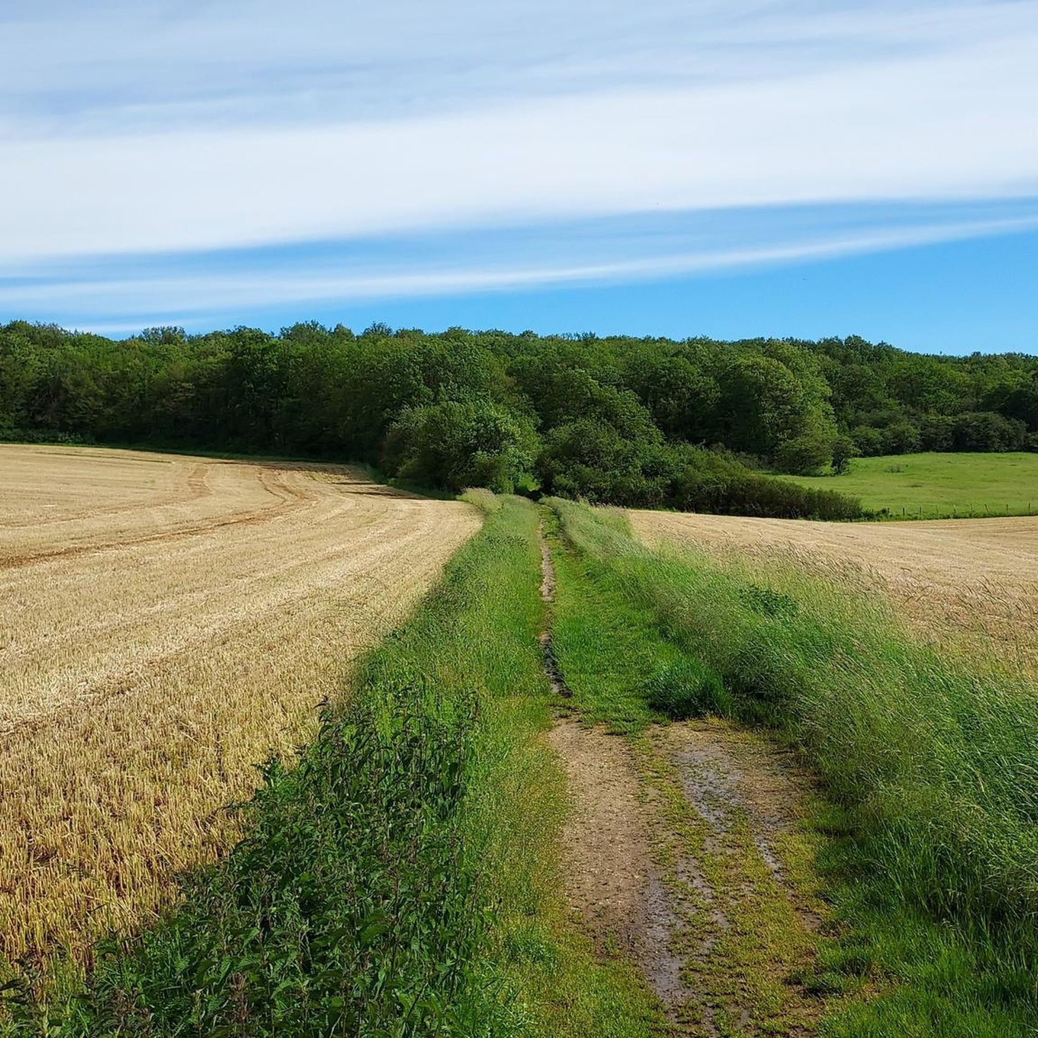
Gravel biking around Andelnach offers a network of routes suitable for exploring the region's varied terrain. The area features a mix of natural paths, forest tracks, and rural roads, providing diverse surfaces for gravel cyclists. The landscape is characterized by the Rhine River valley and the volcanic Eifel region, offering both riverside paths and volcanic hills. These routes often traverse rolling landscapes and natural surroundings, catering to different skill levels.
Best gravel bike trails around Andelnach
- The most popular gravel…
Last updated: October 6, 2026
5.0
(4)
28
riders
100km
05:57
740m
740m
Hard gravel ride. Very good fitness required. Mostly paved surfaces. Suitable for all skill levels.
5.0
(3)
11
riders
31.8km
01:57
240m
240m
Moderate gravel ride. Good fitness required. Mostly paved surfaces. Suitable for all skill levels.

5.0
(3)
17
riders
33.9km
02:06
240m
240m
Hard gravel ride. Good fitness required. You may need to push your bike for some segments of this route.
4.5
(2)
11
riders
36.9km
02:11
190m
190m
Hard gravel ride. Good fitness required. You may need to push your bike for some segments of this route.
5.0
(2)
5
riders
34.0km
02:12
280m
280m
Moderate gravel ride. Good fitness required. Mostly paved surfaces. Suitable for all skill levels.
Get access to more routes and recommendations from other explorers.
Already have an account?
Our route recommendations are based on thousands of hikes, rides, and runs completed by other people on komoot.
Start today with a free account
Your next adventure awaits.

Tips from the Community

A varied trip along the Canal de Montbéliard à la Haut Saône
0
0


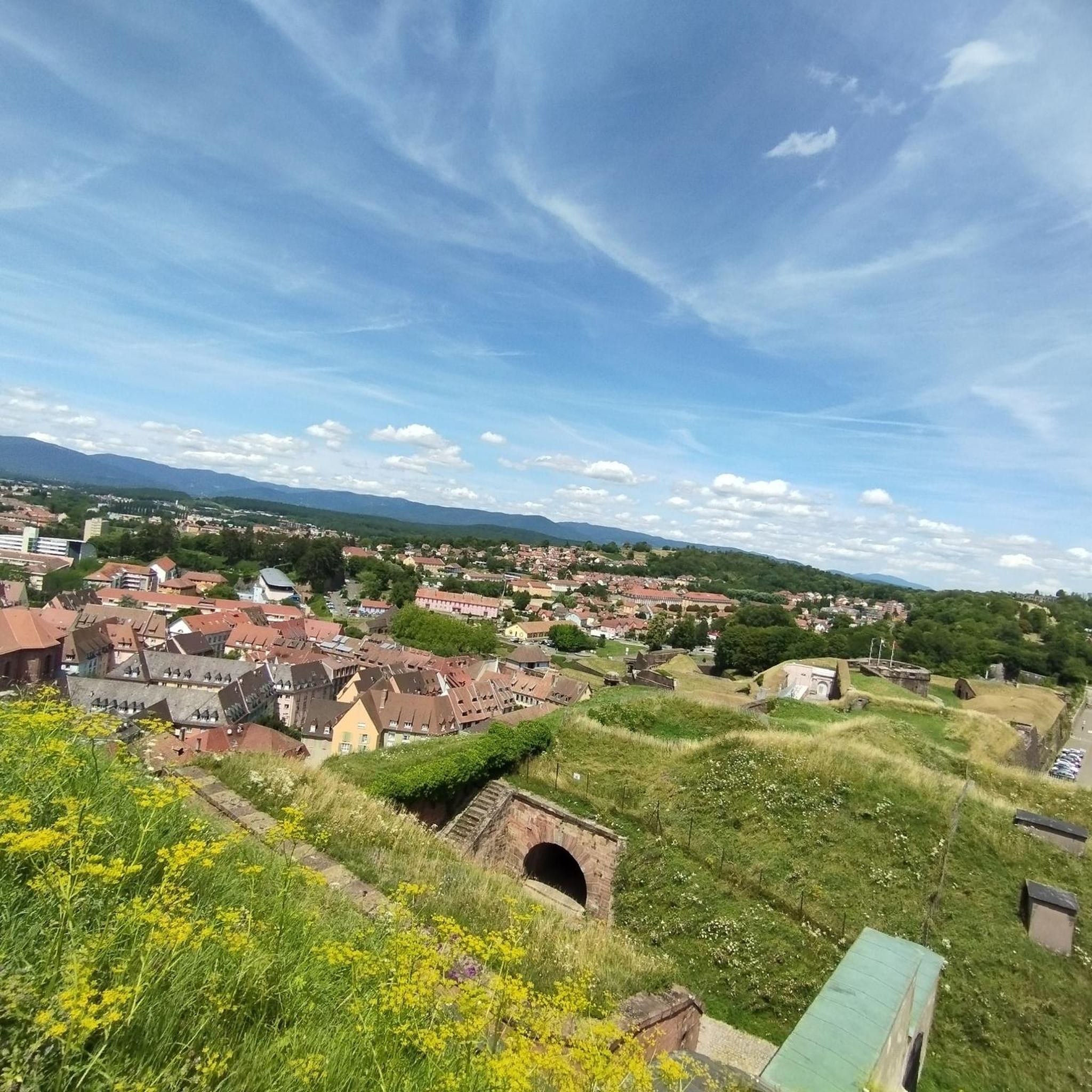
Beautiful sculpture and coat of arms of Belfort, below the fortress.
0
0

A beautiful green paradise between the highway and the city. The birdsong even drowns out the highway noise.
0
0

A beautiful strip of nature with waters and wet meadows, between the motorway and the city, for relaxation and enjoyment of nature.
3
0

Very well maintained track, not like the greenway!
0
0

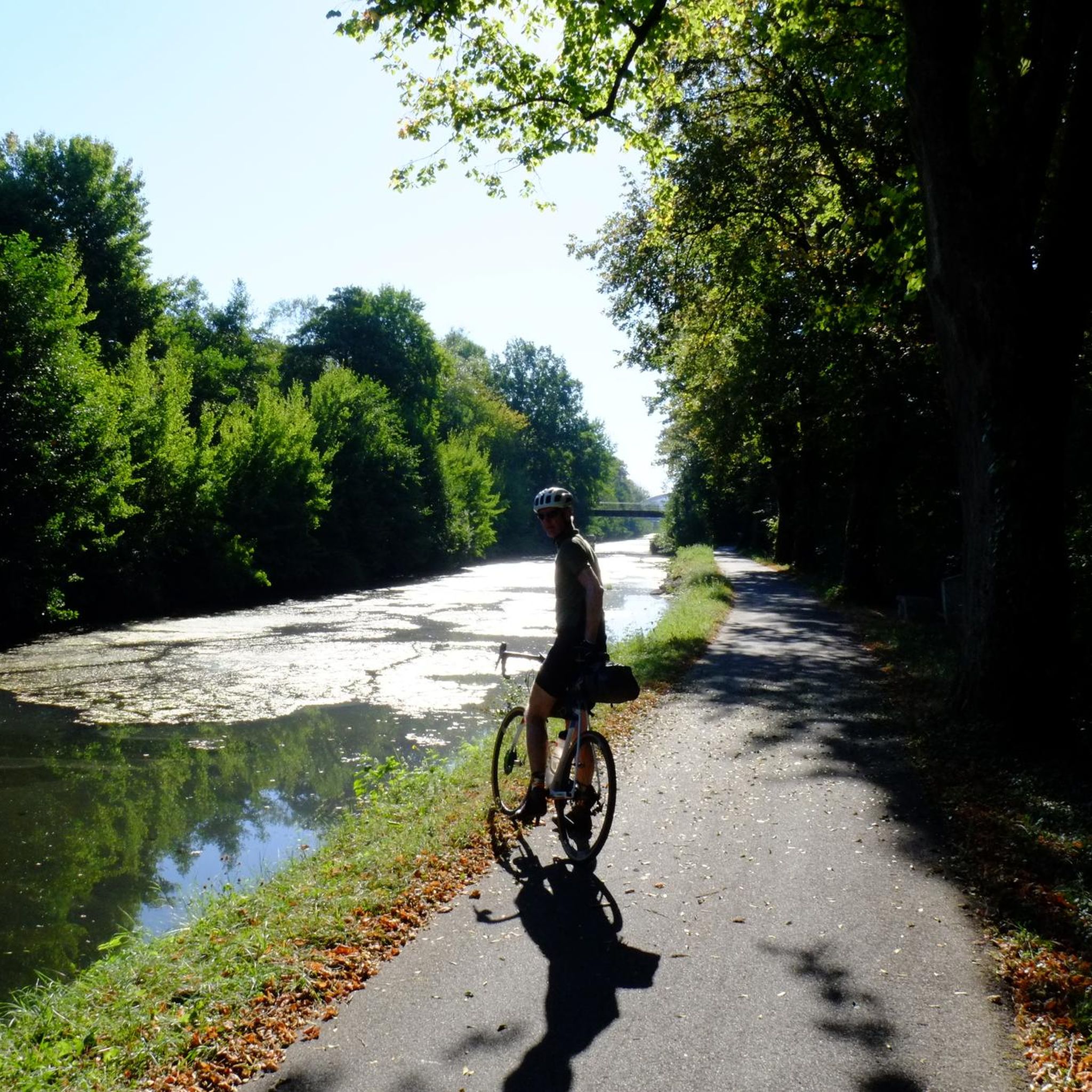
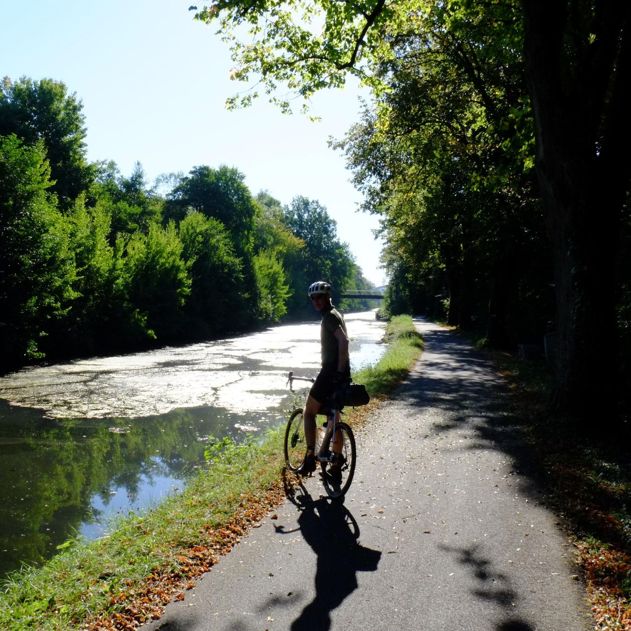
A "chemin de halage", in German "treidelpfad", which runs alongside the waterway right next to the bed of the river or canal, was an indispensable part of the transport infrastructure in earlier times. Before ships could move using motor power, horses ran along the bank and pulled the ship against the current. This was called "treideln", and this is how the "treidelpfads" got their name, which has been passed down to this day. Where these paths directly on the bank have been preserved, they are often used by hikers and cyclists.
0
1

Well done for sharing this knowledge and thank you for taking the time to share it with us.
0
0
Frequently Asked Questions
How many gravel bike trails are available around Andelnach?
There are over 40 gravel bike routes in the Andelnach area, offering a wide range of options for different skill levels and preferences. You'll find a mix of easy, moderate, and challenging trails to explore.
What is the general difficulty level of gravel biking in Andelnach?
Gravel biking around Andelnach offers a diverse range of difficulties. You can find 3 easy routes, 22 moderate routes, and 16 difficult routes. This variety ensures there's something suitable for beginners looking for a relaxed ride as well as experienced riders seeking a challenge.
Are there any family-friendly gravel bike routes in Andelnach?
Yes, Andelnach offers several easier gravel routes that are suitable for families. These trails typically feature smoother surfaces and less challenging terrain. For a gentle introduction, consider one of the 3 easy routes available in the region.
What kind of terrain can I expect on gravel bike trails in Andelnach?
The gravel bike trails in Andelnach are characterized by a mix of natural paths, forest tracks, and rural roads. This provides diverse surfaces and varied landscapes, from rolling hills to more open tracks, ensuring an engaging riding experience.
Are there any scenic viewpoints or natural attractions along the gravel routes?
Many routes in the Andelnach area pass by beautiful natural and historical sites. You can find trails that lead to lakes like Véronne Pond or offer views of Lake Malsaucy. Some routes also feature historical sites such as Fort de Vézelois.
What do other gravel bikers say about the trails in Andelnach?
The gravel routes in Andelnach are highly regarded by the komoot community, holding an average rating of 4.25 stars from 8 reviews. Many of the 71 visitors praise the varied terrain and the well-maintained paths that make for an enjoyable riding experience.
Are there any long-distance gravel routes for experienced riders?
Yes, for experienced riders seeking a longer challenge, routes like the Lake Malsaucy – Lac du Malsaucy loop from Danjoutin offer a significant distance of nearly 75 km with substantial elevation gain, typically taking over 5 hours to complete.
Can I find circular gravel bike routes in the Andelnach region?
Many of the gravel bike routes around Andelnach are designed as loops, allowing you to start and finish at the same point. Examples include the Lac du Malsaucy – Véronne Pond loop from Belfort and the The Boundary Trail – Impressive TGV bridge loop from Nommay.
What is a good moderate gravel bike trail to try in Andelnach?
A popular moderate option is the EV6 and bridge over the Allan – La Coulée Verte loop from Morvillars. This trail is about 31 km long, features varied landscapes, and can typically be completed in just over 2 hours.
Are there any historical sites accessible by gravel bike in the area?
Absolutely. The region around Andelnach is rich in history. You can cycle past impressive fortifications such as the Citadel of Belfort and Mont Vaudois Fort, which are often incorporated into gravel routes.
What is the typical duration for gravel bike rides in Andelnach?
The duration of gravel bike rides in Andelnach varies significantly depending on the route and your pace. Many popular trails, such as the Fort Senarmont, Bessoncourt – Fort de Vézelois loop from Belfort, take around 2 hours to complete, while longer routes can extend to 5 hours or more.
What is the best season for gravel biking in Andelnach?
Andelnach's gravel trails are enjoyable across multiple seasons. Spring and autumn offer pleasant temperatures and vibrant scenery, while summer is ideal for longer days. Even in winter, many routes remain accessible, though conditions may vary with weather.
Most popular attractions around Andelnach

Get inspired with the komoot mobile app


Explore more
Browse the best Gravel rides in other regions.
