The best walks and hikes around Andelnach
4.5
(772)
5,724
hikers
342
hikes
Hiking around Andelnach offers routes through rural landscapes, often featuring forests, river valleys, and historical landmarks. The terrain typically includes gentle ascents and descents, characteristic of the region's rolling hills and agricultural areas. Trails frequently pass by local monuments and natural features, providing varied scenery for hikers.
Best hiking trails around Andelnach
- The most popular hiking route is TGV Rhin-Rhône Viaduct – Stone Cross Monument loop from Bermont, a 5.5 miles (8.9 km) trail that takes 2 hours 24 minutes to complete. This route features a moderate difficulty with varied terrain.
- Another top favourite among local hikers is Fort de Vézelois loop from Meroux-Moval, an easy 3.3 miles (5.3 km) path. This trail offers a gentle walk through the local landscape, often completed in 1 hour 23 minutes.
- Local hikers also love the La Savoureuse loop from Froideval, a 4.9 miles (7.9 km) trail leading through river valleys and forested sections, often completed in about 2 hours 2 minutes.
- Hiking around Andelnach is defined by rural paths, riverine landscapes, and historical sites. The network offers options for various ability levels, from easy strolls to moderate hikes.
- The routes in Andelnach are highly rated by the komoot community with an average score of 4.4 stars from over 600 reviews. More than 4,800 hikers have used komoot to explore Andelnach's varied terrain.
Last updated: October 8, 2026
4.3
(3)
24
hikers
8.31km
02:16
120m
120m
Moderate hike. Good fitness required. Easily-accessible paths. Suitable for all skill levels.
3.5
(2)
14
hikers
5.08km
01:20
40m
40m
Easy hike. Great for any fitness level. Easily-accessible paths. Suitable for all skill levels.

5.0
(1)
12
hikers
7.87km
02:02
40m
40m
Moderate hike. Good fitness required. Easily-accessible paths. Suitable for all skill levels.
6
hikers
7.01km
01:50
50m
50m
Easy hike. Great for any fitness level. Easily-accessible paths. Suitable for all skill levels.
10
hikers
6.93km
01:45
10m
10m
Easy hike. Great for any fitness level. Easily-accessible paths. Suitable for all skill levels.
Get access to more routes and recommendations from other explorers.
Already have an account?
Our route recommendations are based on thousands of hikes, rides, and runs completed by other people on komoot.
Start today with a free account
Your next adventure awaits.


Tips from the Community

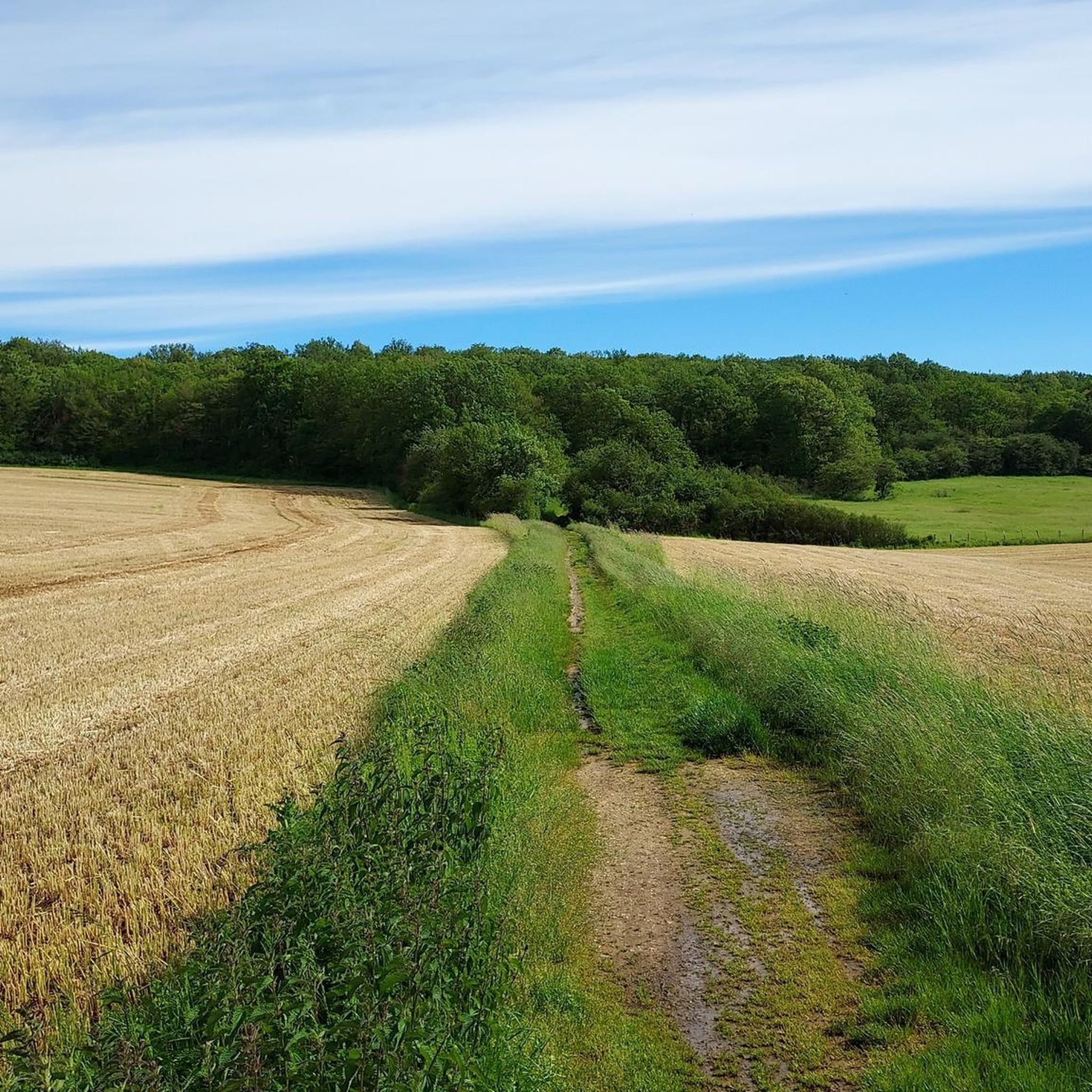
I noticed this highlight during my search. However, it is not on the Haute Saône Canal but on an independent river, the Savoureuse. According to Wikipedia: The Savoureuse is a right tributary of the Allan, around 41 kilometers long, in the French department of Territoire de Belfort in the Bourgogne-Franche-Comté region. It flows through the city of Belfort and drains the western part of the department to the Mediterranean via the Allan, Doubs, Saône and Rhône water system. The Savoureuse catchment area covers an area of around 225 km². The river name comes from the Patois expression savour (saw). https://de.m.wikipedia.org/wiki/Savoureuse
2
0

Memorial to the fallen of the two world wars 🕊️
0
0

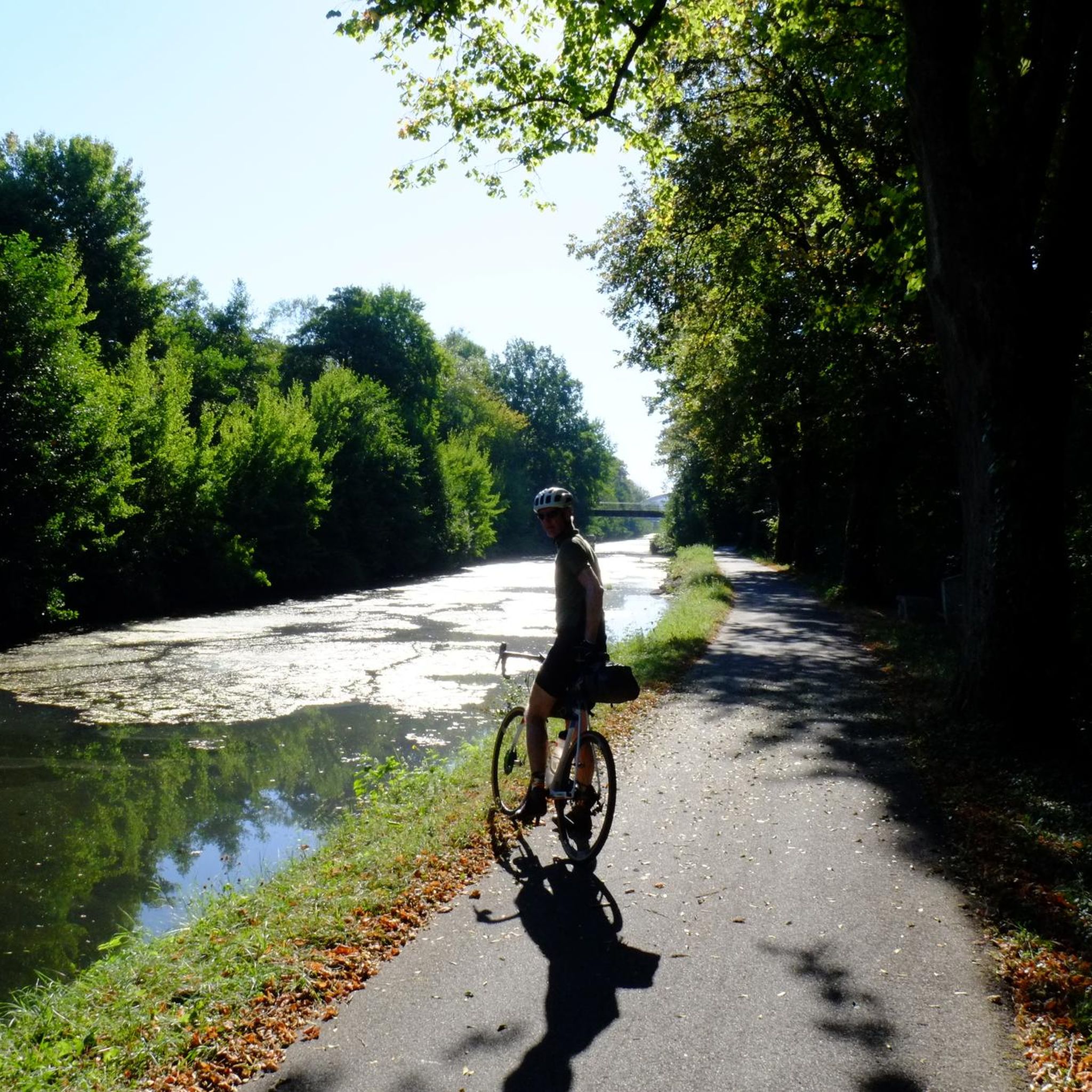
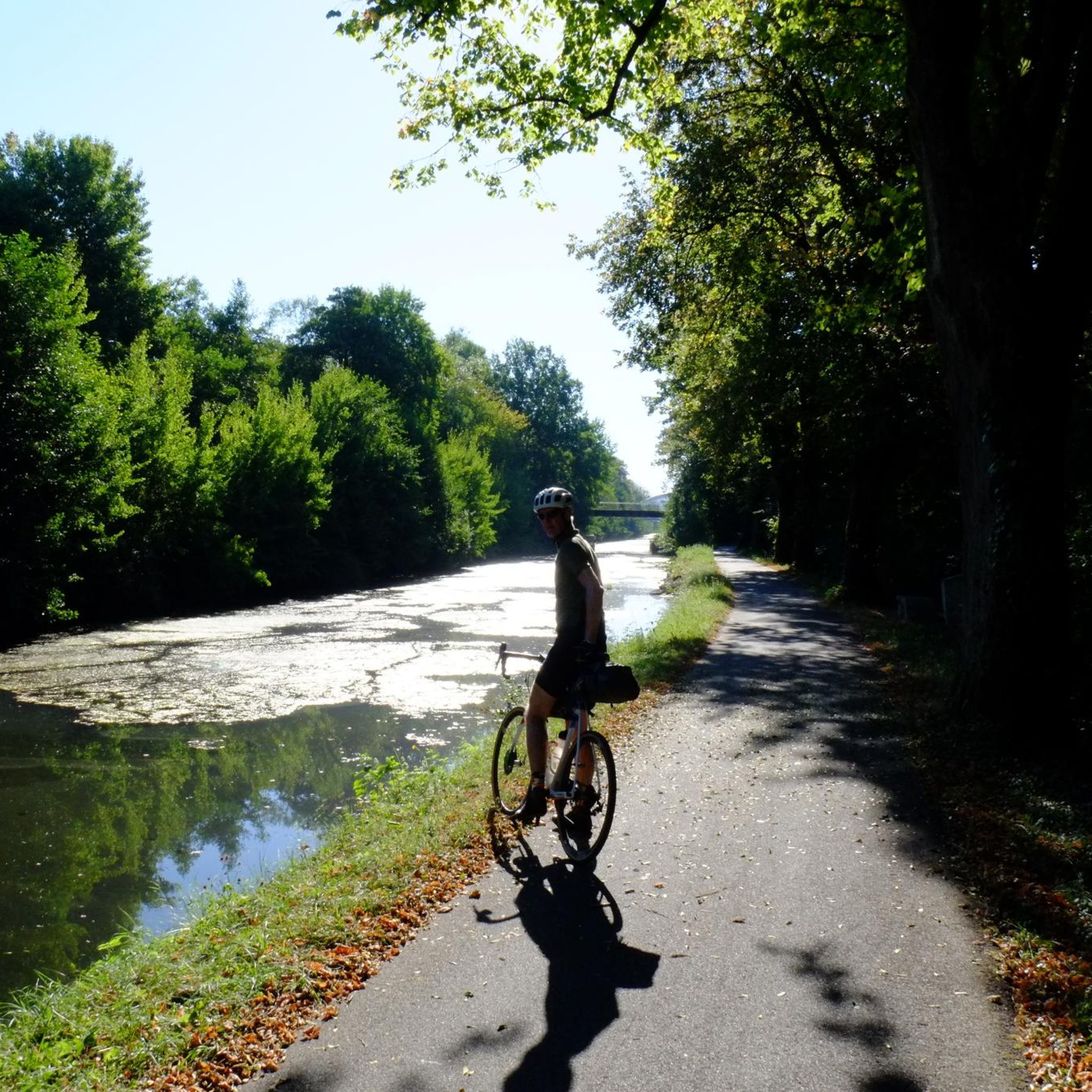
Beautiful cycle route Coulée Verte along the canal. The name is a bit..., I suggested a change on Komoot.
1
1

“Each of these crosses can tell its own story and what prompted people to erect “their” cross at this point. (...) These wayside crosses were erected as visible signs and attract the attention of many people. The cross is a symbol of life. It stands as a sign of our Christian hope and wants to direct our gaze to Jesus Christ, who has overcome death (...). The cross is part of our life as it was in the life of Jesus. So I wish that many people … visit the crosses, whether as places of stillness and breathing space before God, whether as places for community gatherings, prayer and praise to God.” (Text source: Dean Rainald M. Ollig in: "Crossroads... small sacred monuments as a sign of popular piety")
2
0

The first mention of the name Bellemonte dates from 1147, in a charter confirming the possession of the church to the priory of Lanthenans (Doubs). From this period, the current parish church, dedicated to Saint Lawrence, only retains part of the choir, a polygonal apse in Romanesque style. This building, which dominates the Savoureuse valley, is an important landmark for local users of the A36 motorway.
0
0
Fort du Bois-d'Oye, also called Fort de Bermont (because it is located in the town of Bermont) and briefly Fort Eblé (its name Boulanger in honor of General Jean-Baptiste Eblé), was built between 1883 and 1887 by the company Adrien Hallier. It is a work that is part of the fortifications of eastern France of the Séré de Rivières type. It is an integral part of the stronghold of Belfort.
0
0
It was built from 1883 to 1886 by the Adrien Hallier company and takes its name Boulanger from the General of the Empire, Michel Ordener. Fort Ordener was built at the same time and with the aim of covering Fort Bessoncourt. Its role was to control the roads coming from Switzerland as well as the Mulhouse railway. From 1893 this fort was connected to a number of other forts around Belfort by a strategic railway. During the two World Wars Fort Ordener was inactive. It will then be used as an ammunition depot for the army. Fort Ordener was bought by the municipality of Vézelois in 1999. The association "Le Renouveau du Fort de Vézelois" takes care of the restoration and communication around the fort.
0
0
It was built from 1883 to 1886 by the Adrien Hallier company and takes its Boulanger name from the general of the Empire, Michel Ordener. Fort Ordener was built at the same time and with the aim of covering Fort Bessoncourt. His role was to control the roads coming from Switzerland as well as the Mulhouse railway line. From 1893 this fort was linked to a number of other forts around Belfort by a strategic railway. During the two World Wars Fort Ordener was inactive. It will then be used as an ammunition depot for the army. Fort Ordener was bought by the municipality of Vézelois in 1999. The association "Le Renouveau du Fort de Vézelois" takes care of the restoration and communication around the fort.
1
0
Frequently Asked Questions
How many hiking trails are there around Andelnach?
There are over 320 hiking routes available around Andelnach, catering to various preferences and fitness levels. The trails offer a mix of rural landscapes, forests, and river valleys.
What kind of terrain can I expect on hikes around Andelnach?
Hikes around Andelnach typically feature rural paths with gentle ascents and descents, characteristic of the region's rolling hills and agricultural areas. You'll encounter varied scenery including forests and river valleys.
Are there easy hiking trails suitable for beginners in Andelnach?
Yes, Andelnach offers a good selection of easy trails. For instance, the Fort de Vézelois loop from Meroux-Moval is an easy 3.3-mile (5.3 km) path, often completed in about 1 hour 23 minutes, providing a gentle walk through the local landscape. Overall, there are 147 easy routes available.
What are some notable landmarks or attractions I can see while hiking in Andelnach?
Many trails pass by local monuments and natural features. You can explore historical sites like the Citadel of Belfort or the Fort de Vézelois. The region also features beautiful natural areas such as the Savoureuse Valley Nature Reserve and various ponds like Véronne Pond.
Are there any circular hiking routes in Andelnach?
Yes, many of the trails around Andelnach are circular, offering convenient starting and ending points. Examples include the TGV Rhin-Rhône Viaduct – Stone Cross Monument loop from Bermont and the La Savoureuse loop from Froideval.
What do other hikers say about the trails in Andelnach?
The trails in Andelnach are highly regarded by the komoot community, with an average rating of 4.4 stars from over 600 reviews. Hikers often praise the varied scenery, including rural paths, riverine landscapes, and historical sites, as well as the options available for different ability levels.
Are there any moderate hiking trails for those looking for a bit more challenge?
Absolutely. Andelnach offers 163 moderate trails. A popular choice is the Remembrance Square loop from Andelnans, which is 7.1 miles (11.4 km) long and takes approximately 3 hours 5 minutes to complete, featuring a moderate difficulty with varied terrain.
Can I find trails that go through river valleys in Andelnach?
Yes, the region around Andelnach is characterized by river valleys. Many routes, such as the La Savoureuse loop from Froideval, lead through these picturesque areas, offering beautiful riverside scenery.
What is the best time of year to go hiking in Andelnach?
The rural landscapes, forests, and river valleys around Andelnach can be enjoyed throughout much of the year. Spring and autumn offer pleasant temperatures and vibrant scenery, while summer provides longer daylight hours. Winter hiking is also possible, though conditions may vary.
Are there any hiking routes that offer views of the Citadel of Belfort?
Yes, some trails in the area provide excellent views of the Citadel of Belfort. You can find specific viewpoints like the View of the Belfort citadel along certain routes, offering scenic perspectives of this historical landmark.
Are there any trails suitable for families with children?
While specific 'family-friendly' designations are not provided in the data, the numerous easy and moderate routes with gentle terrain and varied scenery, including forests and historical sites, are generally suitable for families. The shorter, easier loops are often a good choice for outings with children.
Most popular routes around Andelnach
Most popular attractions around Andelnach

Get inspired with the komoot mobile app


Explore more
Browse the best Hikes in other regions.
