The best gravel rides around Éloie
4.6
(21)
162
riders
43
rides
Gravel bike trails around Éloie are situated within the Ballons des Vosges Regional Natural Park, offering a diverse landscape for cycling. The region features rounded mountain peaks, expansive high-altitude pastures, and dense forests of oak, beech, and pine. Riders can expect varied terrain, including loose gravel, packed dirt, and some paved sections, alongside peat bogs, lakes, and rivers. This environment provides a range of gravel biking experiences, from challenging mountain ascents to more accessible routes.
Best gravel bike trails around…
Last updated: November 2, 2026
4.3
(3)
27
riders
55.9km
04:06
1,390m
1,390m
Hard gravel ride. Very good fitness required. You may need to push your bike for some segments of this route.
5.0
(4)
28
riders
100km
05:57
740m
740m
Hard gravel ride. Very good fitness required. Mostly paved surfaces.

5.0
(3)
11
riders
31.8km
01:57
240m
240m
Moderate gravel ride. Good fitness required. Mostly paved surfaces.
5.0
(3)
17
riders
33.9km
02:06
240m
240m
Hard gravel ride. Good fitness required. You may need to push your bike for some segments of this route.
4.0
(1)
17
riders
64.2km
03:53
530m
530m
Hard gravel ride. Very good fitness required. Mostly paved surfaces.
Get access to more routes and recommendations from other explorers.
Already have an account?
Our route recommendations are based on thousands of hikes, rides, and runs completed by other people on komoot.
Start today with a free account
Your next adventure awaits.


Tips from the Community

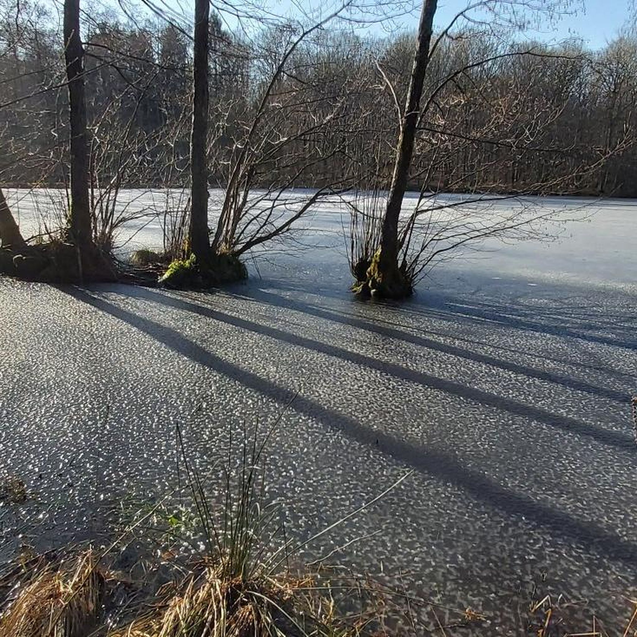
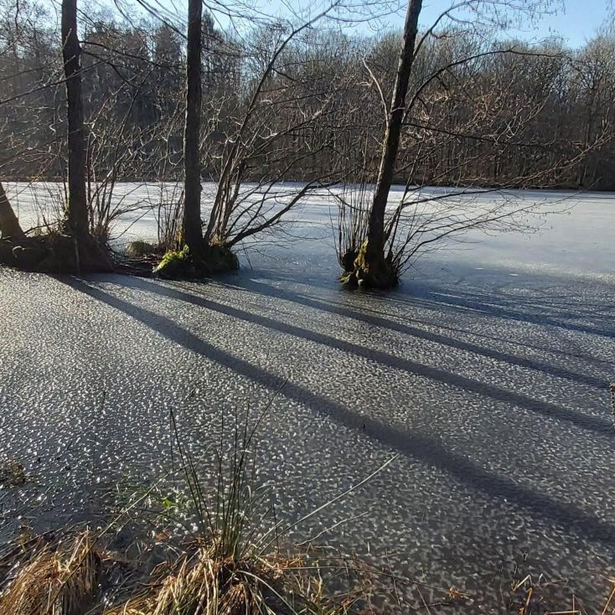
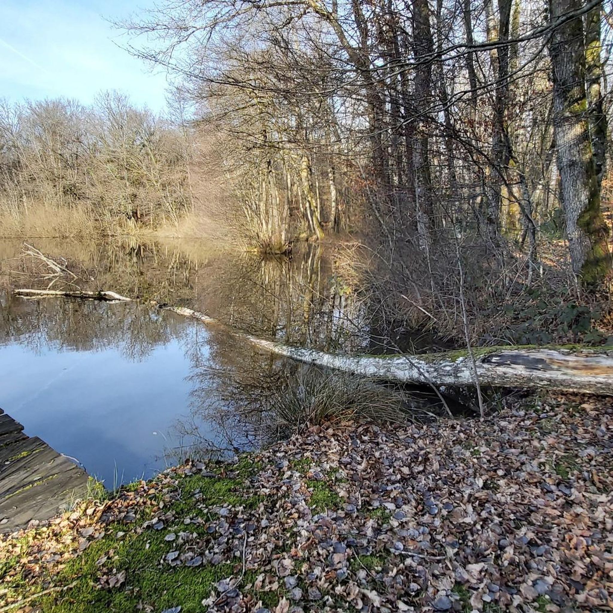
This large lake is a popular stop along the cycling routes around Belfort, with beautiful views over the water and the surrounding nature.
7
0
The Étang du Malsaucy (often also called Lac du Malsaucy) is, with an area of 55 hectares, the largest lake in the French department of Territoire de Belfort. It is nestled in the Parc naturel régional des Ballons des Vosges, spread across the municipalities of Évette-Salbert, Lachapelle-sous-Chaux, and Sermamagny. Originally built at the end of the 15th century for fish farming, it is now one of the most important recreational and natural areas in the region.
7
0
A comfortable, car-free and beautiful cycle path to Lac du Malsaucy, one of the most beautiful recreational areas of the Territoire de Belfort.
1
0
La Planche des Belles Filles is a 5.8 kilometer climb. It is a category 1 climb. It is located in Plancher Les Mines, Franche-Comté, France. The average gradient of this climb is 8.6% with a maximum of 13.6%. La Planche des Belles Filles climbs from 527 meters at the start to 1,033 meters at the summit, for a total elevation gain of 506 meters.
7
0
This 5.9-kilometer climb from the village of Plancher-les-Mines in Haute-Saône is one of the most difficult in the Vosges. Indeed, cyclists who want to try it will need to be at least somewhat trained. With a gradient of 24% towards the end of the route, it's better to be well-attached. The gradient never seems to ease, with its hairpin bends and, upon reaching the resort, the last 2 kilometers rise like a wall. However, you'll be able to say that you've done it, so come and try the climb of La Planche too!
8
0

Super tough to get there...
0
0
It starts gently... but that's just the beginning.
1
0
Long hesitated to do it. Short but very hard, with the Pinot turn and the last ramp of the super board to tell yourself that it's really hard.
0
0
Frequently Asked Questions
How many gravel bike trails are available around Éloie?
There are over 45 gravel bike trails around Éloie, offering a wide range of experiences. These routes are situated within the Ballons des Vosges Regional Natural Park, providing diverse landscapes for cycling.
What kind of terrain can I expect on gravel bike trails near Éloie?
The terrain around Éloie is quite varied, reflecting its location in the Ballons des Vosges Regional Natural Park. You can expect a mix of loose gravel, packed dirt, and some paved sections. The routes often traverse dense forests, high-altitude pastures, and feature mountain landscapes with rounded peaks, along with serene lakes and rivers.
Are there challenging gravel routes for experienced riders in the Éloie area?
Yes, Éloie serves as an excellent starting point for demanding gravel biking adventures. Routes like the Ballon d'Alsace – Col du Ballon d'Alsace loop from Giromagny, at nearly 56 km with significant elevation gain, are classified as difficult and require good fitness. Another challenging option is the La Planche des Belles Filles – Ballon de Servance loop from Giromagny, which is even longer and features over 2000 meters of ascent.
Are there any moderate or easier gravel biking options around Éloie?
While many routes are challenging, there are more accessible options. For instance, the Lac du Malsaucy – Véronne Pond loop from Belfort is a moderate 38 km trail that leads through natural areas and lakeside paths, often completed in about 2 hours. The region offers a range of experiences to suit different skill levels.
What interesting landmarks or historical sites can I see along the gravel bike trails?
Many routes pass by significant historical sites. For example, the Fort Senarmont, Bessoncourt – Fort de Vézelois loop from Belfort explores fortifications like Fort Senarmont, Bessoncourt and Fort de Vézelois. The iconic Lion of Belfort and the Citadel of Belfort are also prominent attractions in the wider area.
Are there circular gravel bike routes available near Éloie?
Yes, many of the gravel bike trails around Éloie are designed as loops, allowing you to start and finish at the same point. Examples include the Ballon d'Alsace – Col du Ballon d'Alsace loop from Giromagny and the Malsaucy cycling link – Lac du Malsaucy loop from Lachapelle-sous-Chaux.
What do other gravel bikers enjoy most about the trails in Éloie?
The gravel biking routes in Éloie are highly rated by the komoot community, with an average score of 4.3 stars from over 14 reviews. Riders often praise the diverse terrain, the stunning natural beauty of the Ballons des Vosges Regional Natural Park, and the variety of routes catering to different fitness levels.
Is it possible to access the gravel trails using public transport from Belfort?
While Éloie itself is a smaller commune, the nearby city of Belfort serves as a regional hub with public transport connections. From Belfort, you can often find local bus services that may take you closer to various starting points for gravel trails, including those around the Lac du Malsaucy or towards the fortifications.
Are there any specific permits required for gravel cycling in the Territoire de Belfort region?
Generally, no specific permits are required for gravel cycling on established trails within the Territoire de Belfort or the Ballons des Vosges Regional Natural Park. However, it's always advisable to respect local signage, private property, and any specific regulations that might apply to certain protected natural areas.
What is the best season for gravel biking around Éloie?
The best time for gravel biking around Éloie, especially in the Ballons des Vosges Regional Natural Park, is typically from spring through autumn. During these seasons, the weather is generally milder, and the trails are more accessible. Winter can bring snow and ice, particularly at higher elevations, making some routes challenging or impassable.
Are there any cafes or amenities along the gravel routes near Éloie?
While Éloie is a quiet commune, some routes, especially those closer to larger towns like Belfort or passing through villages, may offer opportunities for cafes or small shops. It's always a good idea to plan your route and carry sufficient water and snacks, especially on longer or more remote trails within the Ballons des Vosges Regional Natural Park.
Most popular attractions around Éloie

Get inspired with the komoot mobile app


Explore more
Browse the best Gravel rides in other regions.
